
Start of the trail and definitely more snow here than last time. It was exactly a month since my last trip here. Hopefully the lessons learned from last time…

Crossing Mill Creek in the morning. No problem. Well naturally I go to hop onto one of those darker rocks, and it's covered in black ice. Kerplunk! I slip off…
Top of the switchbacks and into the valley at Vivan Creek camp. One of the more picturesque spots in Southern CA. Unfortunately, I'm still without my normal…
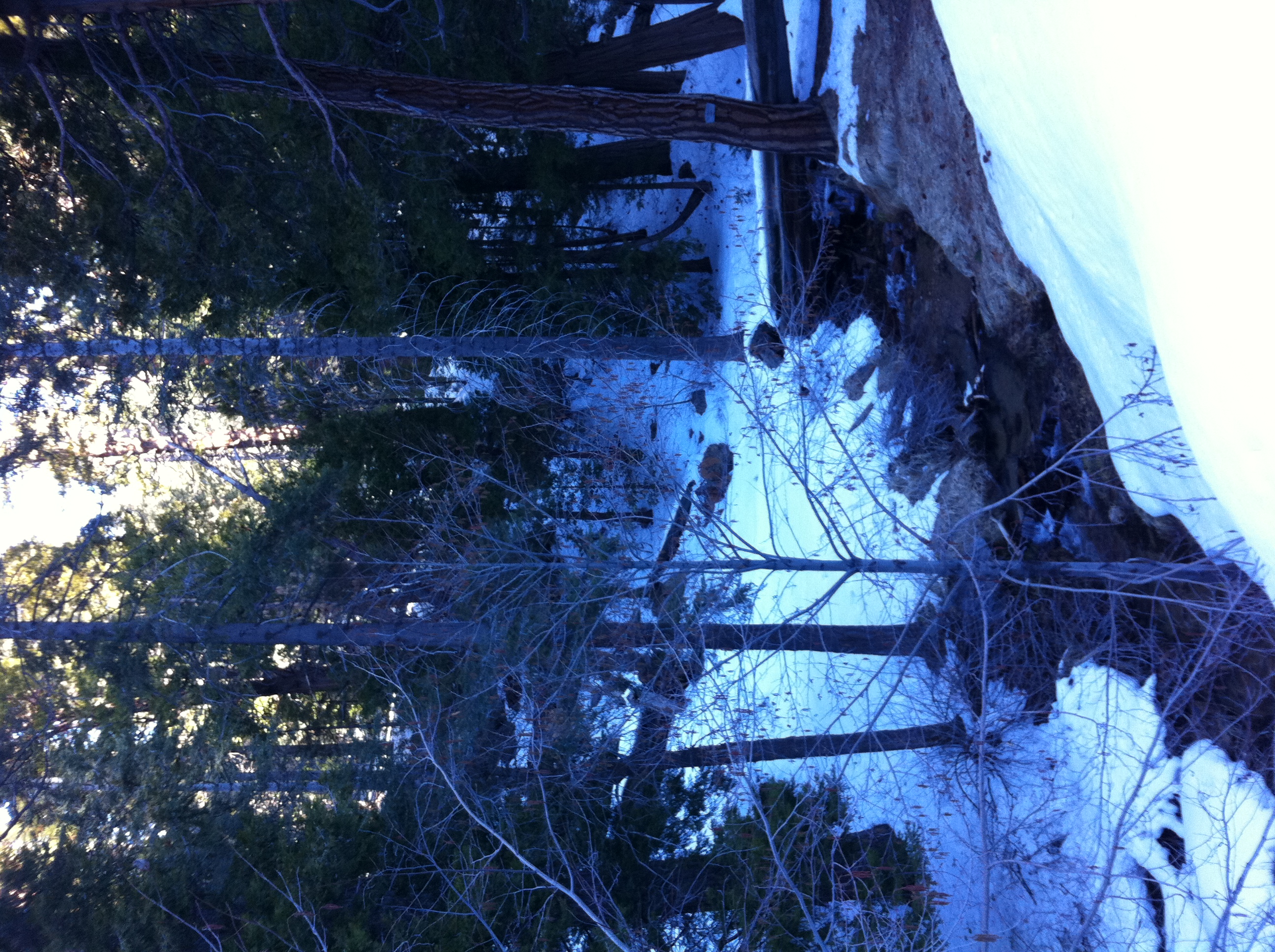
Definitely more snow than a month ago.

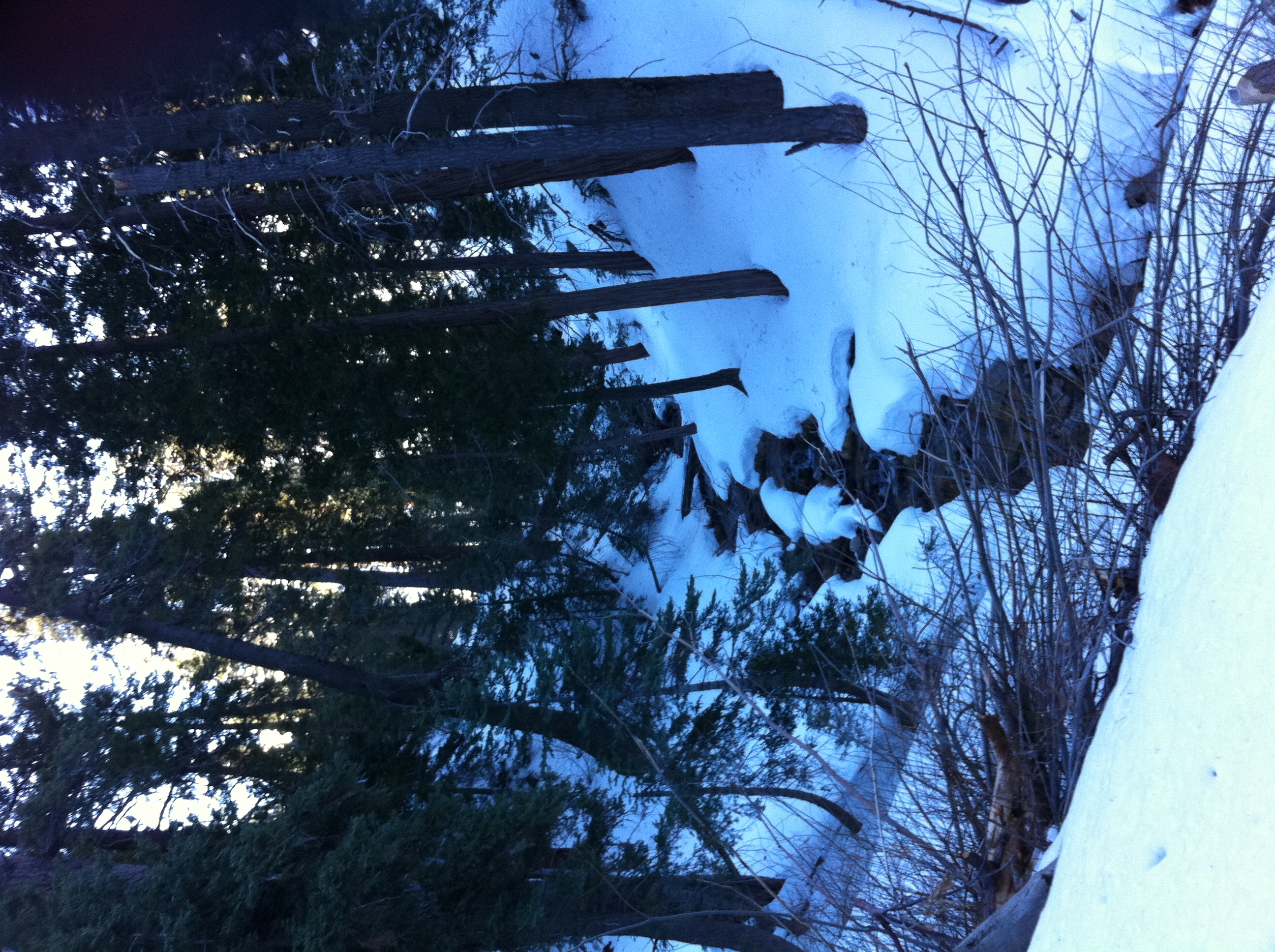
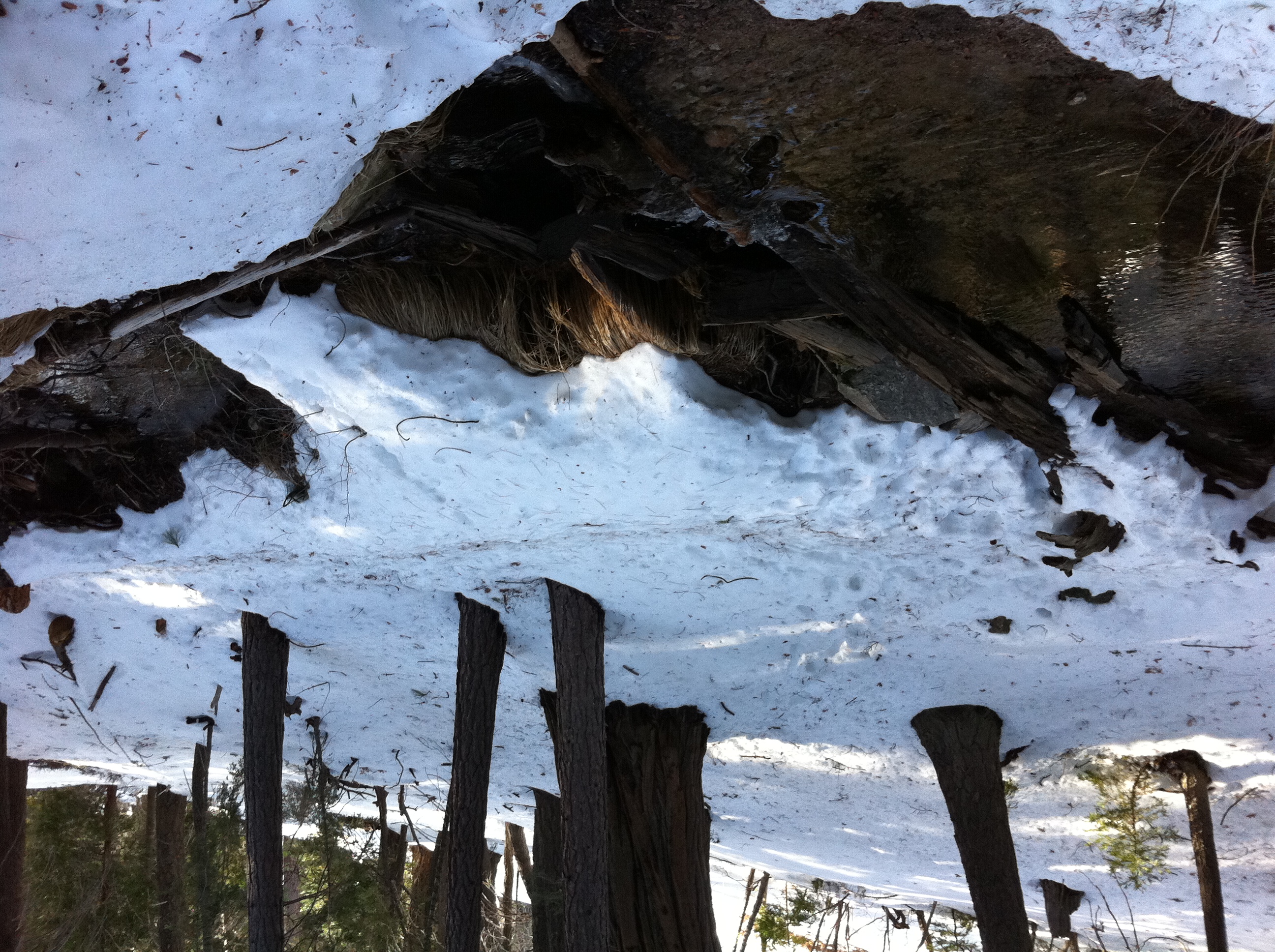
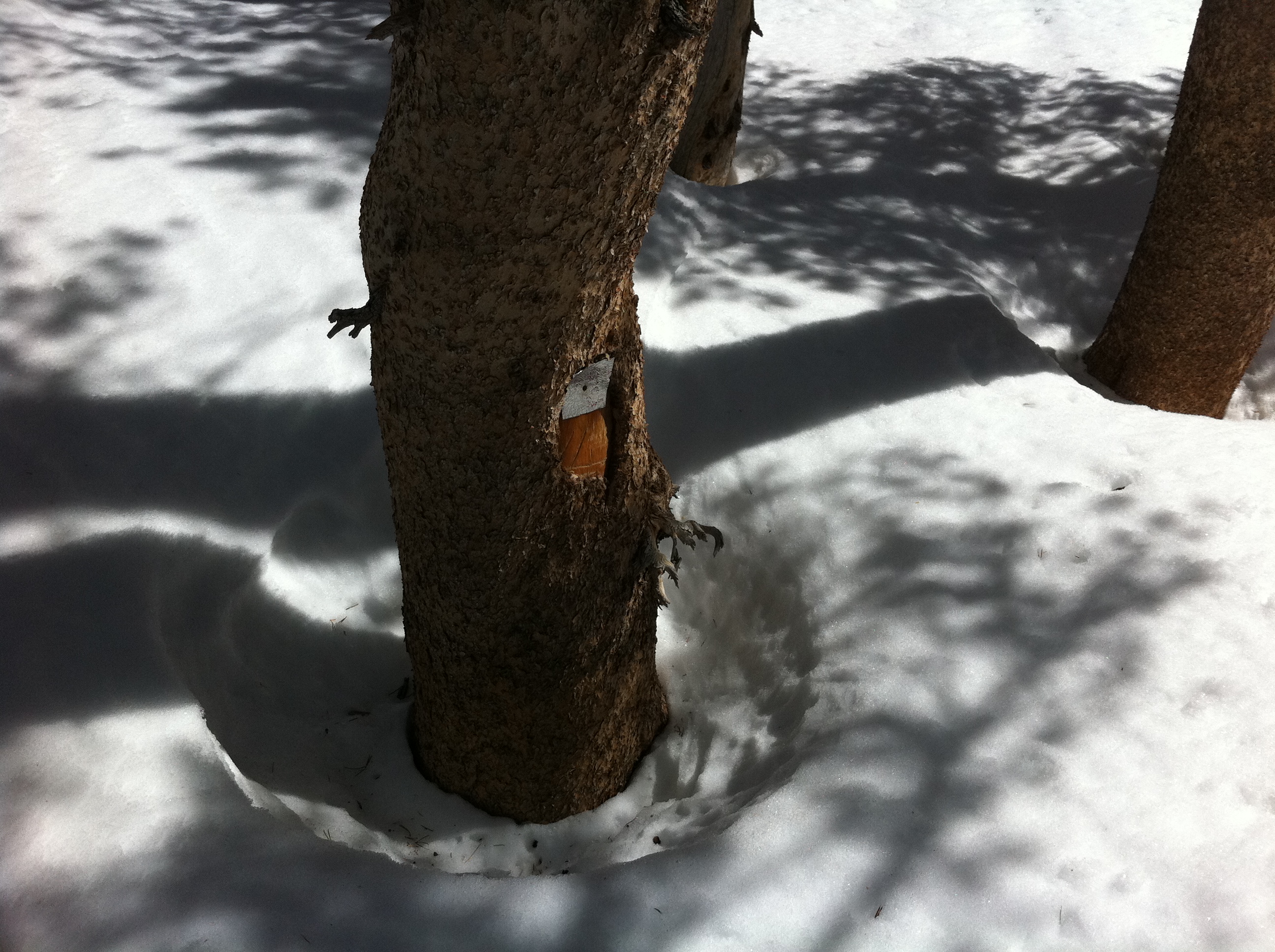
Coming up to the first creek crossing.
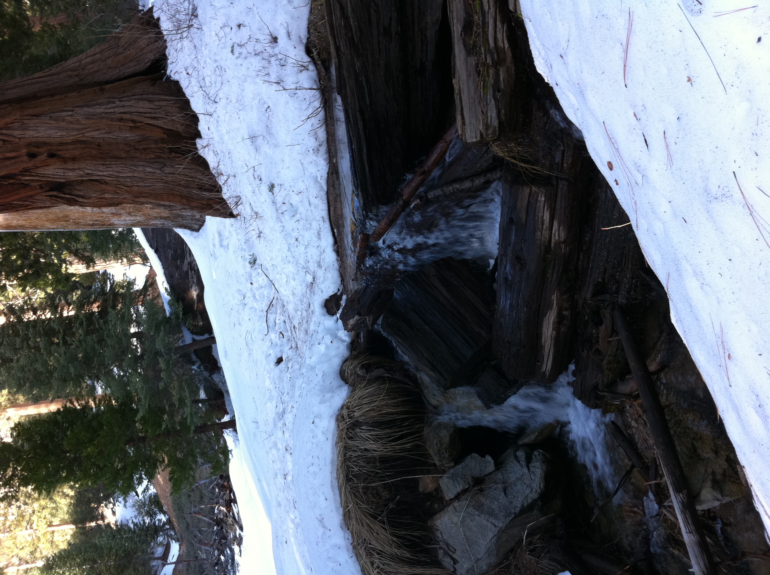
Definitely one of my favorite spots in Southern CA.
A better pic this time of one of my favorite spots along Vivian Creek.
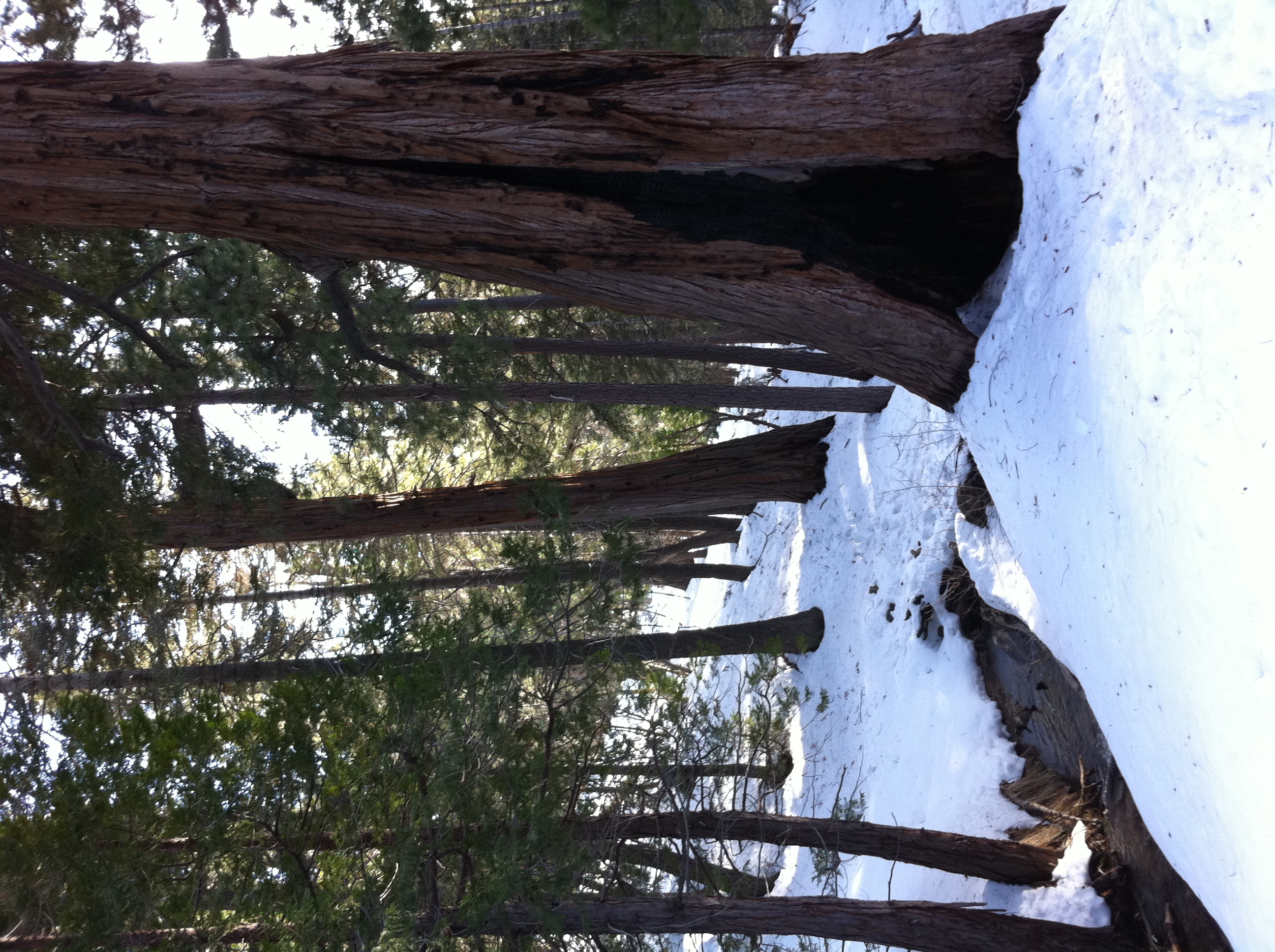
Making it my up towards Halfway Camp.
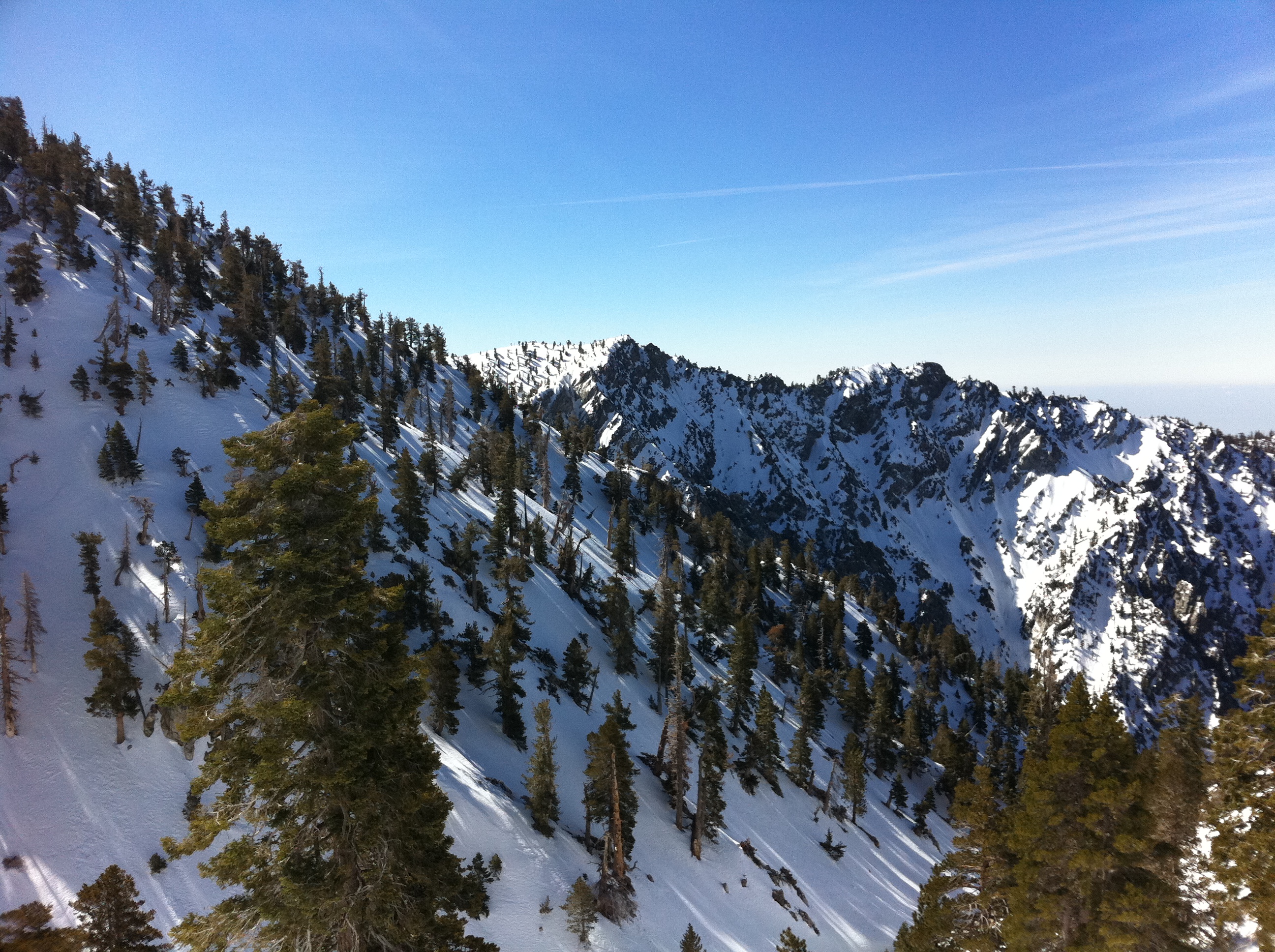
Made it back up to the rugged alpine terrain above Halfway Camp. This time, I managed to avoid the detours on the way to High Creek and probably saved at least…
High Creek camp. Comparing pics, the snow is at least 1-2 feet deeper than last time I was here.
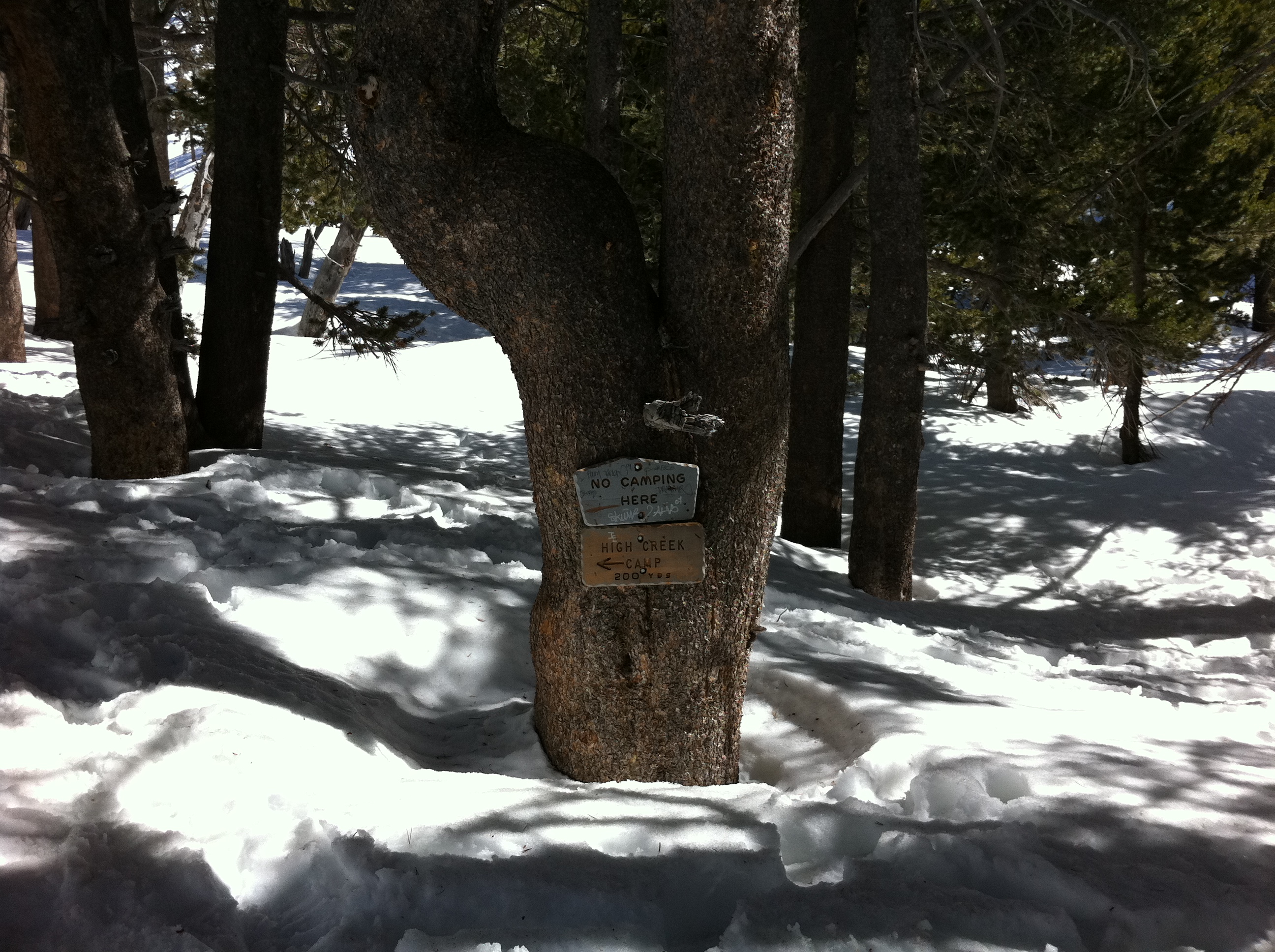
Headed up the valley to the ridge above High Creek. I'm still not exactly sure what the real trail here looks like. I know there are a few long switchbacks, but…
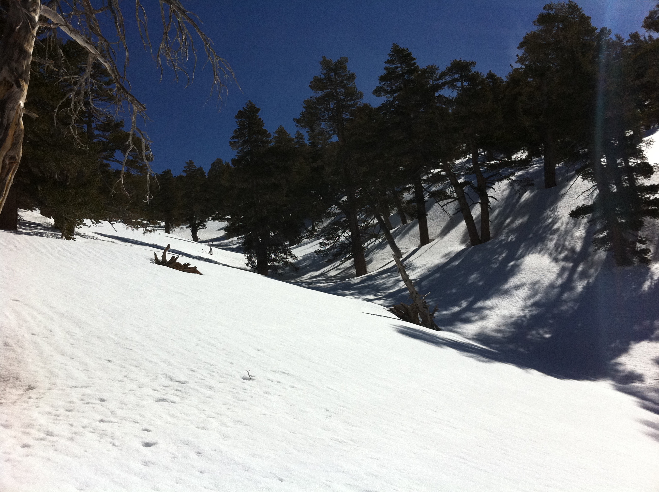
It's hard to go wrong route-finding up the valley from High Creek, but I wanted to try to hit the ridge as close as possible to the real trail. When I finally…

The view of San Jacinto from the ridge above High Creek. It's an amazing spot.

I had nice tracks to follow all the way up to High Creek, and the snow was firmly packed, making for a pretty fast pace. But above High Creek I could find NO…

Just a little bit past where I ended my day last time at right around 10,000'. At this point, you've hit the end of the ridge from High Creek and you make the…
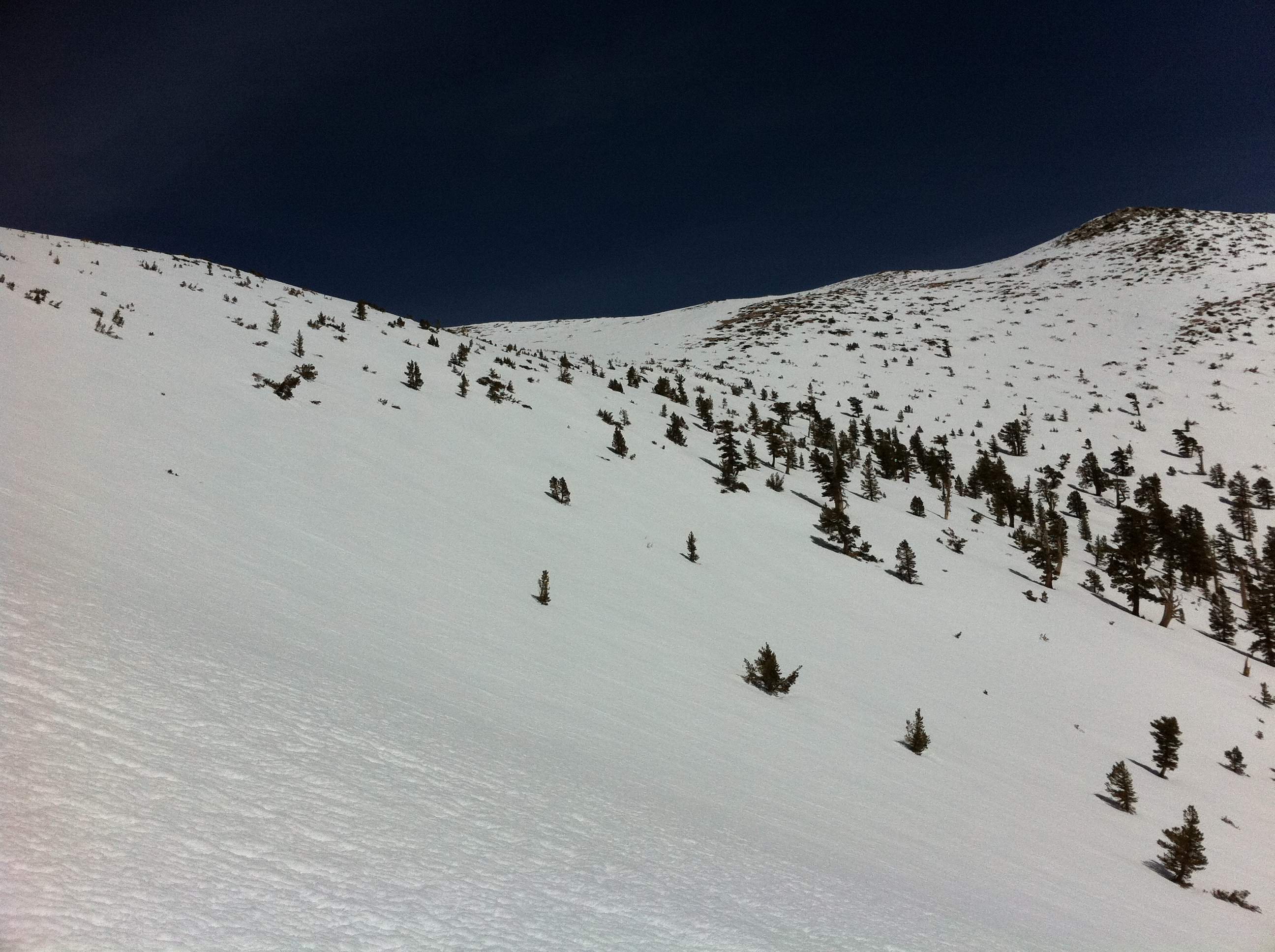
As you approach the final ridge before the summit, it becomes clear that there's going to be a lot of traversing here. It's tough to measure scale in the pic,…
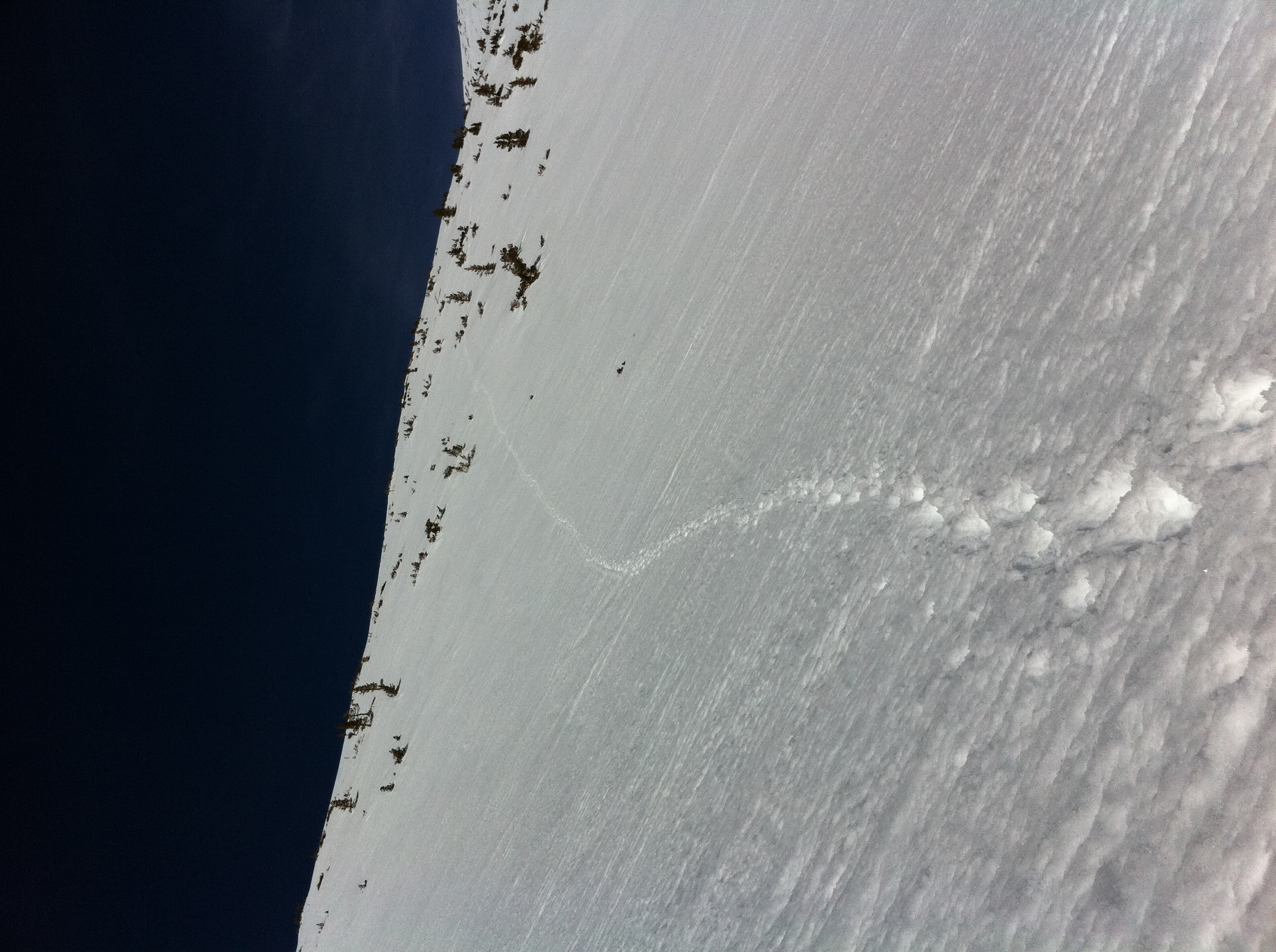
A look at part of my traverse. This is actually taken later in the day on the way back, so there were no tracks the first time across it. Like usual, the…

A look downslope from my traversing tracks. This gives maybe a little bit of sense of how steep the slope is. If you slip and don't manage to self-arrest,…
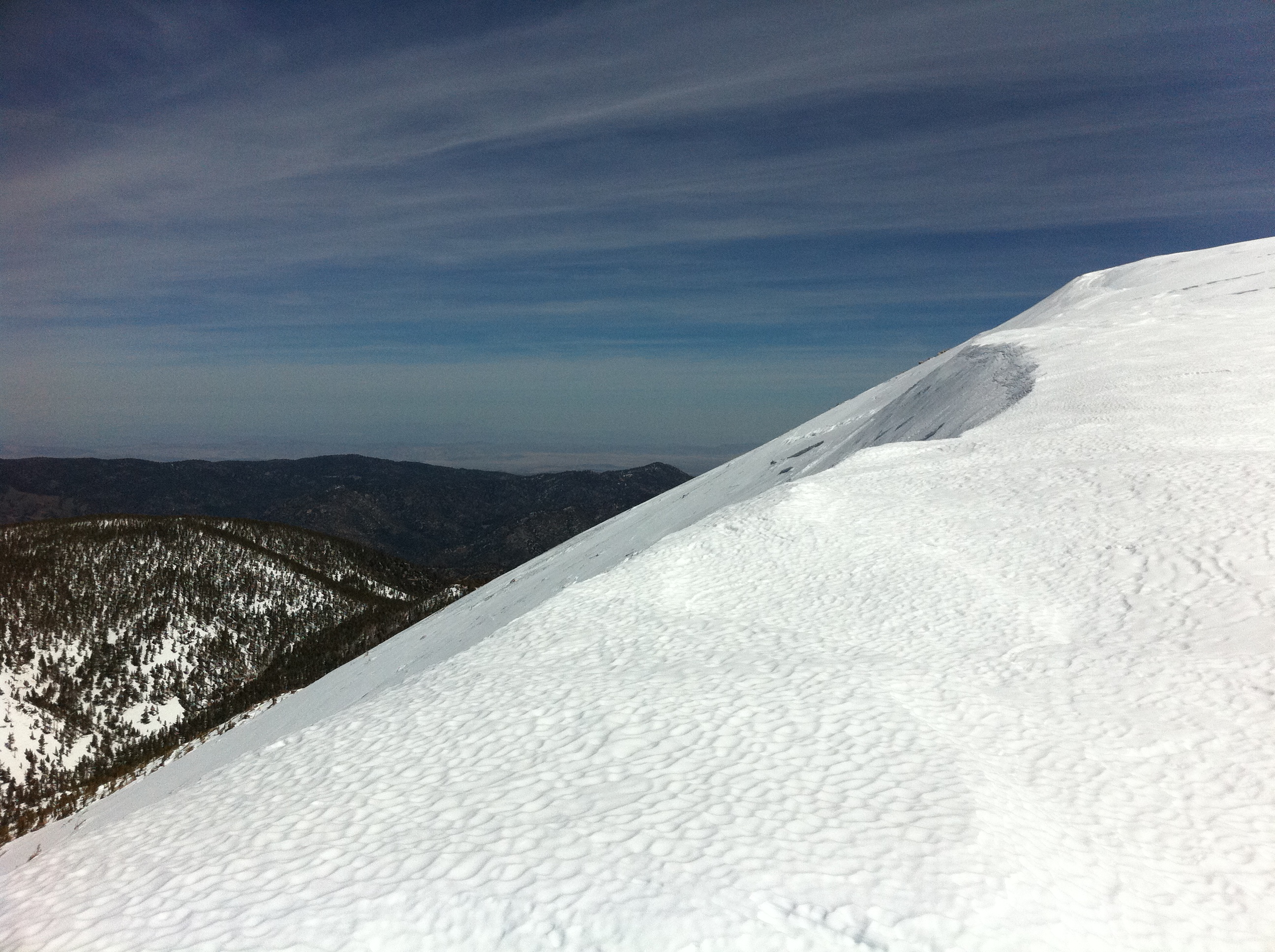
Just about up to the ridge. This is looking back where I just came from. You can see some of my traversing tracks across the slop in the distance again giving…
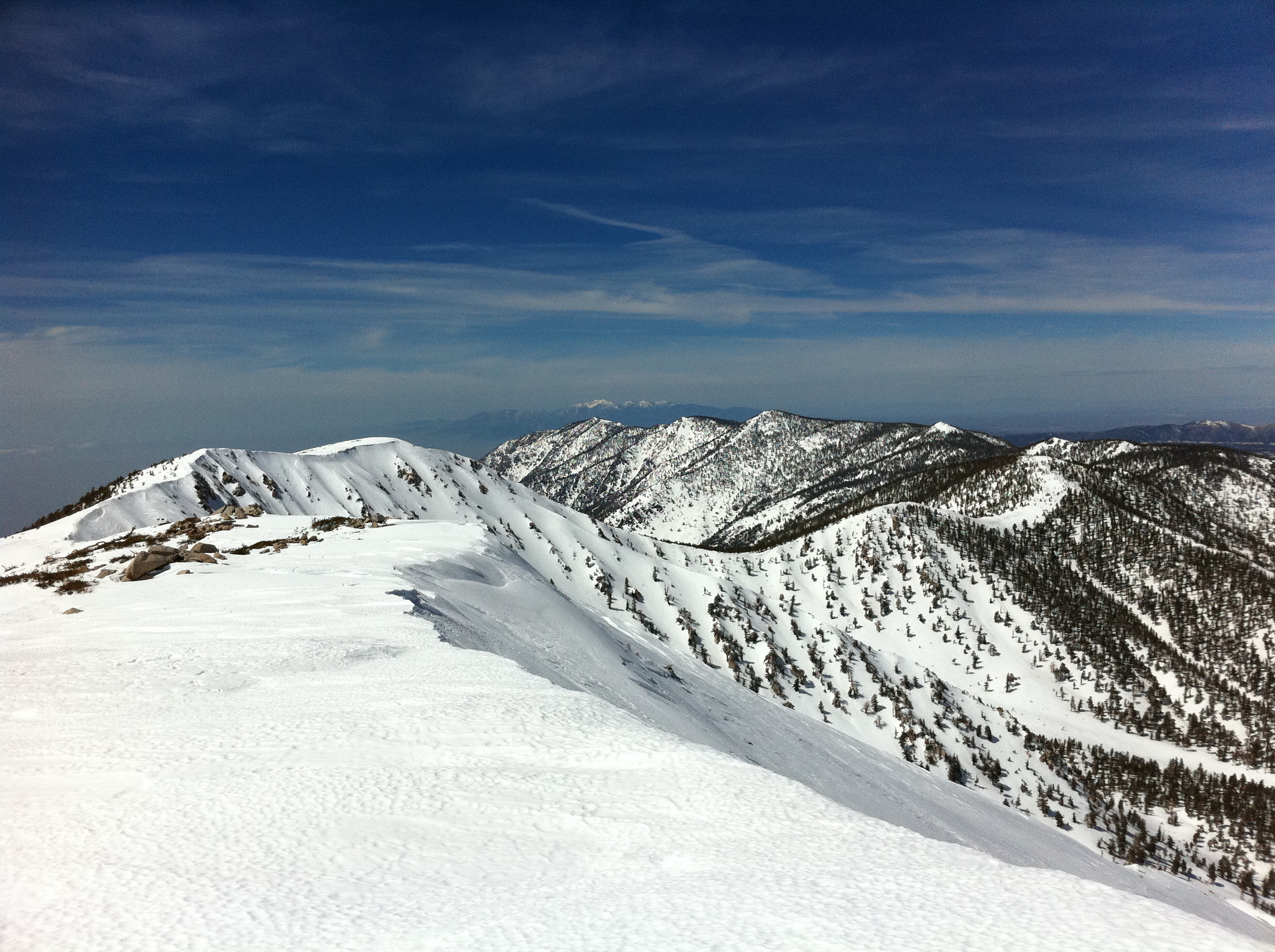
Made it to the ridge just below the summit. This is looking the opposite direction from the summit. Absolutely amazing views in all directions. That's Mt. Baldy…