Yehudiya and Sea of Galilee
3/1/13 On the last day of the trip, I rented a car and drove up the Mediterranean coast to Haifa and then East to Nazereth and ultimately to the Golan Heights and the Sea of Galillee for some great trail running.
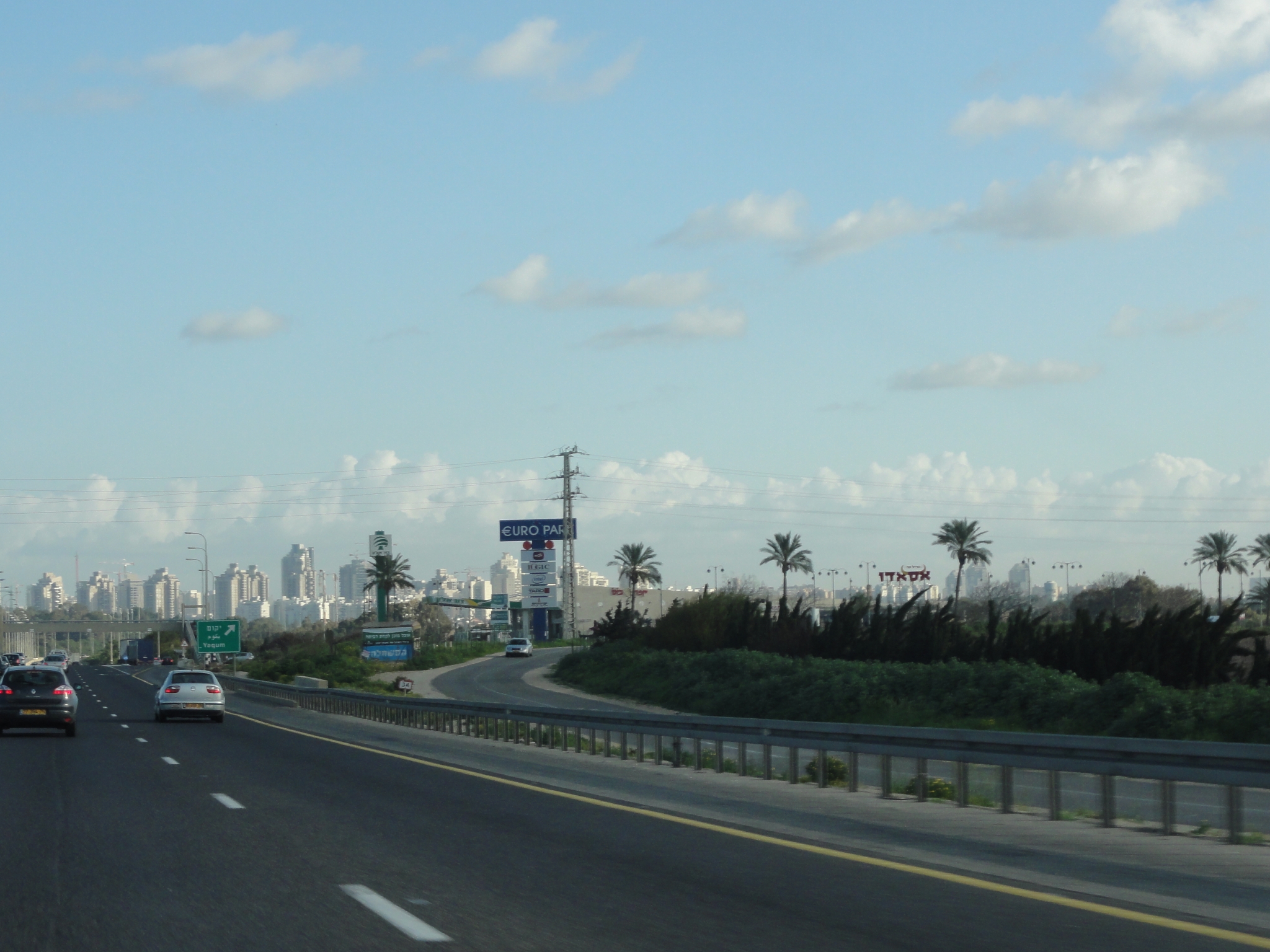 1 Heading up the coast of Israel. Here I'm on the outskirts of some fairly large city between Tel Aviv and Haifa. Thank goodness most of the signs are in Hebrew, Arabic, and English. |
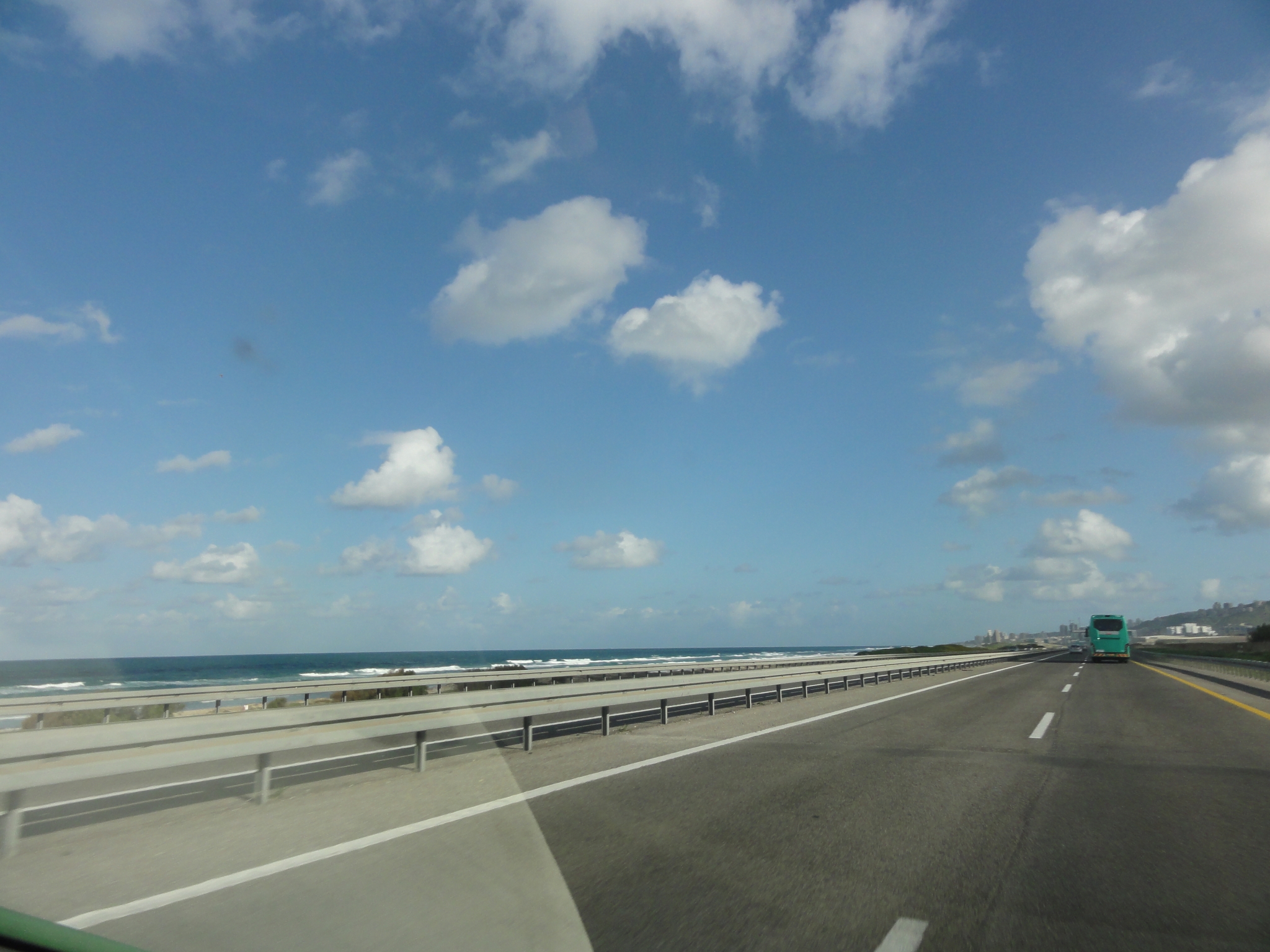 2 The beautiful Mediterranean coastline out the window of my tiny green POS rental car. Almost to Haifa. |
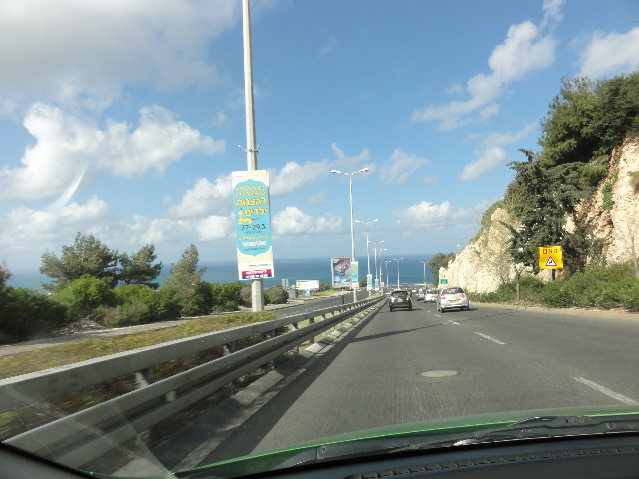 3 I got off the main highway to look for food and ended-up in the hillside town of South Haifa, which reminded me a bit of Laguna Beach. I didn't really get to stop in Haifa proper, but the area is gorgeous. Just Google for Haifa to see some better pics. |
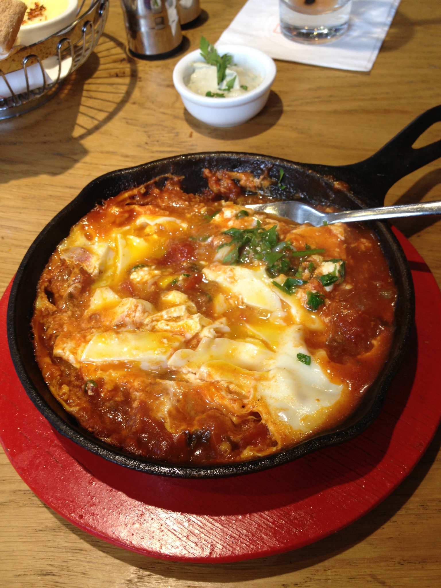 4 My breakfast in Haifa. This is Shakshuka, a traditional breakfast of eggs and tomato. Amazingly fresh, and amazingly good. |
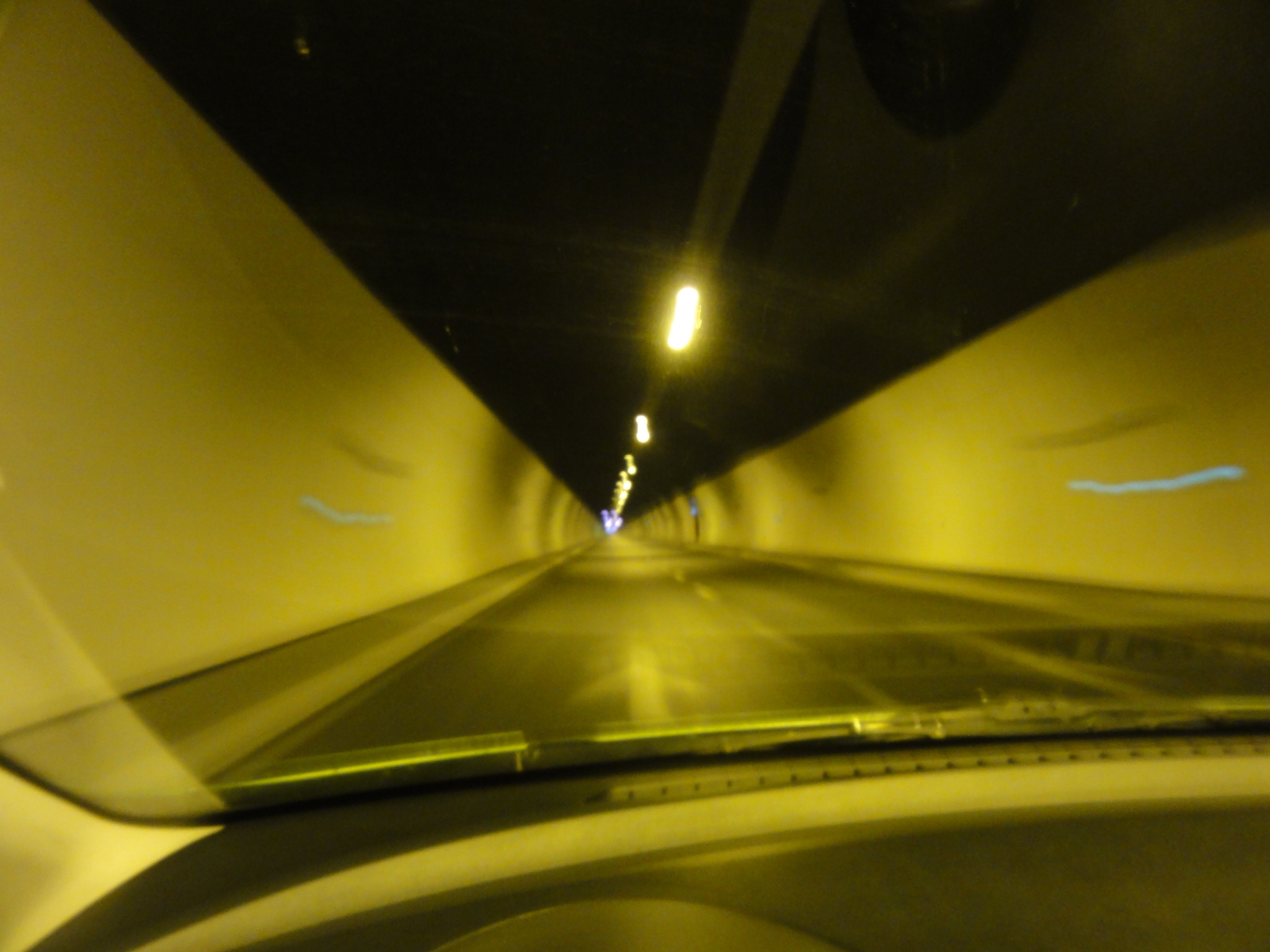 5 Almost to the end of the Carmel tunnels heading East out of Haifa towards Nazareth. Definitely the longest tunnel I have ever driven through. |
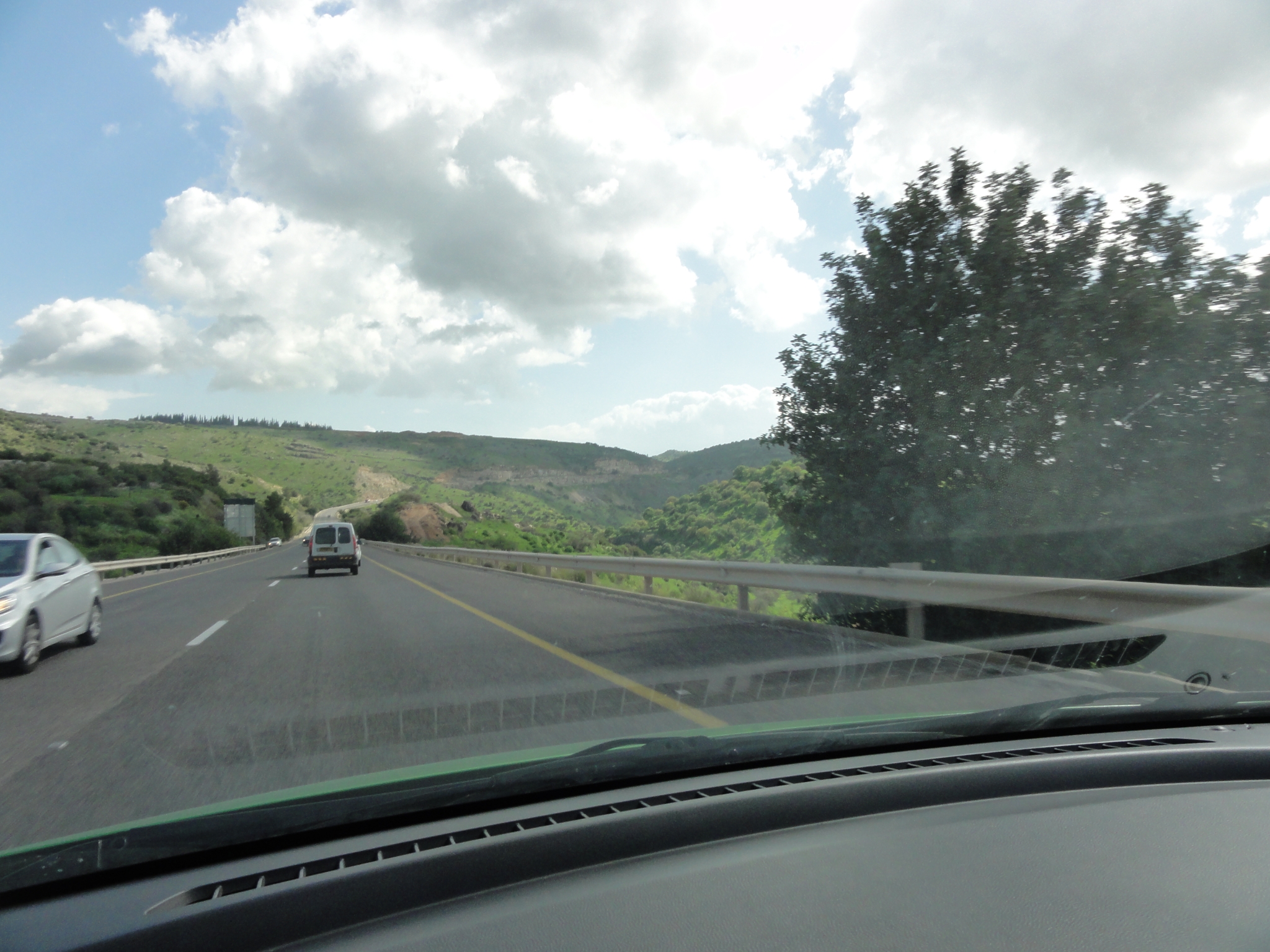 6 Winding my way up into the Golan Heights. This area has traded hands between Syria and Israel multiple times in various battles over the years. It's mostly beautiful green, rolling hills, very sparesly populated. But it is evidently a miliary vantage point because of the elevation. At this point though I am starting to get lost. I wandered around for a while trying to find the trail. It became clear I wasn't going to make it there in time to do the trail I was really hoping to do. |
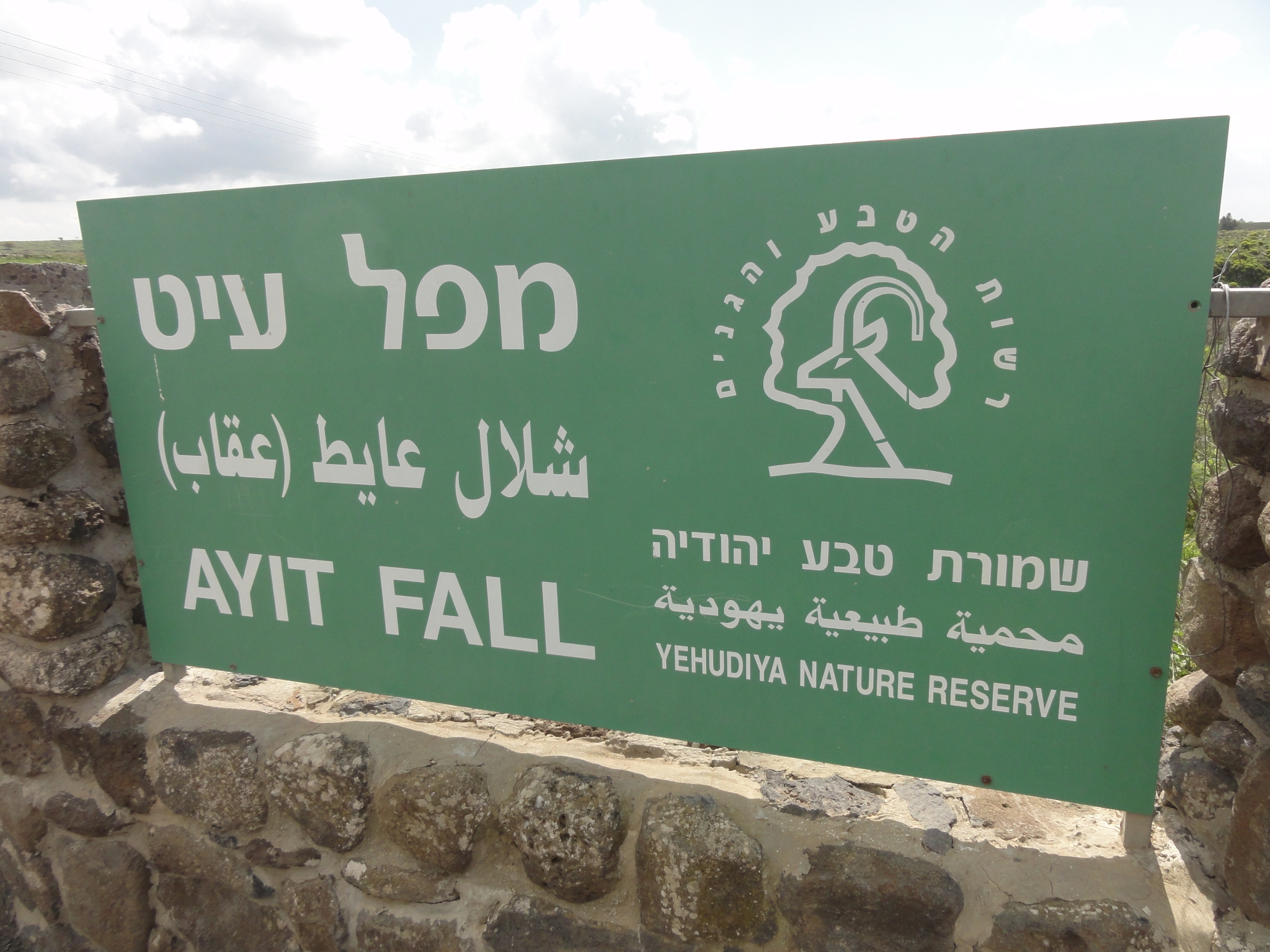 7 After wandering around for a while, the GPS brought me here. Though it is in the Yehudiya Nature Reserve, it is definitely not the Yehudiya trailhead. |
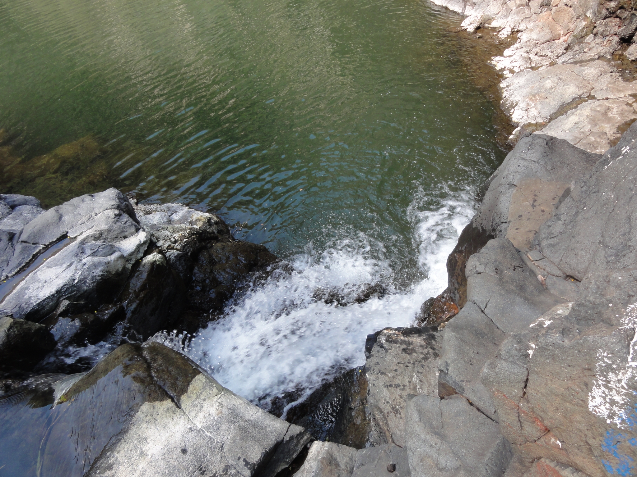
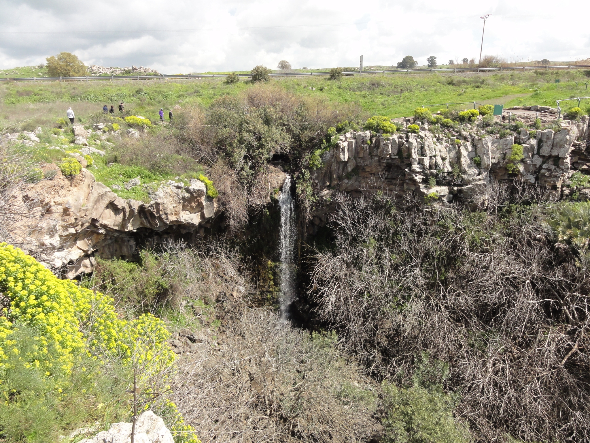 8 It was a lookout spot for a nice waterfall though. |
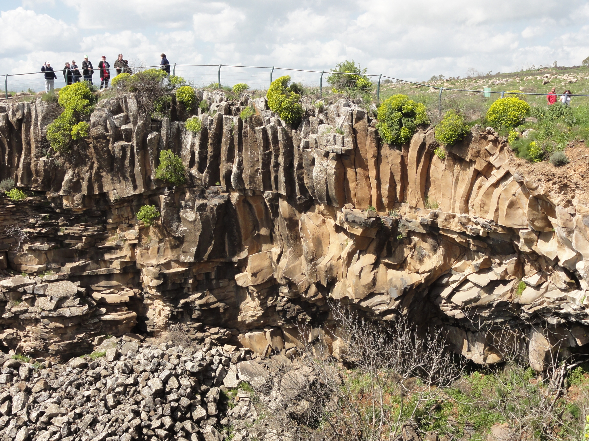
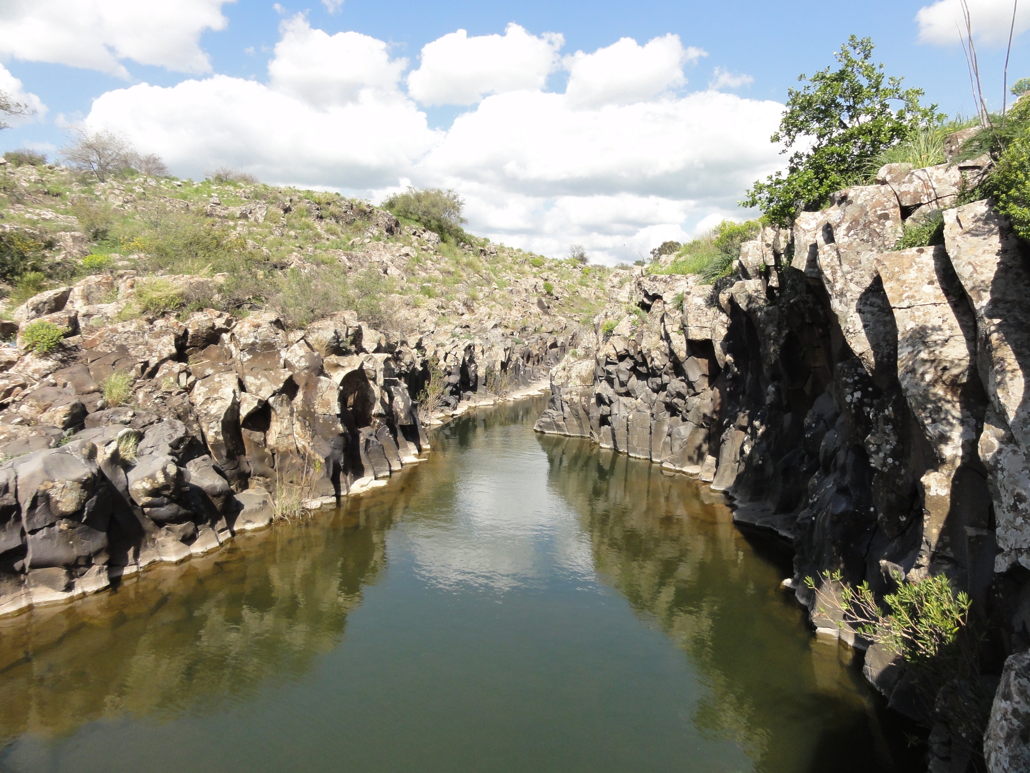
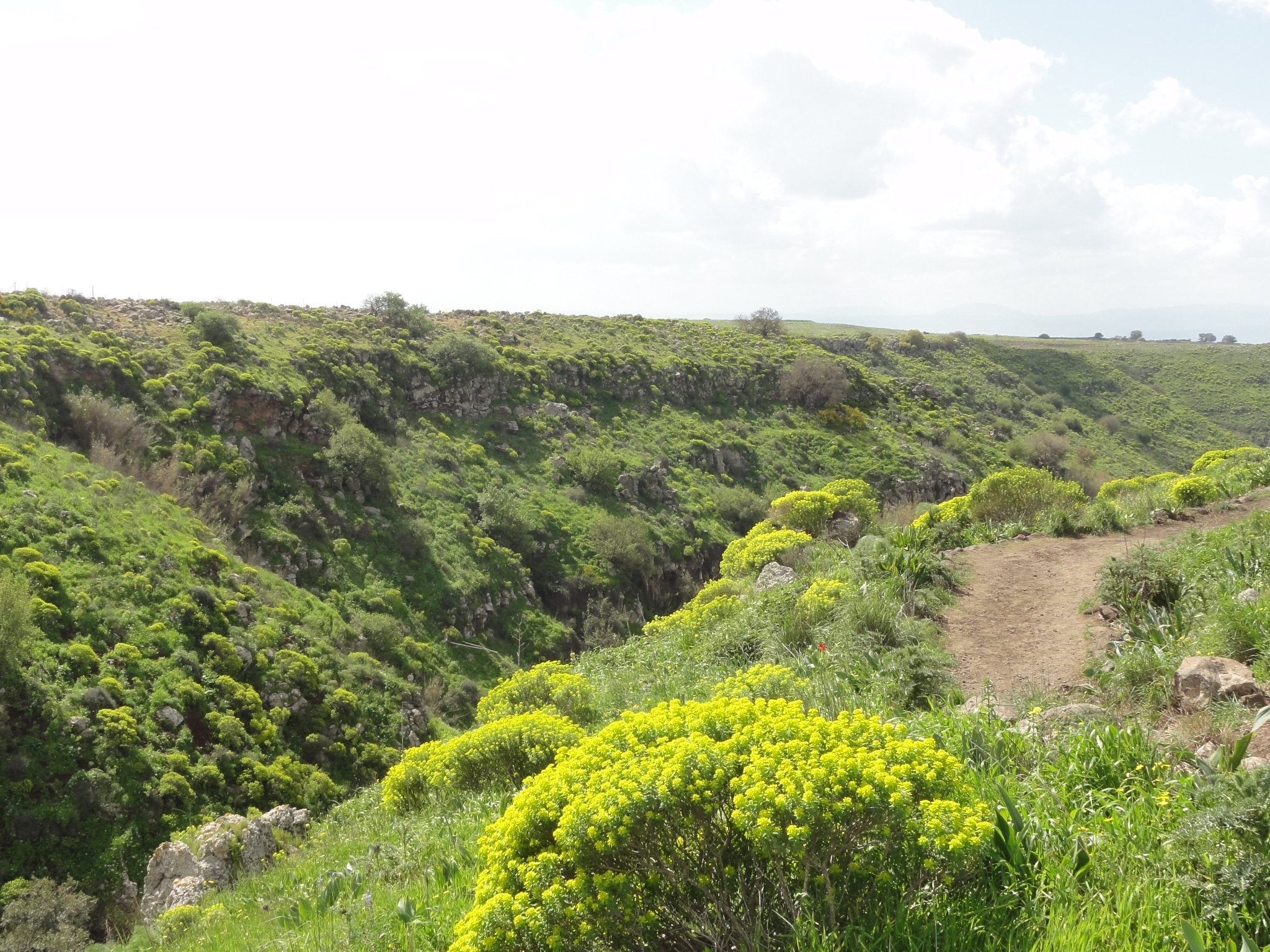 9 A look down the canyon from Avit Fall. |
 10 These basalt columns are very common in the canyons in the area. |
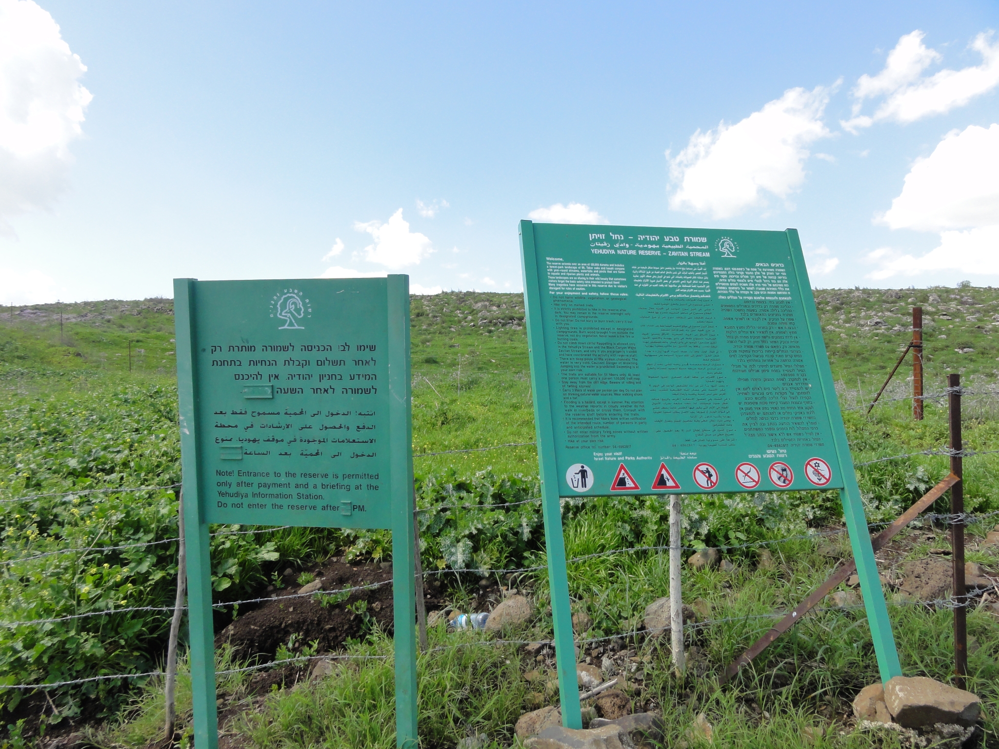
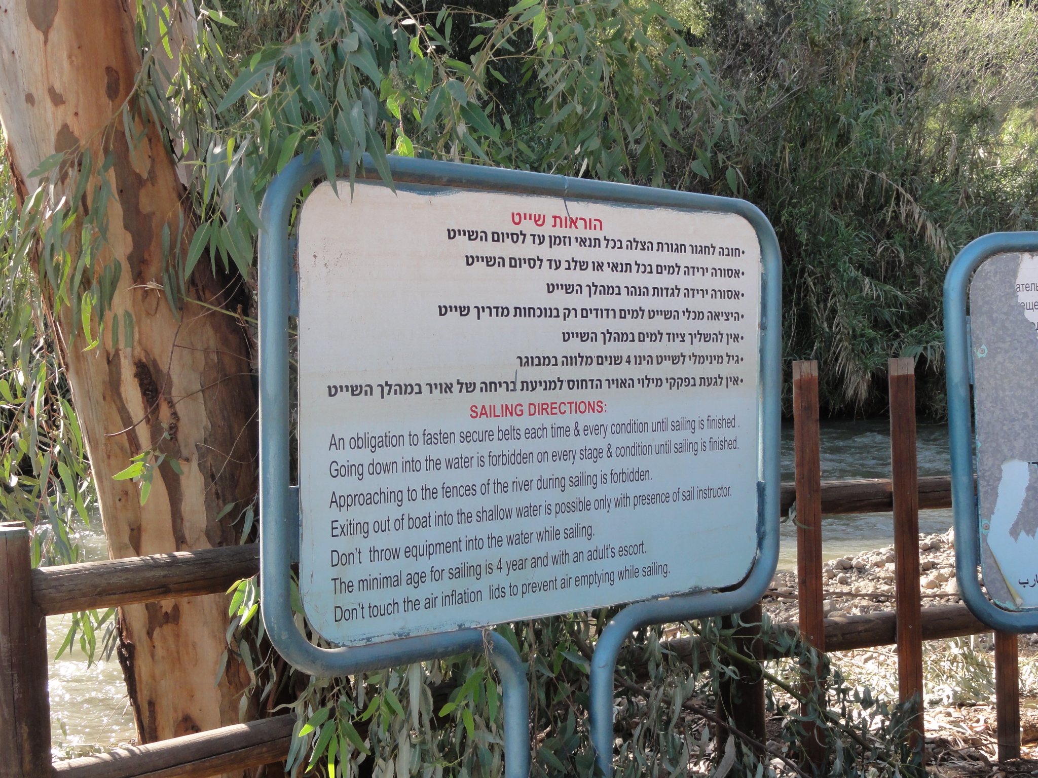
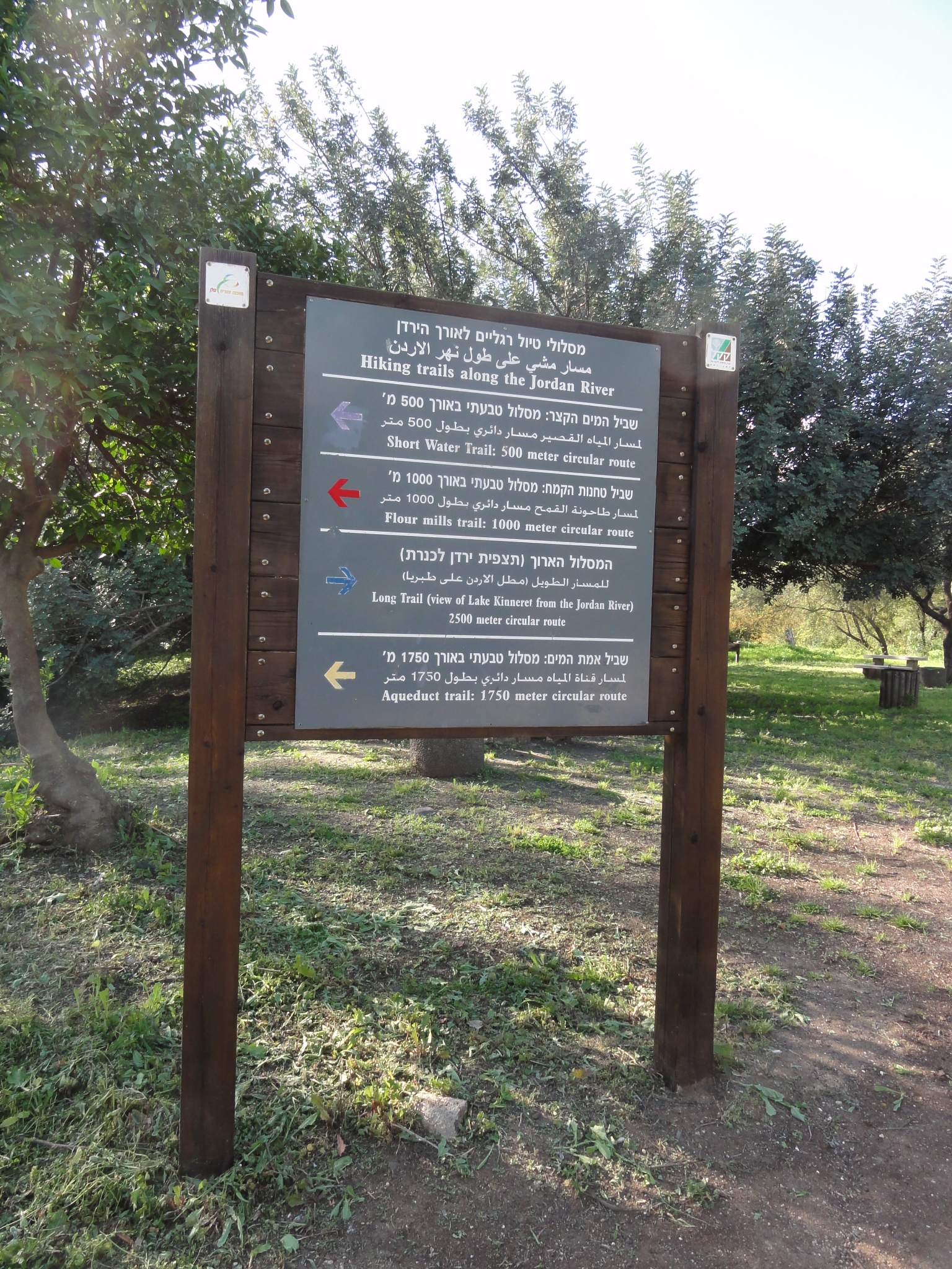
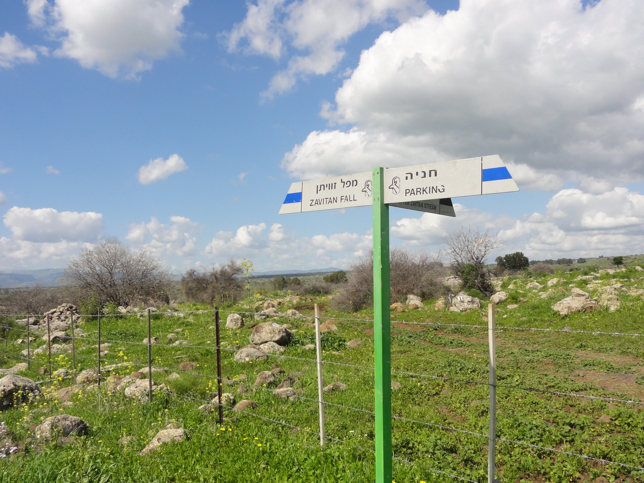 11 Someone at Avit Fall attempted to give me directions (in very broken English) to the Yehuidya trail. I wandered around aimlessly again for a while. Just when I was about to give up, I came across the Yehudia Information Center, which is the entrace to the park and trailhead. It was just after noon at this point, and I knew the trail closed early. I was afraid I would be too late, and I was right. They said "too late for the Yehudia trail, everyone must be off the trails by 3:00pm". I said "I move pretty fast". They said "NO!". I said "what happens if you're not off the trail by 3:00". They said "800 shekel ($200) fine". And the trail guide indicated that some of the trails in the area close at certain times for "live fire exercises" since there is an active military base in the area. Not wanting to mess with the Israeli commandos, I decided to do the only trail they would let me do, which was the Zavitan Fall trail. |
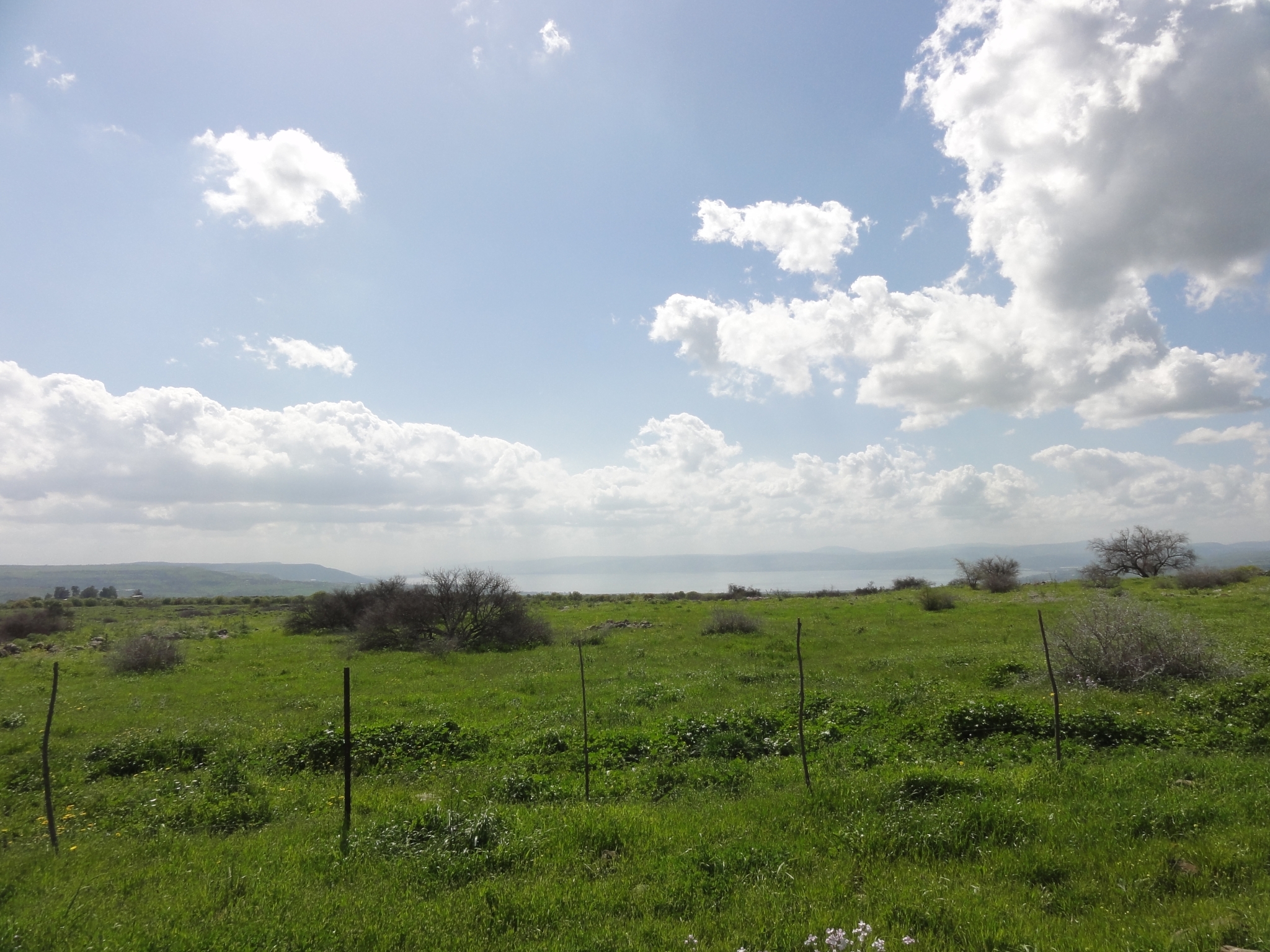
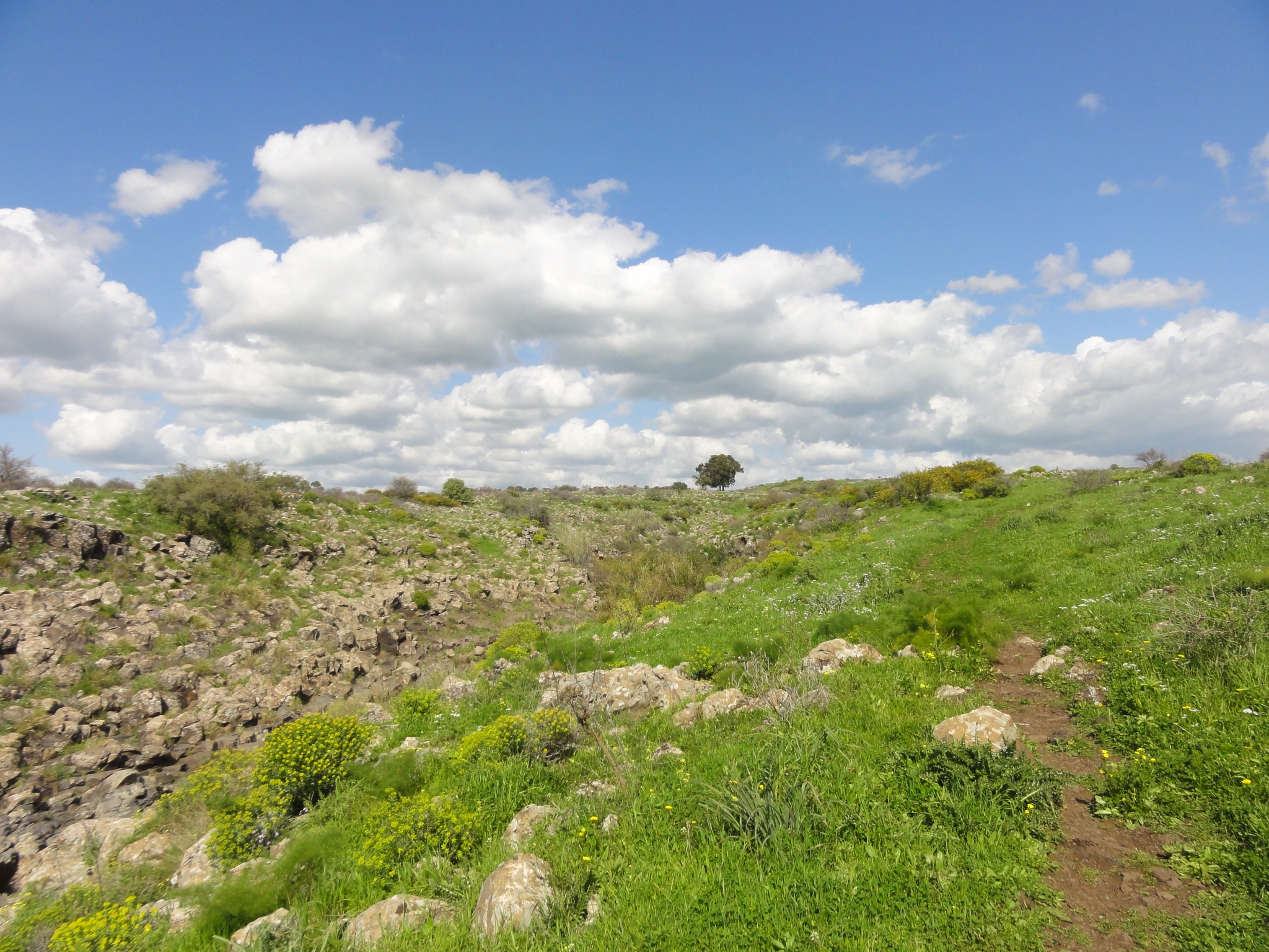
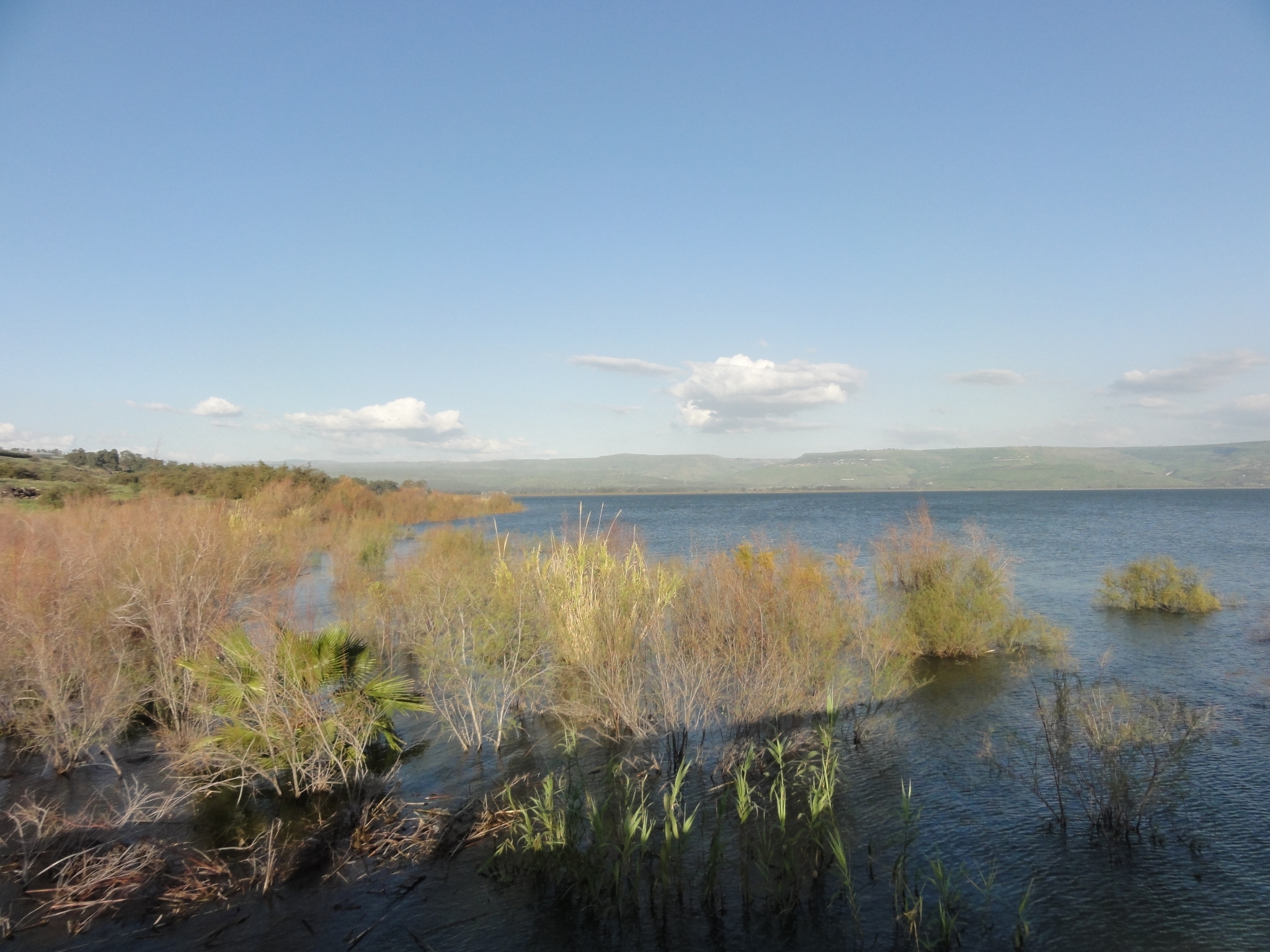
 12 Good thing these trail signs are also in English. Unlike some other languages, there is no guessing at meaning in either Hebrew or Arabic! |
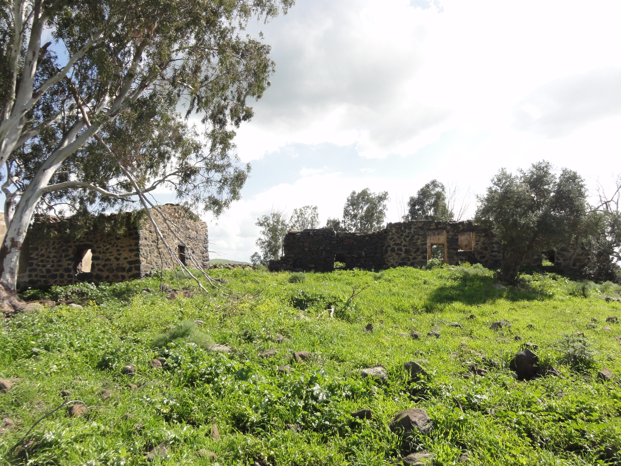
 13 Starting out on the trail with the Sea of Galilee in the distance. |
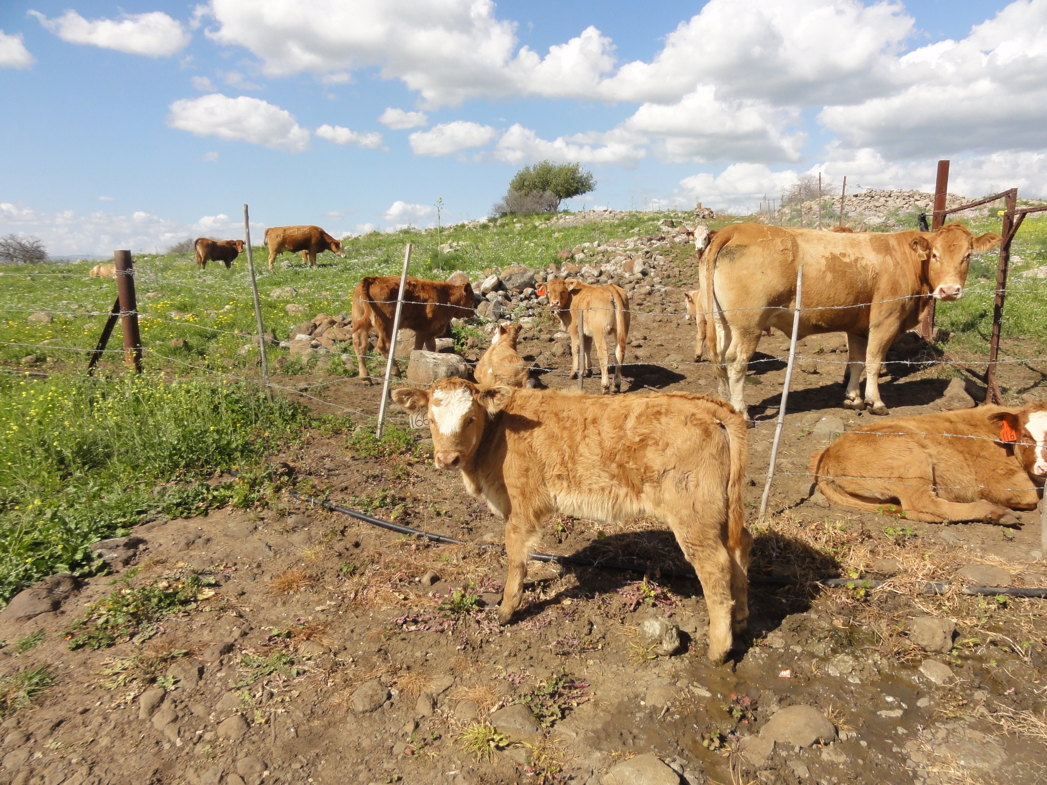
 14 Remnants of an old Syrian village. According to the trail guide, it was destroyed years ago in one of the battles in the area. |
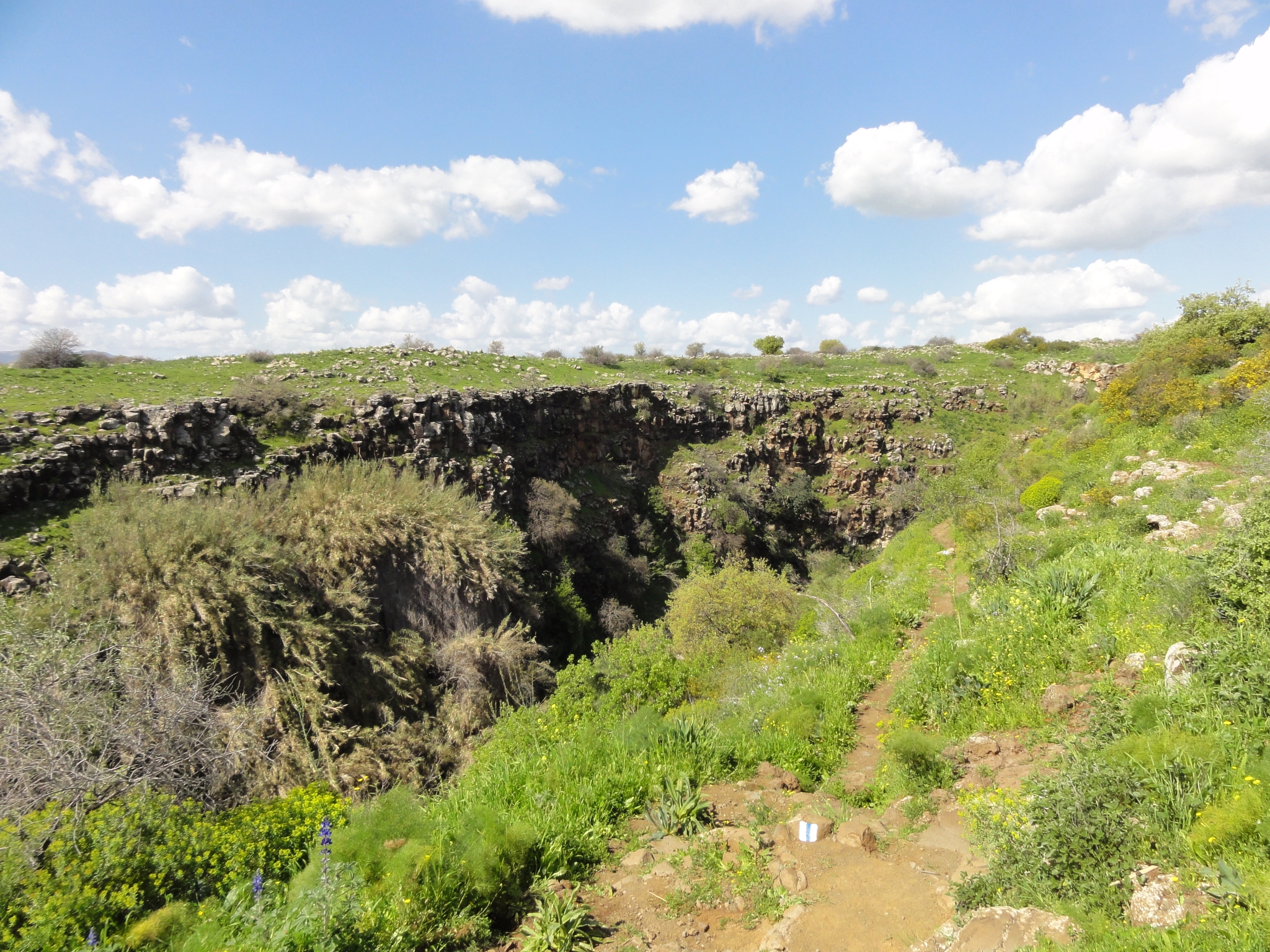
 15 Some cows chillin' alongside the trail. This one got loose outside the fencing somehow. I hope it's able to get back in. |
 16 At the rim of the canyon that holds Zavitan Fall. |
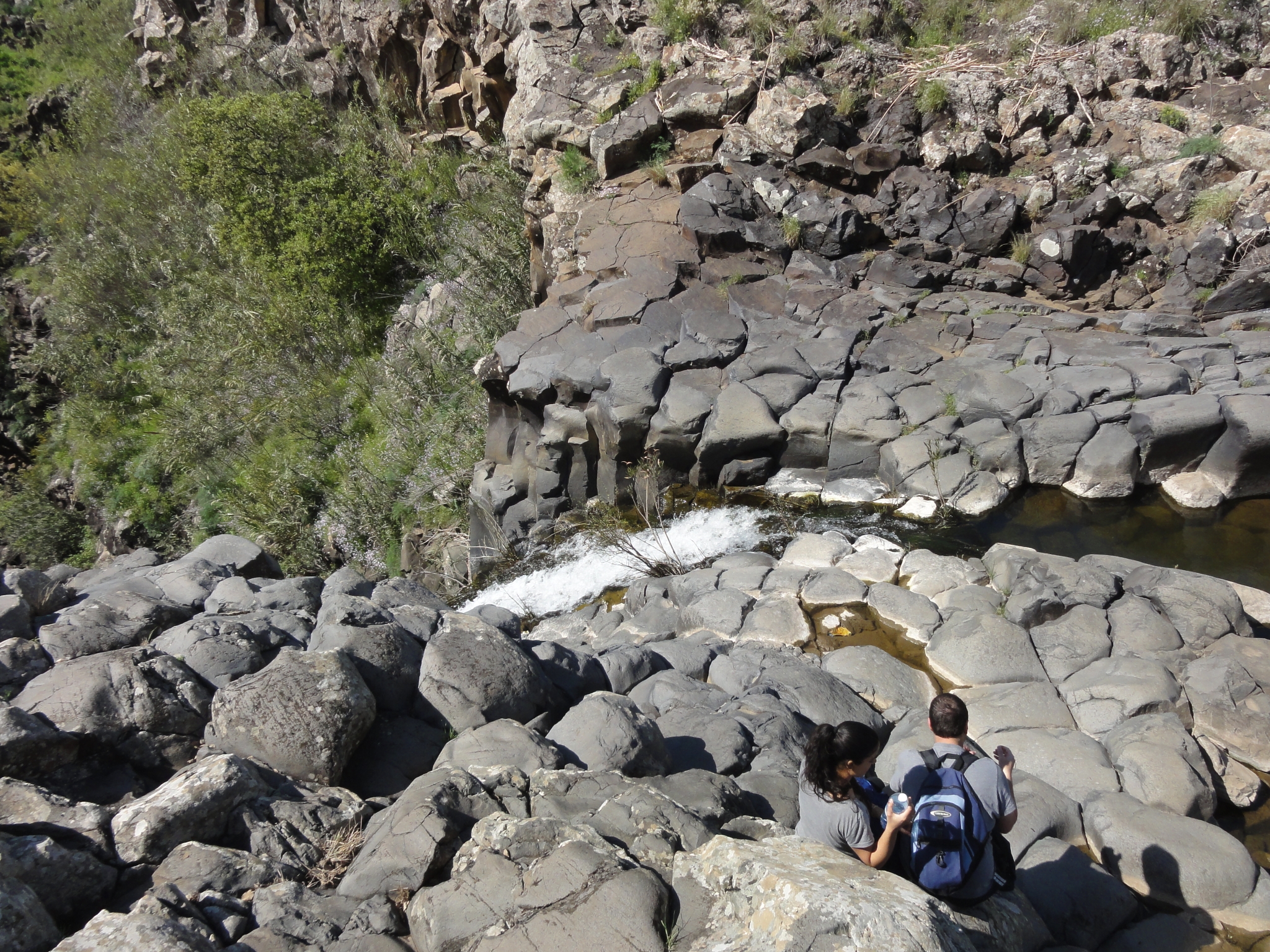
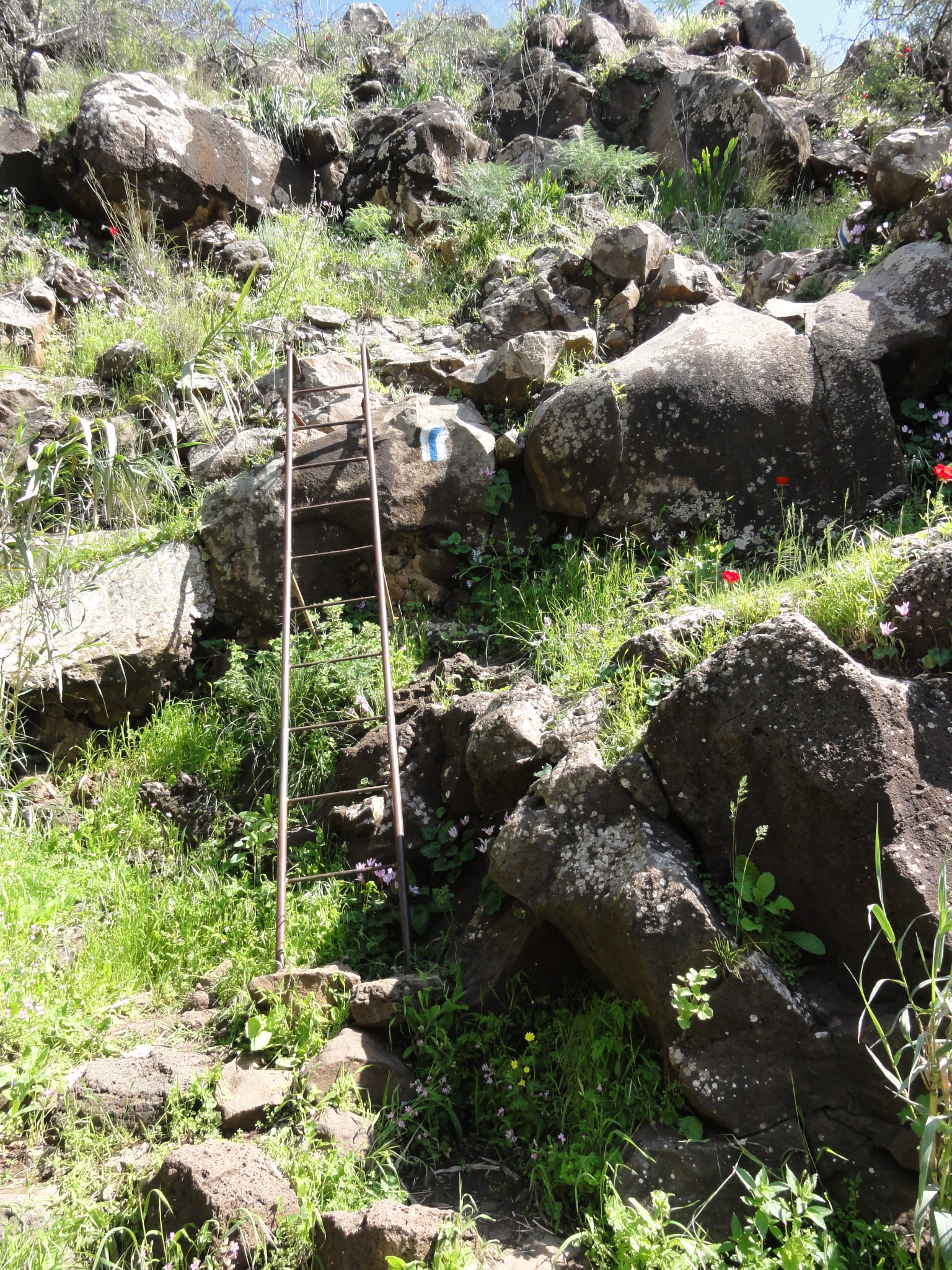 17 The trail coming down into the canyon. These ladders are pretty common on Israeli trails. Notice also the white and blue striped trail marker. These painted markers are used on the trail system throughout Israel. The color and direction indicate what type of trail you are on as well as turns and junctions. |
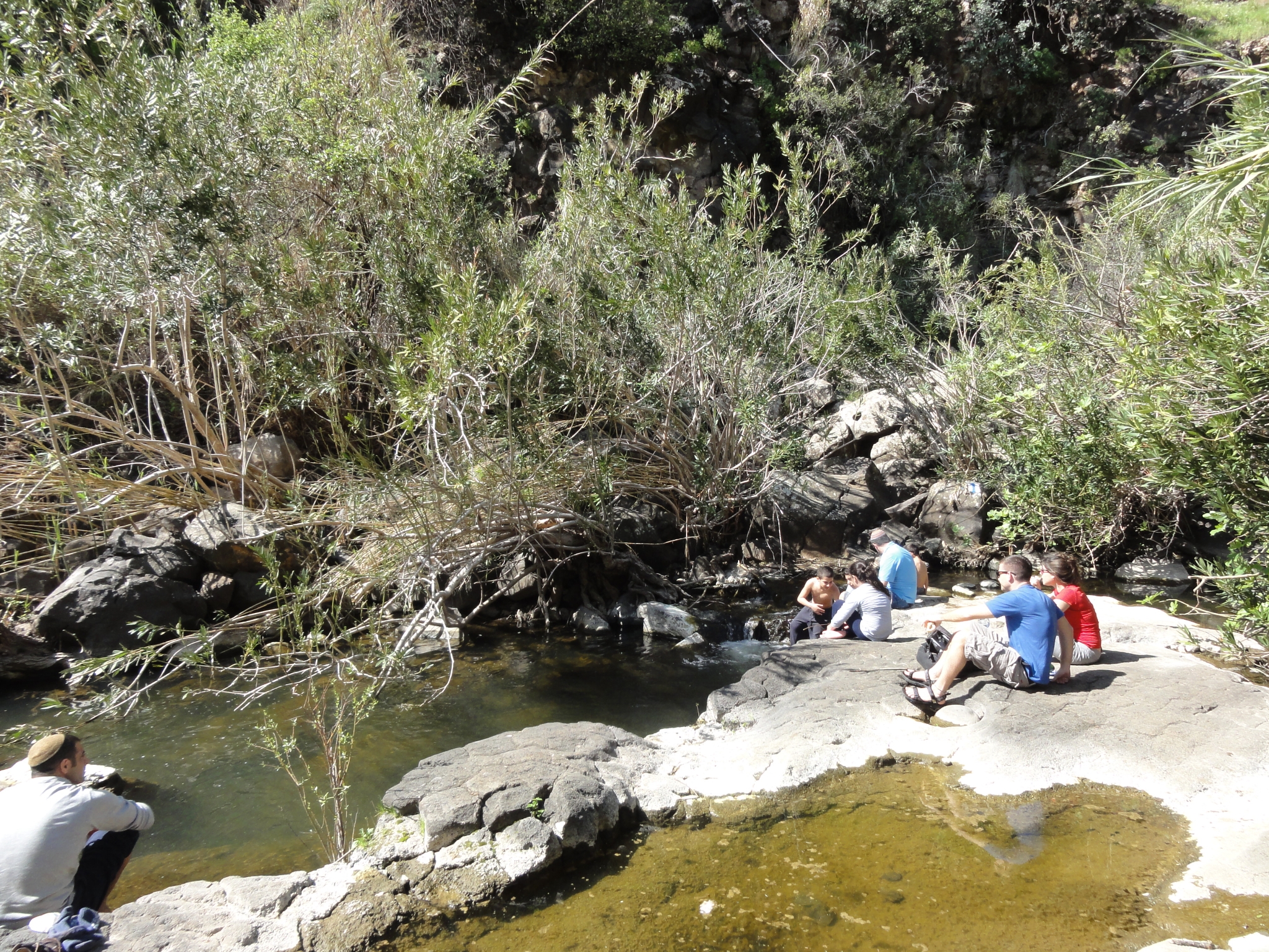 18 The pools at the base of the canyon. |
 19 You can scramble along the rocks out towards the base of the falls. |
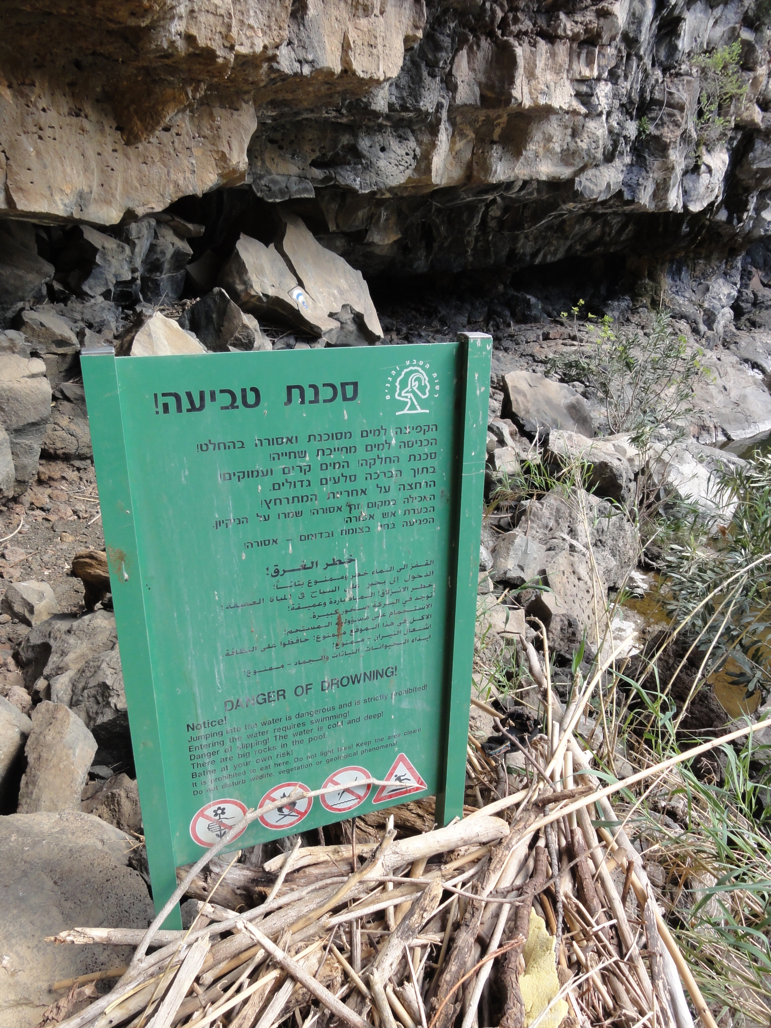
 20 Continuing to scramble. |
 21 You're going to take a cold bath if you slip here. |
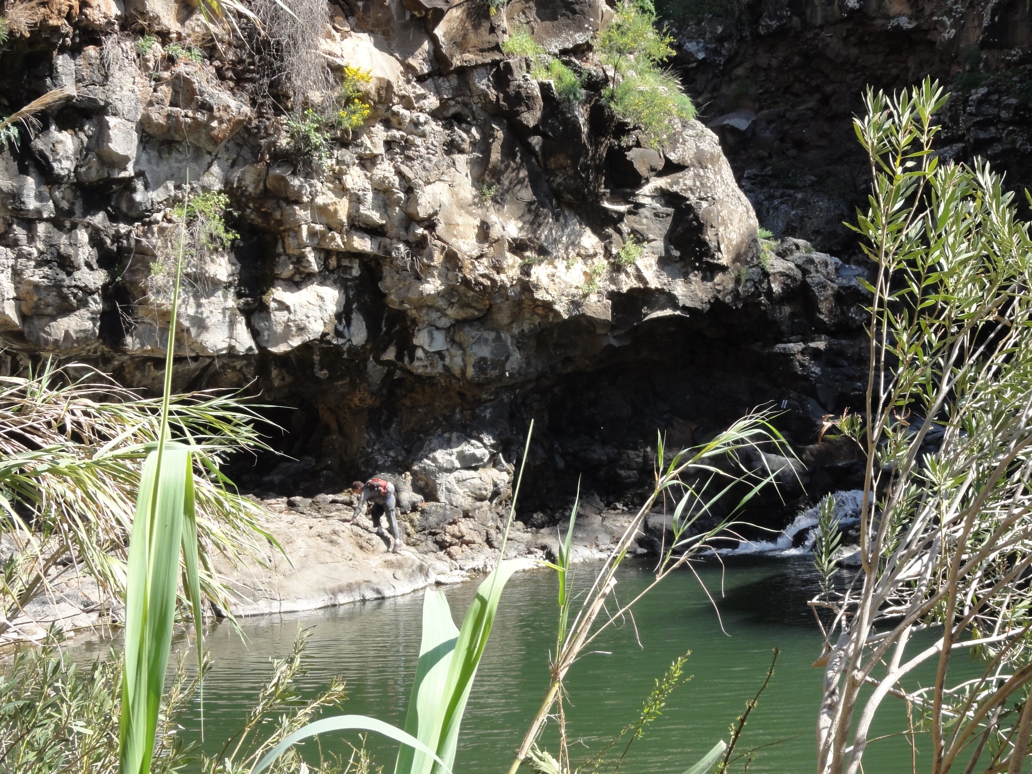
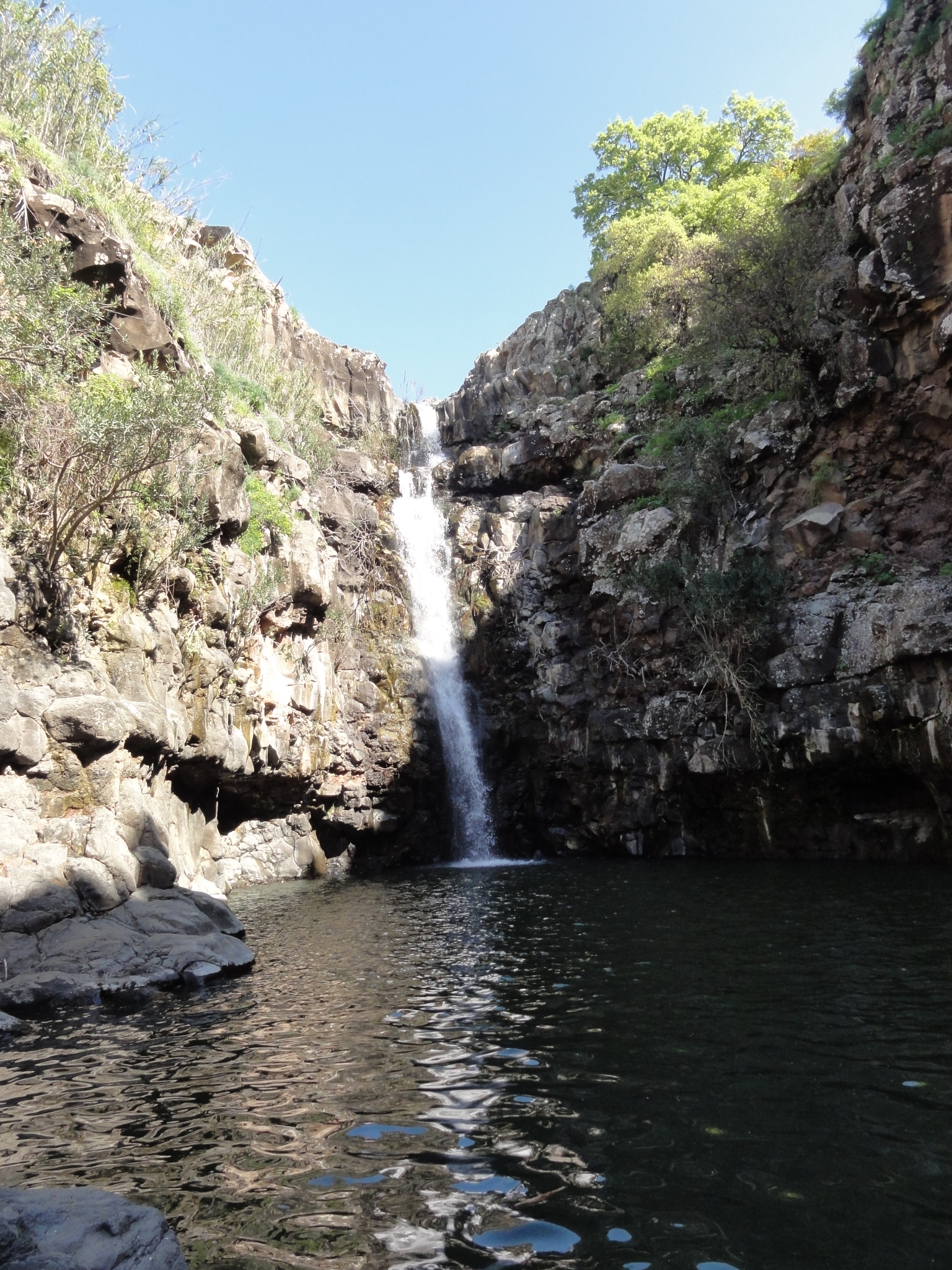
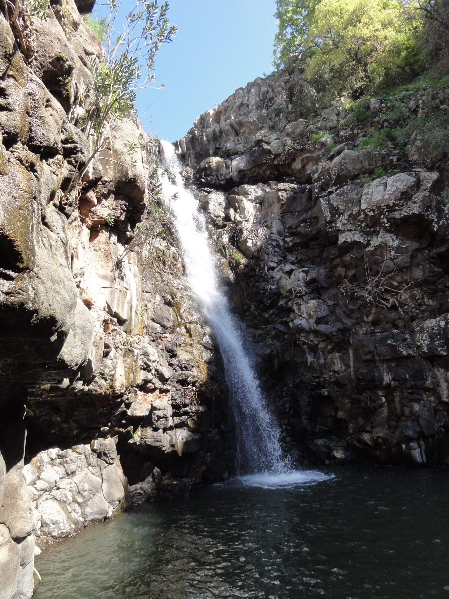
 22 I guess this is the Hebrew equivalent of the "slip and you will die" sign. |
 23 Made it into the alcove of Zevitan Fall. It's a double waterfall of pretty good size. I'm the only one here at the moment and it's an amazing spot. |
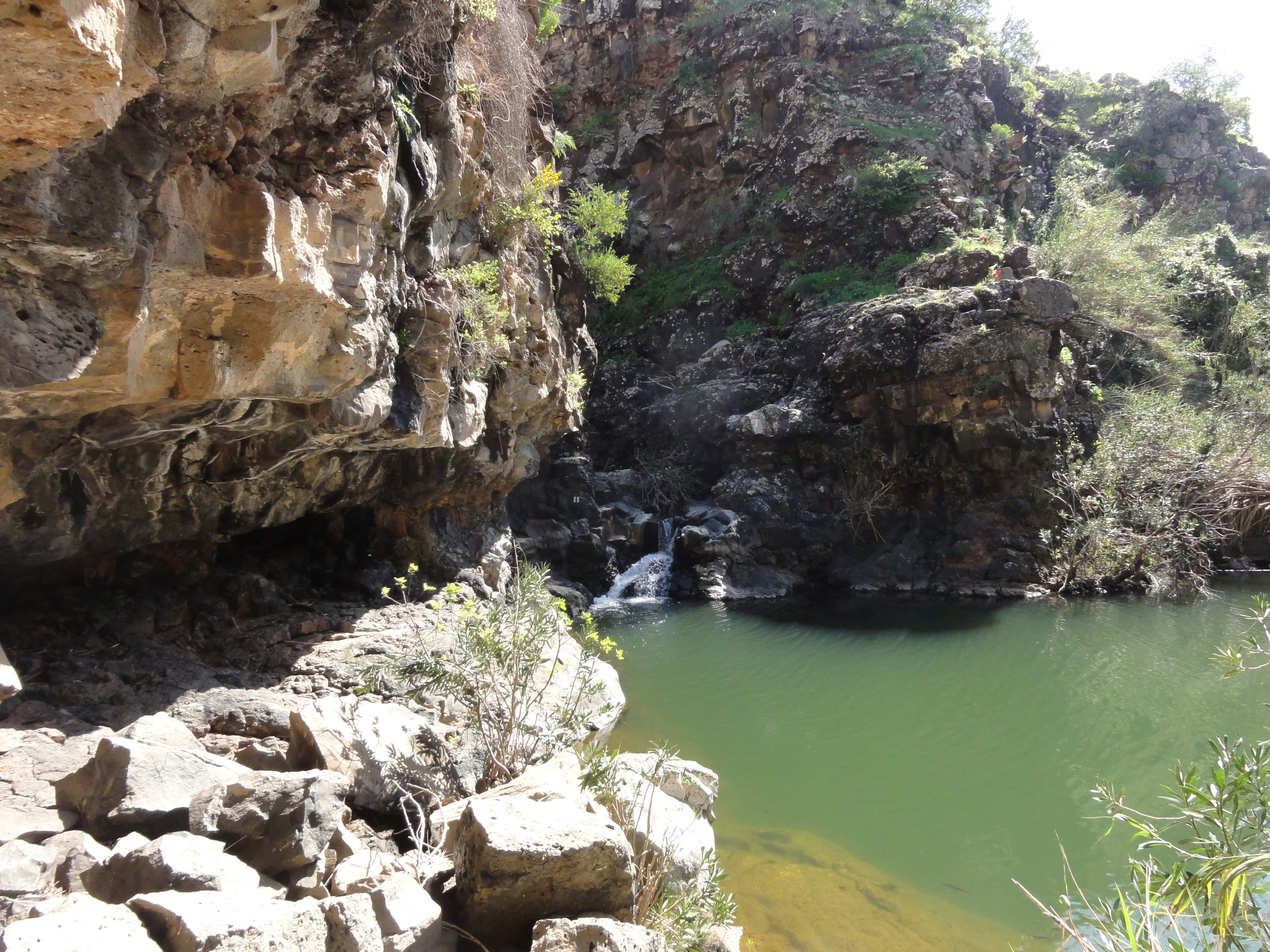
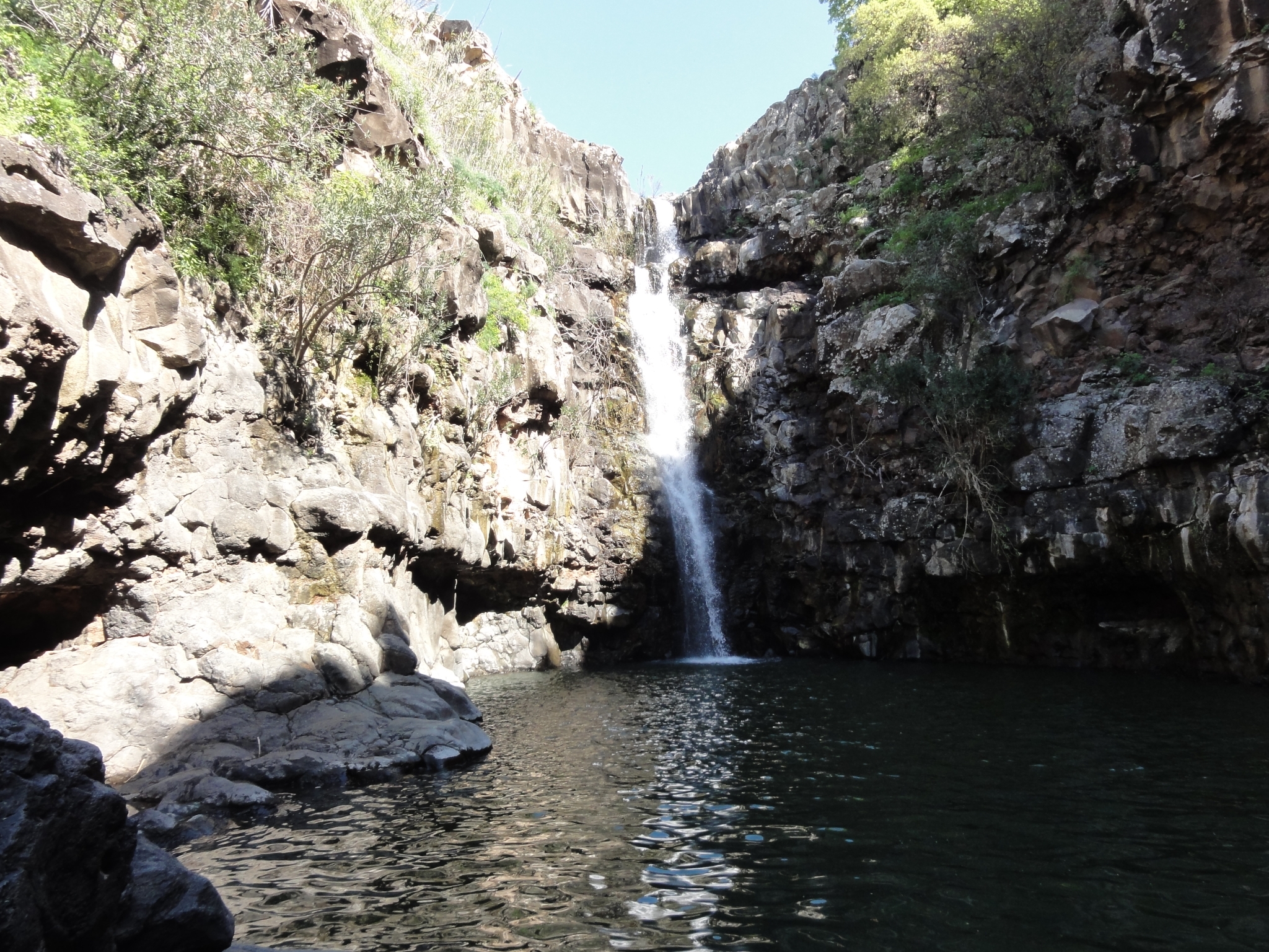 24 Scramblling a little bit closer. |
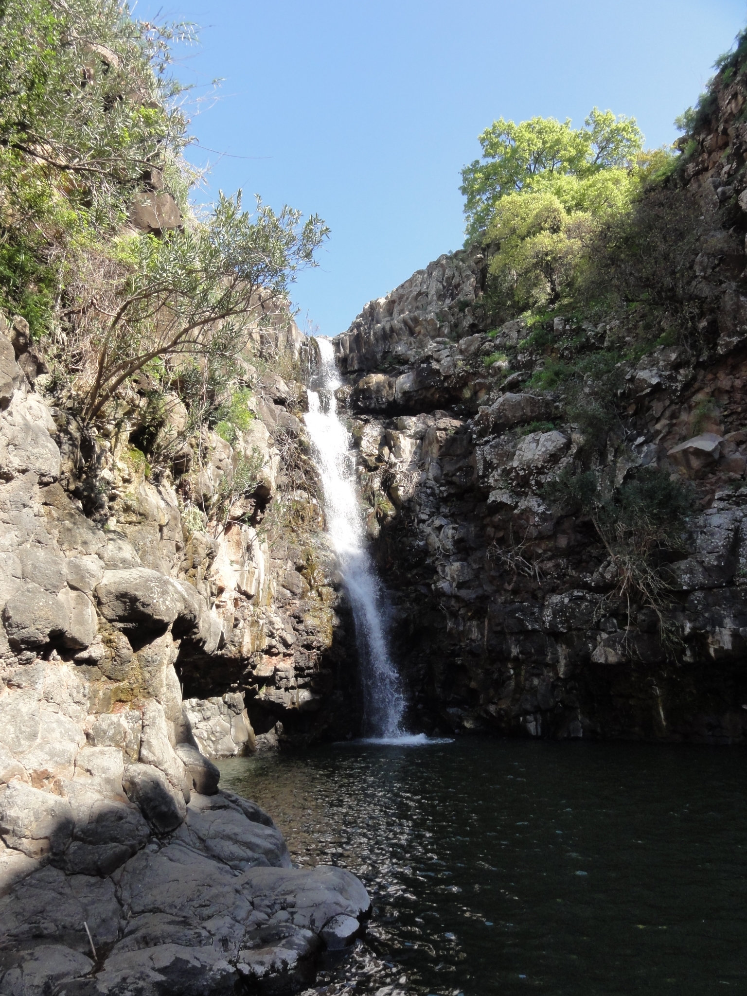 25 And closer. |
 26 And about as close as I can get. |
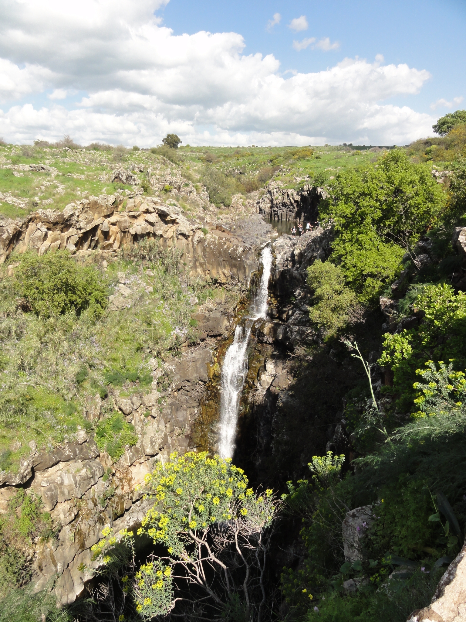 27 After spending some time at the base of the fall, I climbed back out of the canyon and took a trail out towards the top of the falls. Another great view. |
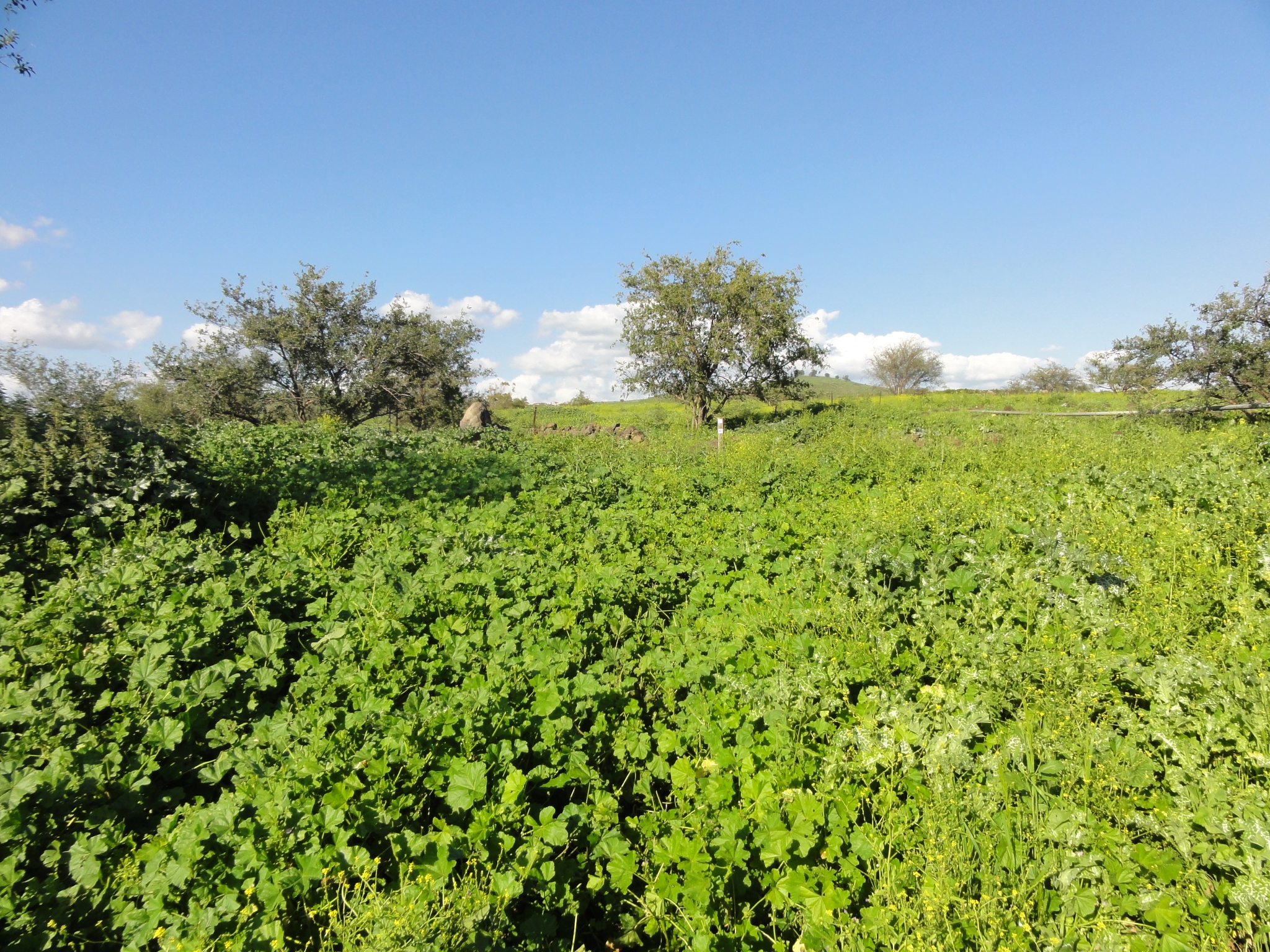
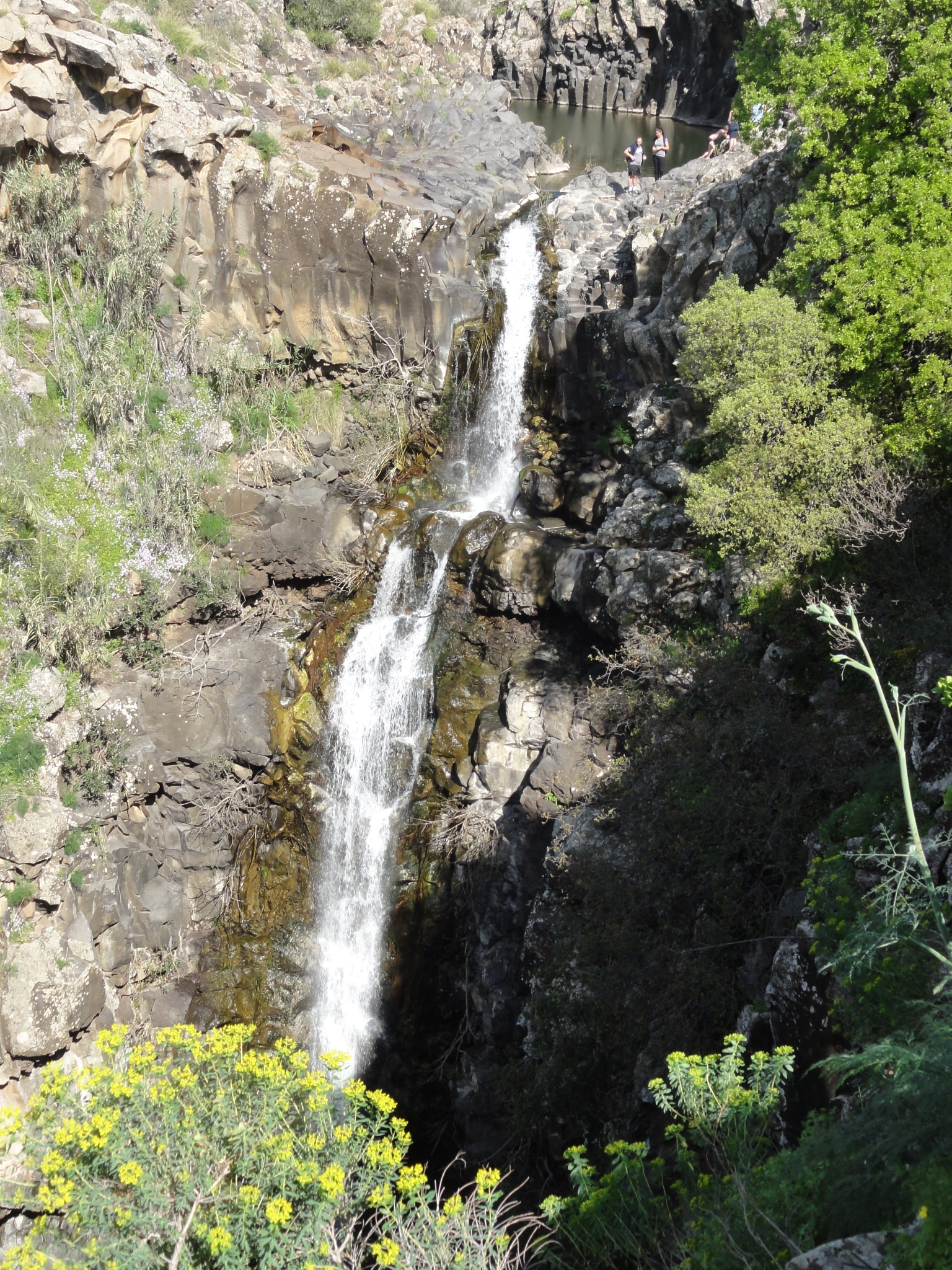 28 A zoomed in shot. |
 29 The trail along the canyon ridge. Flat but nice and green. |
 30 The top of Zevitan Fall. |
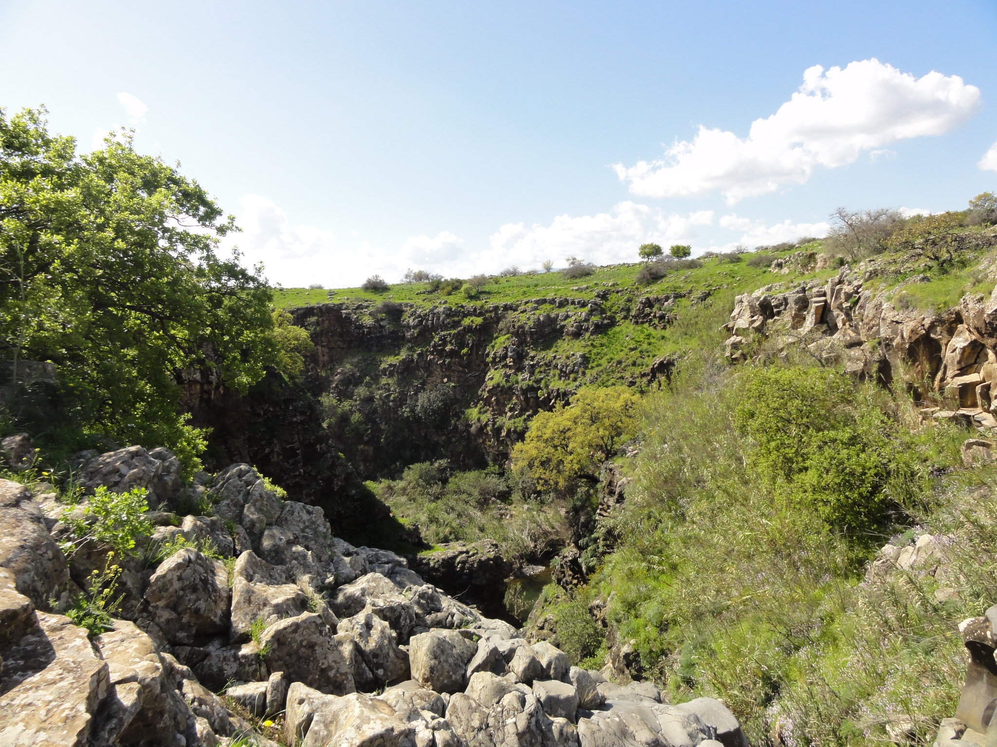
 31 A look upstream on Nahal Zevitan. |
 32 A look down the canyon. |
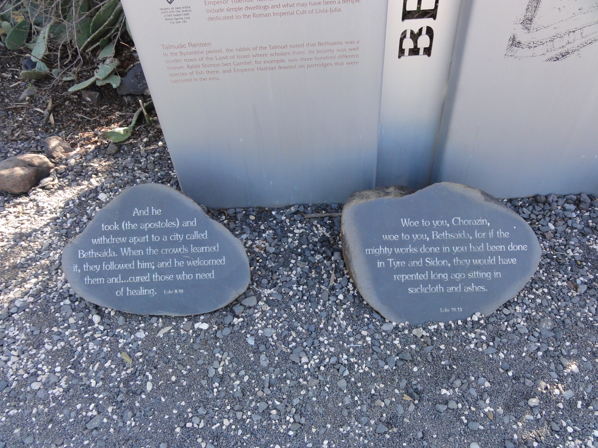 33 I finished the Zevitan Fall run pretty quick, so I thought I would head down the highway towards the Sea of Galilee. It looked gorgeous from above and I wanted to get down to sea level. Actually, the Sea of Galilee is about 700 feet below sea level! I had pretty much no clue where I was going but knew there were supposed to be some short trails around Bethesda at the base of the Jordan River. I eventually found my way there, and arrived at Bethesda (Bethsaida). This is where the apostles were born and where, according to tradition, Jesus healed a blind man. |
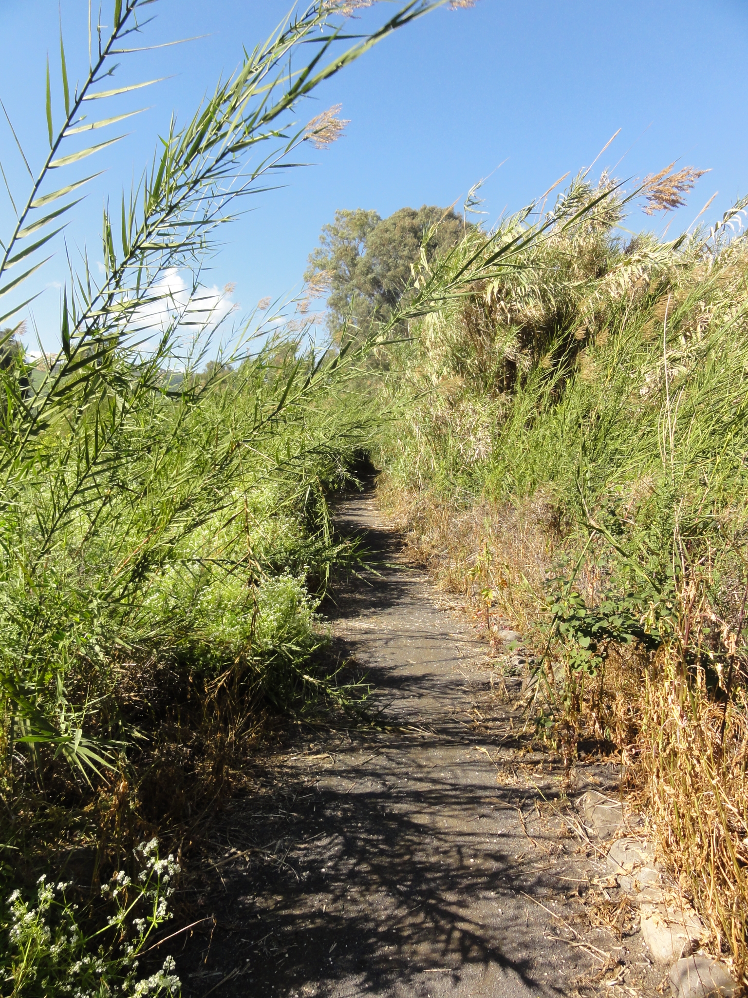
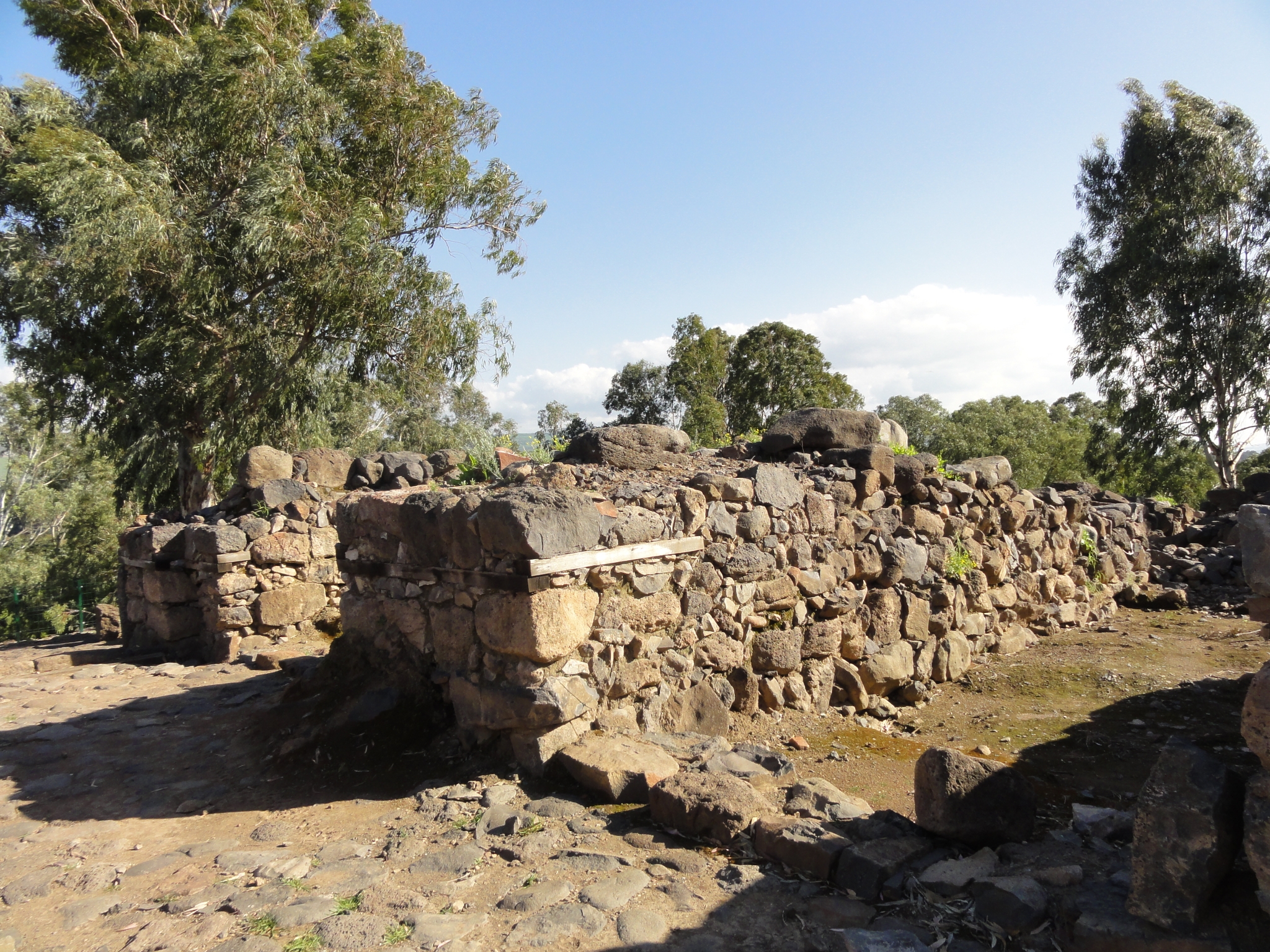 34 The remains of a building at the top of Bethaisda Mount (hill), 2000+ years old. Aside from a couple signs, the area is not protected in any way. Amazing for a site of such archaeological significance. |
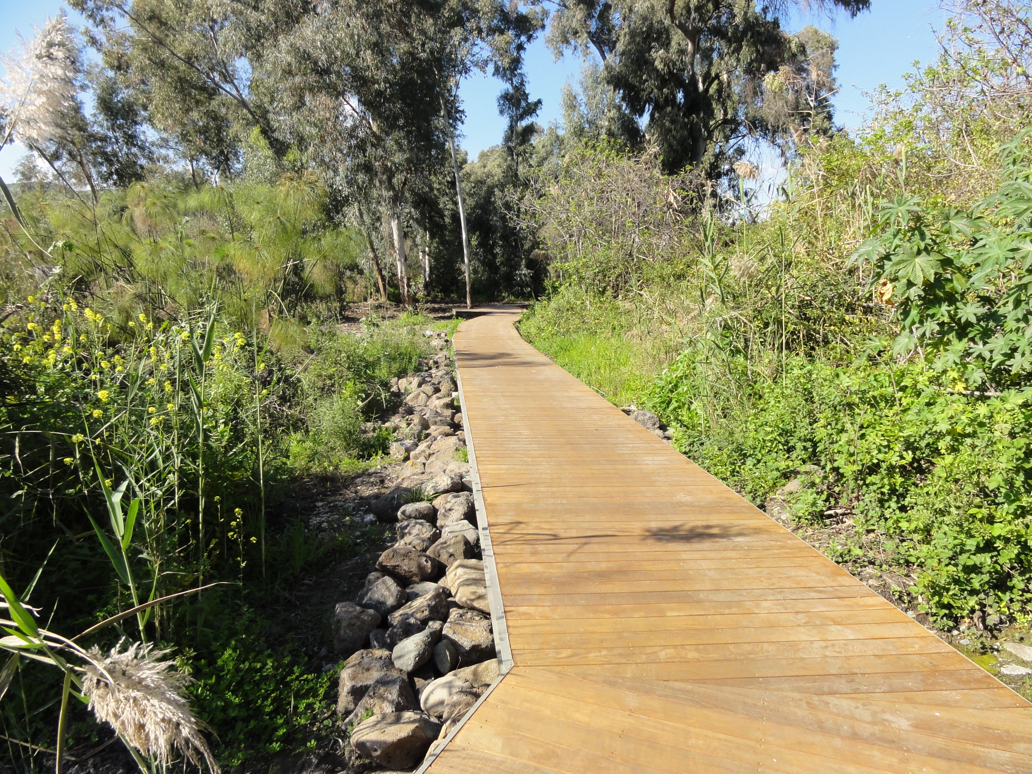
 35 Heading down the trail from Bethaisda Mount towards the Jordan River. |
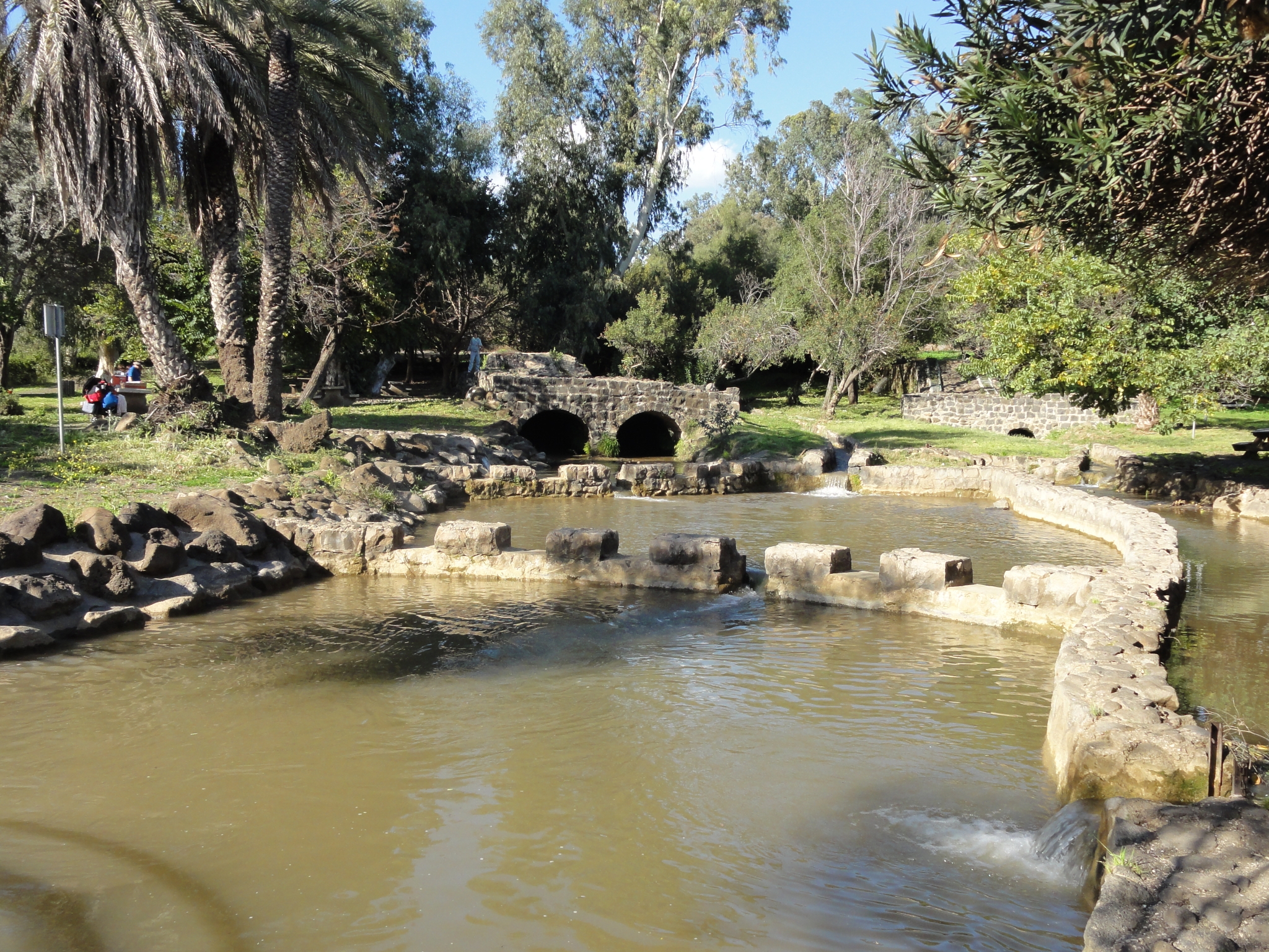
 36 Walkway over the marshes. |
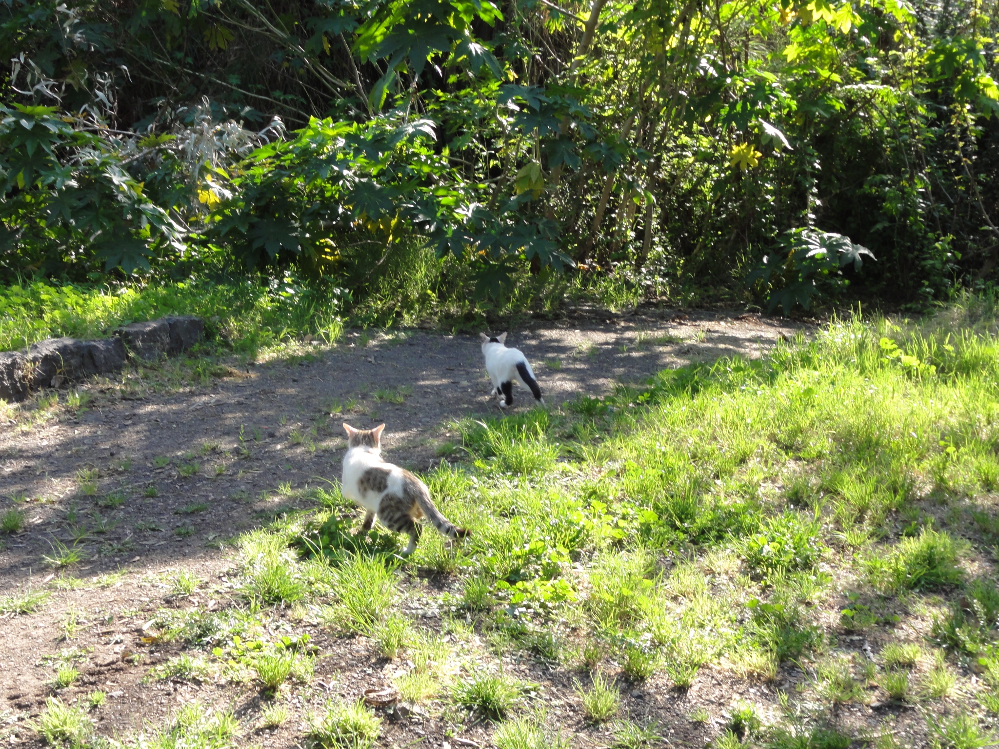
 37 Made it down to the recreation area at the river. You can go kayaking on the Jordan River here. |
 38 Where you would expect to see squirrels, there are stray cats. |
 39 The Jordan River recreation area. Evidently a popular swimming spot in the summer. |
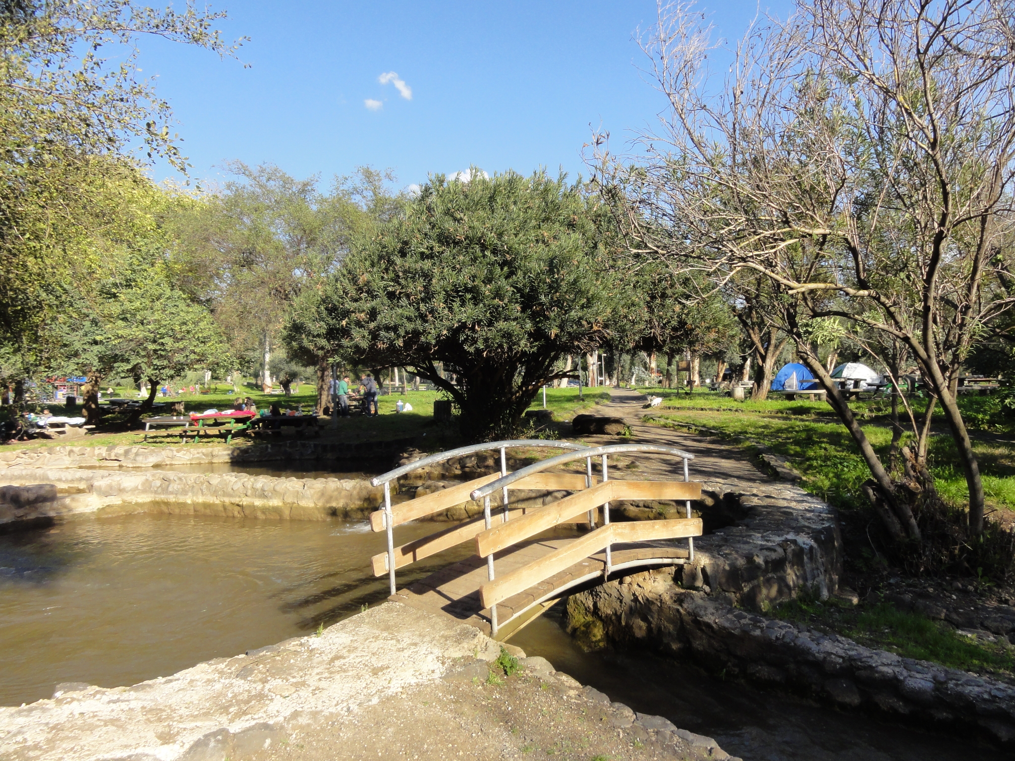 40 The campground at the recreation area. |
 41 I decided to take the Long Trail, which wasn't very long at all, but was fun. |
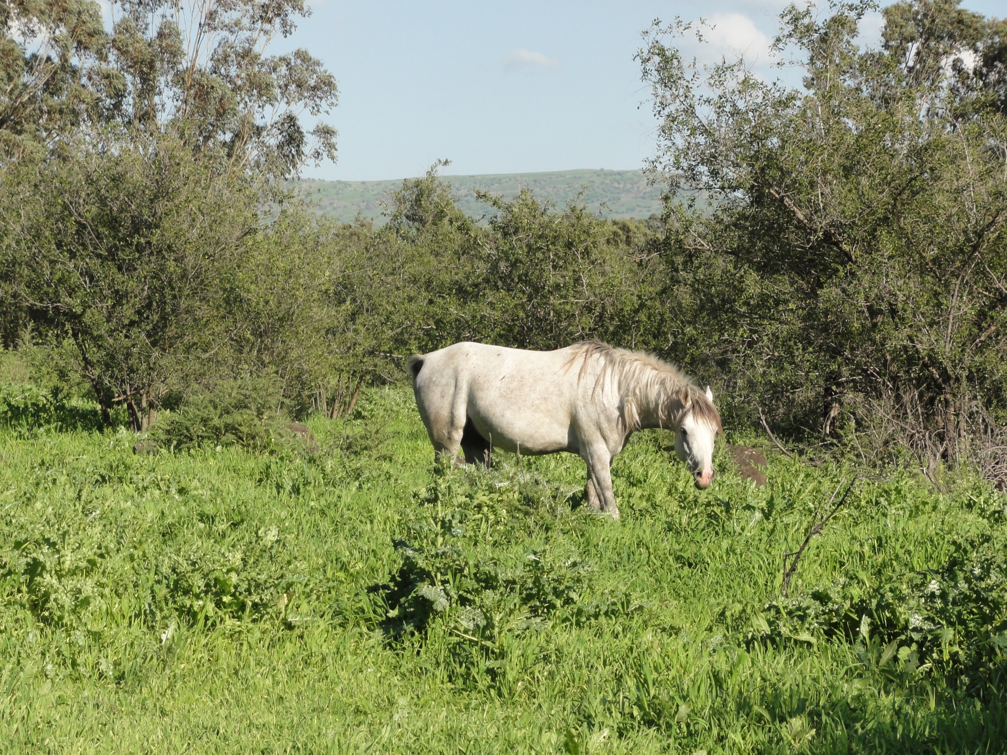
 42 This is the "trail". Almost entirely un-maintained. I just kept heading for the trail markers when I saw them. Wandering through this type of trail is tough enough back home. But the concern of getting delayed or lost in Israel, when I had a plane flight that night, and the airport was still a 3-4 hour drive away, definitely added some tension. |
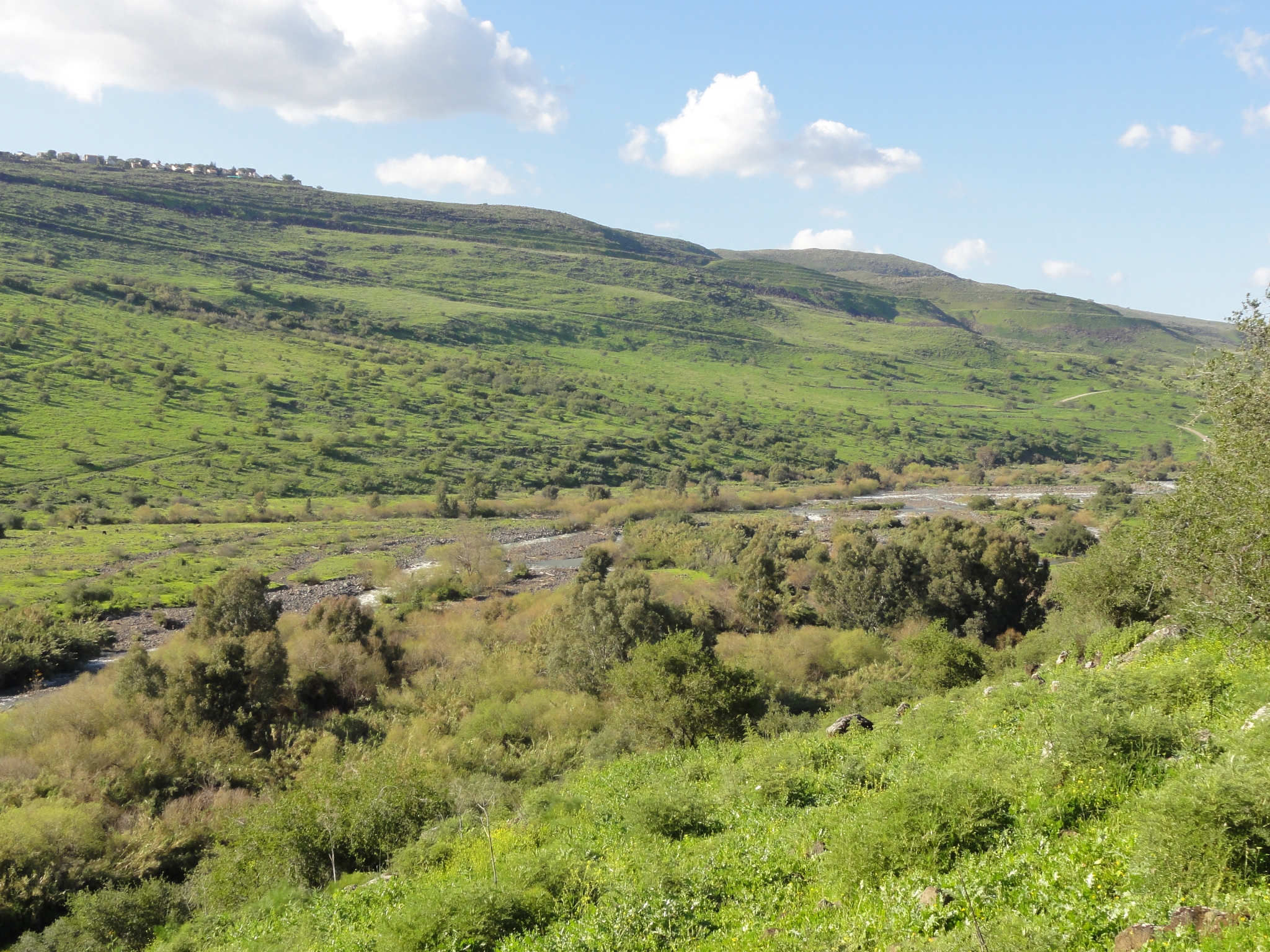
 43 A random horse hanging out alongside the trail. No fencing between me and the horse. I can't say I've come across that when trail running before. I'm beginning to fear that the trail I'm following was just made by him. |
 44 A look down at the Jordan River just before it empties into the Sea of Galilee. |
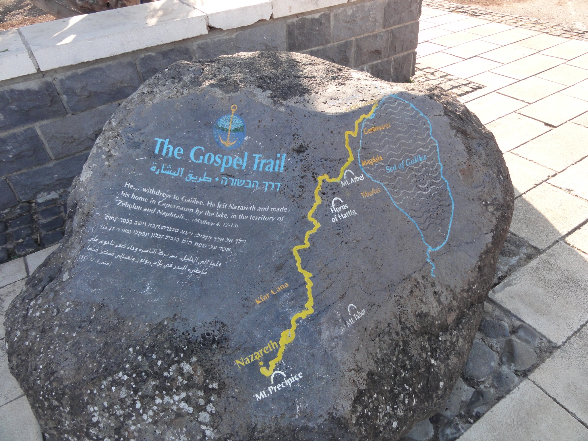
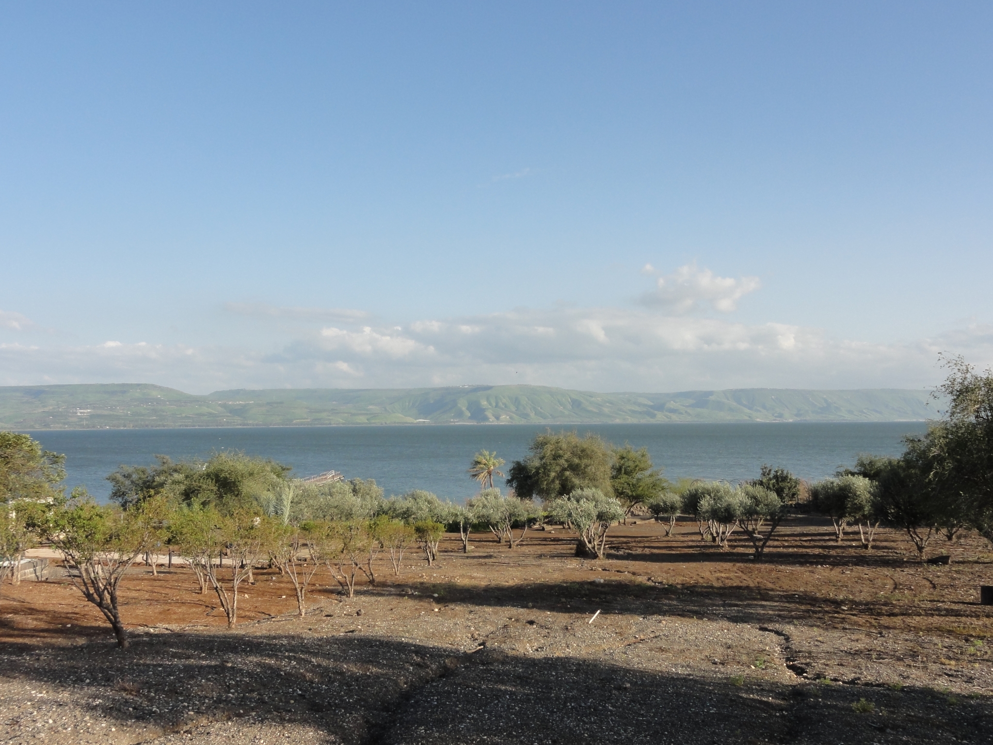 45 After finishing the trail at the Jordan River, I hop back into the car and am determined to get right down to the shoreline of the Sea of Galilee. After a couple failed attempts, I end-up at Capernaum. As with most of the stops I made, I had no idea about its significance until I ended-up there and read about it. Jesus lived and fished here. This is where he appeared to have walked on water and not far from where he gave the "sermon on the mount". Pretty cool. |
 46 The trail that Jesus took from Nazareth to this very spot. |
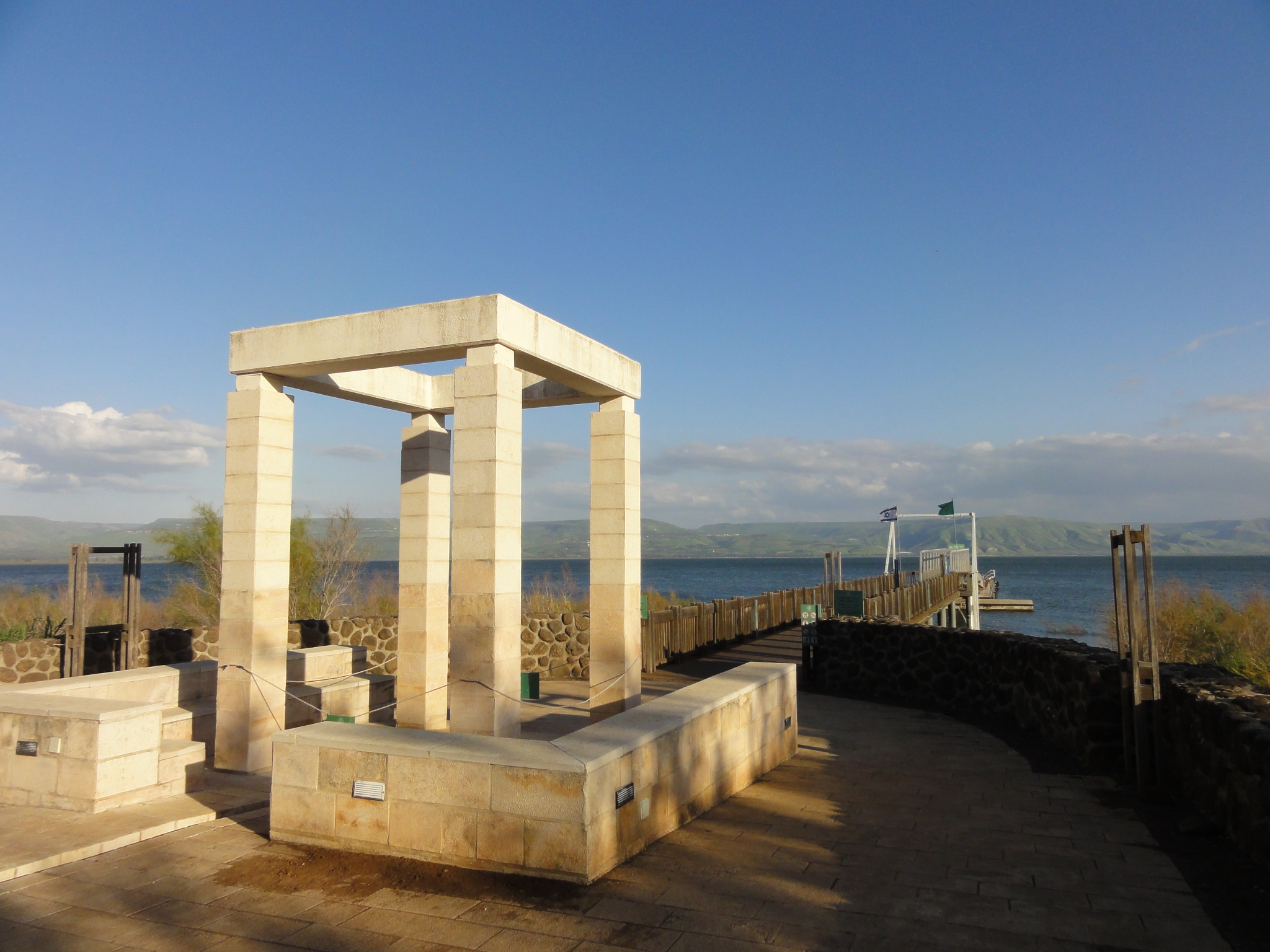 47 There's a visitor center here of some sort. It's already closed and since it's late in the day on Friday (the sabbat), there is absolutely nobody around. I decide to walk out on the dock. |
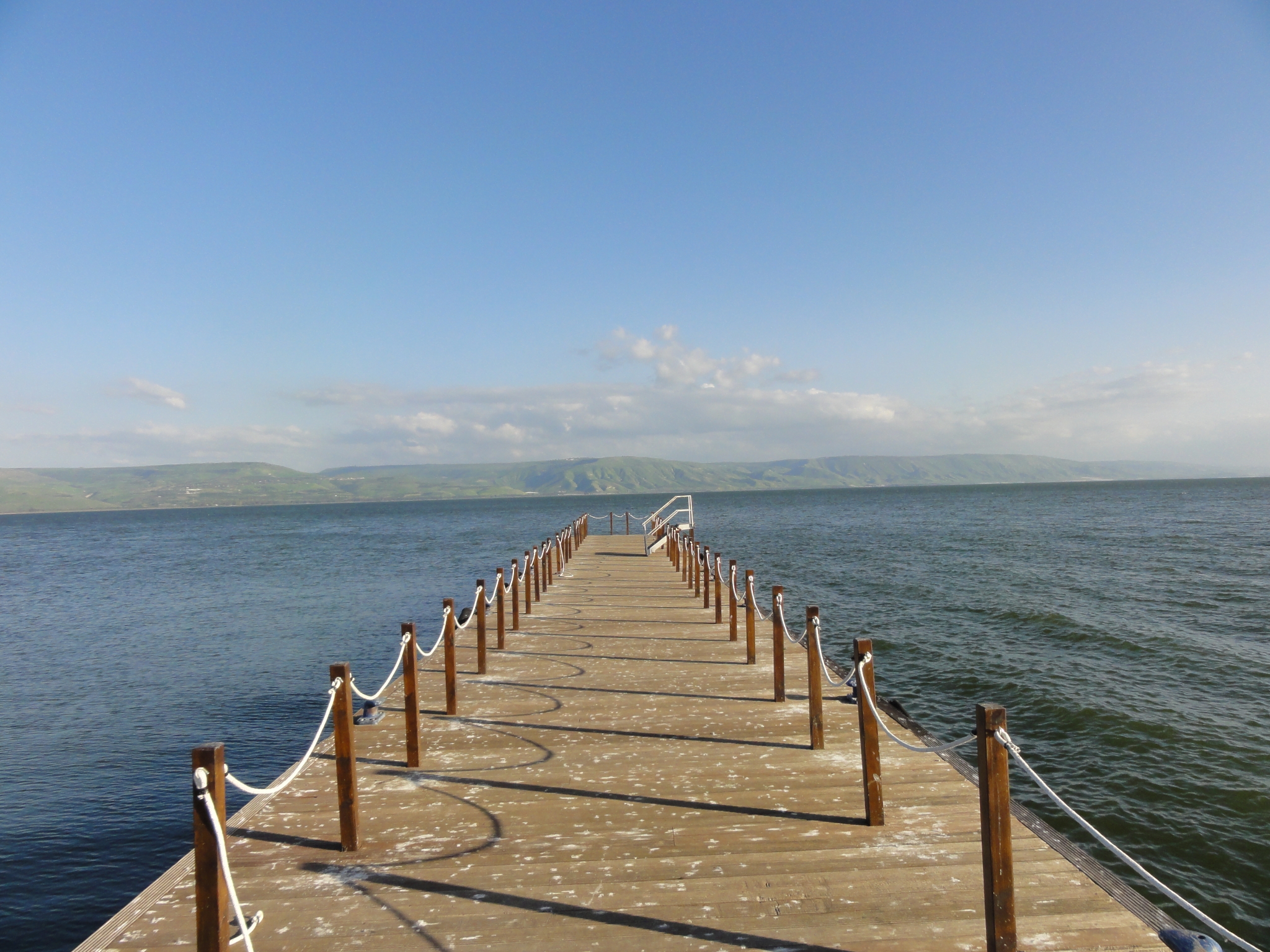 48 A look down the dock. |
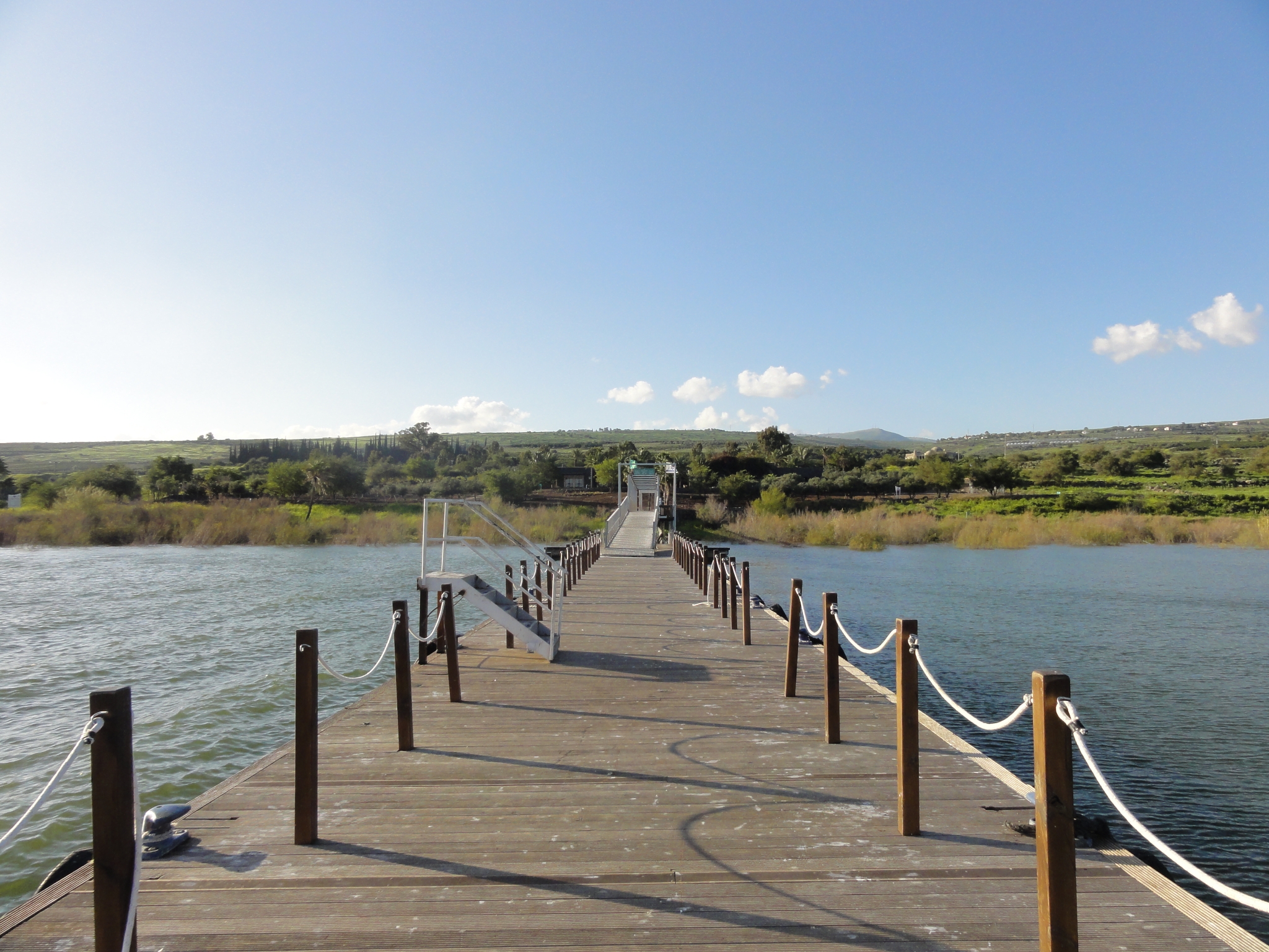 49 Looking back towards shore. |
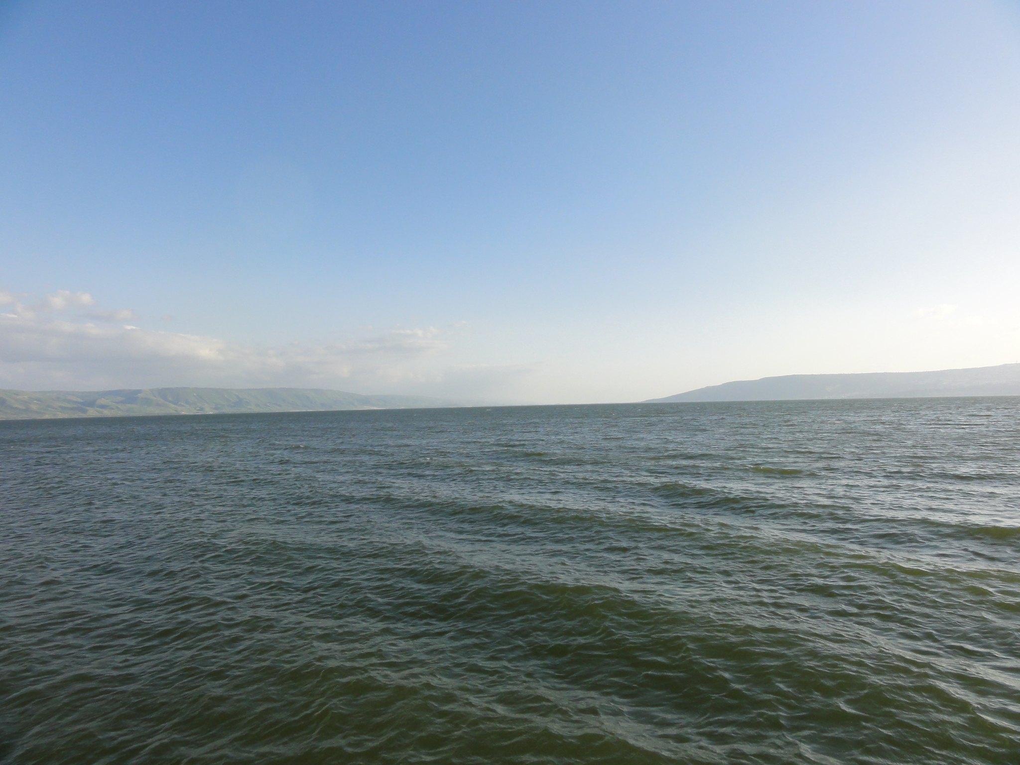
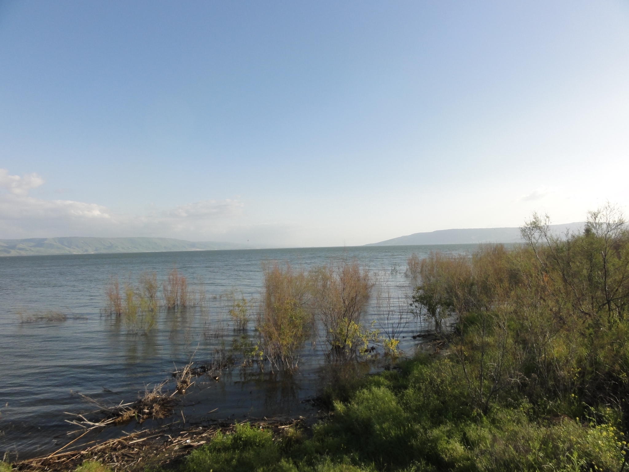 50 On my short list of the most tranquil places I have ever been. Unquestionably the highlight of my Israel trip. To think I almost ended-up not getting out of Tel Aviv. |
 51 The coast along the sea. |
 52 I hung out for a while just hoping noone was going to tell me I wasn't supposed to be here. |
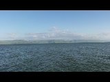
53 A panorama view from the end of the dock. |
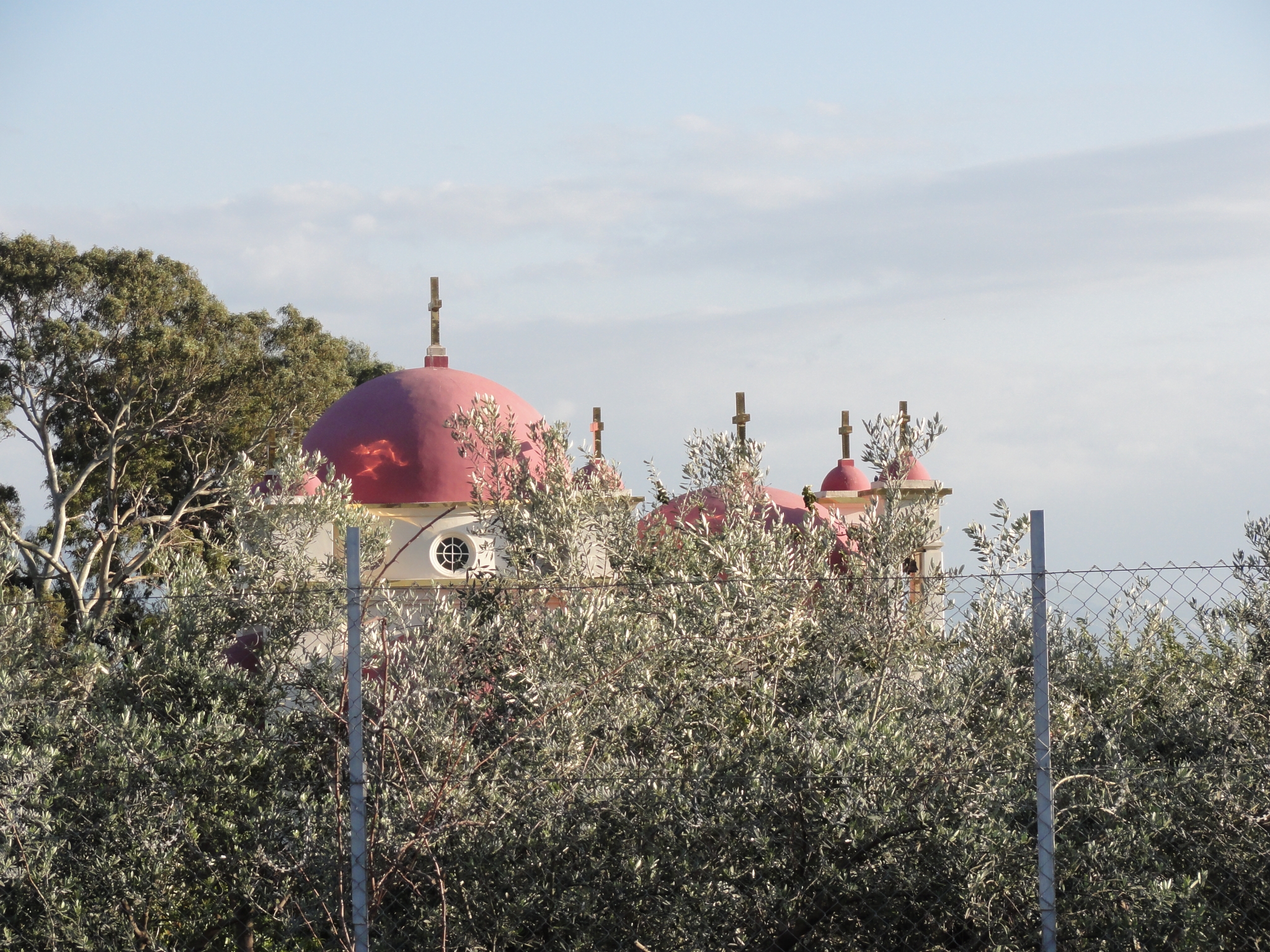
 54 A 360 video from the Capernaum dock on the Sea of Galilee. |
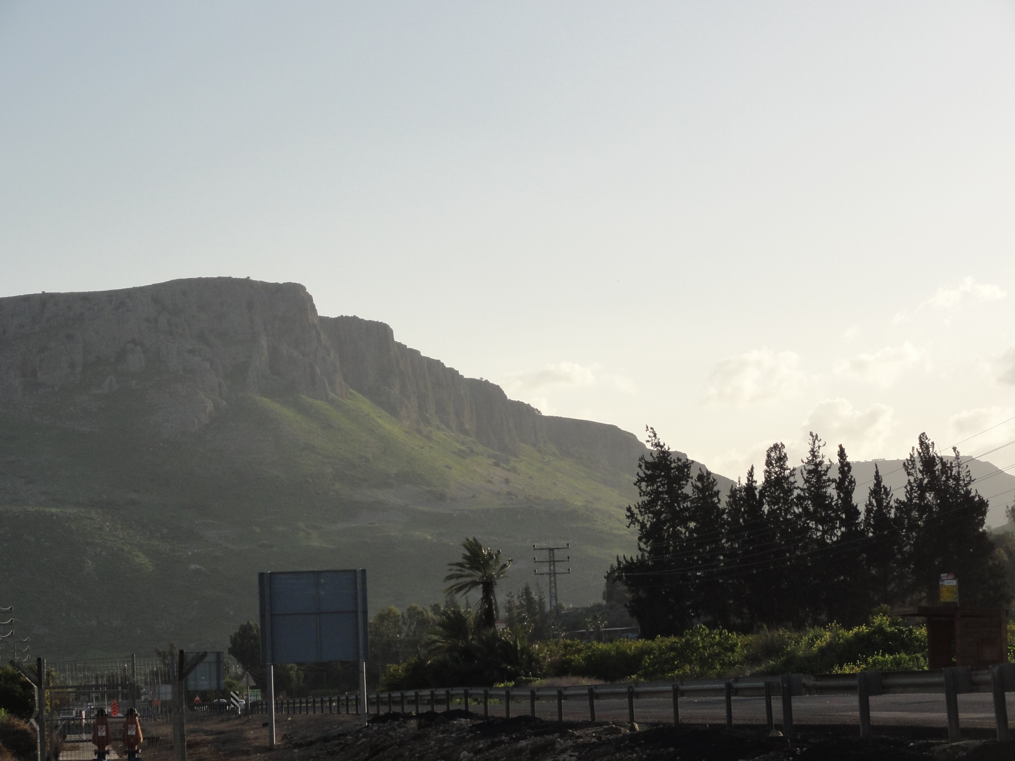
 55 A glimpse of the Greek Orthodox church at Capernaum. |
 56 Some amazing palisades near Tiberas (another famous Bible town) as I leave the Sea of Galilee. I have just enough time to make it back to Tel Aviv and shower before my 17 hour flight back. As it turns out, I had a nightmare trying to return the rental car and ended-up getting to the airport late. I had to deal with the insane Israeli airport security including having absolutely every article removed from all of my bags as well as a pants down to the ankles strip search. What an experience. |