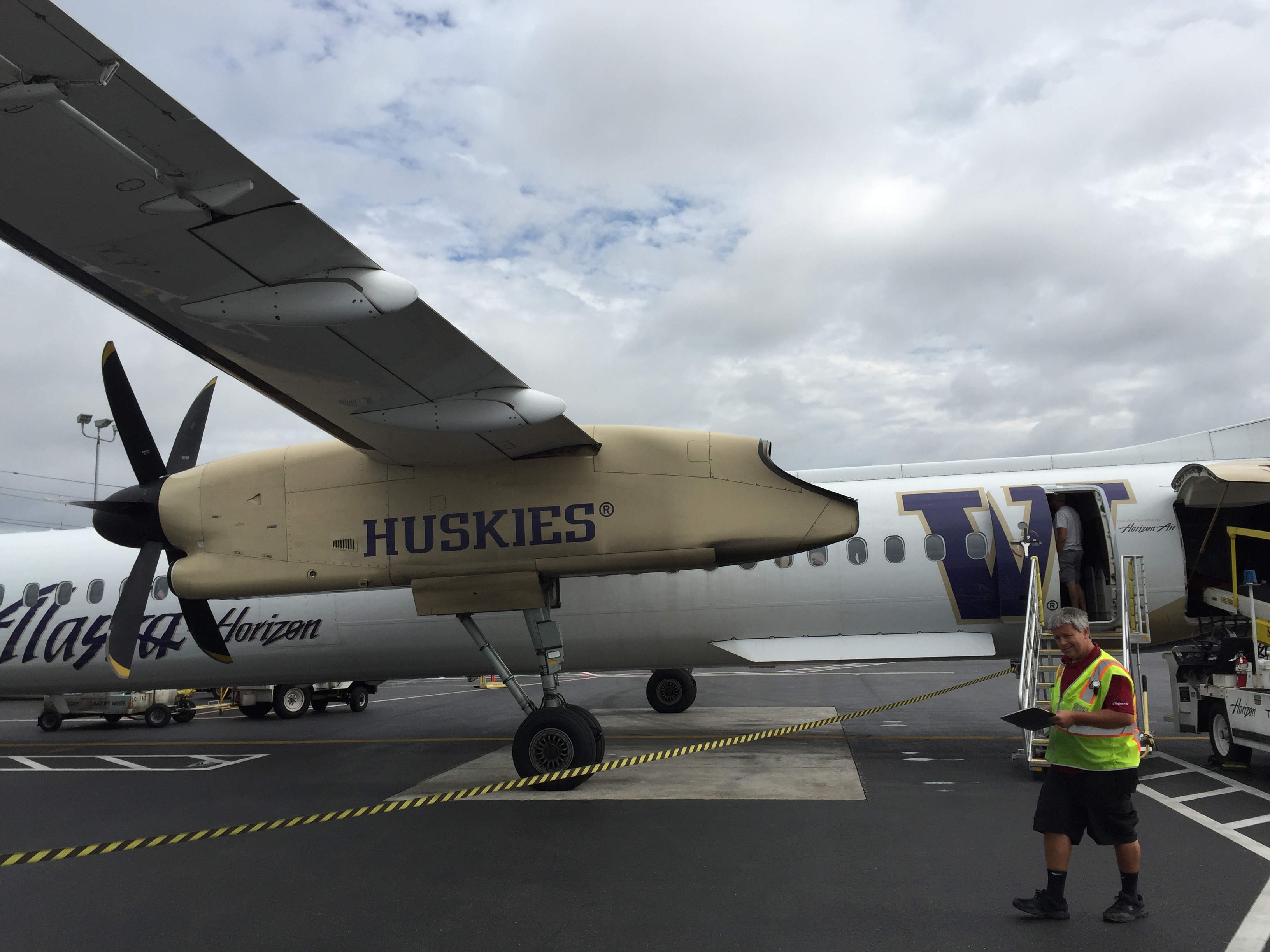
The trip began with a flight into Portland and then a hop over on a little prop plane to Redmond, the closest airport to our trailhead. It was a bit of a roller…
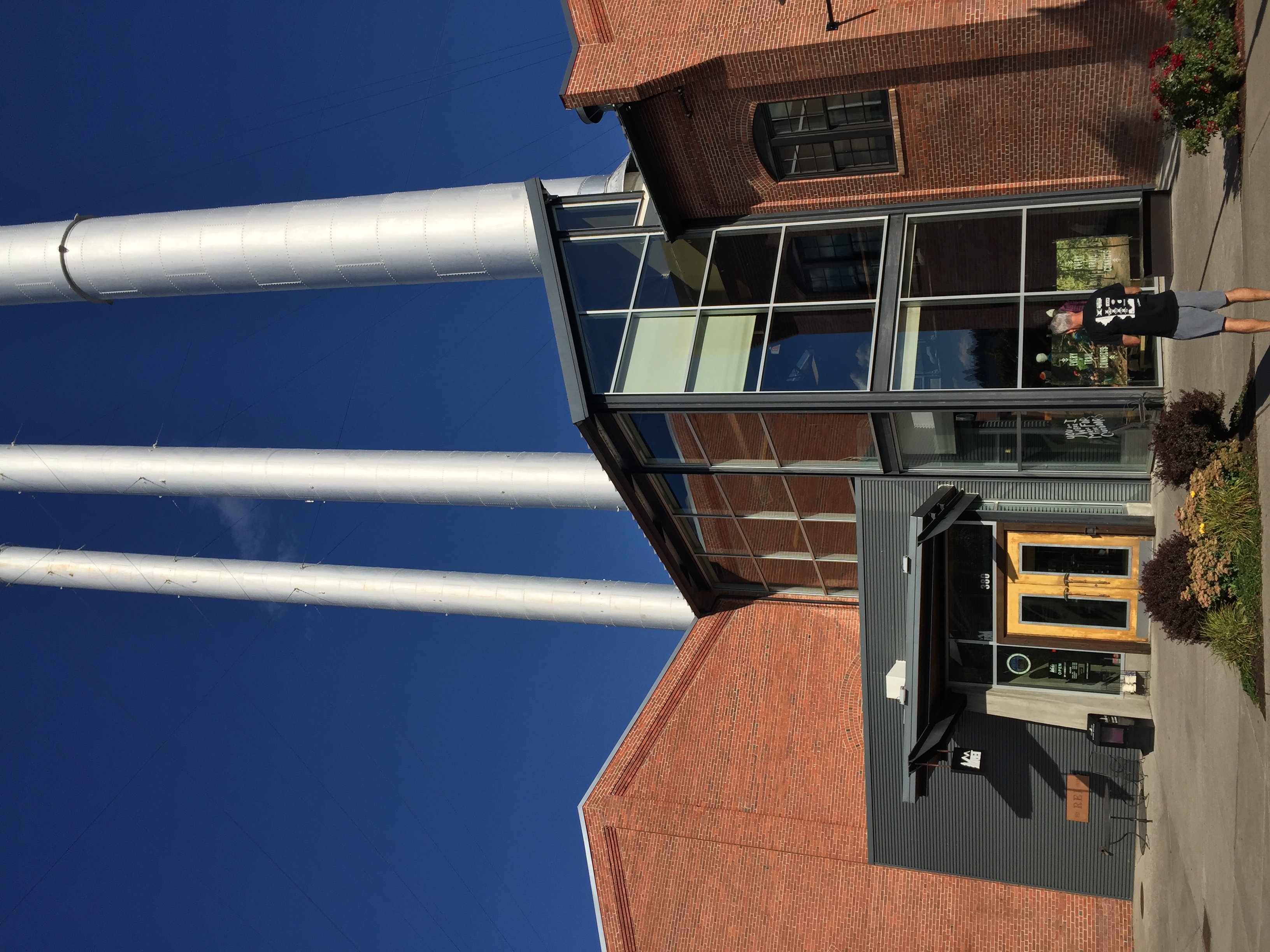
After leaving the airport, we had to stop by an REI for stove fuel (can't bring it on the plane). The REI in Bend, OR is a bit of a mechha for REI lovers. Not…
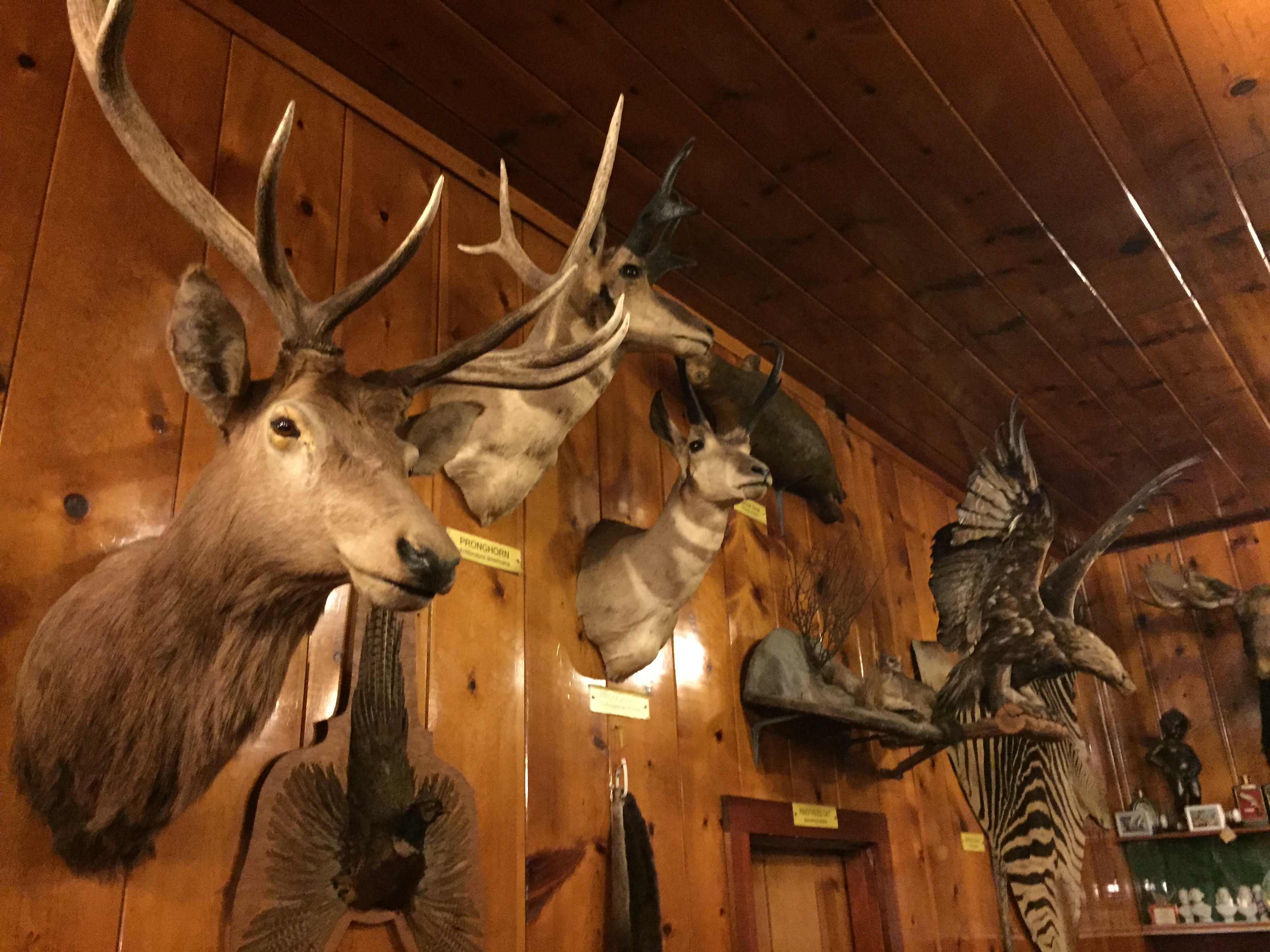
We had dinner at a little roadside cafe called the Mohawke on the way down to Crater Lake. It's evidently quite well known for its taxidermy collection.…
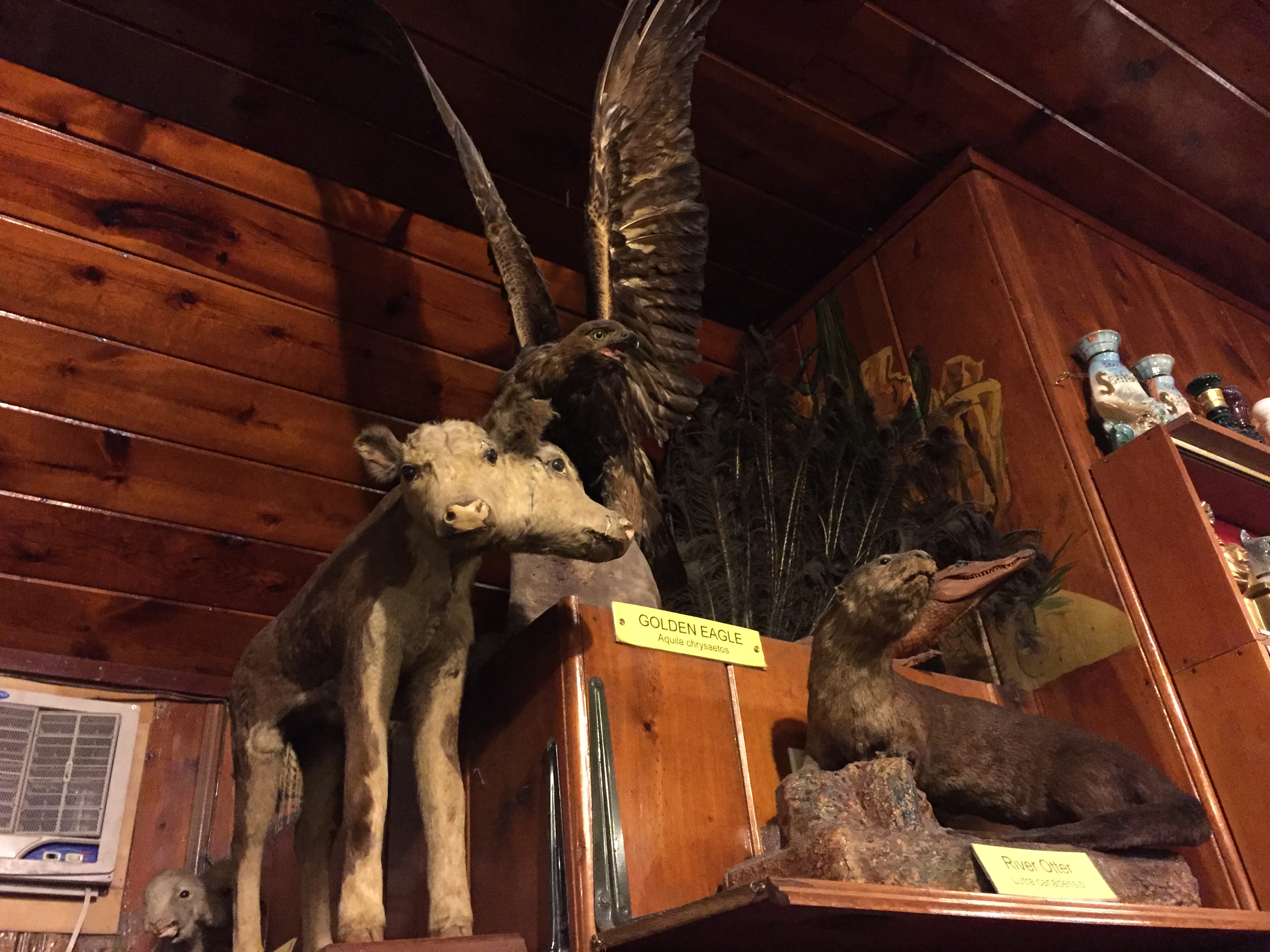
And one of the most popular items in their collection... a two-headed calf. After dinner, we drove to a little roadside motel in Chemult where we stayed the…

The next morning we drove into Crater Lake National Park. Amazing views from the very first stop. Definitely the bluest water I've ever seen, evidently due to…
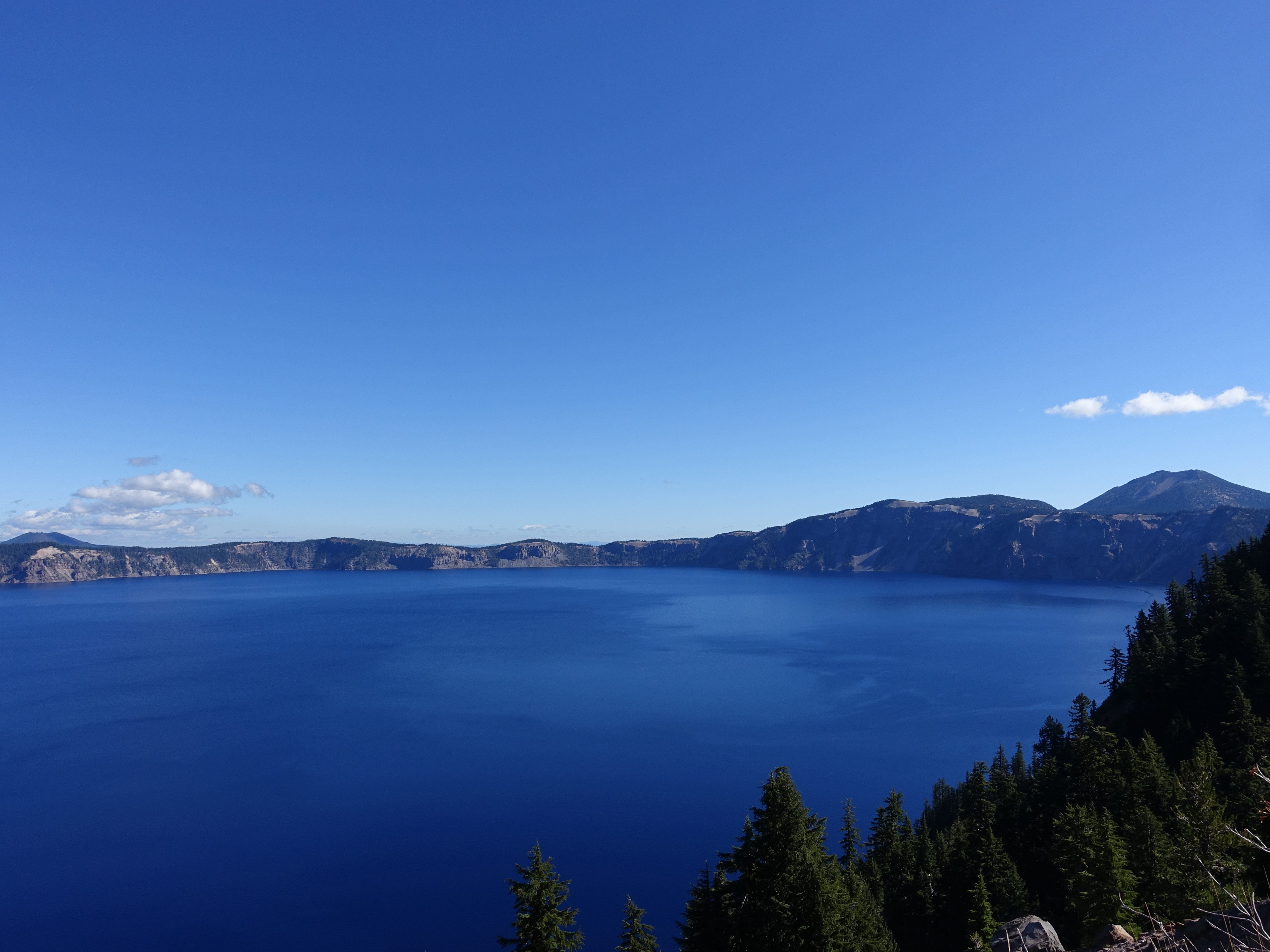
The view from near Rim Village. We drove around the perimeter of the lake for a while but couldn't get to the East side because the road was closed for a bike…
Heading out along the trail.
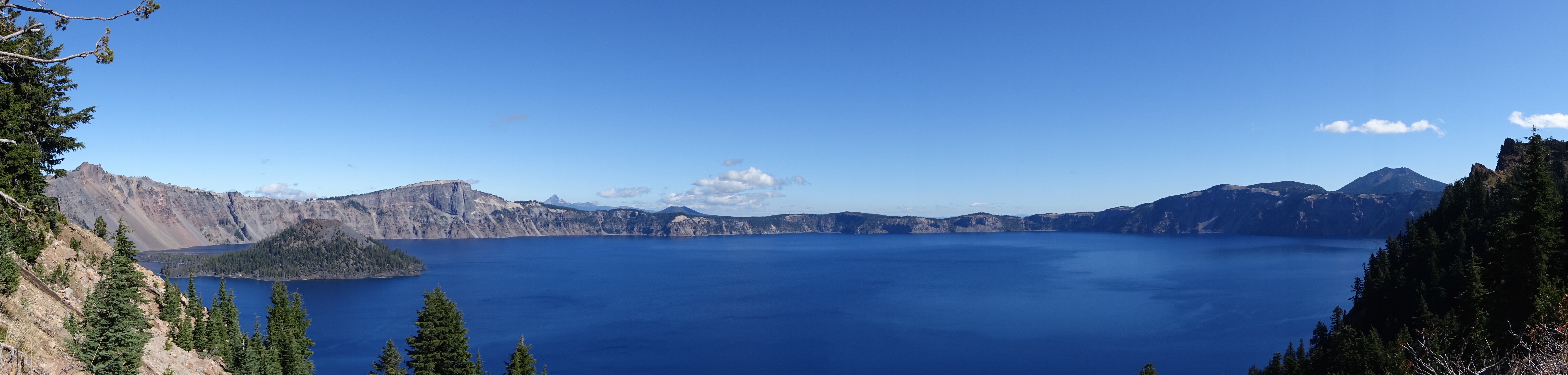
A good view of Wizard Island. It's actually a small volcano that grew from the crater floor in the aftermath of the eruption. There's another small volcano to…
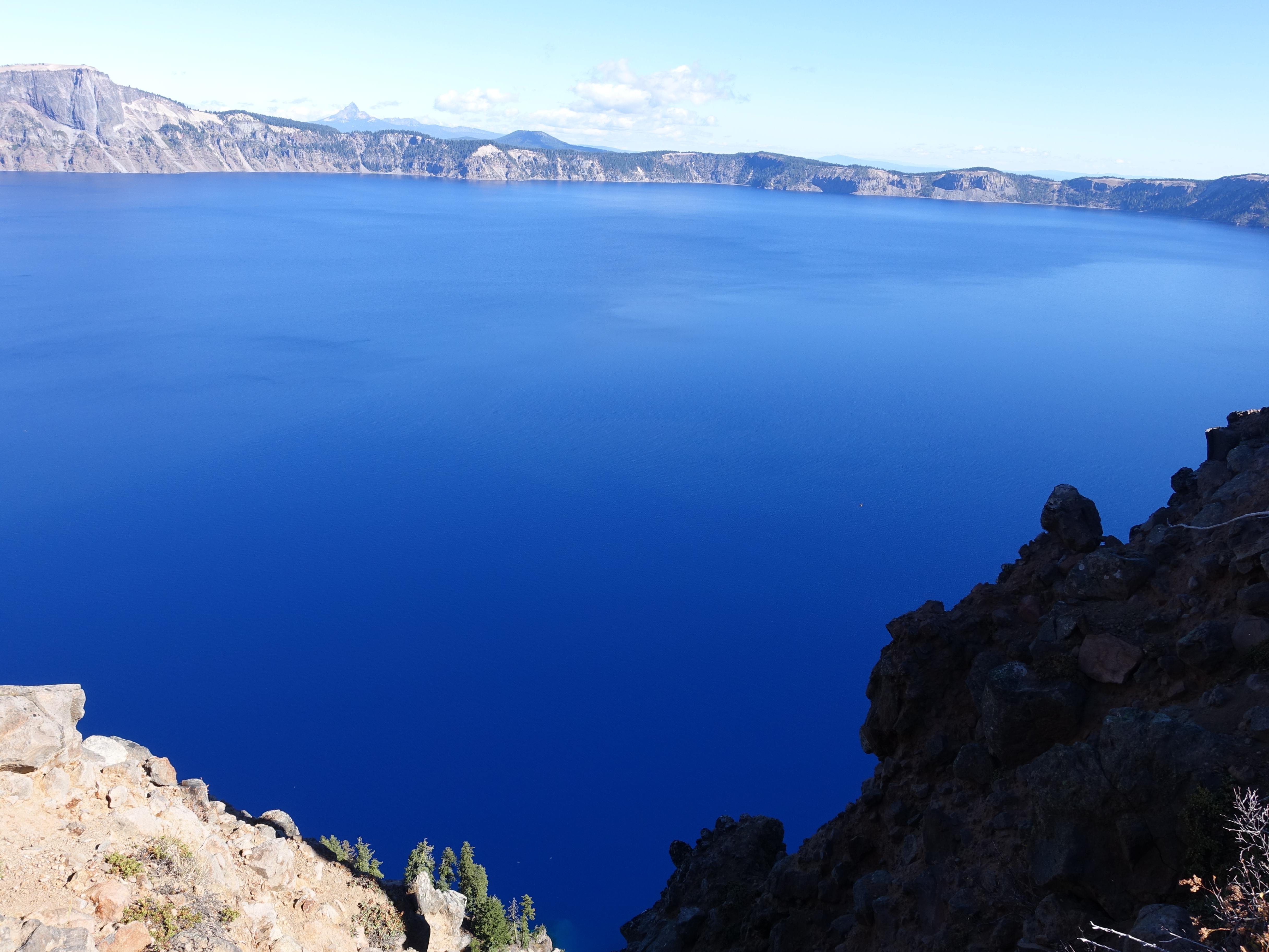
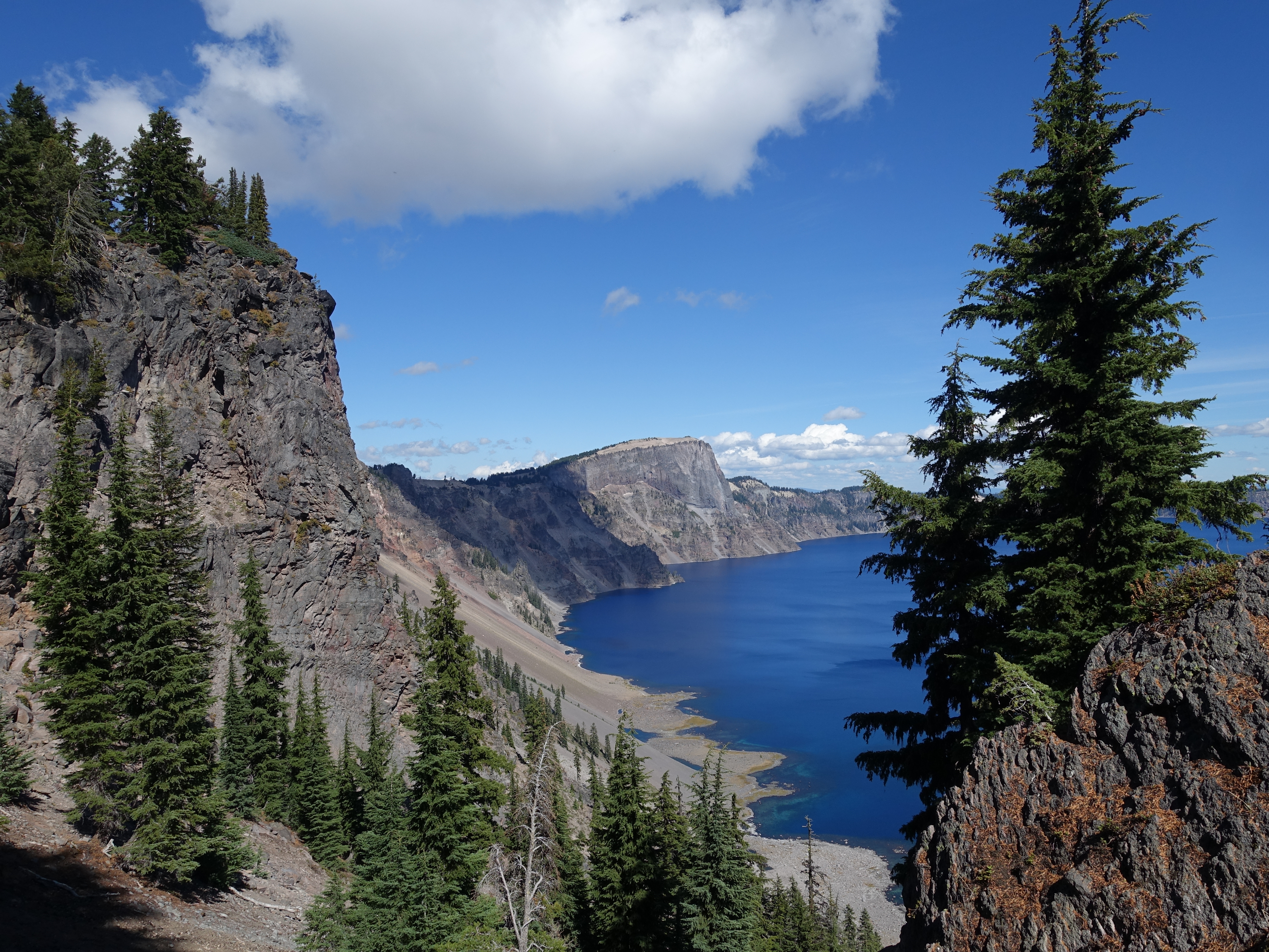
The trail seems to hang directly over the water in places.
A little higher-up you can see how the crater forms a perfect bowl. The lake is at about 6,500' above sea level, and the peak of the mountain used to be almost…
It's the deepest lake in the United States at 1,946' and 9th deepest in the world. This area averages 44 feet of snow per year, so there's decent snowmelt even…
The view from Garfield Peak at 8,054'.
Dr. Rock and I on Garfield Peak.
Next we decided to hike the West Rim trail, which heads along the lake towards Watchman Peak.
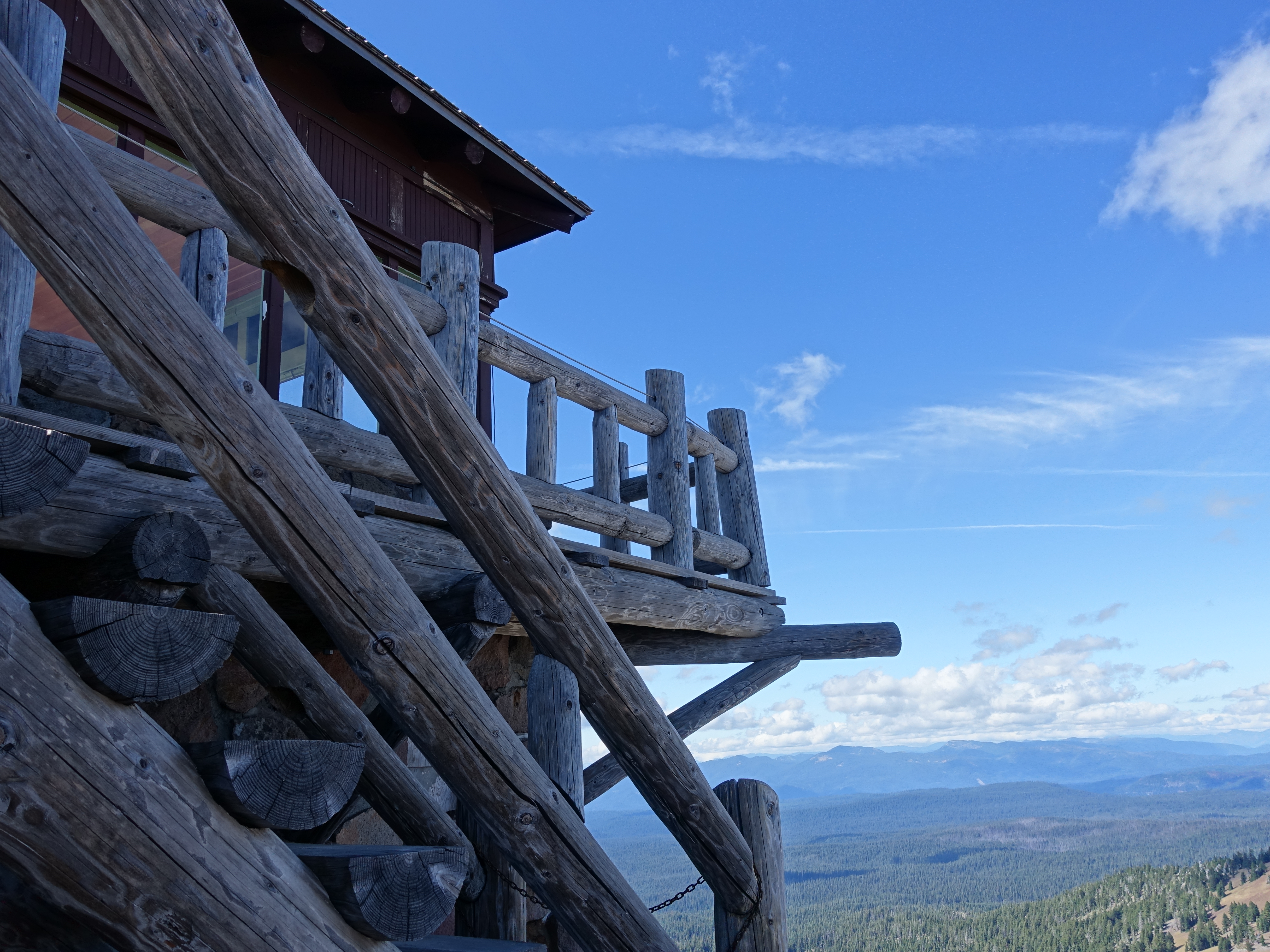
An active fire service watchtower still resides on Watchman Peak. There was a park ranger manning the tower while we were there. He was primarily keeping an eye…
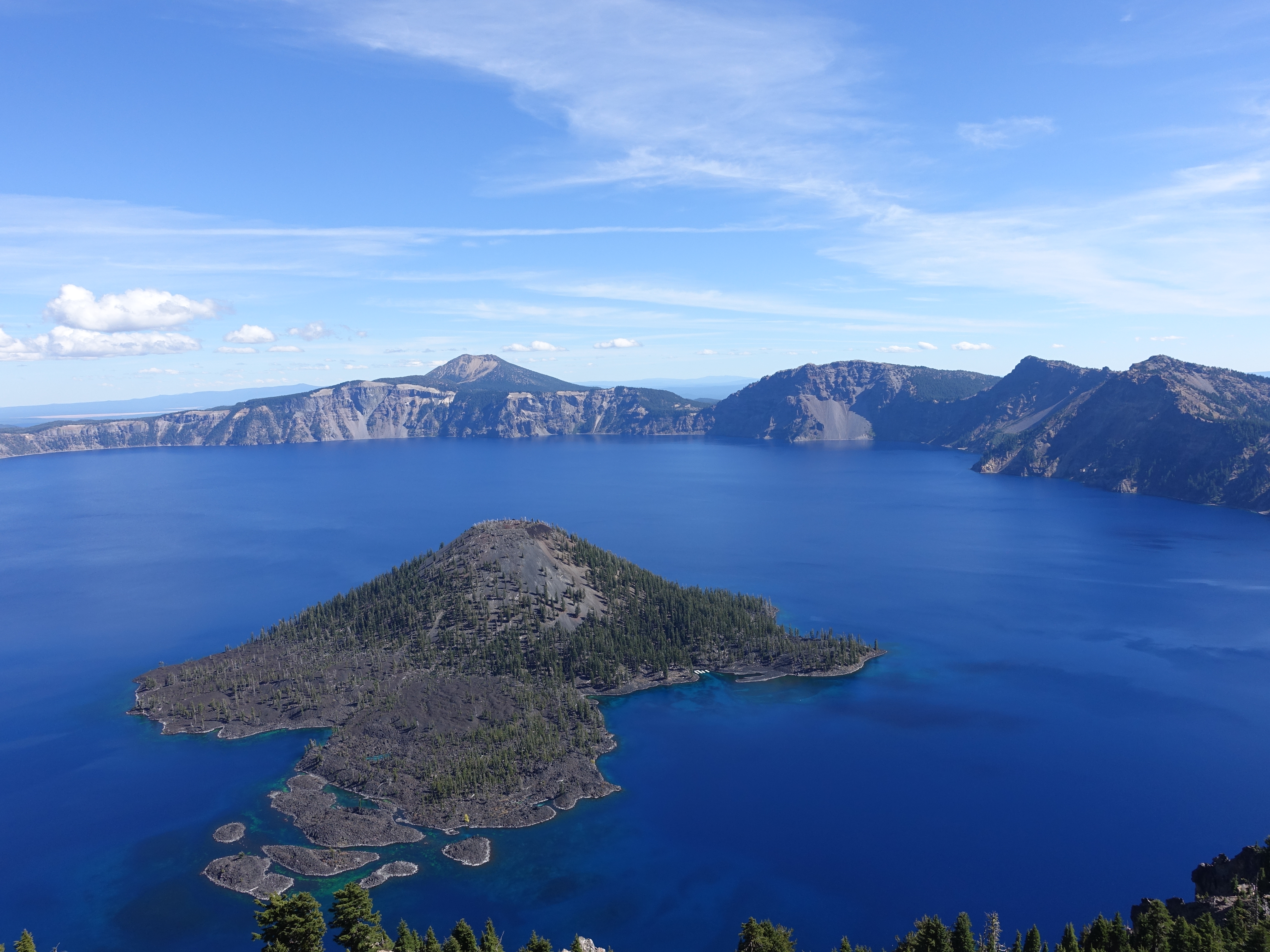
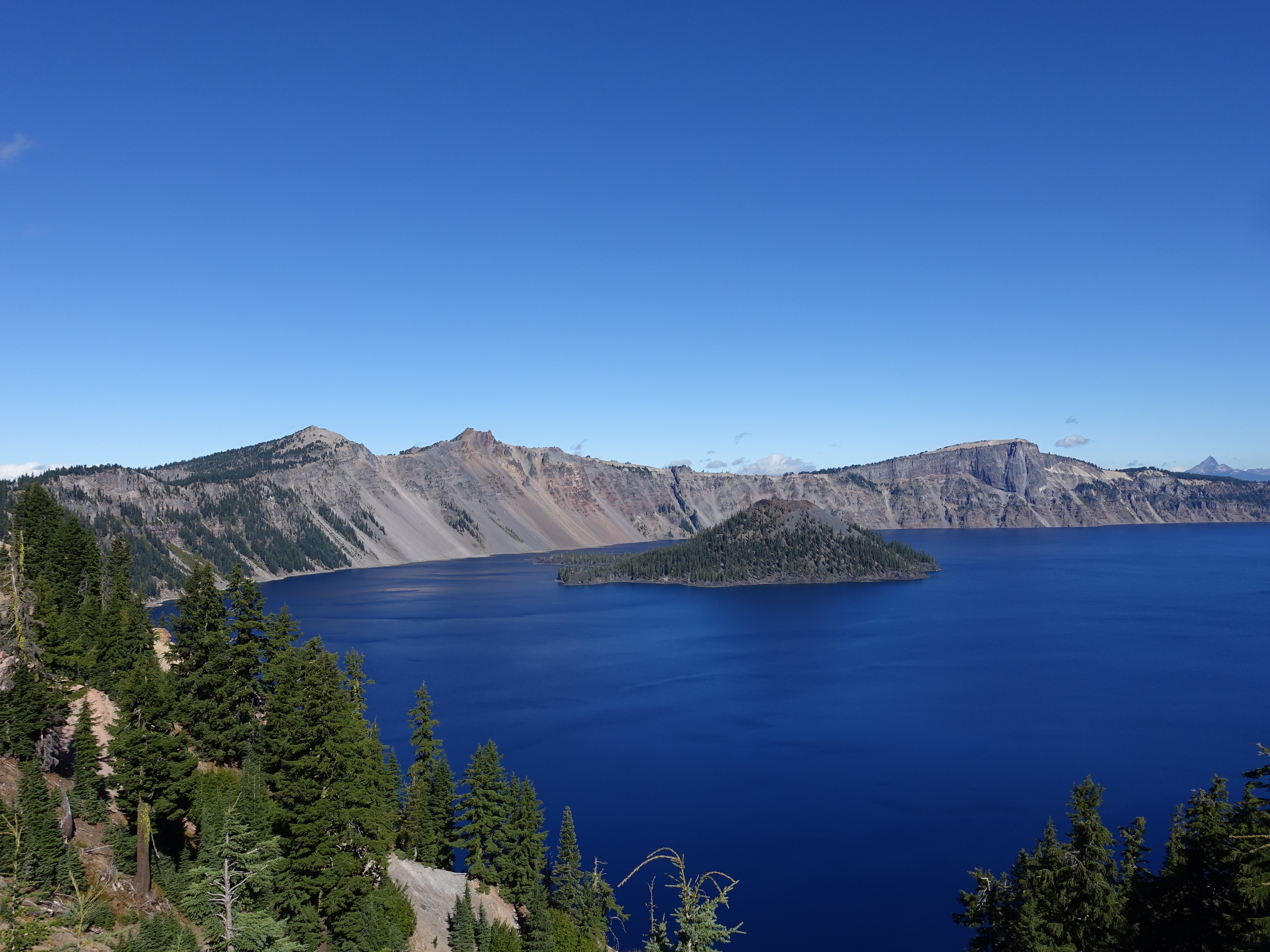
A view of Wizard Island from Watchman Peak. It's tough to tell here, but the water colors around the shoreline are amazing. There's also a ferry that goes out…
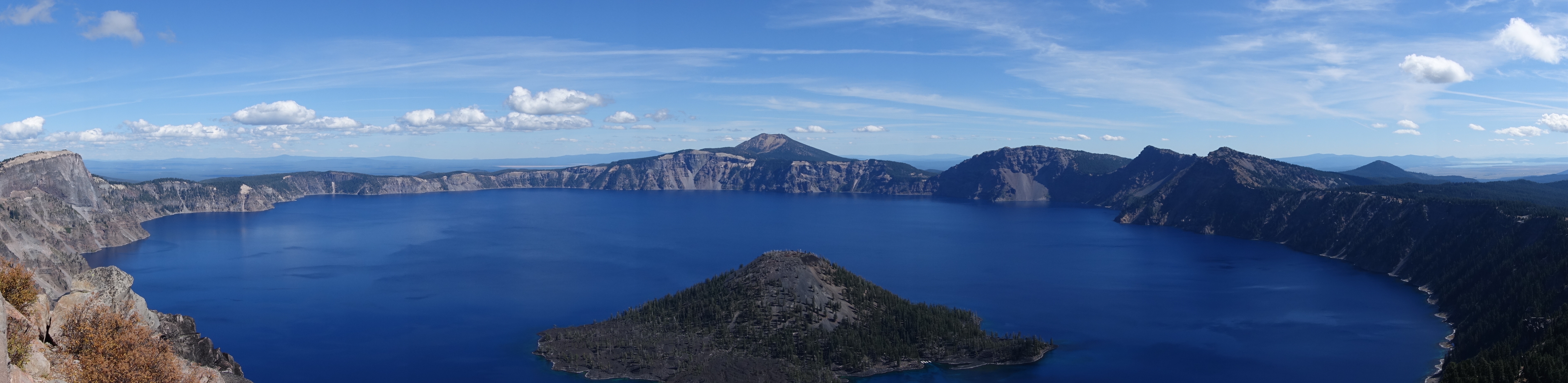
A panorama from Watchman Peak at 8,015'. Now it's time to head back to Redmond to get ready for 4 days in the Three Sisters Wilderness.