8/1/18 The second part of my impromptu 24hr challenge. I needed to summit Mt. Whitney, the highest point in the contiguous US within 24 hours of being at the lowest point, Badwater Basin in Death Valley.
1 
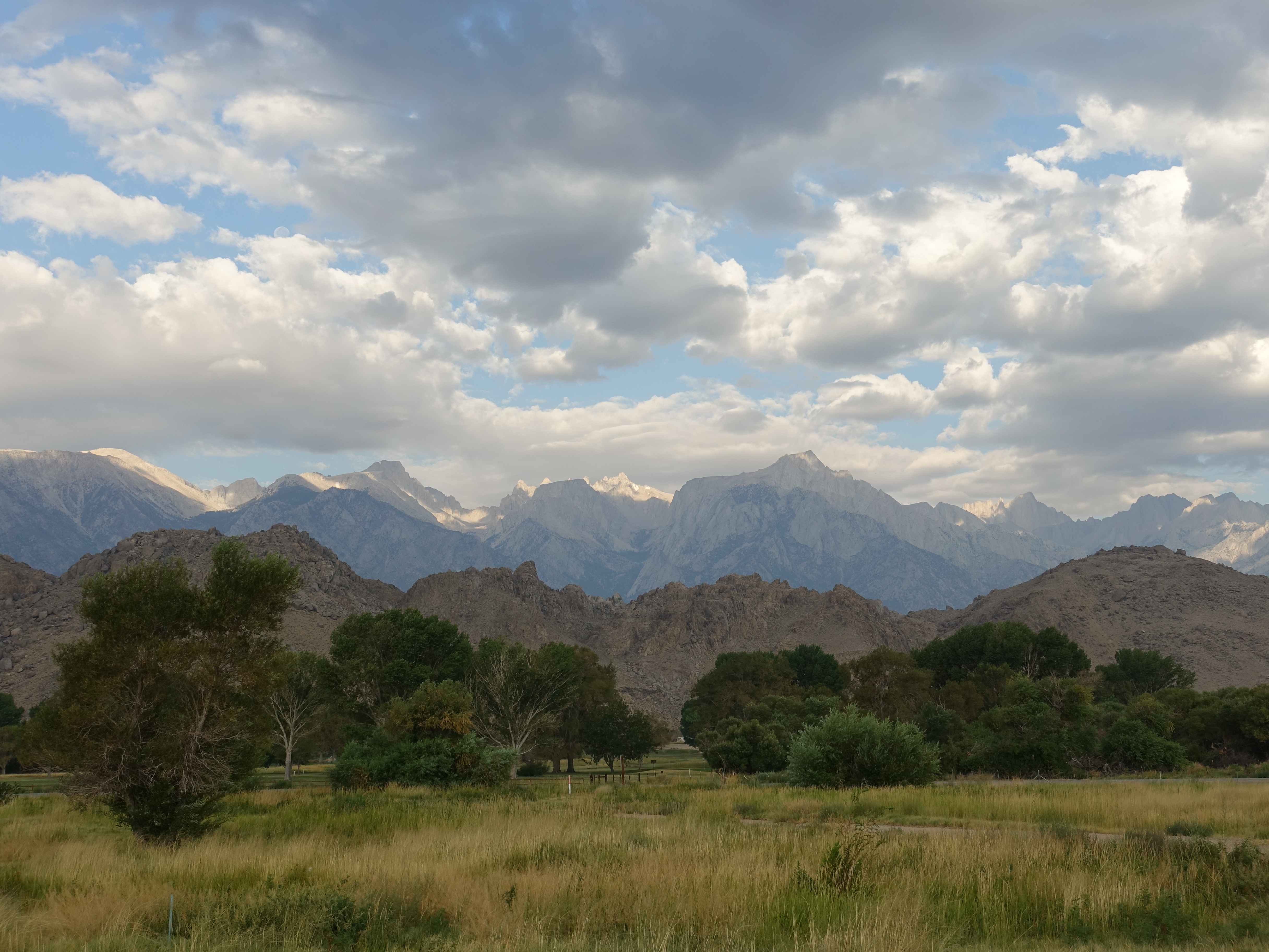
Morning view from the day before at the Visitor Center. The Mt. Whitney summit is perfectly highlighted in the sun. I had been nervously watching the weather reports all week, and the rangers warned that thunderstorms had been rolling in every day this week at around 11:00am. They said to make sure to be off the summit by 11:00!
2 
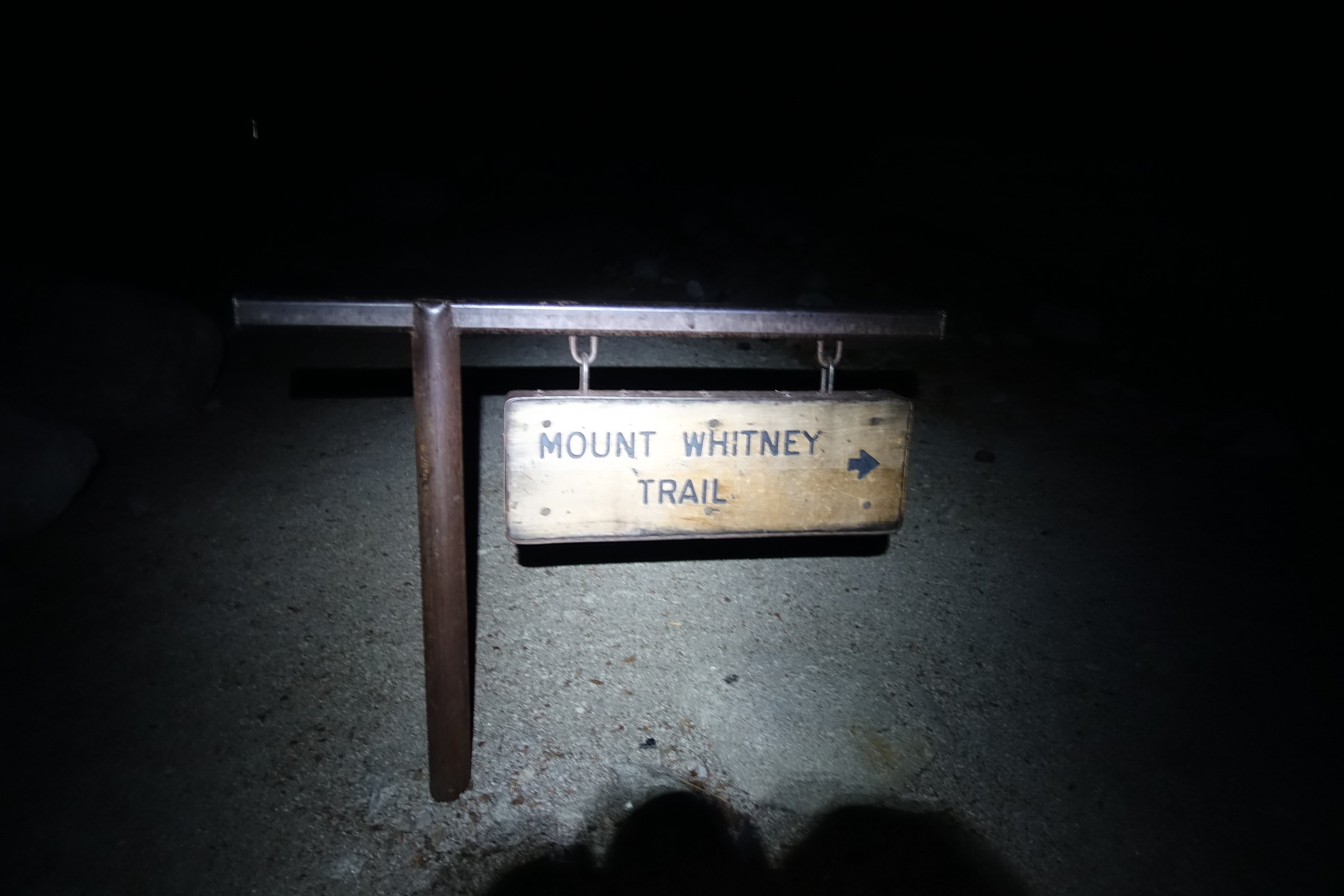
Most people picking up permits were talking about starting on the trail by midnight or 3am at the latest. That seemed ridiculously early to me. I was planning on starting at first light around 6:00am, but I decided to play it safe and start around 5am to be sure to be off the summit by 11. I actually had a hard time finding the trailhead in the dark. Somehow I managed to miss the sign and wandered around losing precious time before finally finding it. Since everyone starts in the dark, you would think they could at least put some reflective tape on it.
3 
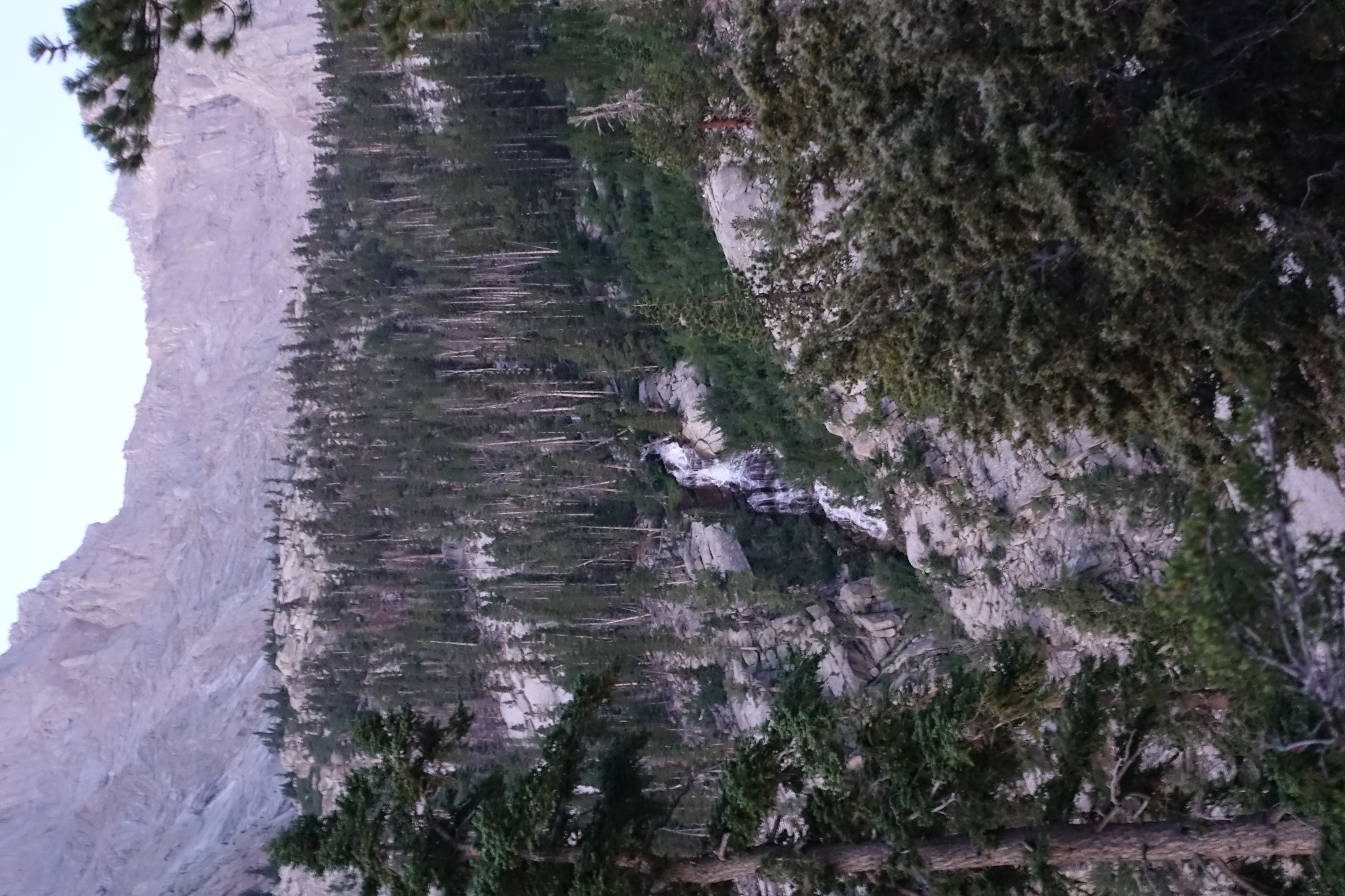
Heading up the canyon in the early morning light. First view of the impressive cascades of Lone Pine Creek.
4 Sunrise over the White Mountains to the East.
5 
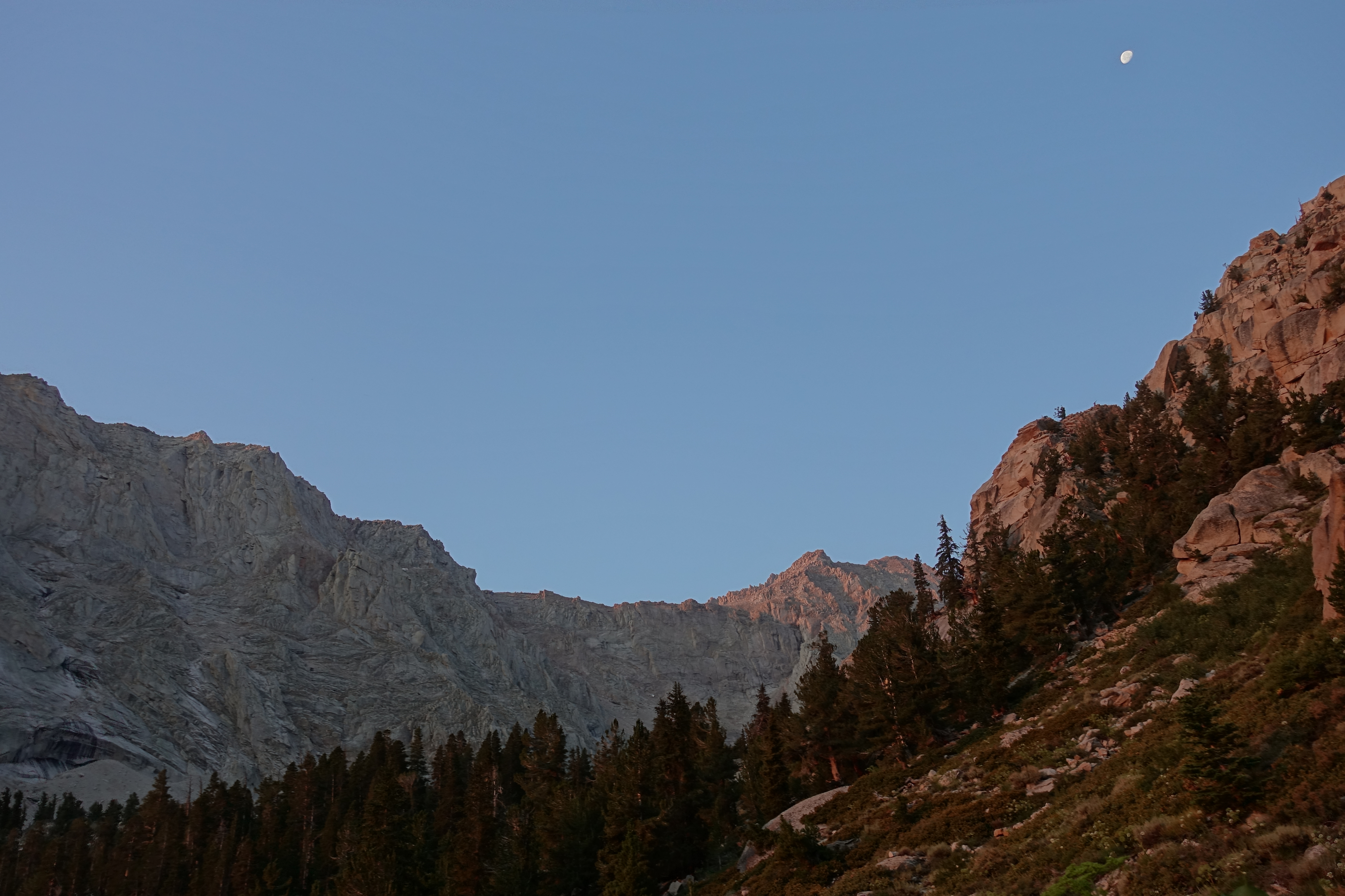
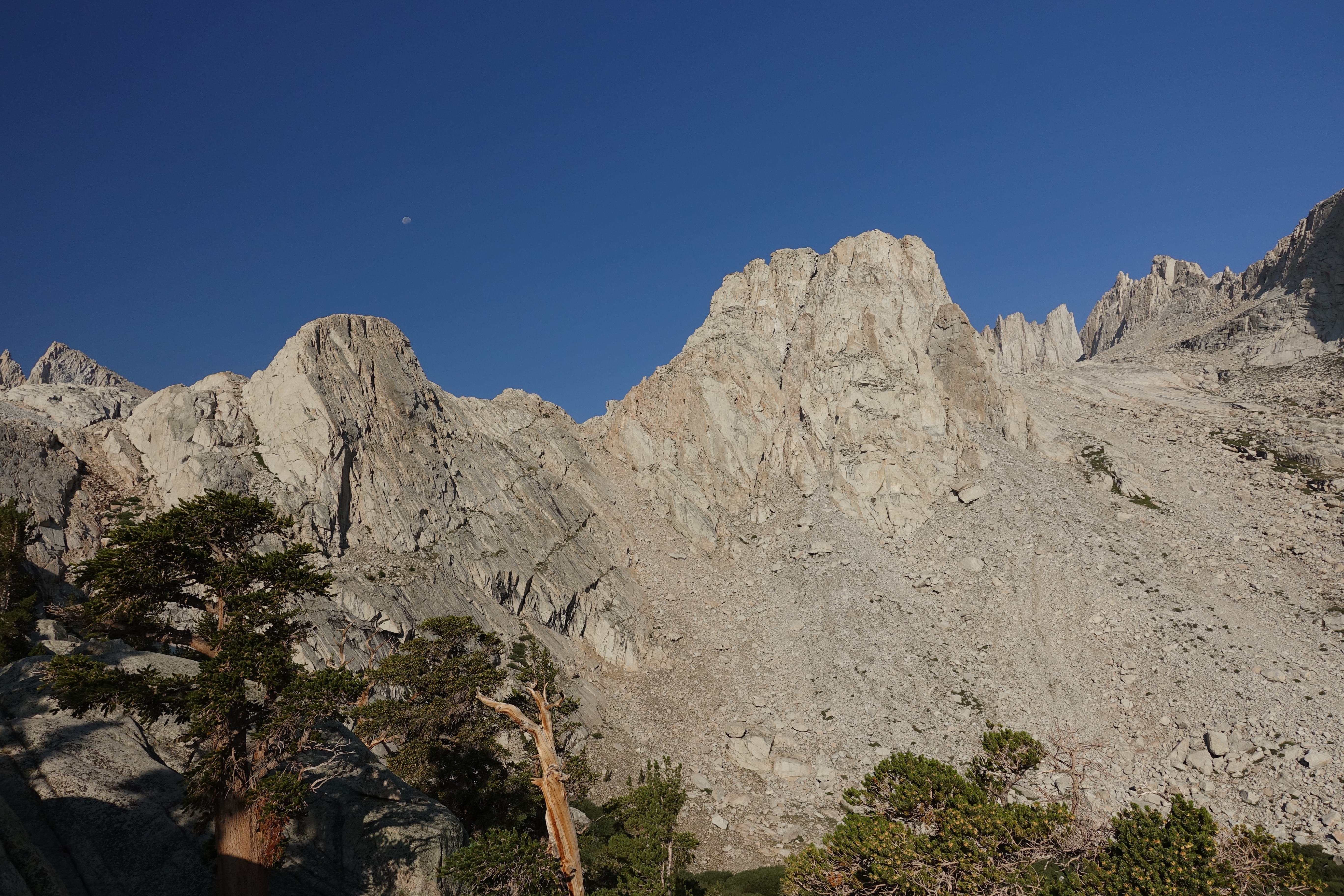
The moon was still high overhead as the granite was washed in the reddish glow of sunrise.
6 
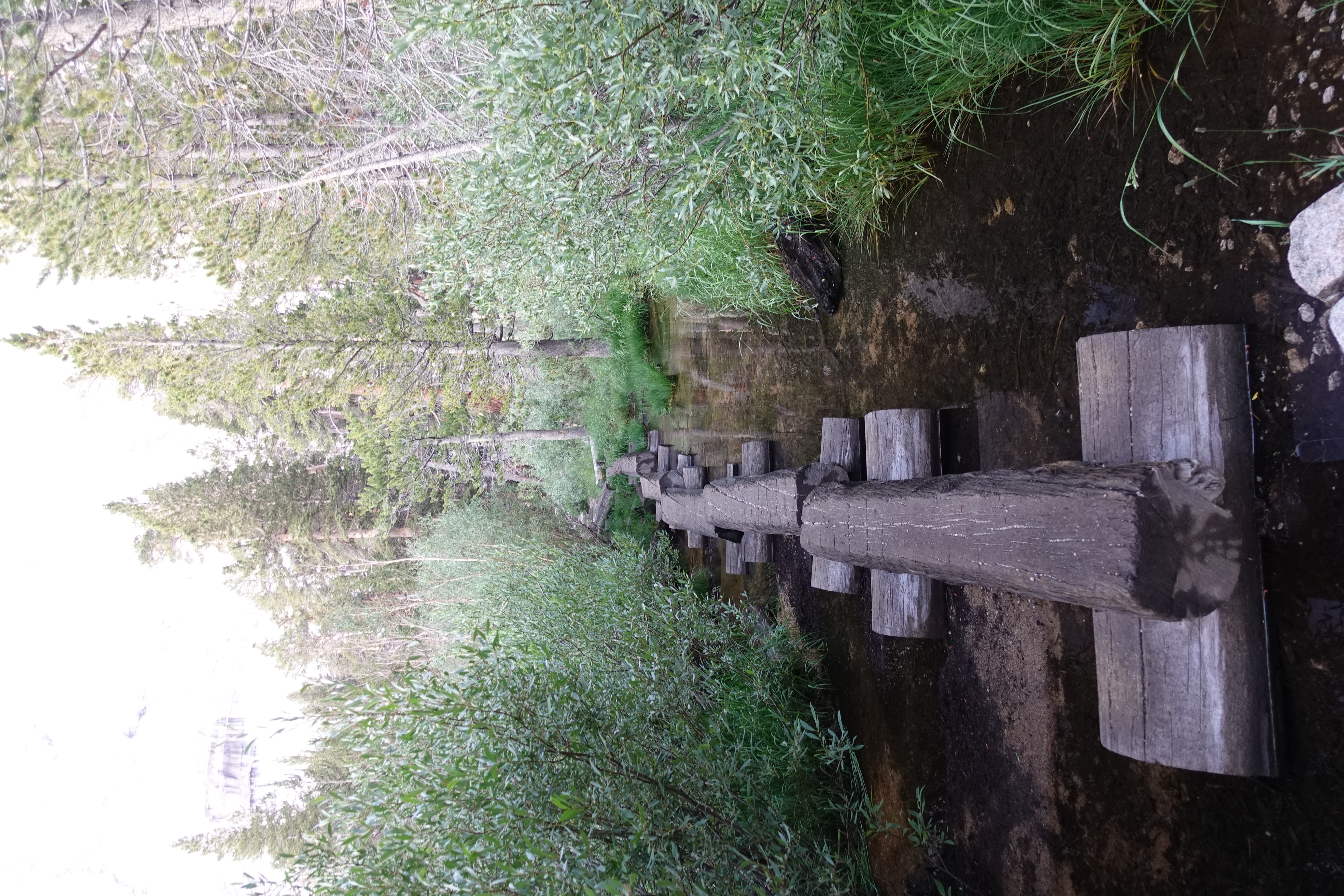
A footbridge through the flooded meadows. I believe this is new since the last time I was here 15 years ago.
7 
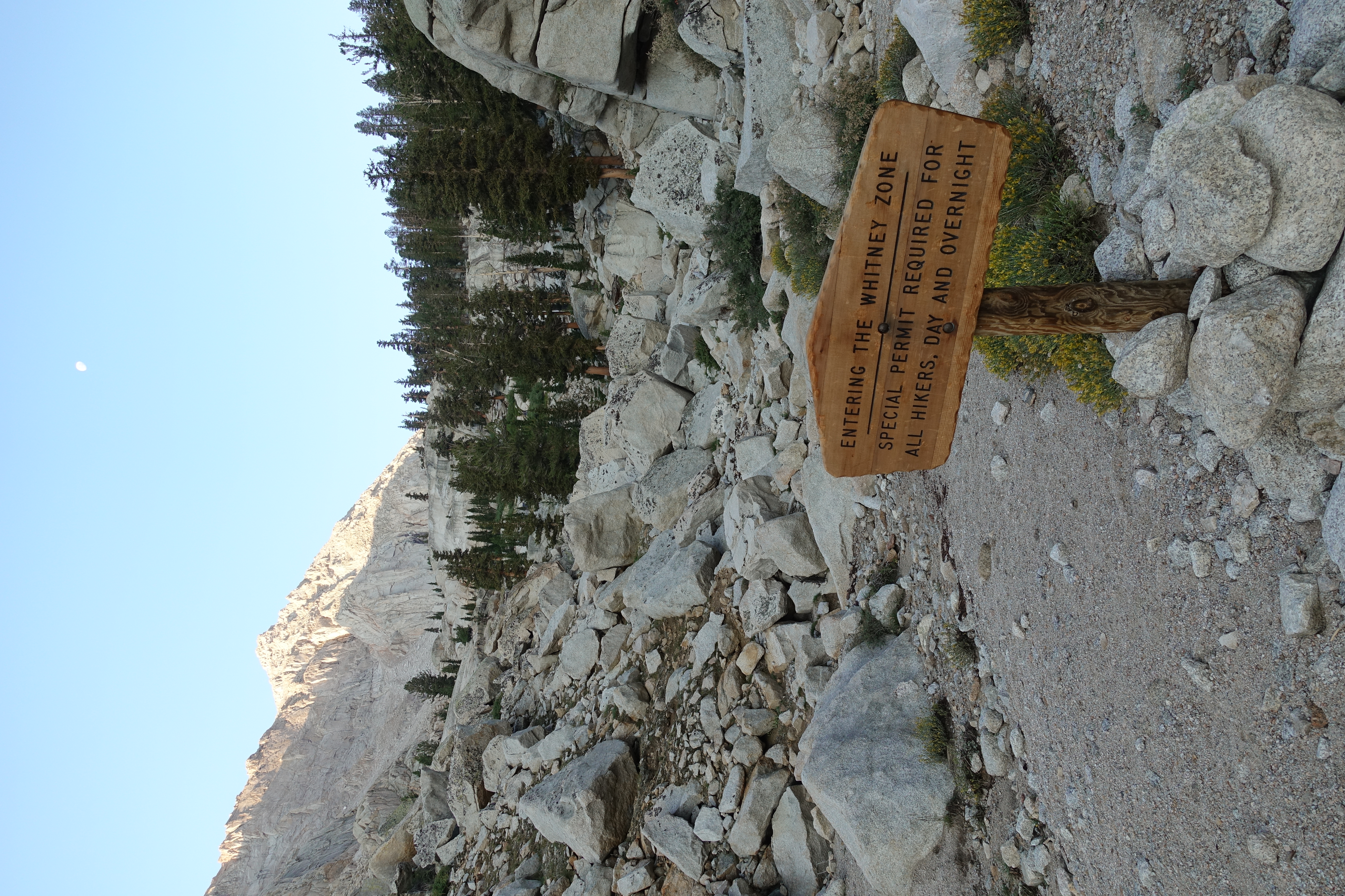
Now officially entering the strictly controlled Whitney Zone above Lone Pine Lake. For all the extreme hassle in getting permits, I was dissapointed that I didn't come across anyone checking permits all day.
8 
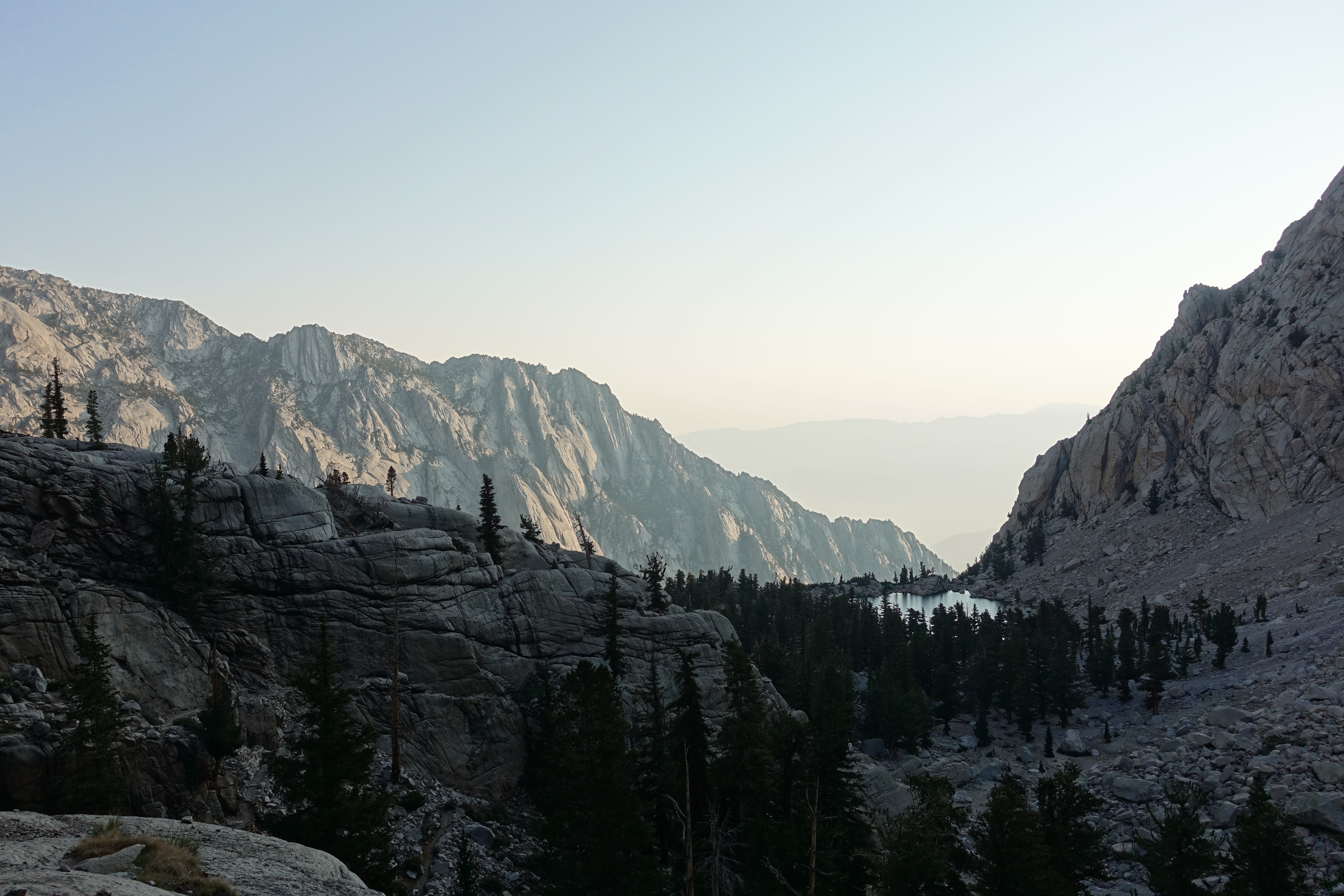
Looking down at Lone Pine Lake still early in the morning. I've been making great time so far.
9 The creek and meadows at Bighorn Park with Thor Peak in the background.
10 Family breakfast in the meadow.
11 
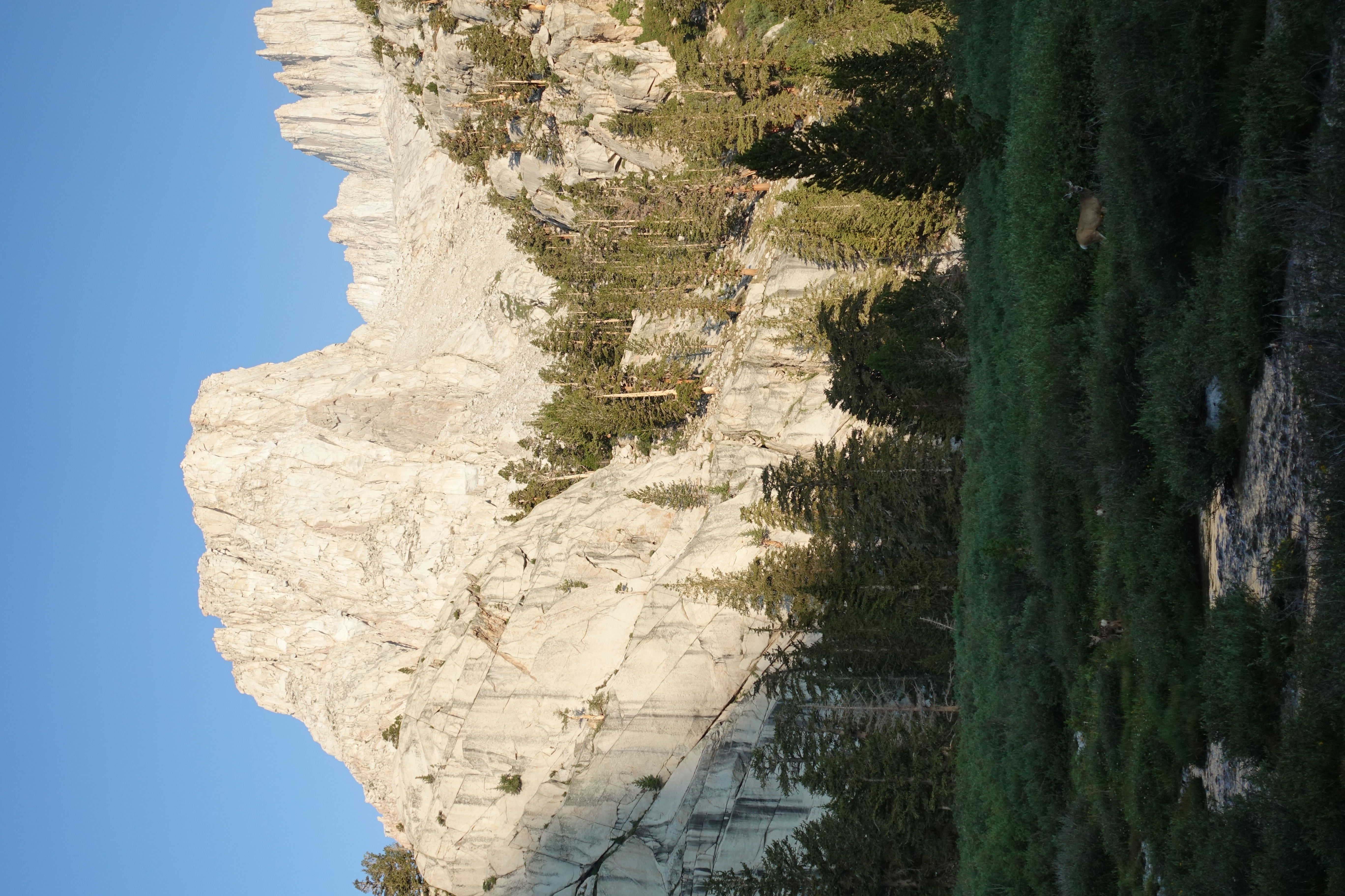
Thor Peak above the meadow and deer.
12 
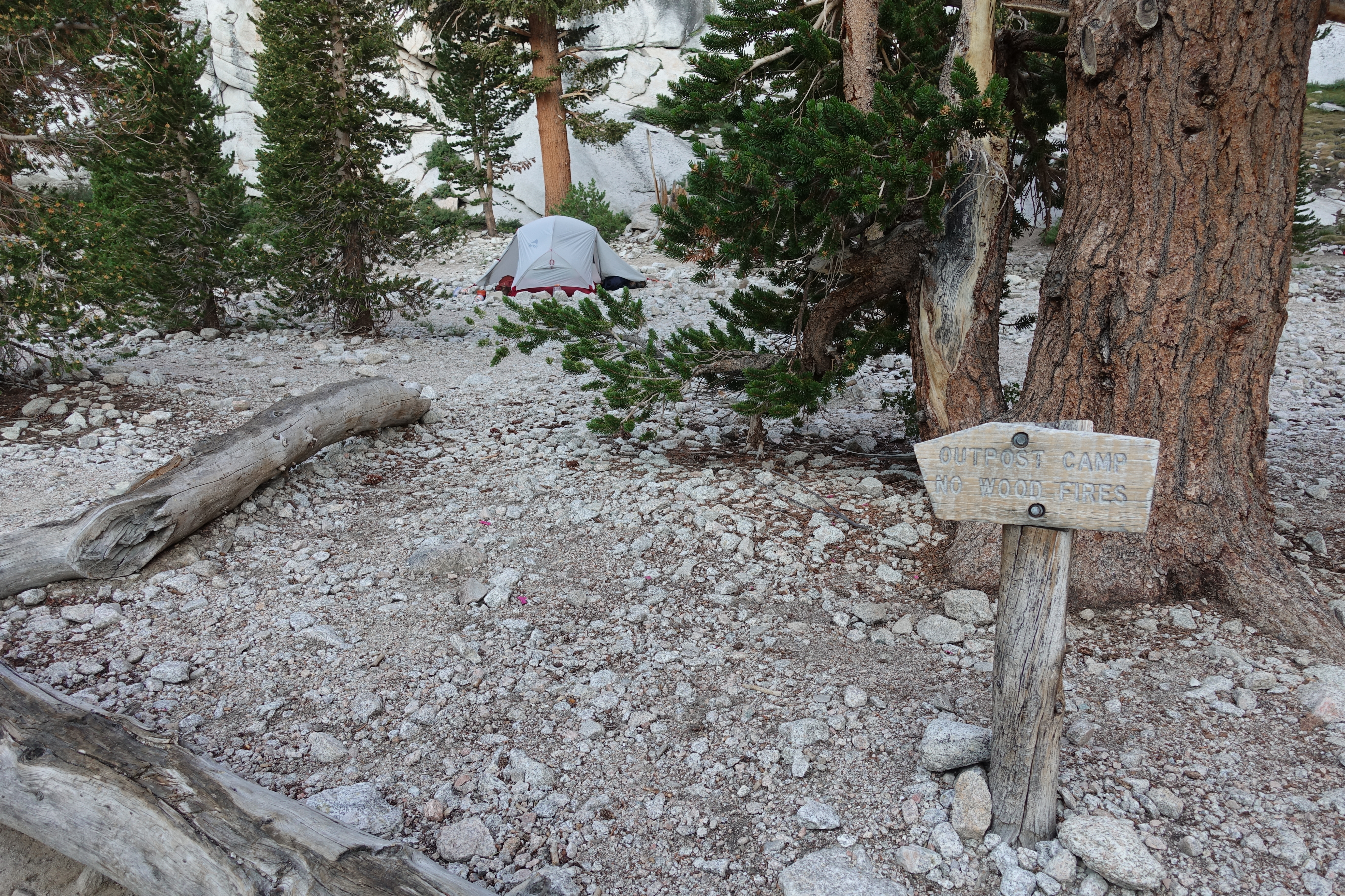
Made it to Outpost Camp at just above 10,000'. It's just after 7:00am, and I'm still feeling confident in my pace. I hadn't seen many people on the trail so far, which was surprising. Probably the advantage of a late start. But I was starting to catch-up to the crowd now, and the trail would be pretty busy from here on out.
13 
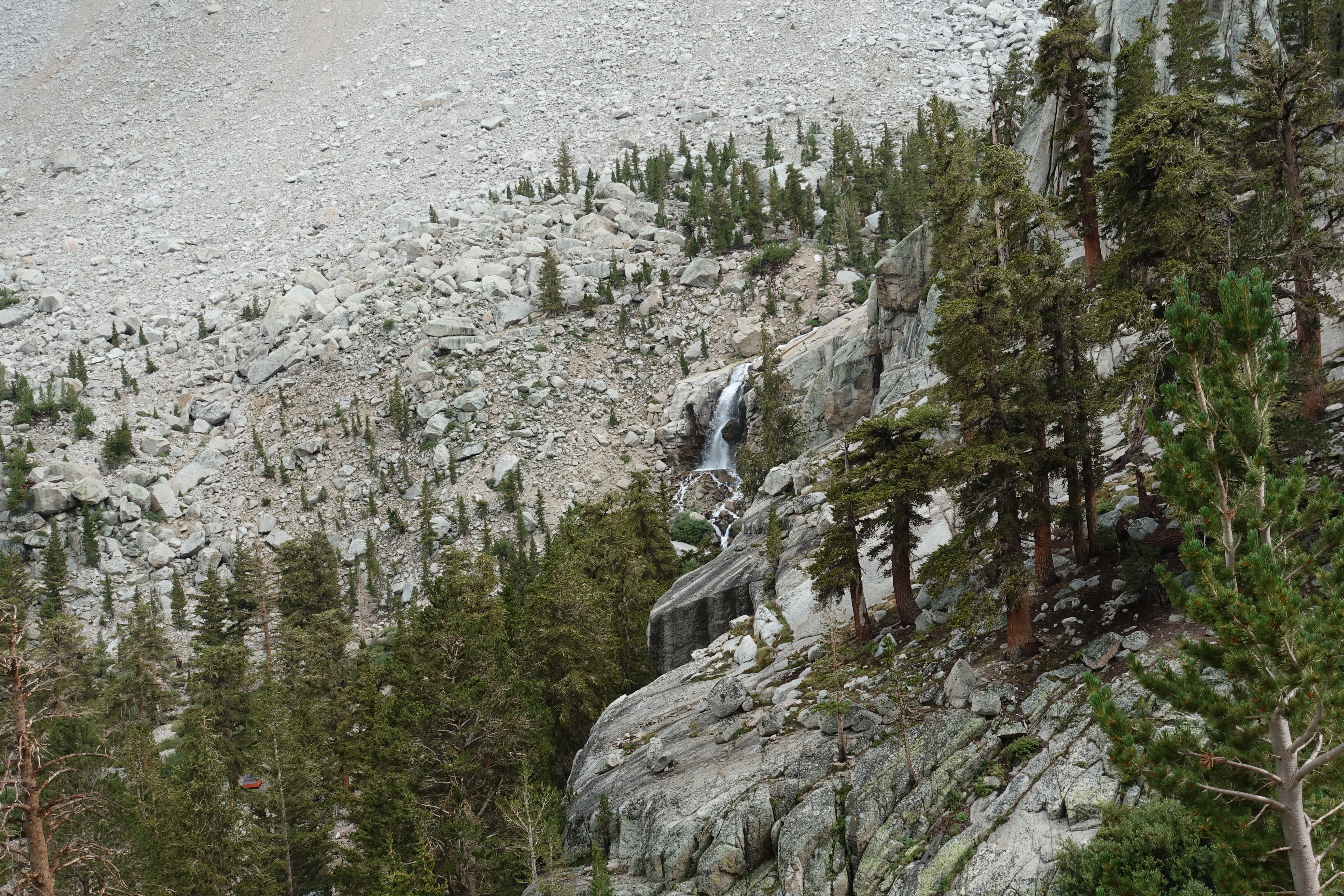
A nice waterfall on Lone Pine Creek above Outpost Camp.
14 
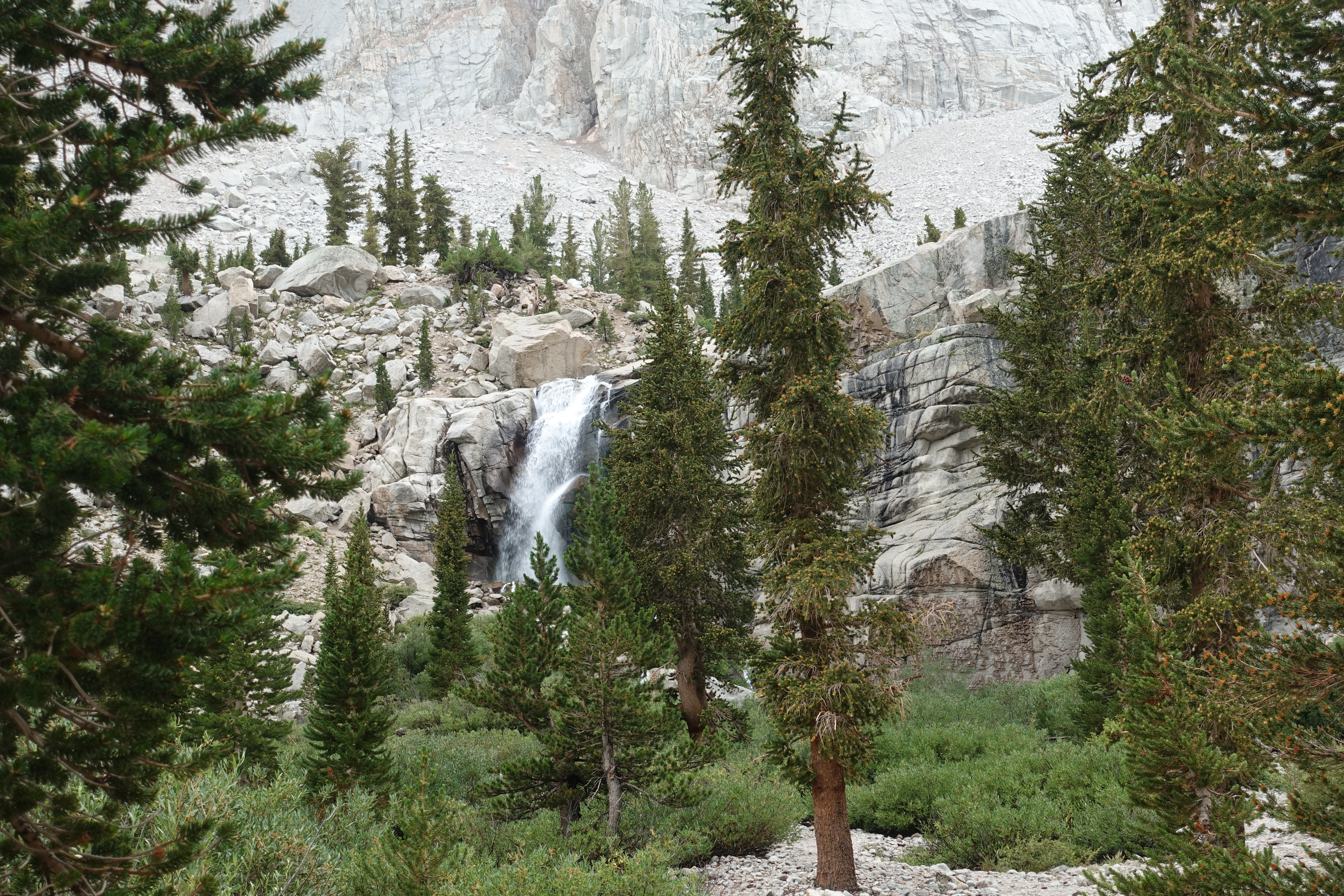
A waterfall like this would be a massive attraction in Southern CA. Here it doesn't even have a name.
15 I believe that's called Wotan's Throne. It's cool looking whatever it is.
16 
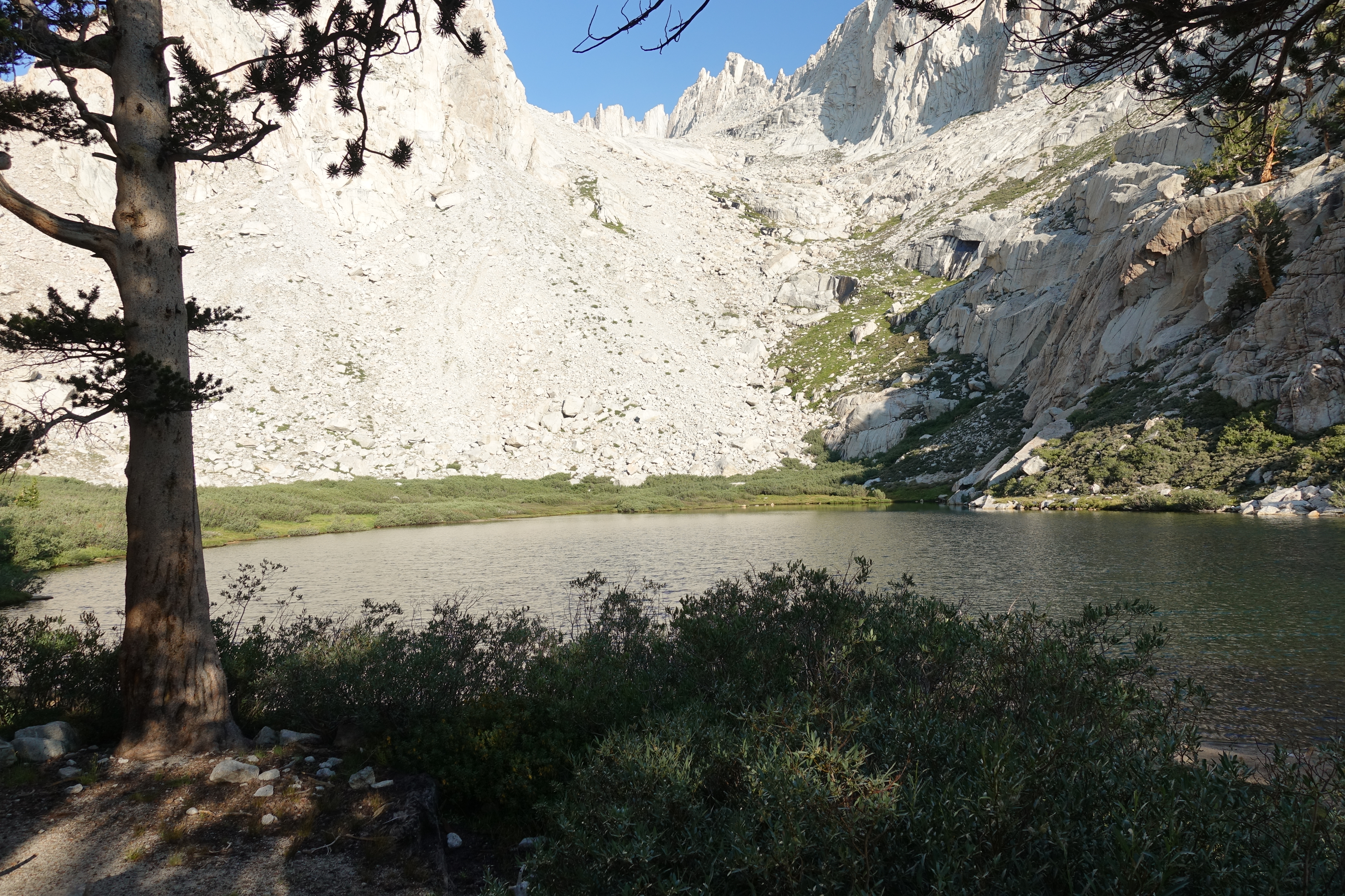
Mirror Lake. I didn't stay long and hoped to take more pictures on the way down when time hopefully wouldn't be an issue.
17 Trail Crest still high above.
18 
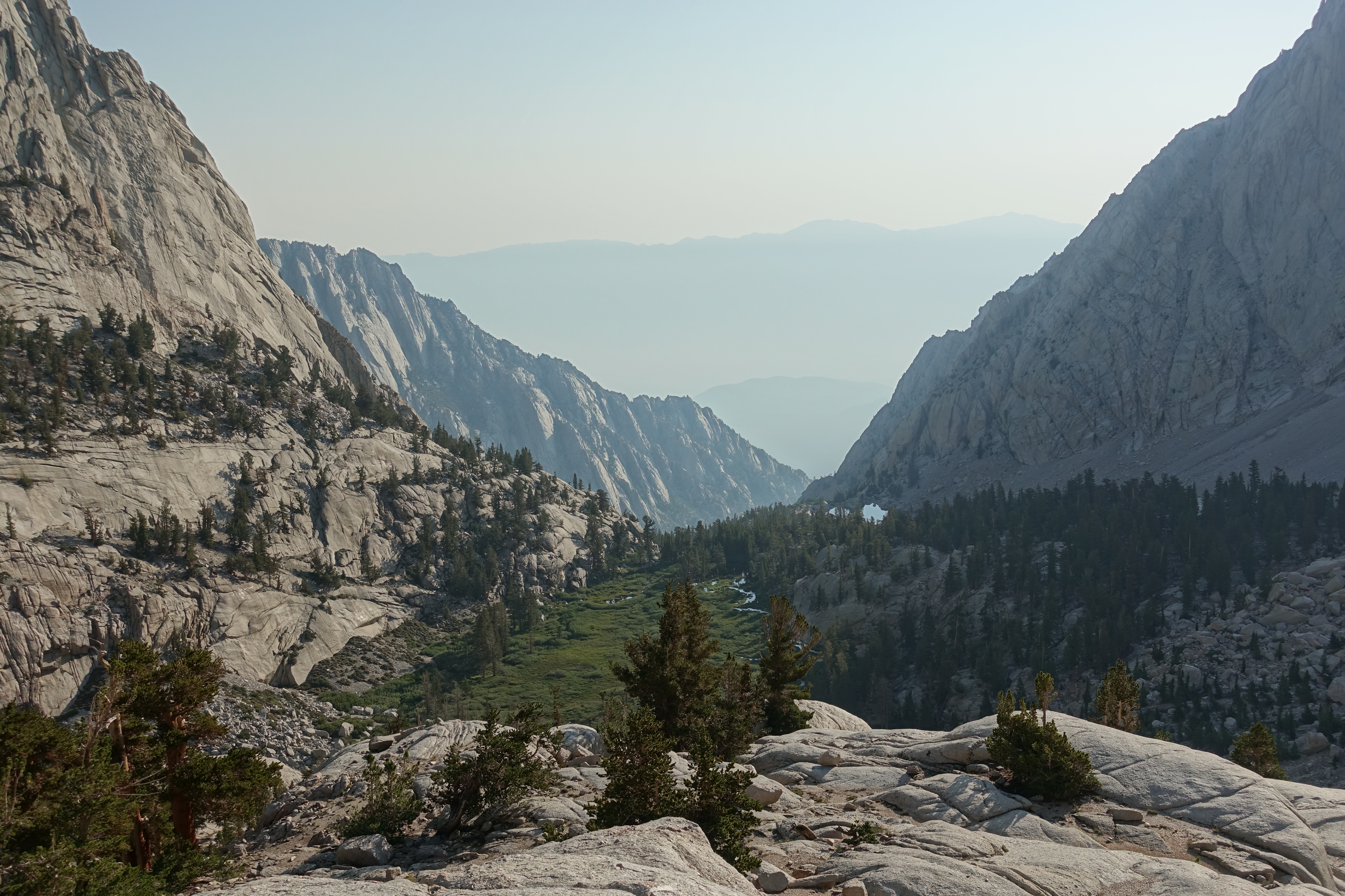
Looking down at Lone Pine Lake and the meadows now far below.
19 
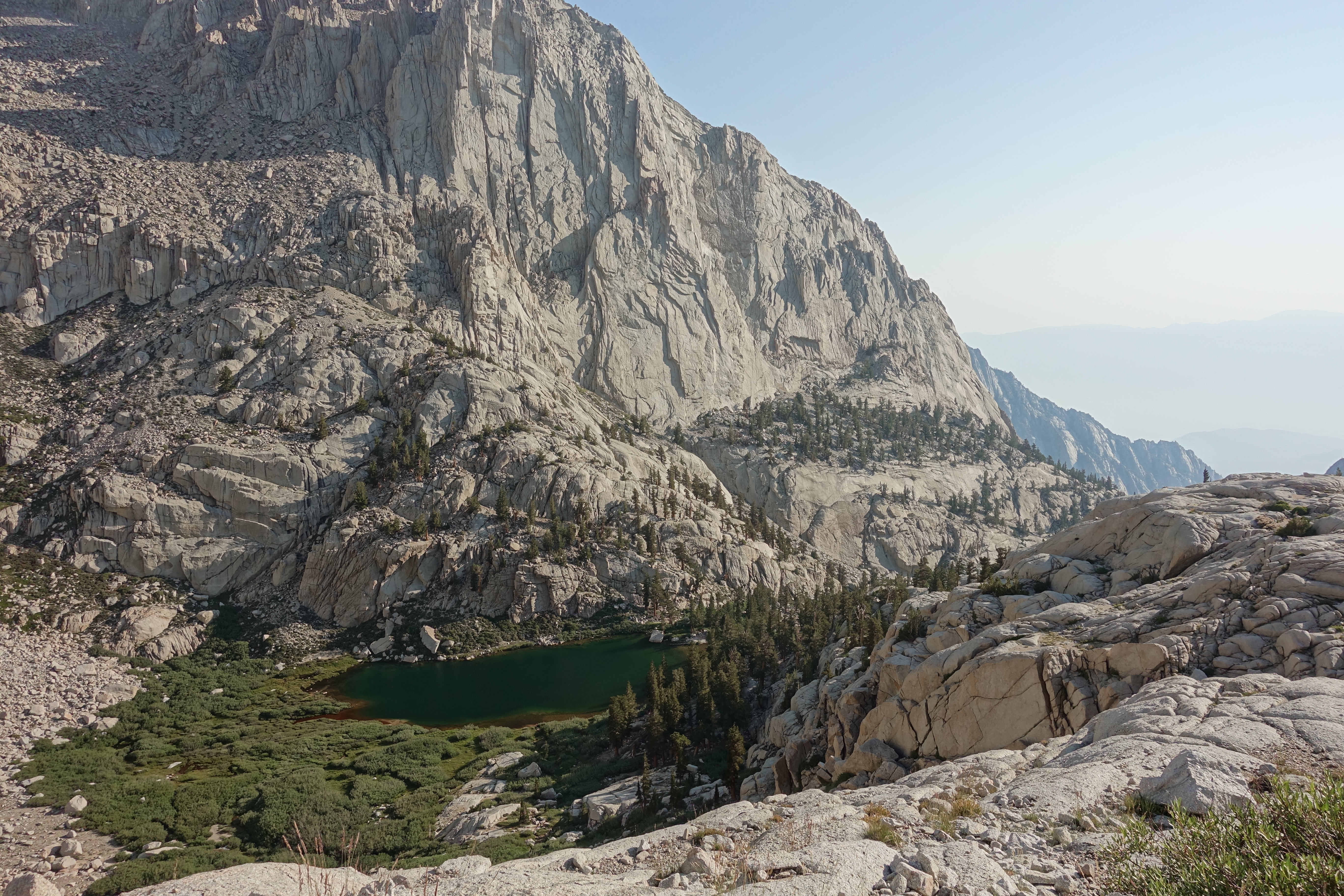
Looking down at Mirror Lake.
20 The cascades flowing below Trail Camp.
21 Looking down at the same cascades from higher up. Amazing how they flow right out of the granite.
22 First view of Consultation Lake, another epic glacial bowl lake.
23 Full view of Consultation Lake, a brilliant turquoise in the bright late morning sun.
24 Made it to Trail Camp at 12,000'. Despite many, many summits of the local Southern CA mountains, this is officially the higest altitude I've been at in 15 years. Despite having had zero aclimation, I'm feeling pretty good. Not only did I not do a practice hike at altitude the day before, I didn't sleep at altitude at Whitney Portal the night before, and I was at the lowest point in North America the day before. I was very curious to see how the climb to 14,000' would go. The switchbacks is where the altitude really hit me the first time I was up here.
25 Starting to climb the infamous 97 switchbacks, looking down at the little lake next to Trail Camp.
26 The rough, rugged steps make for slower going here. And there's water flowing like a river down the steps in several places. It must have really been raining hard up here recently. But there's still not a single cloud in the sky.
27 Still some good sized snow fields up here.
28 Always tough to tell slope in the pictures, but that's a steep drop that the railing is protecting against. Probably a treacherous traverse in the winter.
29 Now high above the lakes around Trail Camp.
30 Trail Crest still looks so far above. My fast pace has really slowed now on the switchbacks. Aside from being just a little light-headed, I'm not feeling any typical symptoms of the altitude. Particularly none of the naseau that shut me down the first time. But my energy level is unquestionably lower than normal. I clearly did not plan my pace well for this section, and I'm starting to fall behind schedule. And the stress of having to summit by a deadline isn't helping any.
31 Finally almost to Trail Crest. But I'm also starting to see big puffy clouds for the first time today. Looks like the storm is starting to move in.
32 Trail Crest at 13,600'. Hooray! But there are definitely darker clouds moving in from the West. There's a group of people here talking about whether to head on to the summit or not. It's after 10:30am, and I lost a lot of time on the switchbacks. There's still over 2 miles and 1,000' to go at high alittude, so I'm clearly not going to be on and off the summit by 11:00. Some backpackers said the storm didn't hit until noon the day before, so maybe I can still make it.
33 The view when you first hit the ridgeline is still just as awe inspiring as my first time here. Those are the Hitchcock Lakes 2,000' below.
34 The view Southeast from Trail Crest. I decide I'm not going to let weather stop my 24hr challenge if at all possible, so I make a mad dash to the summit. I basically ran from Trail Crest to the summit, blowing by people, and not stopping for a single picture. The trail here is rugged and narrow with steep drop-offs covered in snow patches, so there was a limit to how fast I could go even at full speed.
35 But I finally summitted around 11:40am! My temperature sensor had the temp at 43 degrees. My adrenaline must have still been flowing because I didn't even notice the cold in my shorts and t-shirt. I did get a lot of funny looks though from other folks that were in their heavy hiking gear.
36 Official summit marker. I have traditionally seen 14,494' as the elevation, but 14,505' seems to be all over the place now. I'm not sure what accounts for the difference, and the ranger at the visitor center didn't know either.
37 The famous cabin on the summit. I had successfully completed my makeshift 24hr challenge! I was at the lowest point in the US yesterday at around 12:30pm and then at the highest point (outside Alaska) at 11:40am today.
38 The sign in the cabin doesn't give me much confidence in staying on the summit for long. The dark clouds are already coming in, thunder in the distance has already started, and the first drops of rain are starting.
39 Looking East towards the White Mountains. There's a hazy layer of smoke down below from the big Ferguson Fire, but fortunately it's clear up here and air quality hasn't been an issue.
40 Another summit view with a huge bowl lake in the distance.
41 Looking down the Trail Crest ridgeline.
42 360 summit video from the highest point in the contiguous US.
43 One last summit view. The thunder is starting to sound close and the occasional drop of rain is getting more frequent. I've been on top for about 20 minutes, and I decide it's time to head down right at noon.
44 Since I hadn't taken any pictures along Trail Crest on the way up, I was hoping to get some on the way down.
45 A look at some of the rocky trail with patches of snow that I flew-up earlier.
46 I got one last picture at around 12:20pm, and then all hell broke lose. Wow the storm moved in fast! The light rain turned into pounding rain, which turned into stinging hail. The thunder was right on top of us, and I watched a huge lighting streak hit granite on the ridgeline across the valley. I had to stow the camera away and didn't get another picture for almost 3 hours. Going down the switchbacks was miserable. It was slow going as the rock steps were just a stream of water. I had no heavy gear with me, just a wind shell, sweats, and my non-waterproof trail running shoes. I was soaked from head to toe, and with the temps in the low 40s, I was freezing. Since I wasn't generating much heat going downhill, I was starting to get worried that I was getting dangerously cold. I had intentionally packed light for speed and gambled on being off the ridge before the storm hit. I lost the gamble.
47 I didn't feel comfortable again until I was down below 12,000'. The storm had mostly passed, I was starting to warm-up a little, and my confidence was returning. Here I'm finally almost back to Mirror Lake.
48 Now that I didn't have to worry about time on the way down, I hung out for a little while at the edge of Mirror Lake.
49 Cruising through Bighorn Park. There's still a light rain, but the temperature is back up into the 50s, and I'm feeling a whole lot more comfortable.
50 Almost back down to Lone Pine Lake.
51 I took the detour out to Lone Pine Lake, which I hadn't done on the way up. It's a beautiful little lake hanging on the edge of the granite.
52 Finally, almost down to the bottom, looking back up the canyon. It was still dark when I was here in the morning. The last few miles of this trail are definitely a grind.
53 Back at the trailhead at long last. Someone happened to be sitting there and offered to snap a photo. End to a long day, but mission complete!