12/1/14 Another long, adventurous drive. This time to Ordesa y Monte Perdido National Park on the Spanish side of the Pyrenees. Probably one of my all-time favorite trail runs.
1 
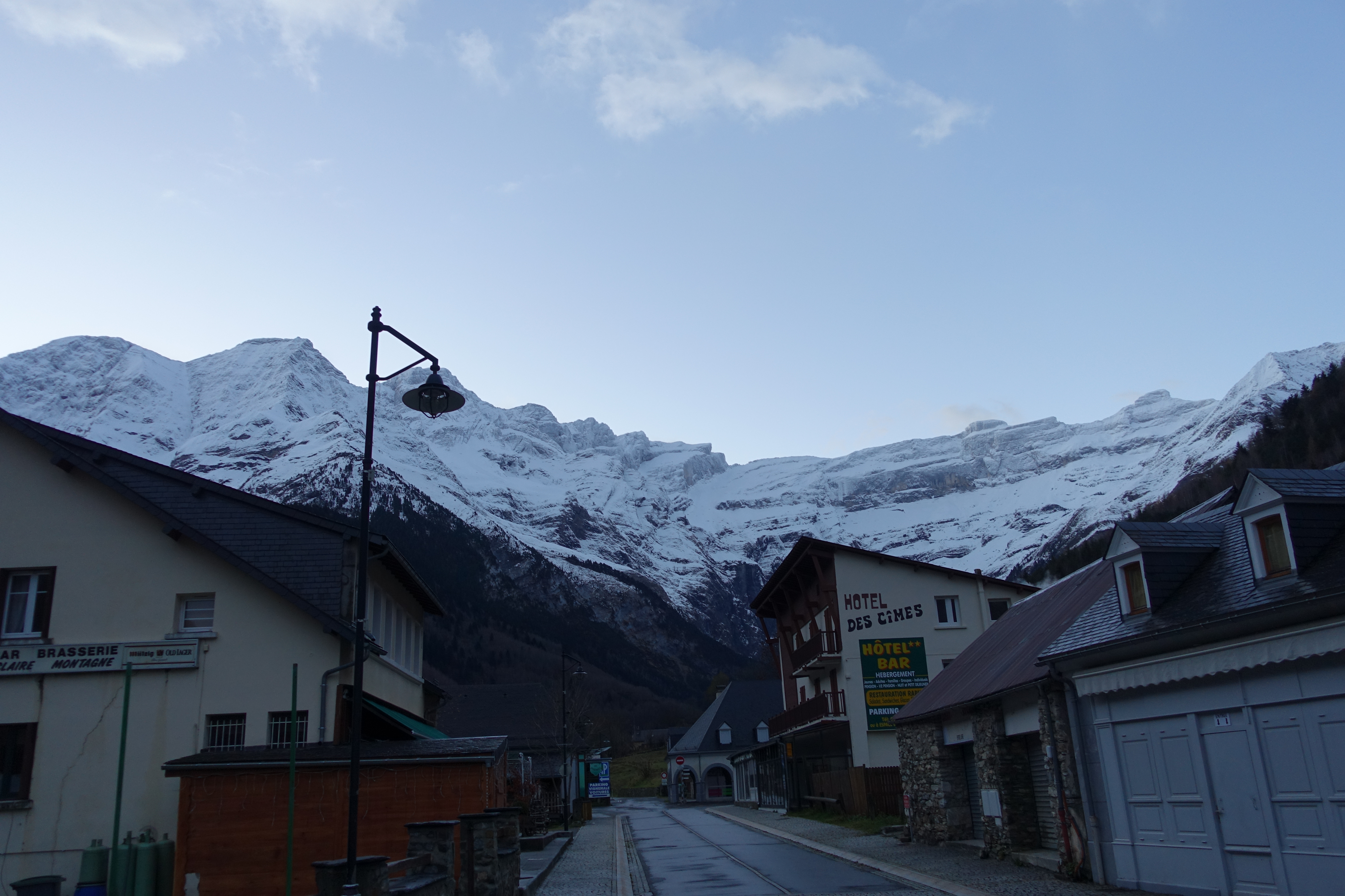
A clear morning meant finally a chance for some pictures of the Cirque de Gavarnie. Here’s a view from the village. Lots of fresh snow from overnight
2 
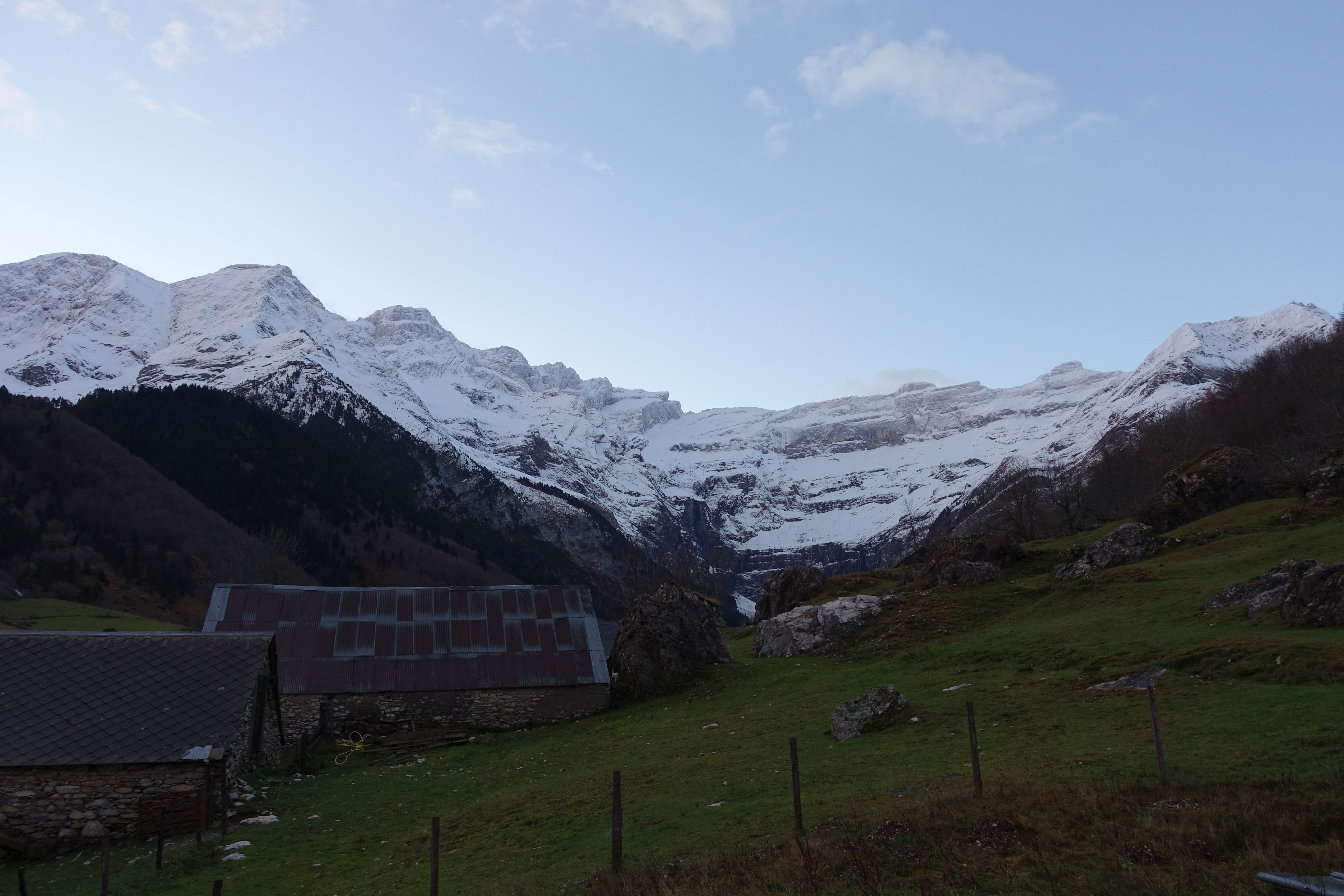
One more look a little closer to the cirque. There’s a trail that goes along the valley floor deep into the cirque. I’ll have to do that next time. You can see the vertical groove where the Grande Cascade de Gavarnie (Gavarnie Falls) normally flows when it’s not frozen. At 422m (1,385'), it's the tallest waterfall in mainland Europe (excluding Scandinavia).
3 
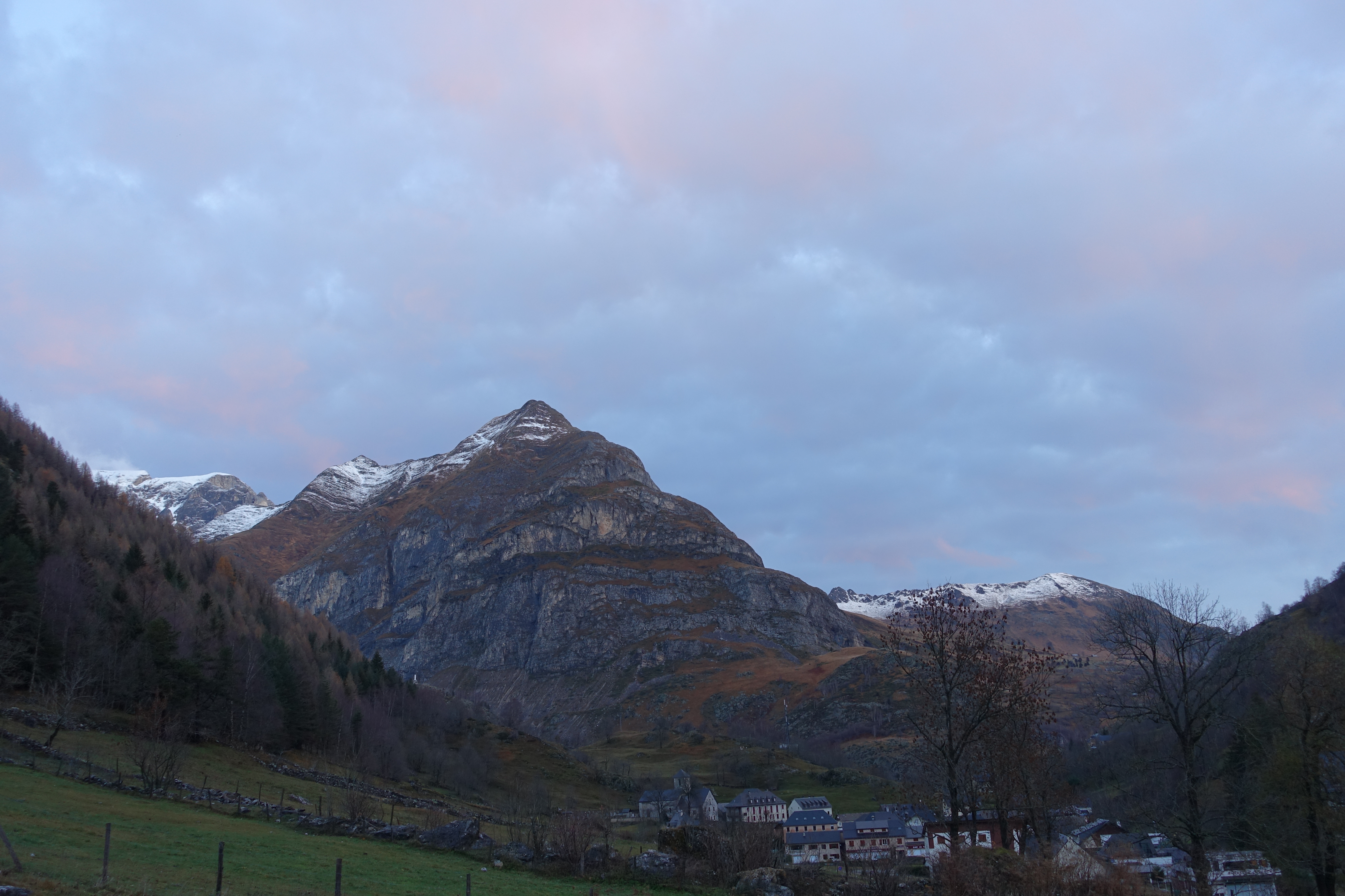
A view looking the other direction past the village. The browns of Fall were beautiful and definitely a different color palette than SoCal or the Sierras.
4 
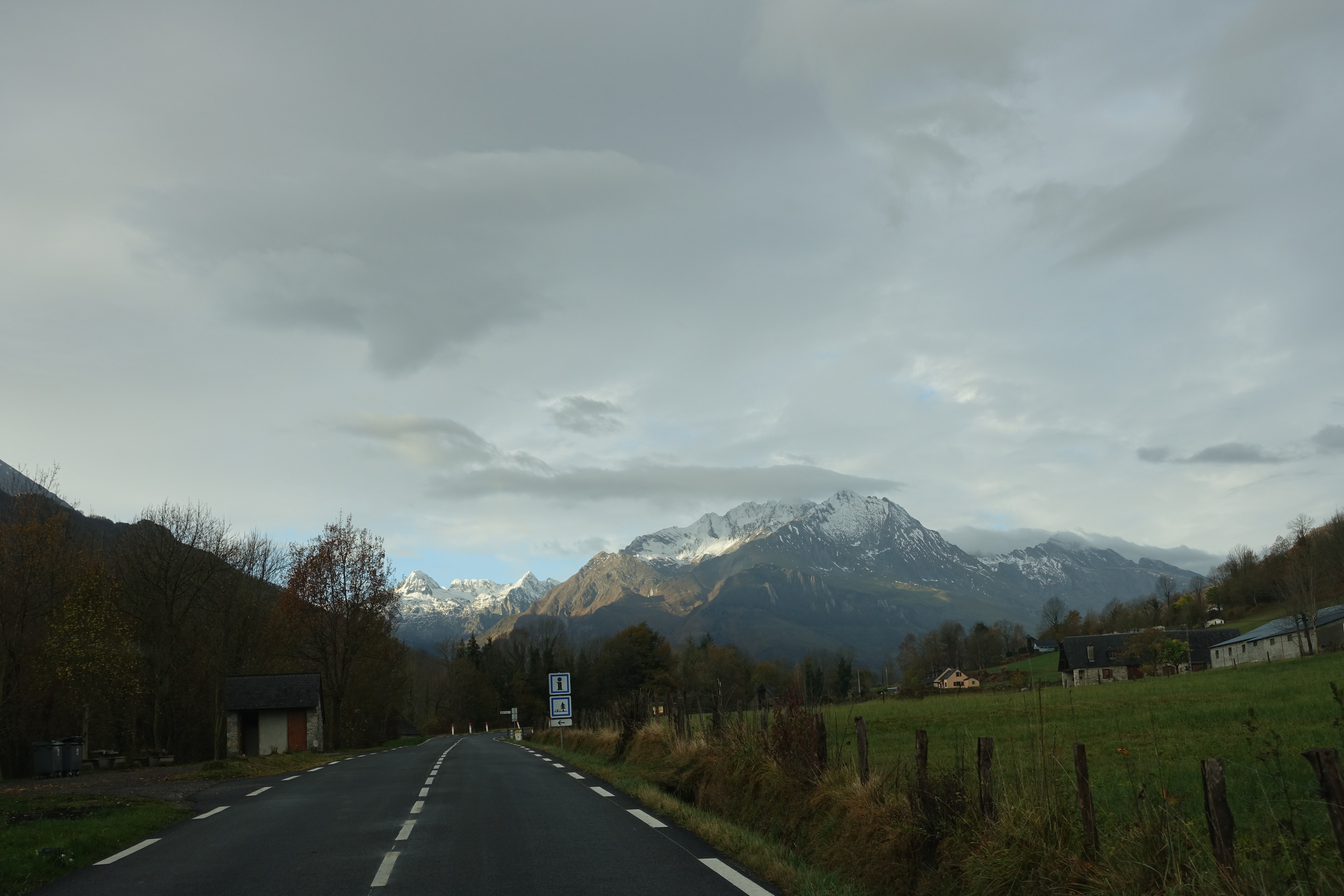
Heading out of town on my way to Ordesa. The drive took me down and out of the Pyrenees and into France towards Toulouse before returning up and over the Pyrenees. There were two options for the drive. A much longer route on bigger roads, or a shorter route through the mountains on smaller roads. I opted for the faster route so I could have more time on the trail. Not such a good idea. I quickly learned that what looks like a major highway on the map is really a two lane road. And what looks like a little road is actually a back alley in the middle of nowhere. It was a beautiful drive through the French countryside though.
5 
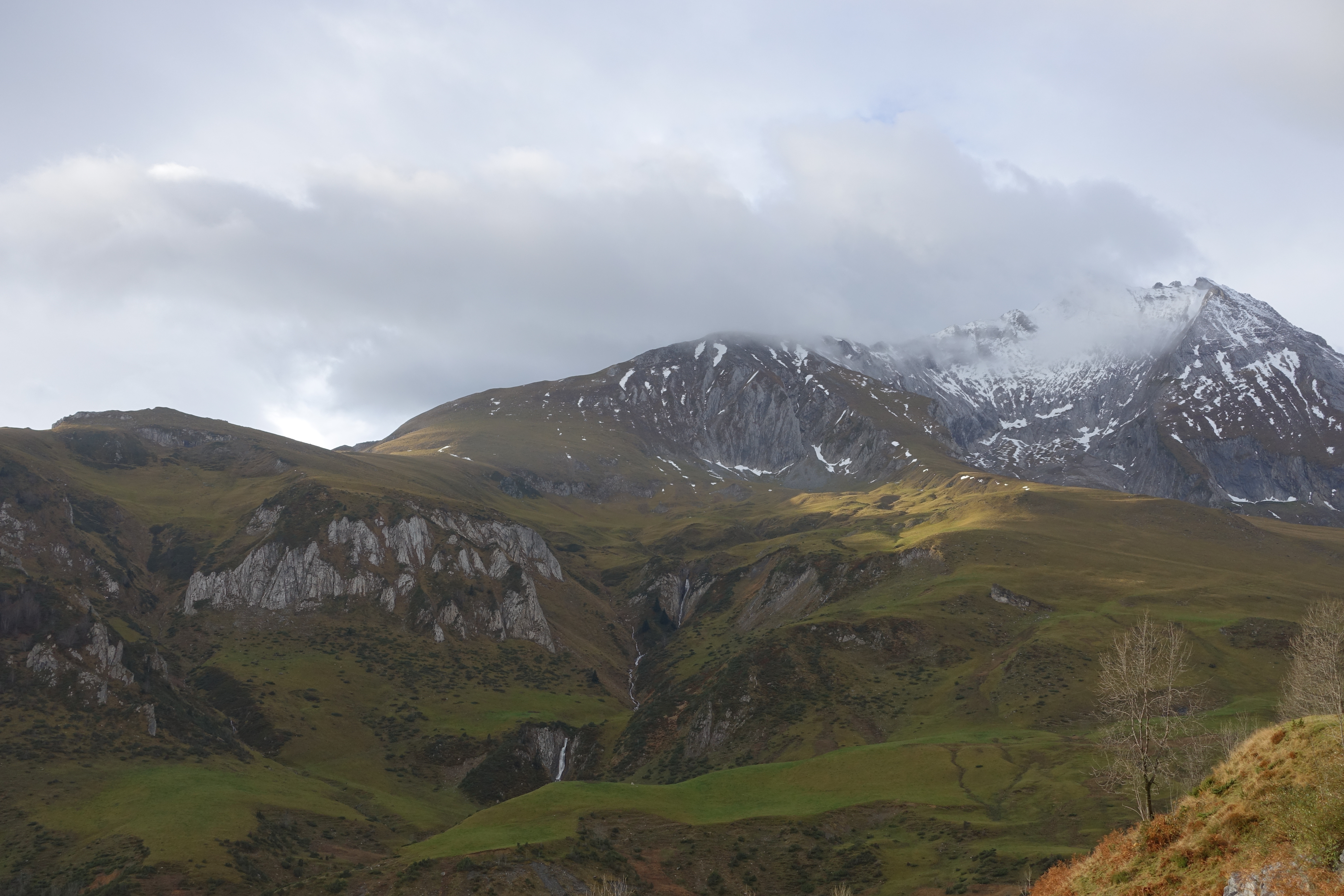
Gorgeous drive. Also one of the most narrow, twisty roads I have ever been on. With intermittent fog and rain to make it even more interesting. The road here is part of the Tour de France route.
6 
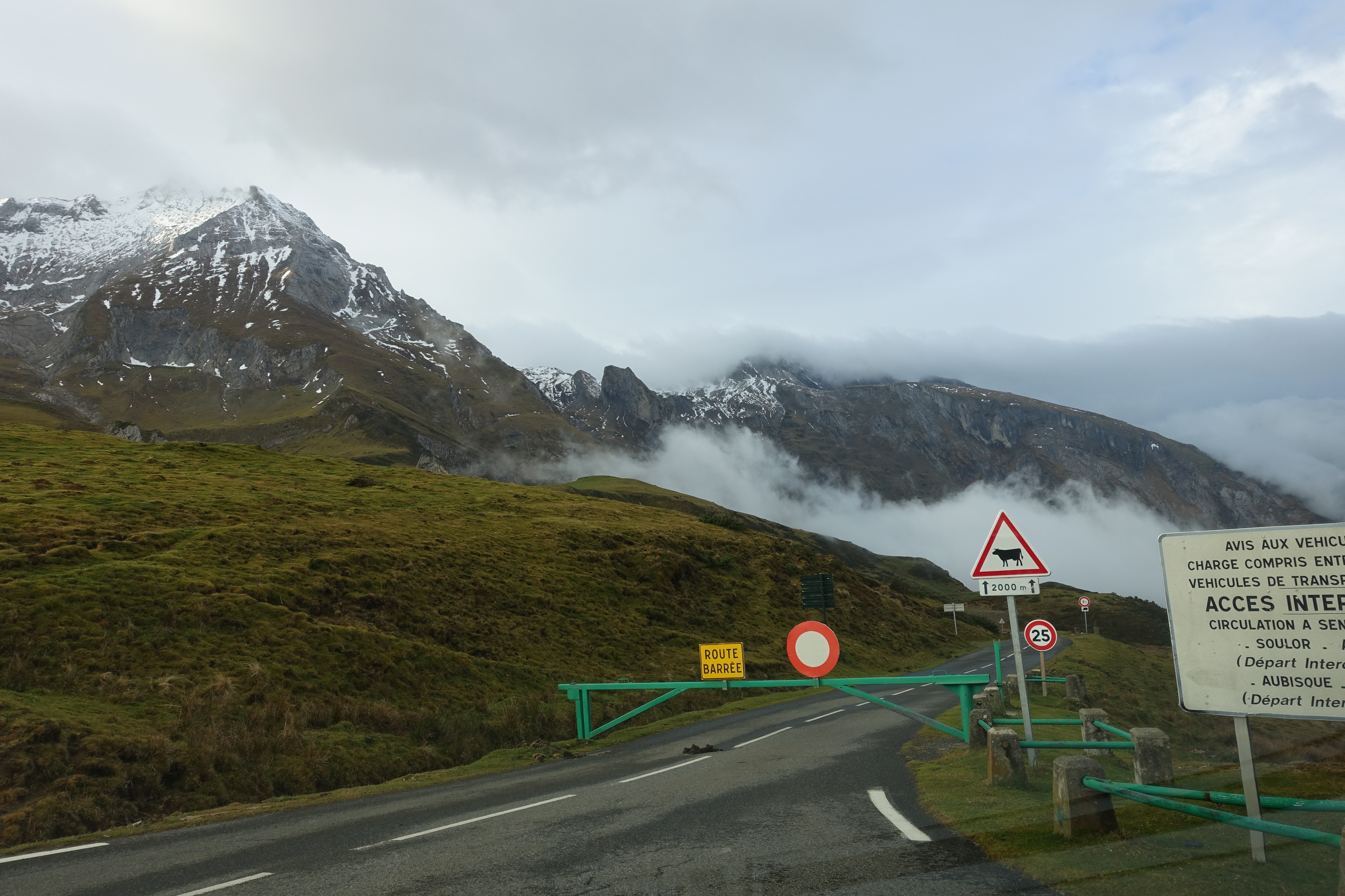
After driving almost 45min up the narrow mountain road in the fog and rain, I hit a dead-end. The road is closed. What the hell?!?! The only other option on the map went way off in the wrong direction. I had no choice but to drive 45min back and then take the long route around the mountains. I was not a happy camper.
7 
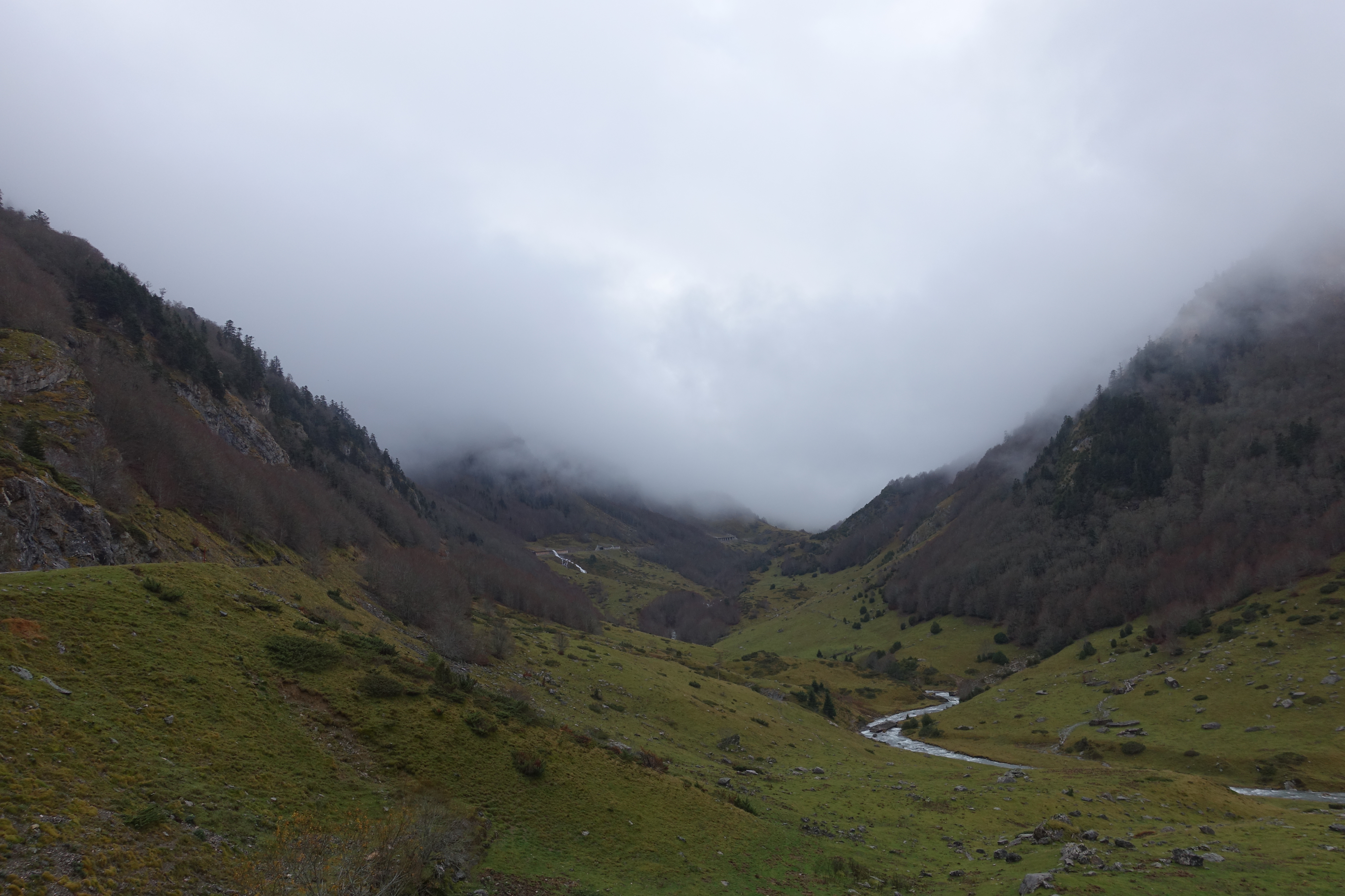
Even though I was way behind schedule, the beautiful drive kept my spirits up. It rained most of the way, and snowed in some areas.
8 
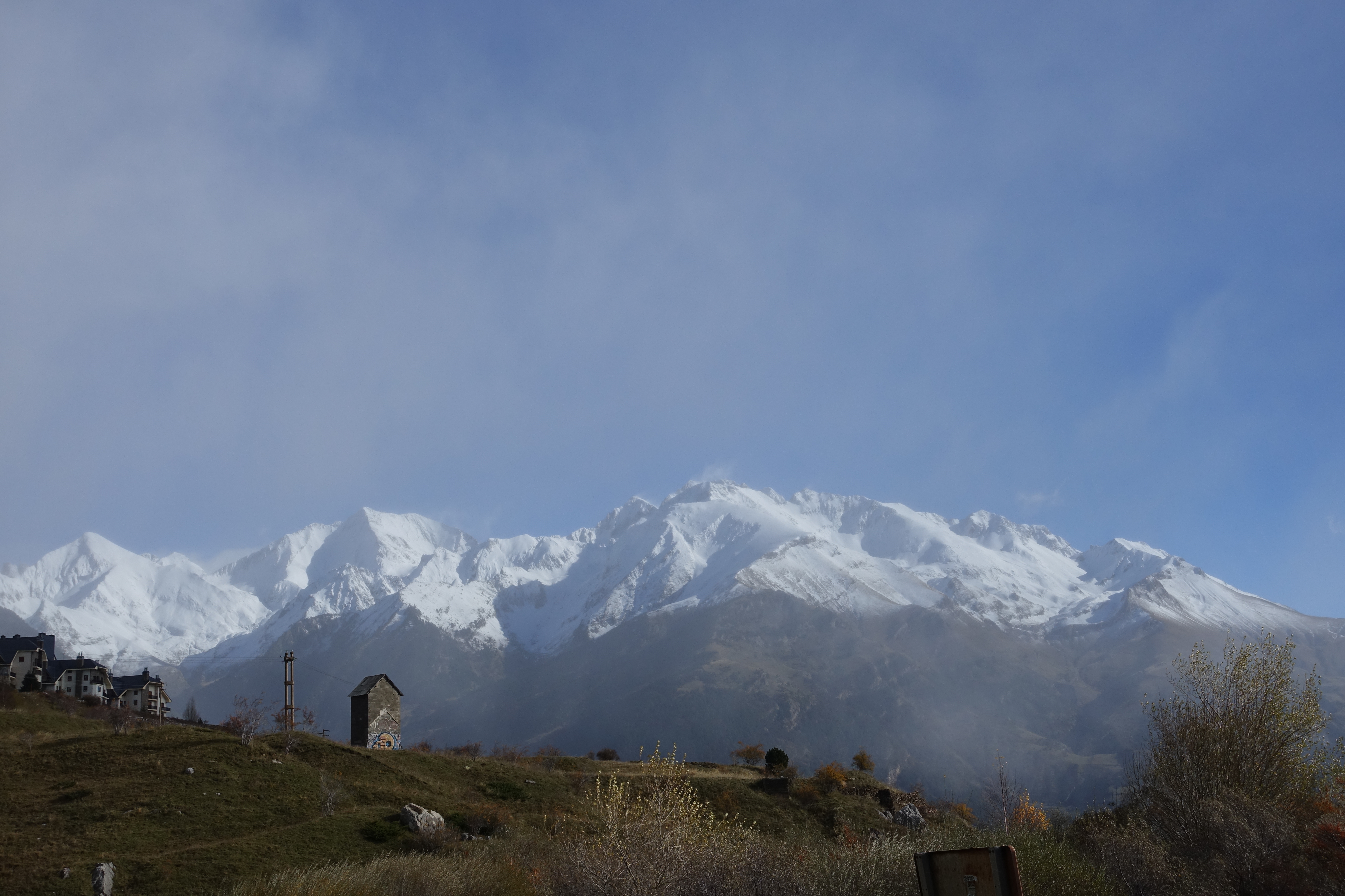
Fresh powder on the Pyrenees. I think I could handle living here in the South of France.
9 After an almost 5 hour drive (that was supposed to be 3 1/2), I finally made it into Ordesa canyon. The final few miles from Torla were particularly narrow and curvy. At least it looked like I would have fairly clear skies on the trail today.
10 
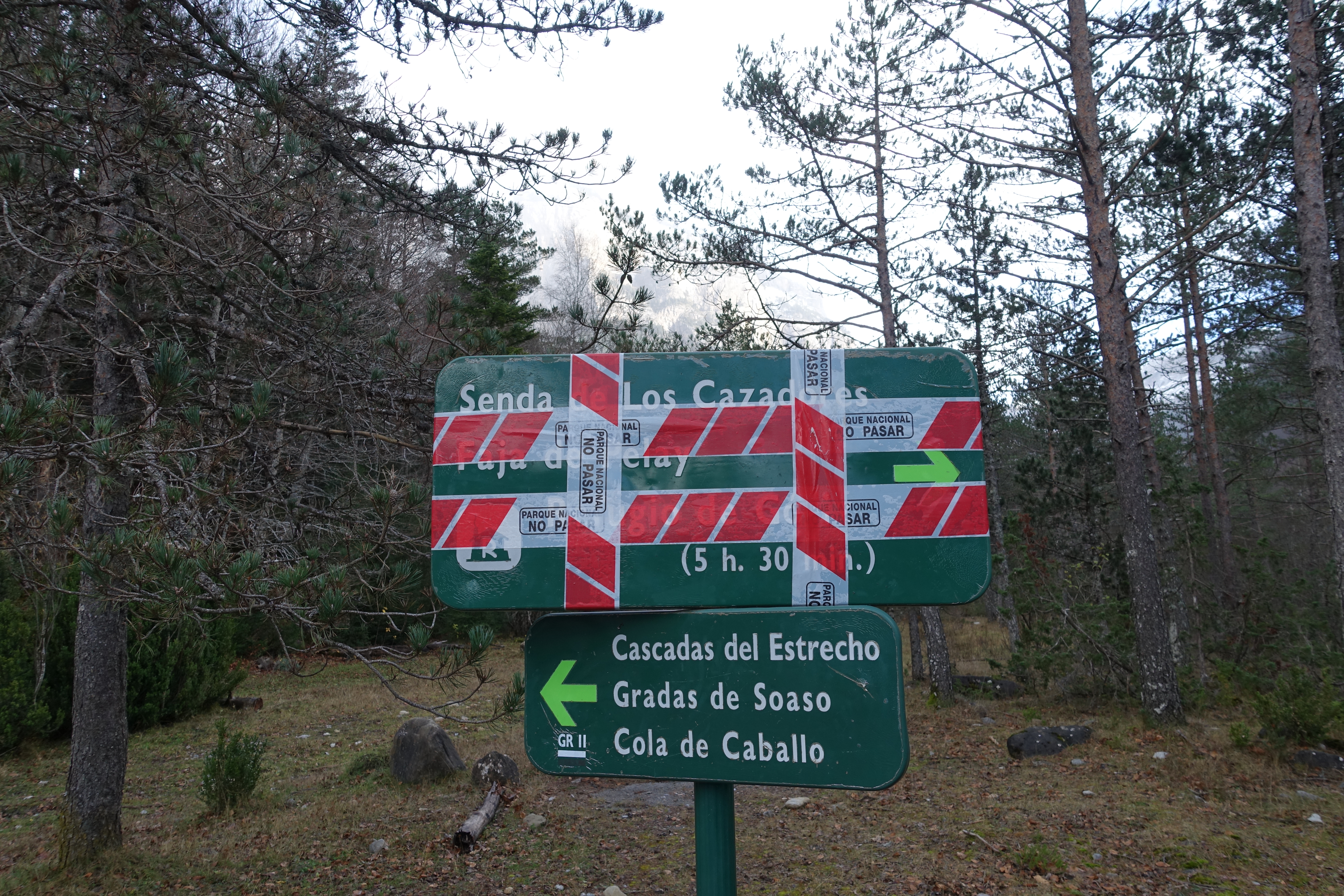
My first trail choice for the day was Faja de las Flores. But I did not have the right equipment for it, and it’s pushing what I would be comfortable doing solo (you can check out some pictures here). So my second choice was Faja de Pelay. The whole long drive I had been looking forward to it and calculating whether or not I still had time to complete the 21km (13 mile) loop. After finally arriving at the trailhead, the trail was closed. What the hell?!?! Were the trail gods trying to send me a message today? Maybe it’s not really closed though, so I head up the trail.
11 
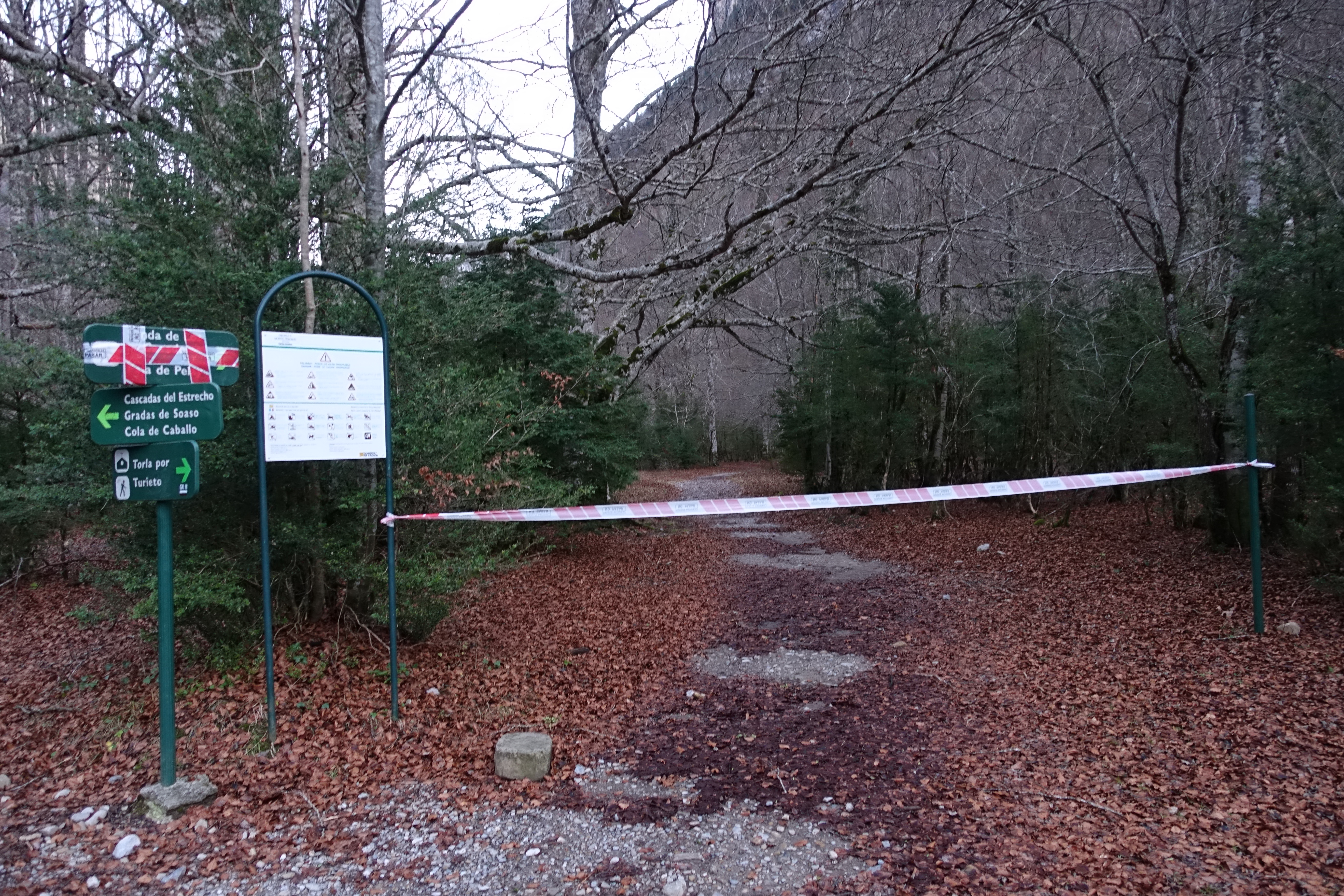
No, that definitely looks closed. The Faja trails here follow narrow ledges along the cliff walls with drops of thousands of feet. I realize now that this one is well above the snow line and is probably closed for the season. So I decide on option three... Faja de Racón. It turned out to be perfect for the day.
12 
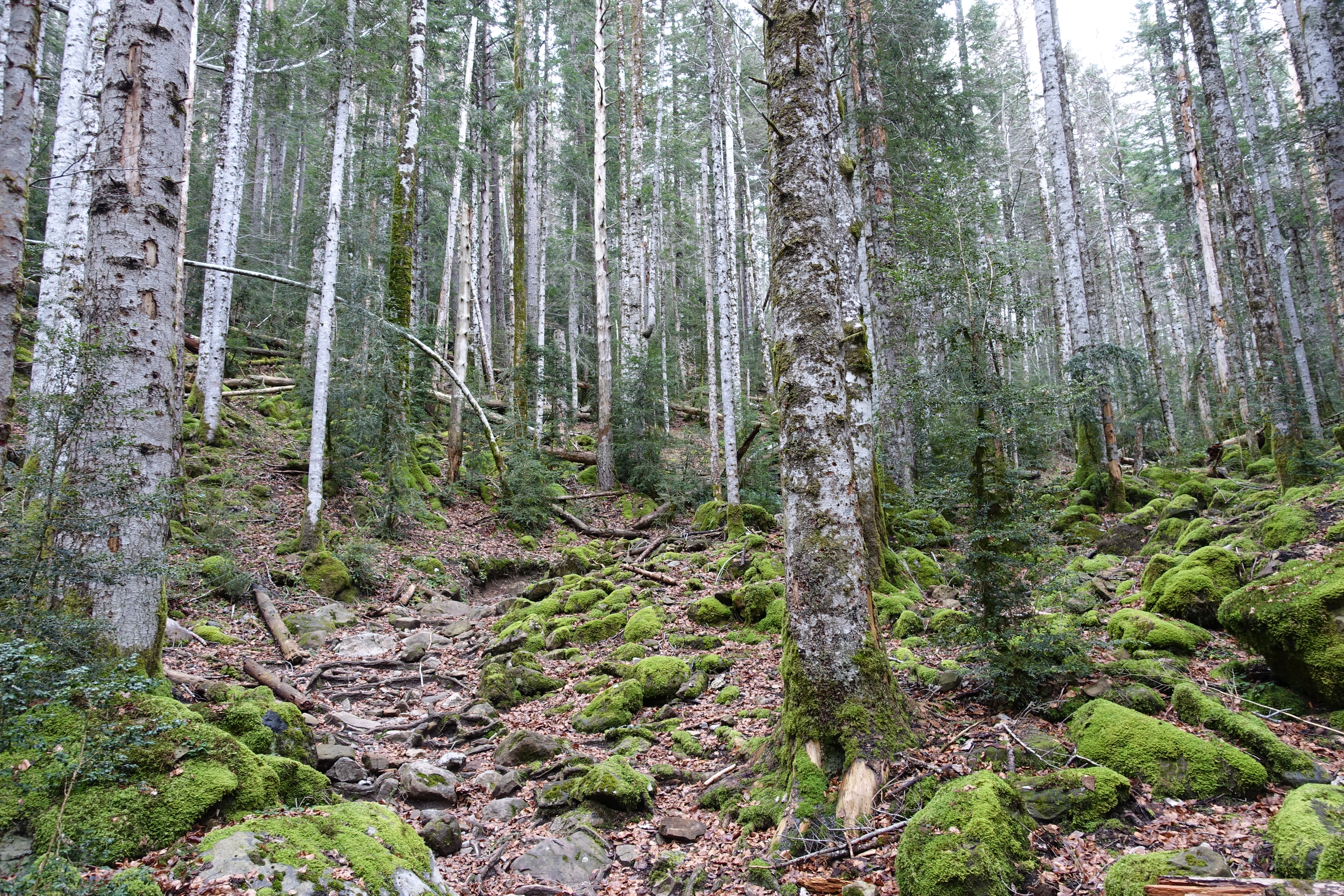
On the Faja de Racón trail climbing steeply through a beautiful Birch forest.
13 
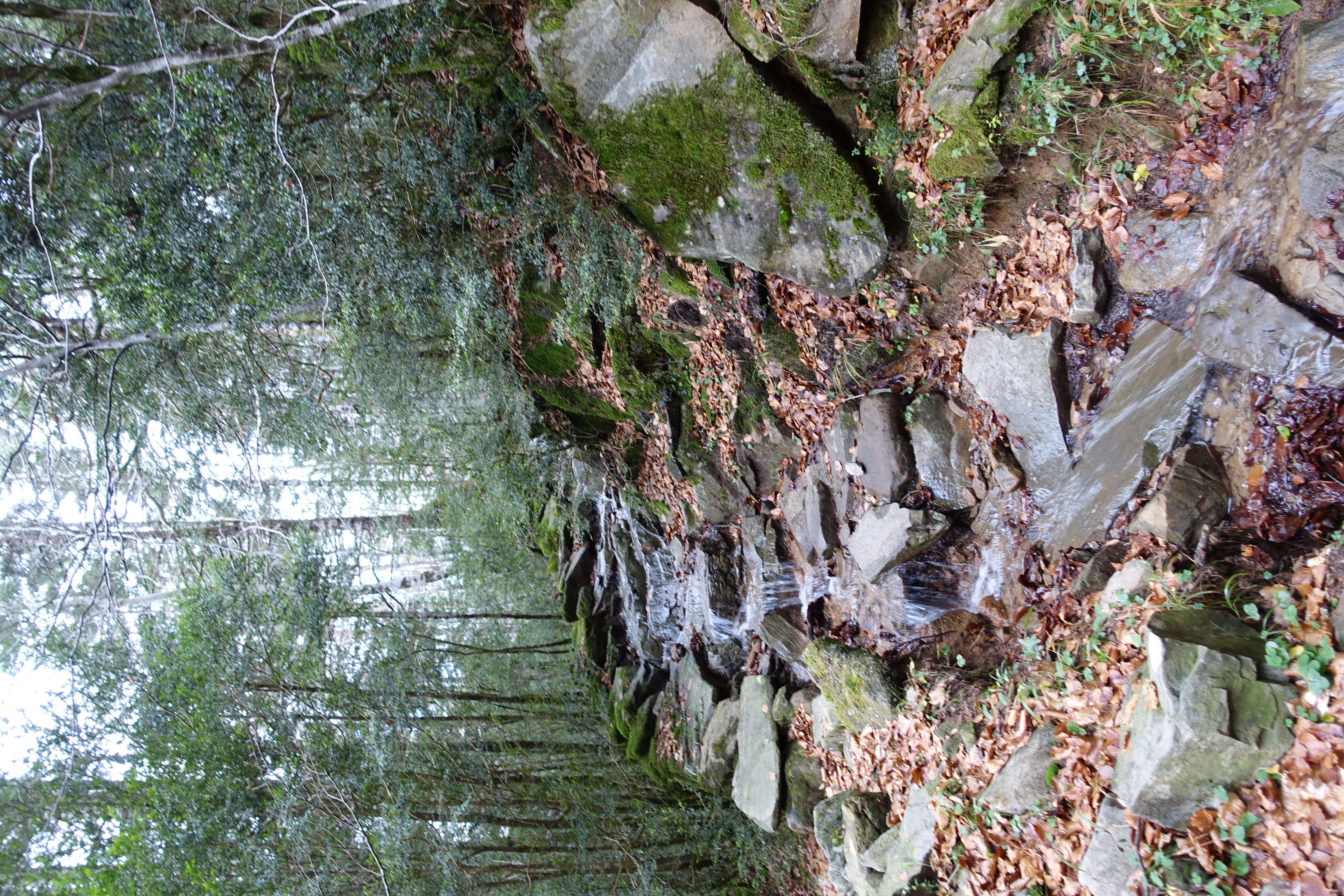
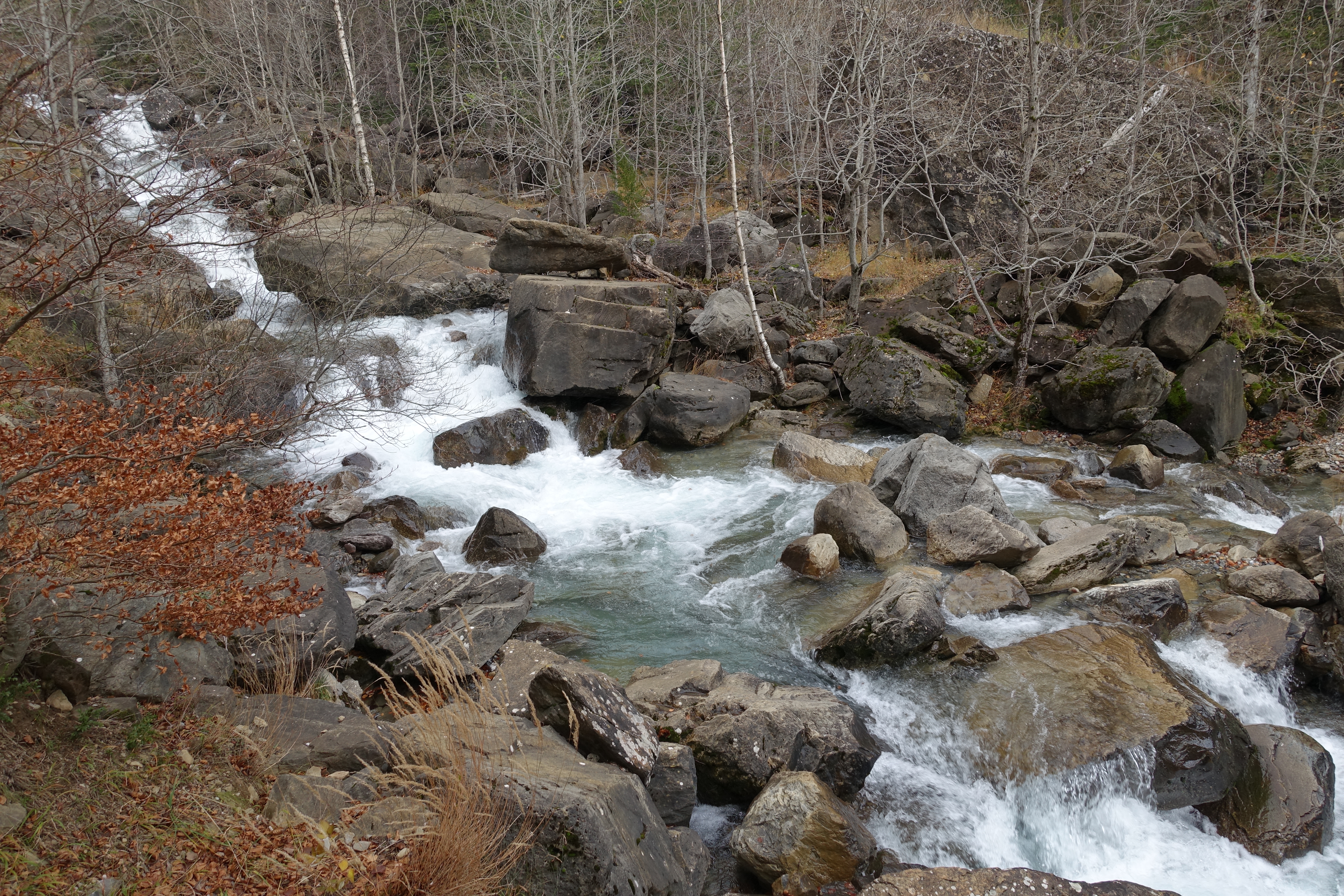
Any hopes of a clear day are over as the rain starts to pickup again. As with Gavarnie, there are no culverts, and the trails quickly turn into cascades. Which of course makes them even more fun!
14 The deep earthy brown colors are a much different look than the grays of the Sierras. I absolutely loved the colors here.
15 
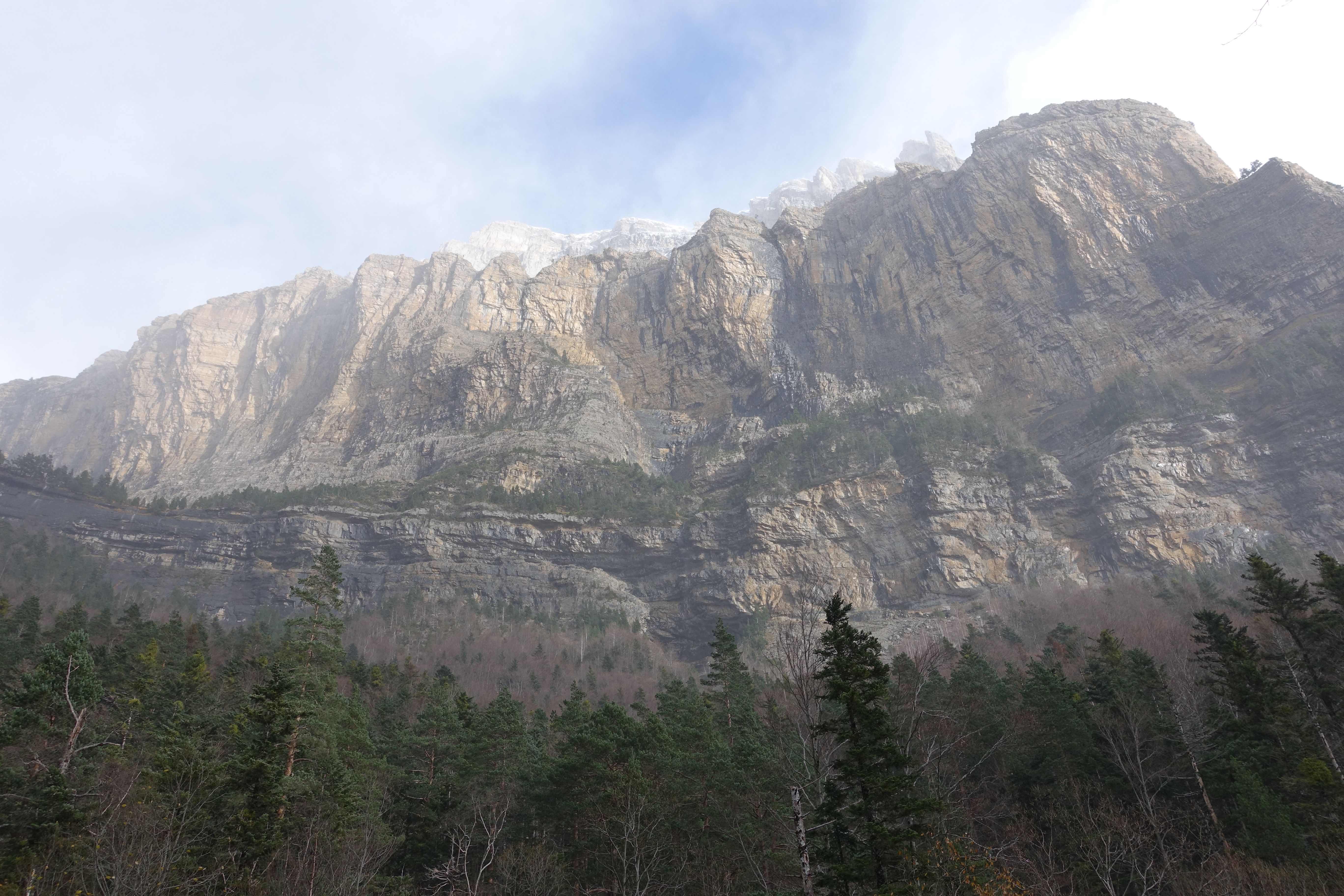
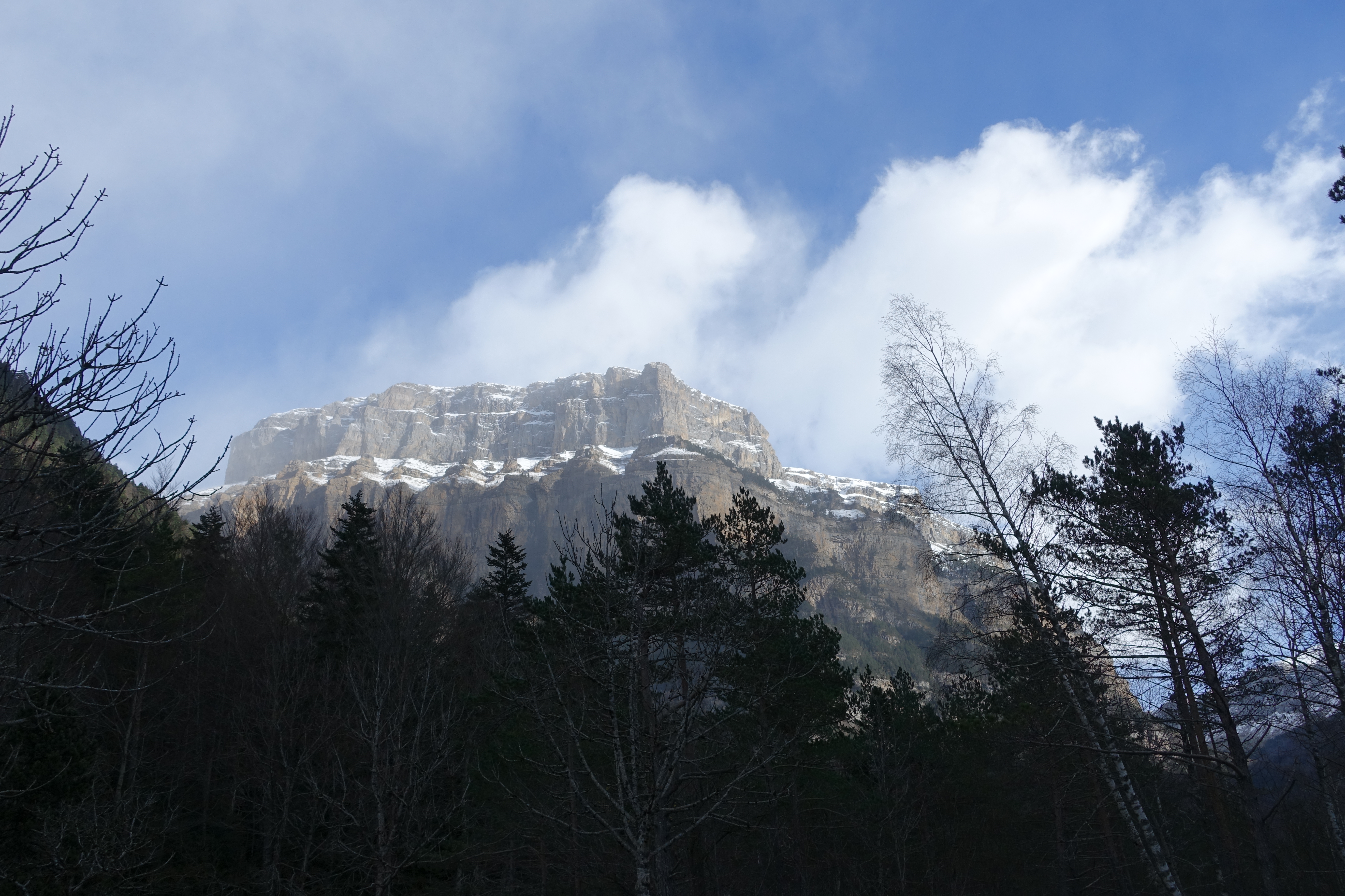
A closer look at the canyon walls. The Valle de Ordesa is like a cross between Yosemite and a mini Grand Canyon. The canyon is about 11km (7 miles) long and over 1,000m (3,300') deep. It goes down as one of my all-time favorite trail spots so far.
16 
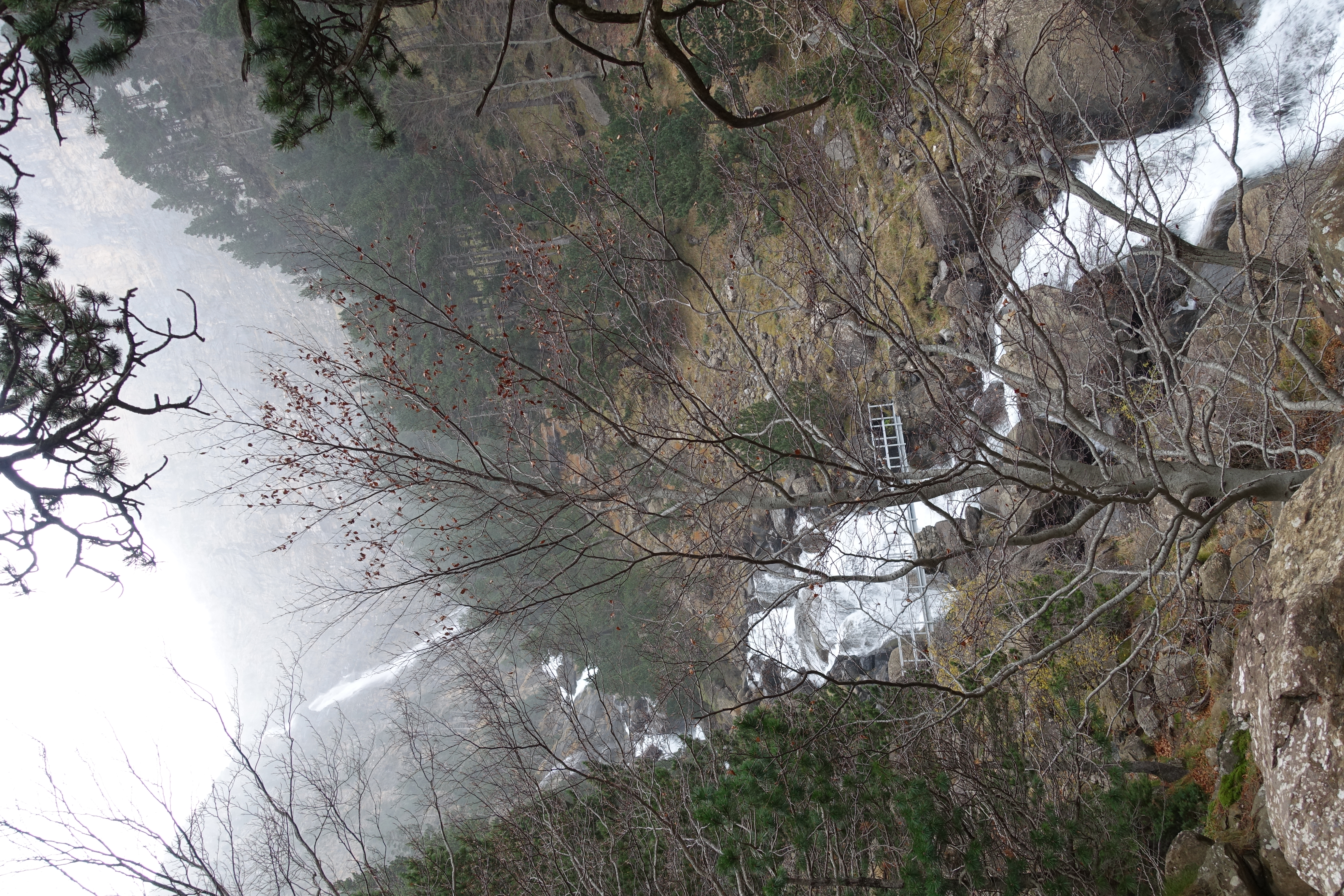
La Cascada de Cotatuero, an impressive waterfall and cascade that dominates the Northern side of the canyon.
17 
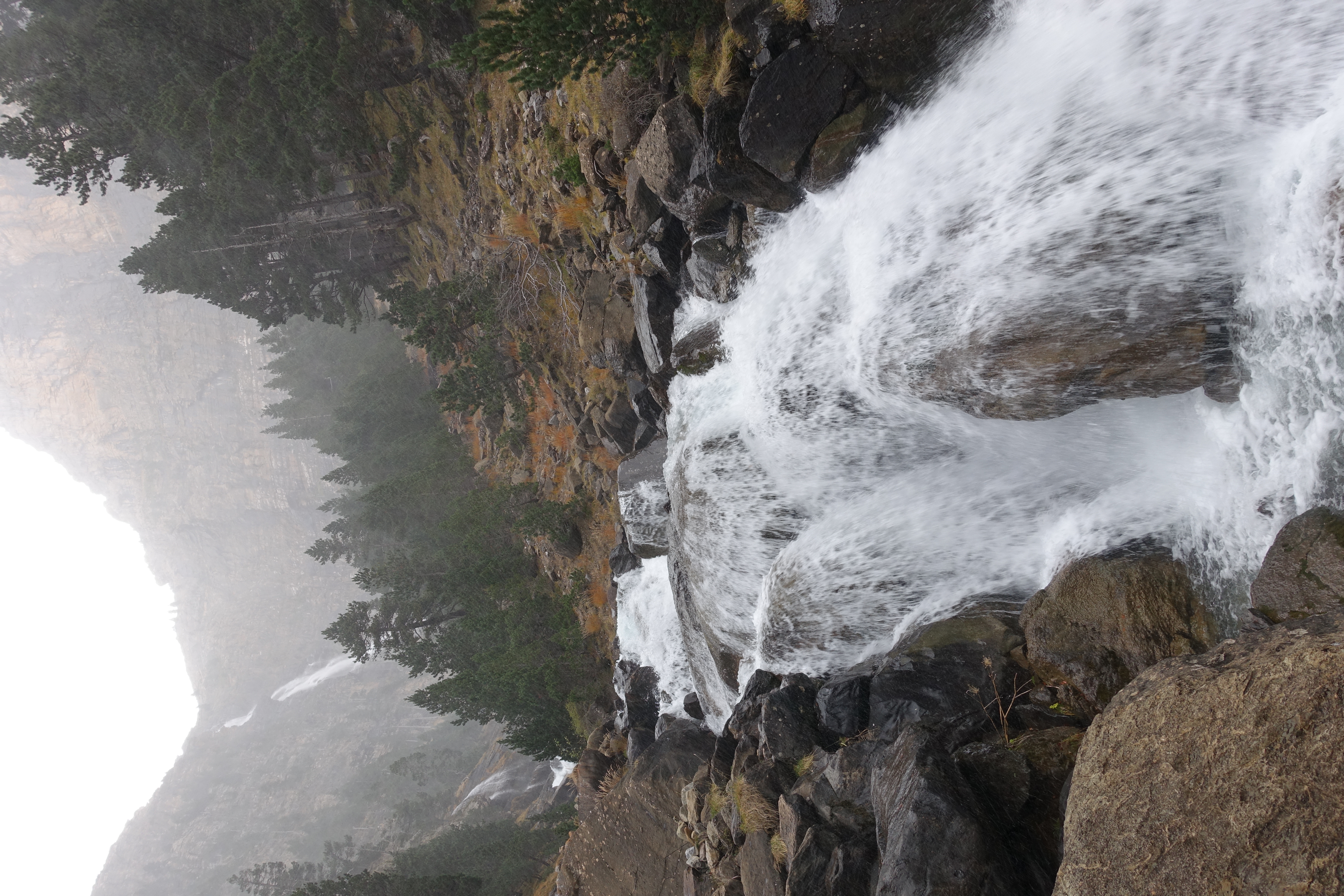
A little closer view of La Cascada.
18 You always get a better feel of a waterfall with video. You can also see a light snow starting to swirl around.
For best performance, you can view the video on YouTube.
19 
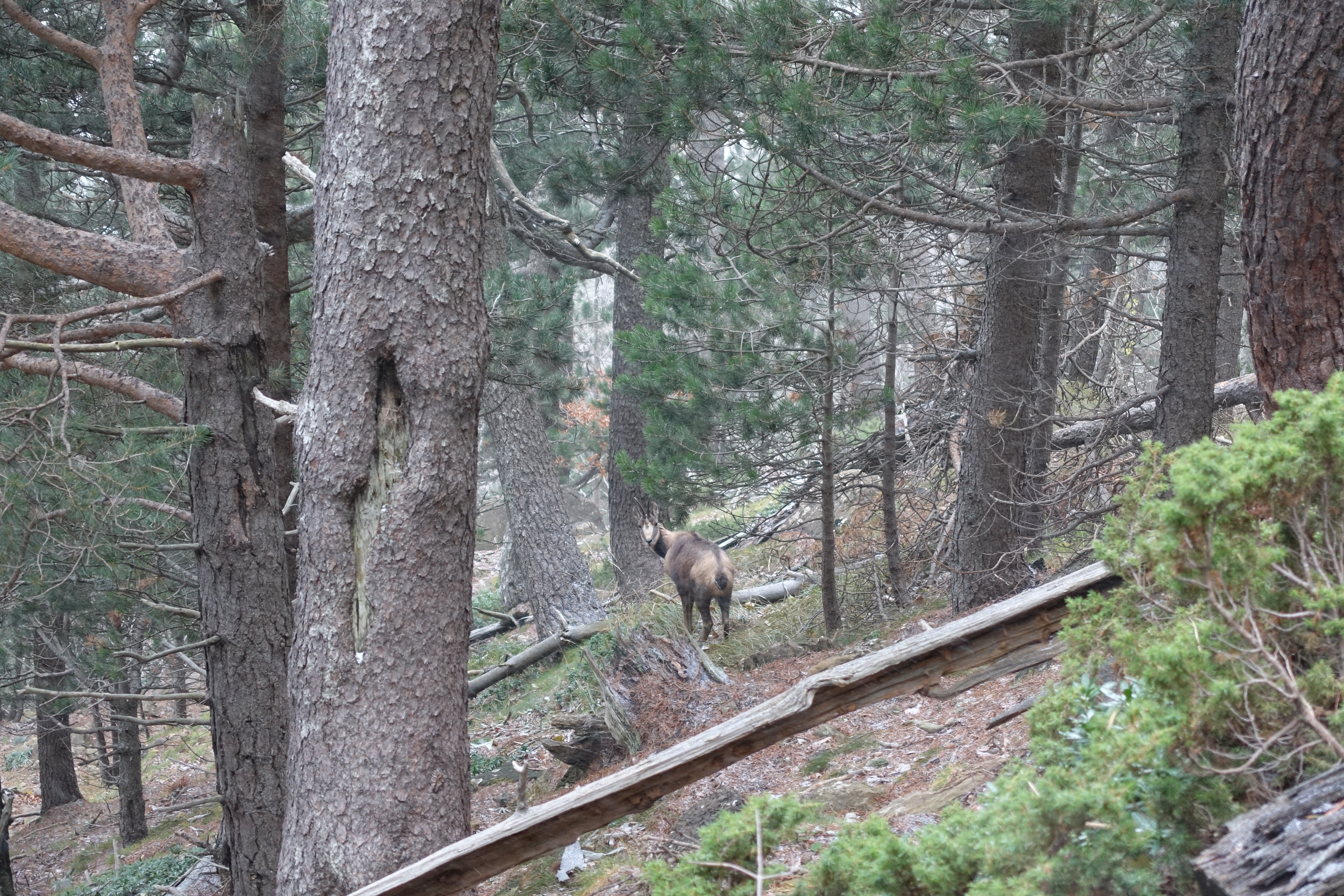
My first encounter with a Chamois. It’s a goat or antelope sort of species common in the Pyrenees. They were evidently once hunted to near extinction (for their chamois hides that you dry your car with). But now they’re protected and making a resurgence.
20 The canyon walls are amazing, but unfortunately barely visible in the fog. What was once a light rain is now becoming snow.
21 The trail along the faja. It’s narrow with steep dropoffs. Not the place to be if you’re afraid of heights.
22 Another look at the trail along the faja.
23 Slick wet rock, only a couple of feet wide. A slip here could be bad.
24 Looking back at the top of La Cascada de Catatuero. You can see the trail along the faja in the lower-left. I only wish the visibility was a little better.
25 I’m not sure what kind of plant this is, but it’s prevalent in the area, and pretty cool looking. It looks almost like grass, but it’s actually a dense bush.
26 The trail winding under an overhanging cliff. Injuries from falling rock are evidently pretty common here. There's a near constant drip of water onto the trail falling from the cliff above.
27 I’m not sure the name of this waterfall, but it’s probably a few hundred meters tall. It fades almost entirely to mist and then collects again on the way down. It was one of my favorite spots on the trail.
28 The trail walks right across the base of the falls.
29 Video of the falls.
For best performance, you can view the video on YouTube.
30 A look back at the misty but very tall falls.
31 The trail turns a corner and opens up to a massively expansive view, which I believe is called the Gallinero. The picture just doesn’t do it justice.
32 Multiple cascades running down the cliff face.
33 Closer look at the cascades.
34 Panorama of las paredes del Gallinero.
35 At this point, it's starting to snow pretty hard. The snow isn’t really sticking but it makes visibility tough.
For best performance, you can view the video on YouTube.
36 A refugi along the trail. The trail is now dropping elevation really fast. I had thought this was an out-and-back trail, so I’m getting worried about having to turnaround and climb back up this steep drop. I kept debating how much longer to keep dropping. Eventually, I figured it must be heading to the valley floor, so I just went with the flow.
37 The descent was beautiful single track through mossy forest with a deep bed of bright red and orange leaves. It reminded me a bit of Olympic National Park. And it was the best ‘E’ ticket trail ride I’ve had in a while, very steep and technical downhill in places.
38 Made it down to the valley floor! I was rewarded with clearing skies and fantastic views of the canyon.
39 The cliff walls are evidently a combination of limestone and sandstone that erode at different rates.
40 Since I didn’t really have a summit video today, here’s a 360 from my vantage point on the valley floor.
For best performance, you can view the video on YouTube.
41 A good look at the South rim of the canyon. The Faja to Pelay runs high along that cliff wall.
42 Basically Spanish for “Don’t cut the switchbacks!”. Since the Faja de Racón was shorter than Faja de Pelay, I ended-up with a little extra time before dark. I figured I had just enough time to run the tourist loop along the valley floor.
43 The sights were well worth it. Here is Cascada de Arripas. After such a dry year in the Sierras, it’s great to see so much water this late in the season.
44 Cascadas del Estrecho. I can see why it’s a tourist attraction. I love the way it cuts through the canyon.
45 A little bit closer look at Las Cascadas del Estrecho.
46 And a video to get the full effect.
For best performance, you can view the video on YouTube.
47 Cascada de La Cueva. Just awesome in person.
48 The falls in motion.
For best performance, you can view the video on YouTube.
49 Heading back around the loop now towards the trailhead. View of the Circo de Cotatuero and the Cascada de Cotatuero where I was earlier in the day. At the top of the snow capped ridge in the far distance is the Breche de Rolànd. The other side of the same ridge I was on yesterday in Gavarnie. There's actually a 3-4 day backpacking loop that goes from Gavarnie to Ordesa and back. That would be an amazing trip.
50 On the path almost back to the car. Looking West down the valley as the sun is getting low. The hooked peak is the Gallinero where I was not that long ago.
51 One more look down the valley along the Arazas river.
52 And a final look up Ordesa canyon with the moon already high in the sky. Now it’s time to make the 3 1/2 hour drive back to Barcelona airport to return the rental car and unfortunately end three amazing days in the Pyrenees. I could have easily spent three weeks here instead of three days.