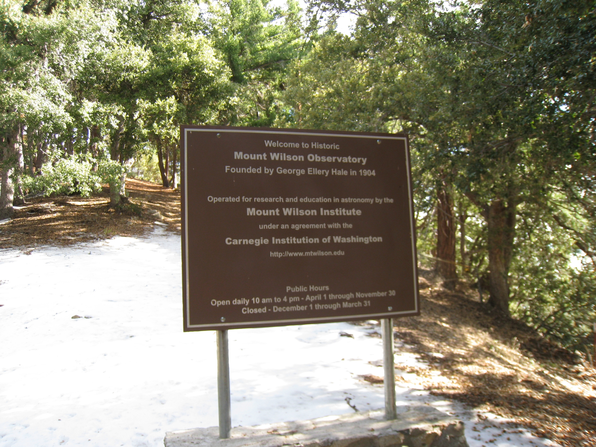
Mt. Wilson- Via Newcomb Pass
11/30/10 One of my favorite trail runs. 20 miles, 5500' of elevation gain, temperatures in the 30s-40s, amazing single-track, and some unexpected twists. Mt. Wilson has similar distance, elevation gain, altitude, etc. as Santiago Peak, so I figured it would be similar in trail and scenery as well. But it's oh so much better!
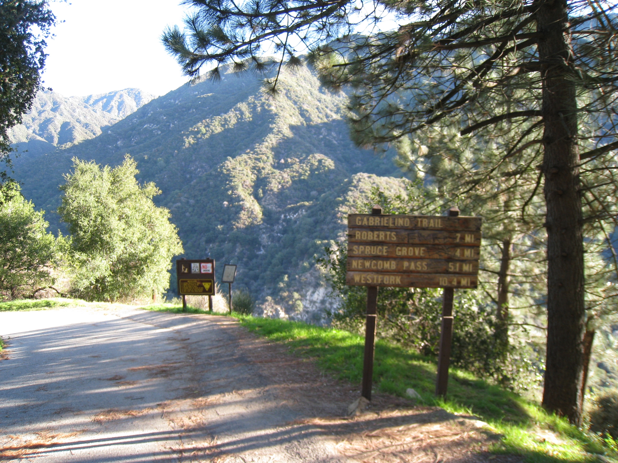 1 Getting started. Unfortunately the trail starts with a half mile of downhill paved road (which makes for a painful uphill at the end of the day). |
 2 Start of the actual trail. I have hiked the lower power of the trail before to Camp Sturtevant, but have never been to the top of Mt. Wilson. |
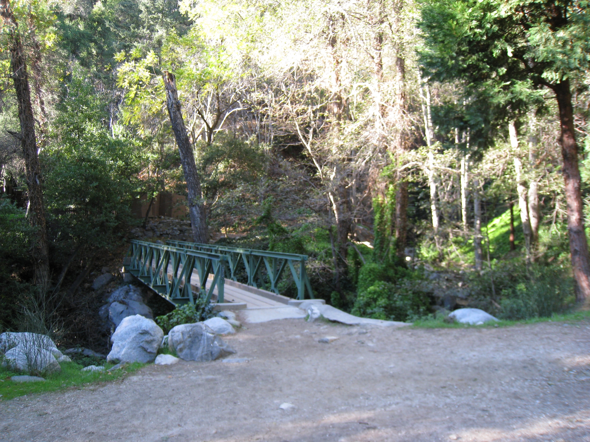
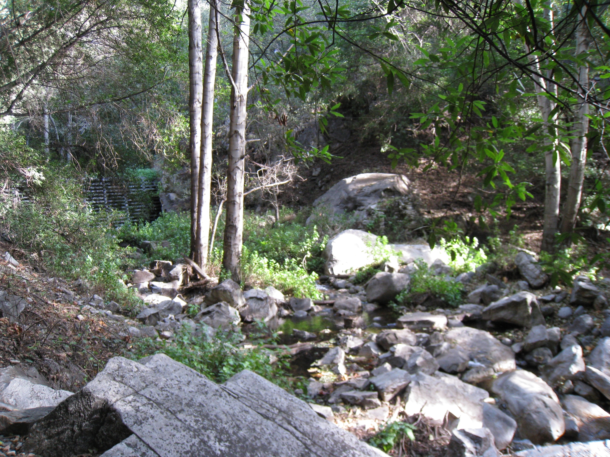
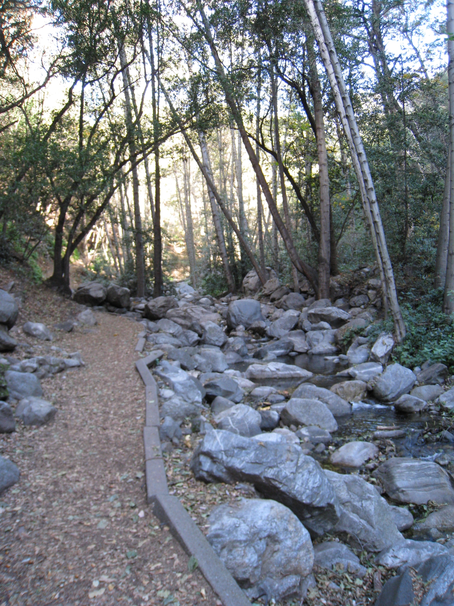 3 The trail stays close to the stream for a few miles. |
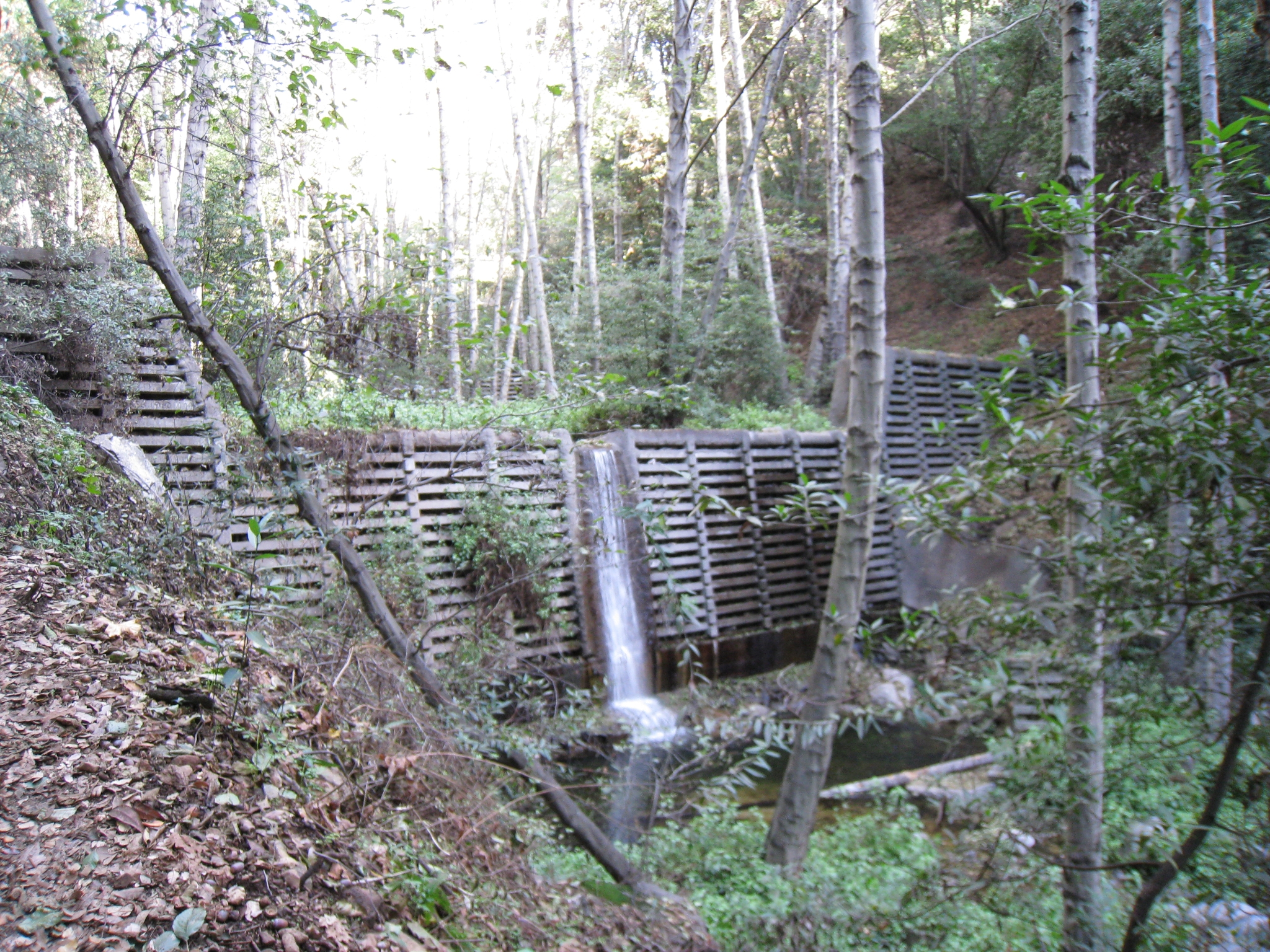
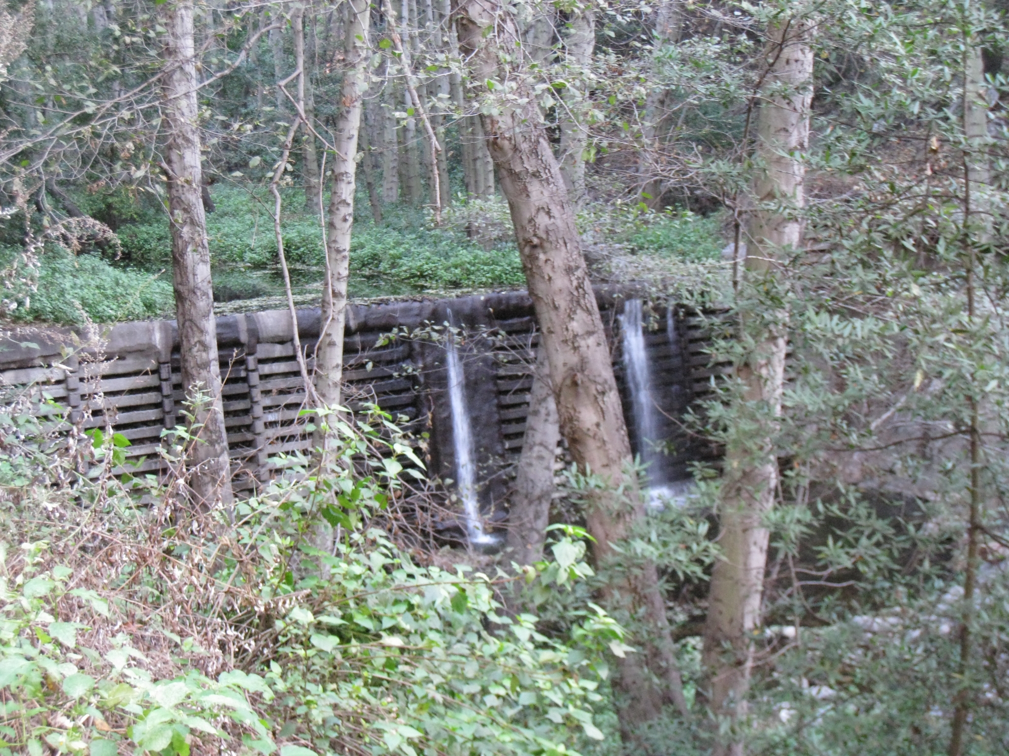 4 The stream is dammed at several points along the way. |
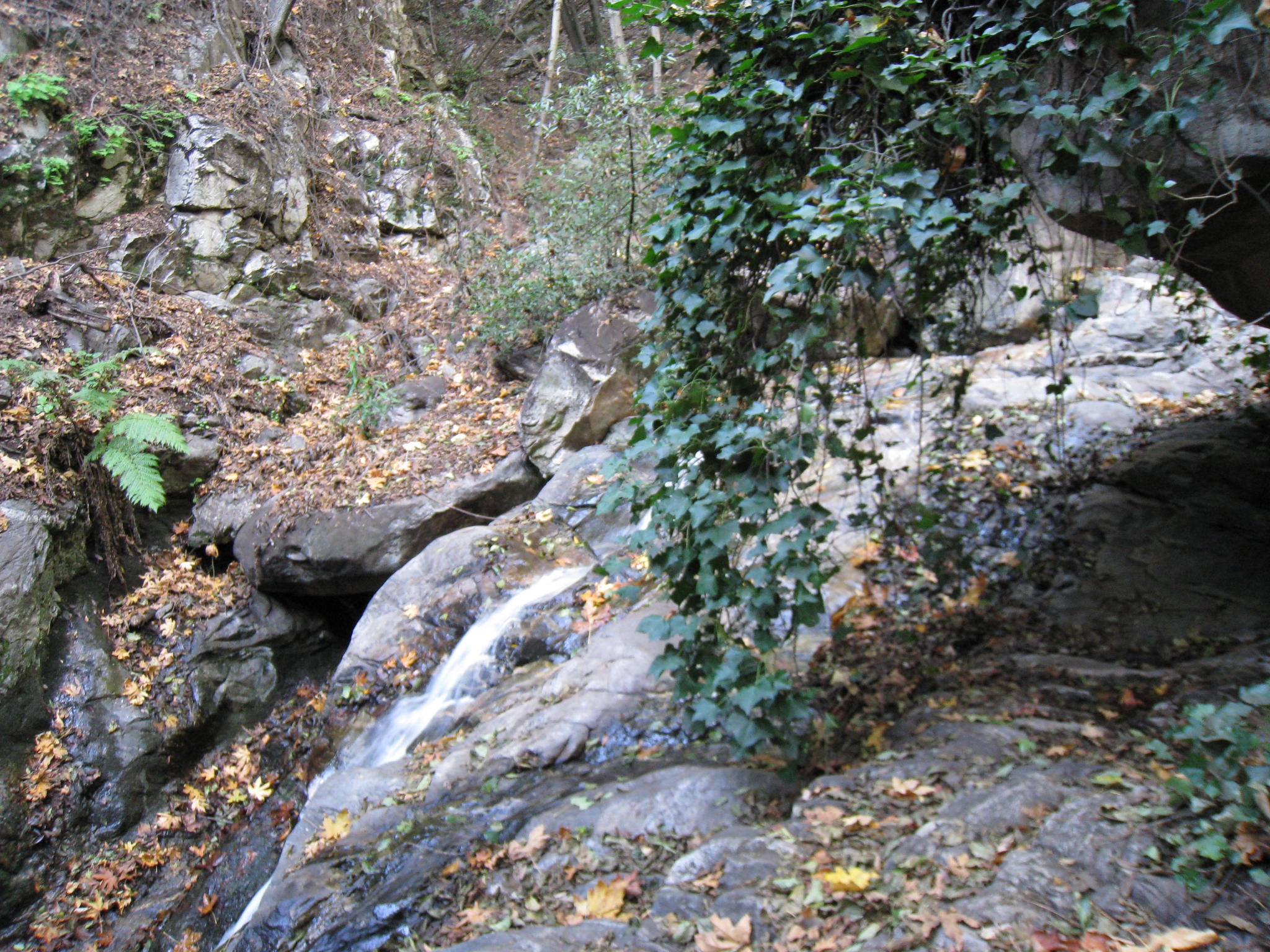
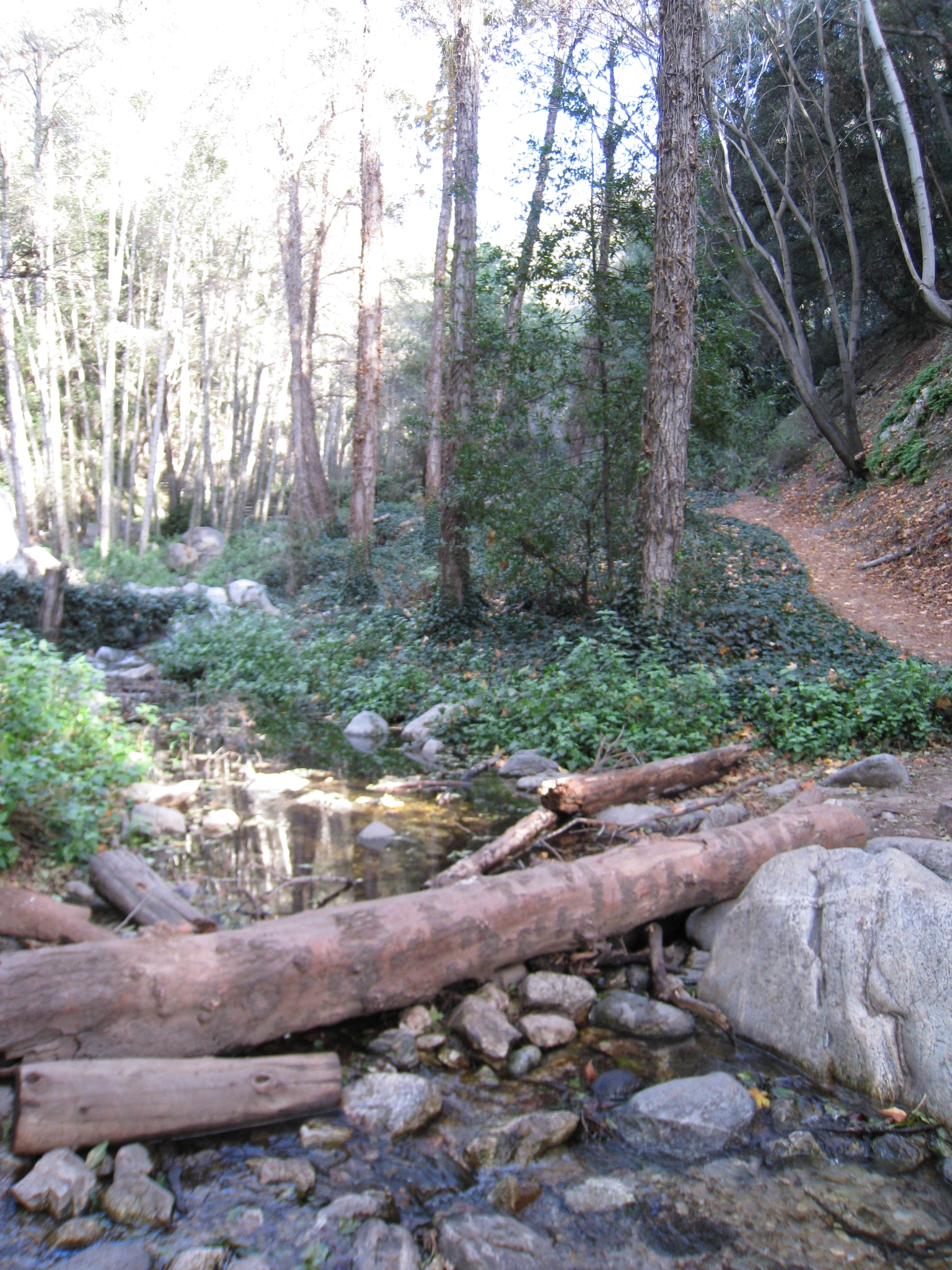 5 The trail crosses back and forth across the stream at several points. |
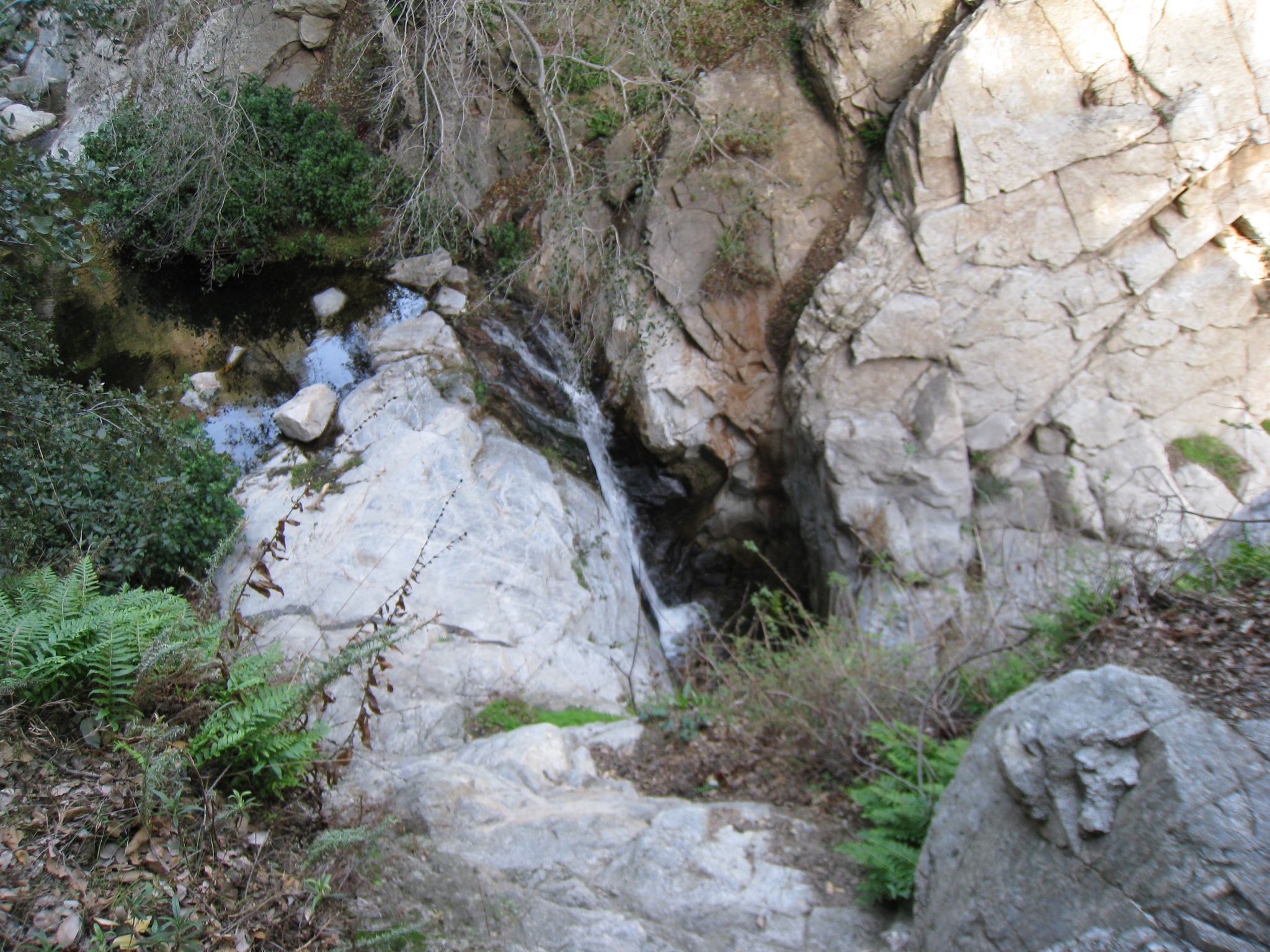
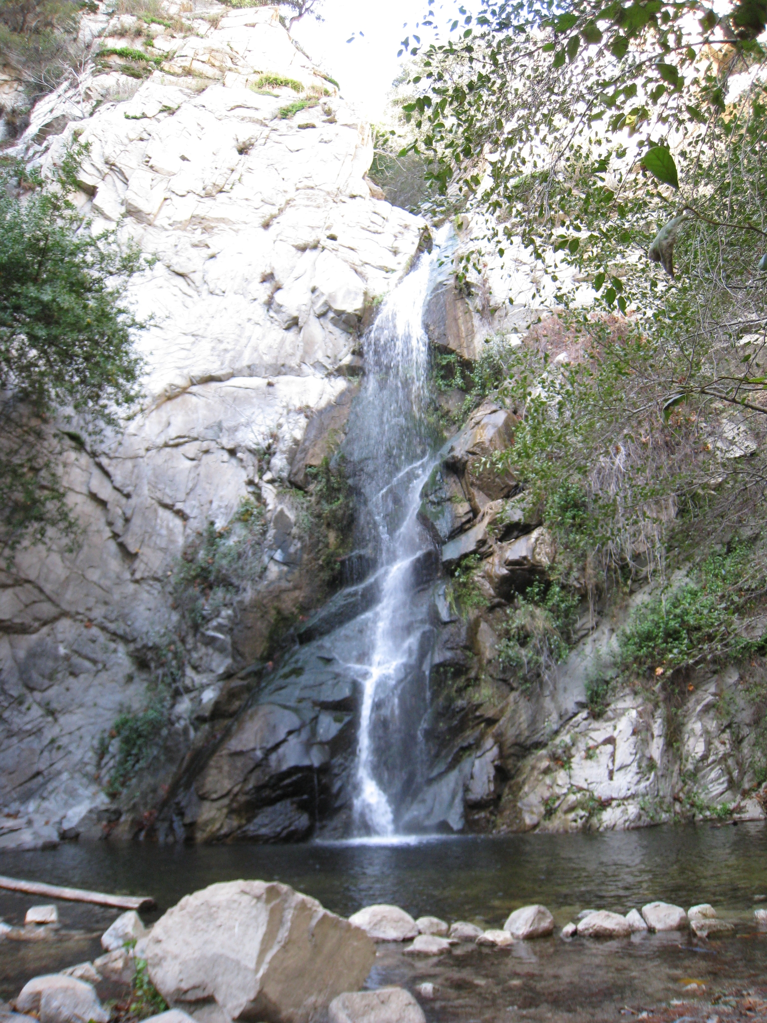 6 Sturtevant Falls. A short detour takes you to the bottom of the falls. |
 7 Not bad for a SoCal waterfall. |
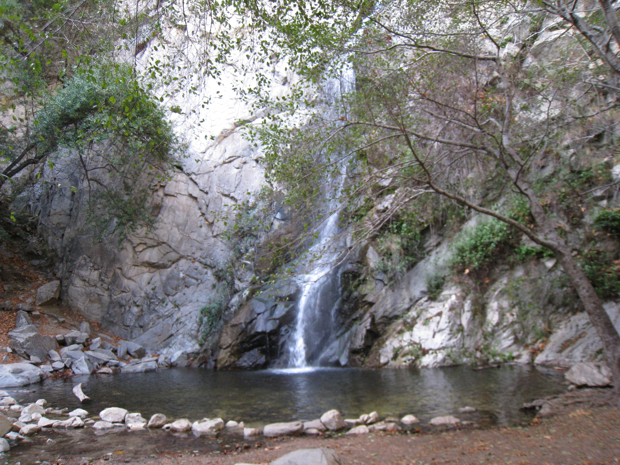
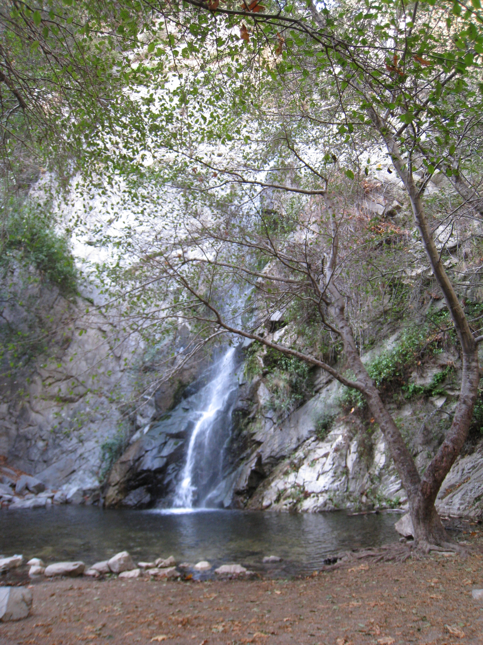 8 People swim underneath it during the summer. |
 9 Top of the falls after a steep run/hike up the trail. |
 10 |
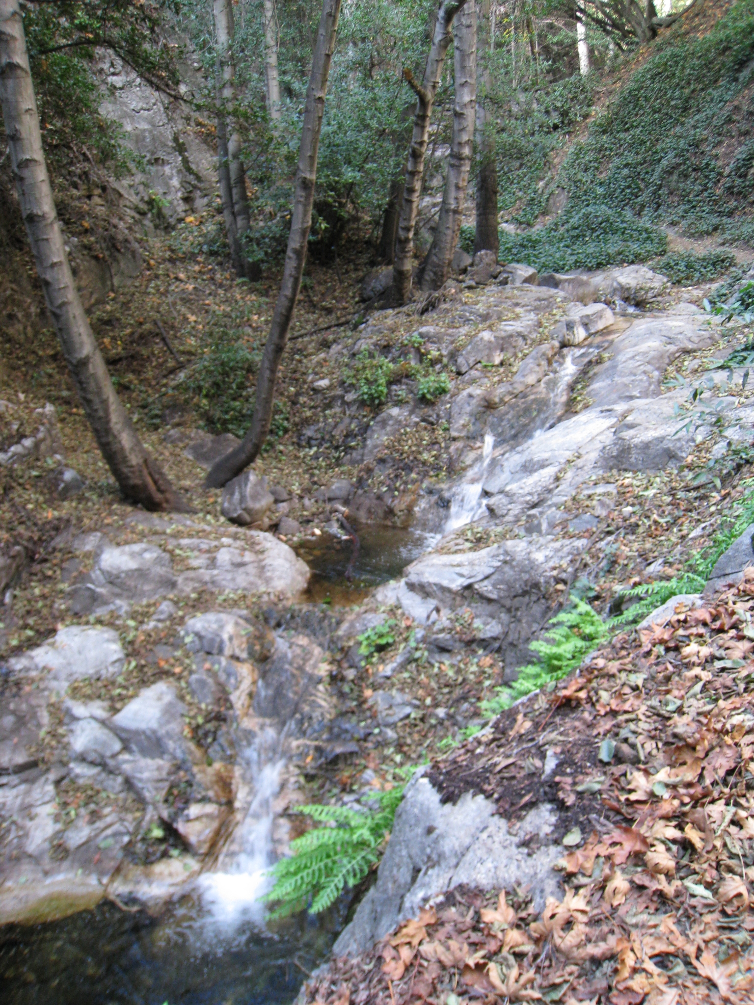
 11 |
 12 There are plenty of small cascades along the trail as the terrain gets steeper. |
 13 |
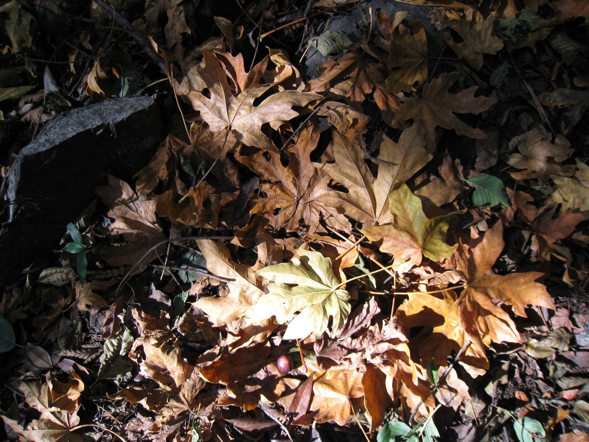
 14 |
 15 Who says we don't get fall colors in Southern CA? The leaves in this area were amazing. |
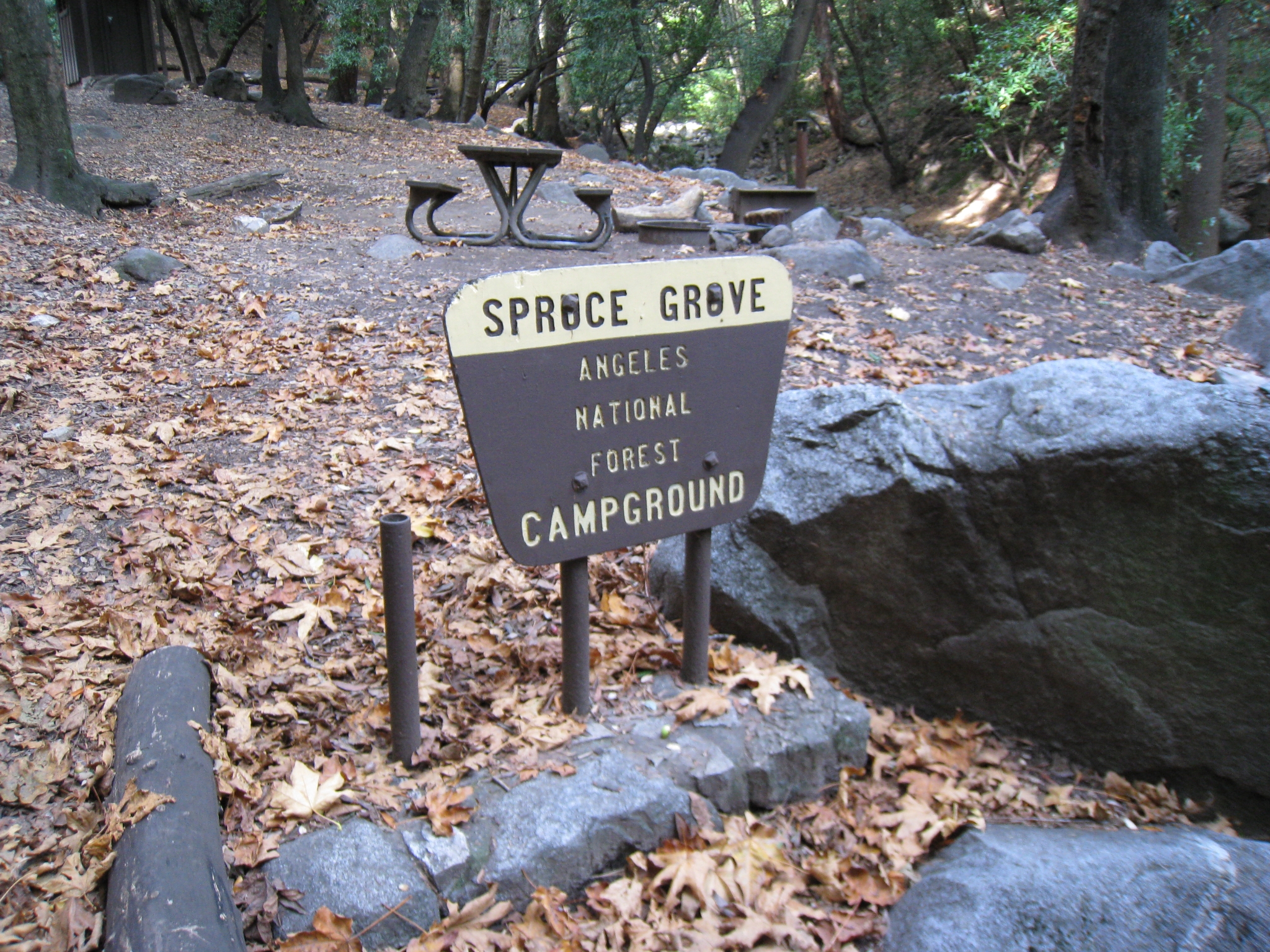
 16 |
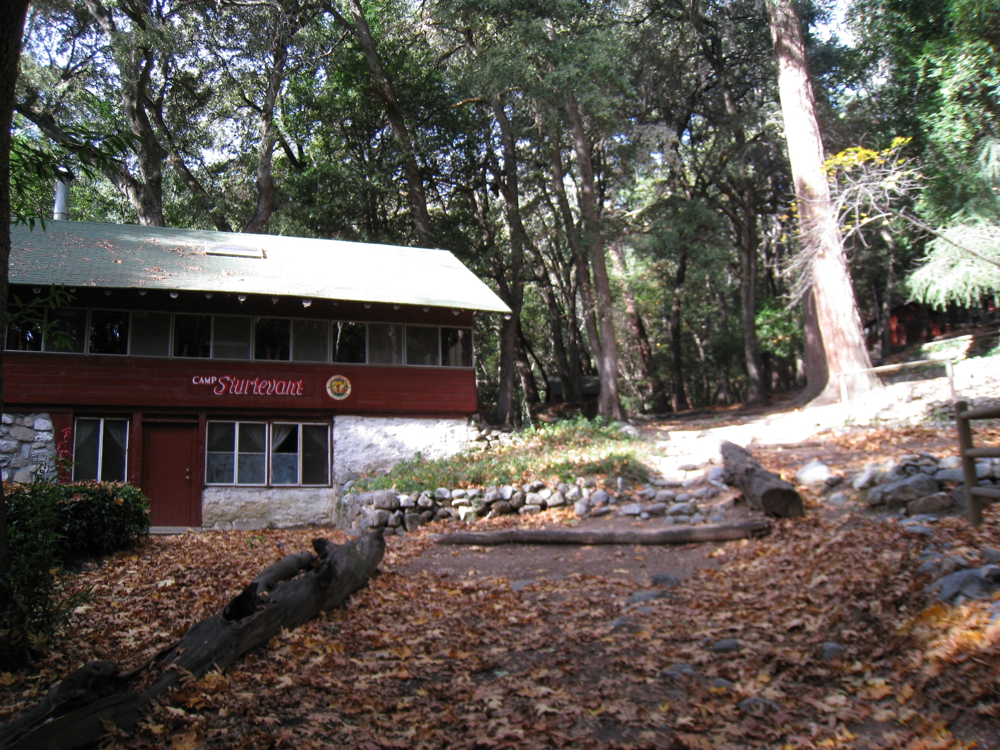
 17 Made it to Spruce Grove campground, just below Camp Sturtevant. |
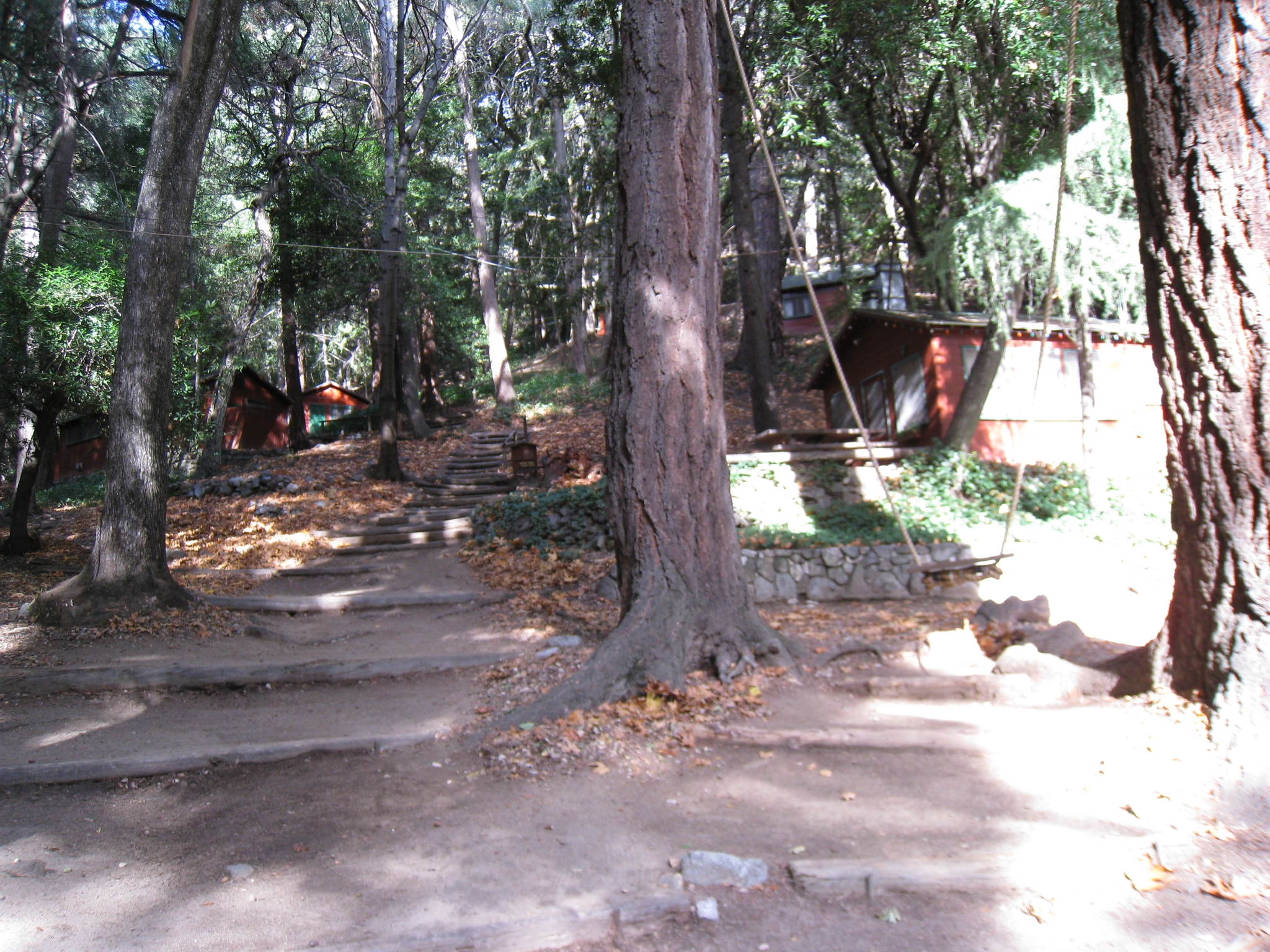
 18 Camp Sturtevant, a privately run camp with lodges, campfire, running water, electricity etc. There is a couple that lives here that manages the facility. Last time I was here, I was talking to one of them, very entertaining. Evidently the electricity is produced by a small hydroelectic generator in the stream (that runs year round) that they installed. |
 19 Another look at the camp, swing set, and lodges. |
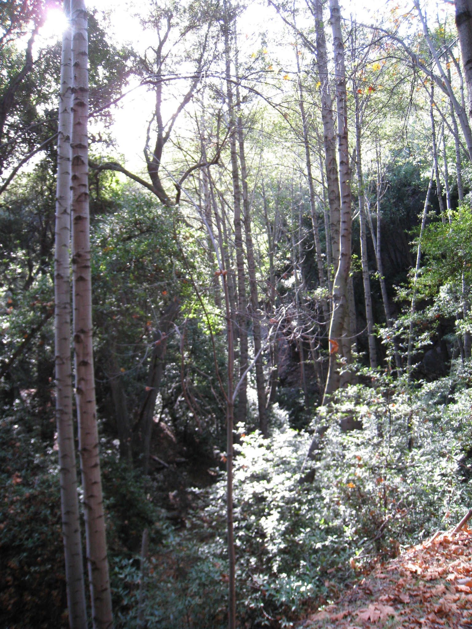
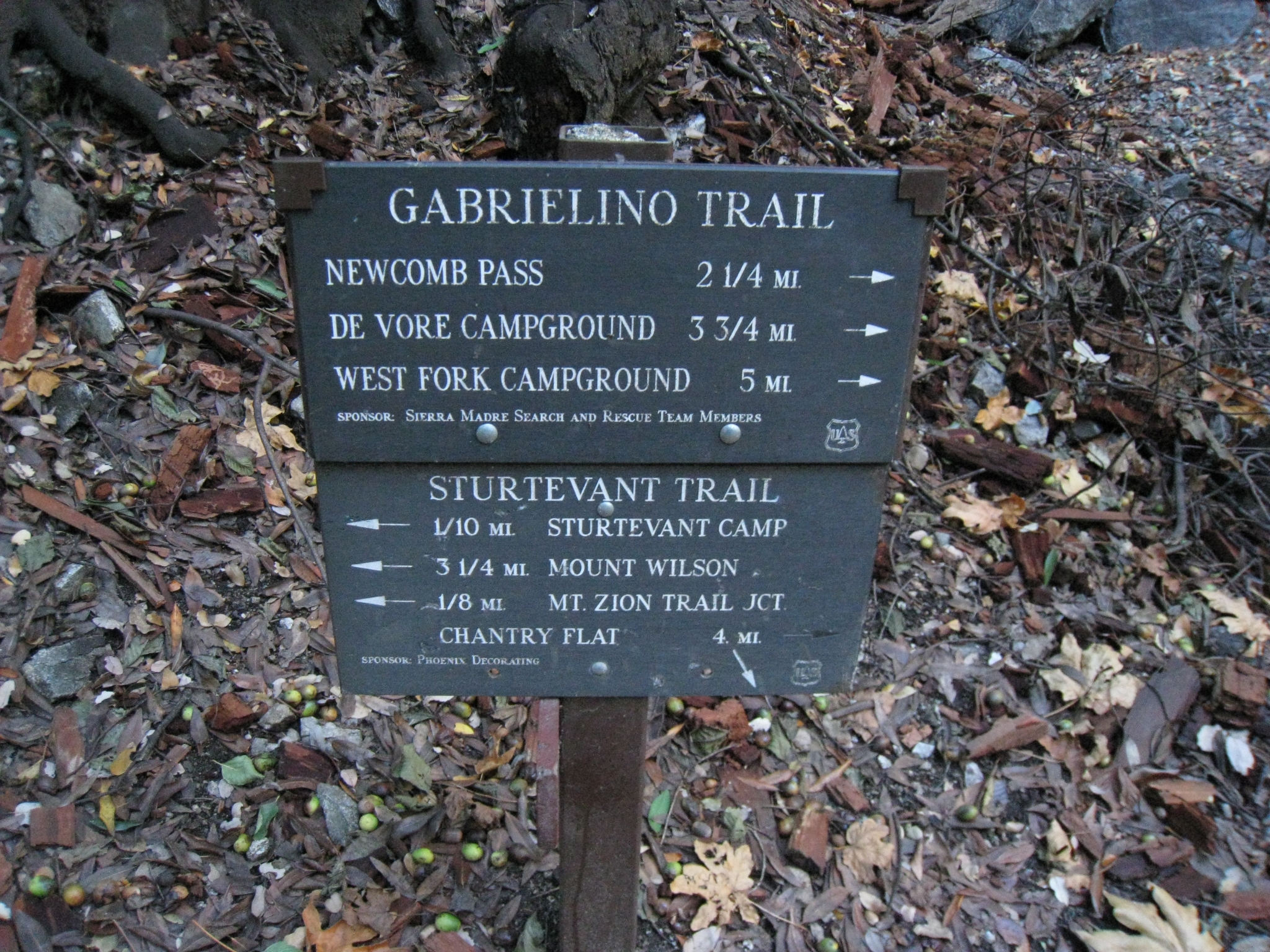 20 Decision point. I can get to the summit via two different routes. There is about a 5 mile round-trip difference between the two. My goal is to hit 20 miles for the day, so I choose Newcomb Pass, the longer route. |
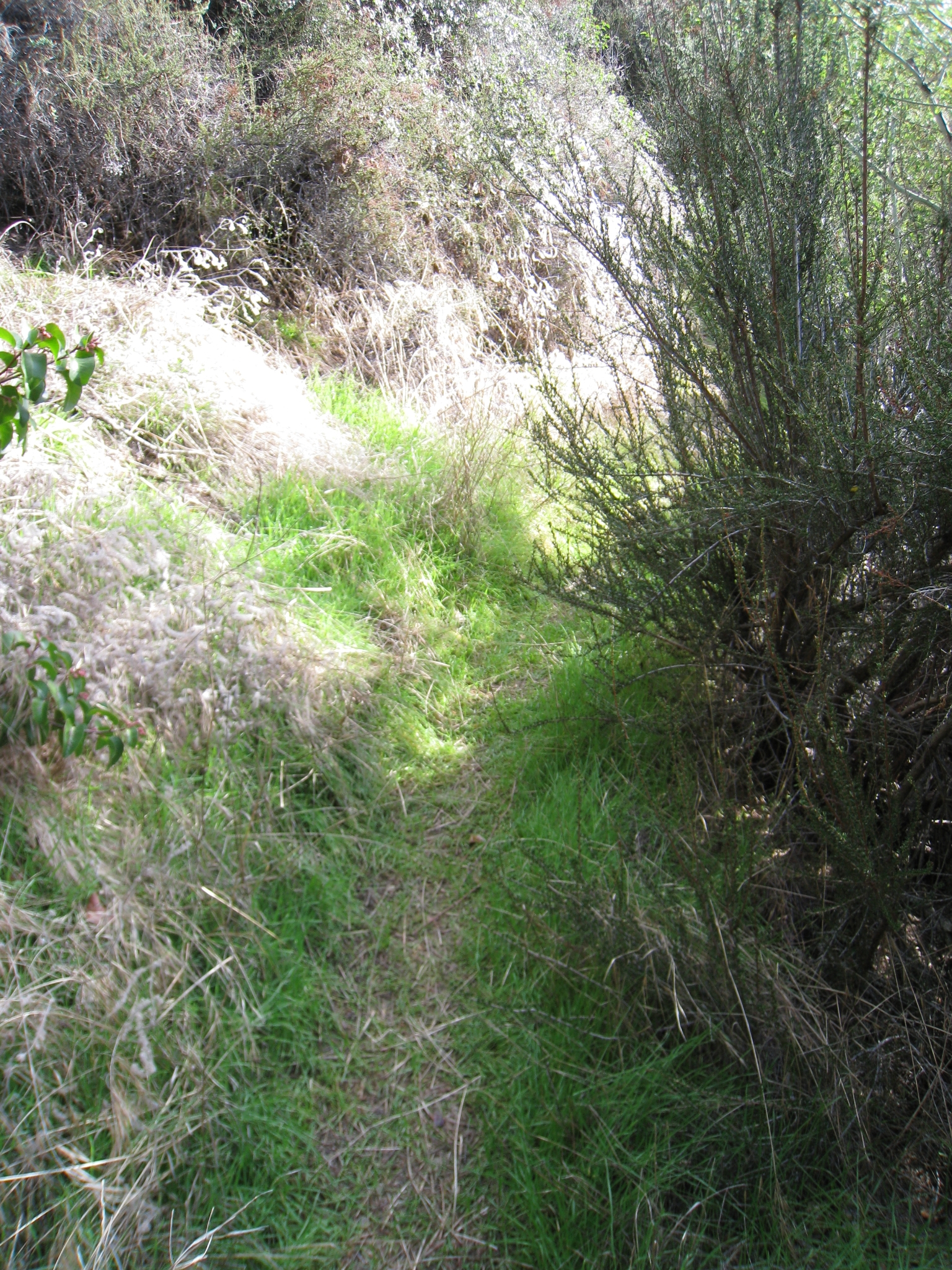
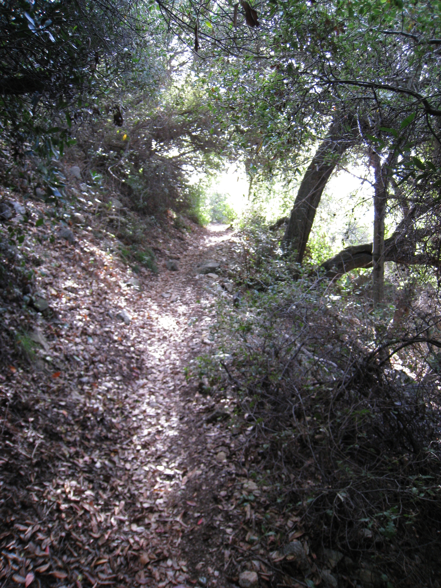 21 The Newcomb Pass route is clearly the road less traveled. I don't see another human the rest of the way to the top. I figured that the trail above this point would be hot, exposed chapparal like Santiago Peak, but it's beautiful tree-covered single-track almost the whole way. |
 22 This trail is definitely not as heavily used. It's almost grown over in places with brush closing in on both sides. This section of trail strikes me as prime rattlesnake territory. Thankfully it's almost winter. |
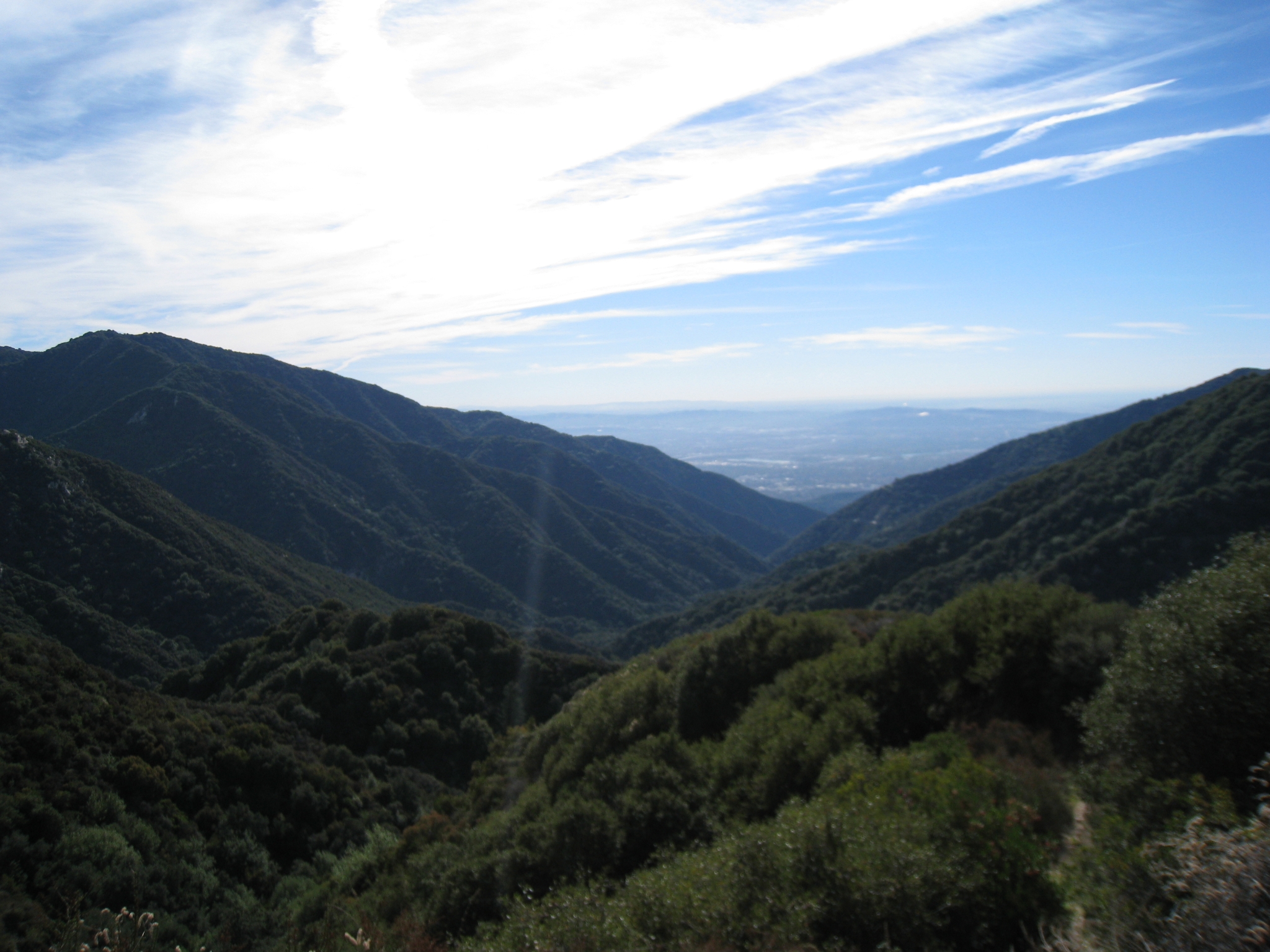
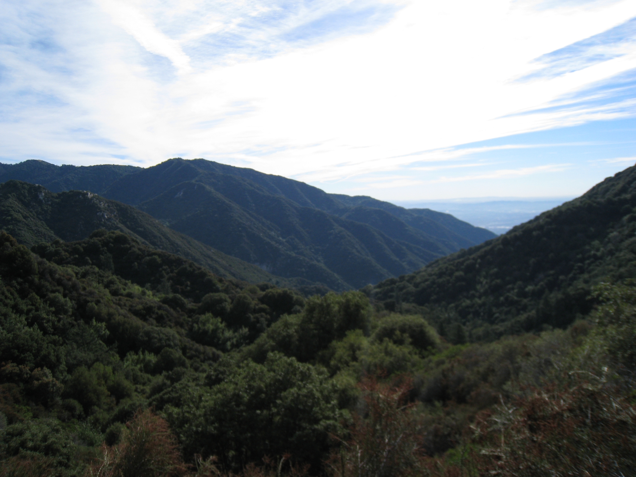 23 The first time the trail gets high enough to have a view outside of the valley. |
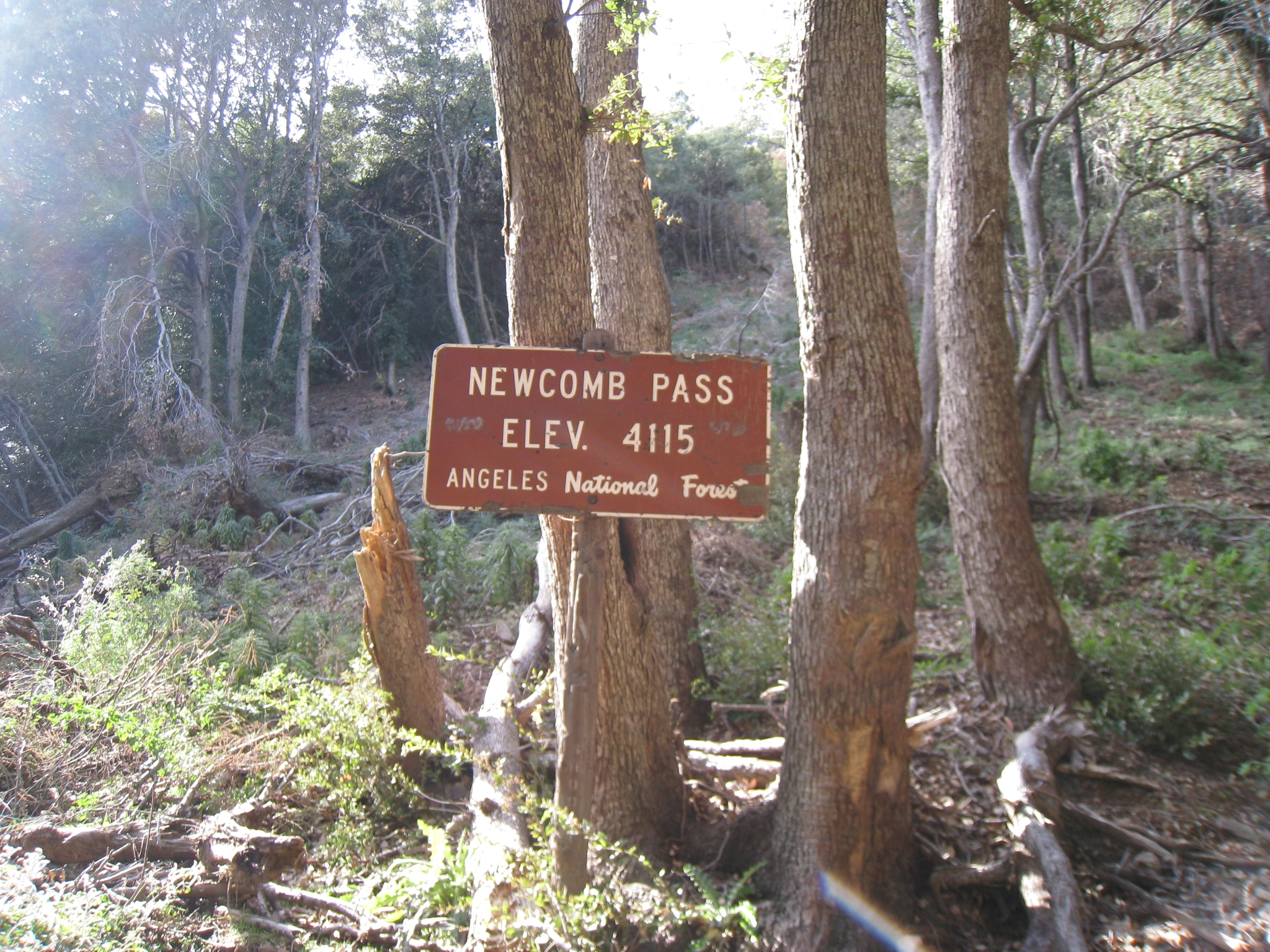
 24 Another ridge view from a bit higher elevation. |
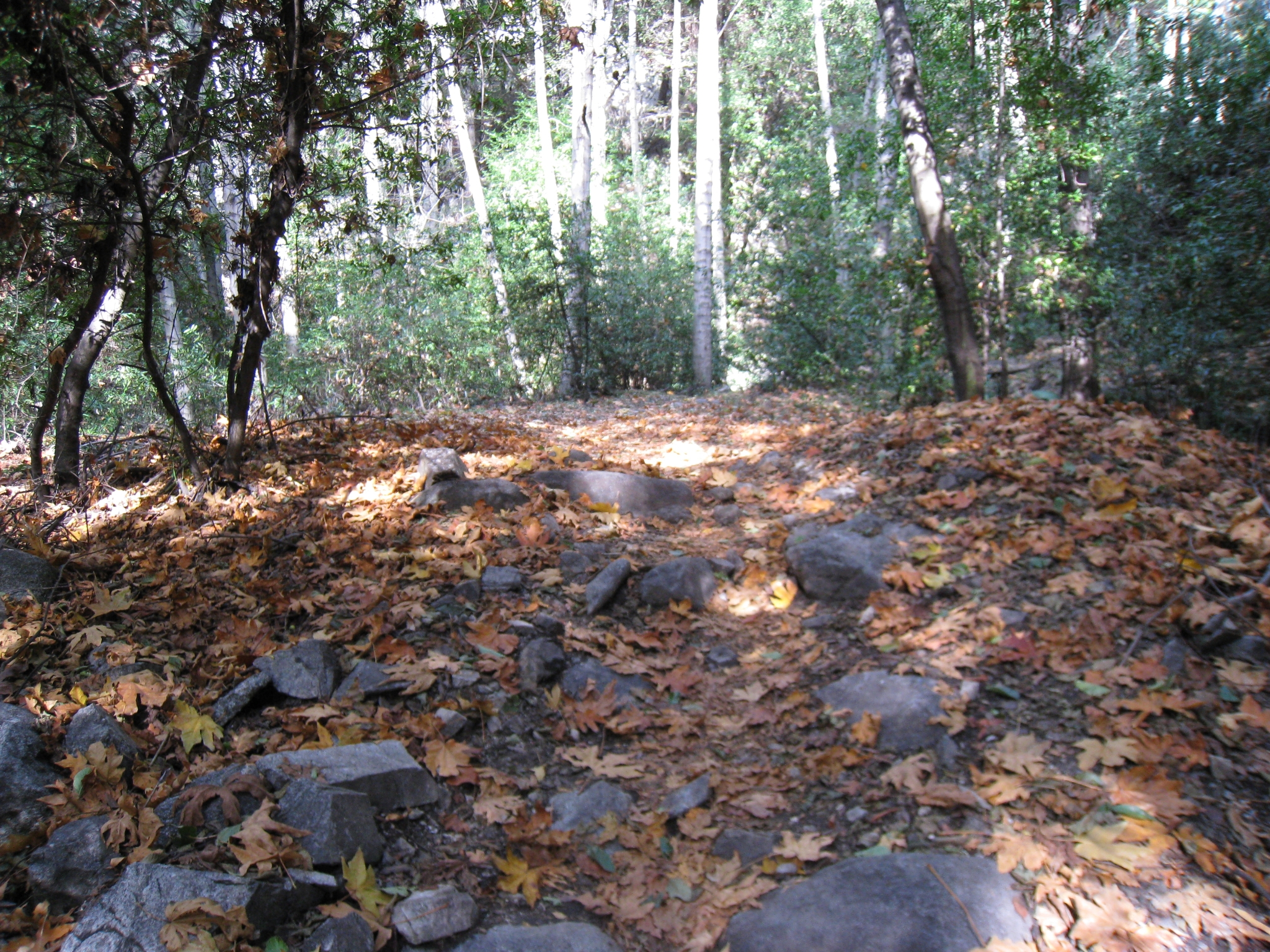
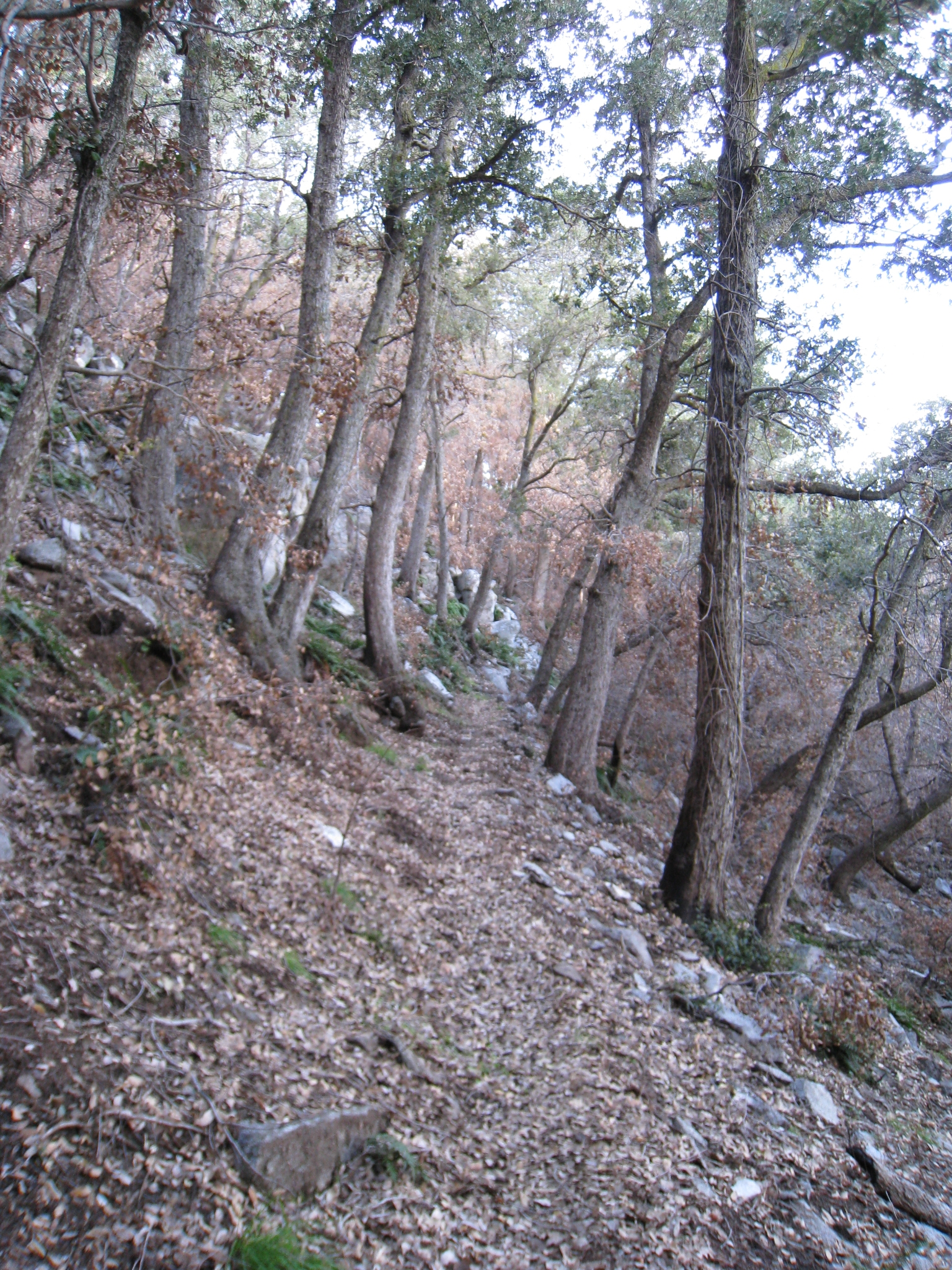
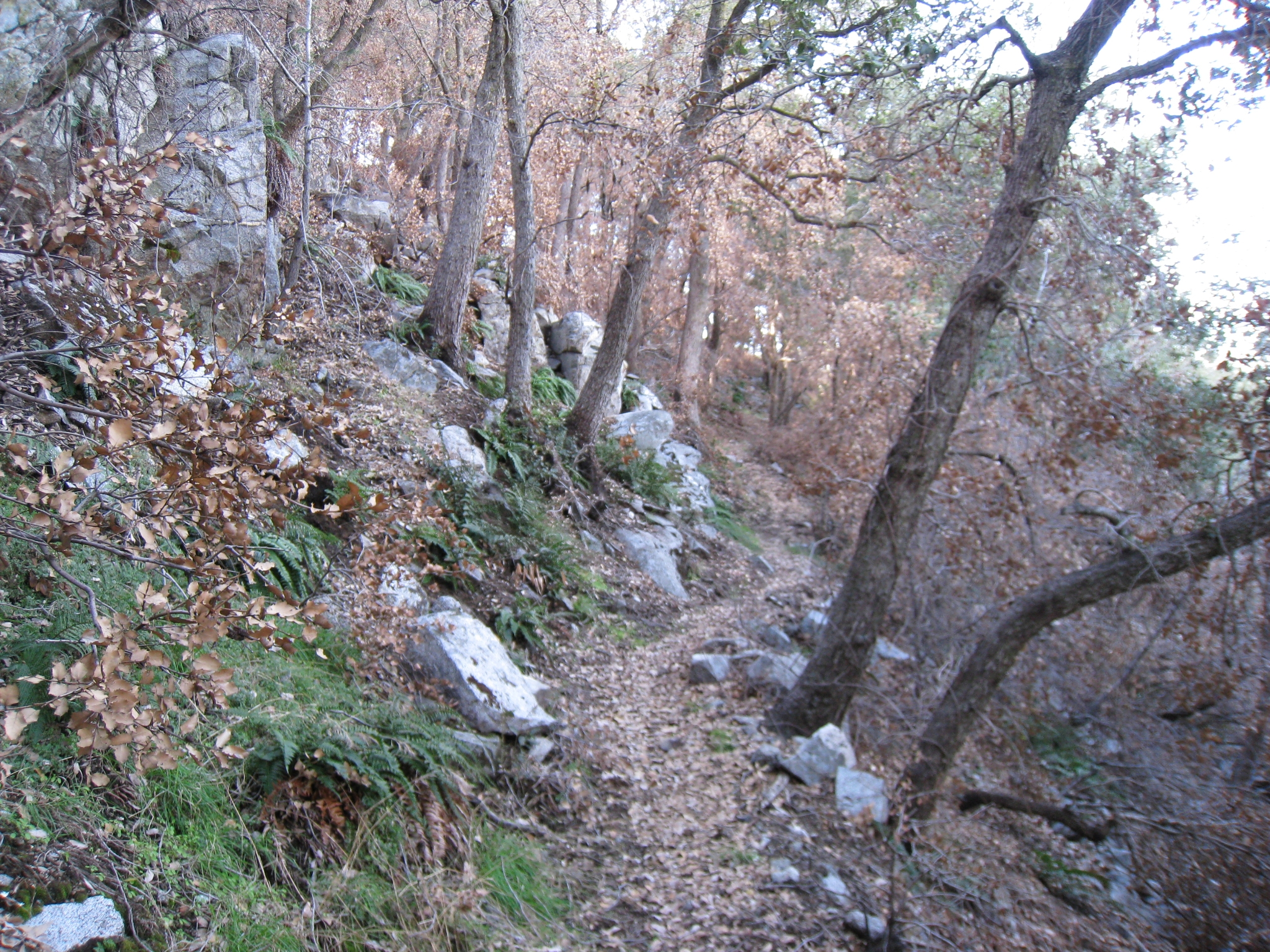
 25 Made it to Newcomb Pass. 3.5 miles, and 1600', to go to the top. Judging by the topo, most of the elevation gain is in the last 2 miles, which should mean 600'+ miles, which is on the upper edge of runnable for me. |
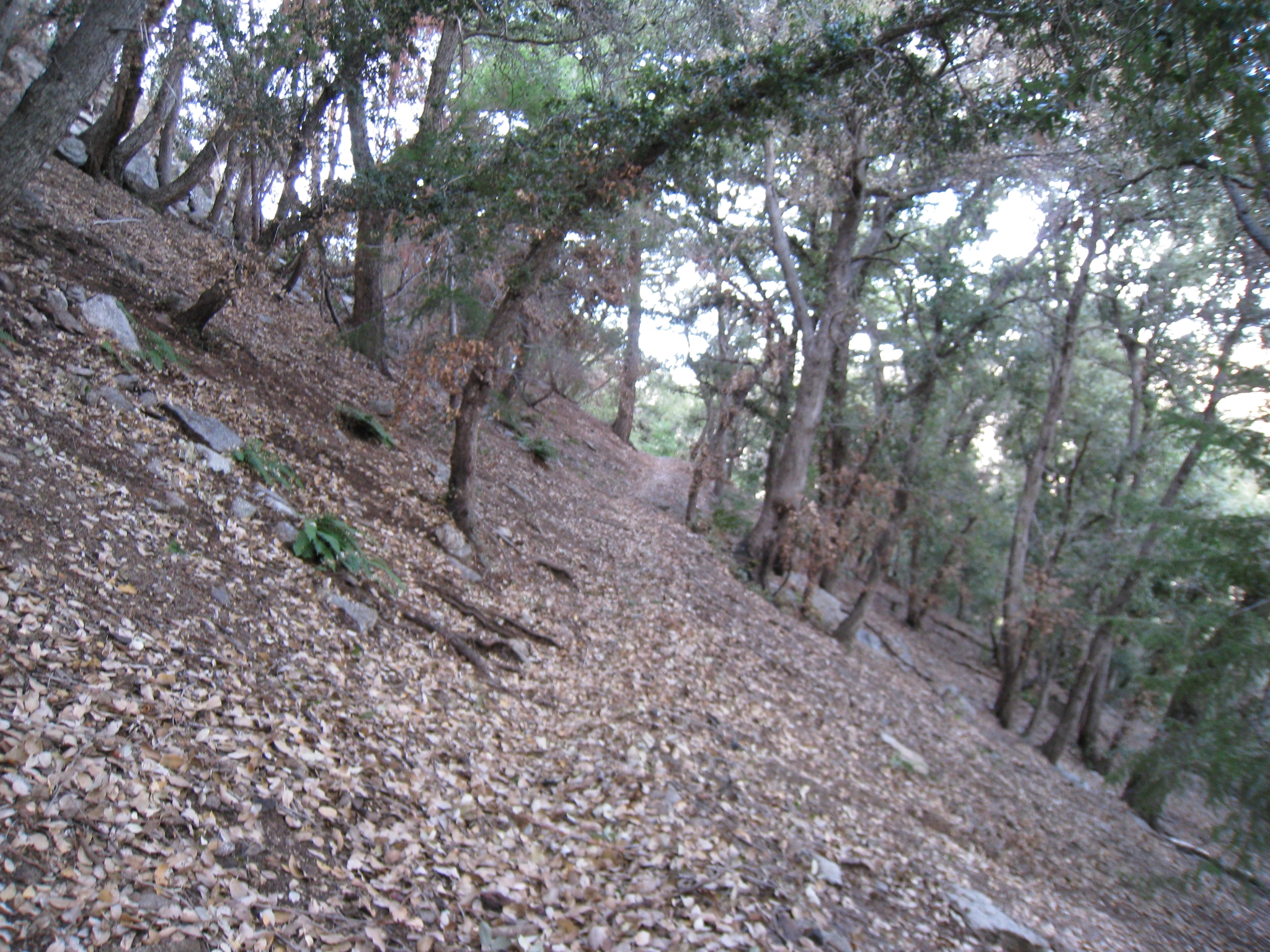 26 Some fantastic single track. The leaves on the ground are a few inches thick, which makes for a nice spongy landing, but actually makes running fairly tough. I almost slipped and ate it a number of times. |
 27 More amazing single-track. |
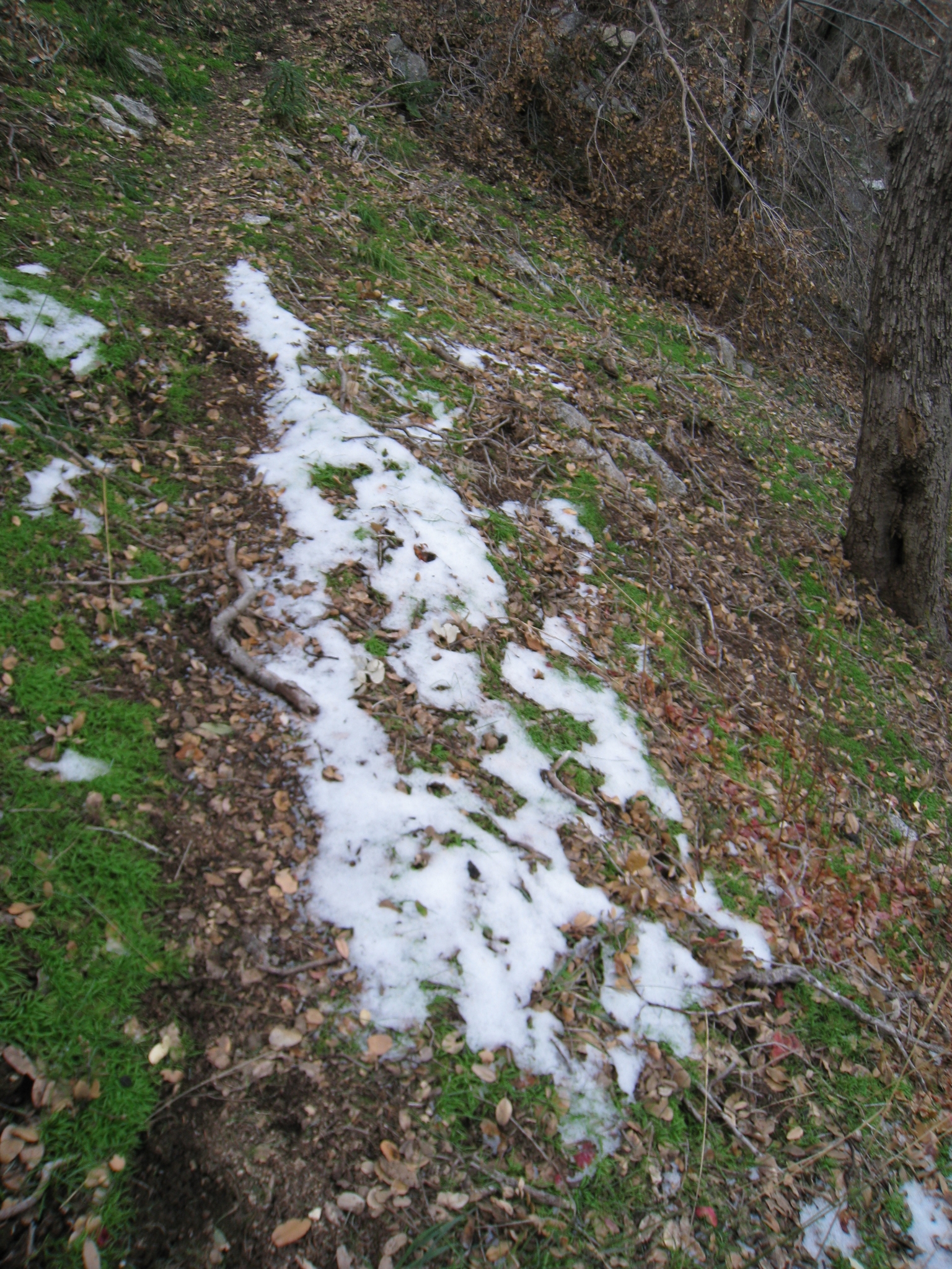
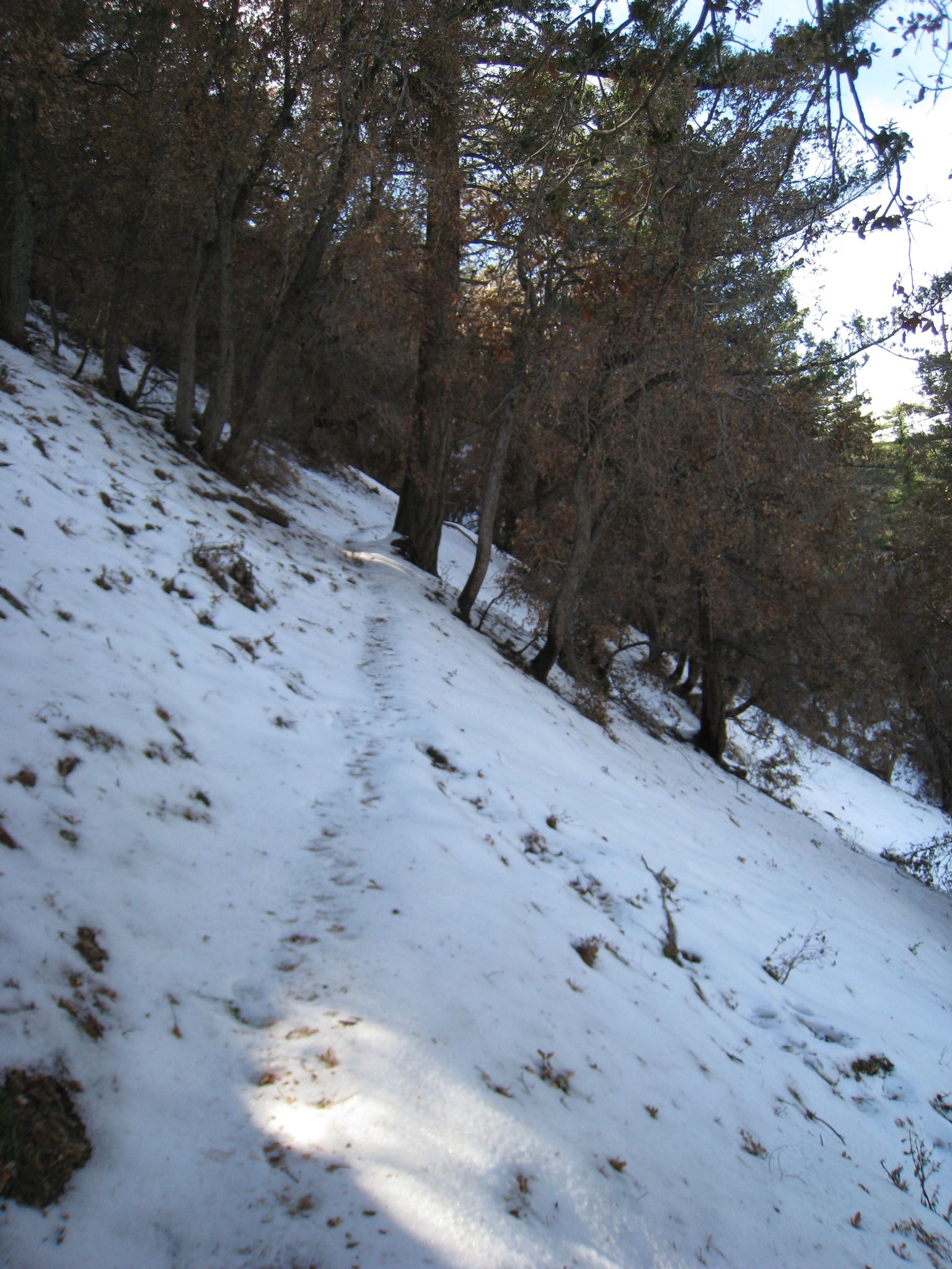
 28 |
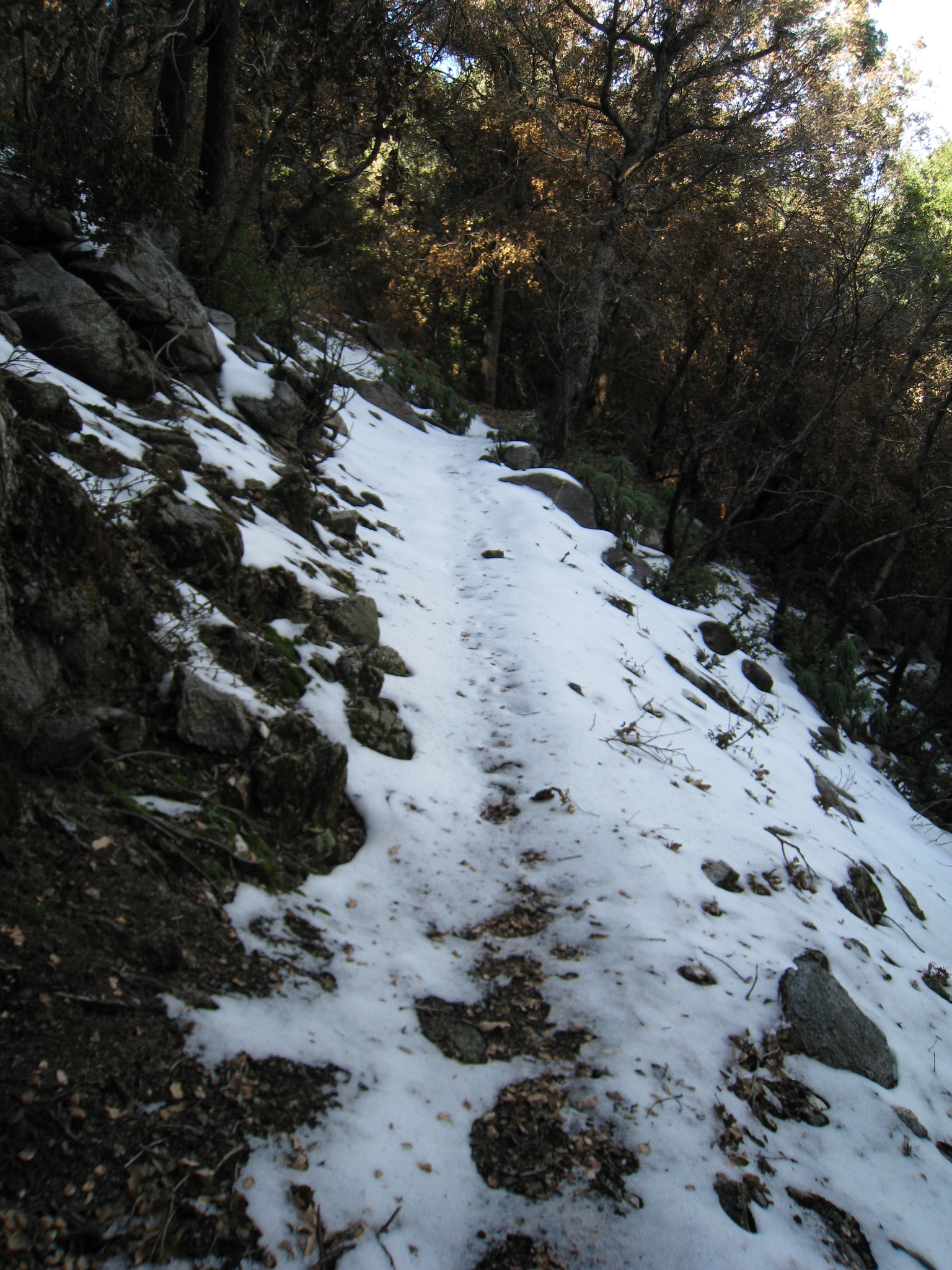
 29 Snow?! It hadn't even crossed my mind that I could possibly encounter snow on this run. It's still only about 4500' elevation at this point. I was totally suprised, but this was probably the only patch left because it happened to be in a pacticularly cold, shady area, right? |
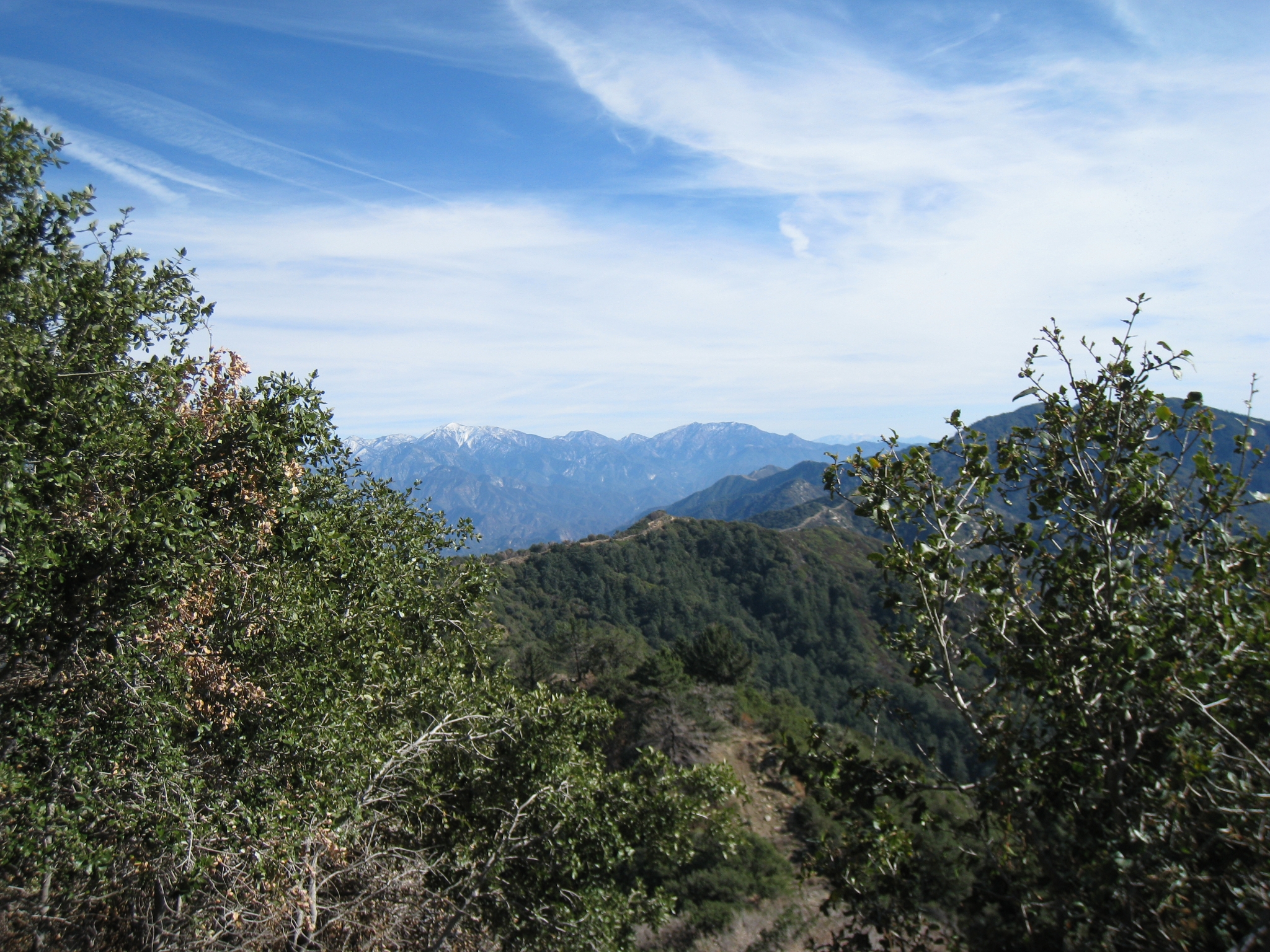
 30 Uh, nope. Very quickly I was running on snow. This trail run quickly went from great to all-time great. |
 31 The trail briefly hits the top of the ridge and offers some amazing views. That's Mt. Baldy in the distance. |
 32 |
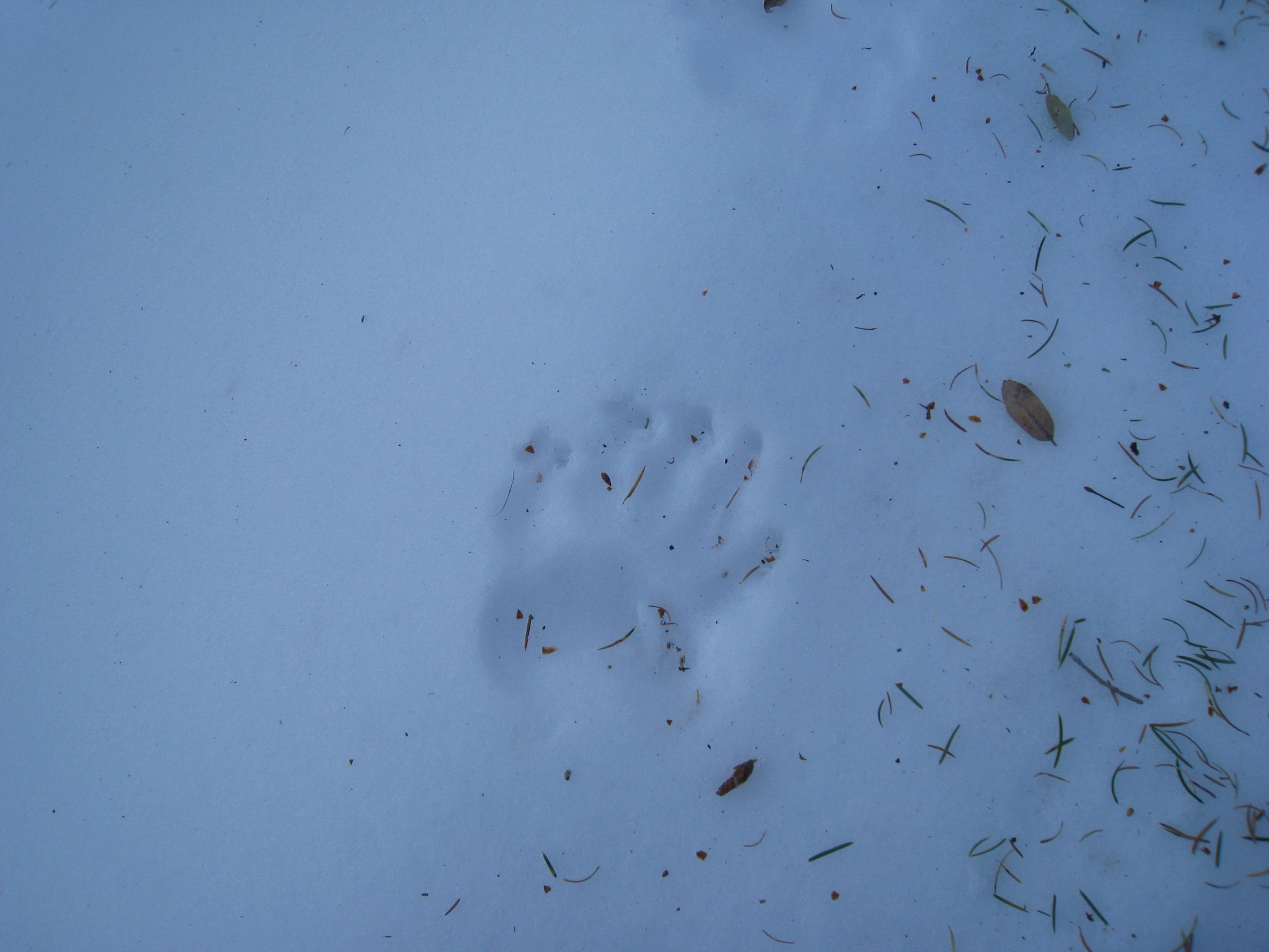
 33 The snow is actually getting pretty heavy now. Fortunately, it's not too icy, so I'm still able to run on it. And fortunately there are tracks to follow or this run would have already become a slow hike at best. |
 34 What the heck kind of footprints are those? They're on the trail for only a few hundred yards and then dissapear off into the trees. Judging by the "Bear Territory" warnings at the trailhead, I can only assume this was a bear. Very cool, but also just a bit unnerving at the same time. |
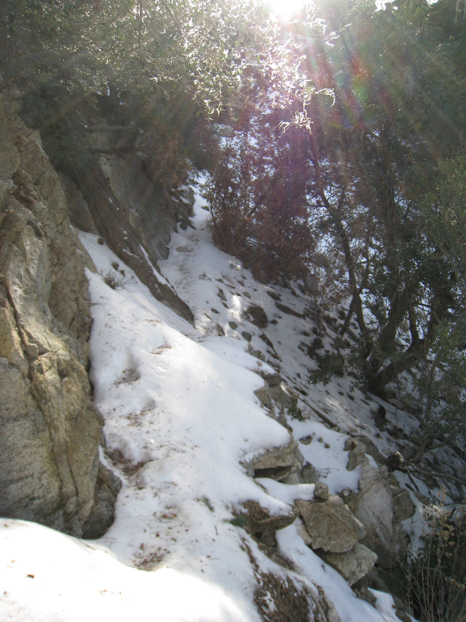
 35 The trail hits the ridge again, this time at a bit higher elevation and the views get even better. |
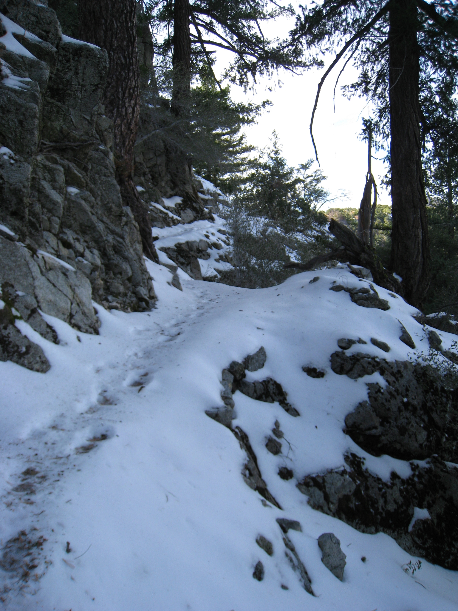 36 It doesn't get much better than this. And yes, I am still running on this trail. |
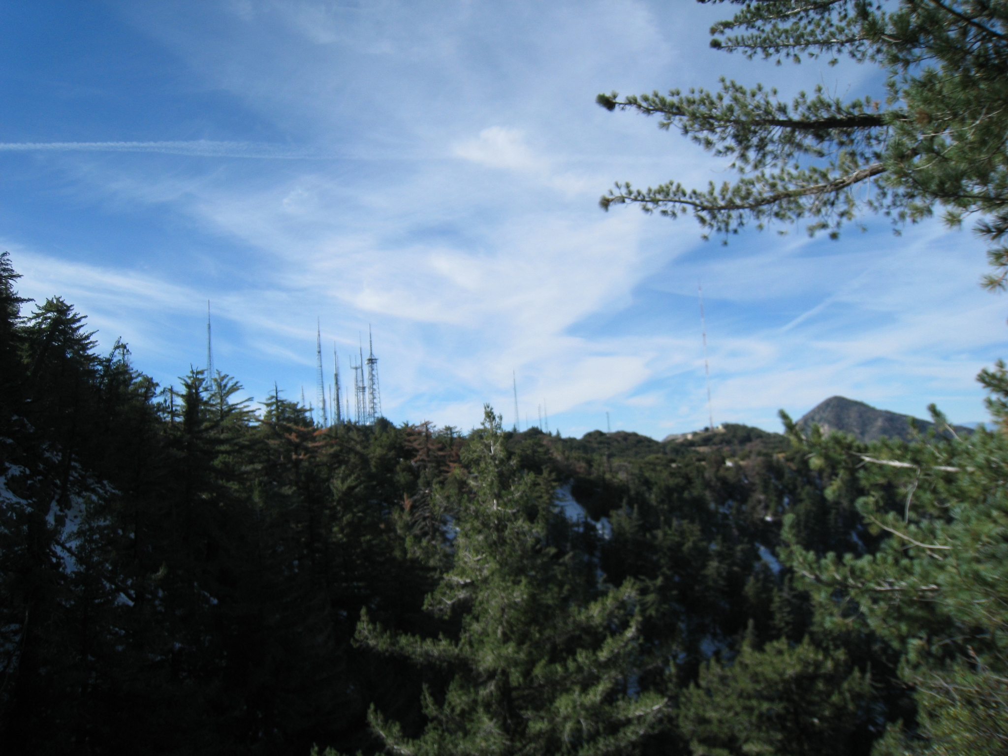
 37 Yes, that is the trail. And no, I am not able to run through this section. This is a slow hike on a narrow snow covered ledge with a steep dropoff to your right. Awesome! |
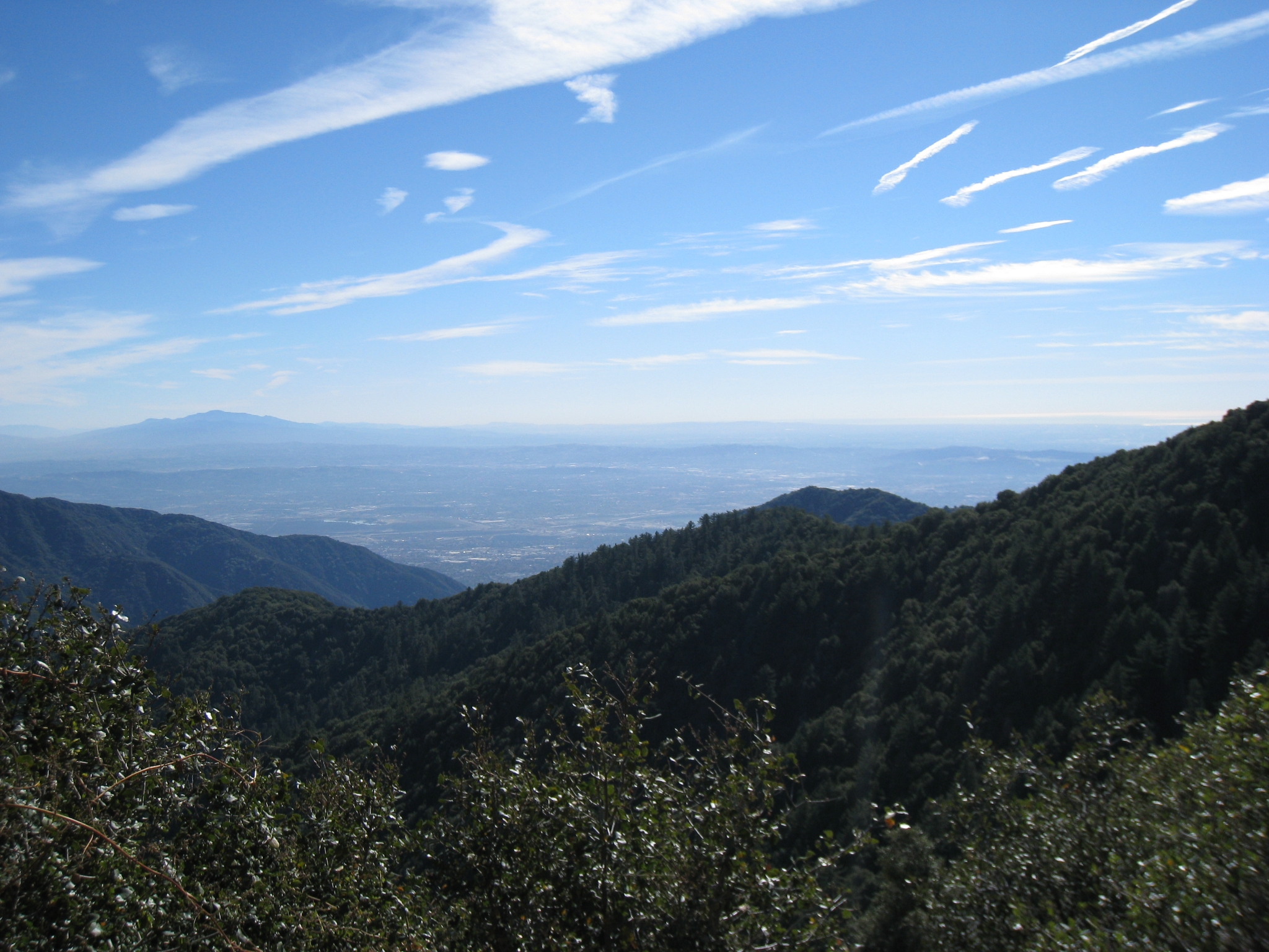
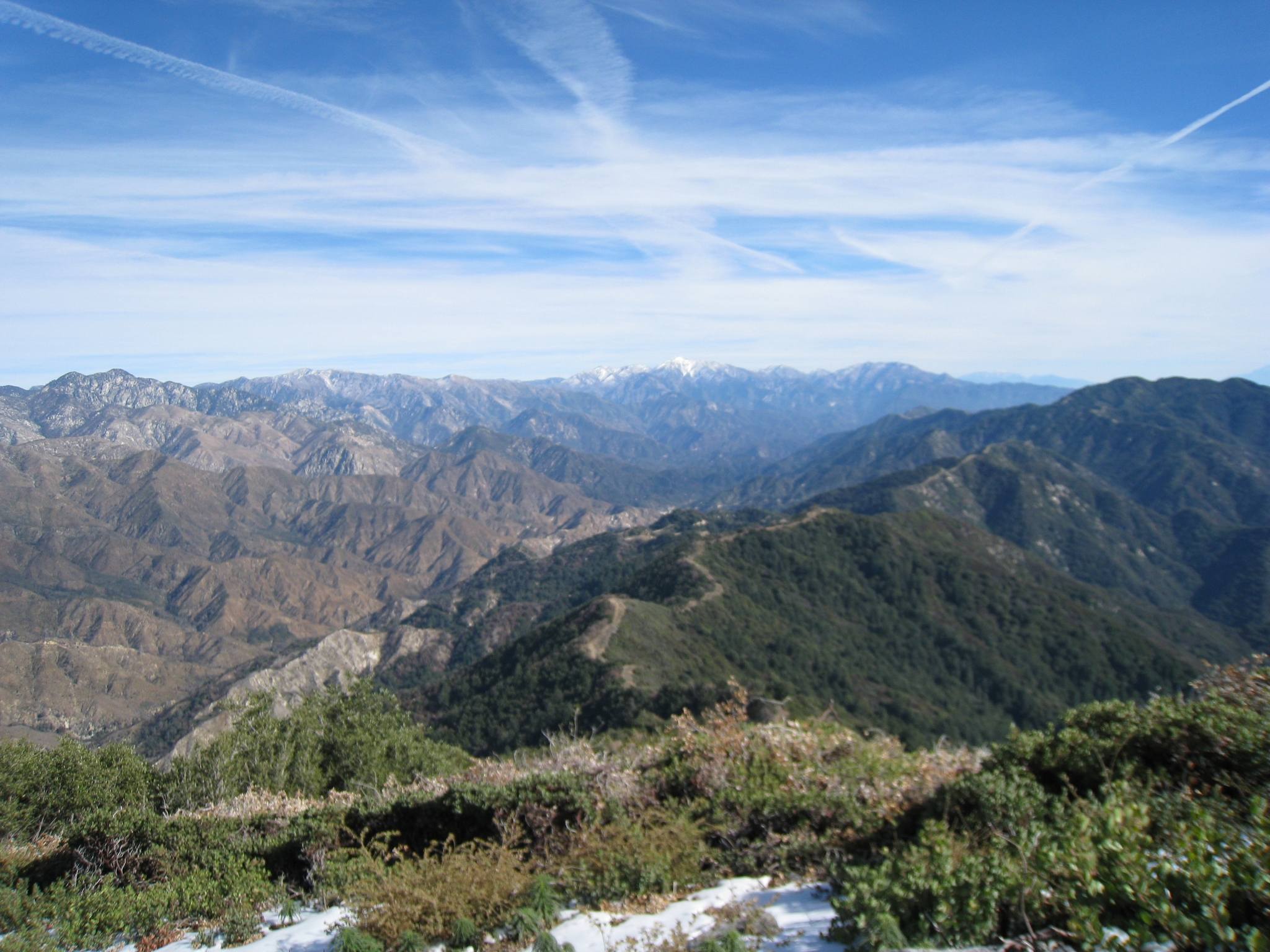
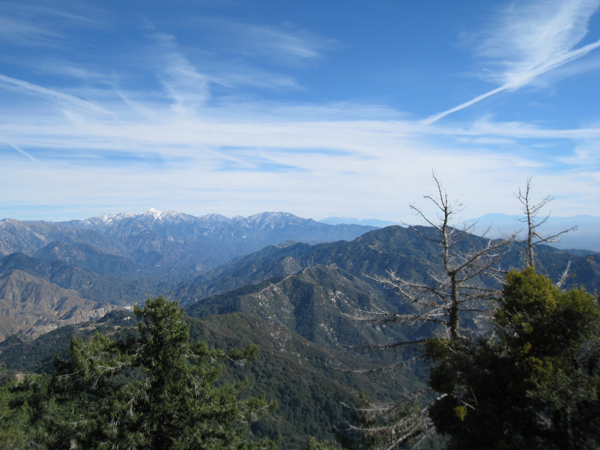
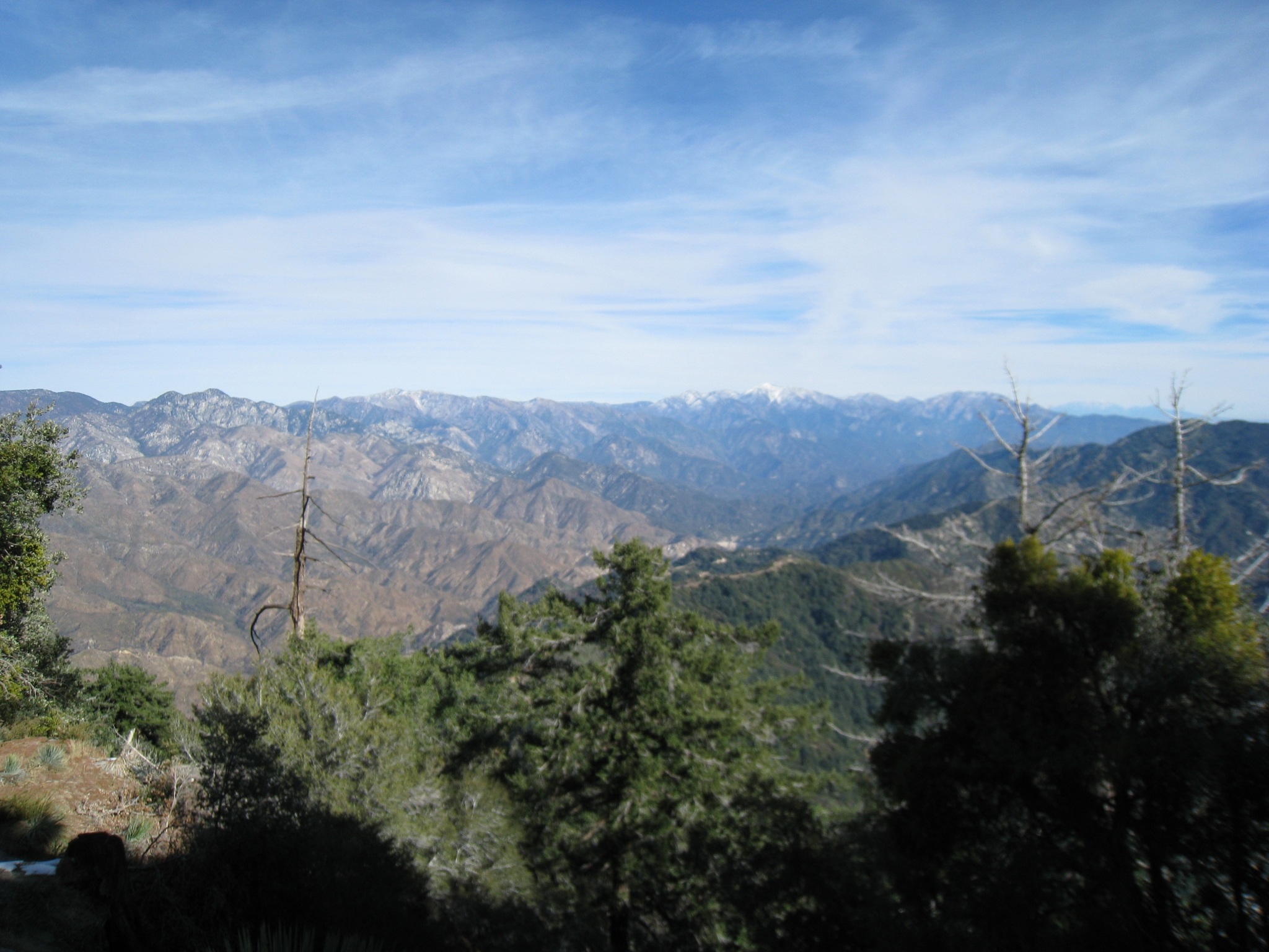
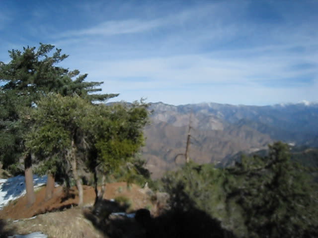
 38 The first view of the antennae array on the summitt. That represents most of the major LA area TV and radio stations. |
 39 Just short of the summitt, the trail hits a vista point (marked with a sign that says "Vista Point"). This might be my favorite Southern CA view so far. You can clearly see Baldy, San Gorgonio, and San Jacinto. The Big 3 all in the same picture. Probably not too many places you can get that. The camera loses the detail of the snow on the far peaks, but you can clearly see it in person. Had I come up the shorter route, I probably wouldn't of come to this spot at all. |
 40 |
 41 My 360 summit video for the day. Though I'm technically still a couple hundred feet below the summit, this is definitely the best view. |
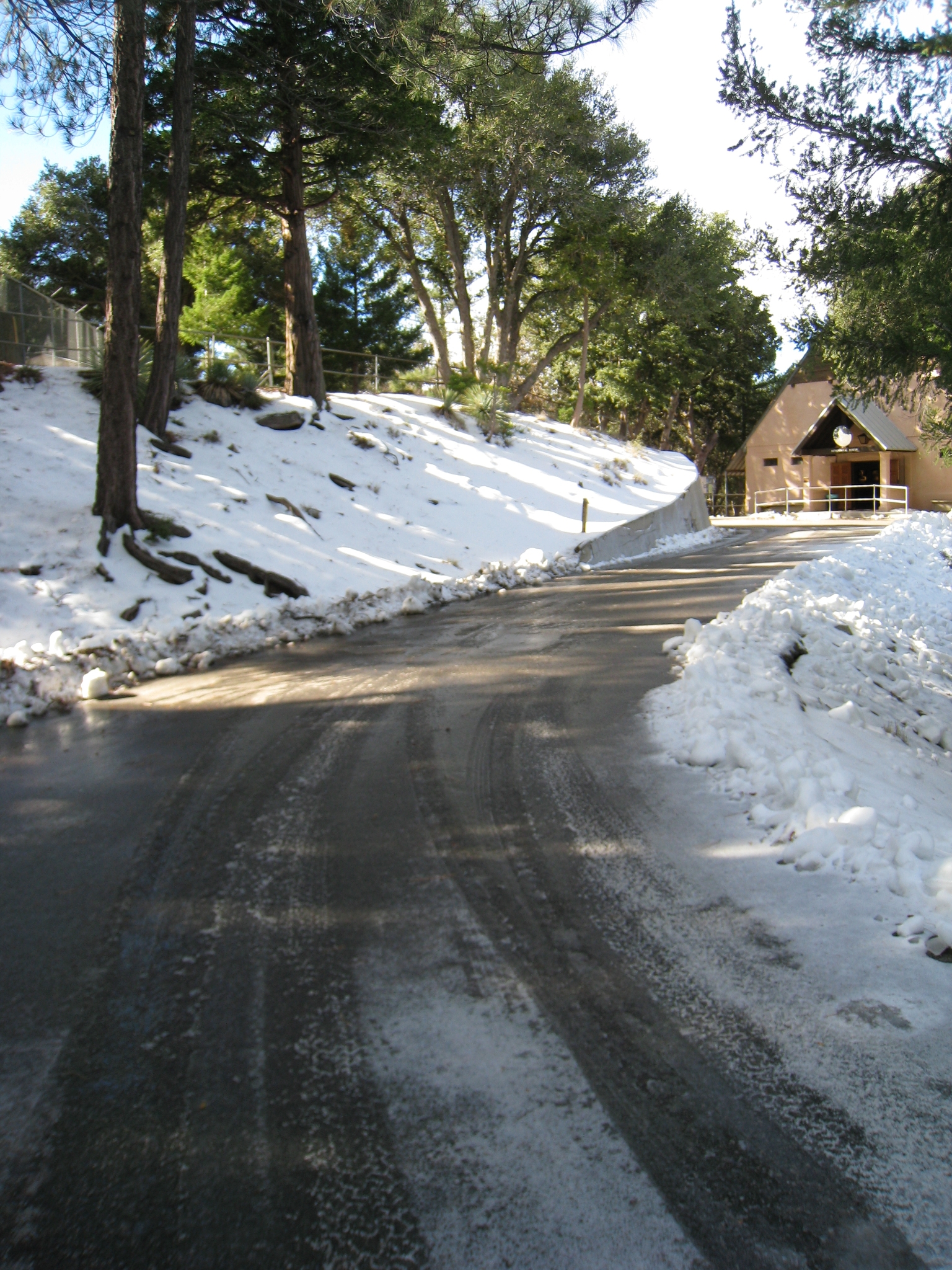
 42 Just above the vista point is the Mt. Wilson Observatory complex on the summit. I had no idea all of this was up here. An unexpectedly interesting destination for the day's run. |
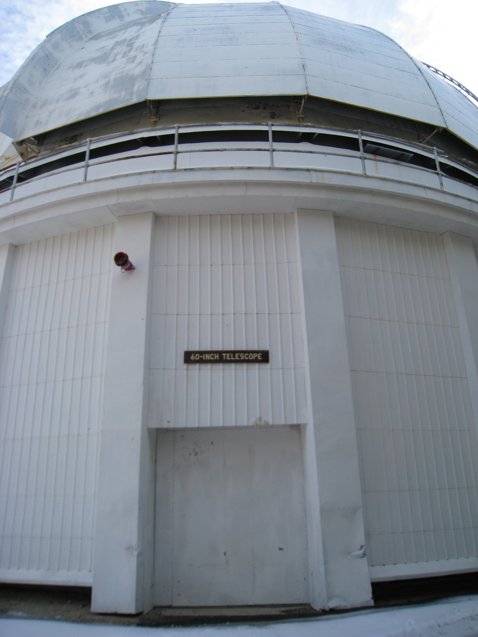
 43 The roads are covered in black ice, almost more dangerous than the trails. It's cold up here. It was in the low 40s at the trailhead, so I'm guessing it must be 30s now. I am of course in my standard shorts and long sleeve tech shirt. Fortunately I had brought my light running gloves and beanie "just to be safe". |
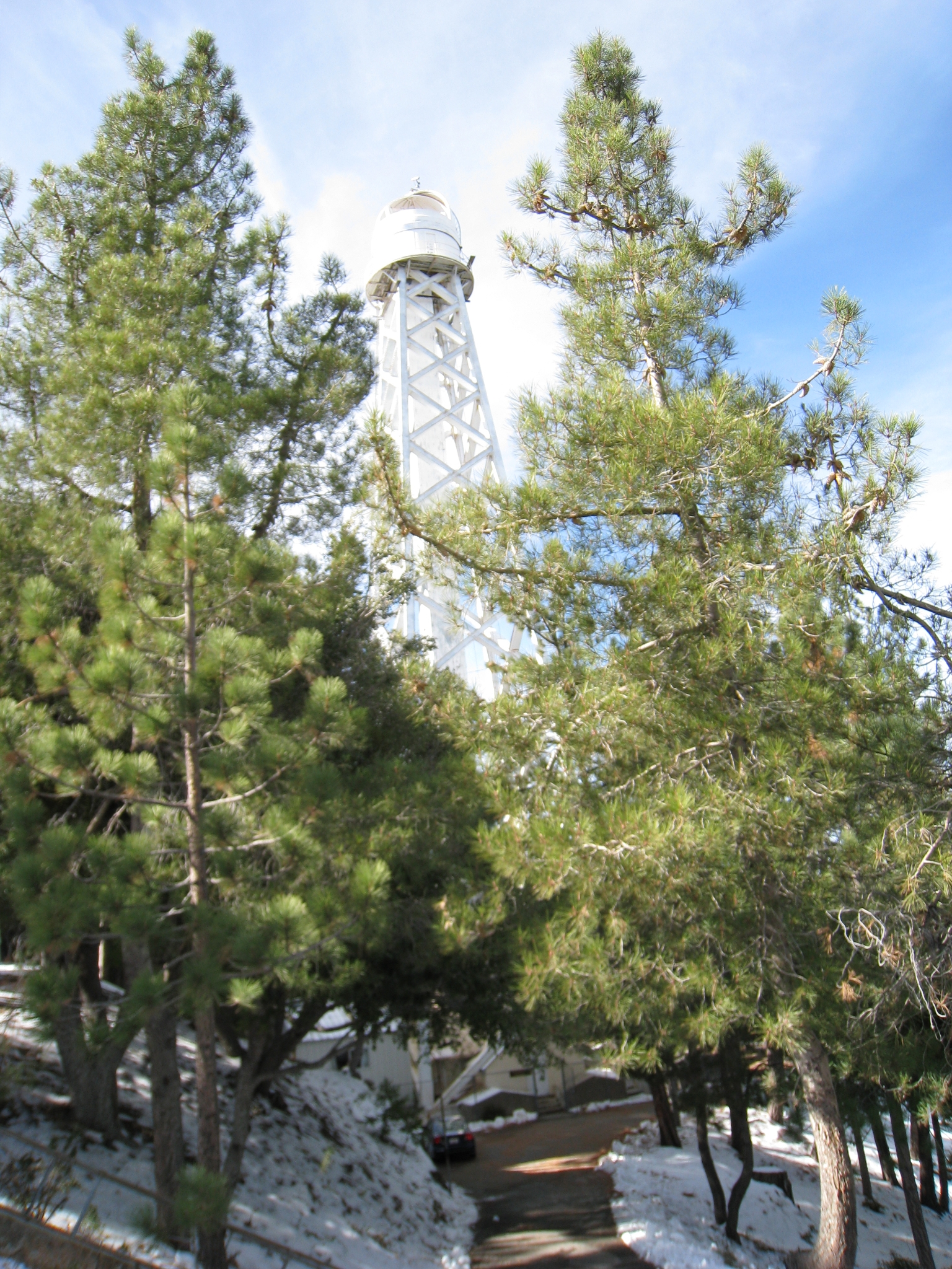
 44 The historic 60 inch telescope built in 1908. Evidentaly the largest in the world until 1917 and responsible for many major discoveries. |
 45 The 150 foot solar tower, operated by UC Berkeley. Go Bears! |
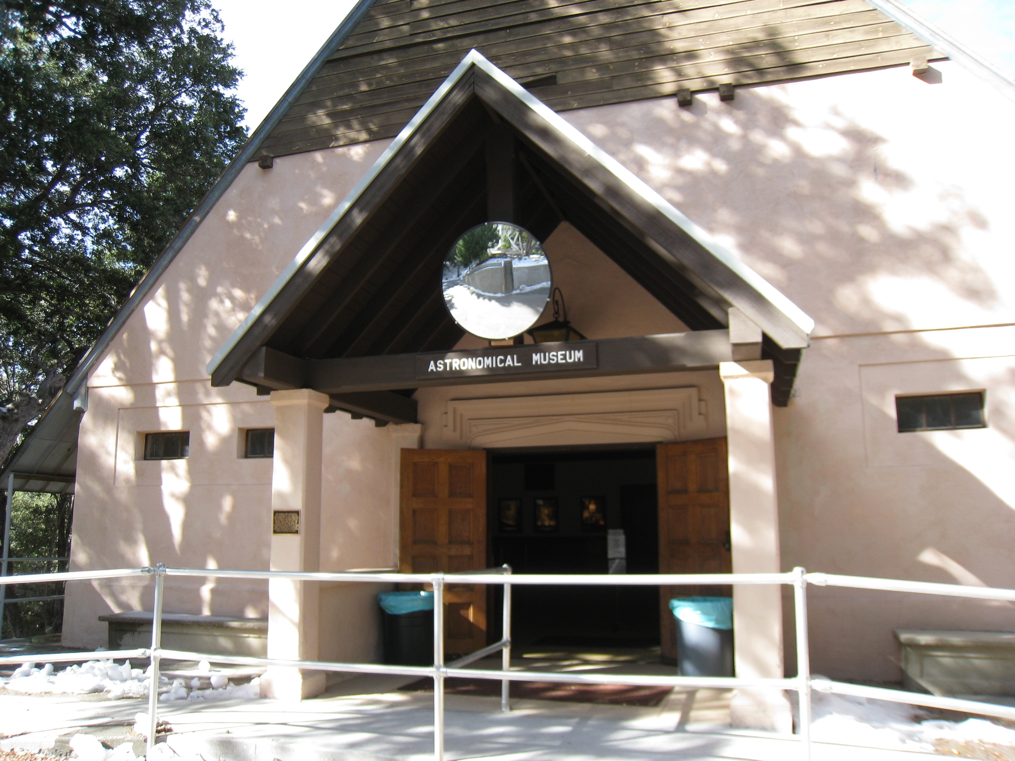 46 The Mt. Wilson Astronomical Museum. Evidently it closes for the winter aftter November 30th. Perfect timing! I wouldn't mind coming up here again sometime for the full tour. |
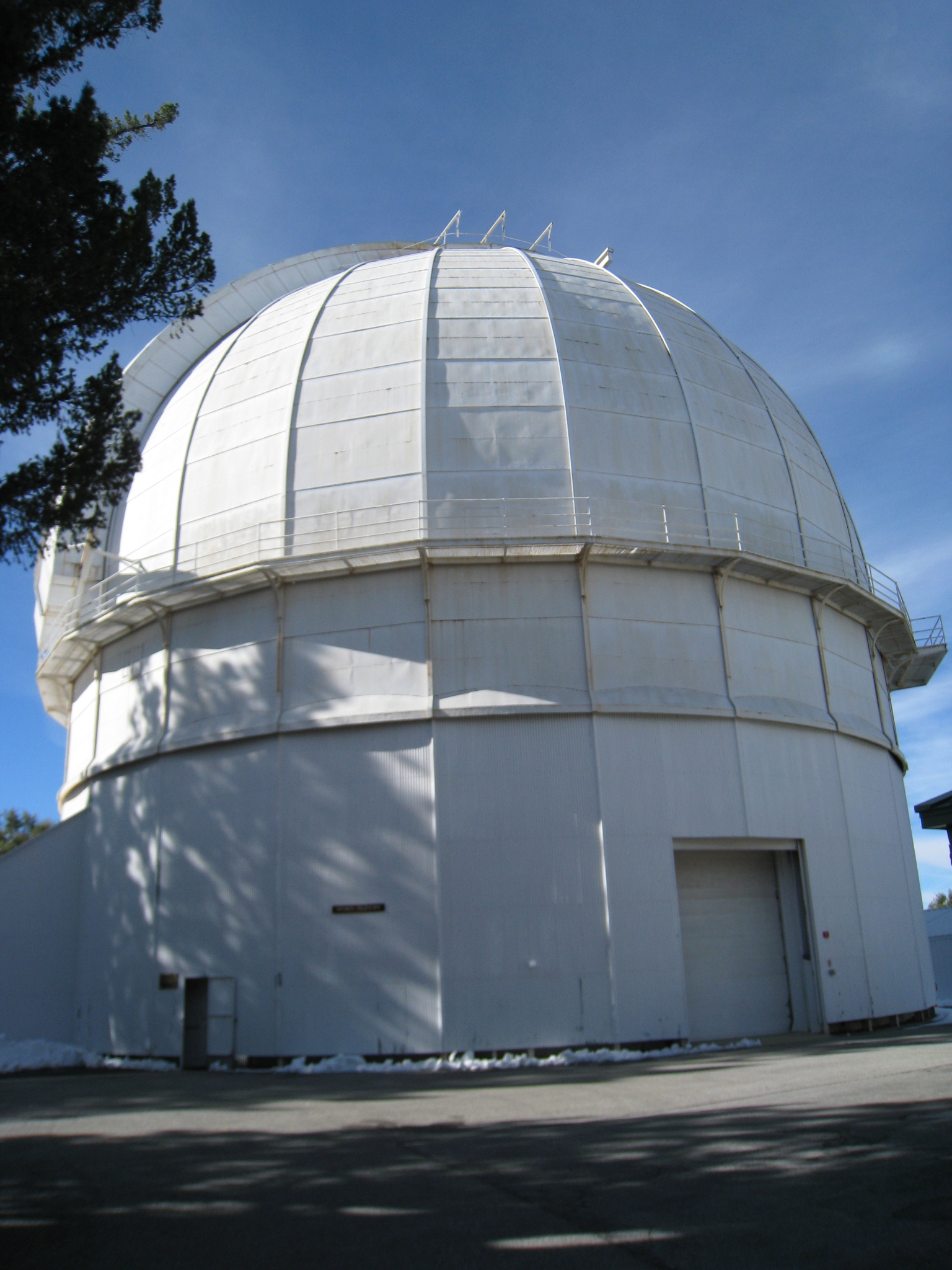
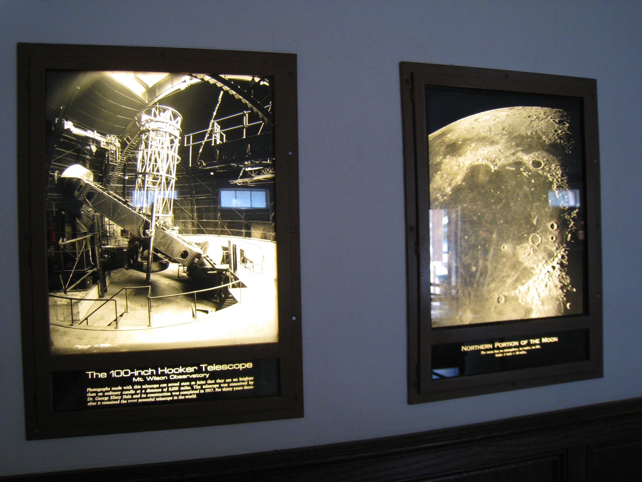 47 The museum is really small but has some fascinating displays inside. |
 48 The 100 inch telescope, built in 1917, was the largest in the world for over 30 years, and is still in use today. This marked the end of my ascent. I now head-down full speed (only slowing for a few treascherous spots on the snow ledges). I had a few near wipeouts on the way down, but nothing major. In the end, it was roughly 4 hours up, 2 hours down, and a 1/2 hour on top. |