
That trailhead is tough to find. It's a couple miles up a little service road from the highway. The road ends in a bunch of private property with foreboding "No…
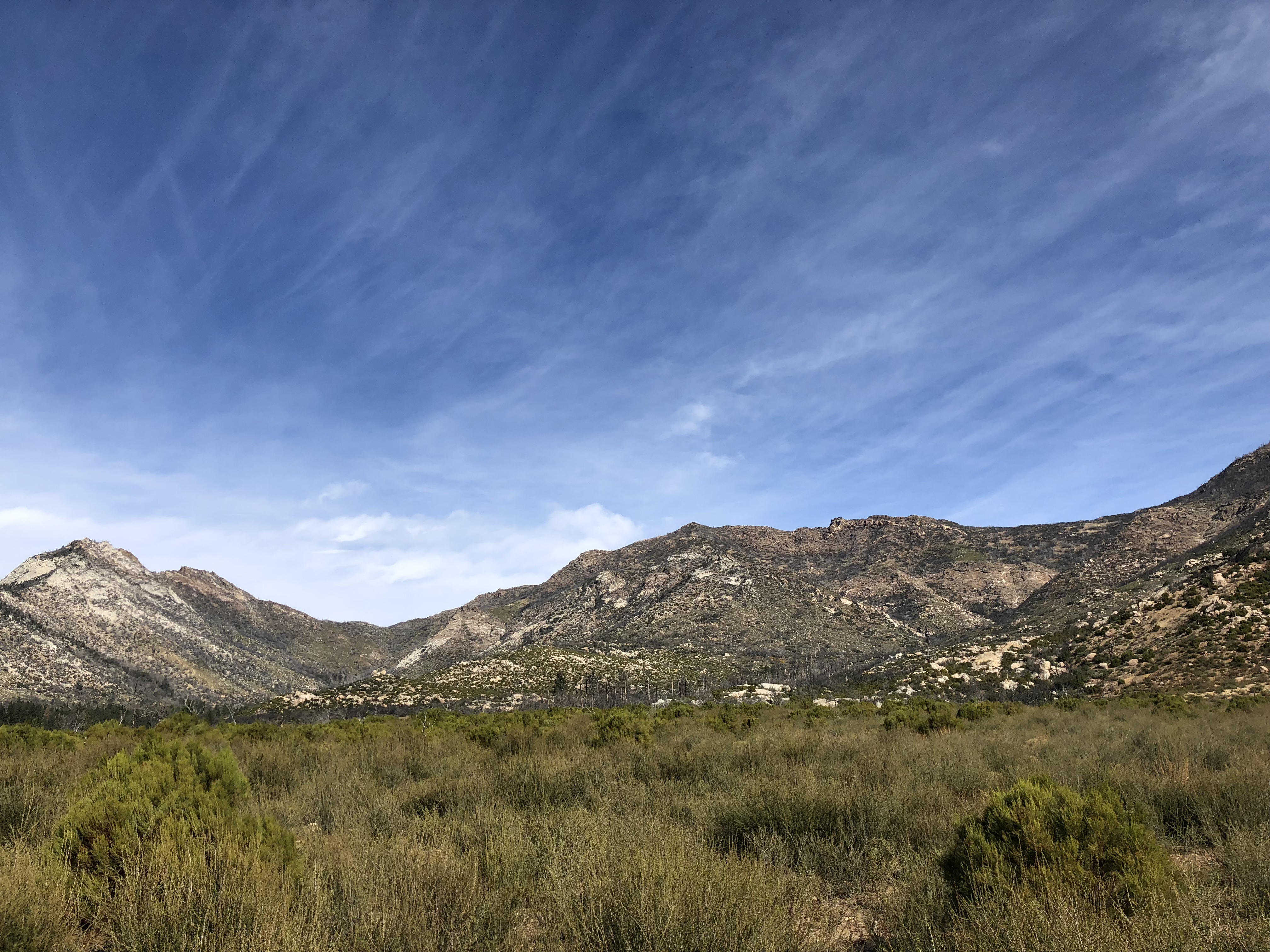
Defintiely very different terrain than my last several San Jacinto hikes. Much more of a high desert feel. But I found it to be beautiful.
This trail is an emergency detour for the PCT since a section of the PCT has been closed for the last few years due to fire damage.
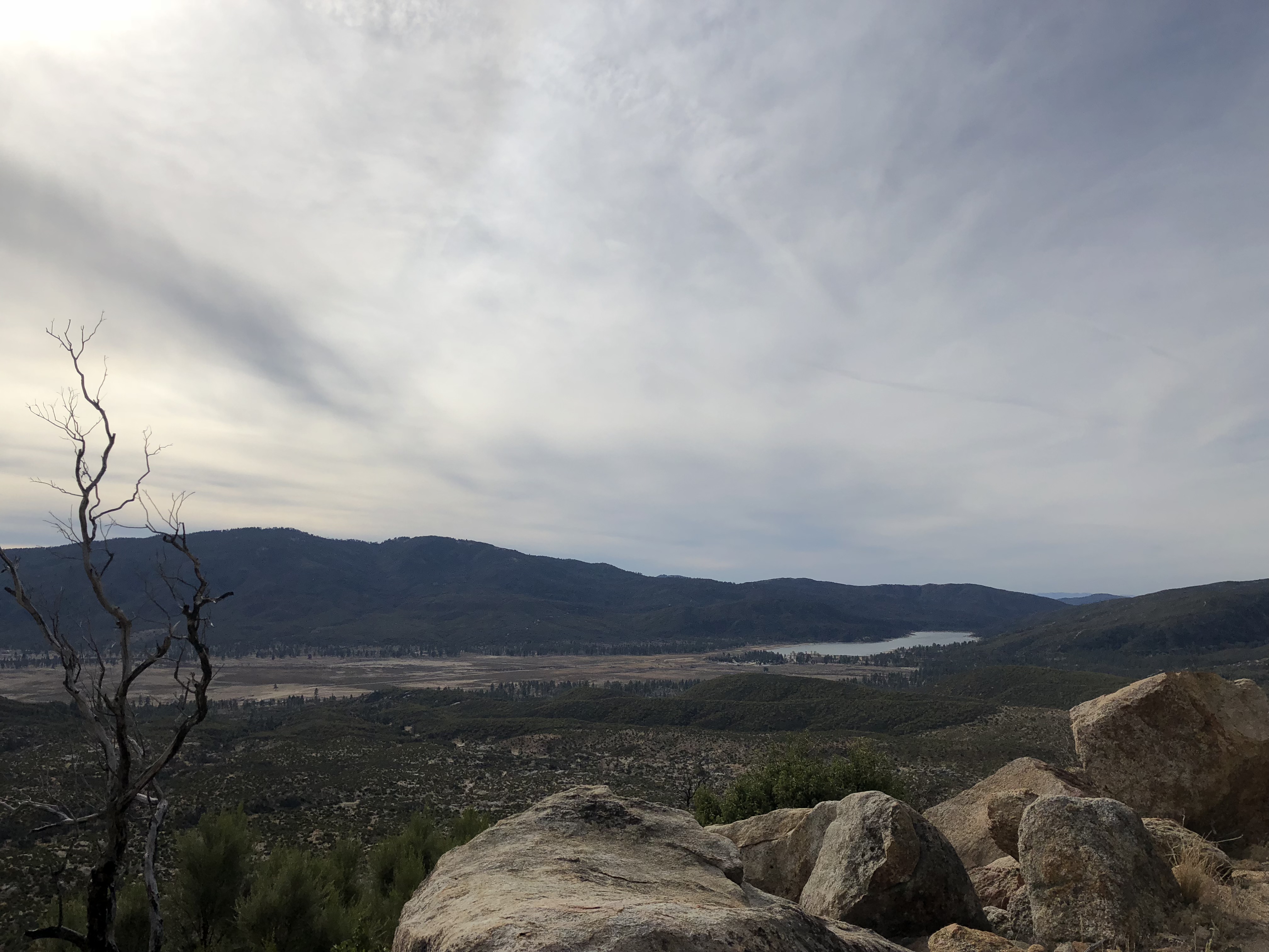
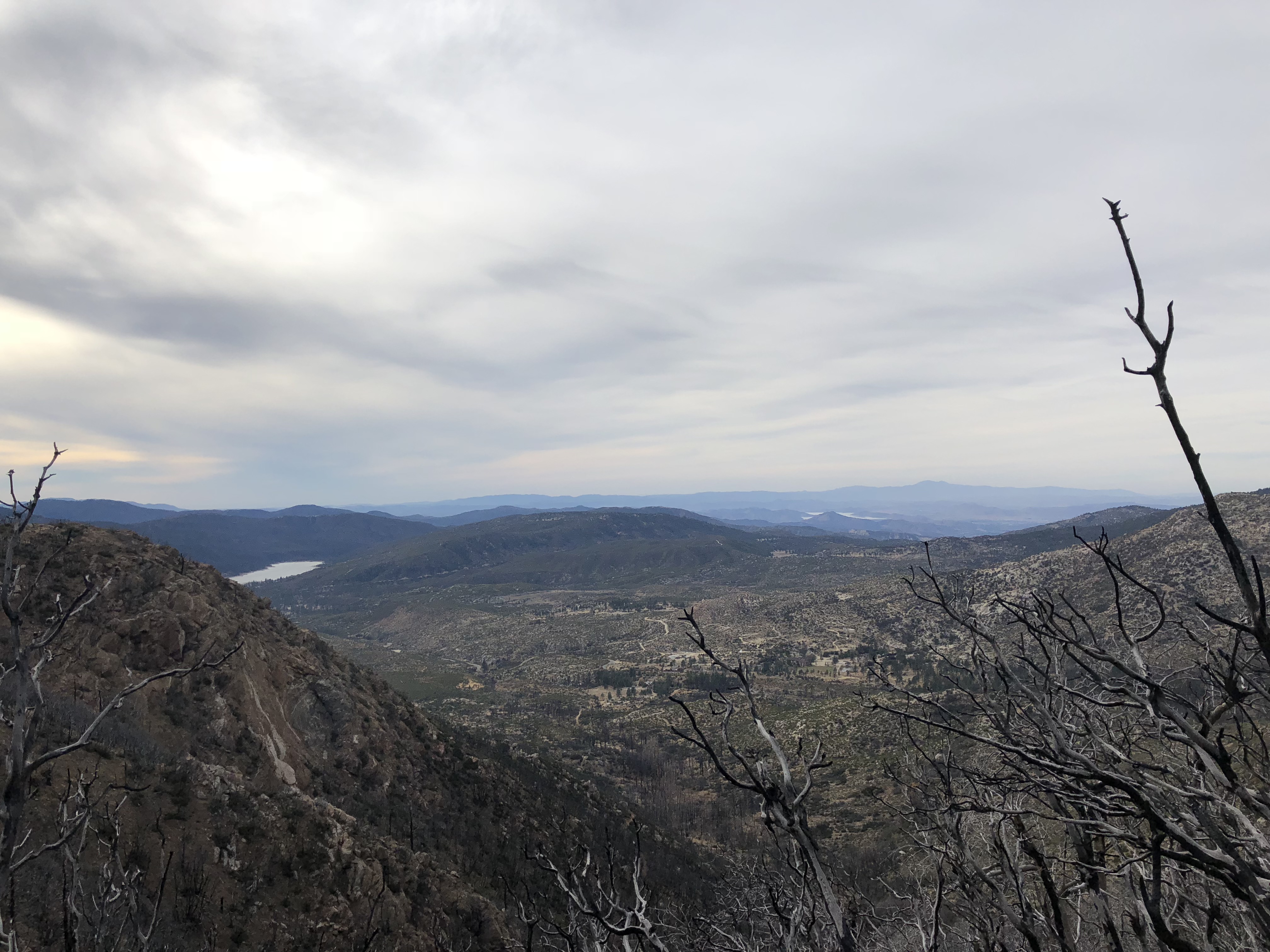
Starting to climb up off the valley floor with nice views of Lake Hemet.
Nice rugged single track with expansive views.
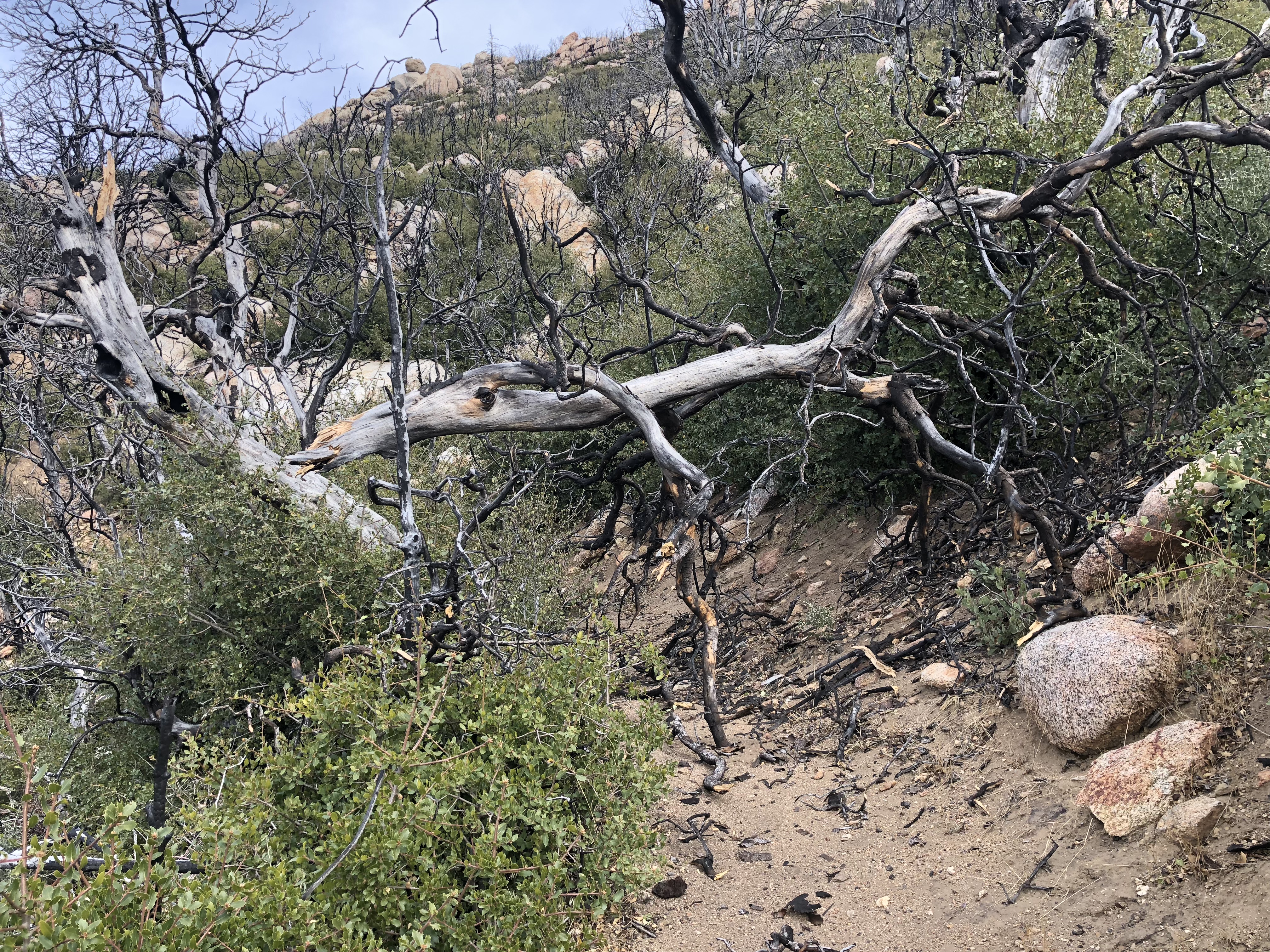
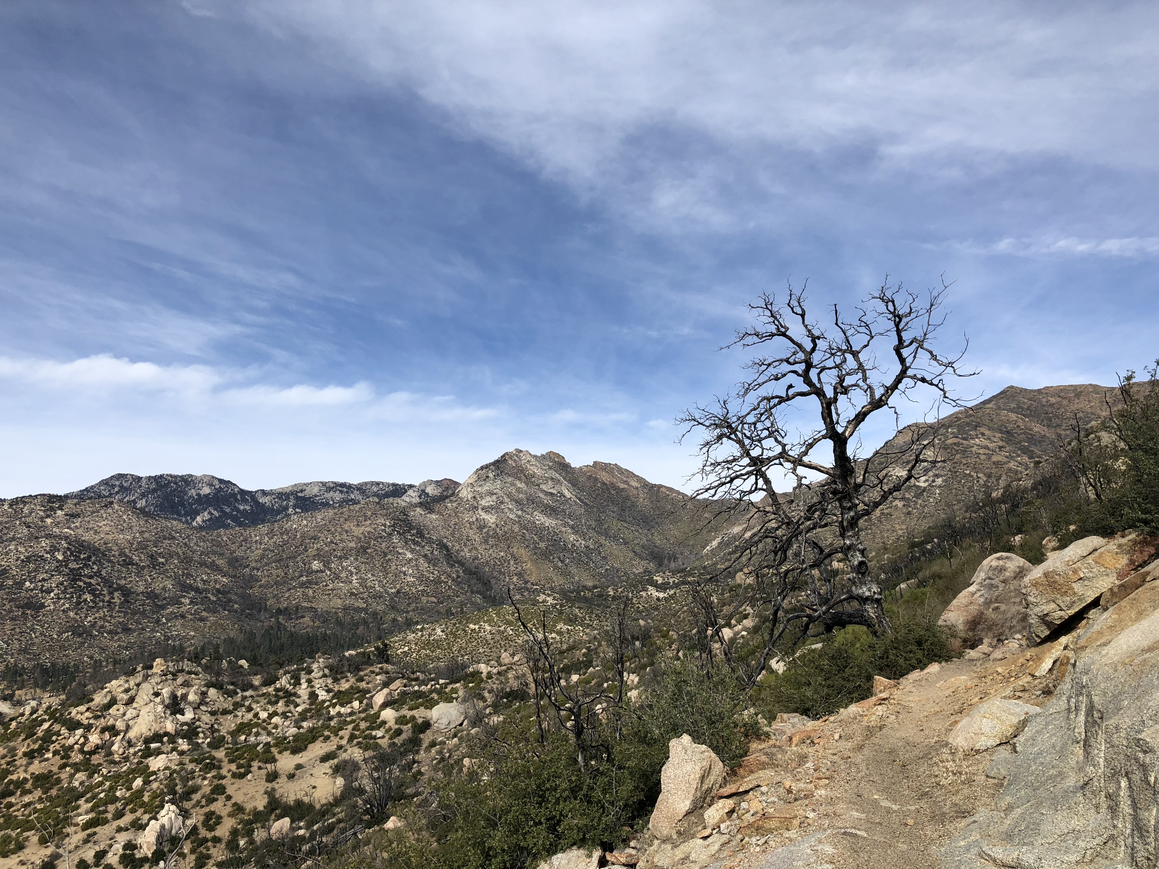
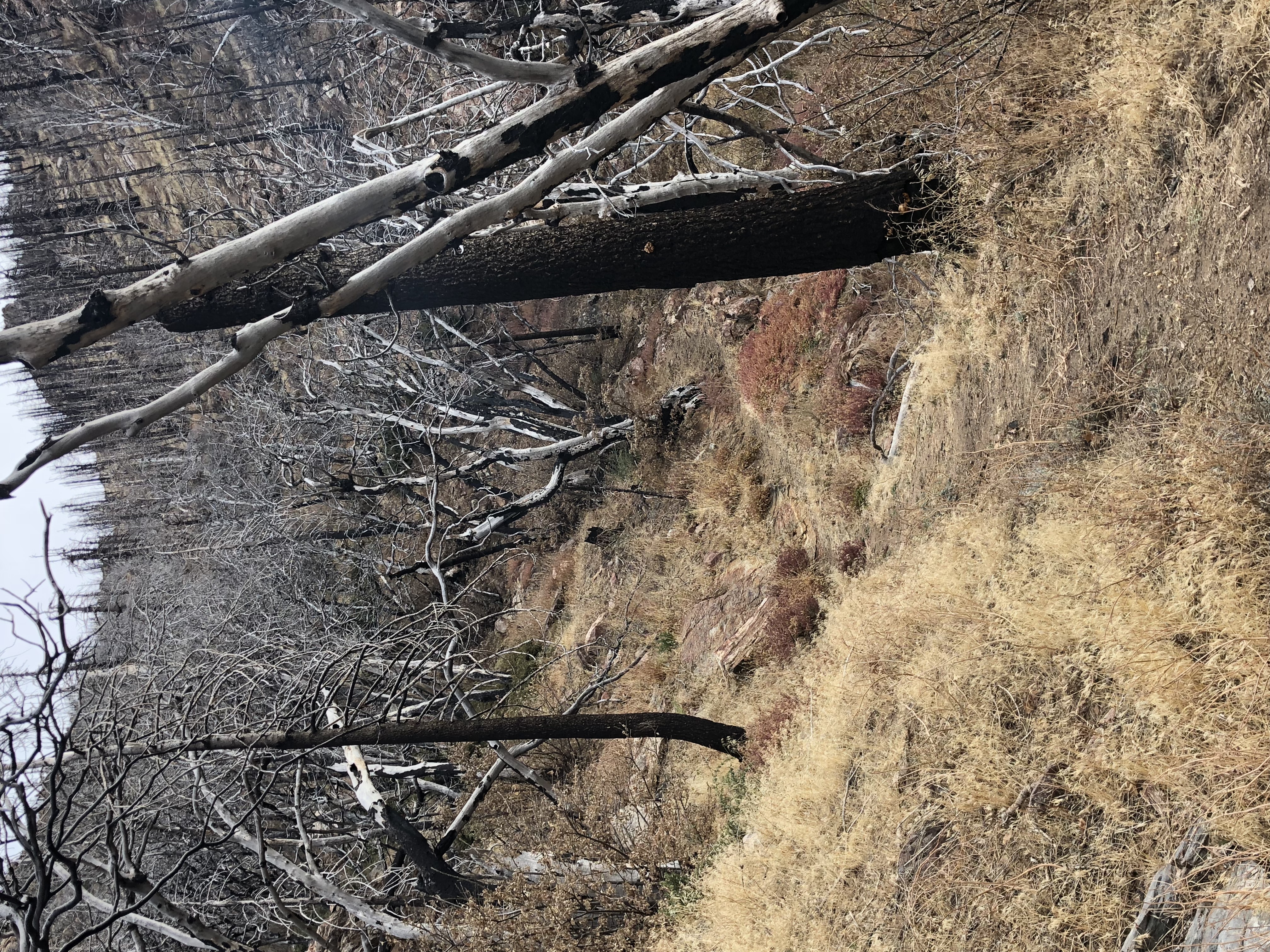
This area was wiped out by the fire in 2013. The chapparal has all grown back, but the oaks have not. And there was quite a bit of treefall from the recent…

There was probably some great tree cover before the fire.
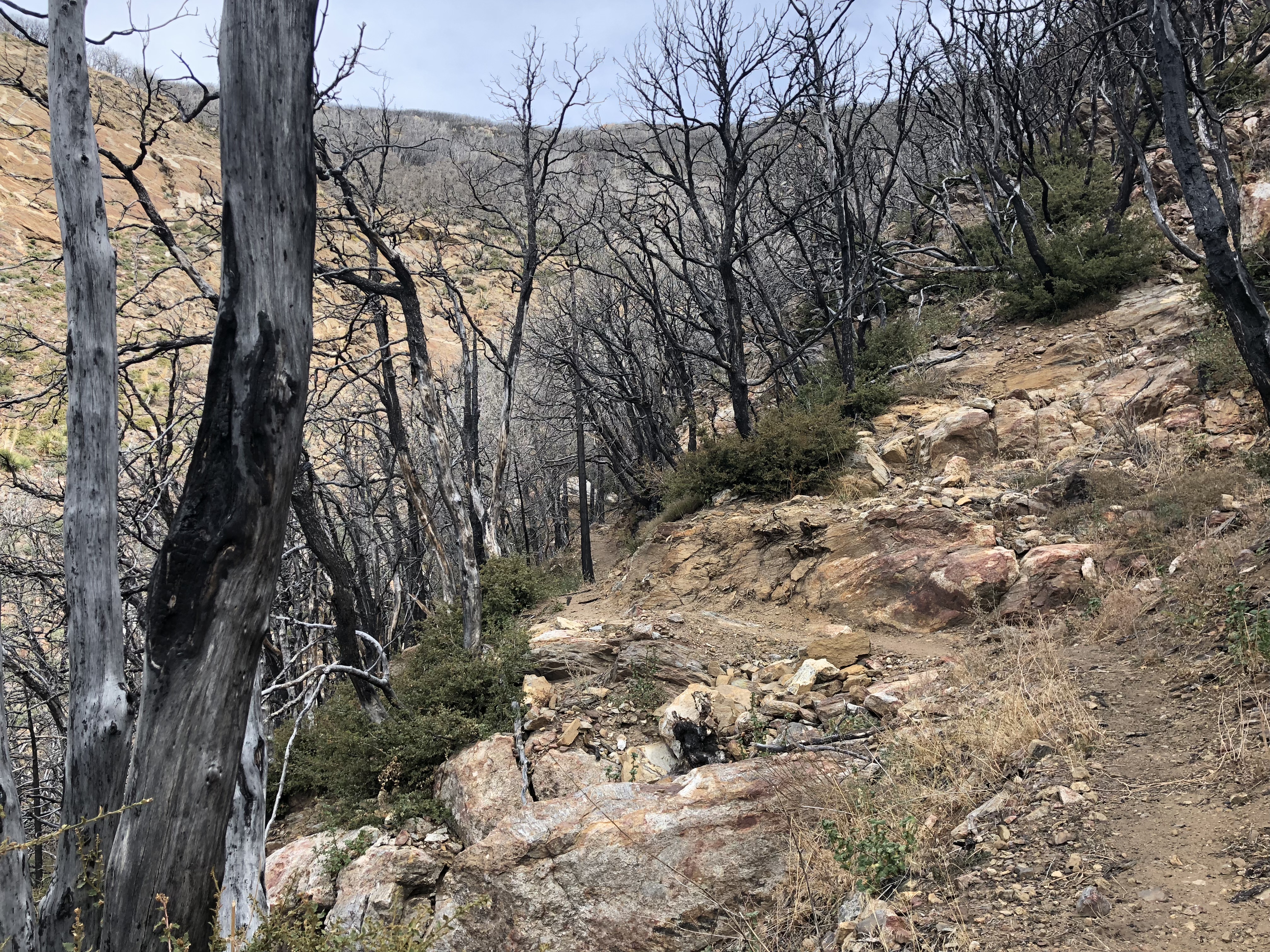
Another look at the singletrack winding through what used to be oak forest.
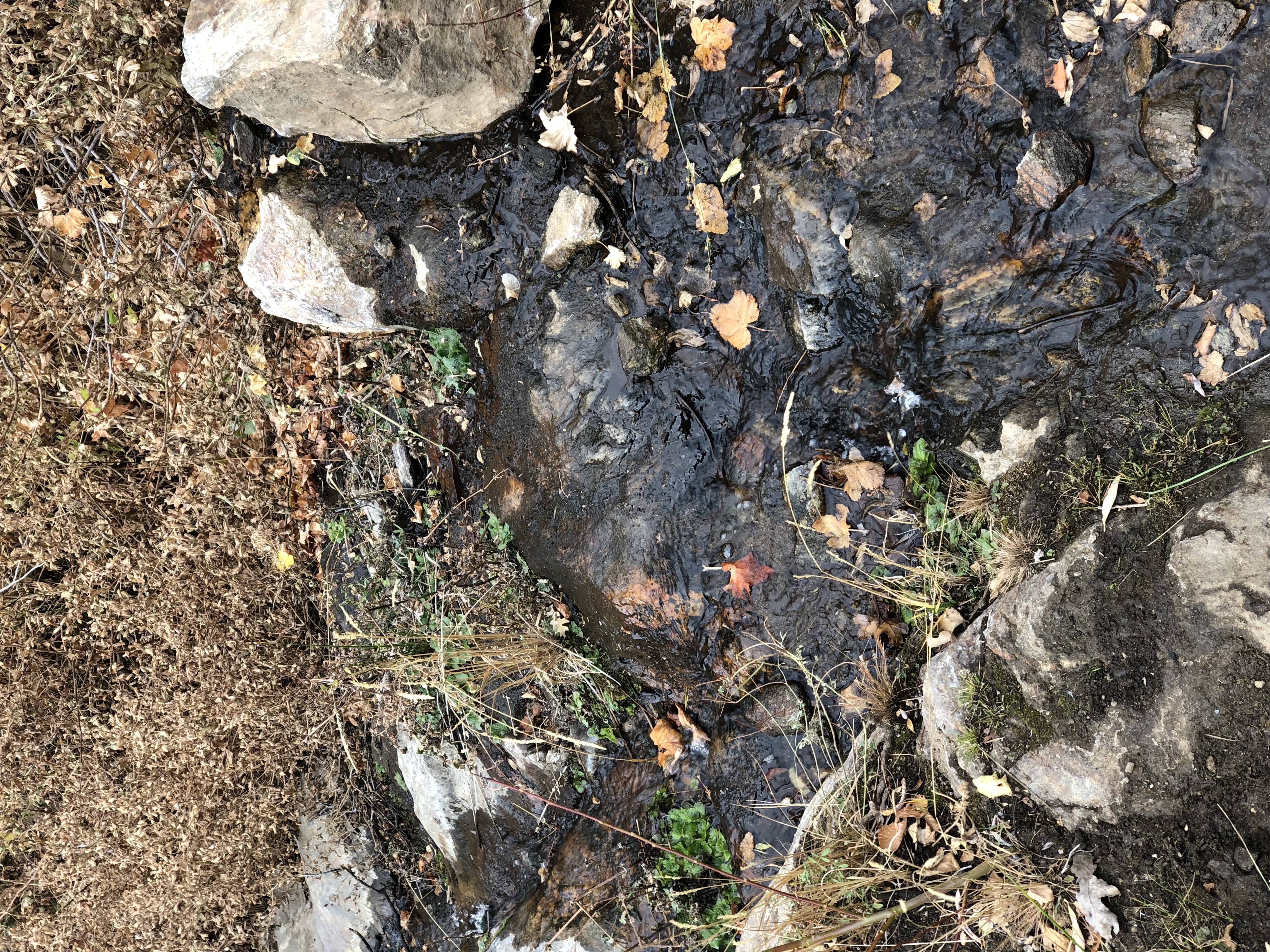
Amazingly, there was actually still a stream flowing here.

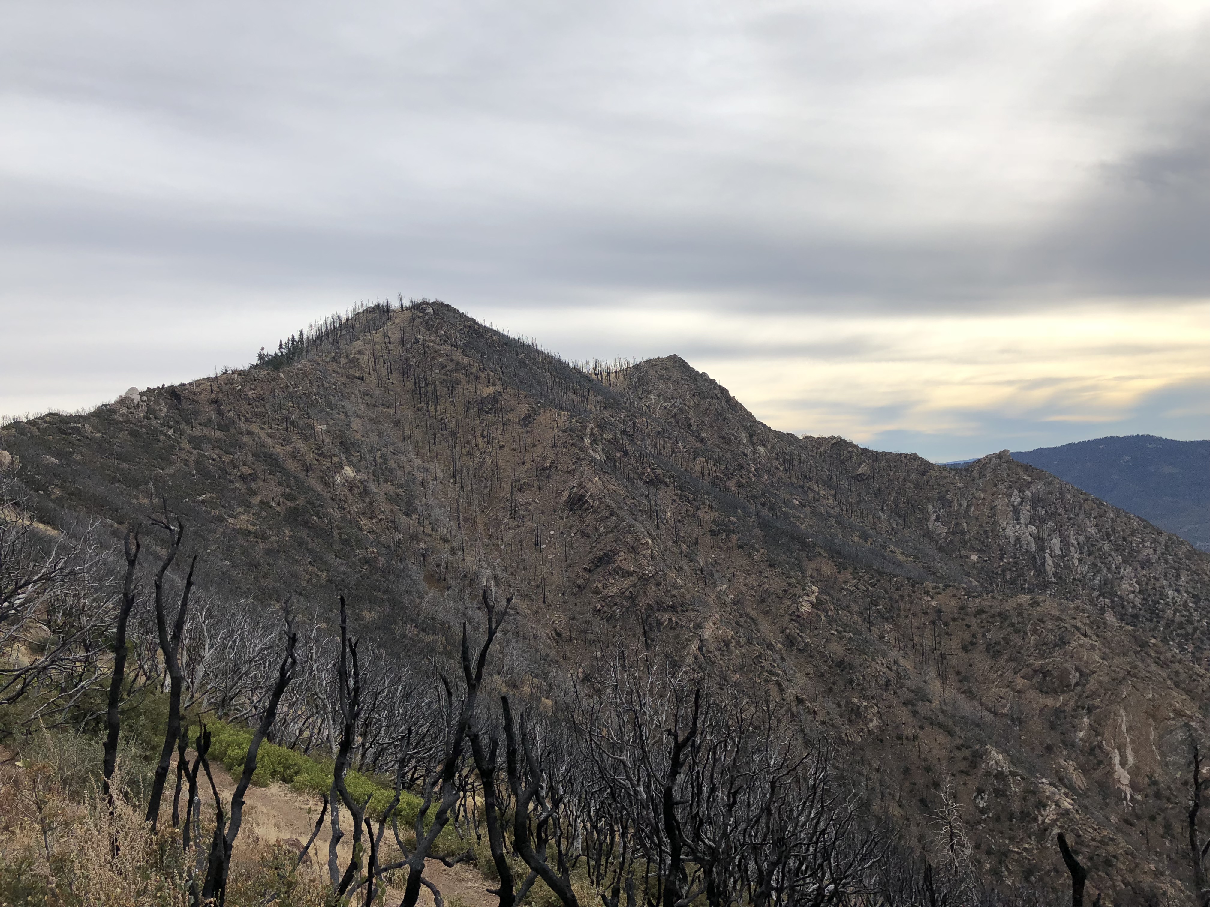
Almost to the ridge.

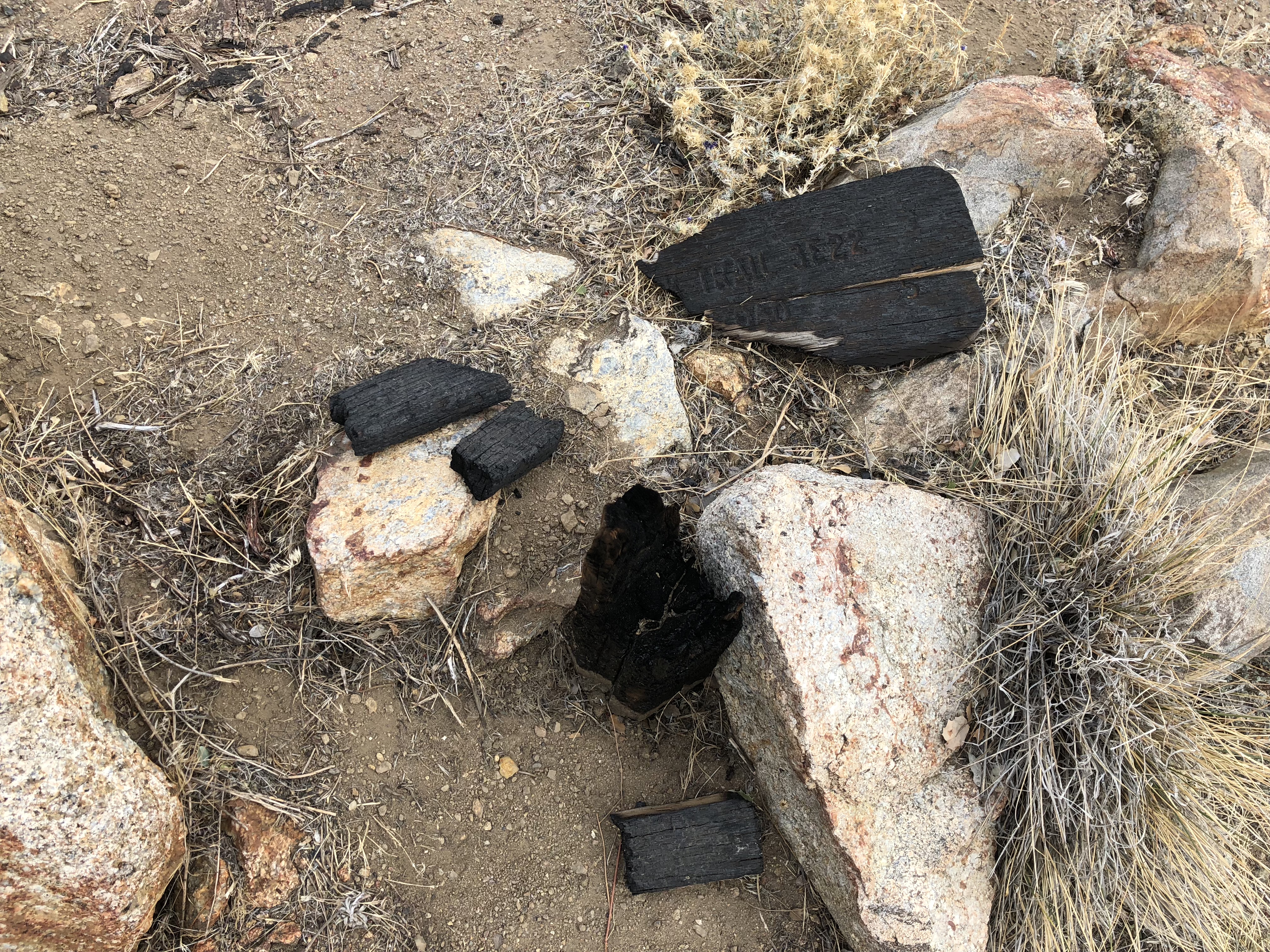
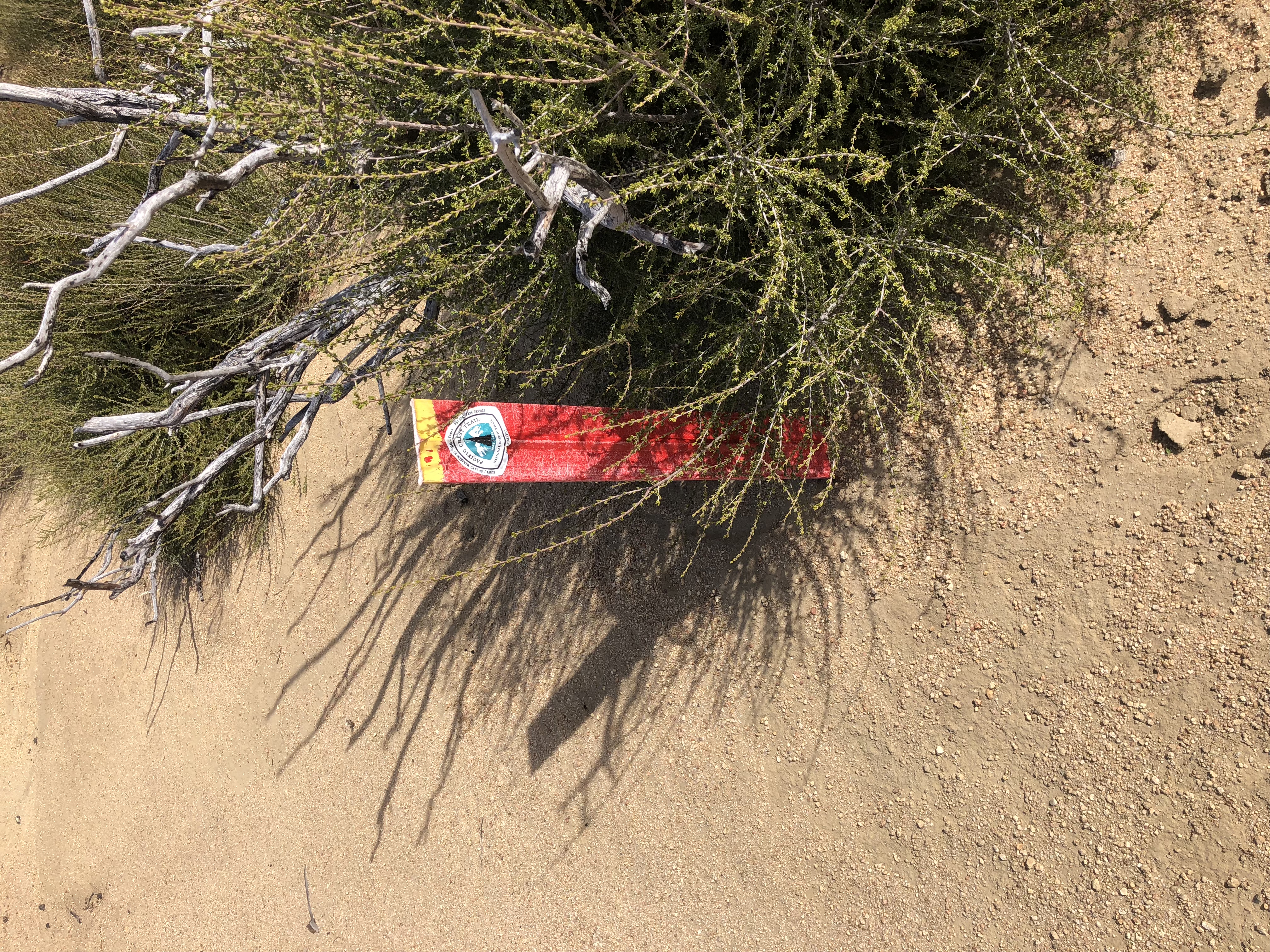
What remains of the Spitler Peak trail sign.

Pictures don't do it justice, but the views over the other side of the ridge are just awesome. Because of the winds, the air was crystal clear with great…

Great view of the Salton Sea. That canyon is almost 7,000' down.

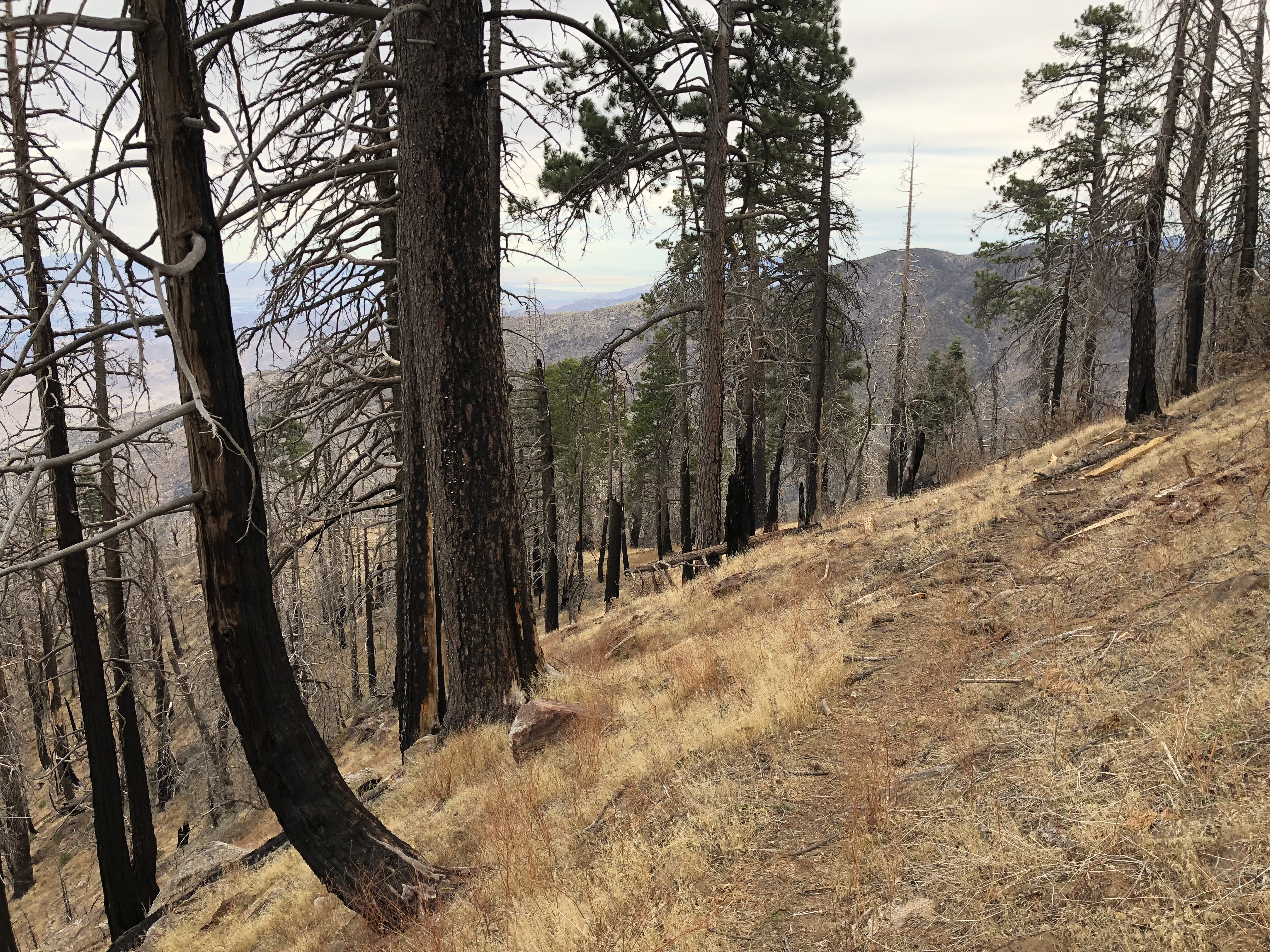
Heading up the PCT towards Spitler Peak.

This is an awesome, hardly used, section of the PCT. I haven't seen a single human so far.
Starting to head down the PCT on the other side. I've passed the little use trail to the Spitler Peak summit, so I have to backtrack. This area must really be…