Headed up the Heaton Flats trail to Heaton Saddle. I had been here exactly one week earlier and went about half way. Today the plan was to finish the job. It's…
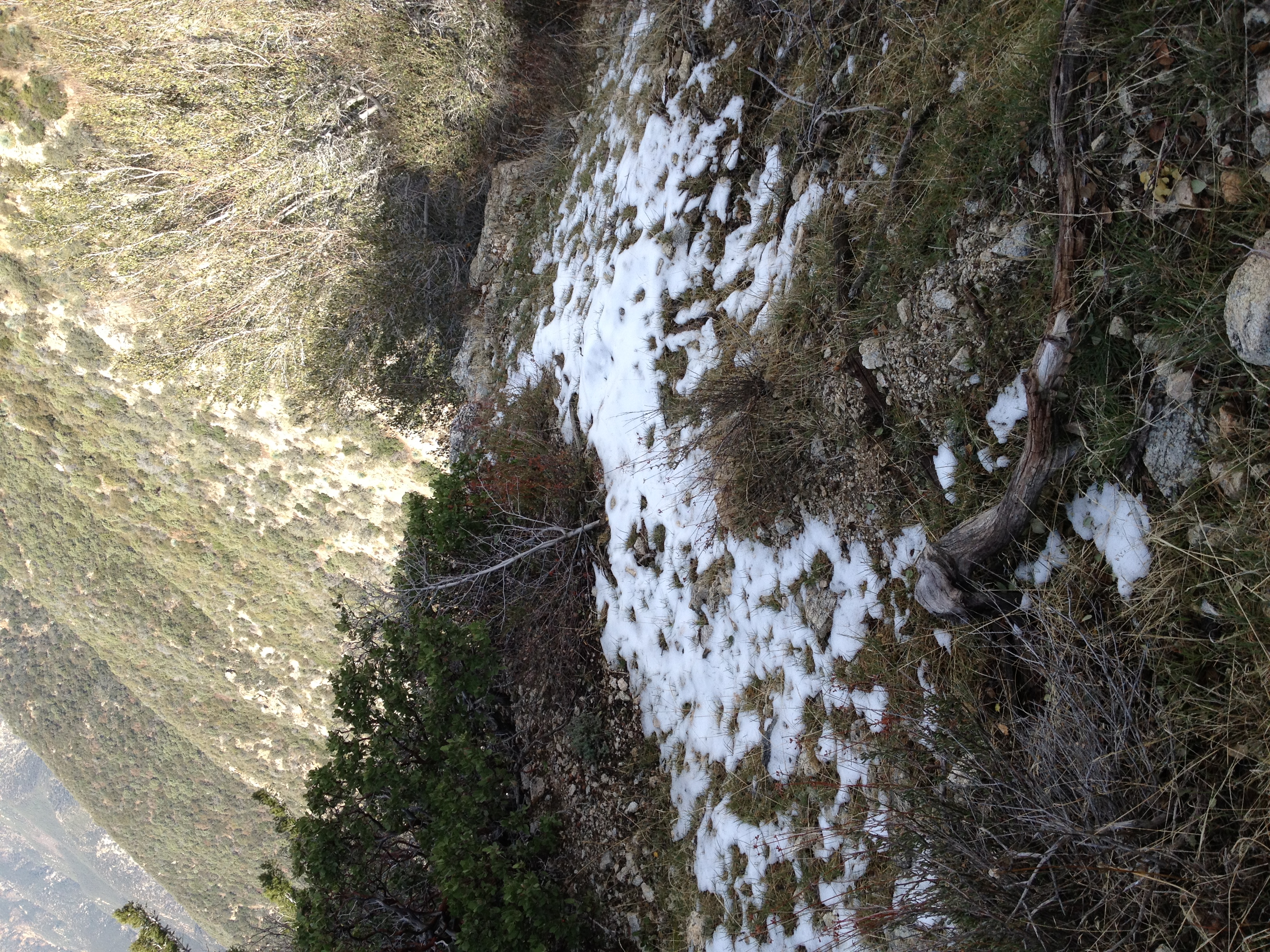
The first sign of snow at just over 4000'. There would be patches of snow along the trail for much of the way, but never anything that made finding the trail…
Back to Heaton Saddle where I left off last time. Over half the way to the summit mileage-wise, but less than a third the way based on elevation gain. Like…
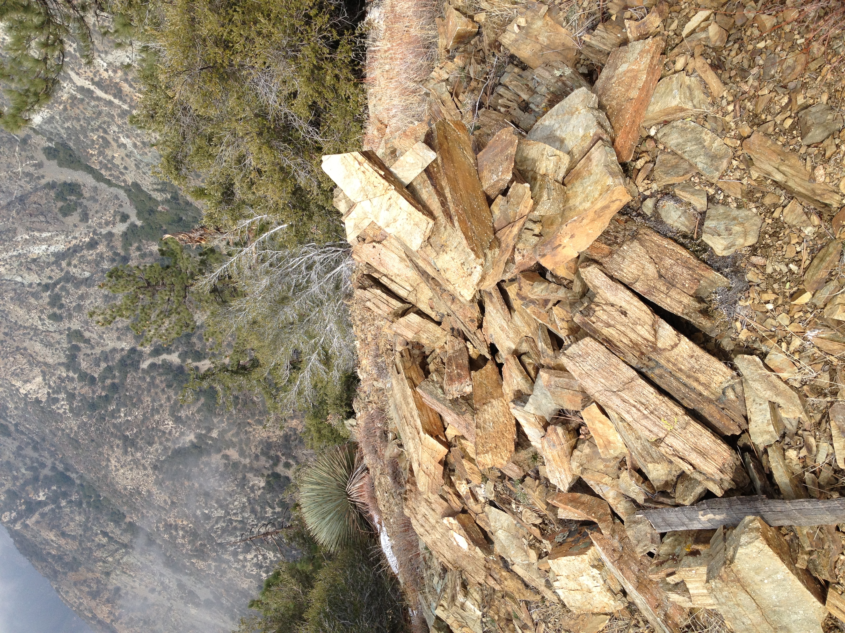
I believe this is a marker indicating where you can head down to the abandoned Allison gold mine. There is no trail that I can see, but it's supposed to be a…
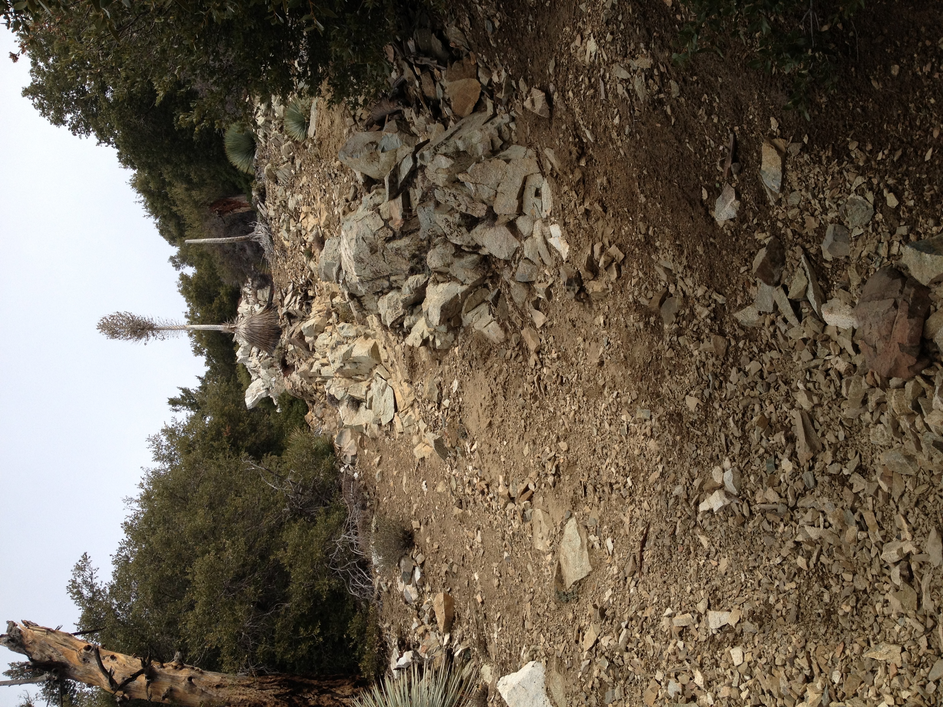
A typical steep scramble up loose rocks and dirt. Cactus to Clouds has a couple sections of similar grade towards the end, but there you often have large rocks…
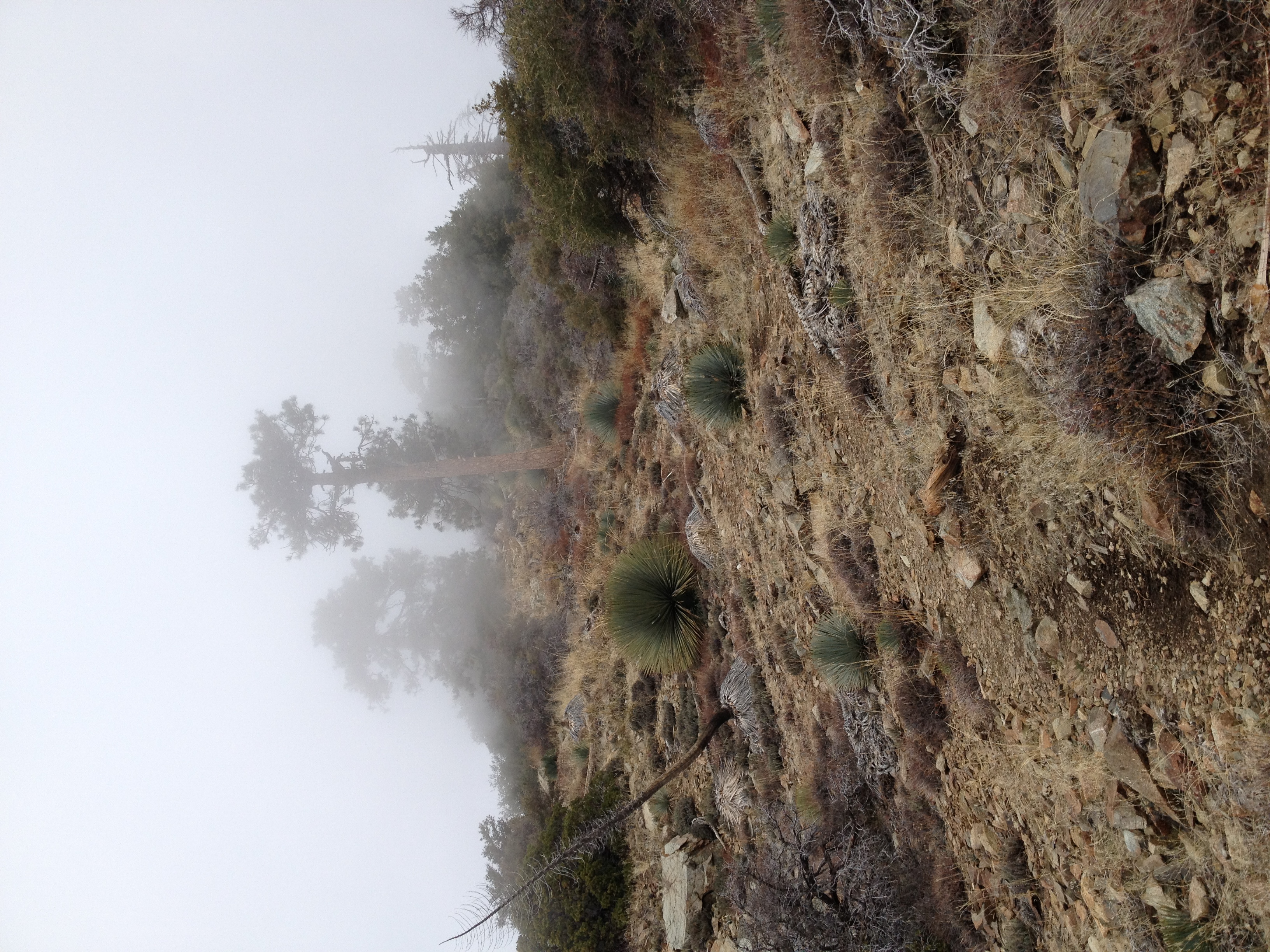
Another steep section of trail and the storm clouds are starting to move in. Normally I would love to get a little snow, but today my goal was time, so I was…
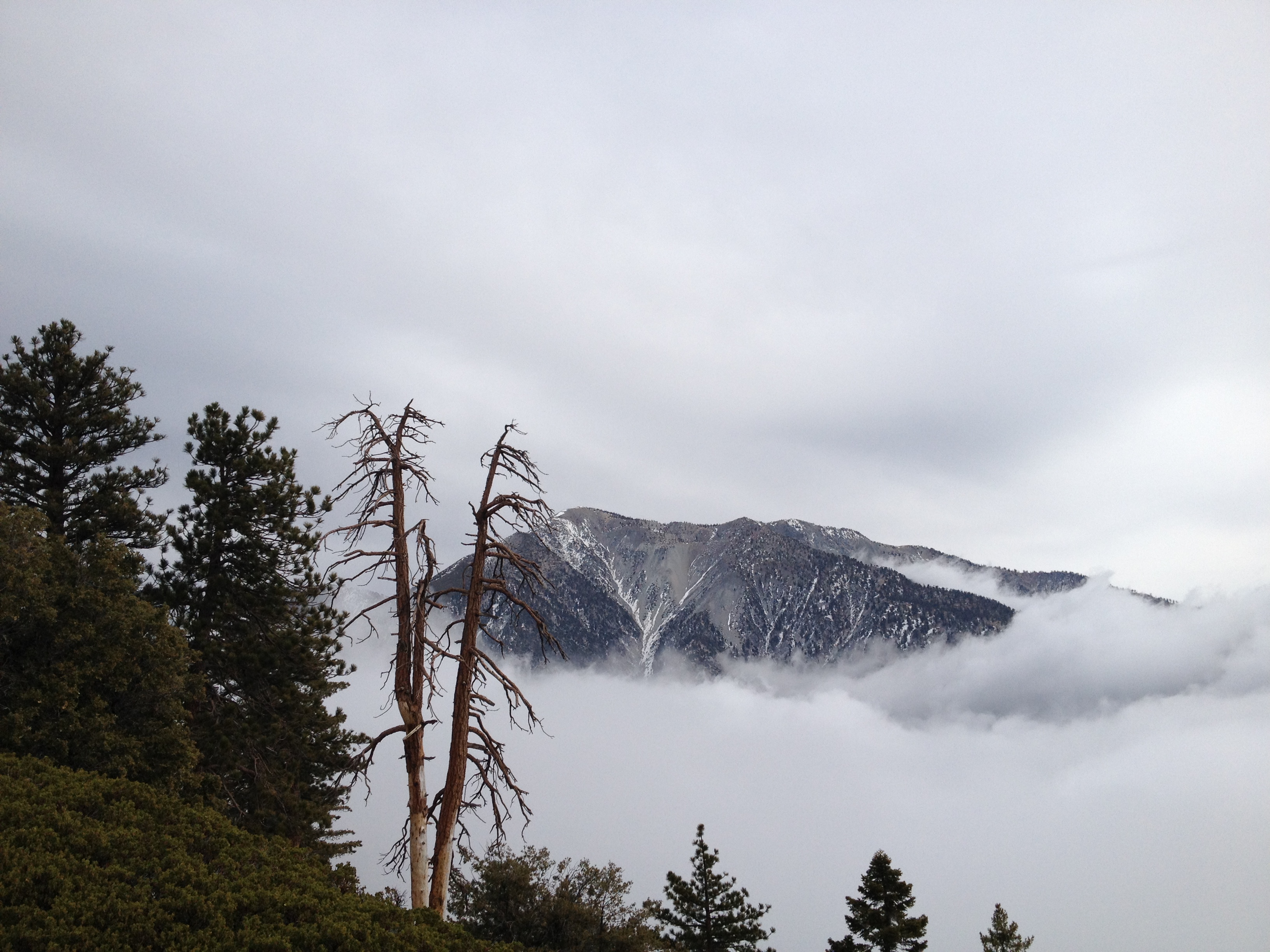
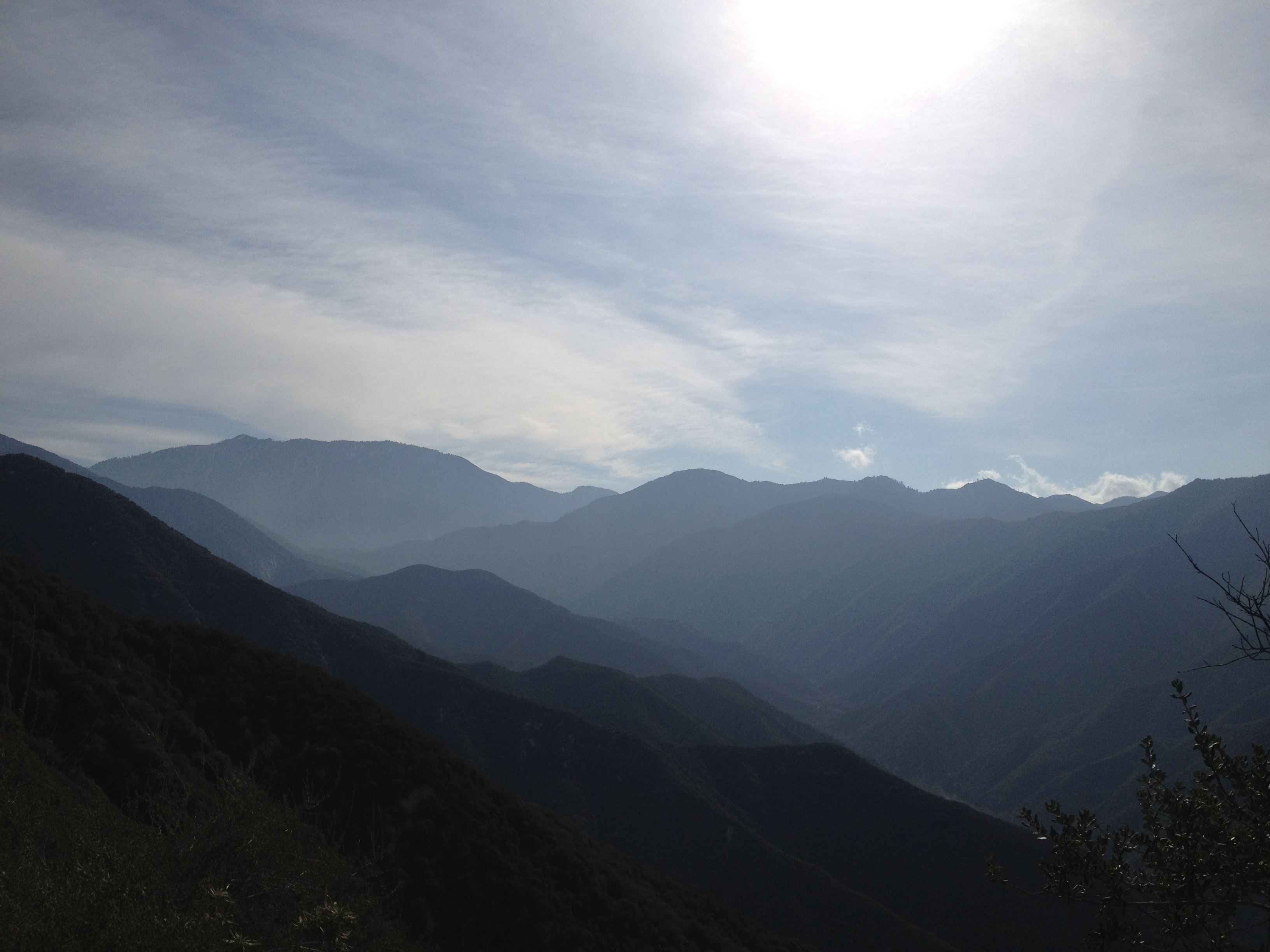
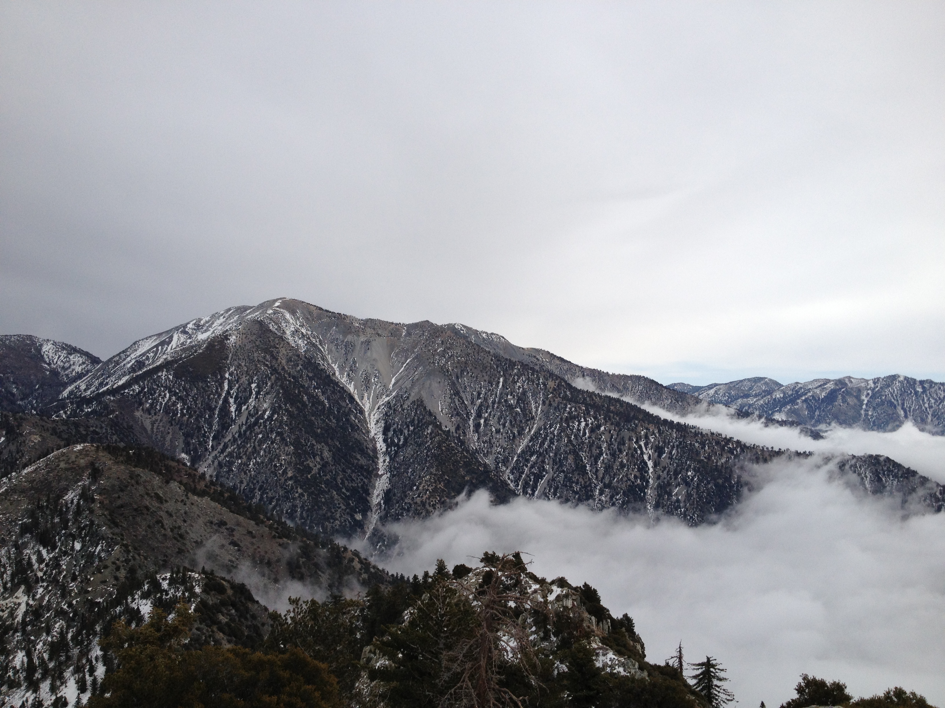
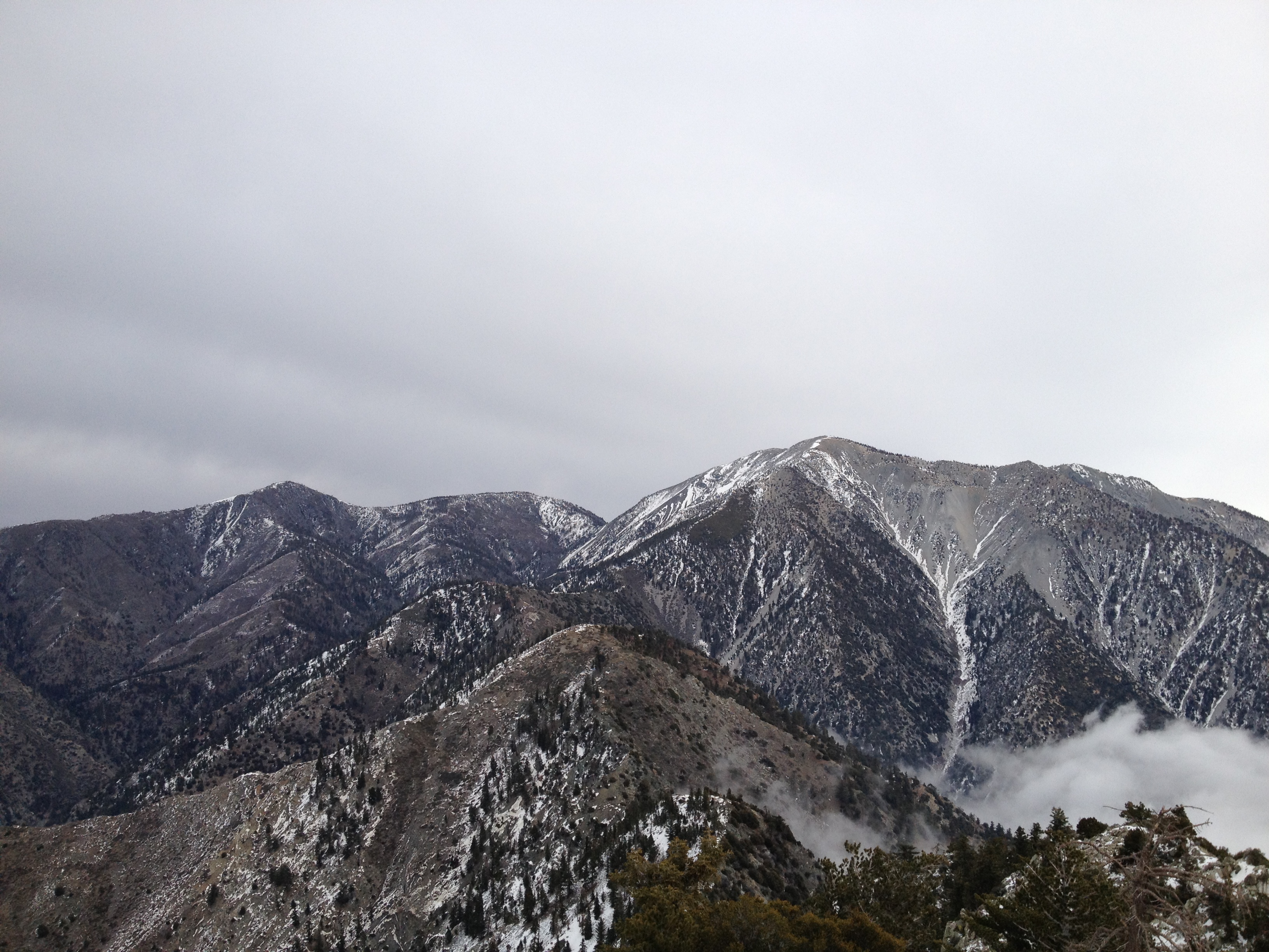
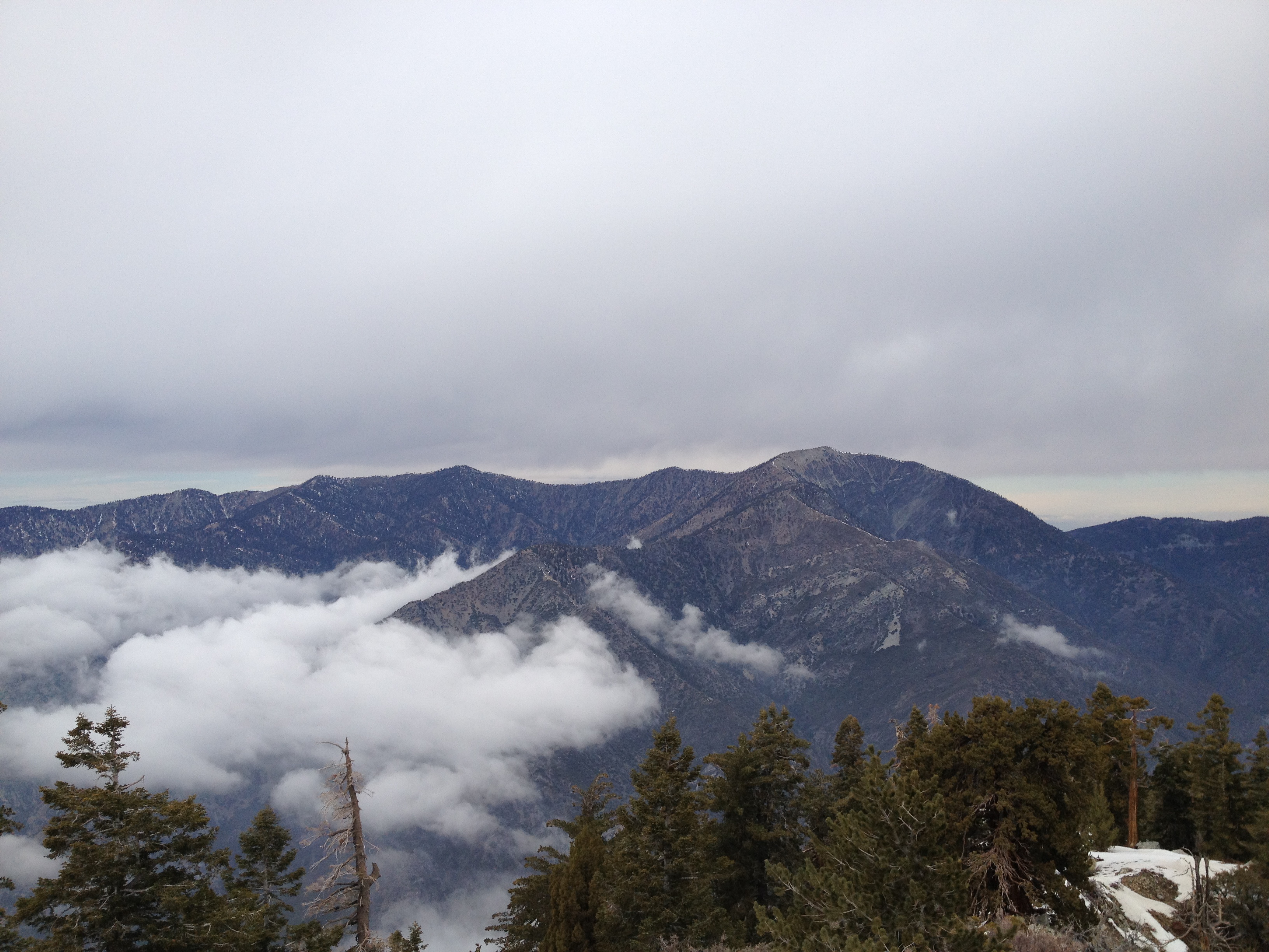
One of my favorite views from recent trips. Solid white cloud layers both above and below with just the Mt. Baldy peak poking out from the cloud bank.
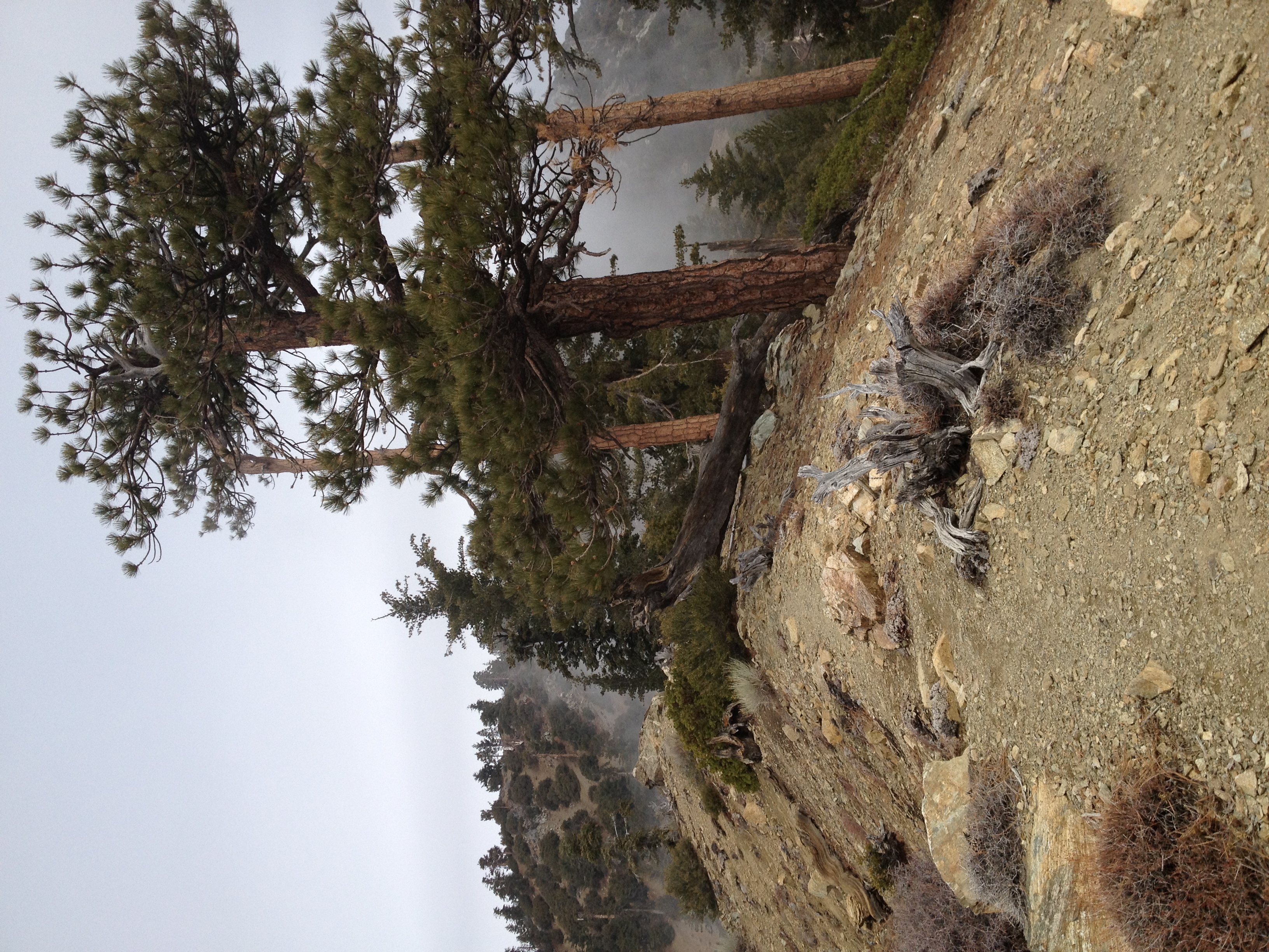
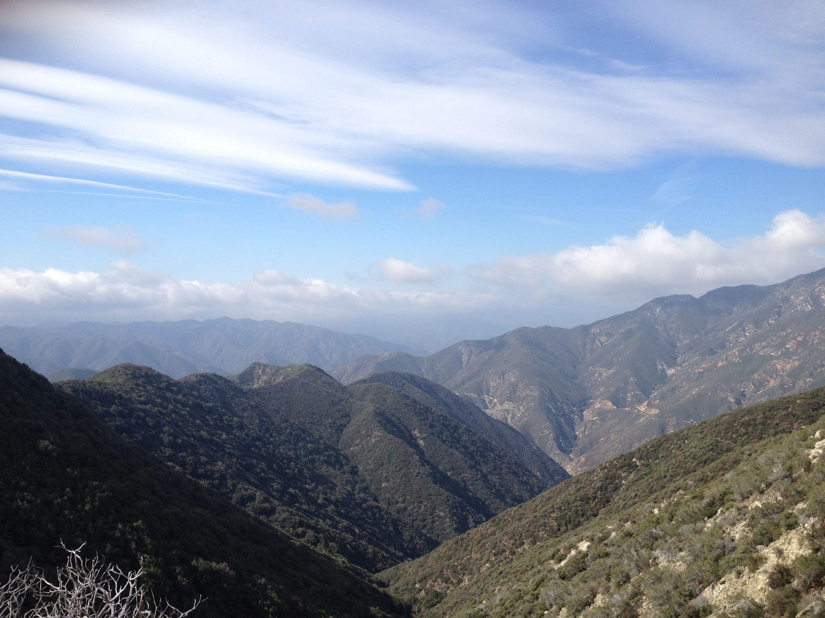
The ridge approaching the summit. Somewhat remiscent of the North Backbone Trail on Baldy.
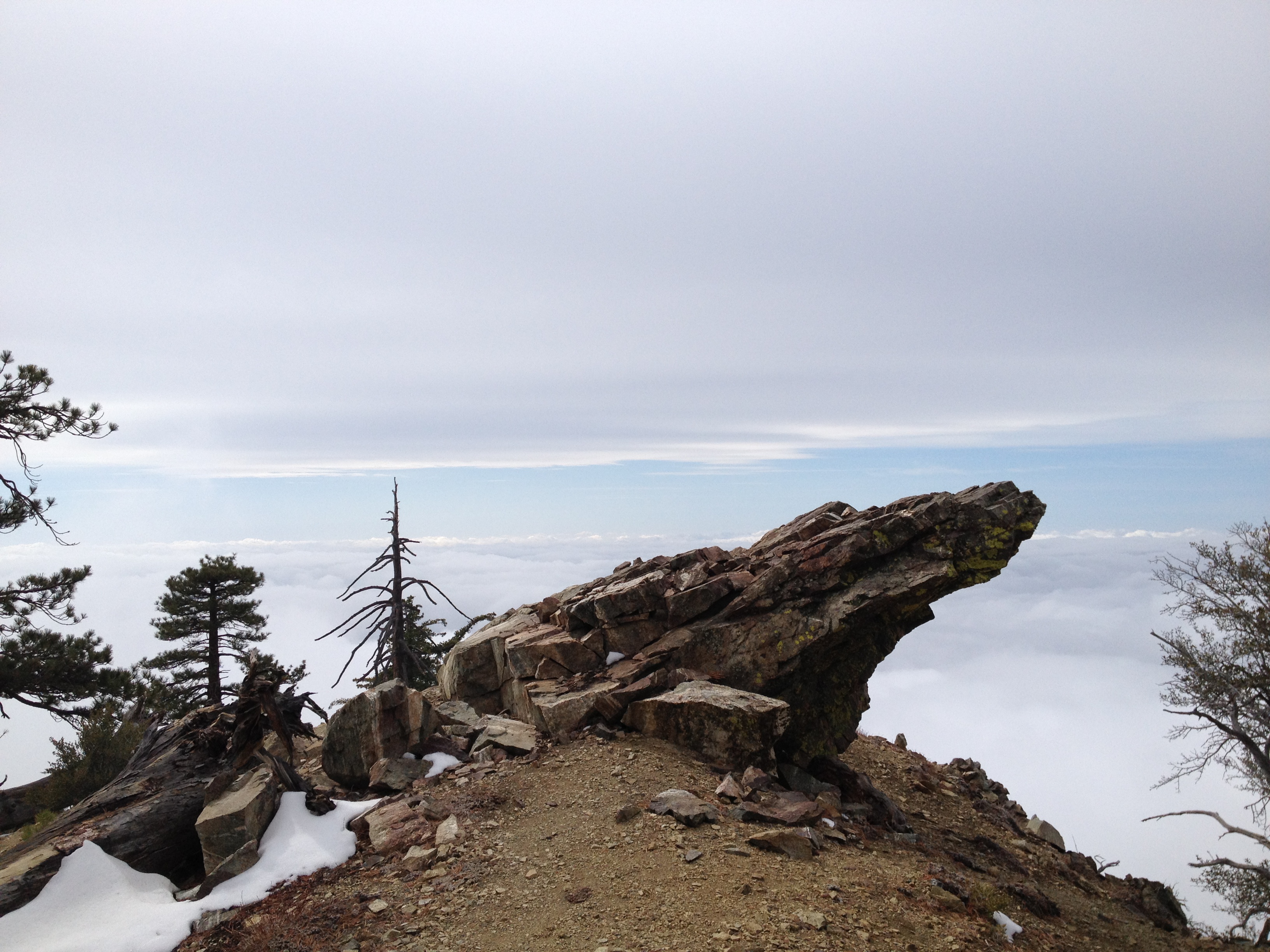
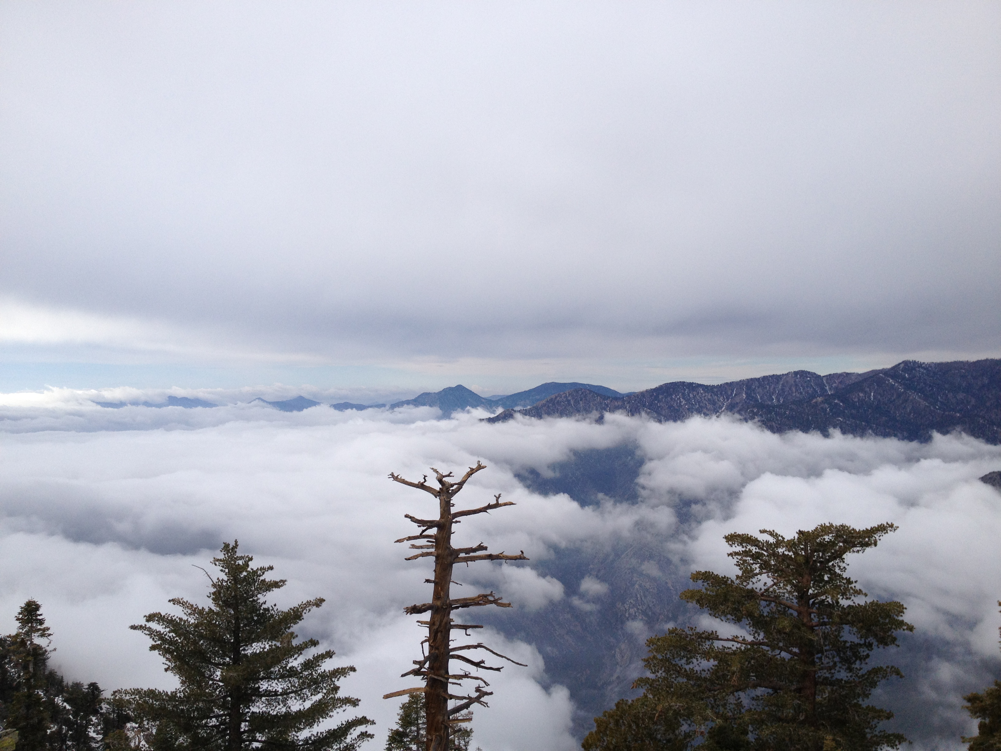
A cool rock formation above the sea of clouds.
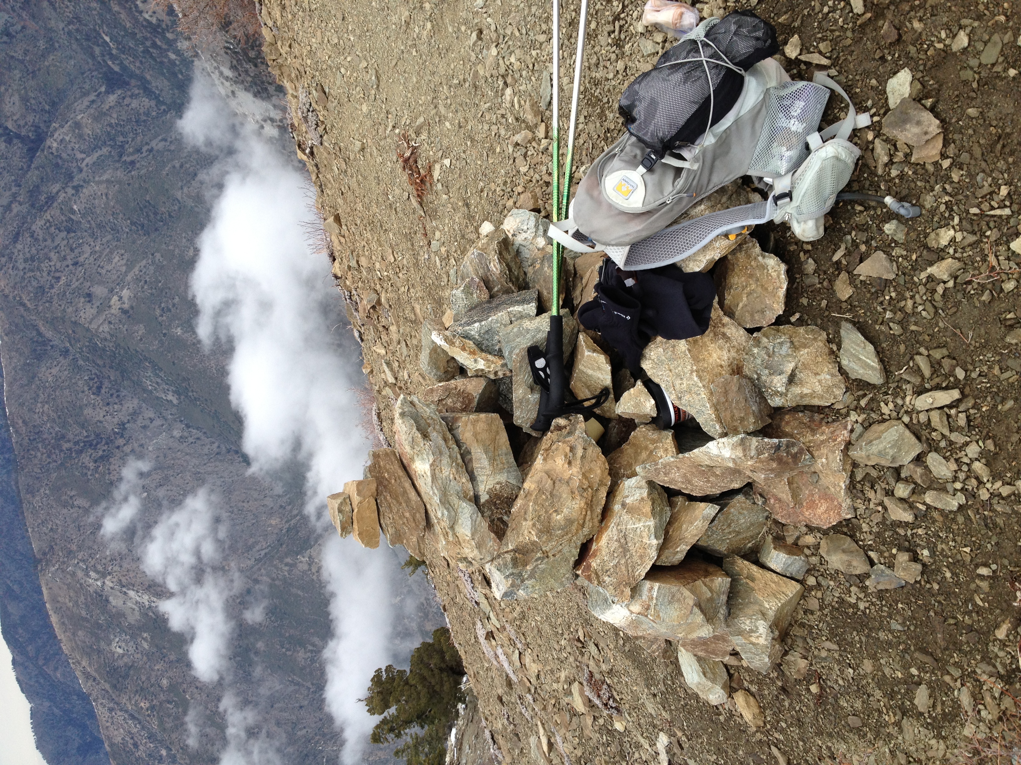
Made it! 3:22 from the trailhead to the summit. Not a bad time for nearly 7000' feet of gain. I don't see a geological summit marker, but there is this…

Looking out towards the ocean. Not the amazing ocean view you probably get on a clear day, but amazing nonetheless.
More great cloudy views of Mt. Baldy, which seems so close. Evidently there is a completely unmarked, and very difficult route over the ridge to the Baldy…
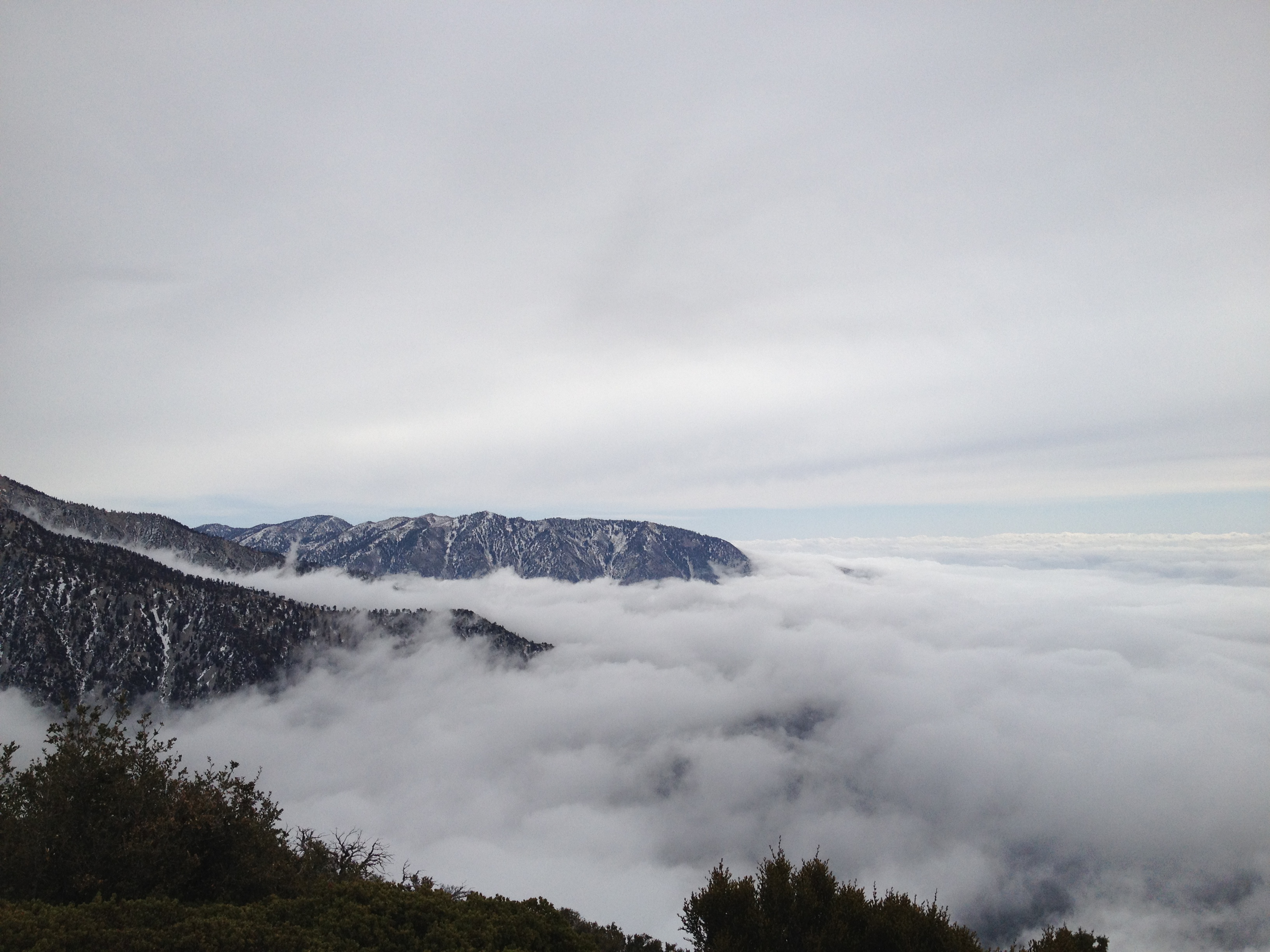
It was pretty cool how the clouds drifted into the shoulders of the mountain.
Good view of Pine Mtn. and Dawson Peak.
Mt. Baden-Powell to the Northwest. On my to-do list for the Spring. Somewhere far down below is the East Fork of the San Gabriel River cutting the deepest…
Another summit view.

The 360 summit video.
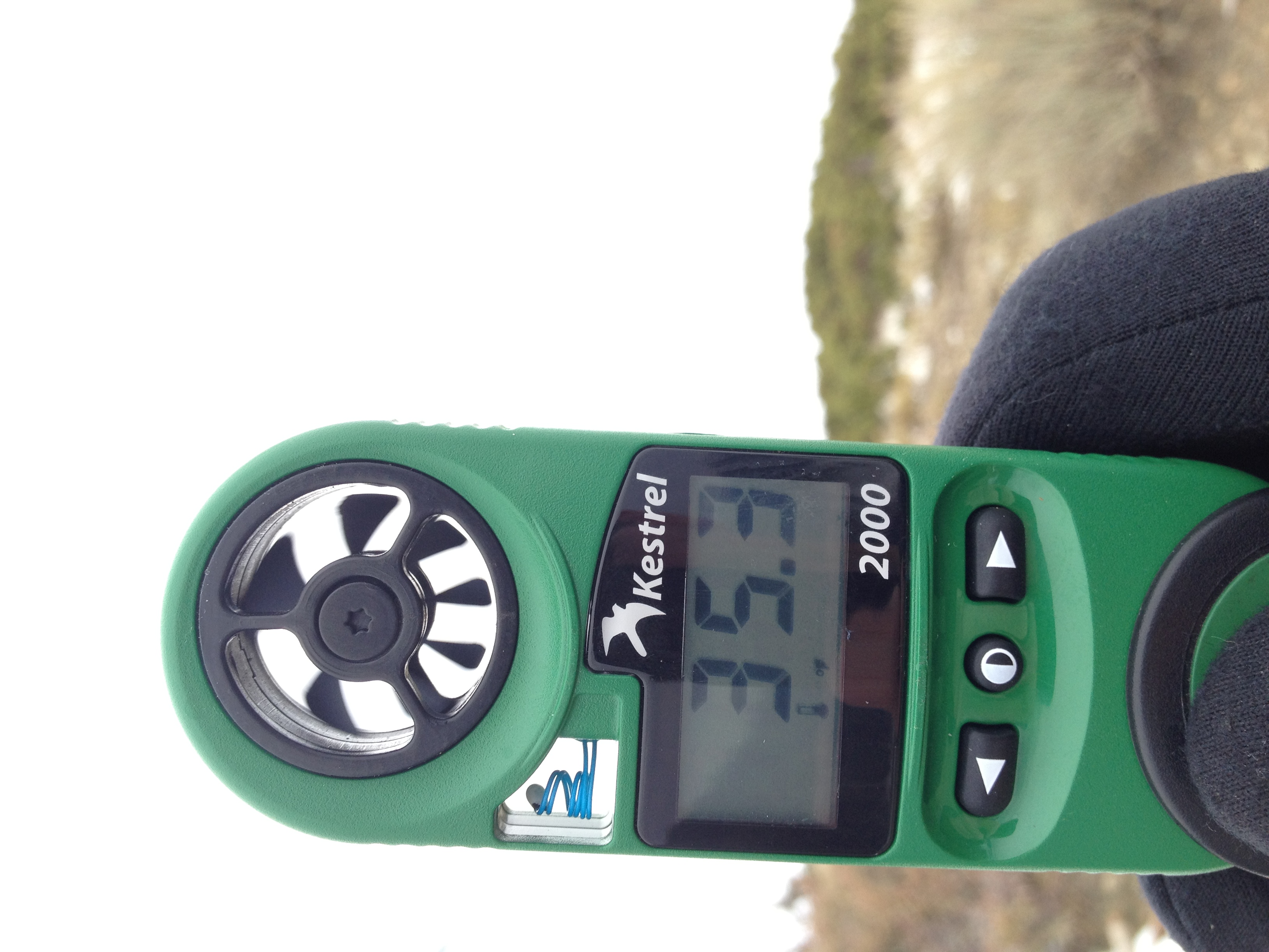
35.3 degrees on top...
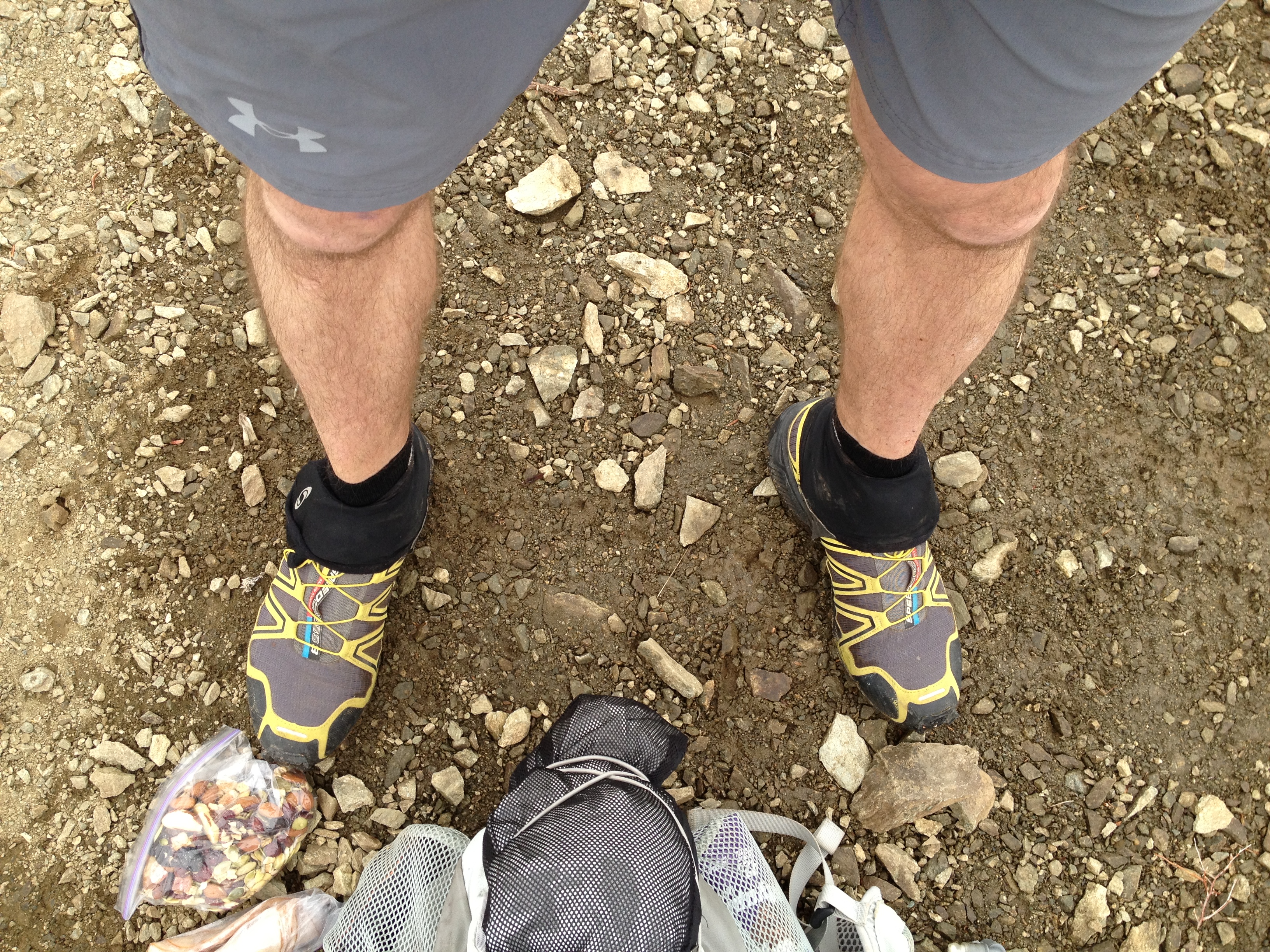
...and yes I'm still in shorts. But not for long. Once you stop moving, it gets cold fast! I spend a while on top, eat a little food, and then head down.
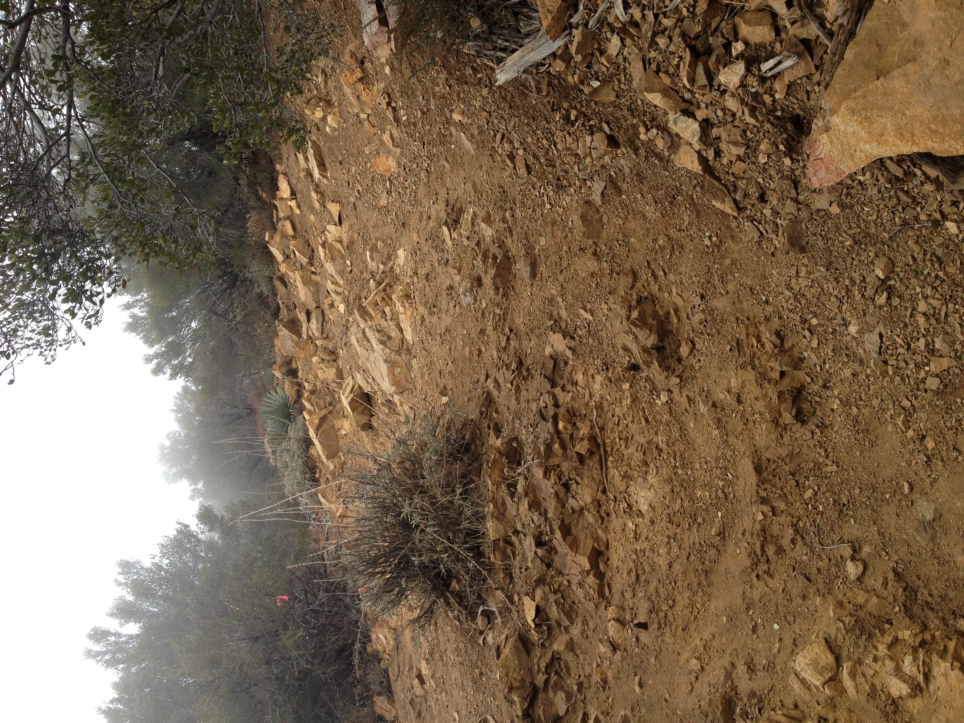
A look at another fun section of "trail". Extremely steep loose dirt and gravel. Trying to come down these sections with any semblance of speed was the ultimate…