9/29/15 Around 15 miles over the Wickiup Plains, past Reese Lake, and then through the Obsidian Limited Entry area, before stopping below Opie Dillock Pass for the night.
1 It was a warm enough night (low 40s) that I was able to sleep with the rainfly off. There was an exceptionally bright moon, and due to my backpacking induced insomnia, I was able to watch it cross the sky all night. I would have rather had the sleep, but it was cool to see.
2 
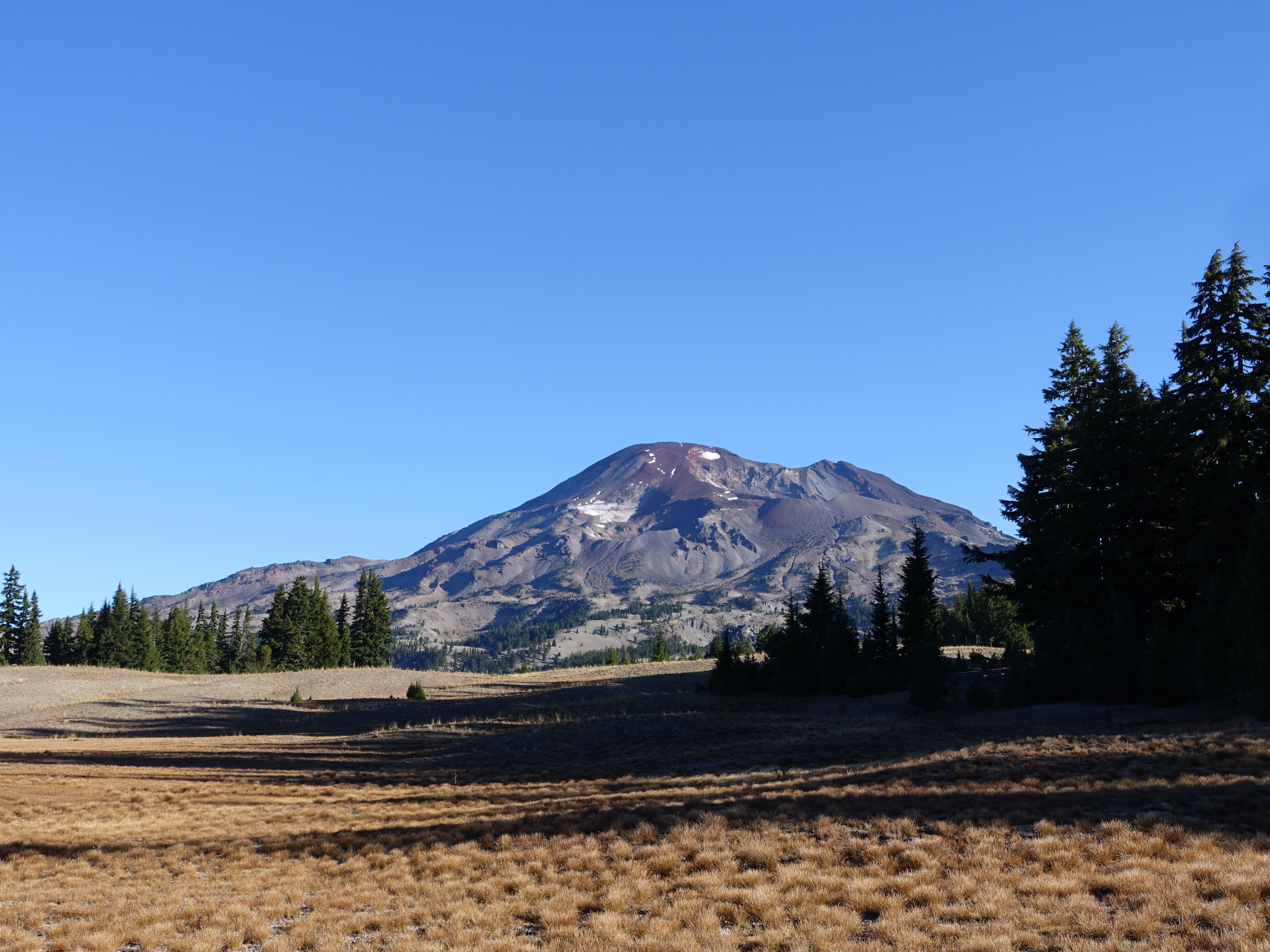
Morning view of the South Sister. As I hit the trail around 9:00am, I'm definitely feeling the extra 5lbs or so of weight I took on from Dr. Rock's pack yesterday.
3 
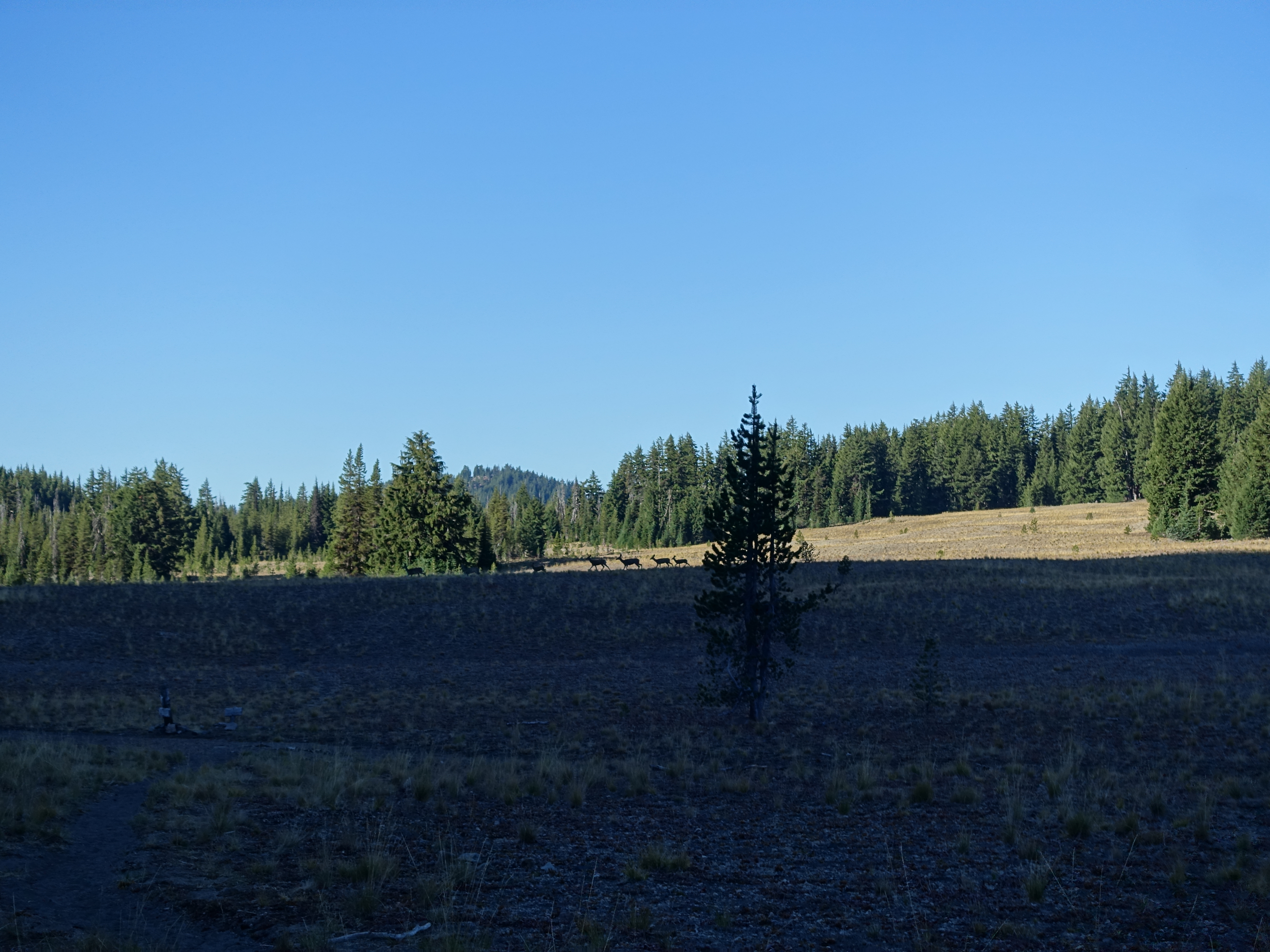
A big family of nine deer walking across the Wickiup Plains. At this point, the trail starts heading North to join up with the PCT.
4 Looking back across the barren Wickiup Plains, which are technically a pumice plain. The miles seem longer when the trail is long and straight like this.
5 Edge of the Rock Mesa, the result of a huge lava flow from one of the South Sister eruptions, the most recent of which was 2,000 years ago. It's amazing how these walls of rock debris just stop so abrubtly.
6 
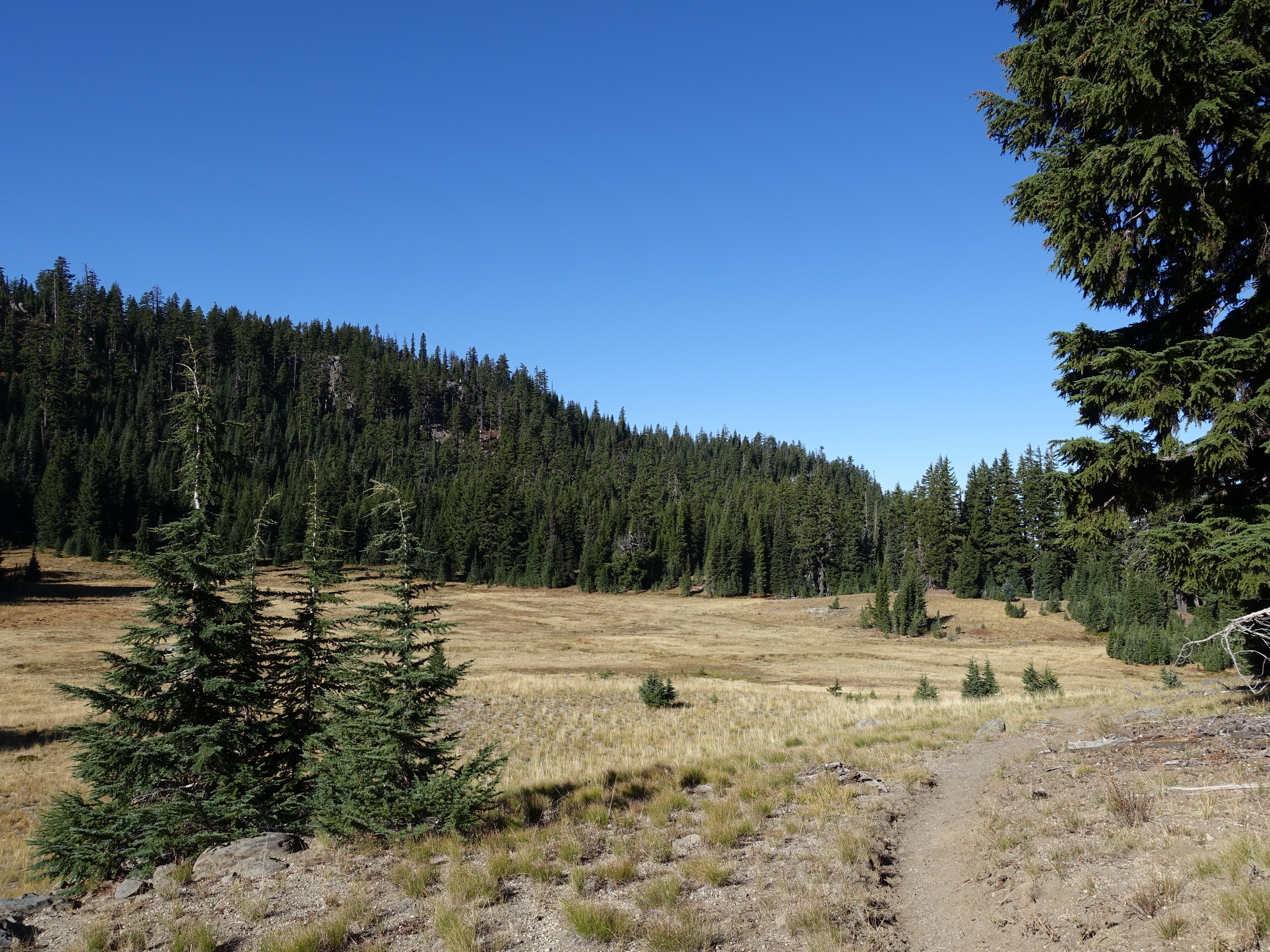
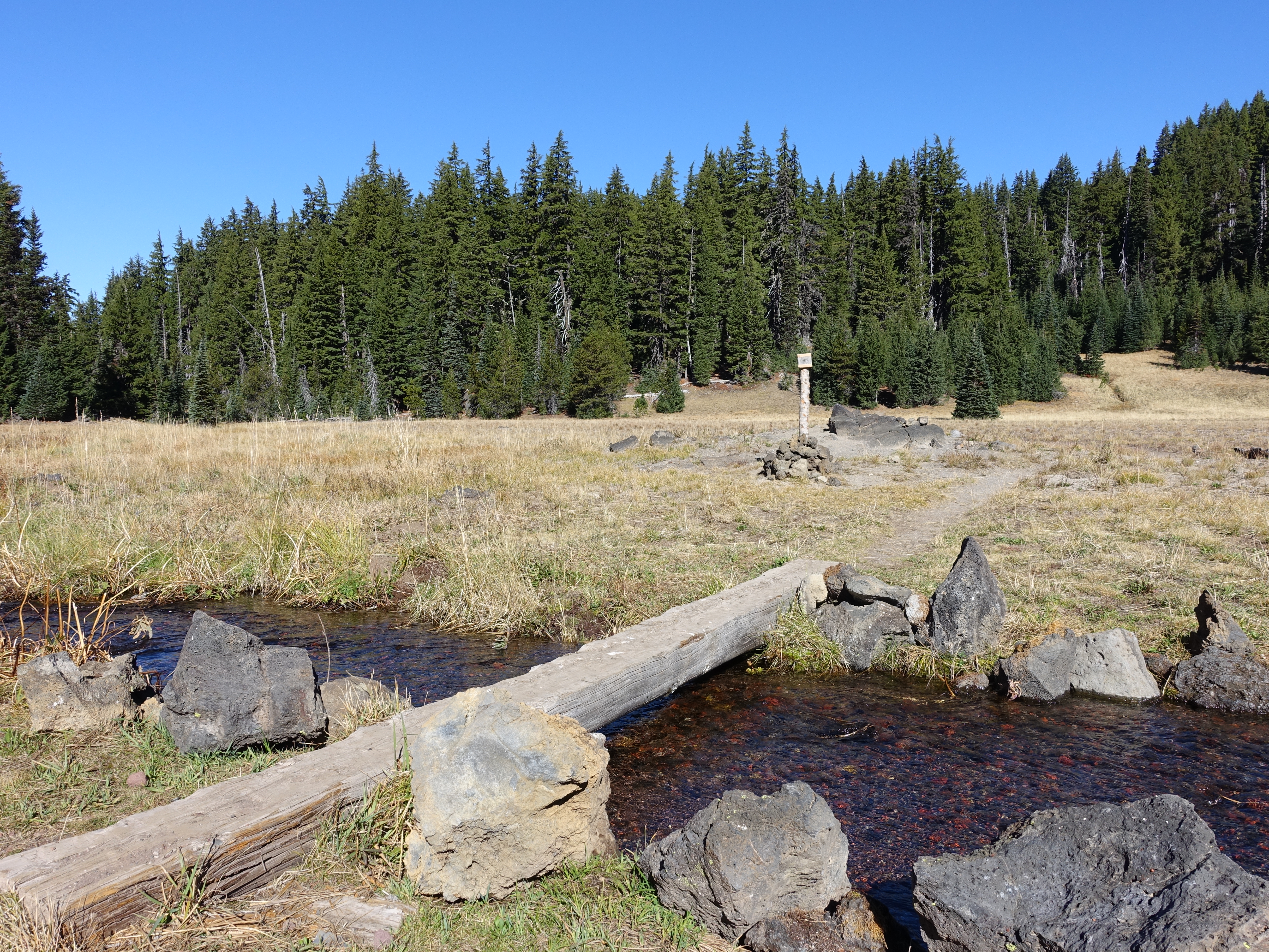
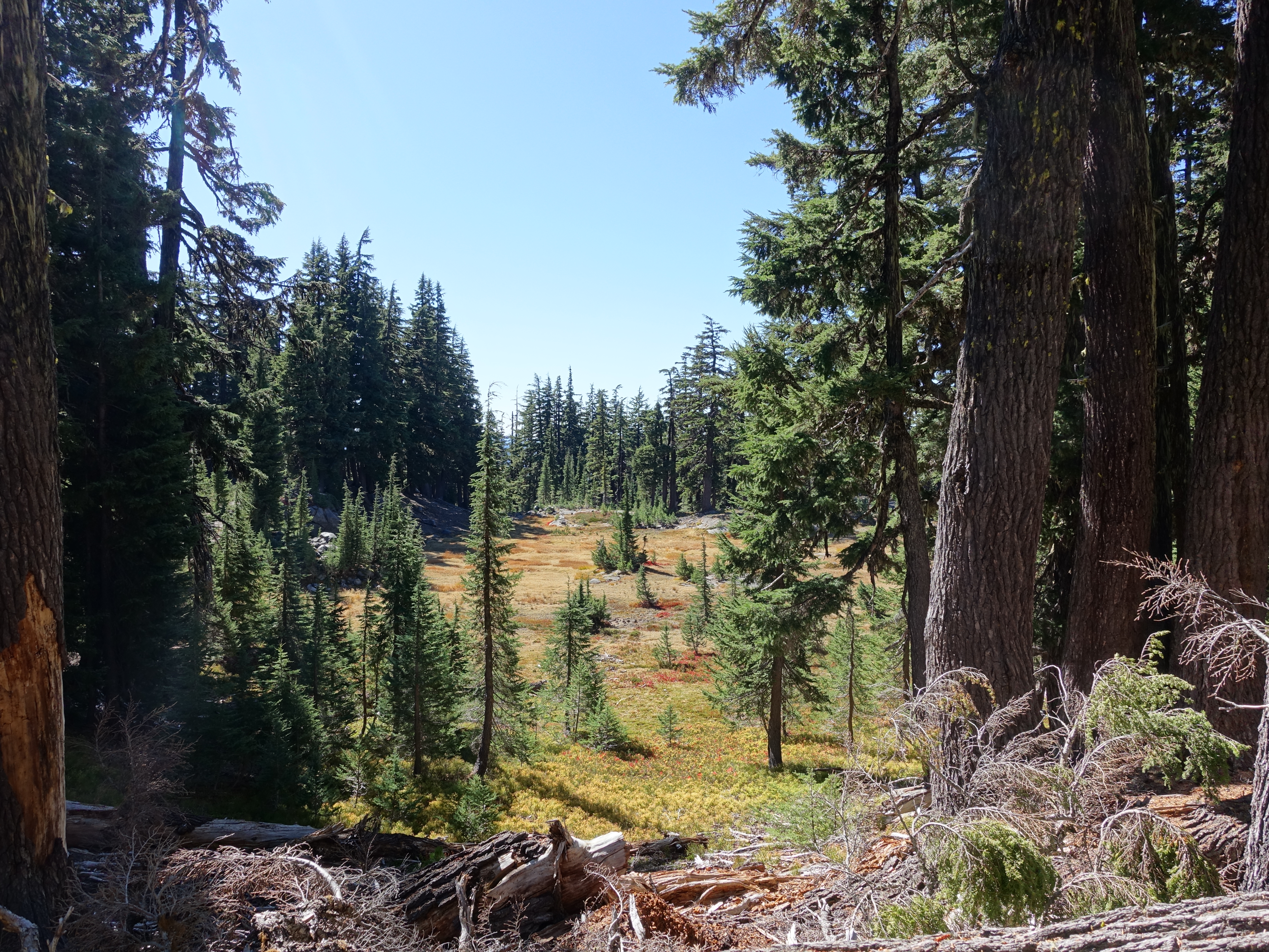
Some nice meadows along the forest that would probably be green earlier in the year.
7 
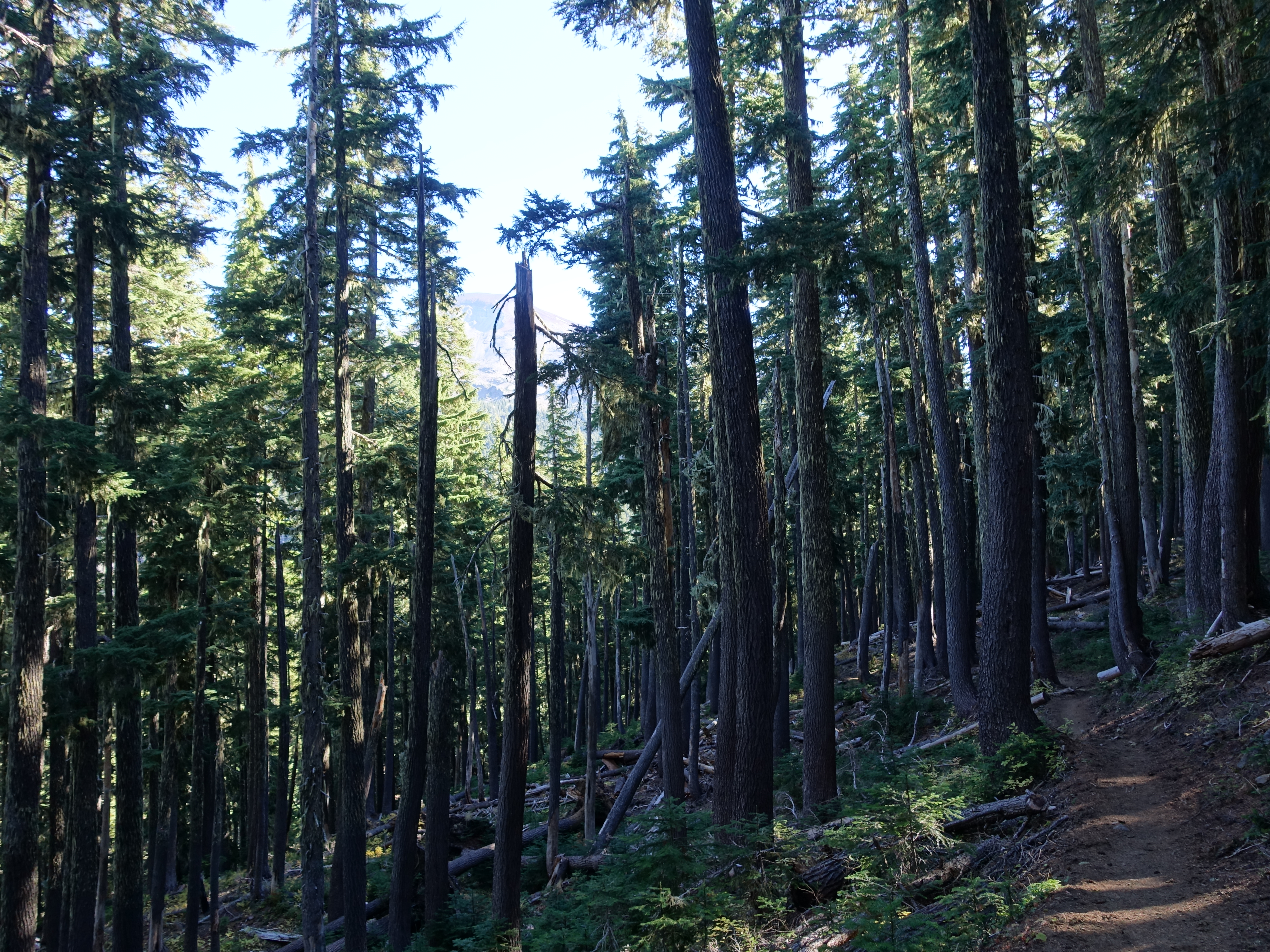
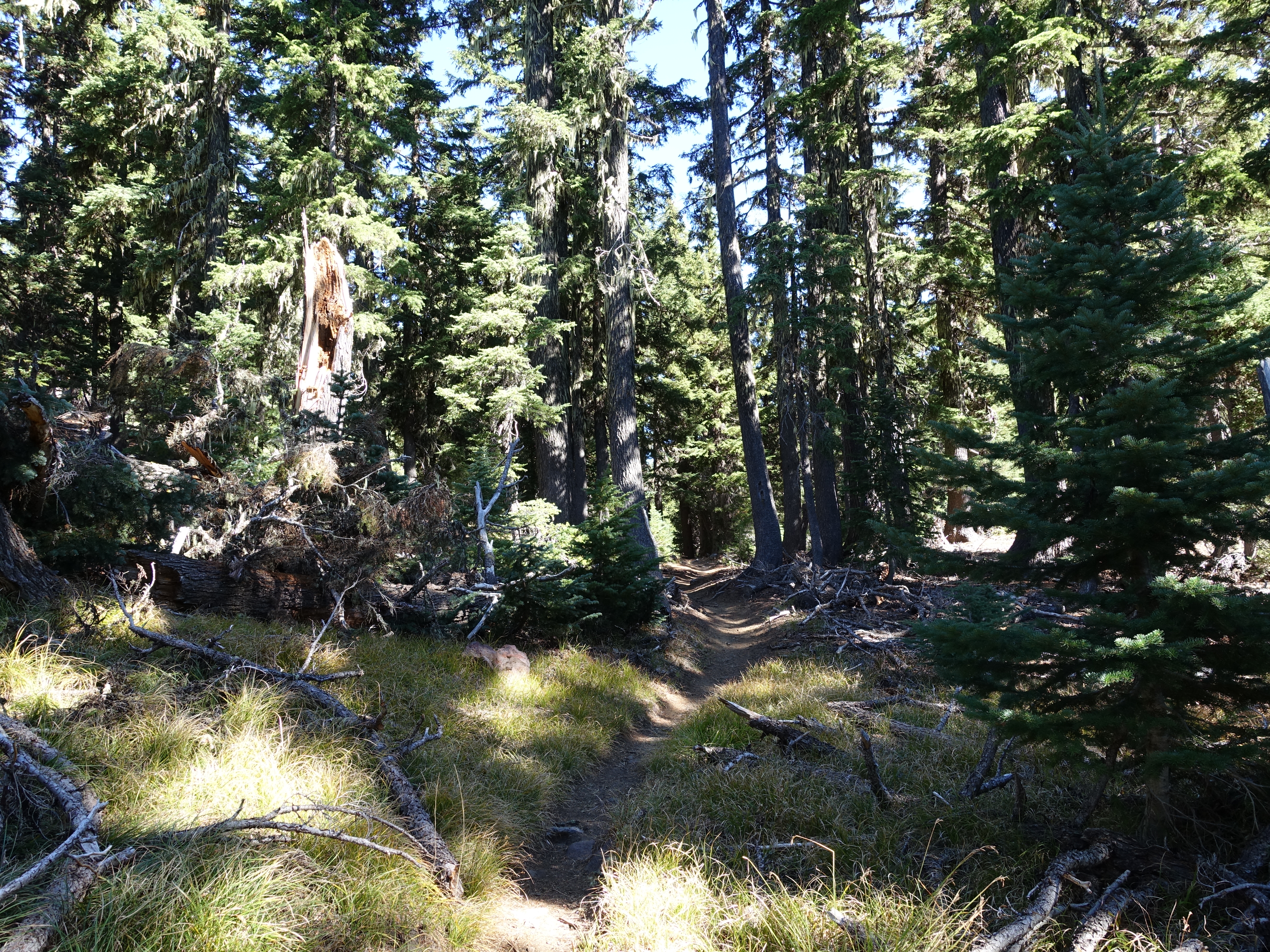
The trail dips in and out of the forest on nice single track. The trail is rolling up-and-down for most of the day. Never terribly steep, but definitely accumulating net gain.
8 
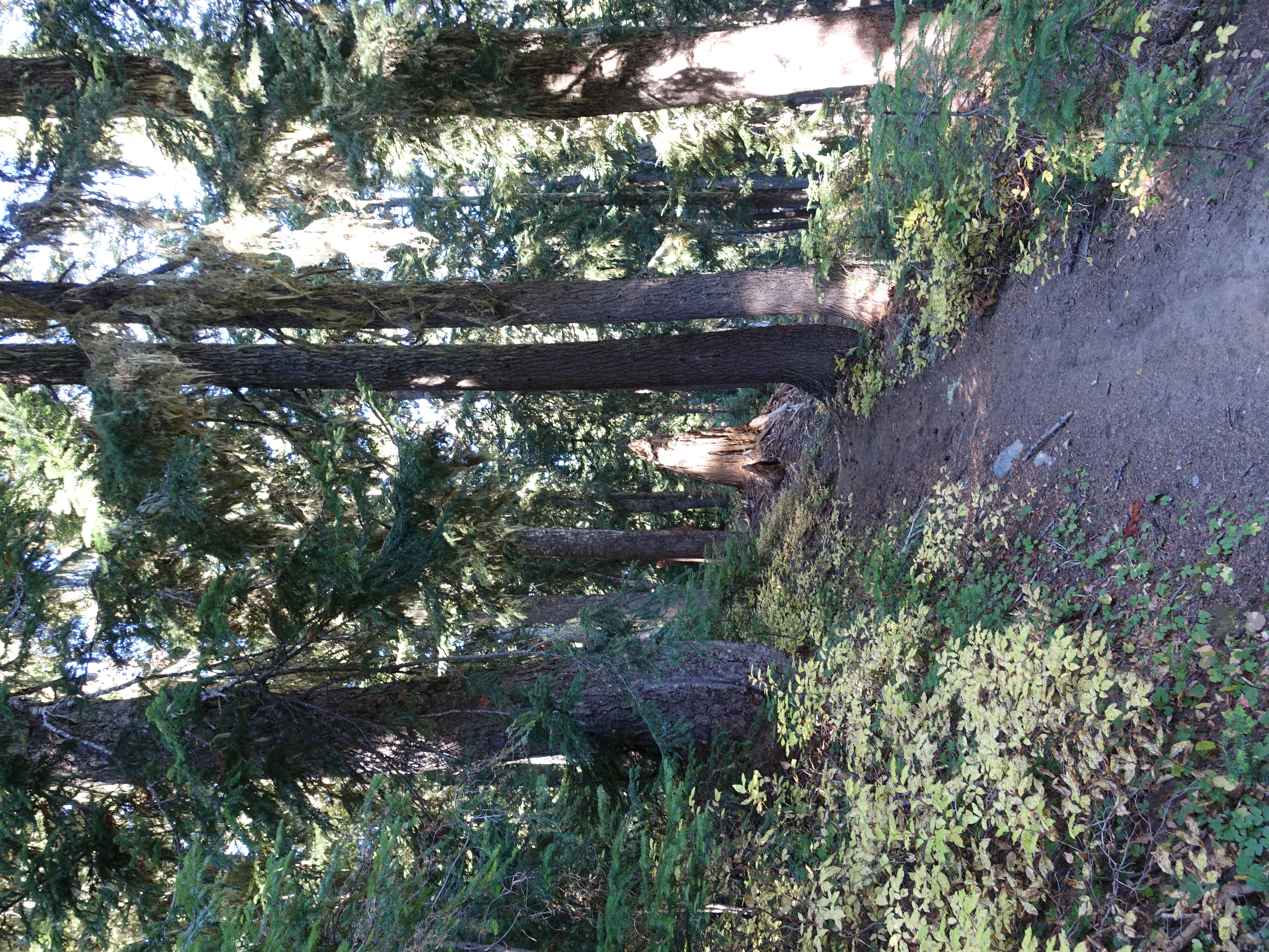
An interesting forest spot, very dense but young.
9 I'm officially on the PCT now, and will be for the next 20+ miles. I hit the first water since Moraine Lake last night. I'm worried that timing water for tonight is going to be tough again.
10 More goregous single track. You could probaly spend a lifetime fully exploring the trail system in Central Oregon. I definitely see why it's such a hotspot for trail runners.
11 A small, unnamed, but scenic lake along the way.
12 
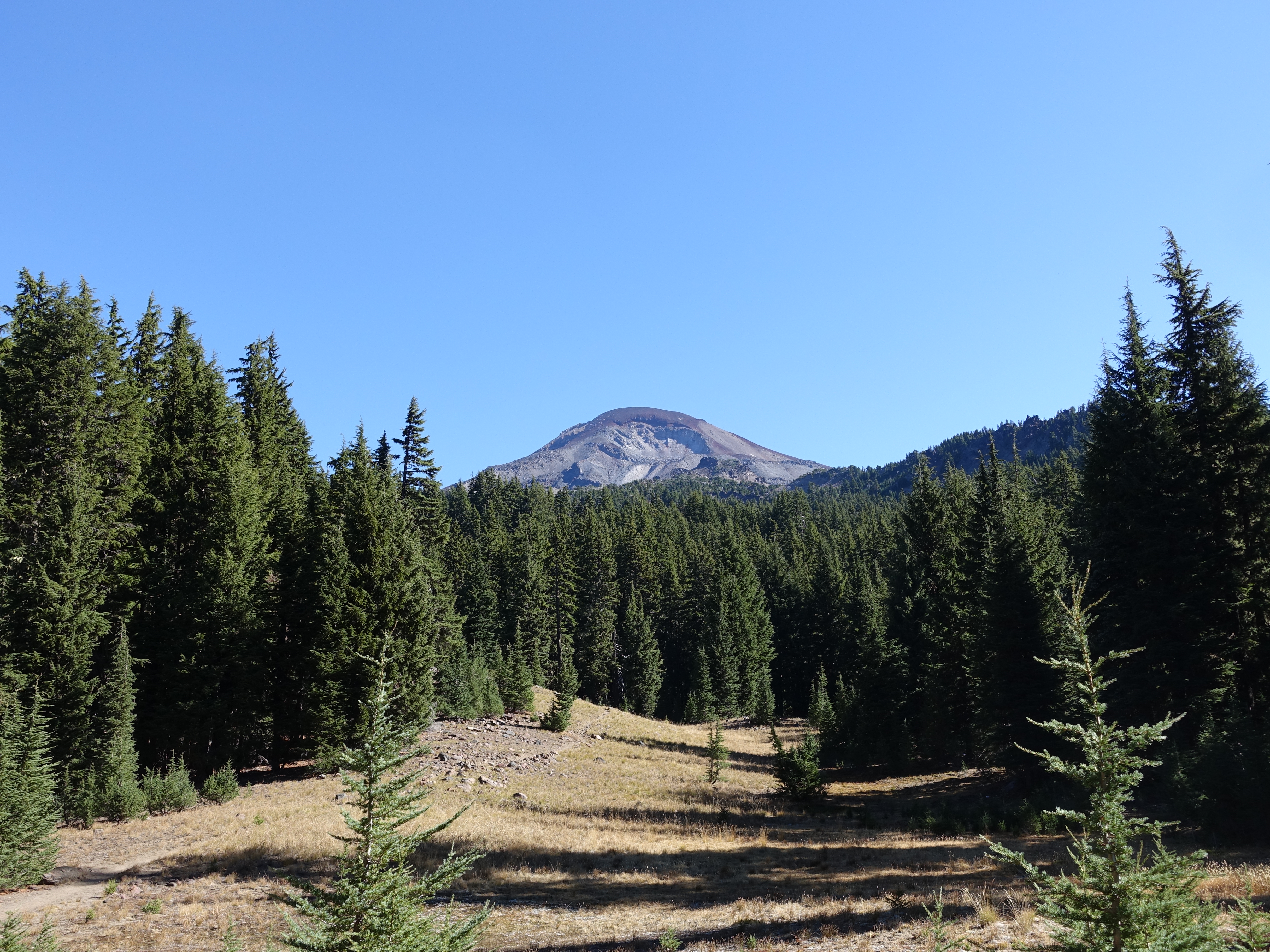
The Husband to the West. There is also a Wife and Little Brother elsewhere.
13 
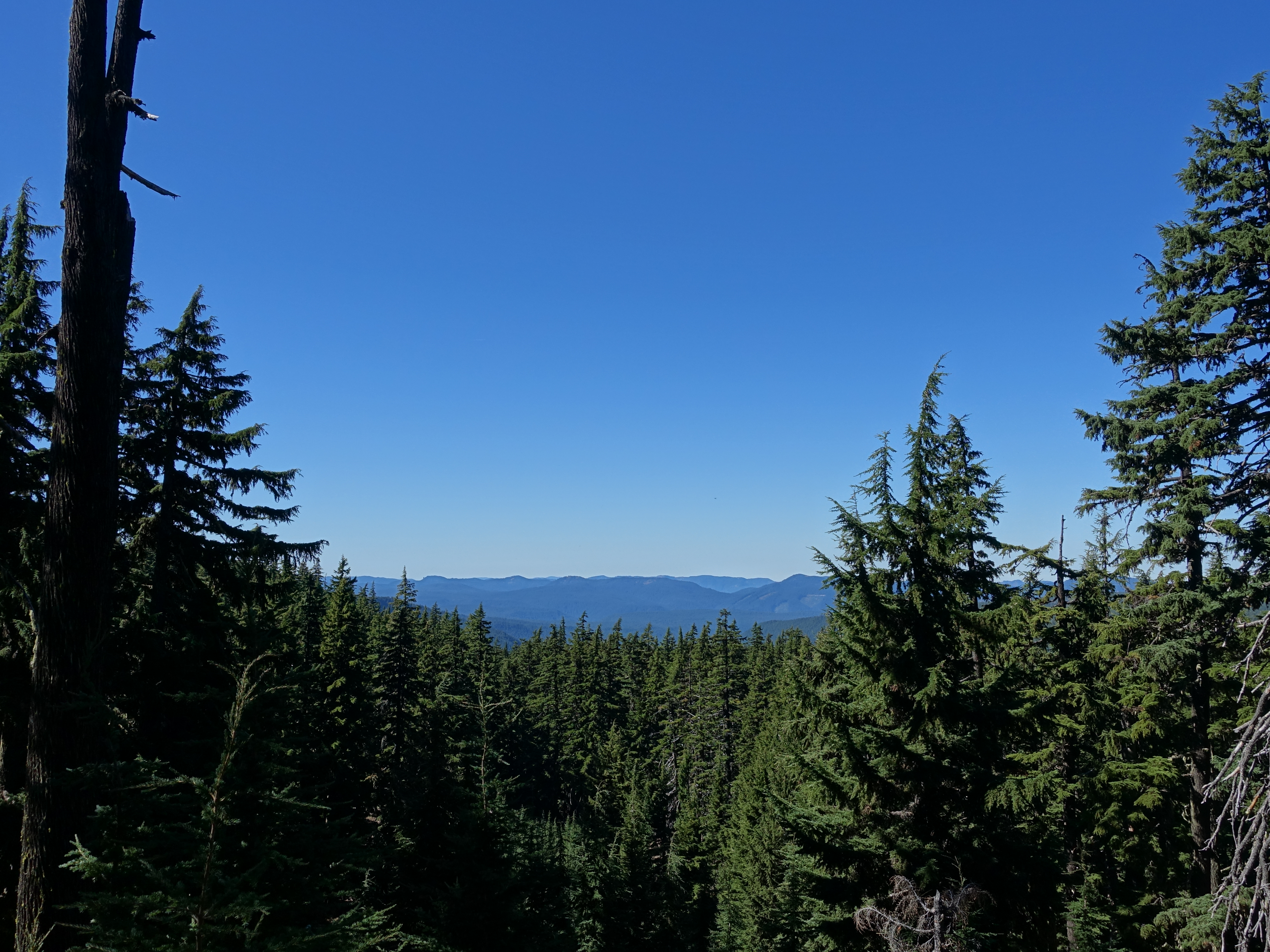
First views of the valley to the West towards the Willamette National Forest.
14 Middle Sister, also known as "Hope". Probably the most volcanic looking of the sisters, although South Sister does have a small crater on top.
15 
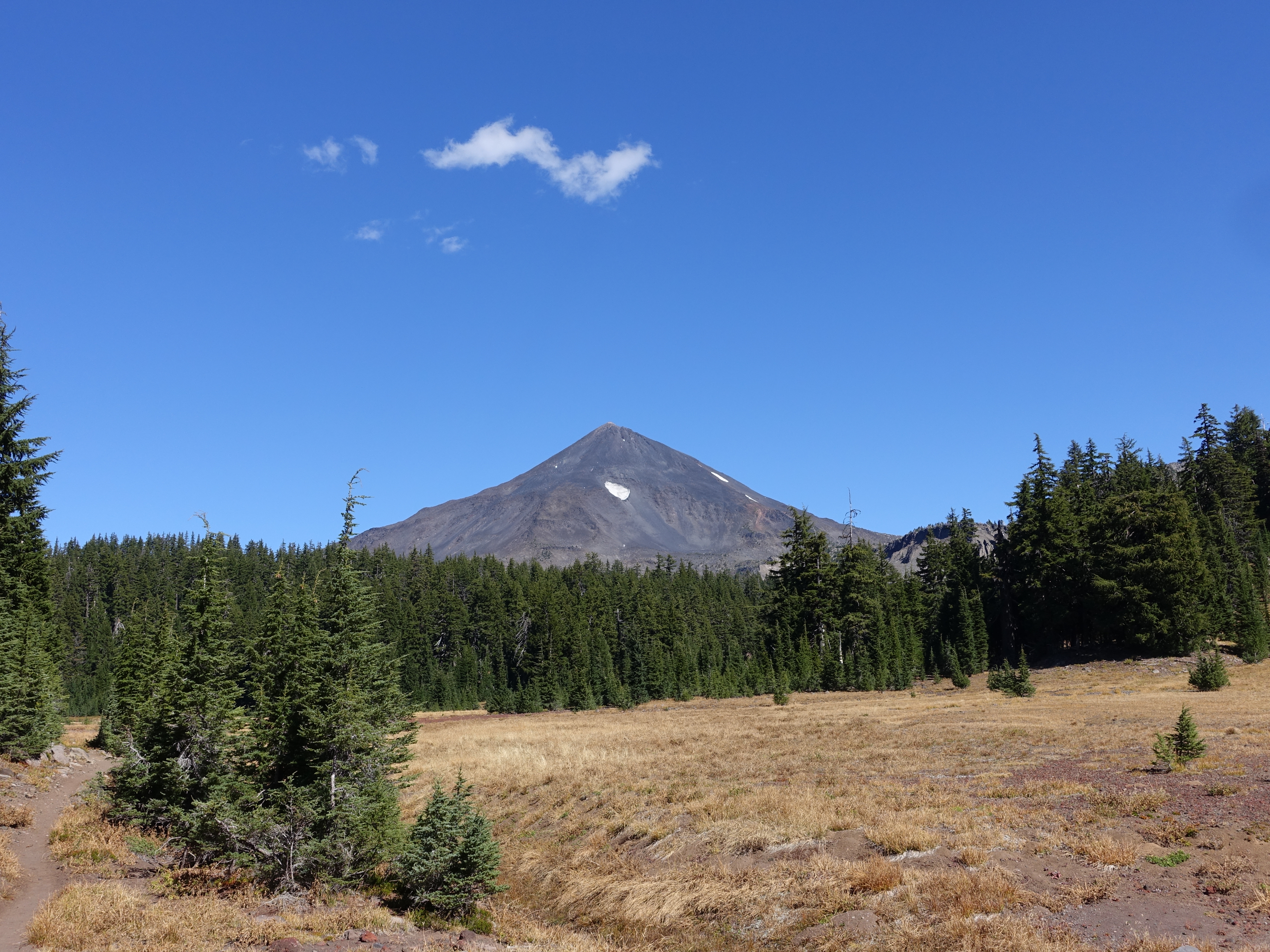
Still have great views of South Sister, also known as "Charity".
16 Reese Lake in front of South Sister. Another incredibly clear lake.
17 
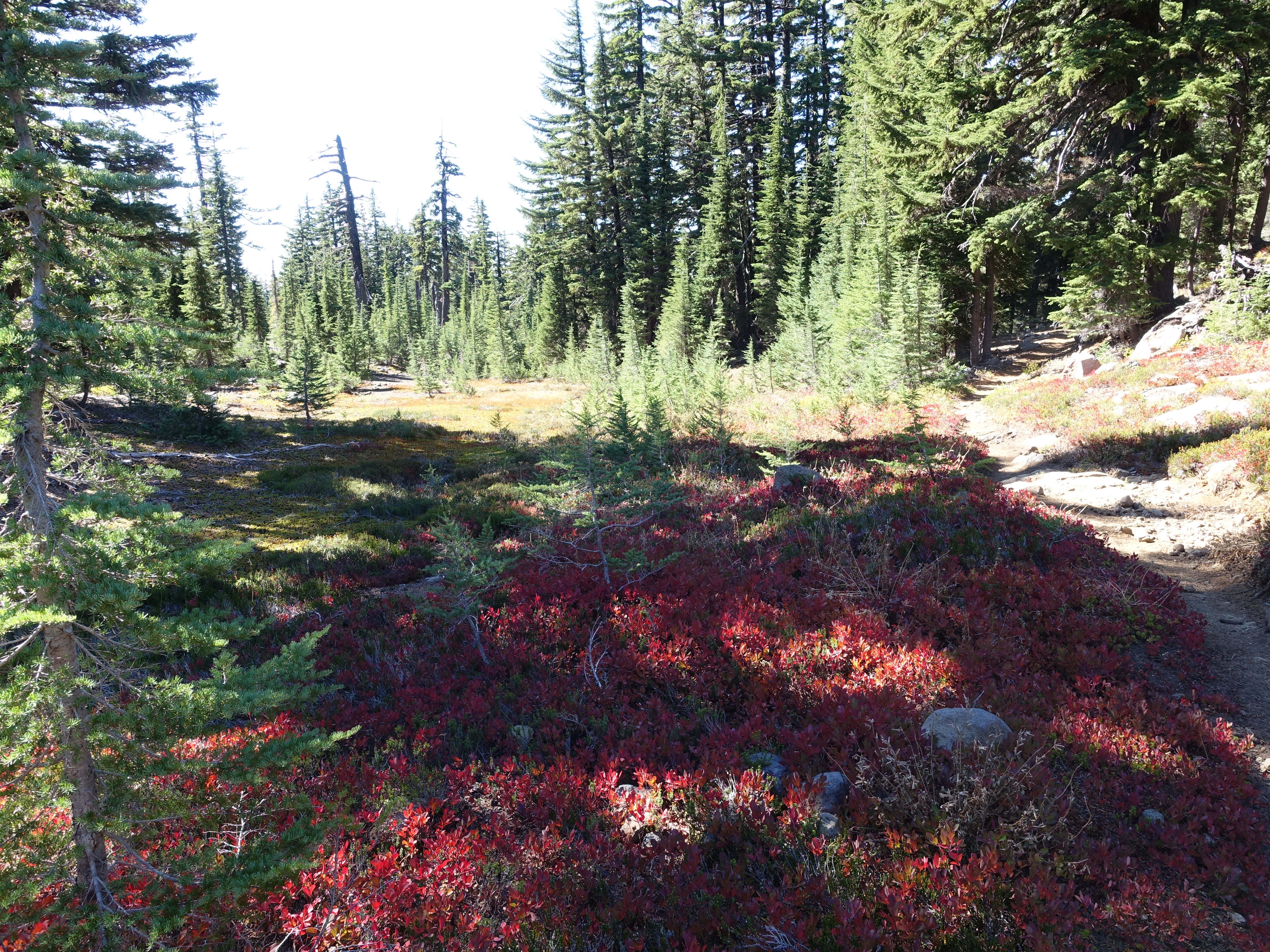
I'm not sure what these plants are, but they are very prevalent in this area, and make for some amazing color contrasts.
18 
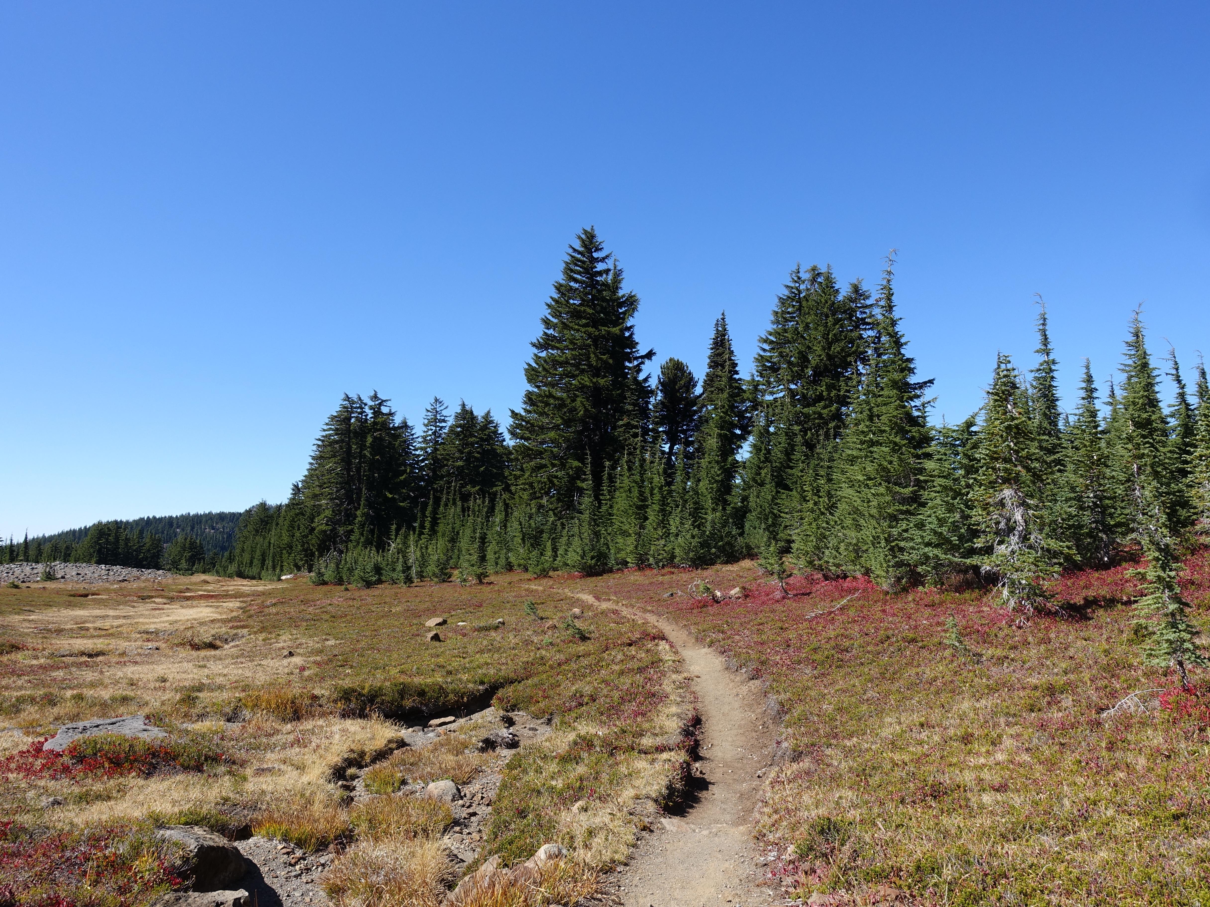
A smattering of red plants in the meadow.
19 Carpet of red and green.
20 
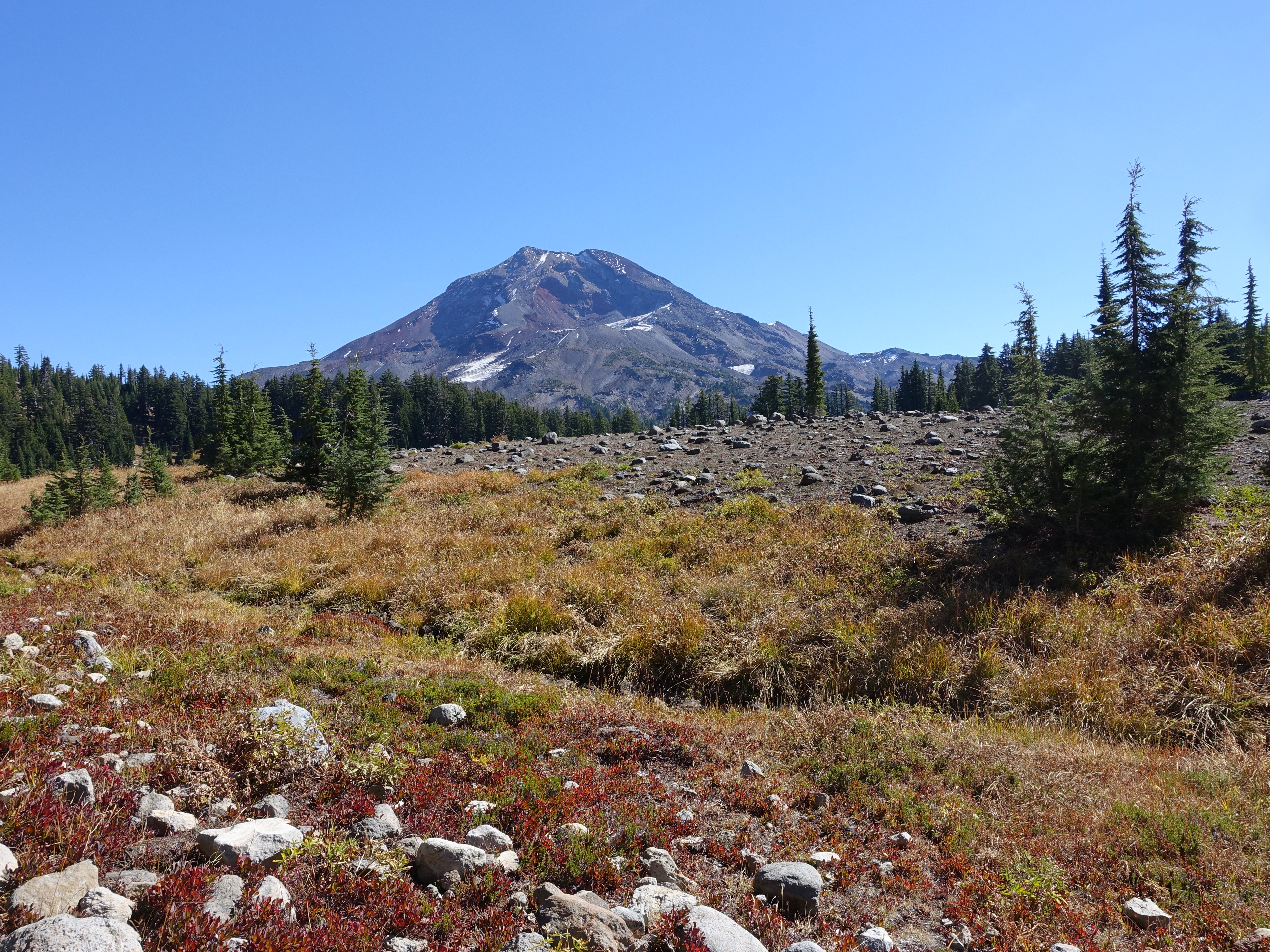
Some of the last full views of South Sister.
21 I'm not sure what peaks those are, but they're a focal point along this entire stretch of trail.
22 Couldn't groom a trail this perfectly if you tried.
23 More great South Sister views.
24 Pumice plain mixed with meadow fading off into the distant hazy mountain ranges.
25 I had been making good time today and arrived at the Obsidian Limited Entry Area right on schedule. You have to get a permit ahead of time to hike or camp in this area. Permits are heavily limited and are evidently strictly enforced, but probably not as much this late in the season. But, I didn't want to worry at all about getting hassled (even though I hadn't seen a human all day), so the plan was to push on and camp on the other side of the area.
26 Obsidian Falls. The only waterfall on the loop, but it's a nice one. Small but picturesque and probably a lot fuller earlier in the year.
27 You can scamper down to the base of the falls for a closer view.
28 A video of Obsidian Falls in action.
For best performance, you can watch the video on YouTube.
29 Sisters Spring. A year-round spring that just appears at the base of this rock pile...
30 ...and then snakes away as a little creek. Pretty cool.
31 This is called the Obsidian area for a reason. There are tons of obsidian rocks everywhere. Some larger ones, but mostly smaller rocks that almost look like black plastic chips. Perfectly smooth, polished, and shiny. The photo just doesn't capture it, but entire hills shimmer in the sunlight.
32 One more attempt to capture a shimmering obsidian hillside. All of the white specs are little obsidian mirrors.
33 I think this is Little Brother. It can be hard to tell the peaks apart at times.
34 First view of one of the quntissential Central Oregon landscapes. Mt. Washington, Three Fingered Jack, and Mt. Jefferson.
35 Glacier Creek. Fortunately glacier fed, so it flows year round. It's my last chance at water for the night. I filter a full load and, like the night before, hike the rest of the way carrying almost 6 liters total. At least that way I don't have to worry about having water where I camp and should have enough to get through dinner and then breakfast tomorrow. I continued hiking out of the Obsidiean Limited Entry Area, and to the base of Opie Dilldock Pass, and then called it a night around 5:00pm.
36 Another night of not sleeping well, so I got out to enjoy the warm night and take the obligatory glowing tent photo.