9/30/15 The last 9 or 10 miles up and over Opie Dillock Pass and back to the Lava Camp trailhead, with a side trip up the Yapoah Crater along the way. End to another amazing journey.
1 
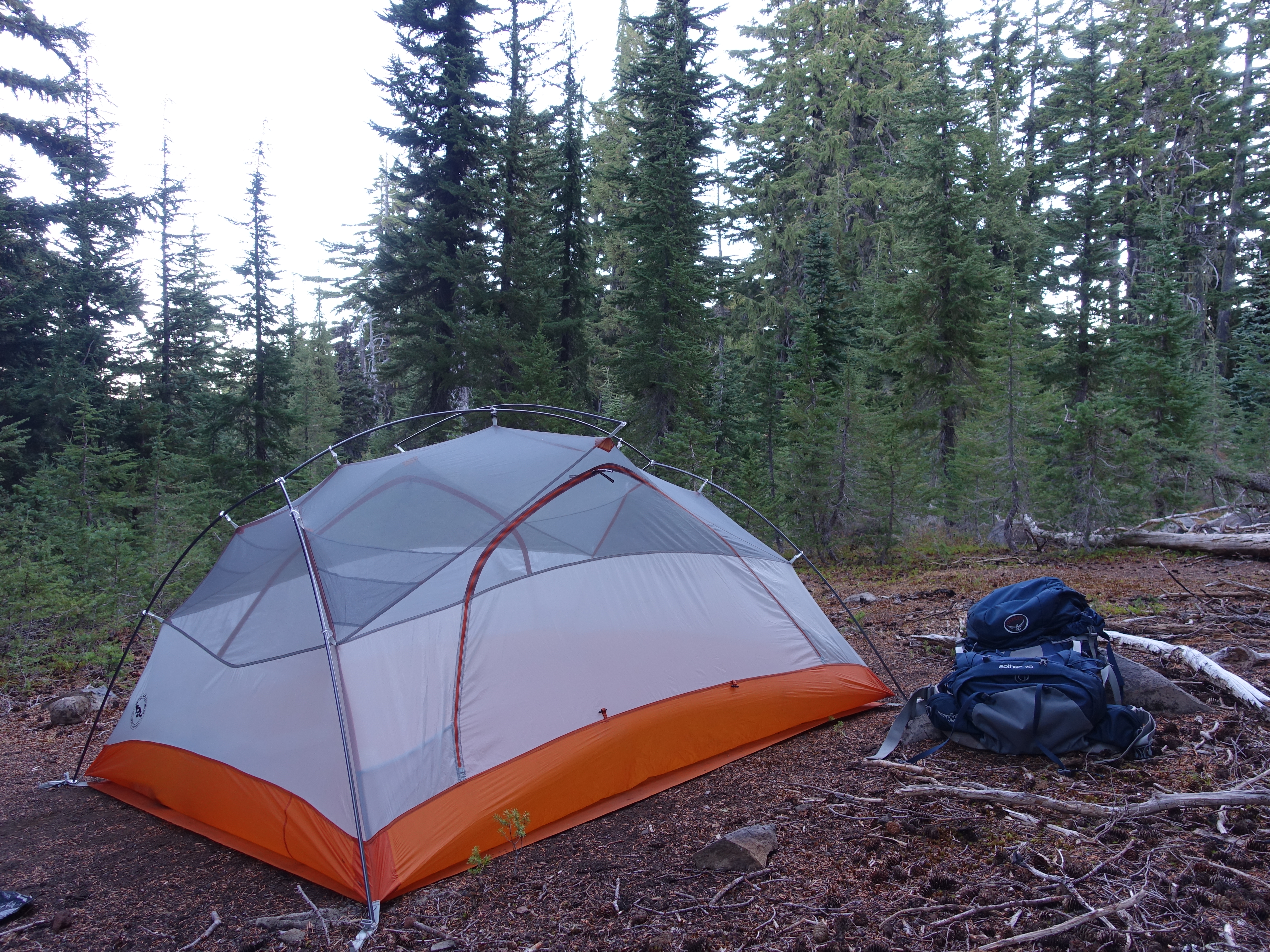
Another beautiful forest campsite. Up and at 'em for my last day on the trail.
2 
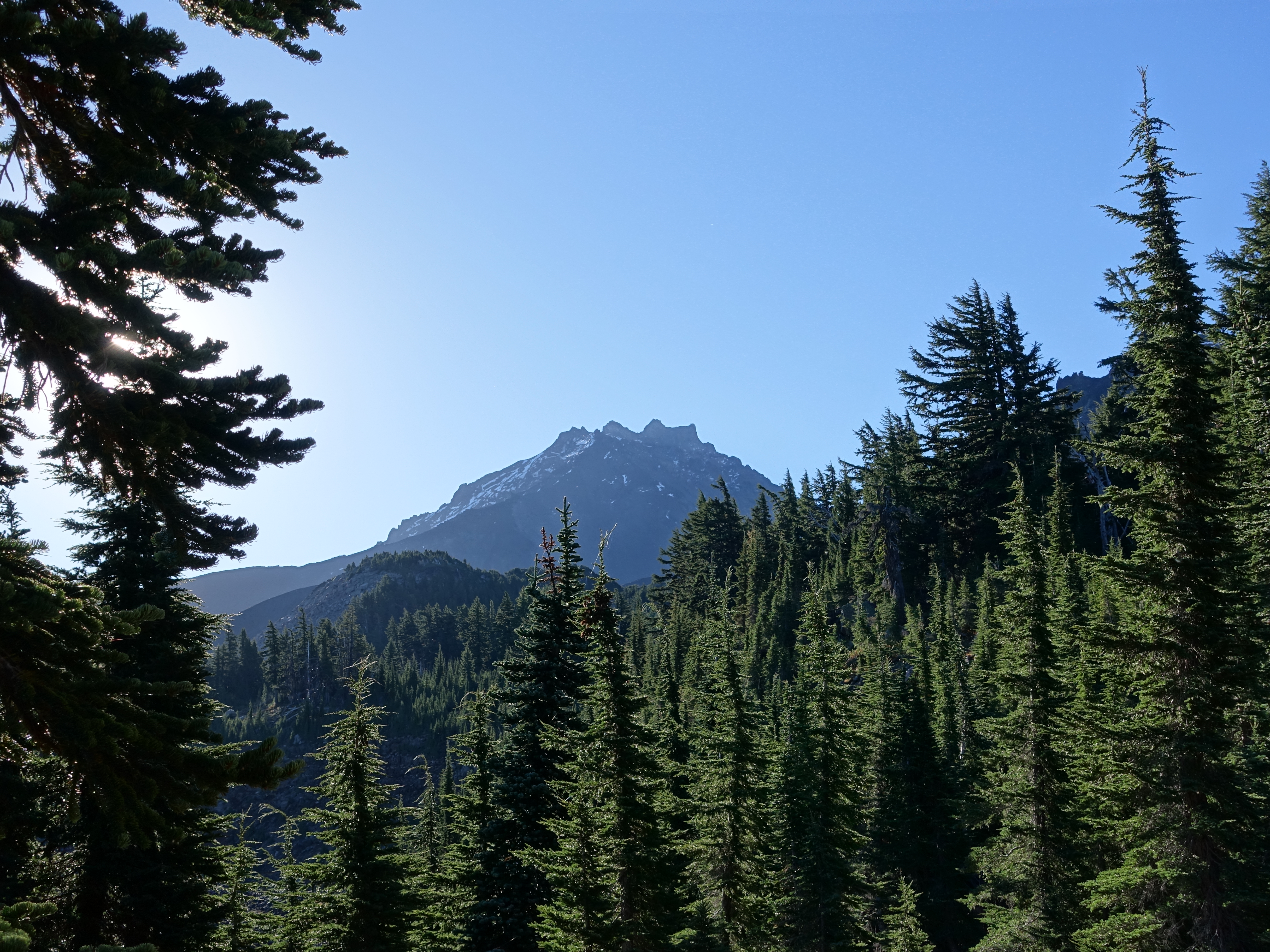
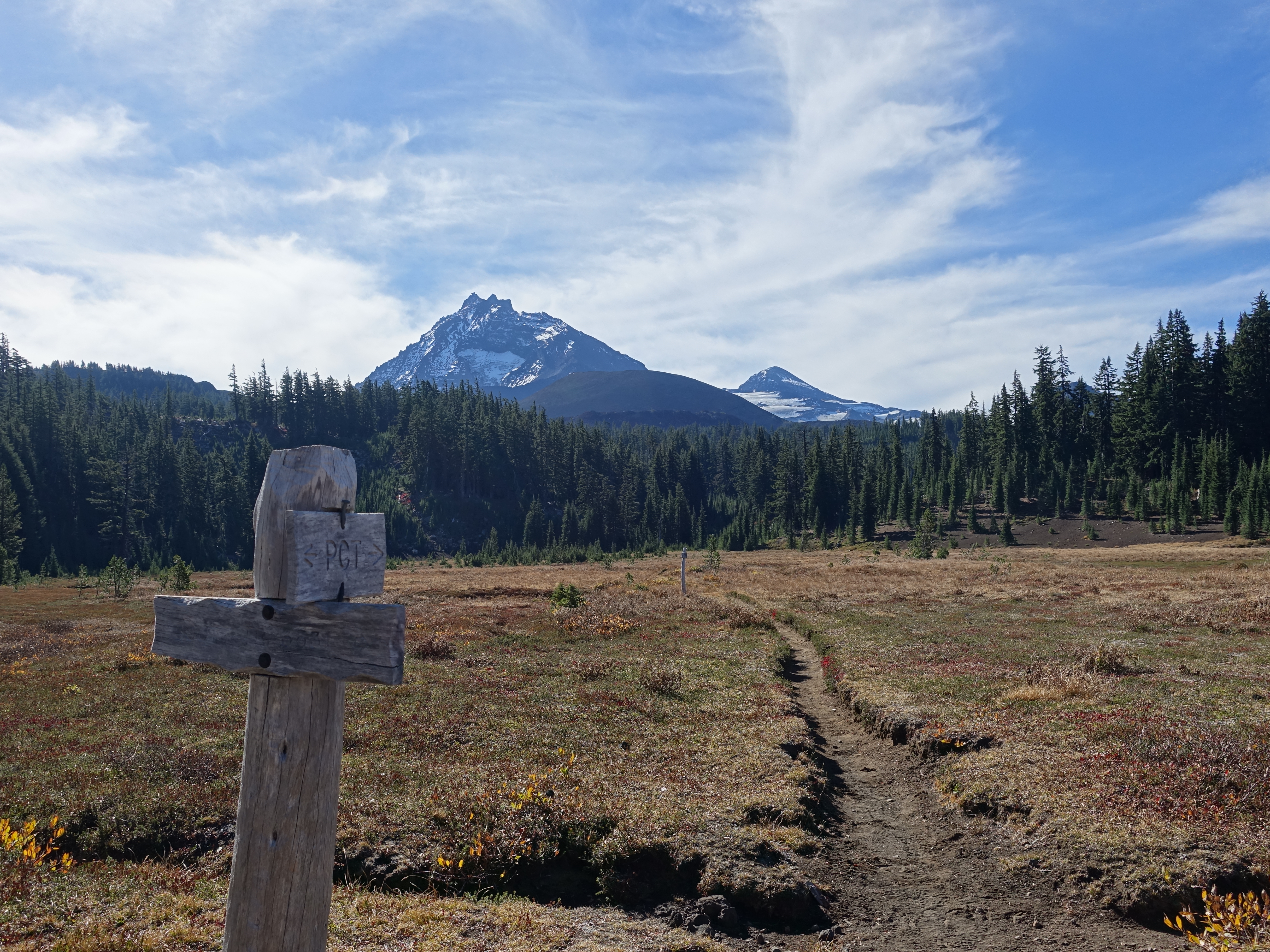
Back on the trail by 9:00am. Today would be dominated by fantastic North Sister views.
3 
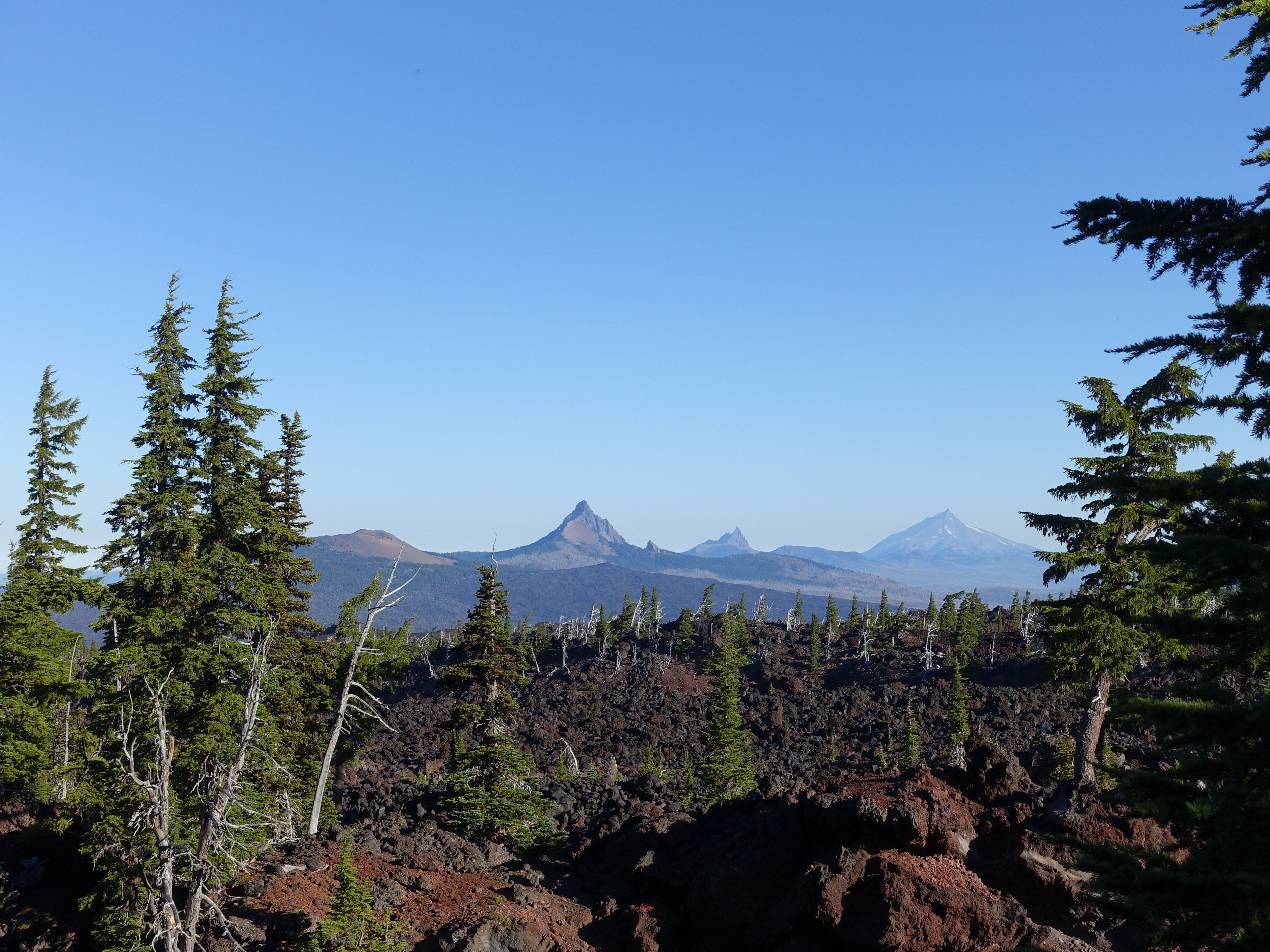
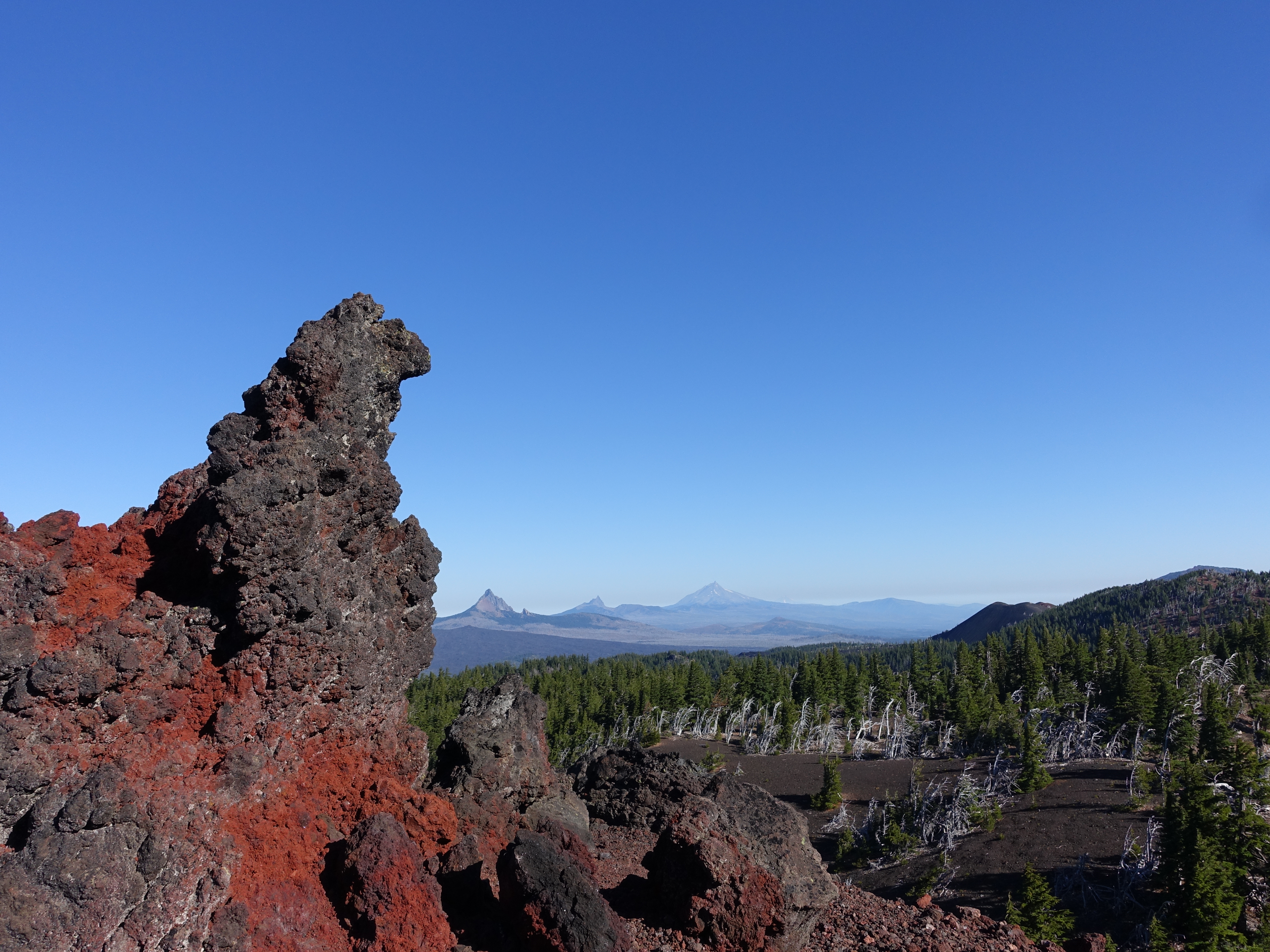
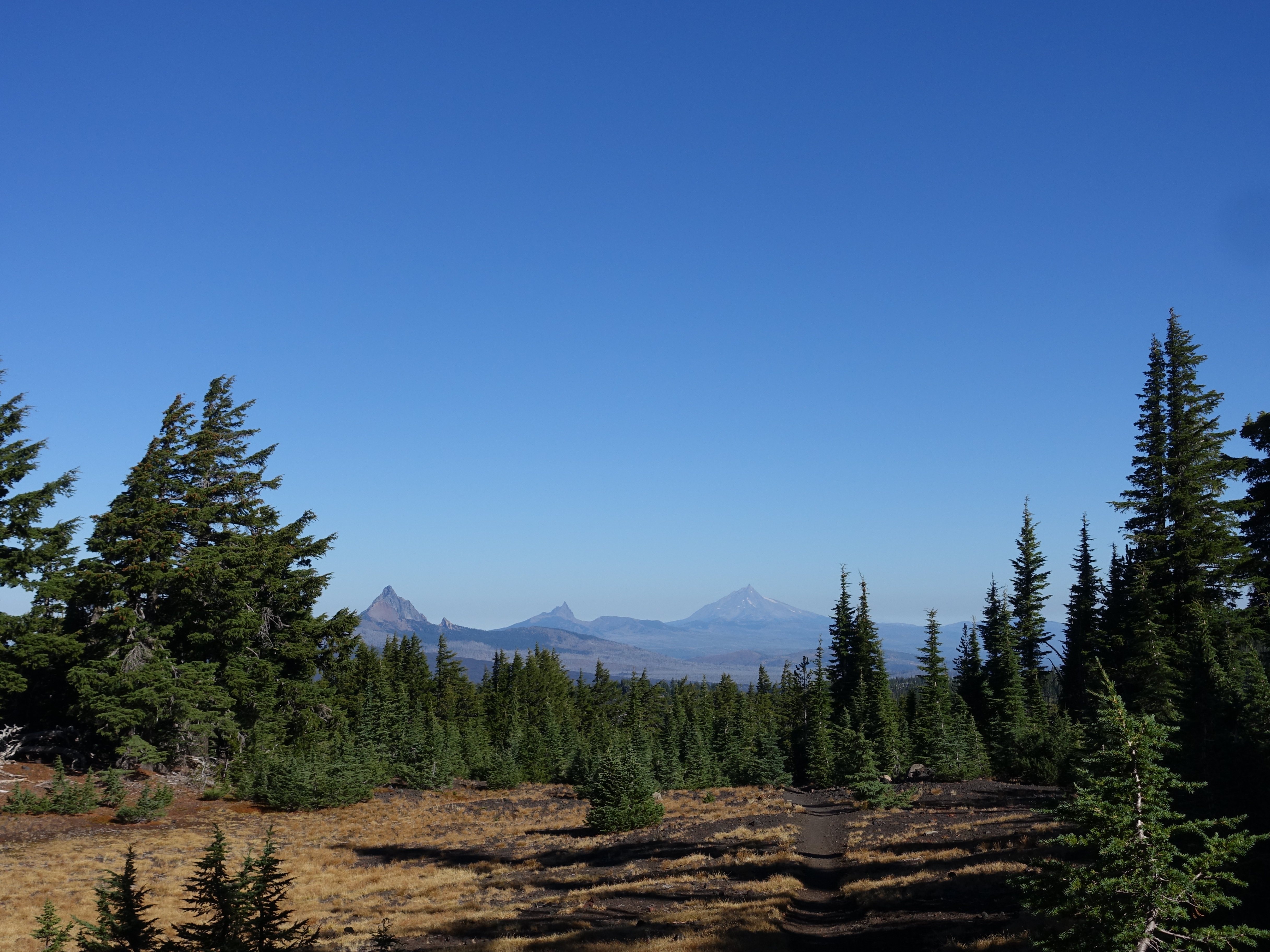
And equally excellent views of the Belknap Crater, Mt. Washington, Three Fingered Jack, and Mt. Jefferson. With lava terrain in the foreground.
4 
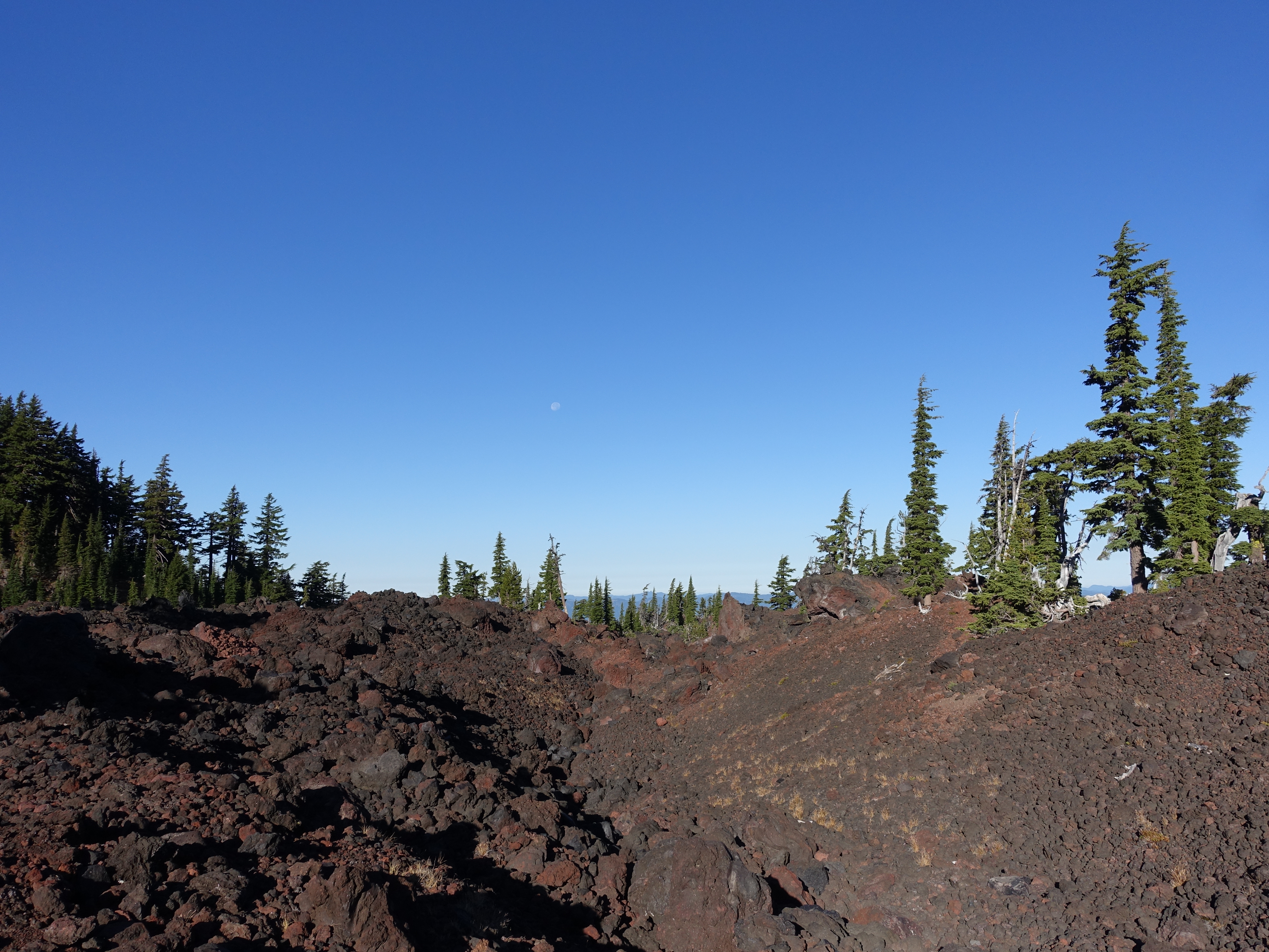
This is definitely my favorite part of the loop. Having never hiked through this sort of lava rock terrain, I find it fascinating. Note the setting moon still in the sky.
5 
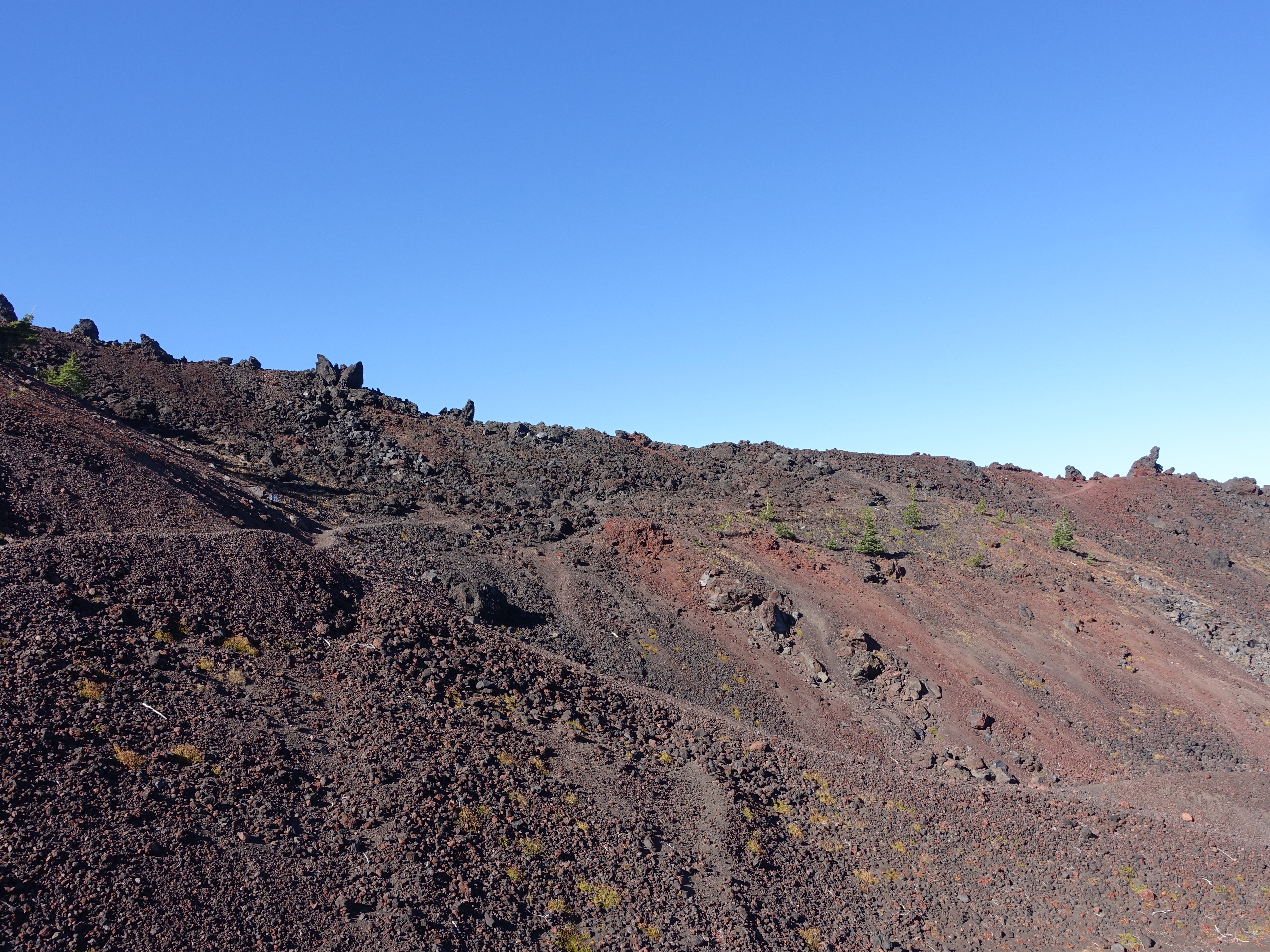
The trail ascending through the lava flow.
6 
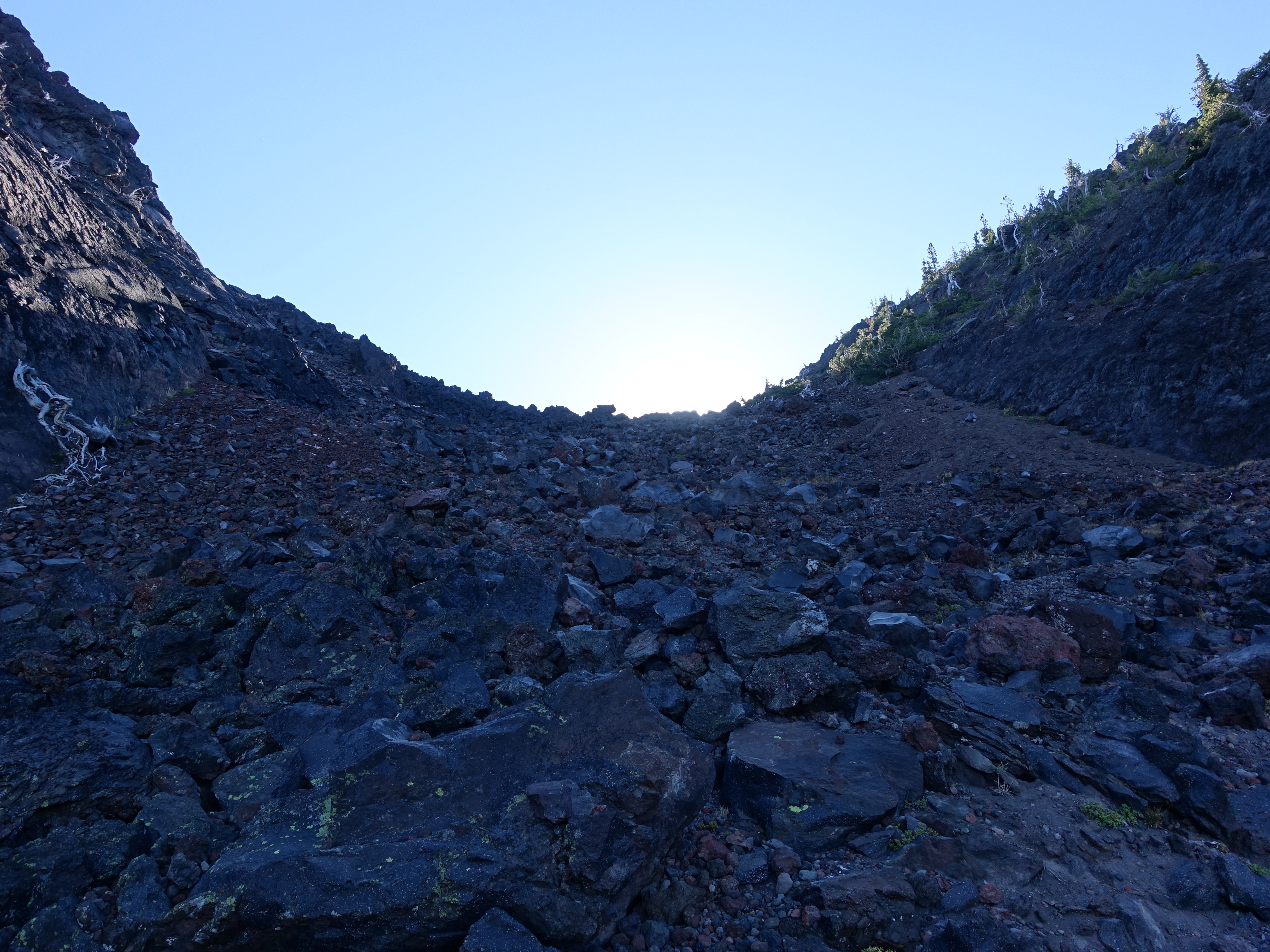
Almost up to Opie Dilldock Pass. Definitely the first time I've climbed lava rock switchbacks.
7 Near the top of the pass looking back down the switchbacks. It's much (much) steeper than it looks here. Also a good view all the way down the lava flow. And also a shadow selfie.
8 The trail here is loose, handball-sized lava rocks. Tough on the ankles. Dr. Rock probably wouldn't have liked this section.
9 
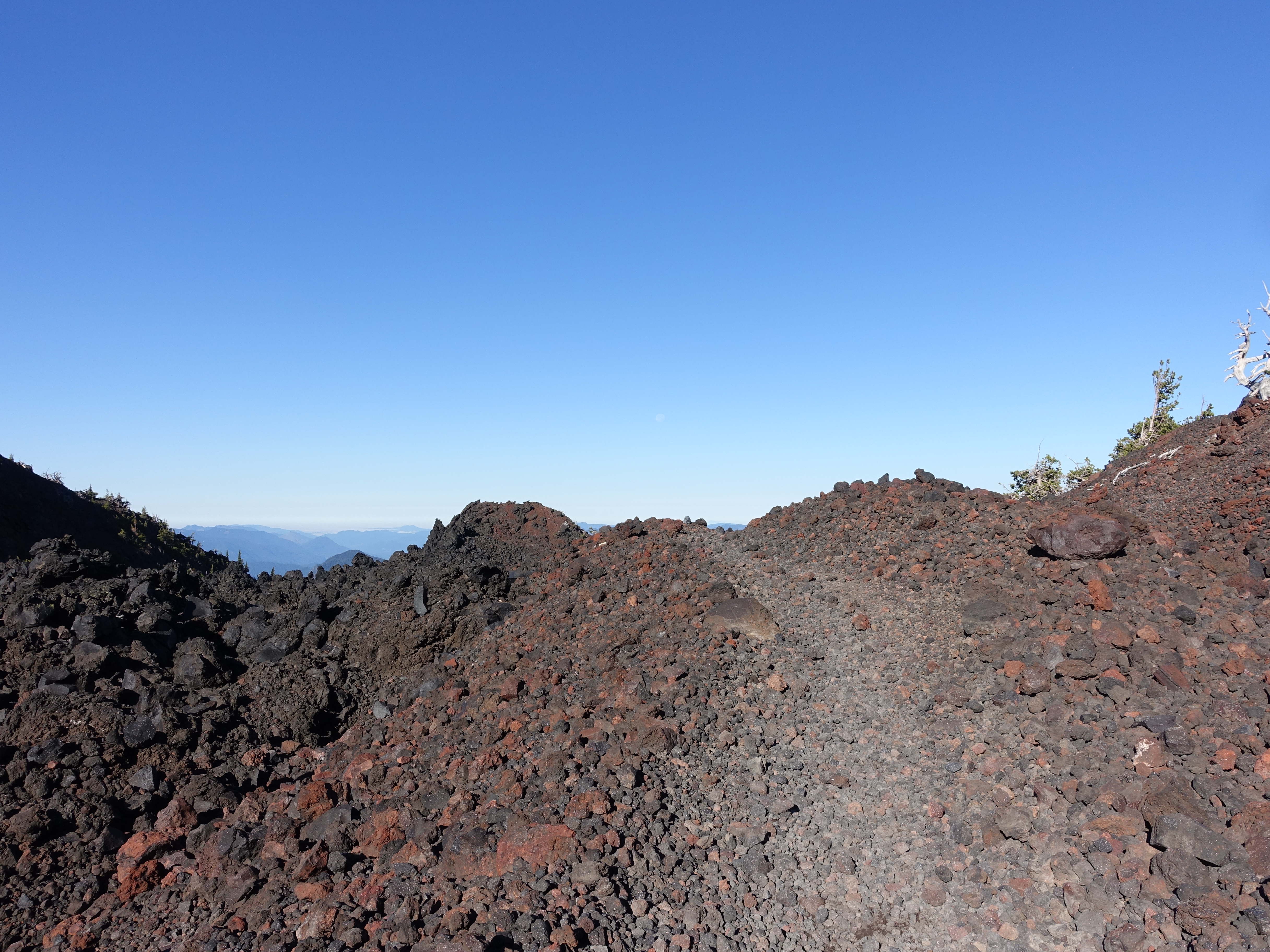
Made it to Opie Dilldock Pass. At just under 7,000', it's the highest point on the loop.
10 Another great view from the pass.
11 
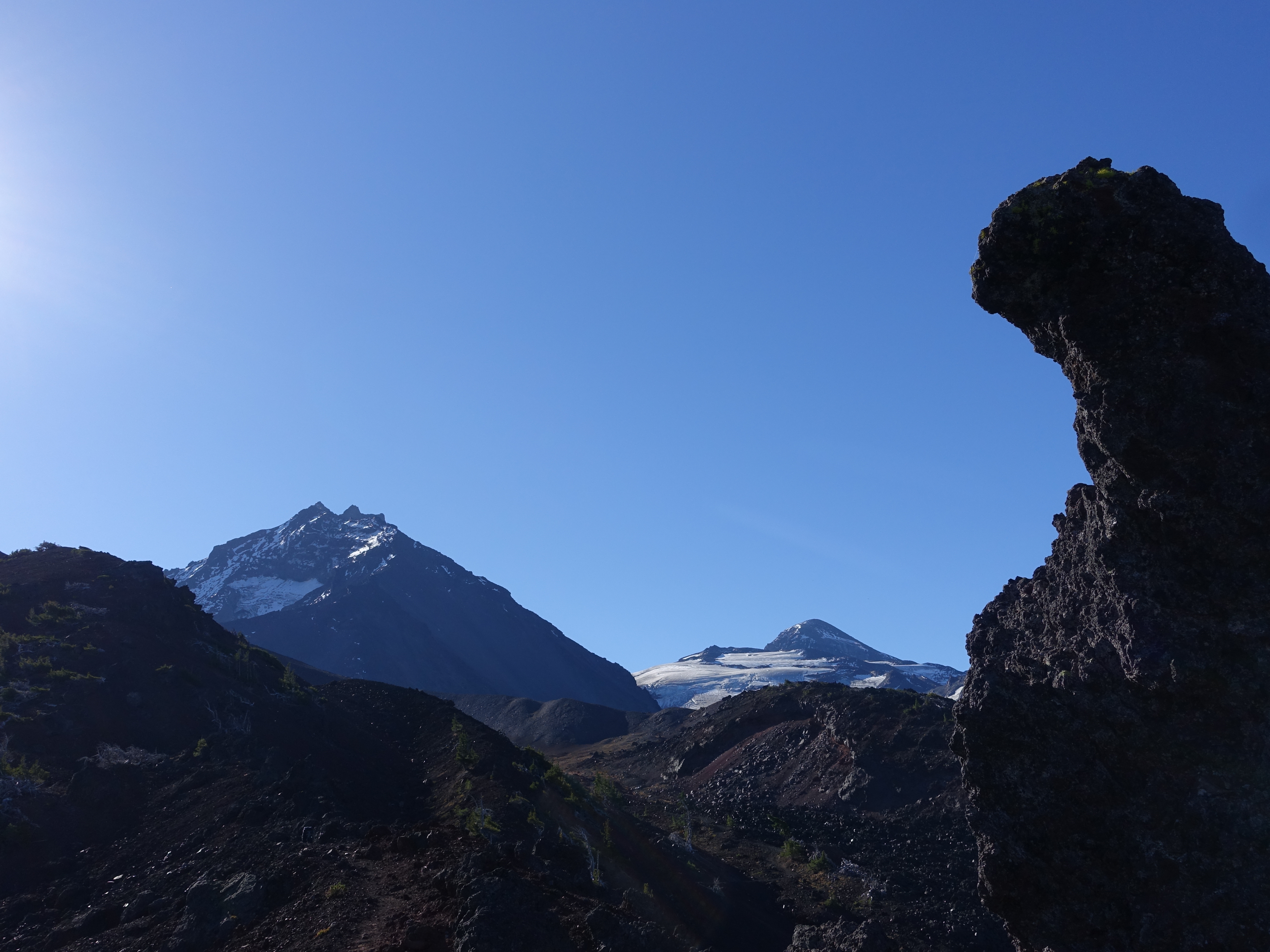
This spot is definitely high on my all-time "pictures just don't do it justice" list. The peaks look like something from the Alps, except with lava rock in the foreground. You can see here just how big the Collier Glacier is.
12 
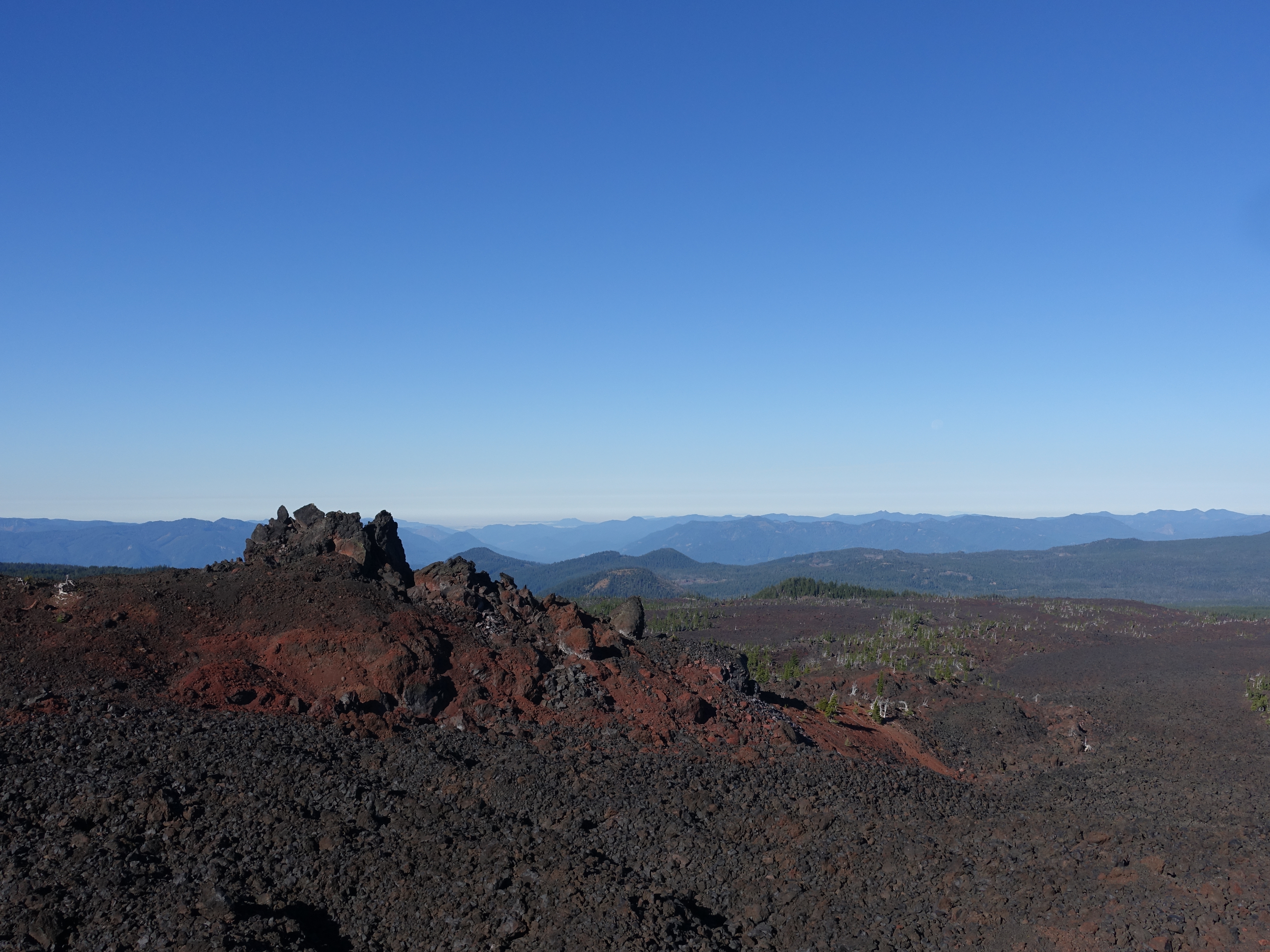
Looking down the Ahalapham Cinder Field. Just imagine the molten lava flowing here thousands of years ago.
13 360 video from Opie Dilldock Pass.
For best performance, you can watch the video on YouTube.
14 Heading down the other side of the pass. It would be a steady elevation drop for most the rest of the day.
15 I can't get enough of this view.
16 Continuing North on the PCT. I have to remember to look behind me occasionally for more great views of the North and Middle Sister. I actually saw a human in this area, the first since Moraine Lake, almost two full days ago.
17 
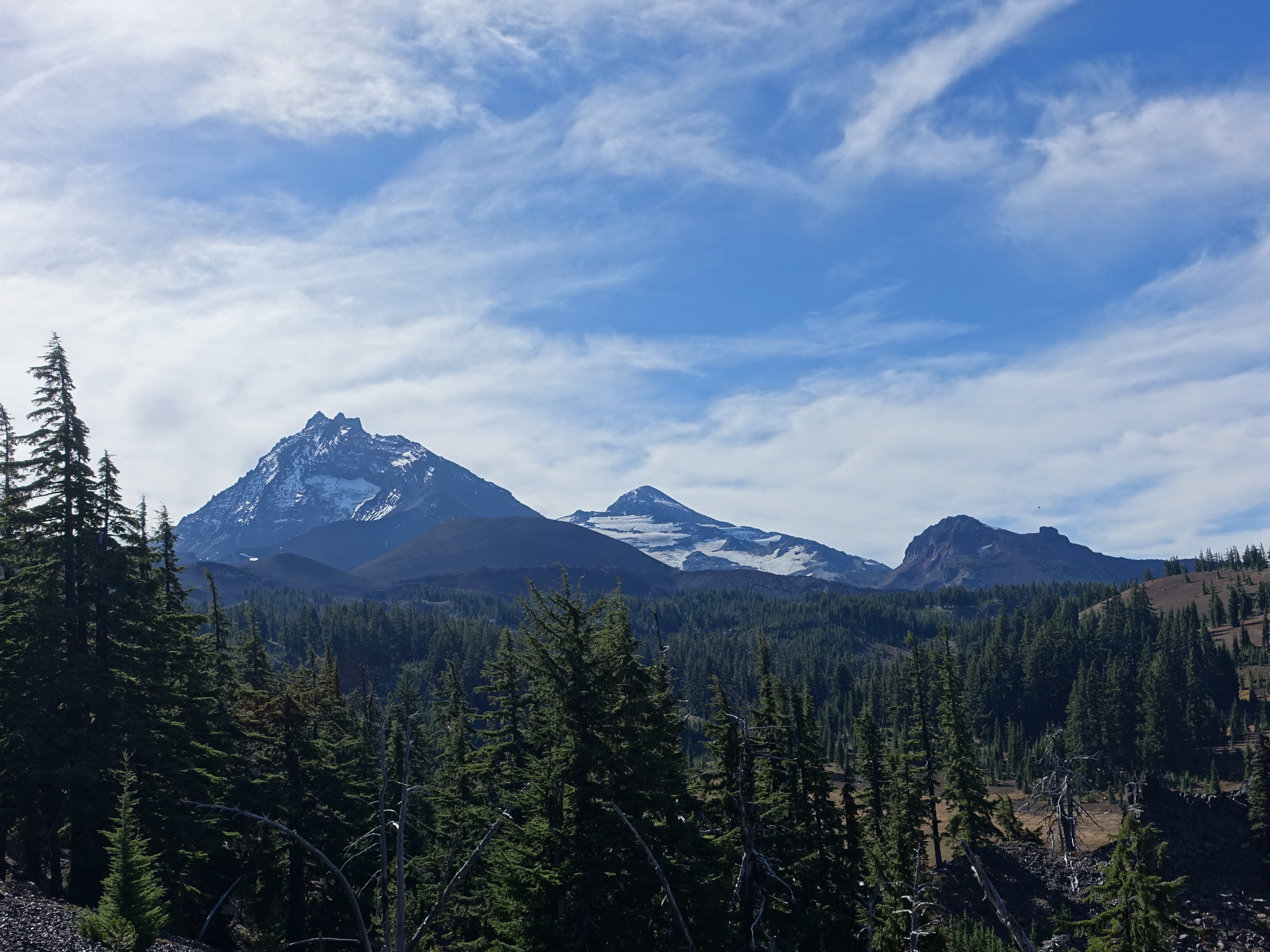
Here you can perfectly see North Sister, Middle Sister, Little Brother (to the right), and Collier Cone (in front).
18 
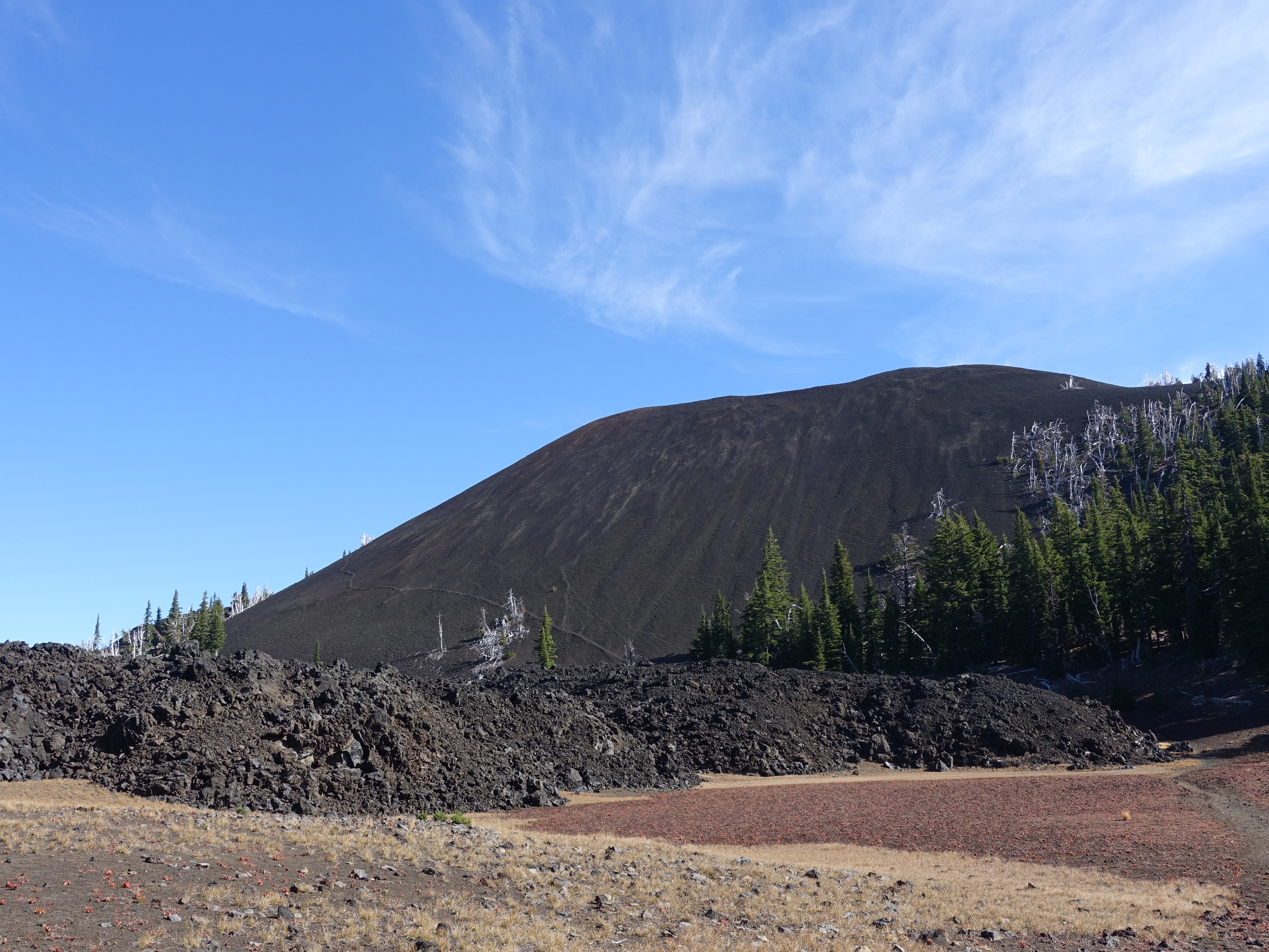
Coming up to the Yapoah Crater. That faint little line up the side is someone's use trail. Who would be dumb enough to try that? Uh, rhetorical question...
19 
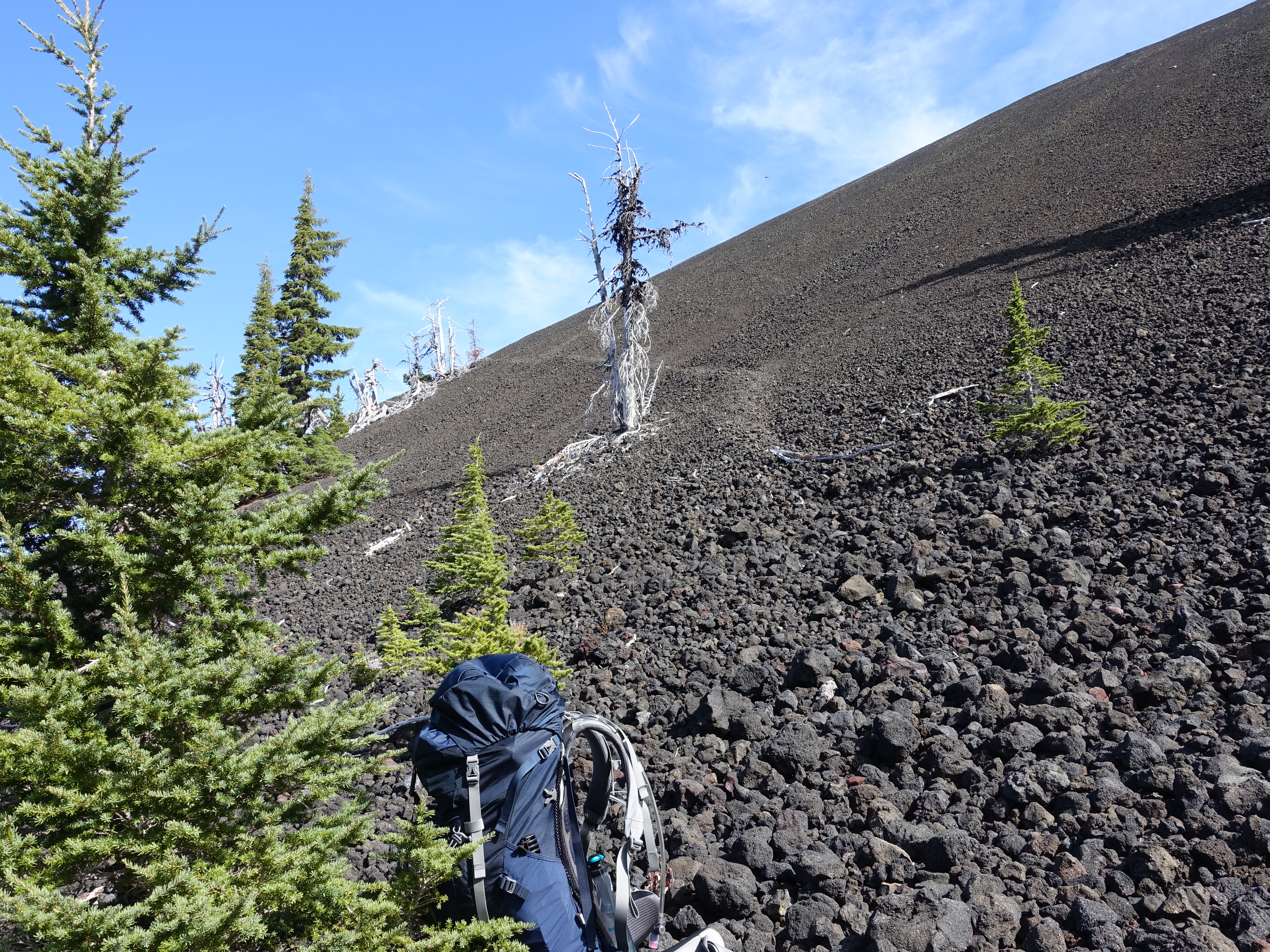
I'm ahead of schedule for the day, so I ditch my pack, and start up the "trail". I figure I can spare about an hour for a side trip to the top and back.
20 
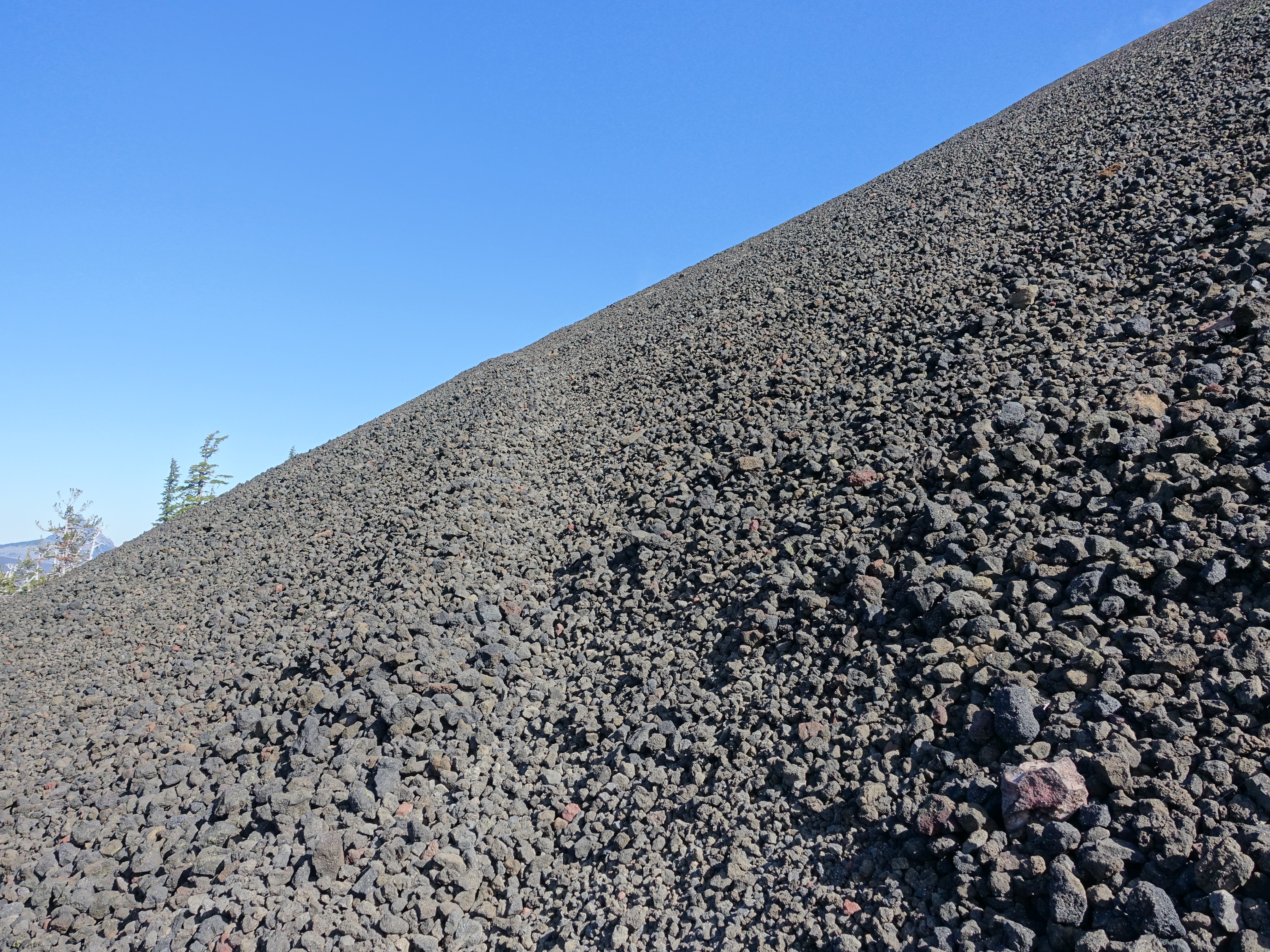
Here you see the "trail" traversing the crater wall. It's like walking up a hill of big marbles, with each step starting a mini-avalanche. It was a little nerve wracking to say the least. Probably not one of my smarter endeavors.
21 But I made it to the top. Here looking into the crater. I still have enough time to walk completely around the rim.
22 Some of the best views from the entire trip up here. It was well worth the hairy climb.
23 Looking down the crater towards North Sister, Middle Sister, and Little Brother.
24 As I was walking round the rim, a group of older women appeared. There was NO way in heck they had come up the little goat trail I had used. I was a little dismayed. But turns out there's an easy, established trail up the other side of the crater. Oh well, my way was definitely more fun. But at least now I had someone to snap a photo for me.
25 360 view from the top of Yapoah Crater.
For best performance, you can watch the video on YouTube.
26 I carefully made my way back down the crater the way I came, and the older women went back down the easy way (they unsuccessfully tried to convince me to do the same). We passed each other going opposite directions shortly thereafter, and they snapped one more photo for me, this time with full gear on.
27 Great North Sister views are over your shoulder most of the afternoon as the trail continues to descend.
28 As are Mt. Washington and Jefferson views.
29 Some of my favorite single track from the entire loop, and it's not even in a forest.
30 All the way back down to the loop junction. Hard to believe it was over three days ago since Dr. Rock and I went left (clockwise) here. It's tempting to go for another lap, but I'm really starting to get anxious to see if our car is still at the trailhead, and to see how Dr. Rock is doing.
31 Back to South Matthieu Lake with different lighting than we had on Sunday.
32 And the same great South Matthieu and North Sister view as Sunday, except with a few more ripples on the lake.
33 Shorty after South Matthieu Lake, the PCT branches off for a while, which is a different route than we took on the way out. I tried the new route to experience some new trail. These cool PCT markers are frequently used at the trail junctions here.
34 One last epic view of North Sister from the PCT route.
35 And one last view of the Mt. Washington, Three Fingered Jack, Mt. Jefferson string of peaks.
36 A look down on North Matthieu Lake from the higher PCT route.
37 After completing the PCT section and then joining back up with the Matthieu Lake trail, it's time to exit the Three Sisters Wilderness. While I'm eager to finish, I'm definitely sad to be nearing the end.
38 Made it back to the trailhead. Fortunately, there were a few day hikers not far behind me to take a finishing photo. Another amazing journey in the books.
I was able to re-connect with Dr. Rock in Redmond shortly thereafter. He was in good spirits after taking a couple days to fully recover. Definitely an experience neither of us will forget!