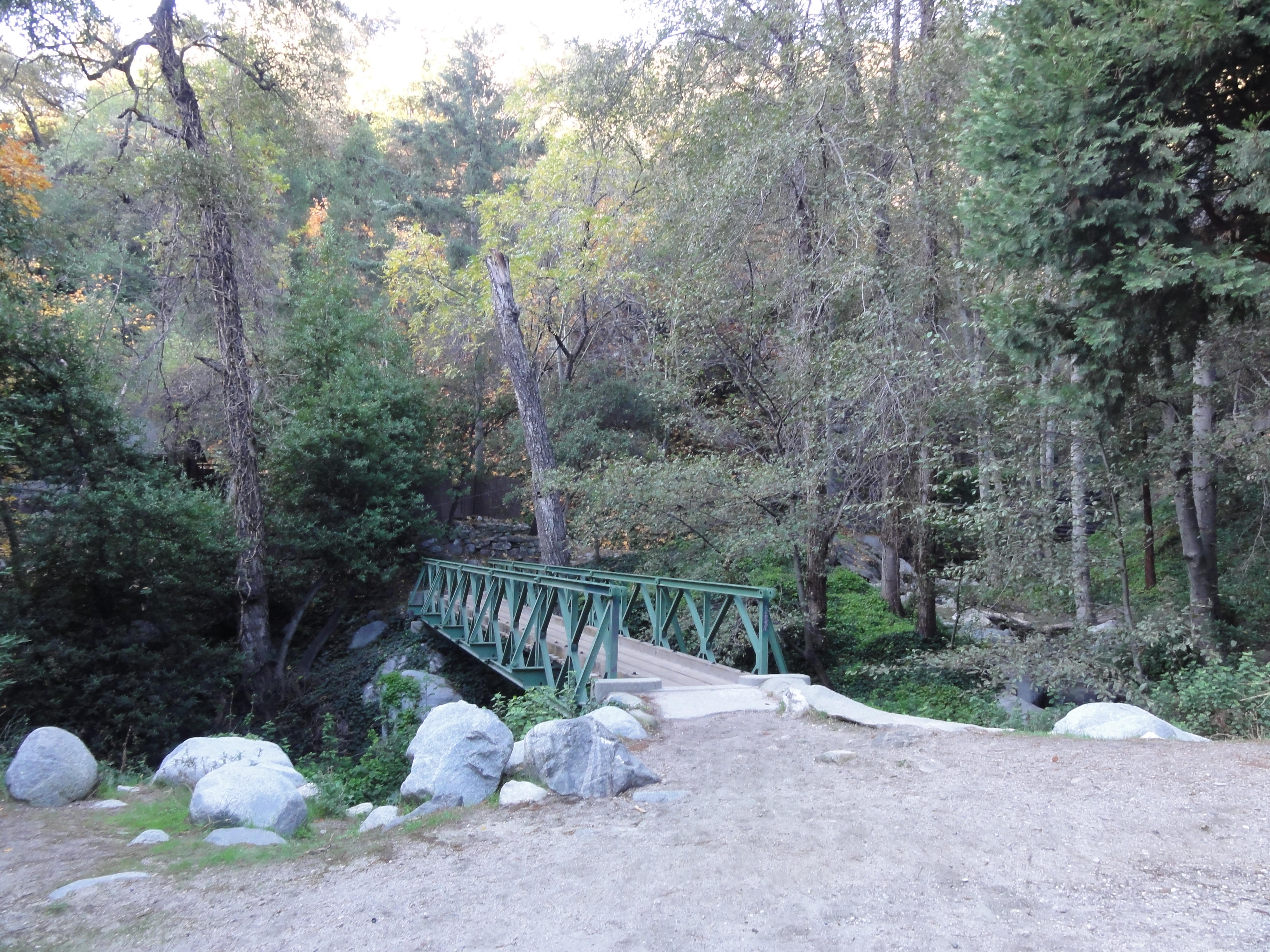
Bottom of the road from Chantry Flat, ready to get on some real trail.
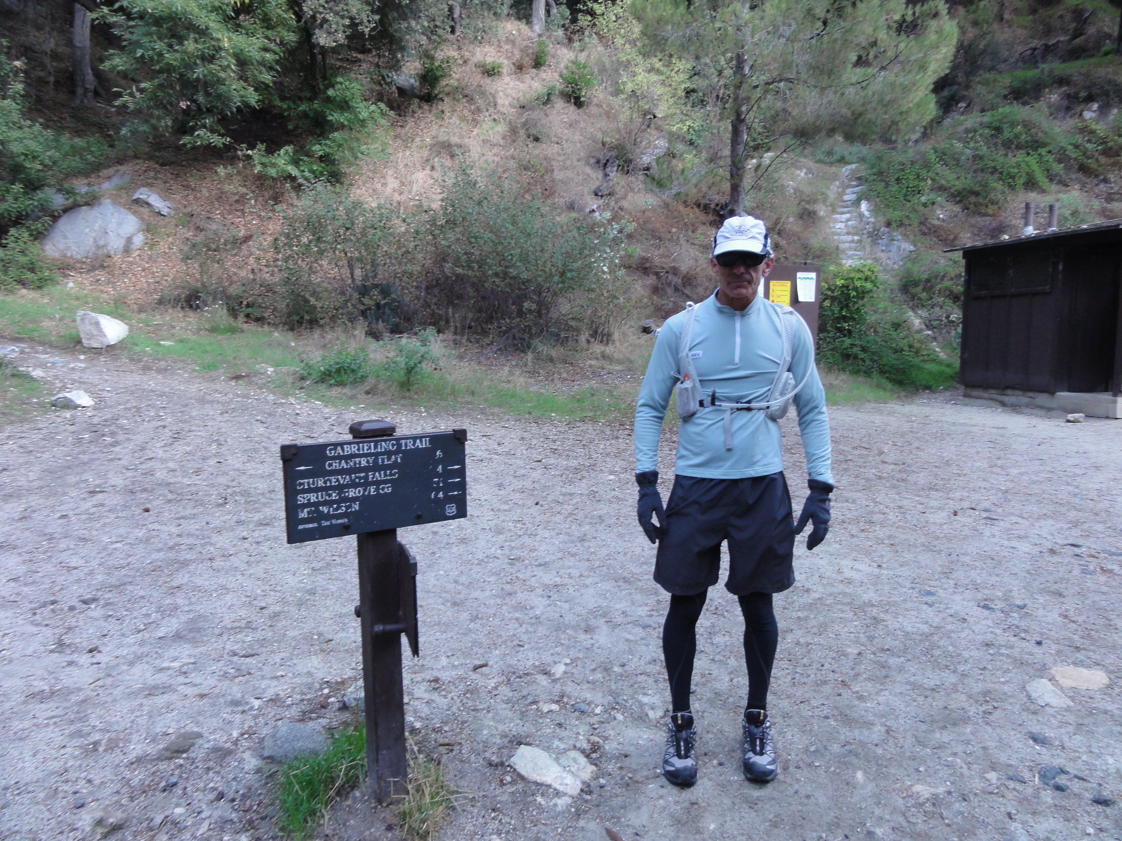
Dr. Rock at the Gabrielino trailhead. The temperature is in the low 40s, but it looks like the weather will be perfect today.
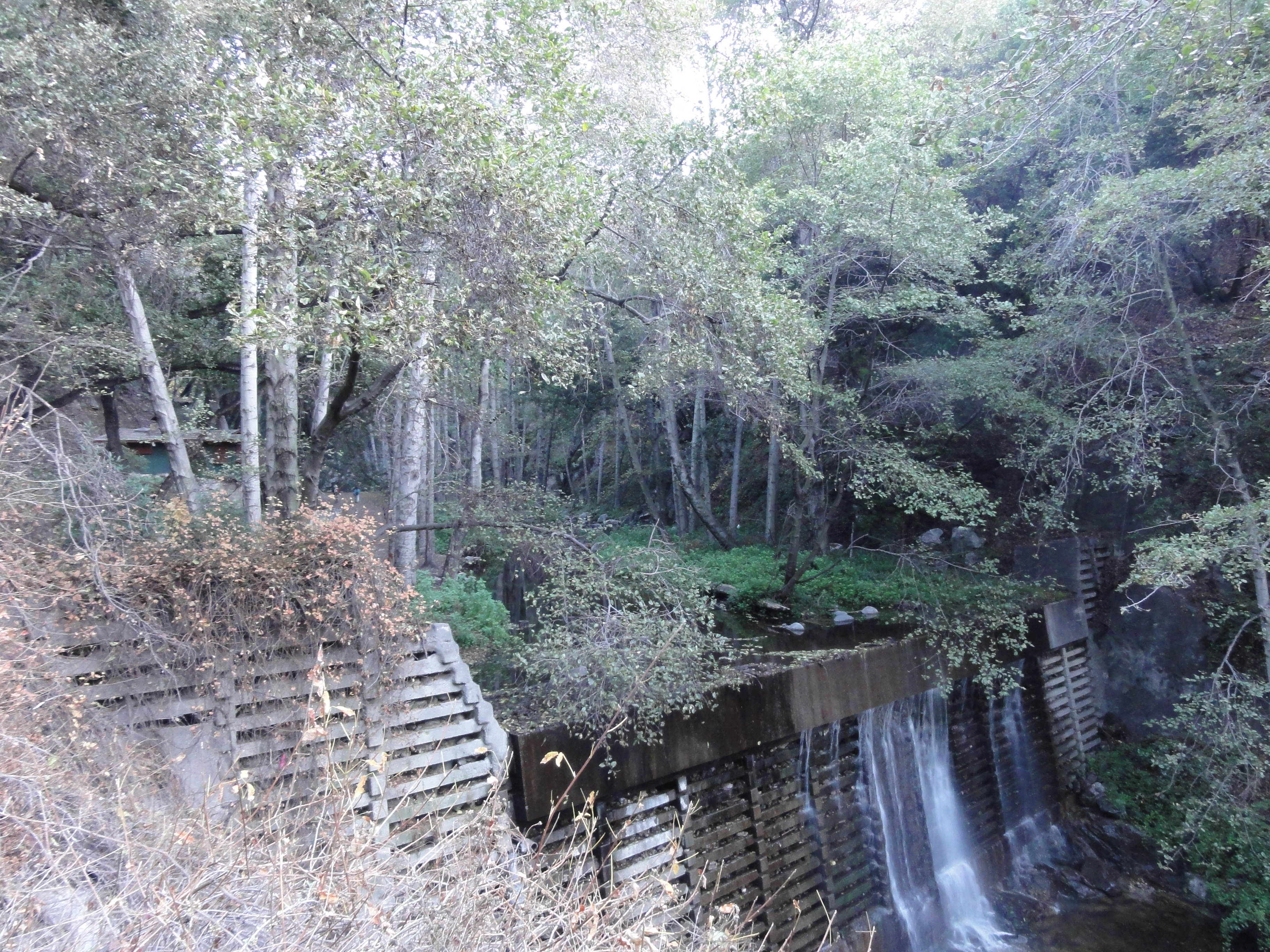
There's still plenty of water flowing, just like this time last year.
Approaching Sturtevant Falls.
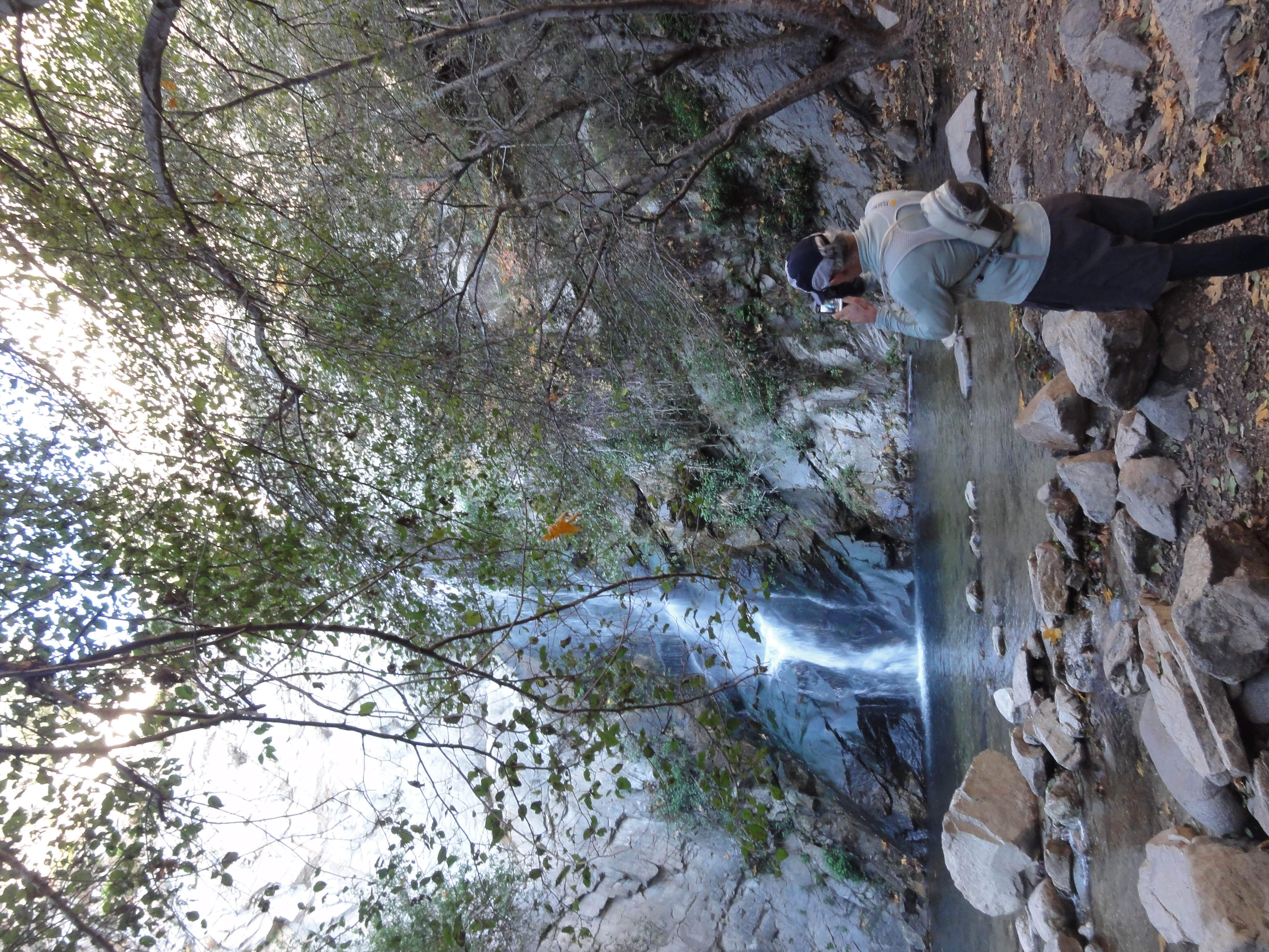
Taking a picture of Dr. Rock taking a picture of Sturtevant Falls.
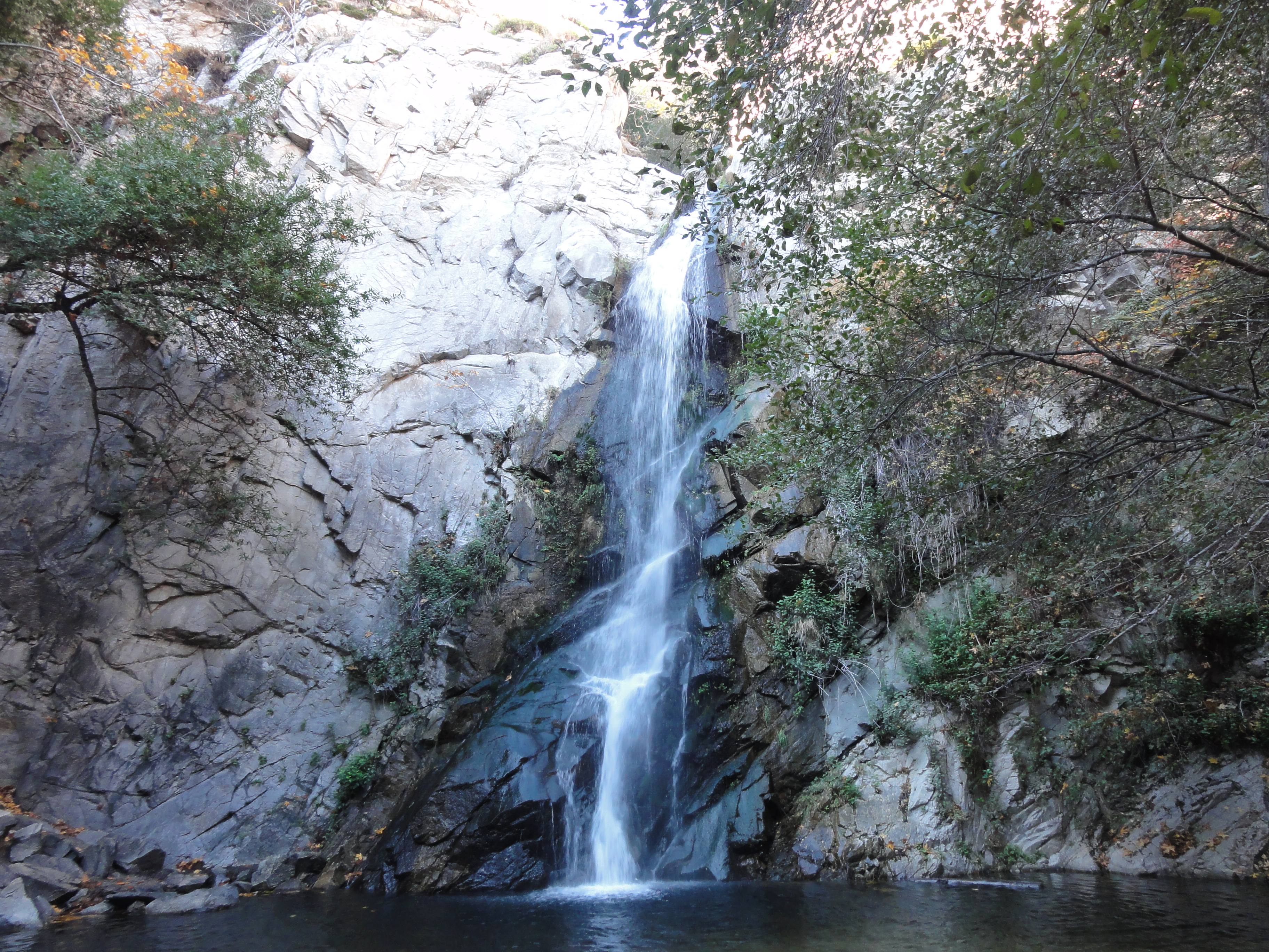
Not Yosemite caliber, but definitely not bad for Southern CA.
Another look at the falls.
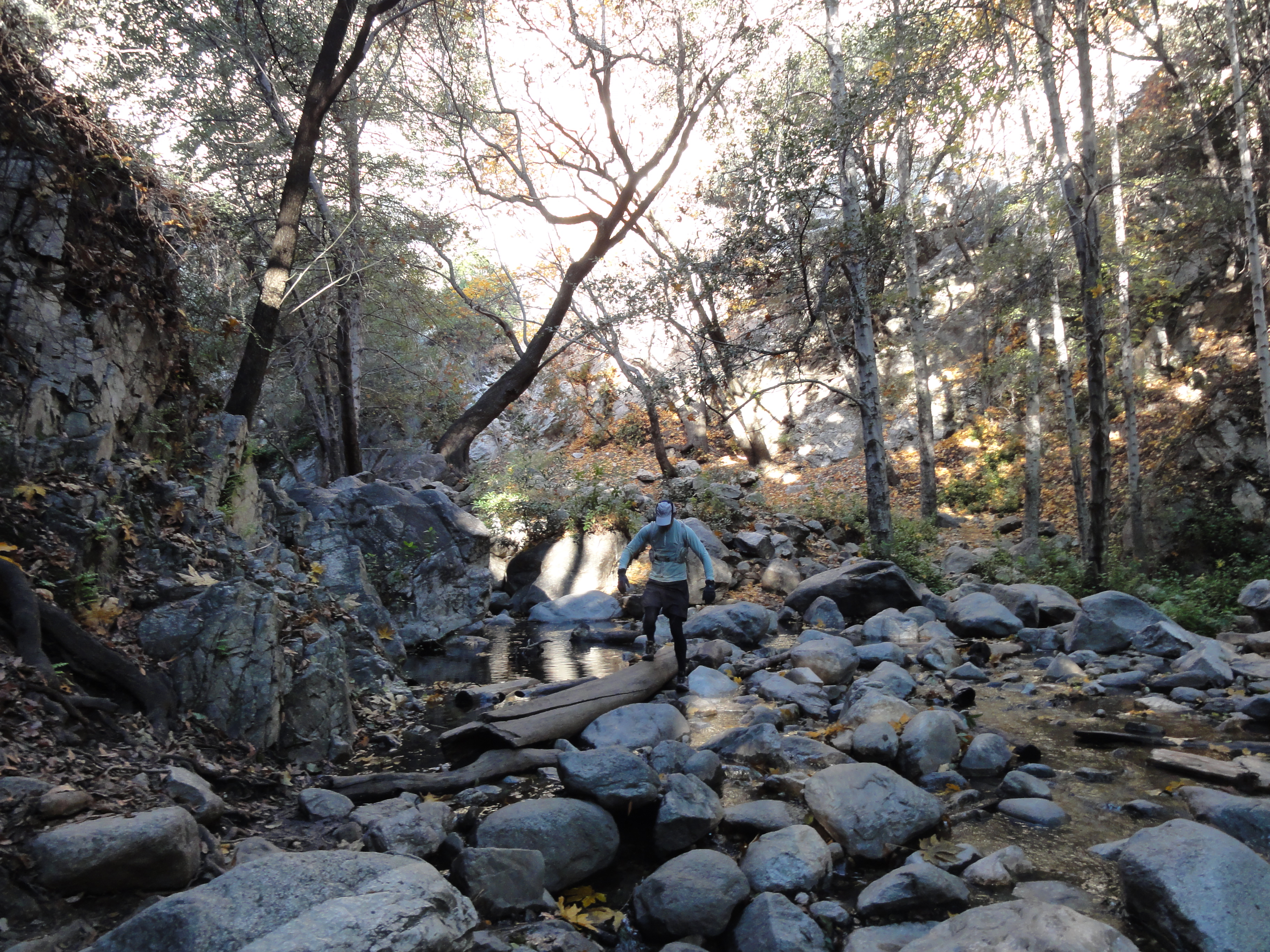
Dr. Rock making one of the many stream crossings along the trail. Dr. Rock loves stream crossings.

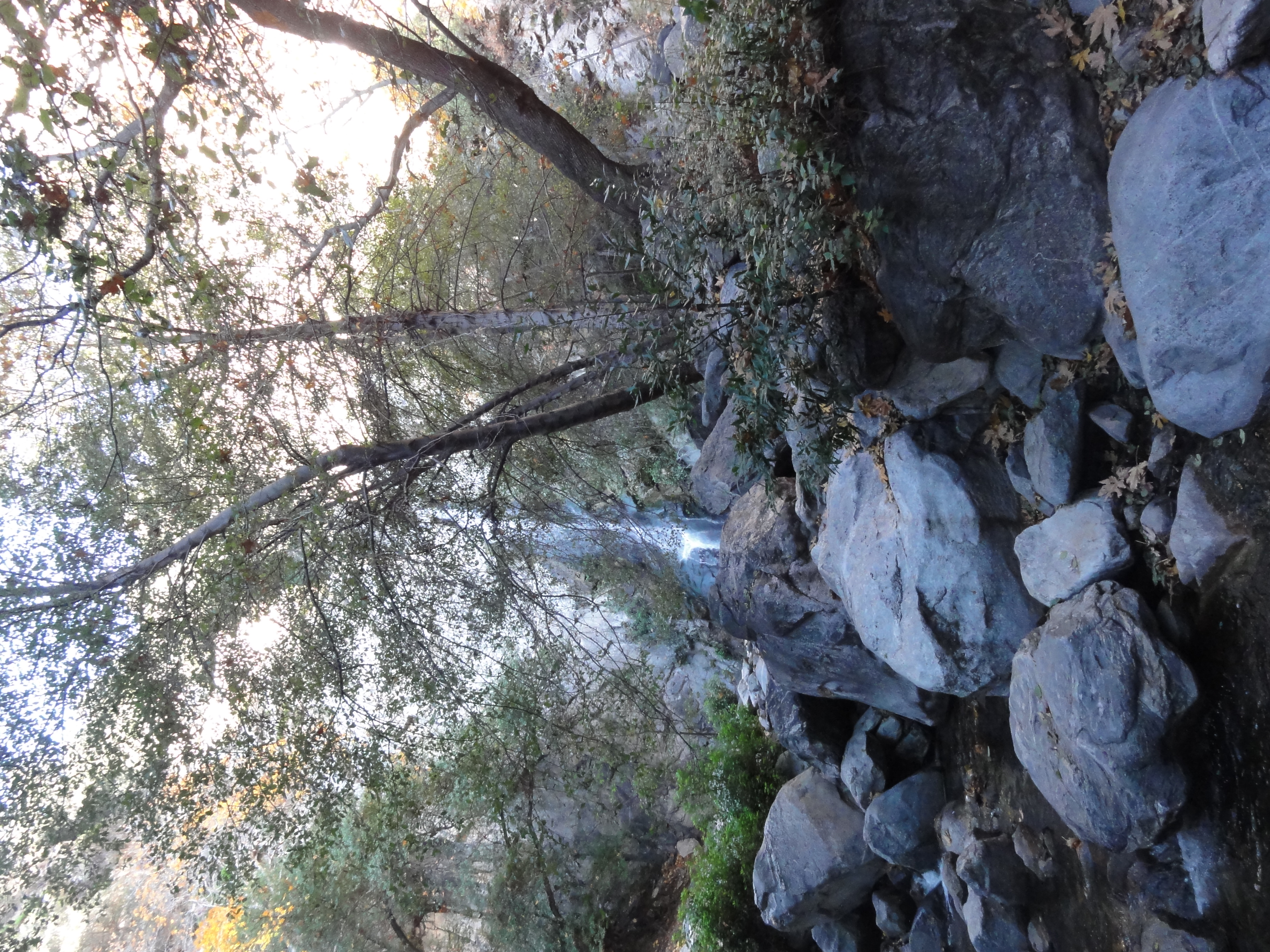
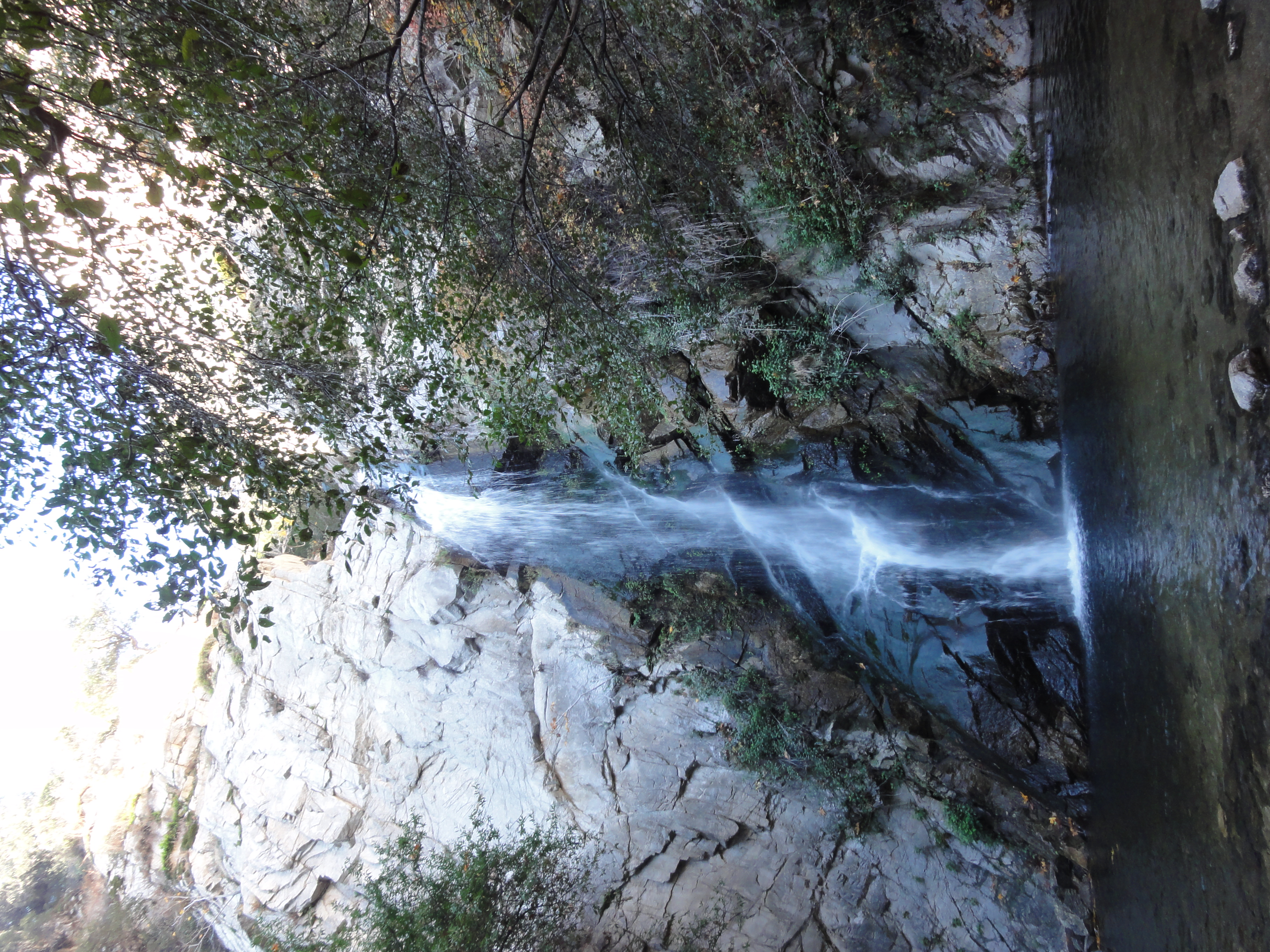
One of the many mini waterfalls above Sturtevant Falls.

Another small waterfall in the upper portion of Santa Anita Canyon.
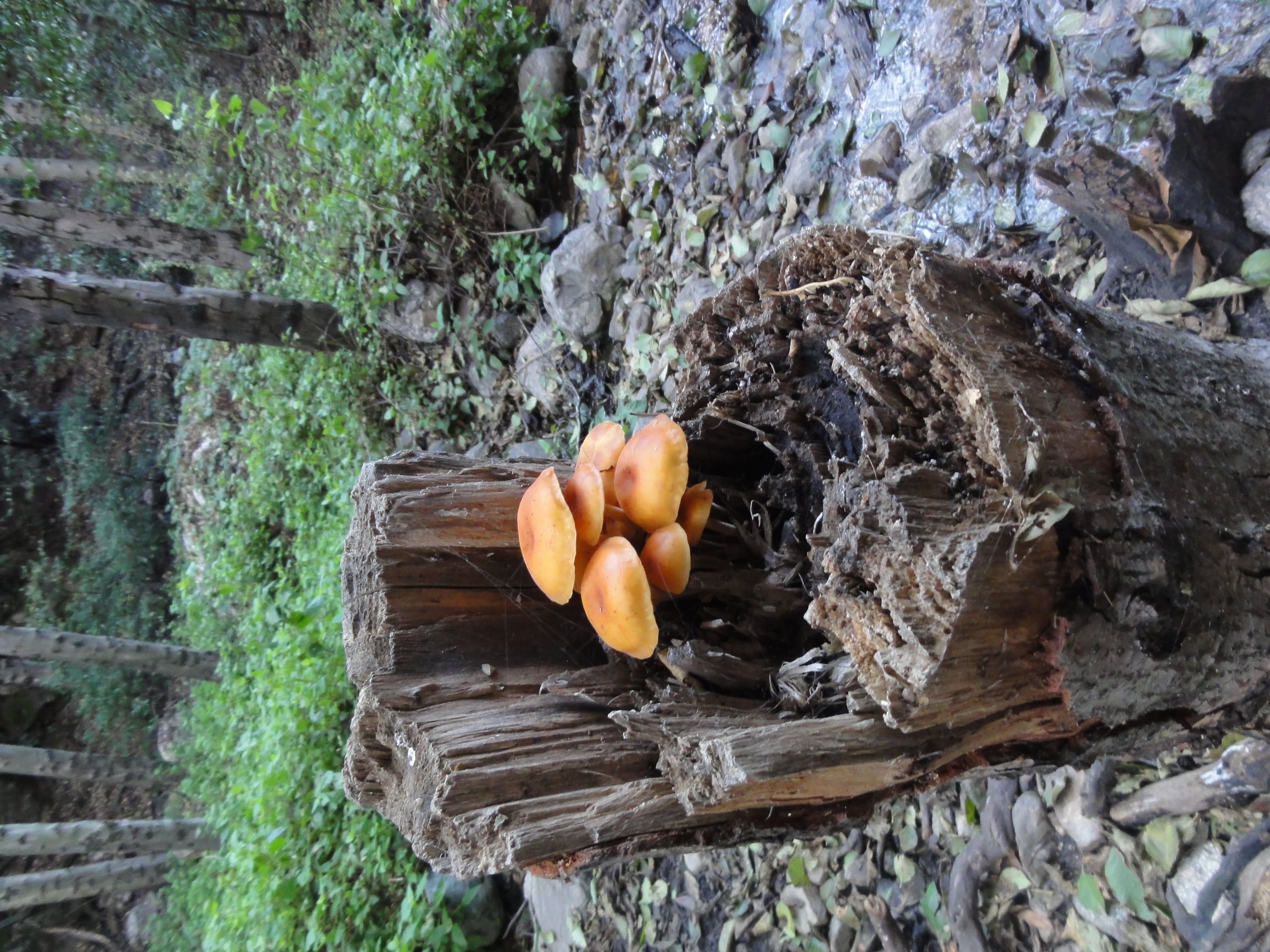
A random, cool picture. Mushrooms on a stump.
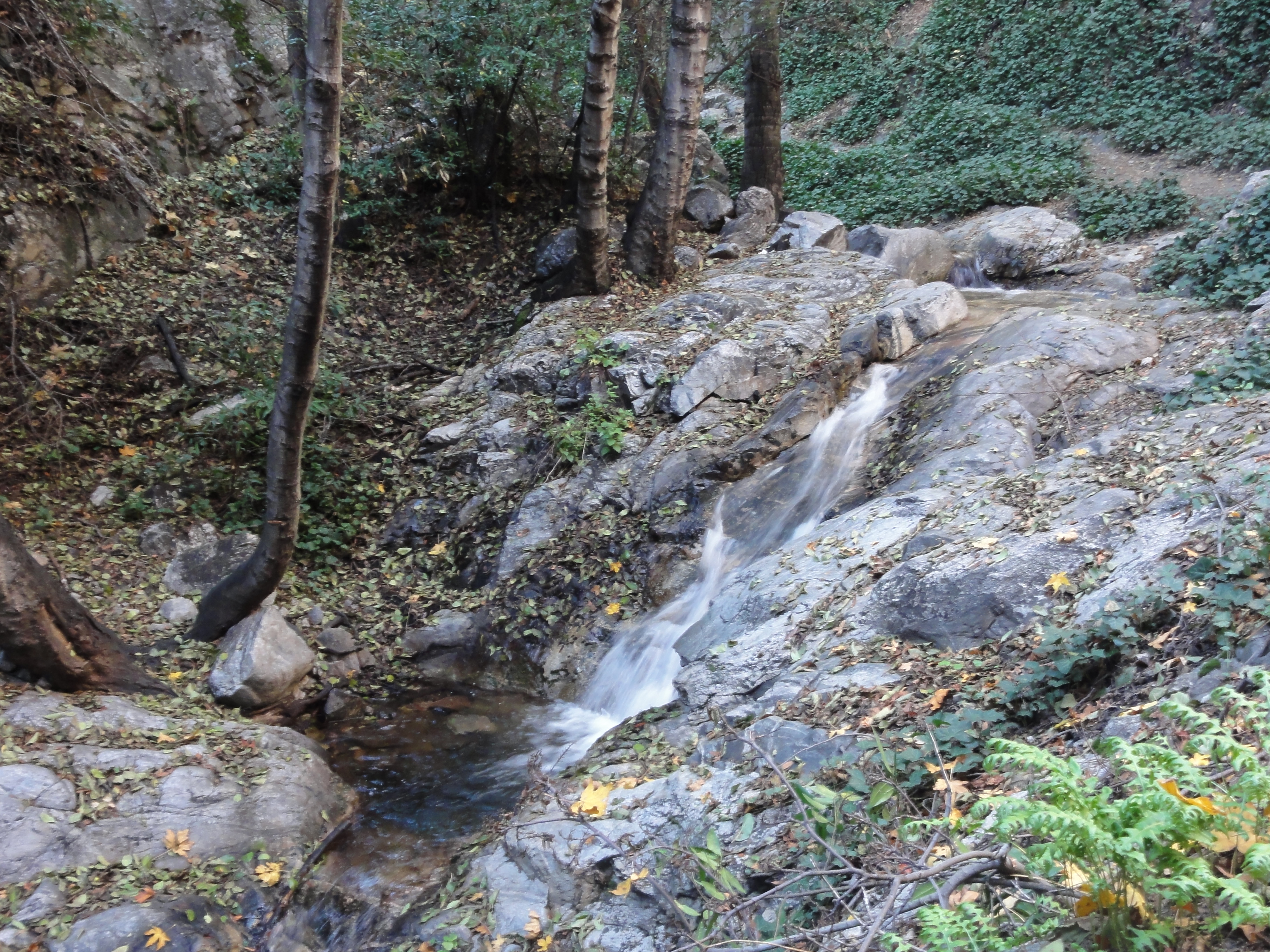
There are plenty of small cascades along the trail.

We made it to Camp Sturtevant.
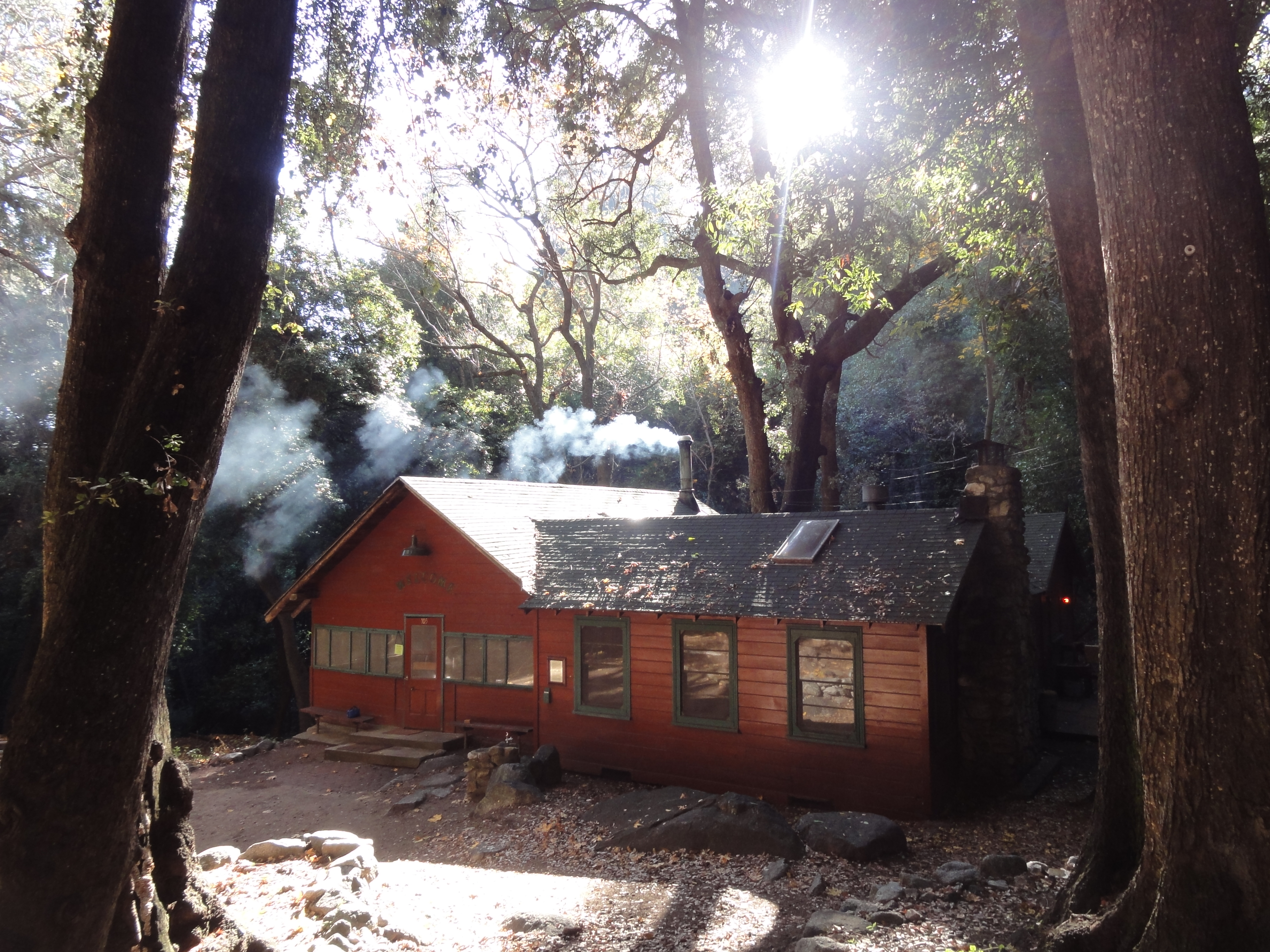
Looks like someone's home.
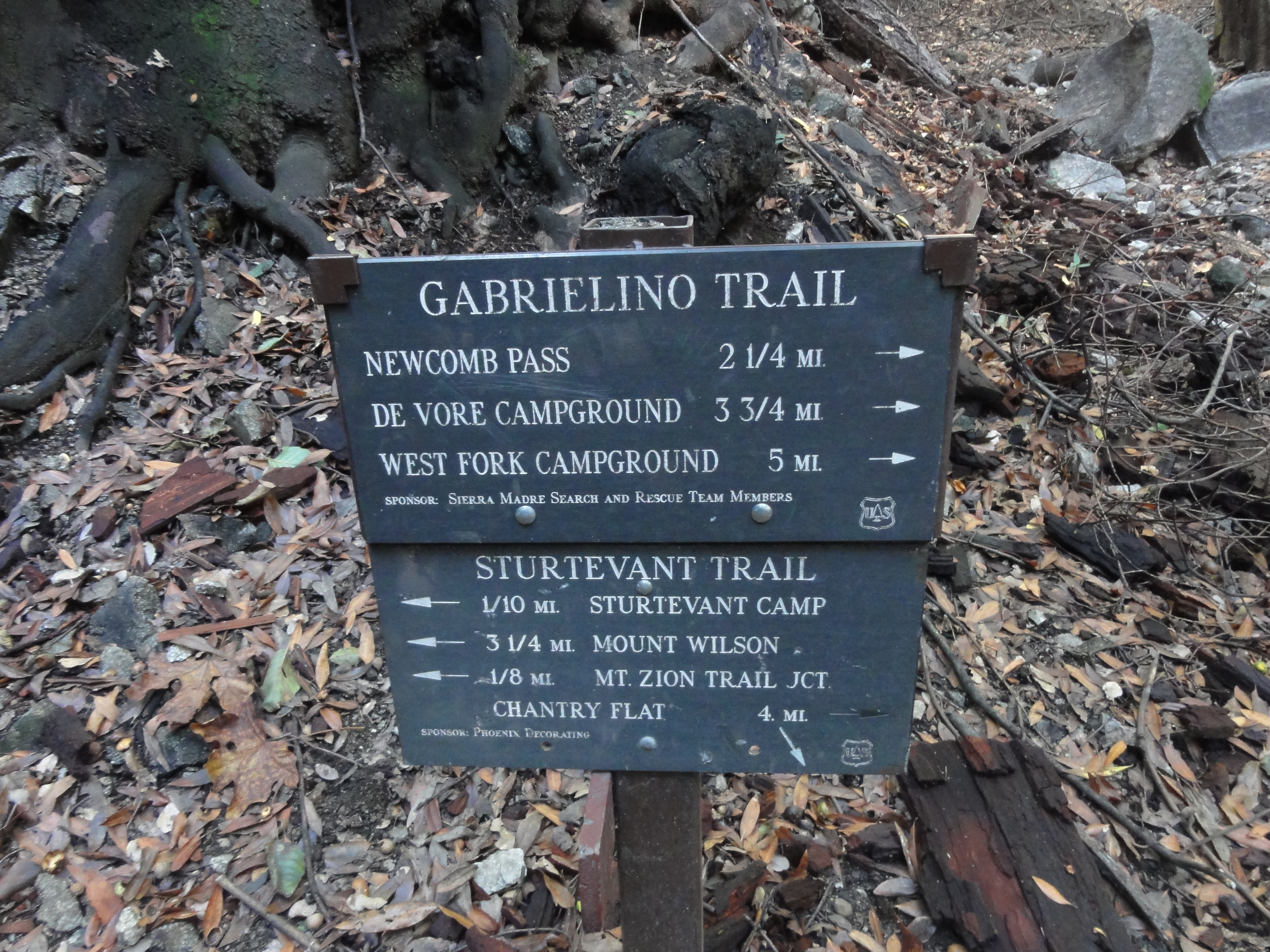
We take the trail less traveled to the top, via Newcomb Pass. Because Mount Wilson is not listed on the trail sign pointing East, and because that route is…
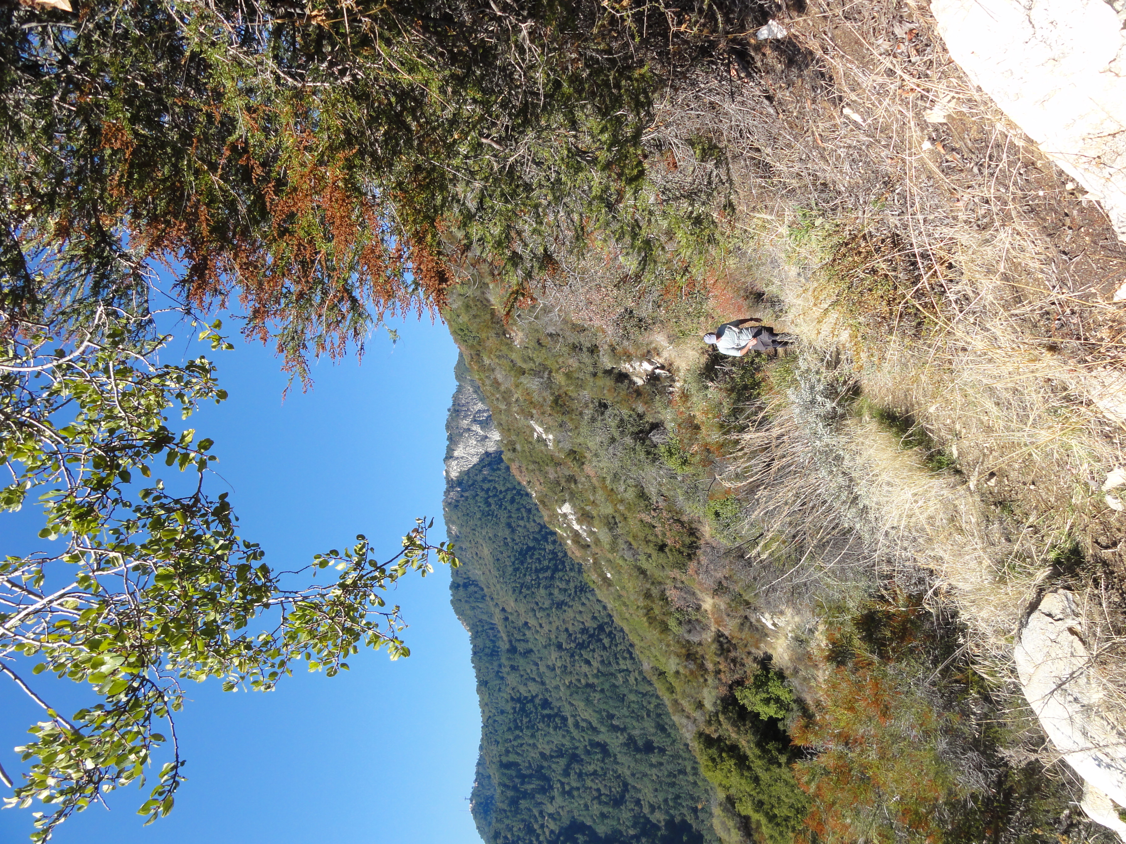
A change in vegatation and terrain with the first sighting of the observatory on the summit in the distance.

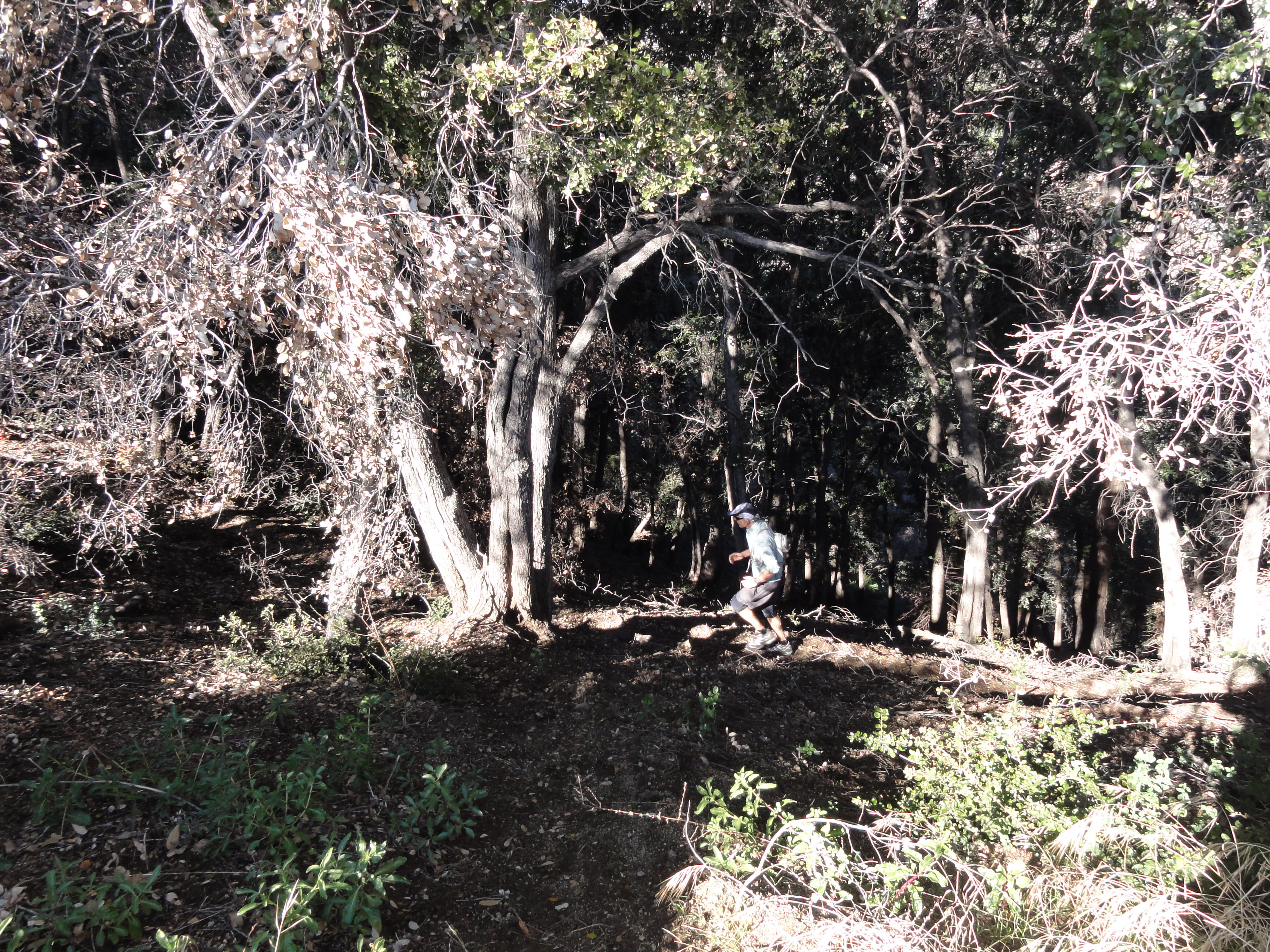
Dr. Rock running some of the amazing single track above Newcomb Pass.

Some more great single track. The trail was spongy from the recent rains and covered in a heavy layer of leaves and acorns. It was almost like running in sand.
Dr. Rock powering up the switchbacks.

This should be the cover of the next issue of Trail Runner magazine.