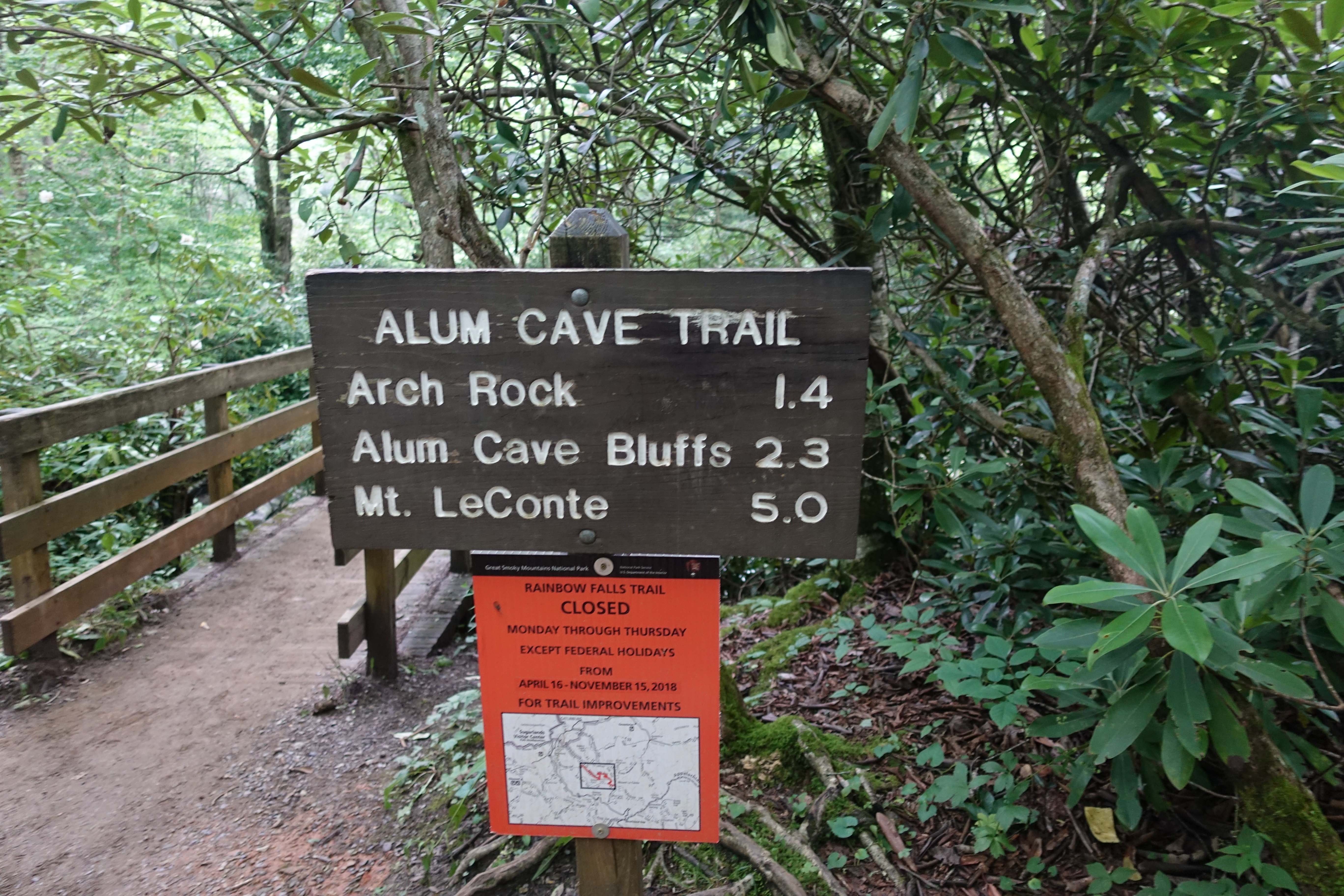
Most people here seem to consider Charlies Bunion a full day hike, but I was just getting warmed-up. So I decided to hike out to Alum Cave bluffs, one of the…

I was honestly a little underwhelmed by Charlies Bunion, and this trail was also highly rated. I am really glad I decided to try it. The first couple miles have…

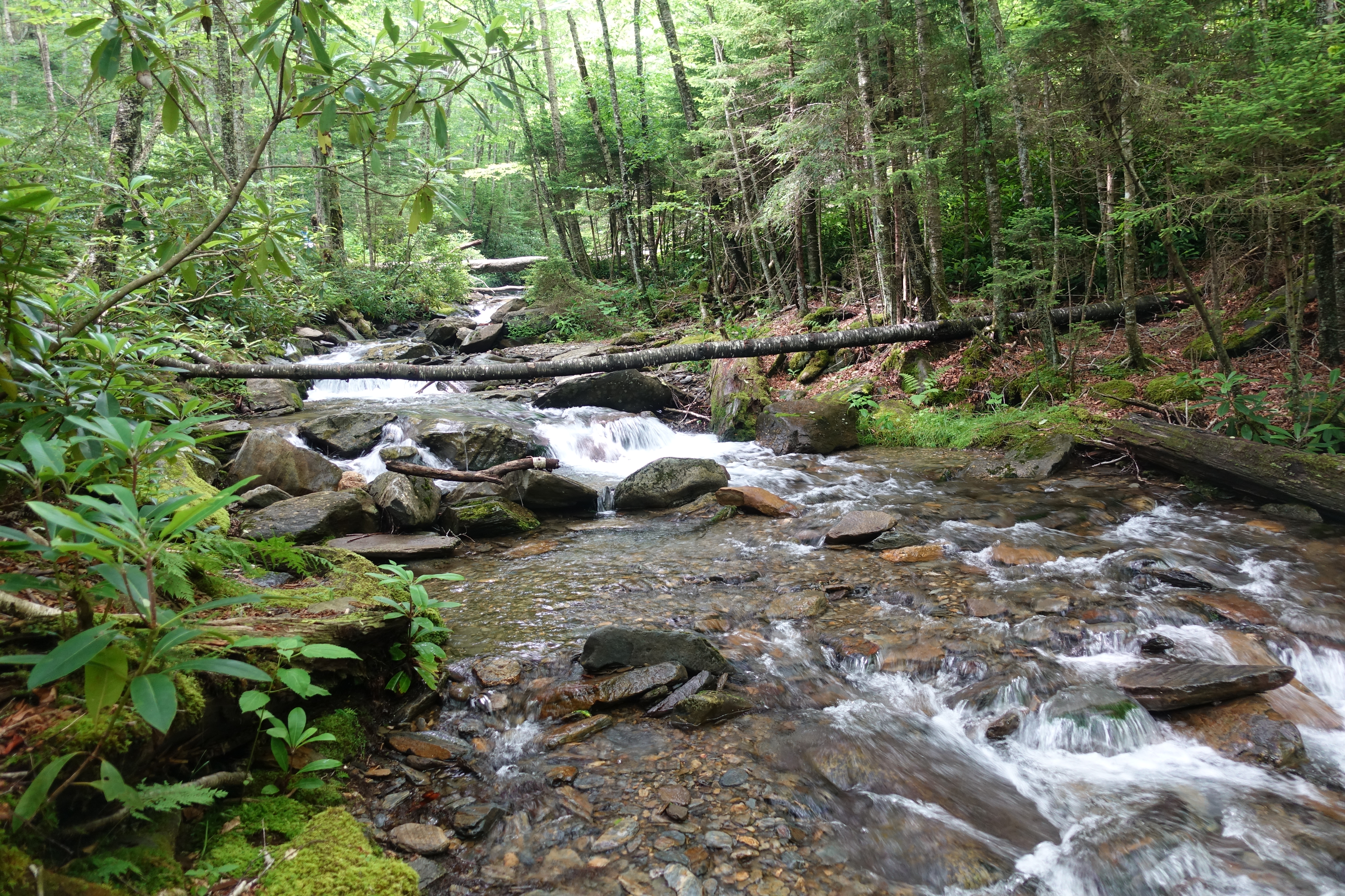
Reminded me a lot actually of Olympic National Park in Washington. Tons of water and endless green, just a different type of trees. I had no idea that at 85…
The perfect back yard.

And one last cascade shot.
Now it's time to head up Arch Rock. A great example of the amazingly difficult (and maybe overzealous) trail work of the CCC.
Stone stairway heading up through the rock.

More amazing stone work.
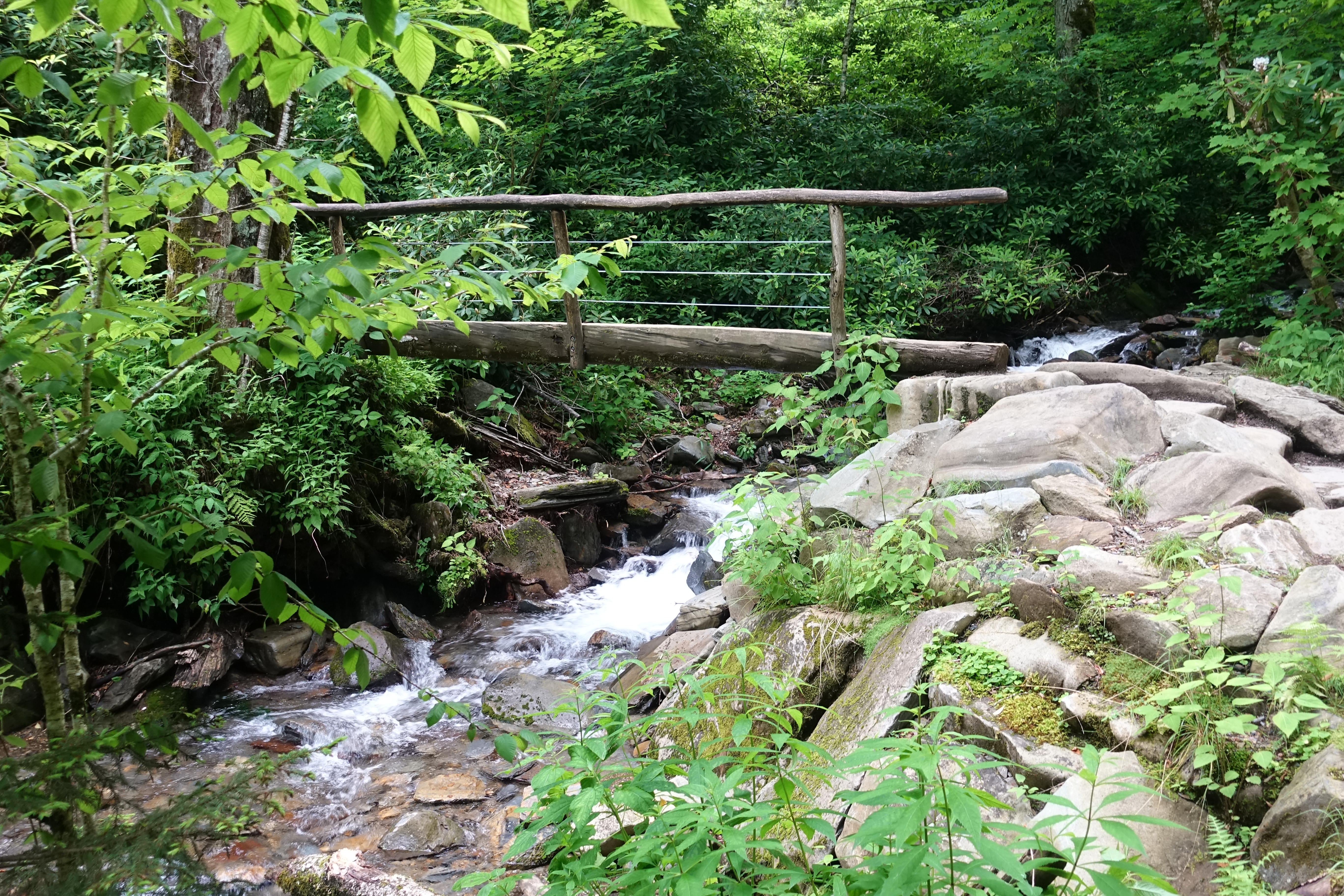
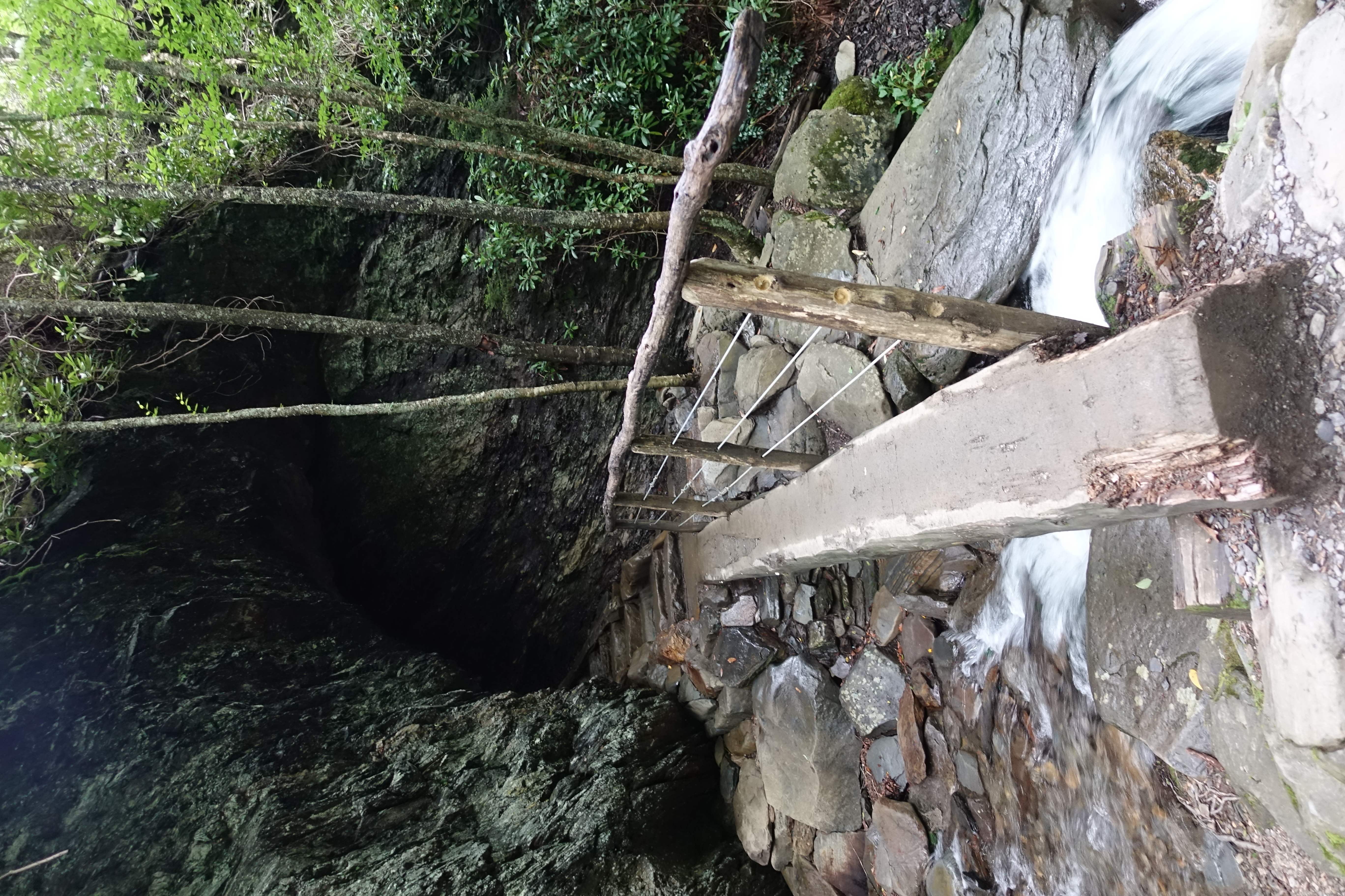
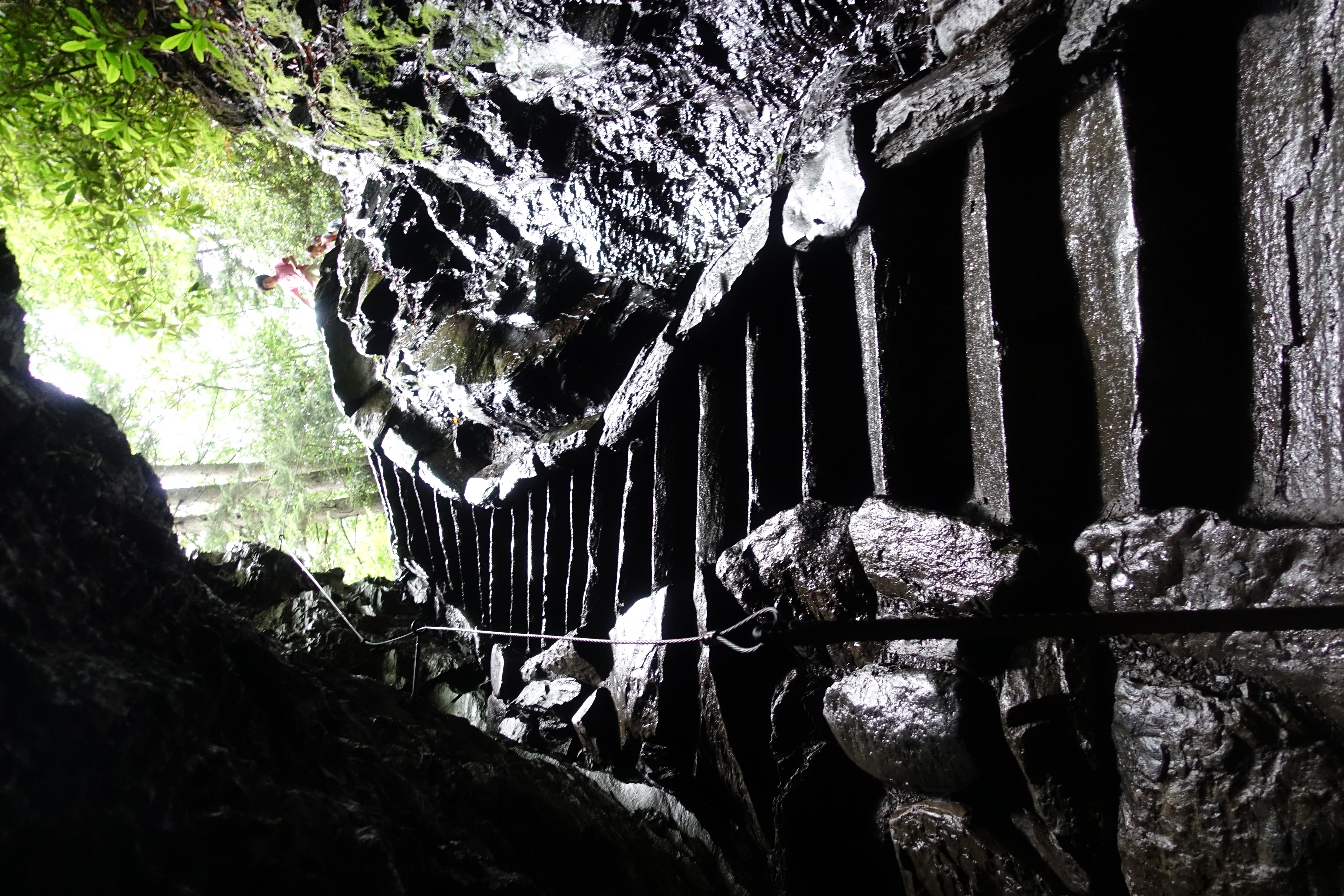
On to the next section of trail and more of the beautiful 1-rail footbridge creek crossings.

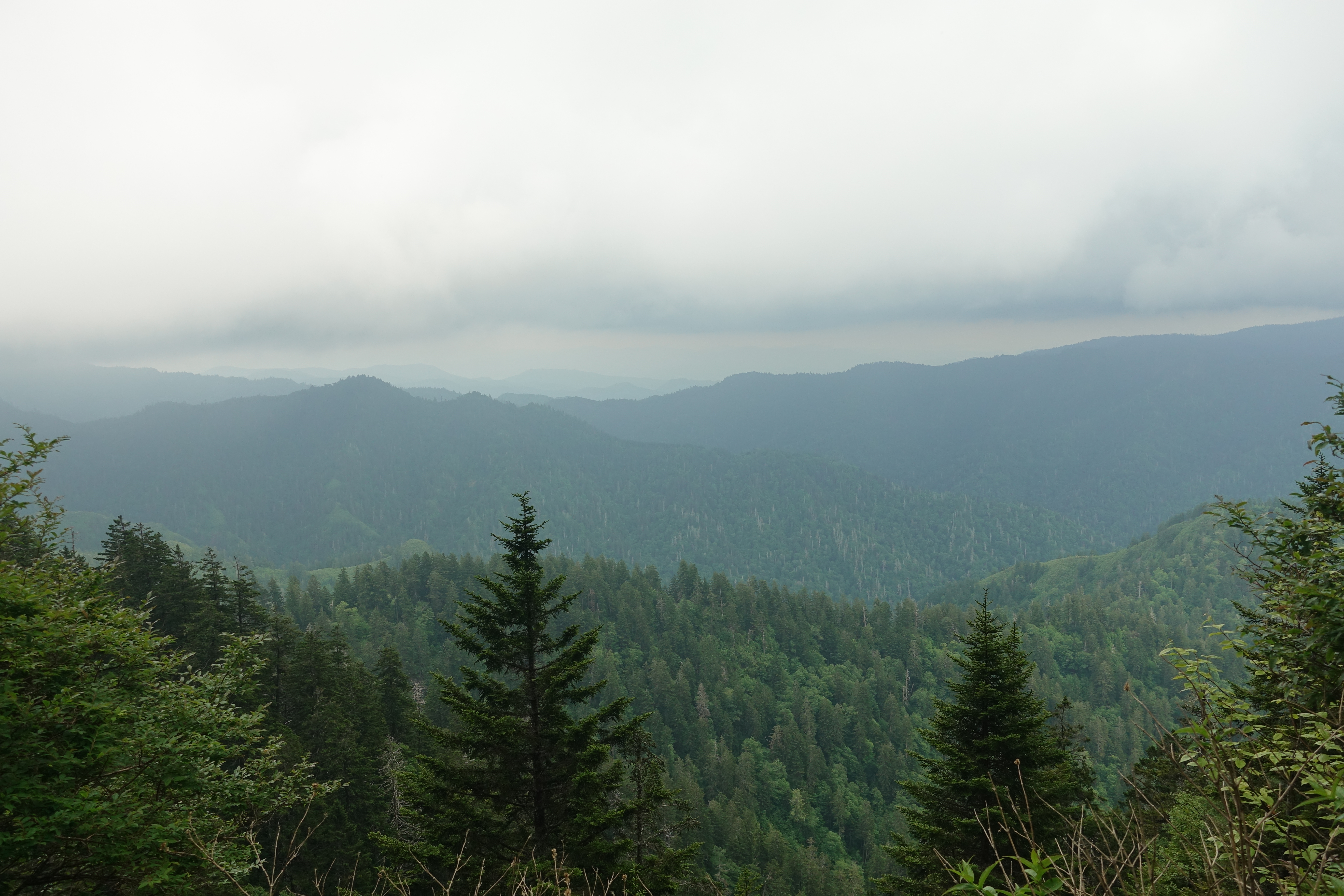
More green Smoky Mountain views.
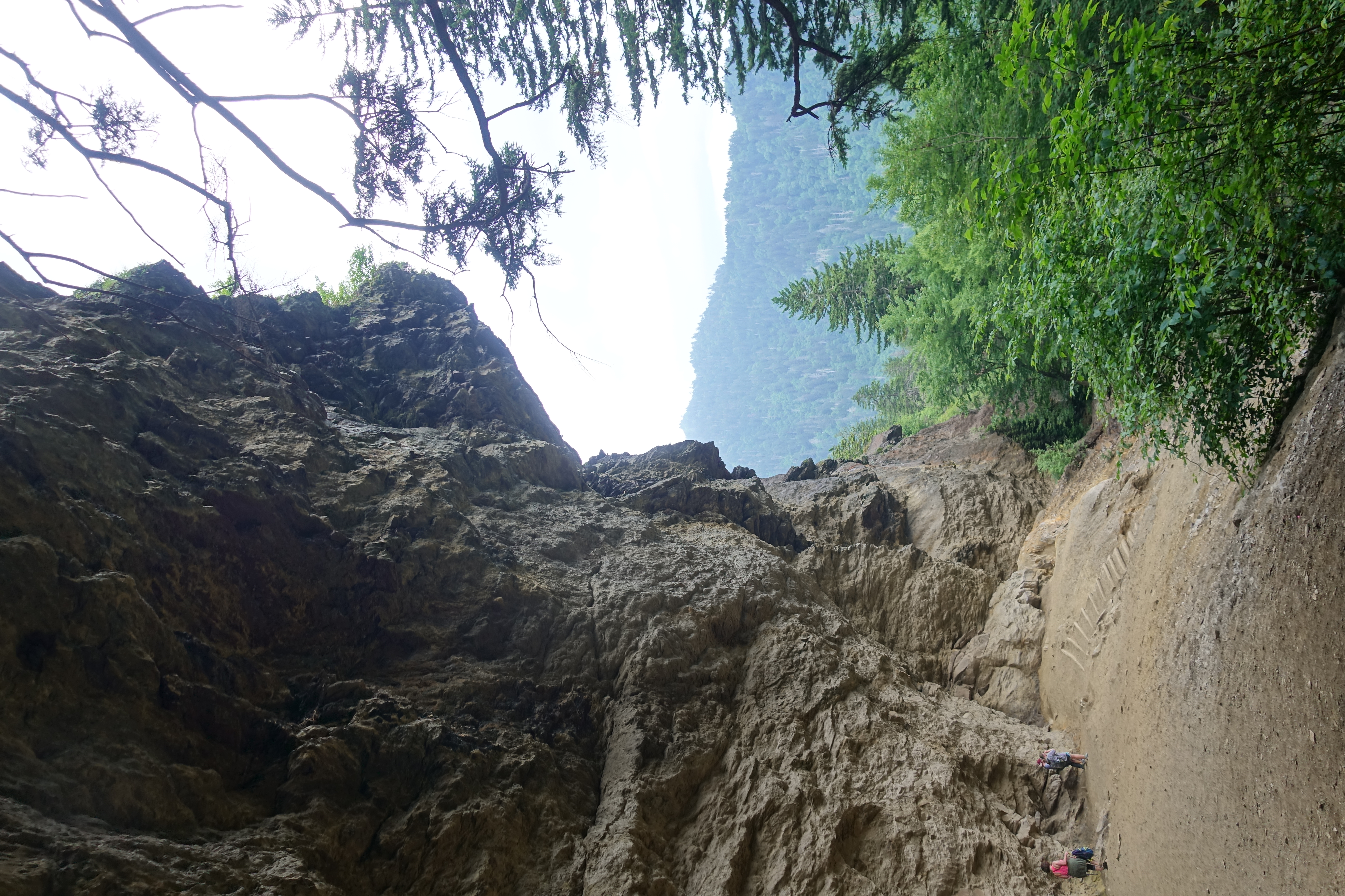
Made it to Alum Cave bluffs. It's not actually a cave, it's a concave bluff over 80ft high and 500ft wide. There's a steady sheet of water dripping off the lip…

Another view of the bluffs.

A view of the dripping water falling 80ft off the lip of Alum Cave.

Alum Cave was supposed to be my turnaround point. But I had some time left, so why not go just a "little" bit further? Most of the crowds stopped at the cave,…
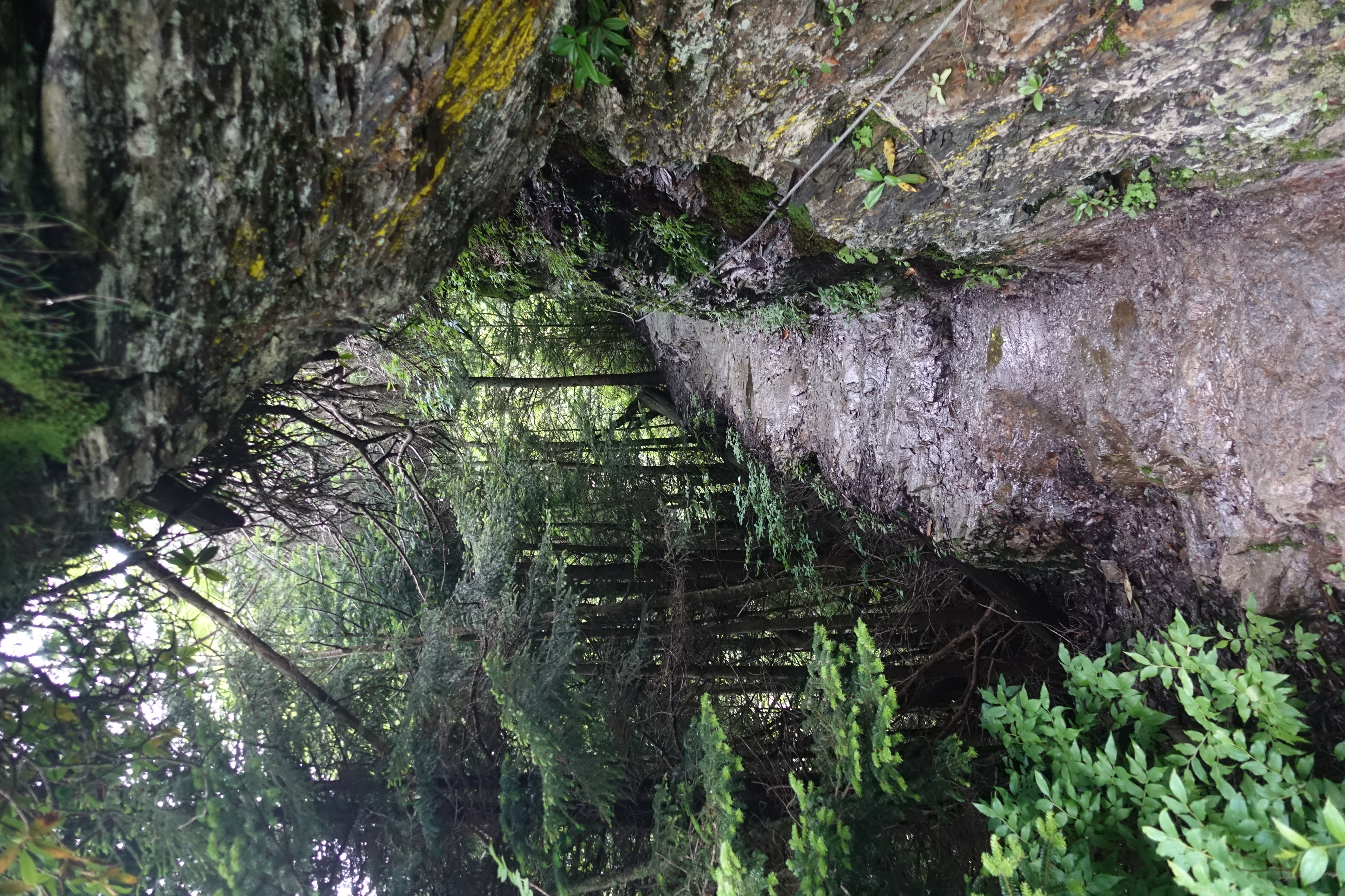
The trail is narrow, slick rock. Evidently enough people have ate it here that the park service needed to add cable hand holds in several places.
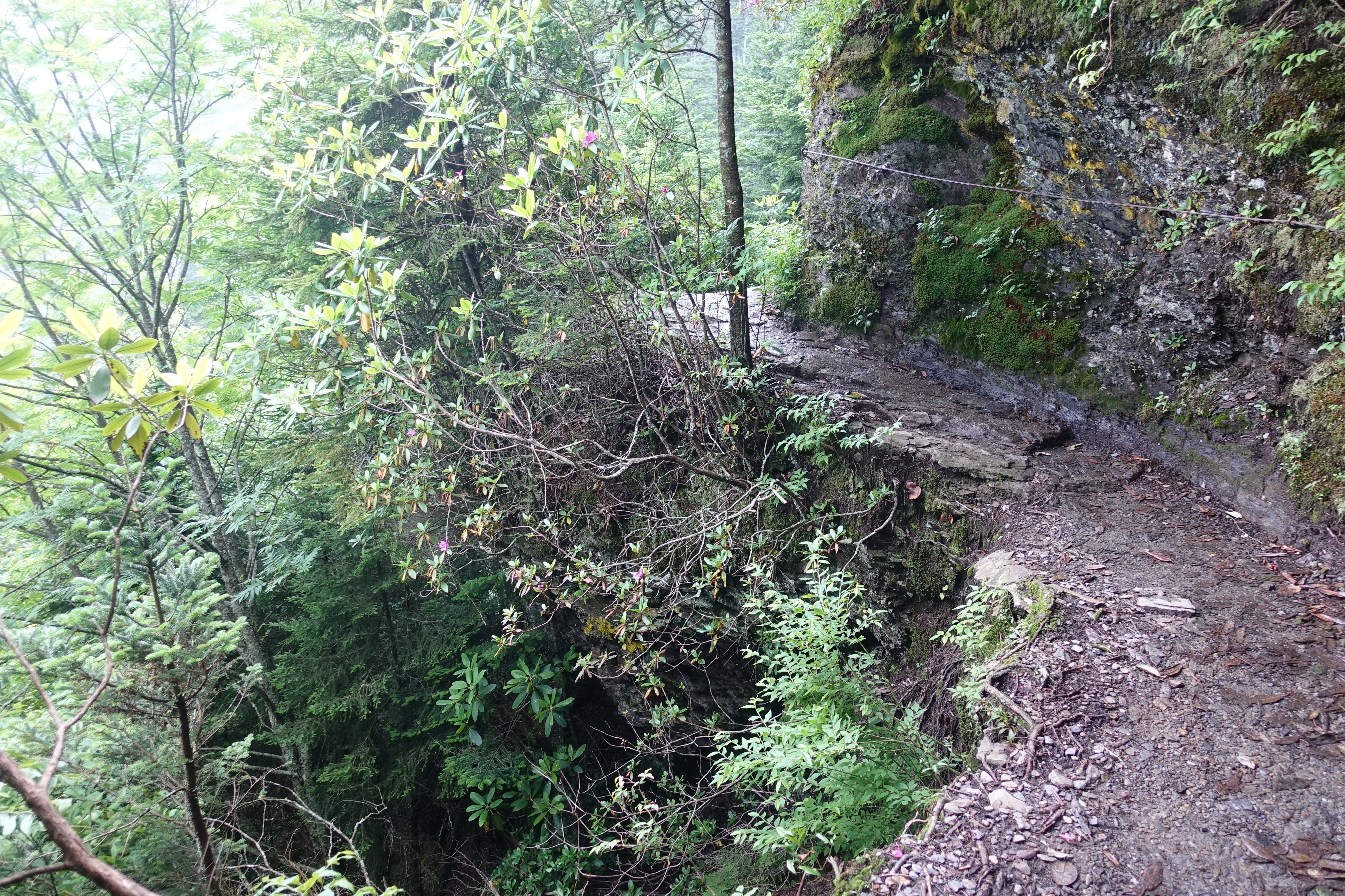
There's some serious dropoff in a few spots. Don't want to slip here.
Deep rumbling thunder started, and I hoped it wasn't going to start pouring rain. I was only a couple miles from the summit though, so might as well keep going.
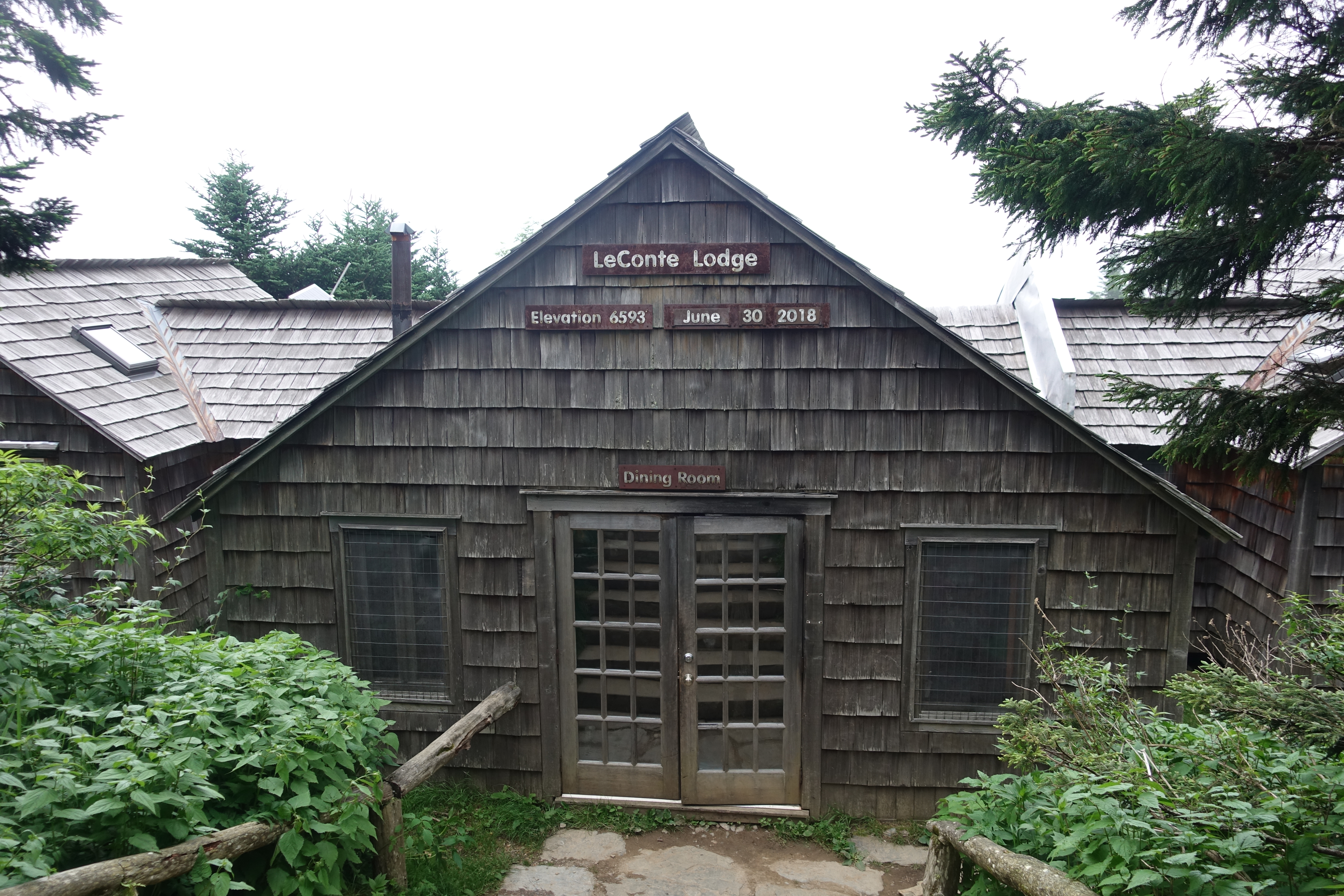
Finally made it to the top. LeConte Lodge. You can actually make reservations here, which naturally sell out far in advance.

I'm usually not a fan of anything civilized on top of a mountain. But at least there's no road or tram, you actually have to hike to this lodging. Pretty cool.

The elevation listed on the lodge sign was the summit elevation, not the actual elevation of the lodge. So I decided to continue on for a ways until I hit the…