Stage I- Cactus
4/12/11 Cactus To Clouds is really two treks in one. This is the first half (desert/sand/cactus) of my first sucessful C2C summit.
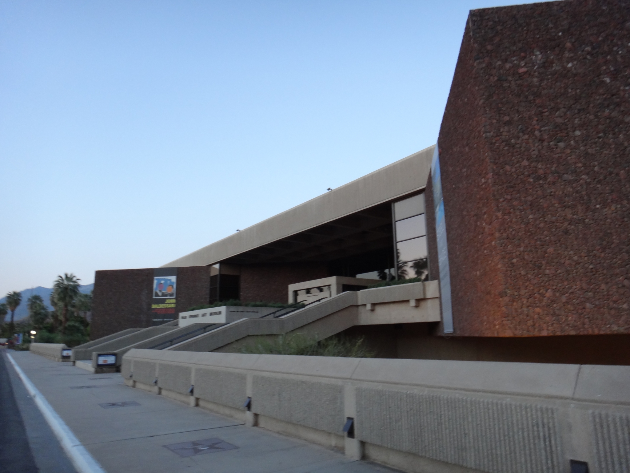 1 The Desert Art Museum at about 6:15am as I hit the trail. I'm working on 4 hours of sleep and a 2 hour drive. |
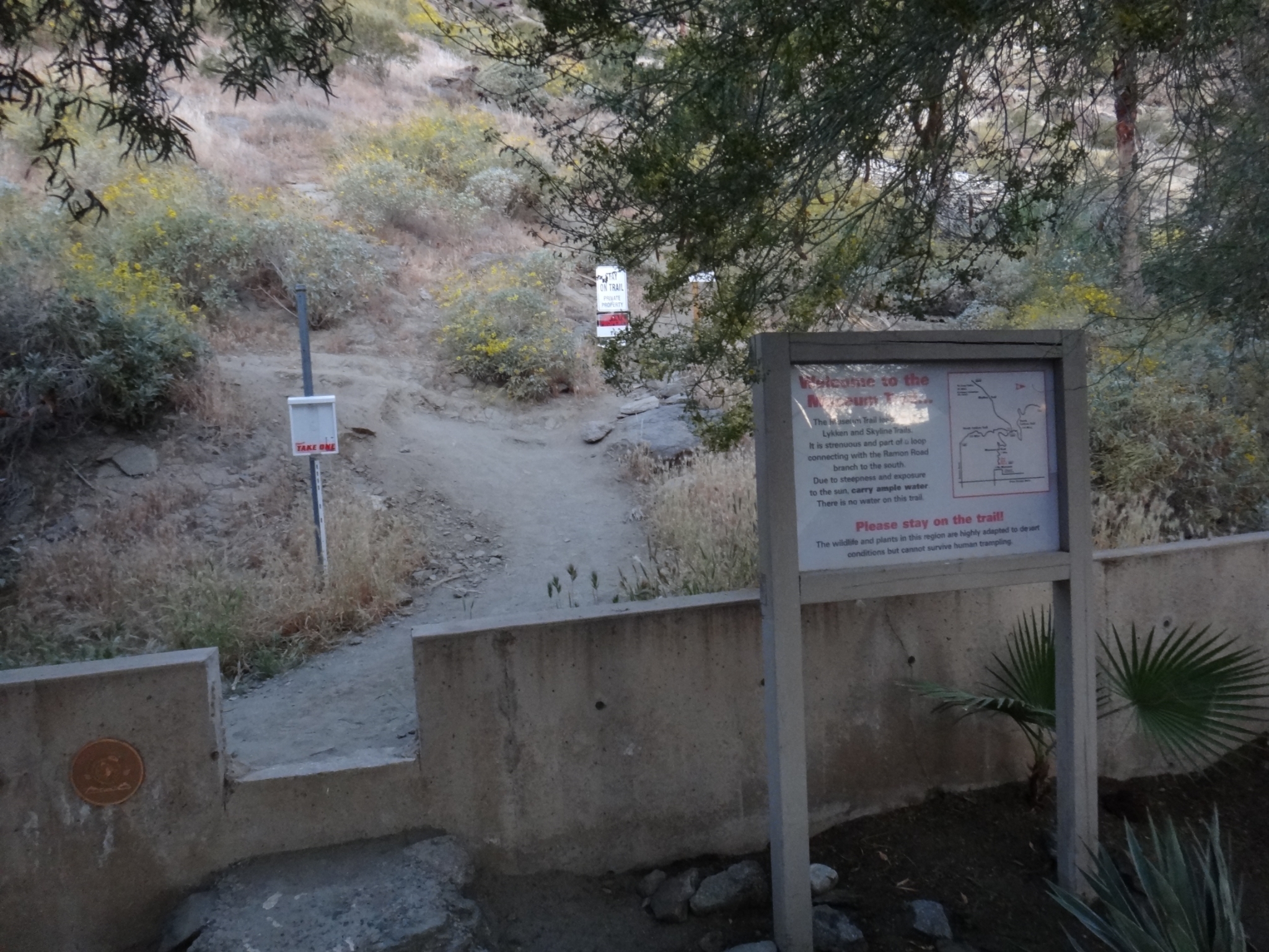 2 Start of the Museum Loop trail, which connects with Lykken, then Skyline to form the Cactus to Clouds route to Long Valley. |
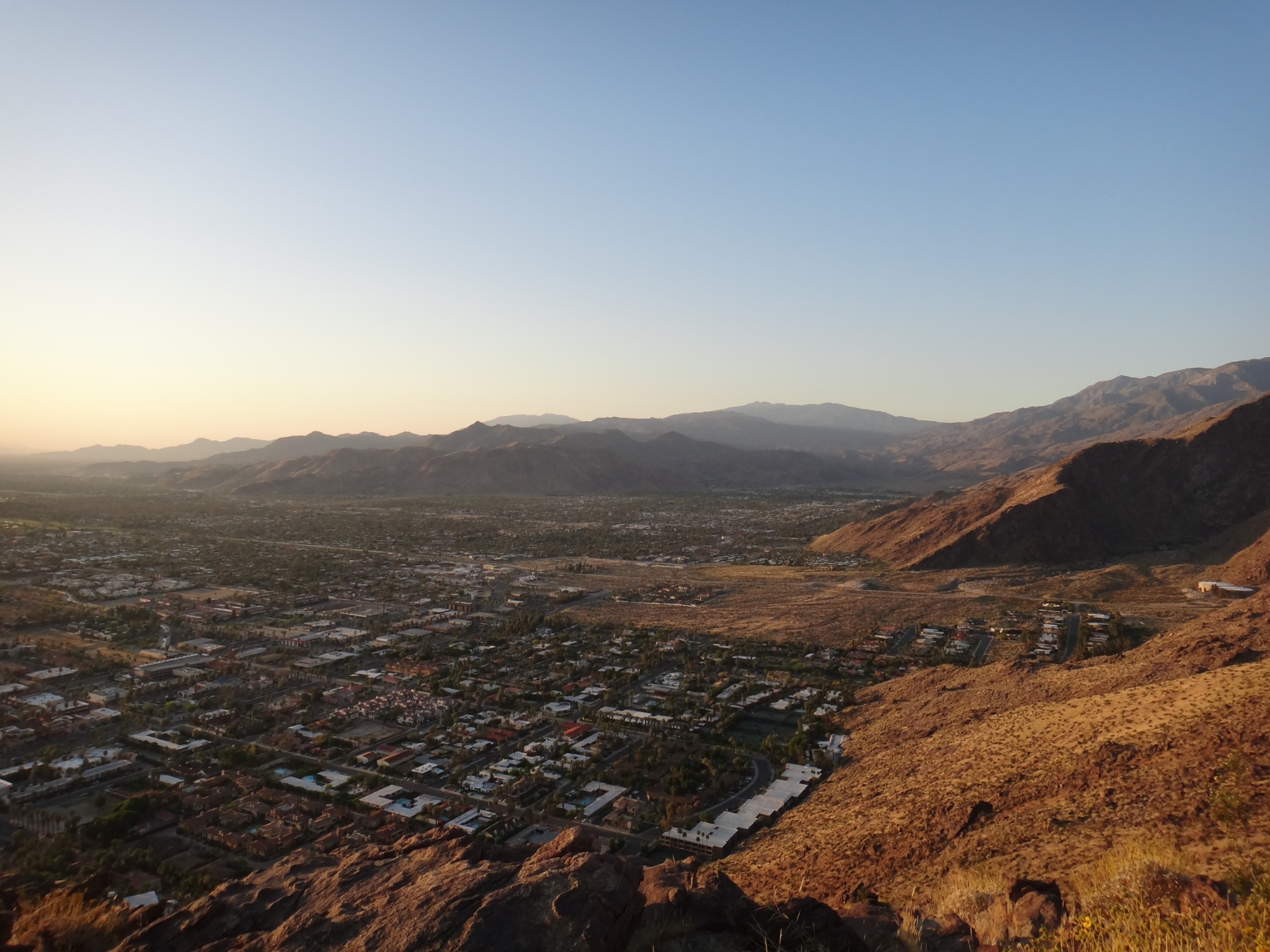
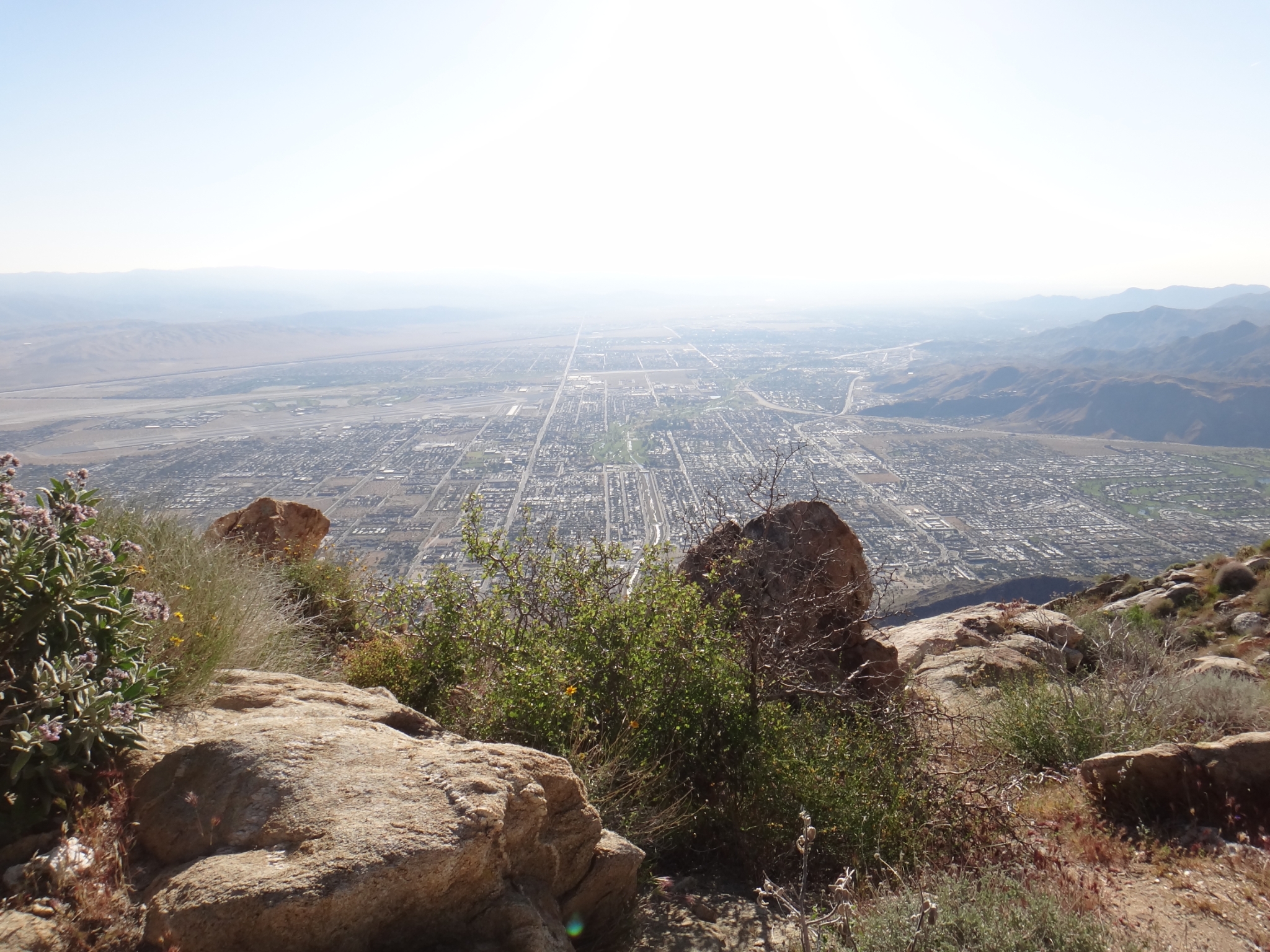
3 A panaromic look at the desert floor. I'm trying out a new camera, so there's a lot of repeat pictures that I've also taken on past trips. View Full Size |
 4 A little further up the trail. It's a gorgeous morning. |
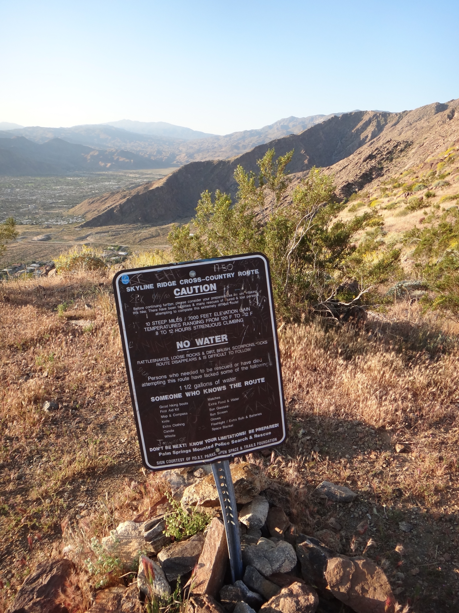
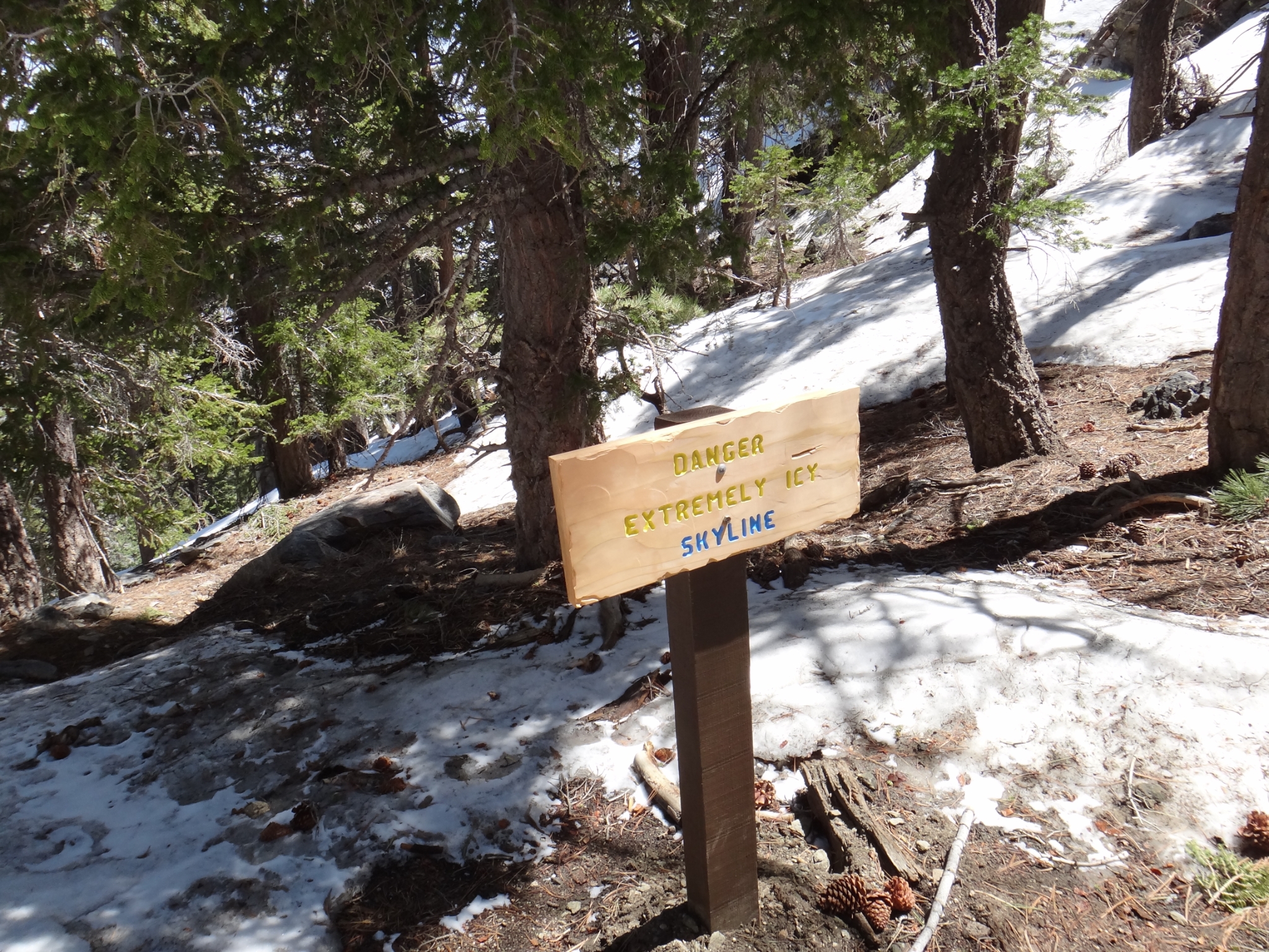
 5 The first foreboding trail sign. |
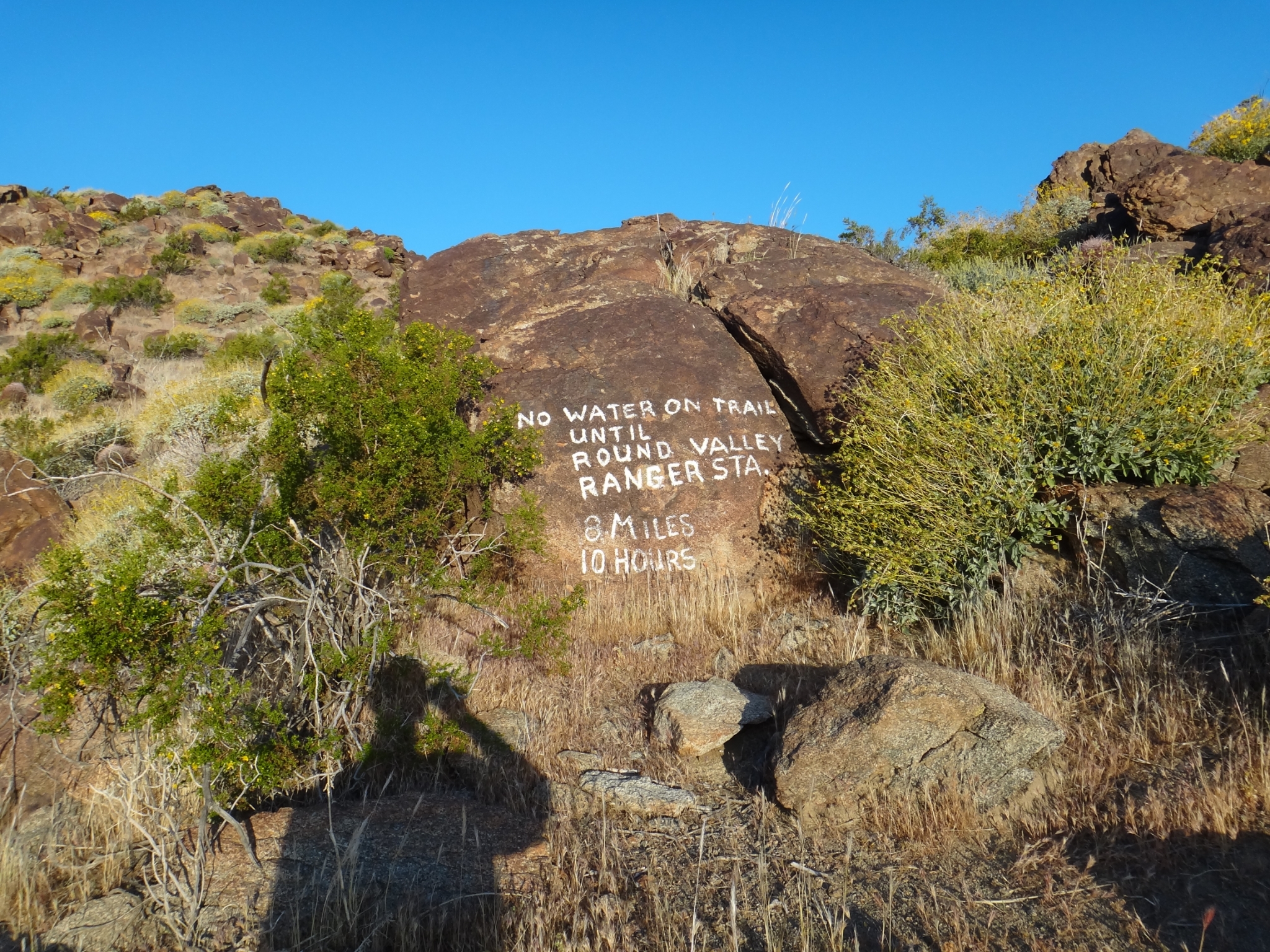 6 The second rock sign. |
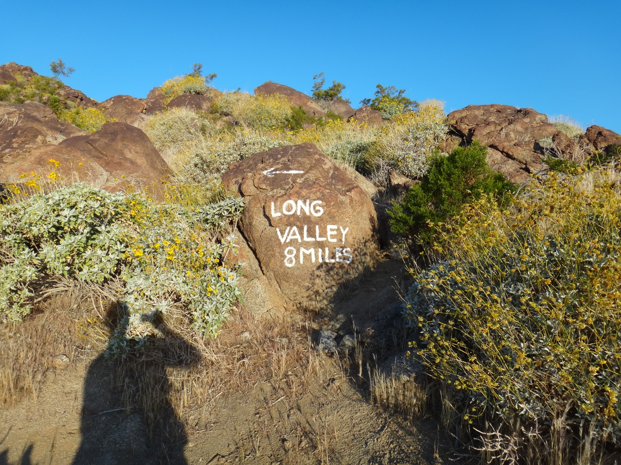
 7 My all-time favorite trail sign. |
 8 I've probably taken a picture of this same cactus on every trip here, but I still think it's cool. |
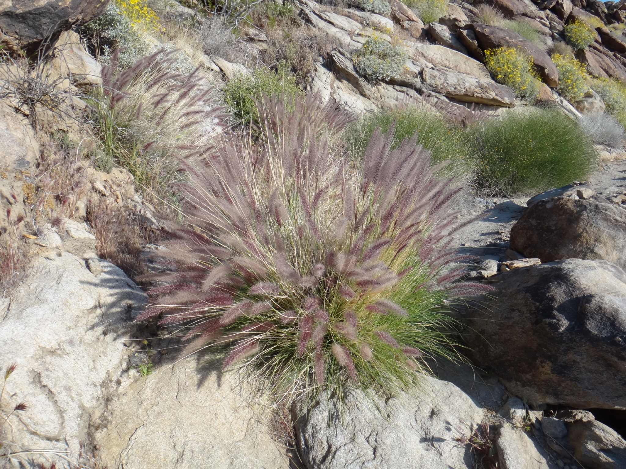 9 The Spring wildflowers are just starting to bloom. |
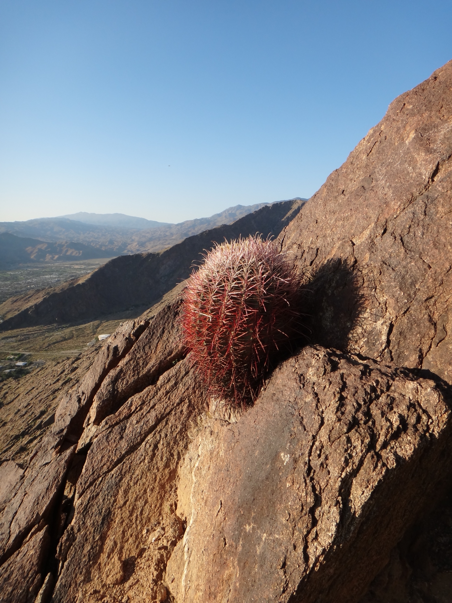
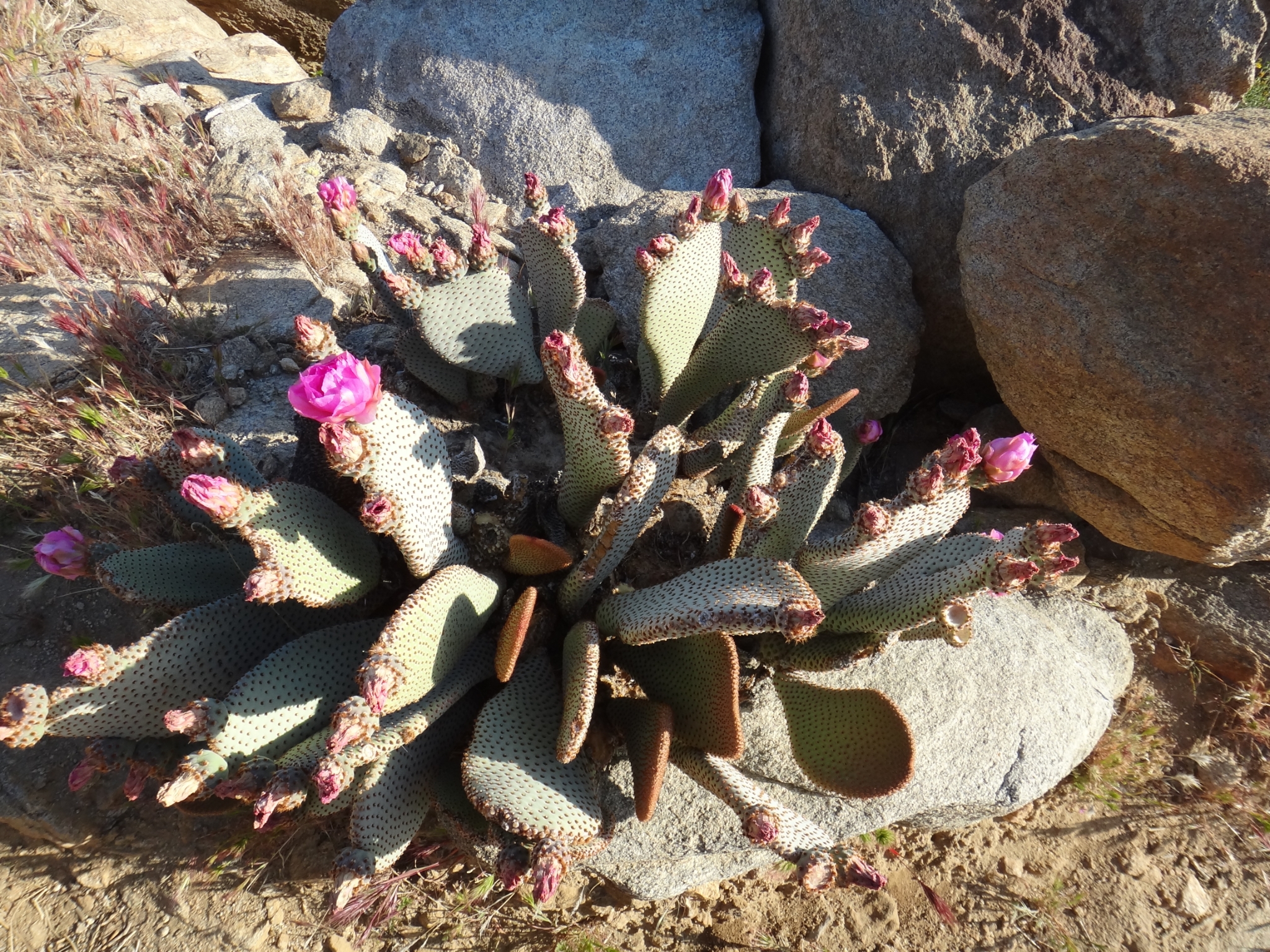
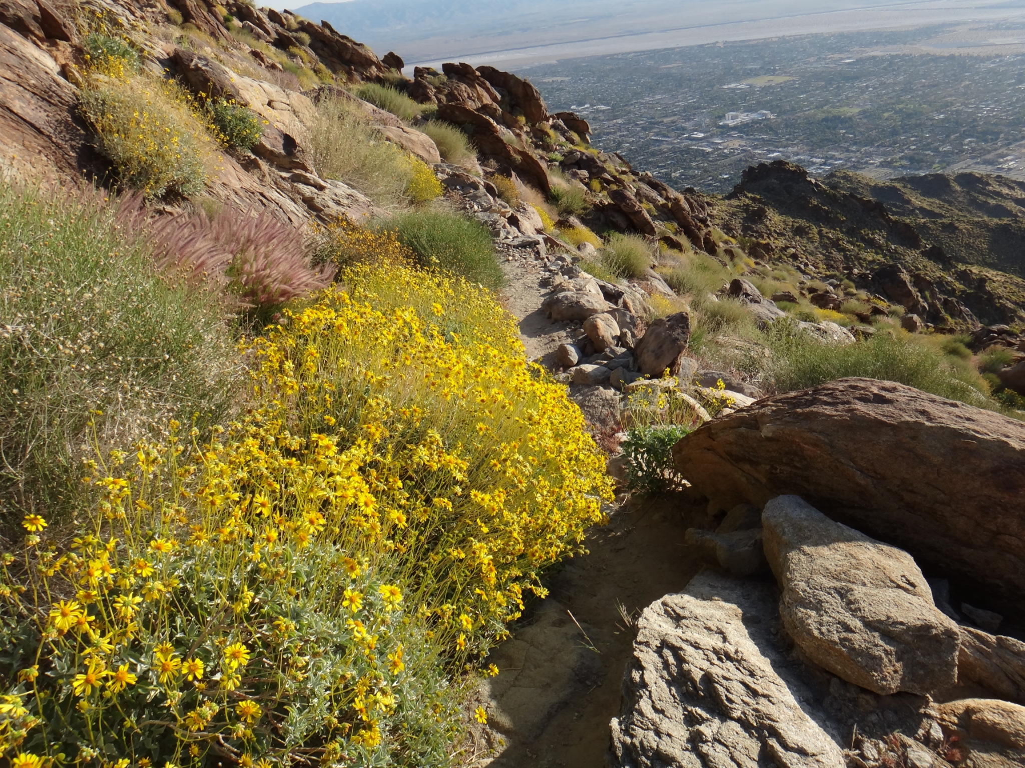 10 The wildflowers are bright against the rocks. |
 11 Flowering cacti! |
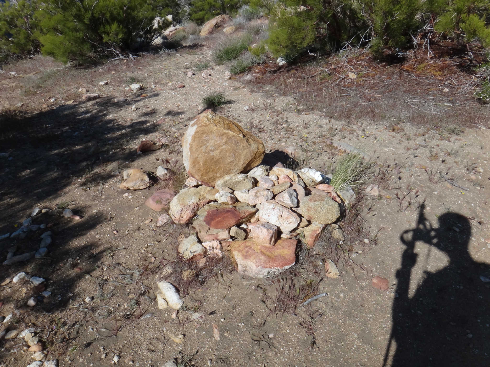
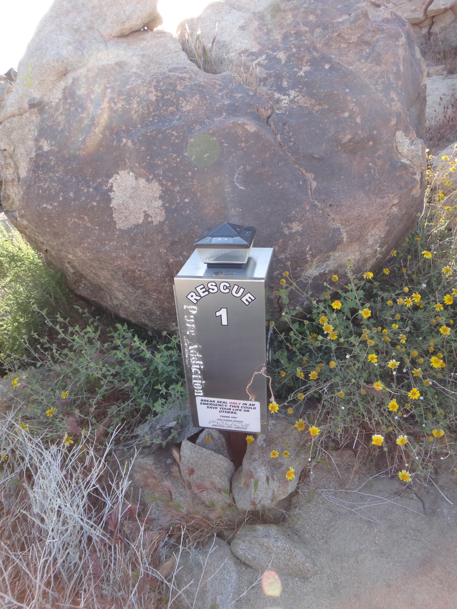 12 The first rescue callbox. It's nice having recognizable milestones along the route to measure progress. |
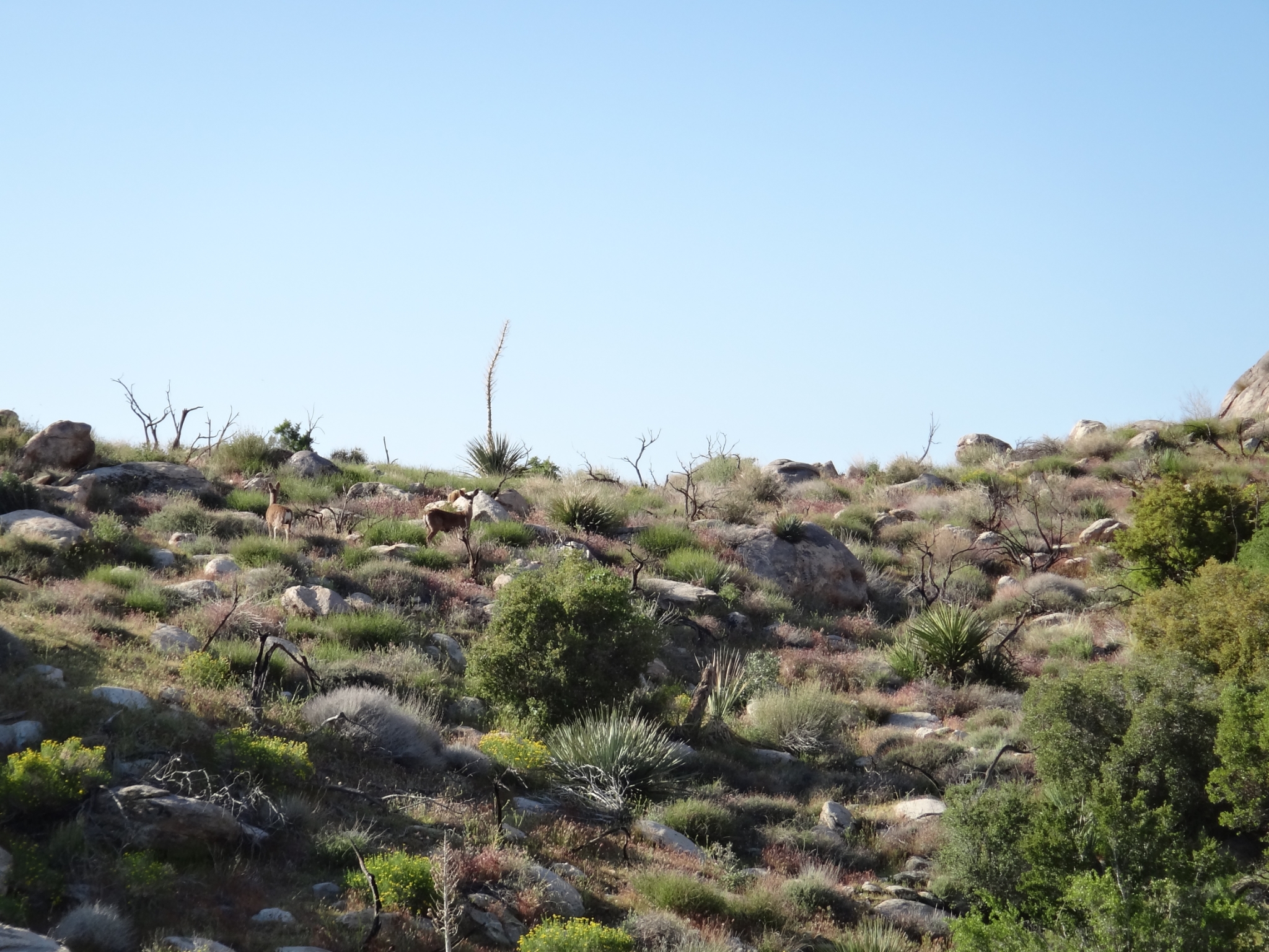 13 Look carefully. Deer! Seems odd to see deer in the desert. They must wander down from a higher elevation for breakfast. |
 14 A couple thousand feet up from the desert floor. |
 15 The first glimpse of the ridge at Long Valley in the distance. It's hard to believe that it's still a full vertical mile above this point! |
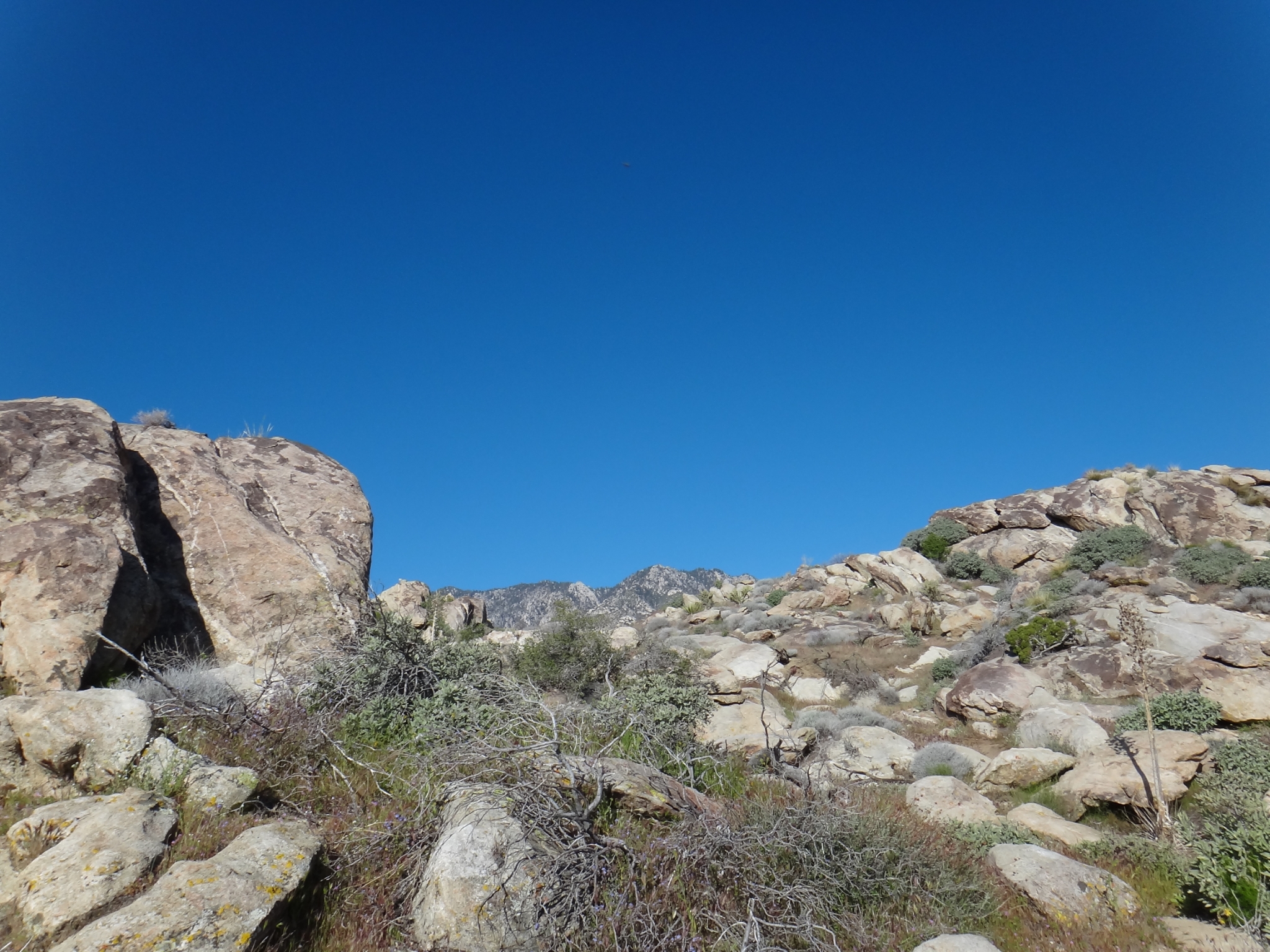
 16 The terrain starts to get more rugged at around 3000'. |
 17 The chaparral and taller vegetation starts at exactly 4000'. It's funny how you measure distance on this trail not in miles but in elevation. |
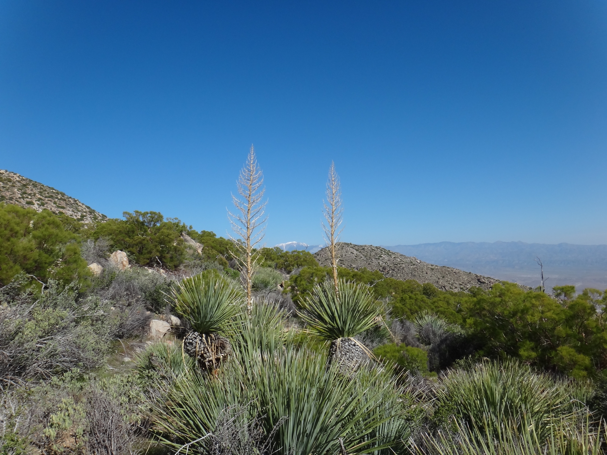
 18 One of the trail signs. I took a small trail offshoot and managed to miss this marker, which ended-up costing me a 10-15min detour, which I wasn't too happy about. Even after hiking this trail a few times, it's easy to briefly lose your way. |
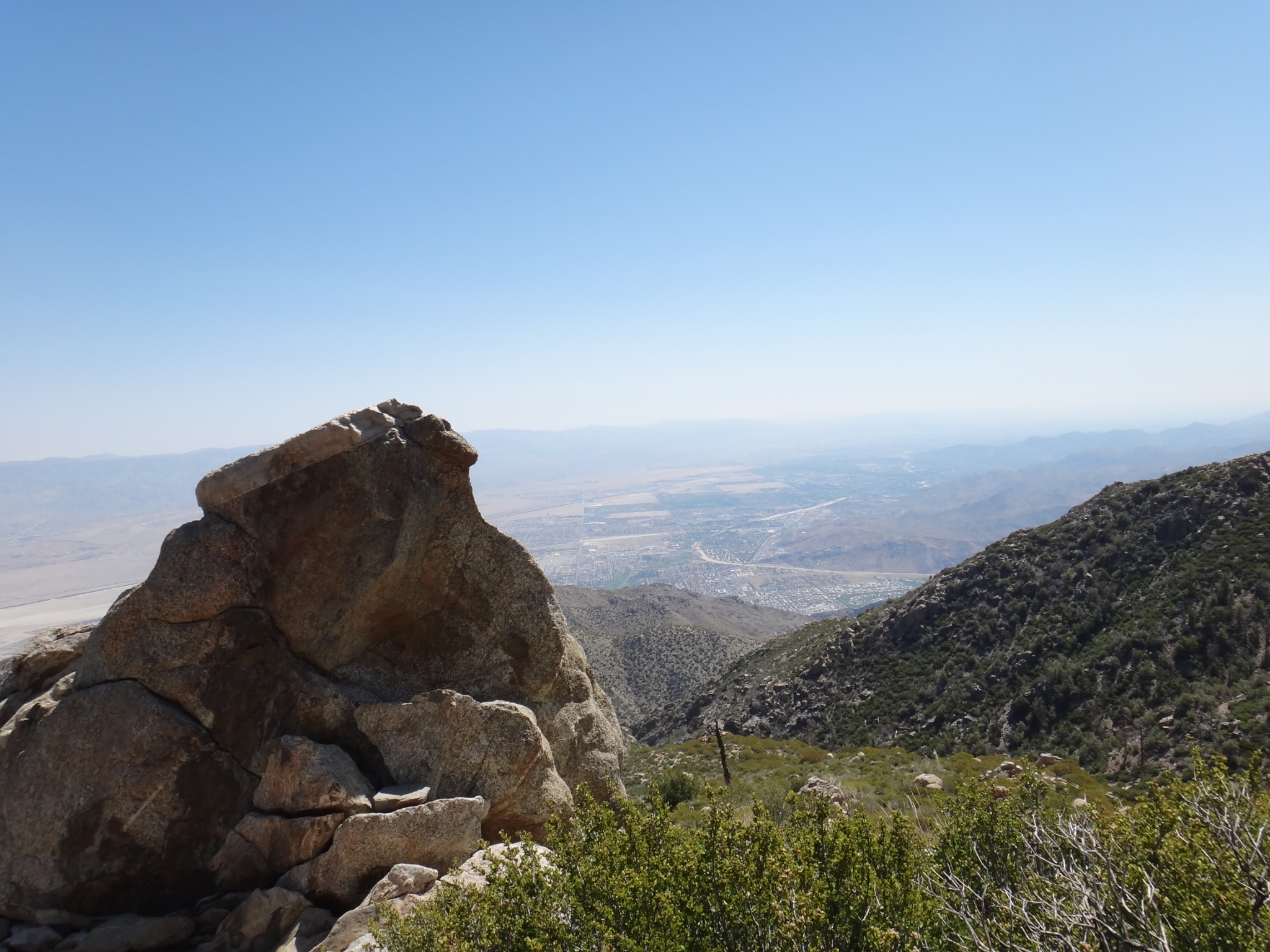
 19 Mt. San Gorgonio framed by Yuccas. I was on top of Gorgonio in the snow almost exactly one month earlier. |
 20 The desert floor from a little over 4000'. View Full Size |
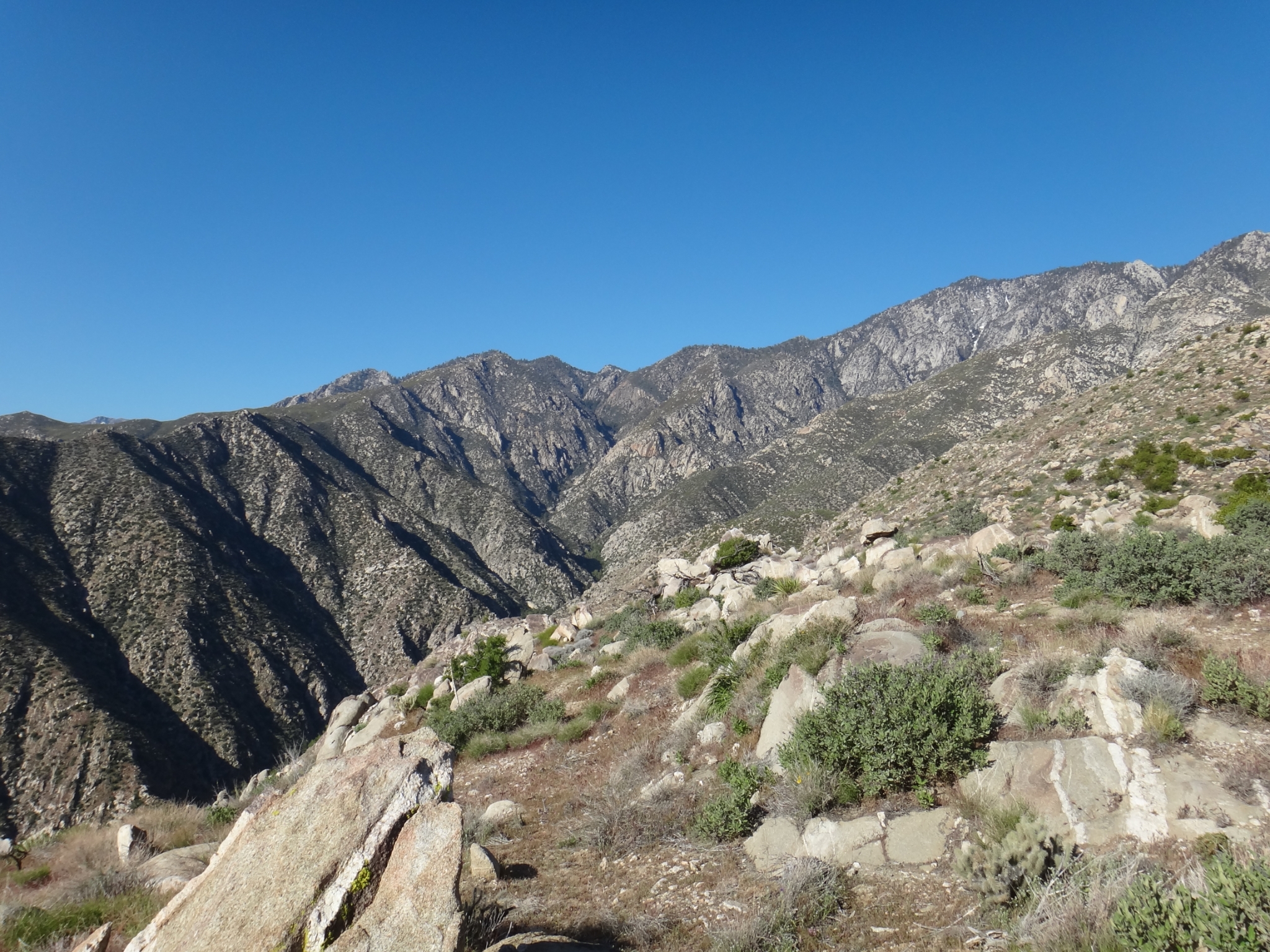
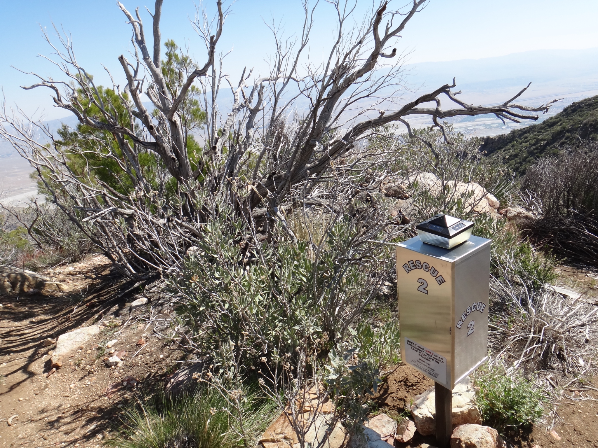 21 The second emergency beacon. |
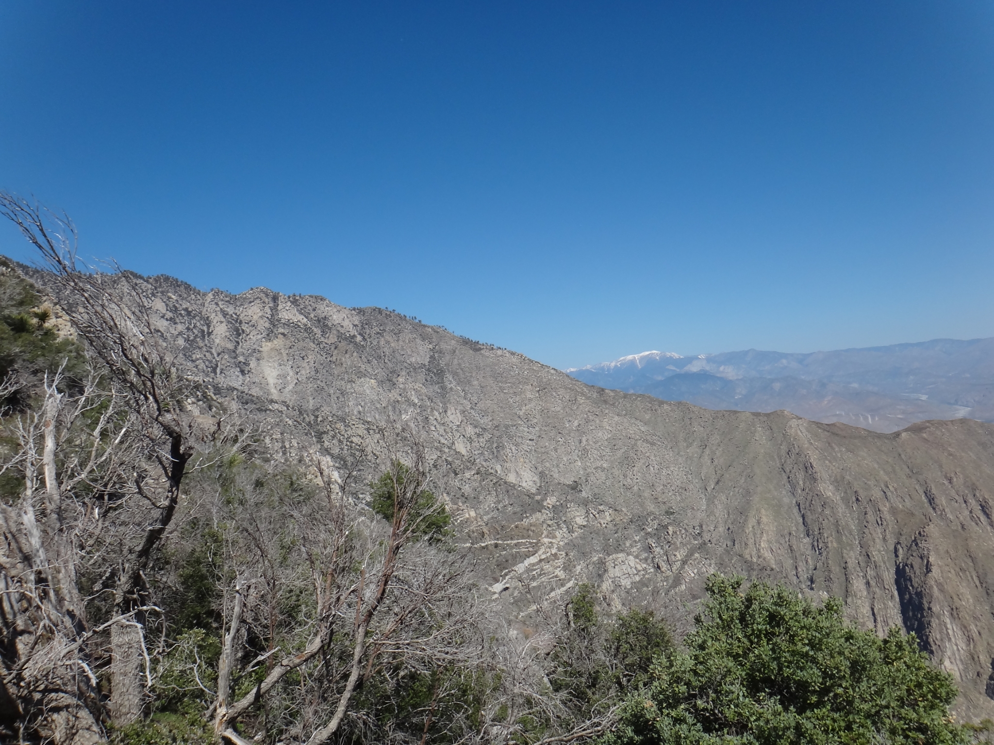 22 First view of the valley that the tram comes up, with San Gorgonio in the distance. |
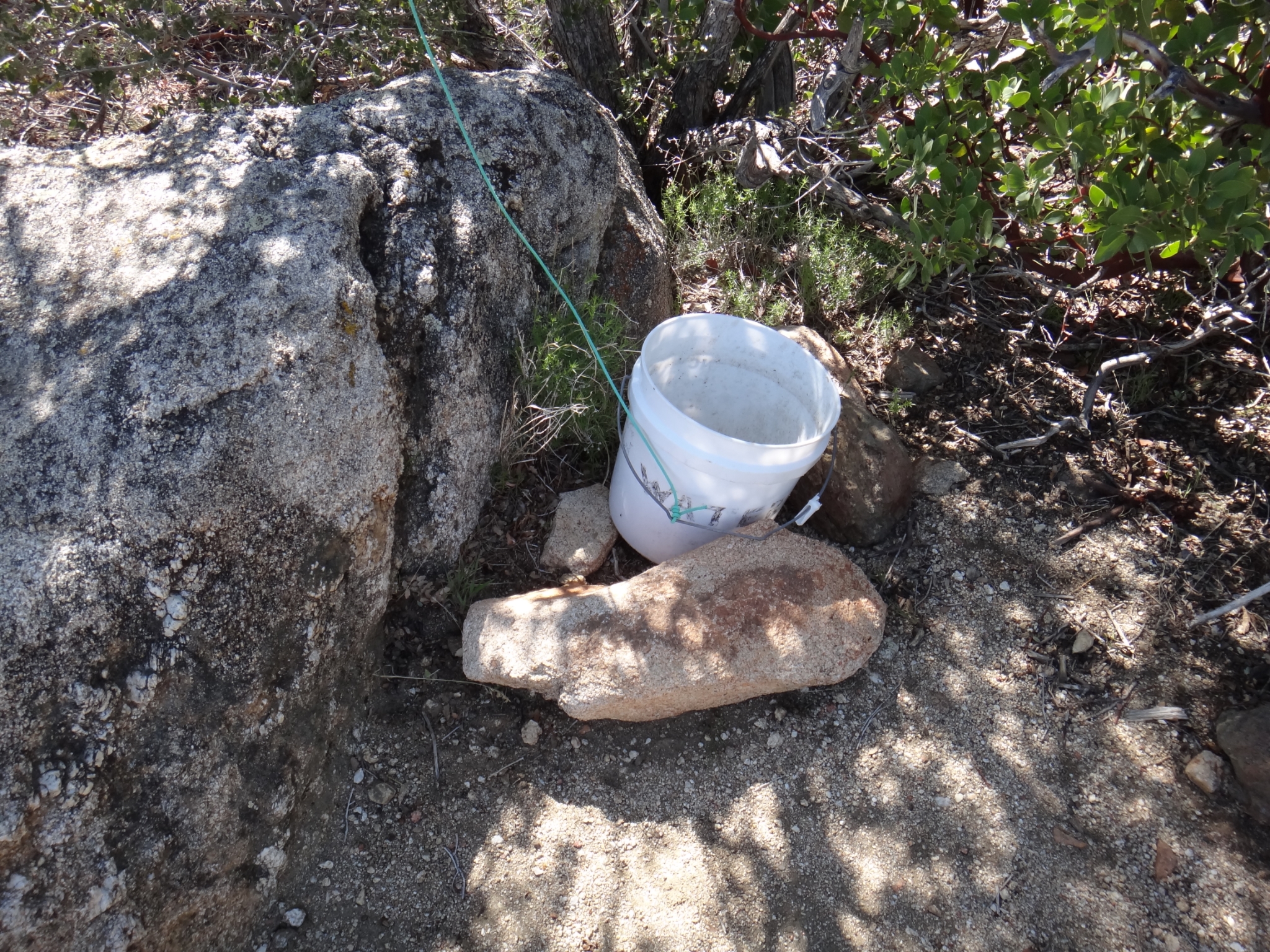 23 The emergency water bucket that noone ever seems to leave water in (including me). |
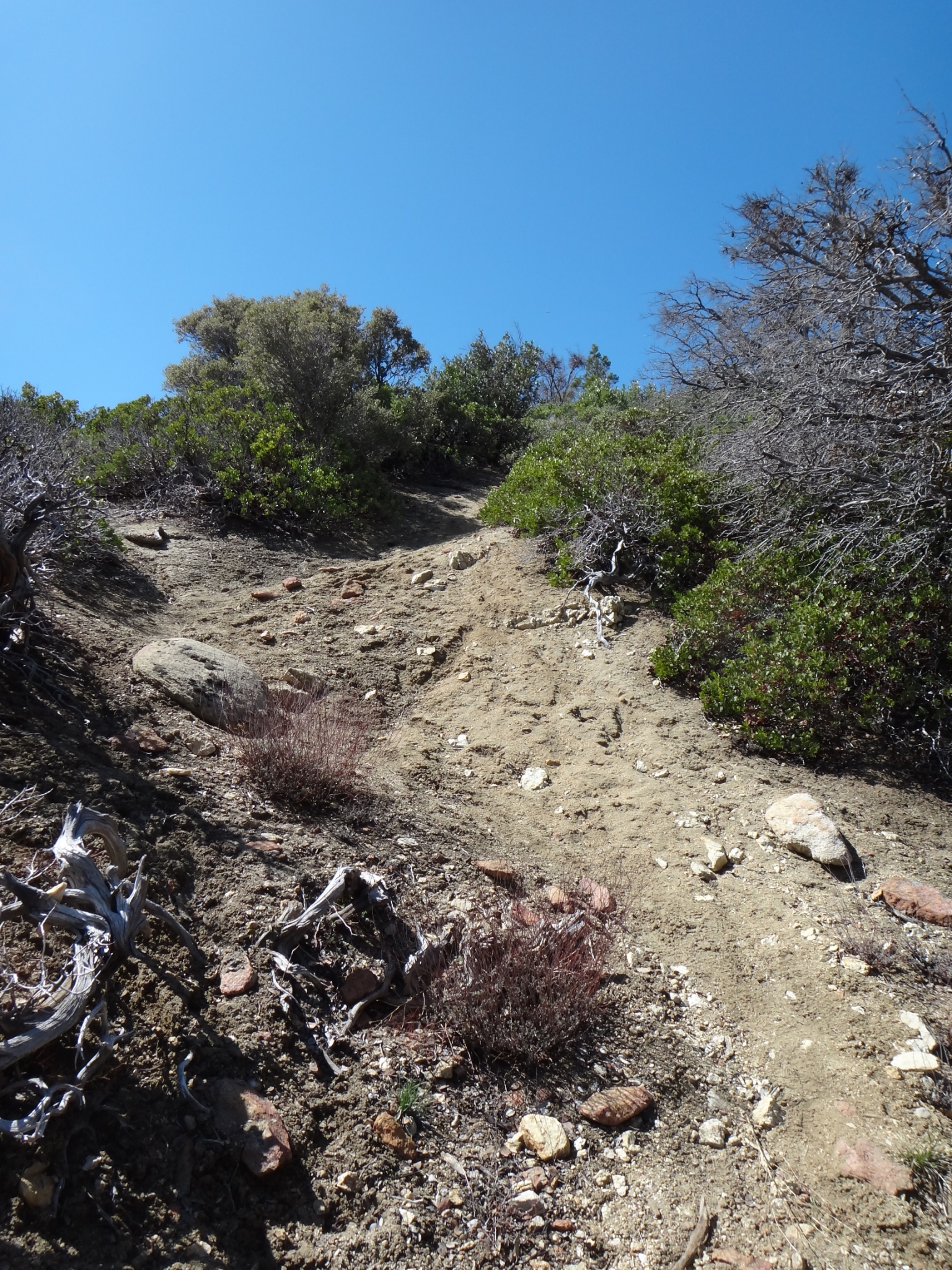 24 This steep section of trail was covered in snow the last couple times I was here. |
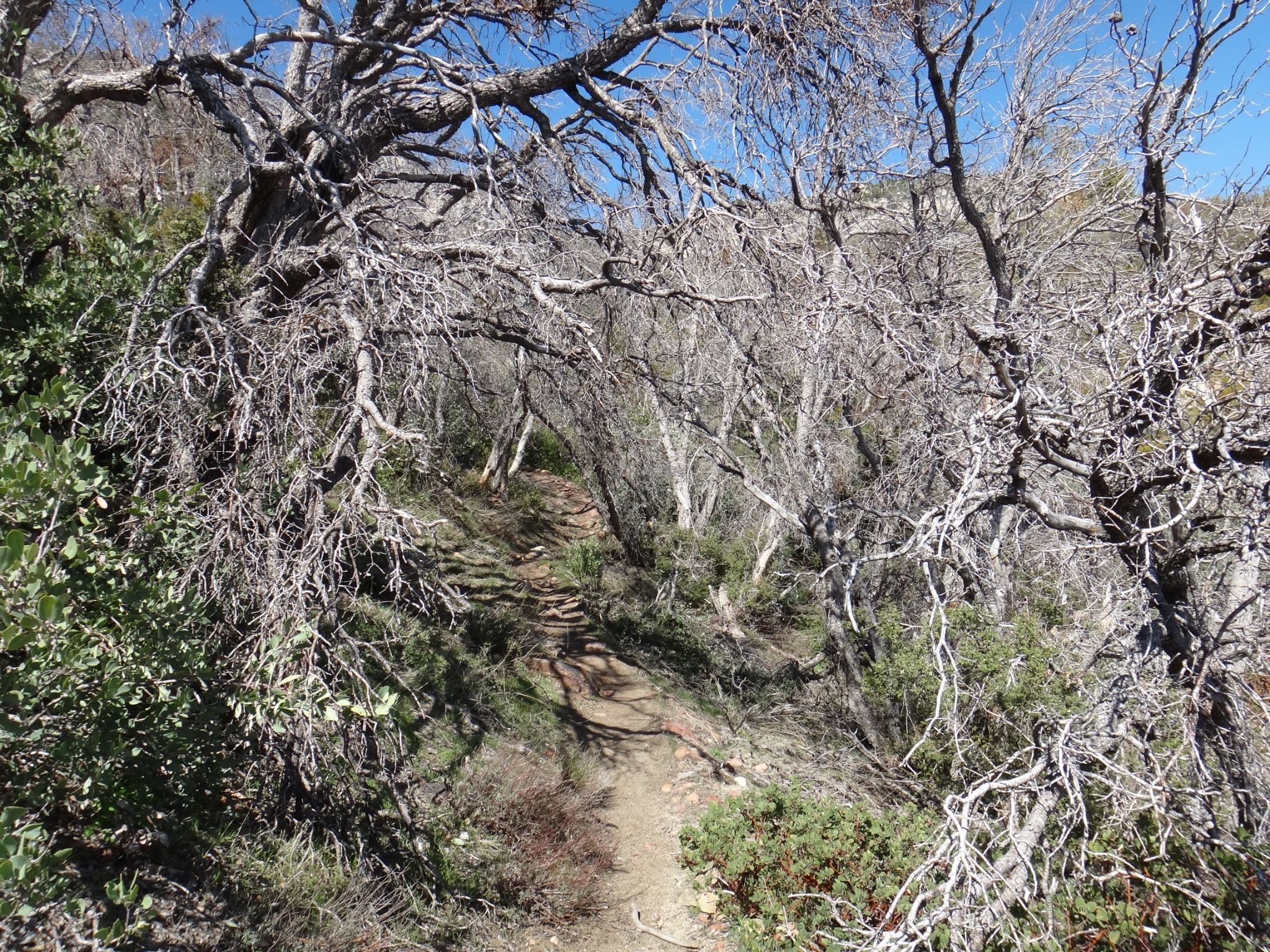 25 The cool tunnel through the chaparral. |
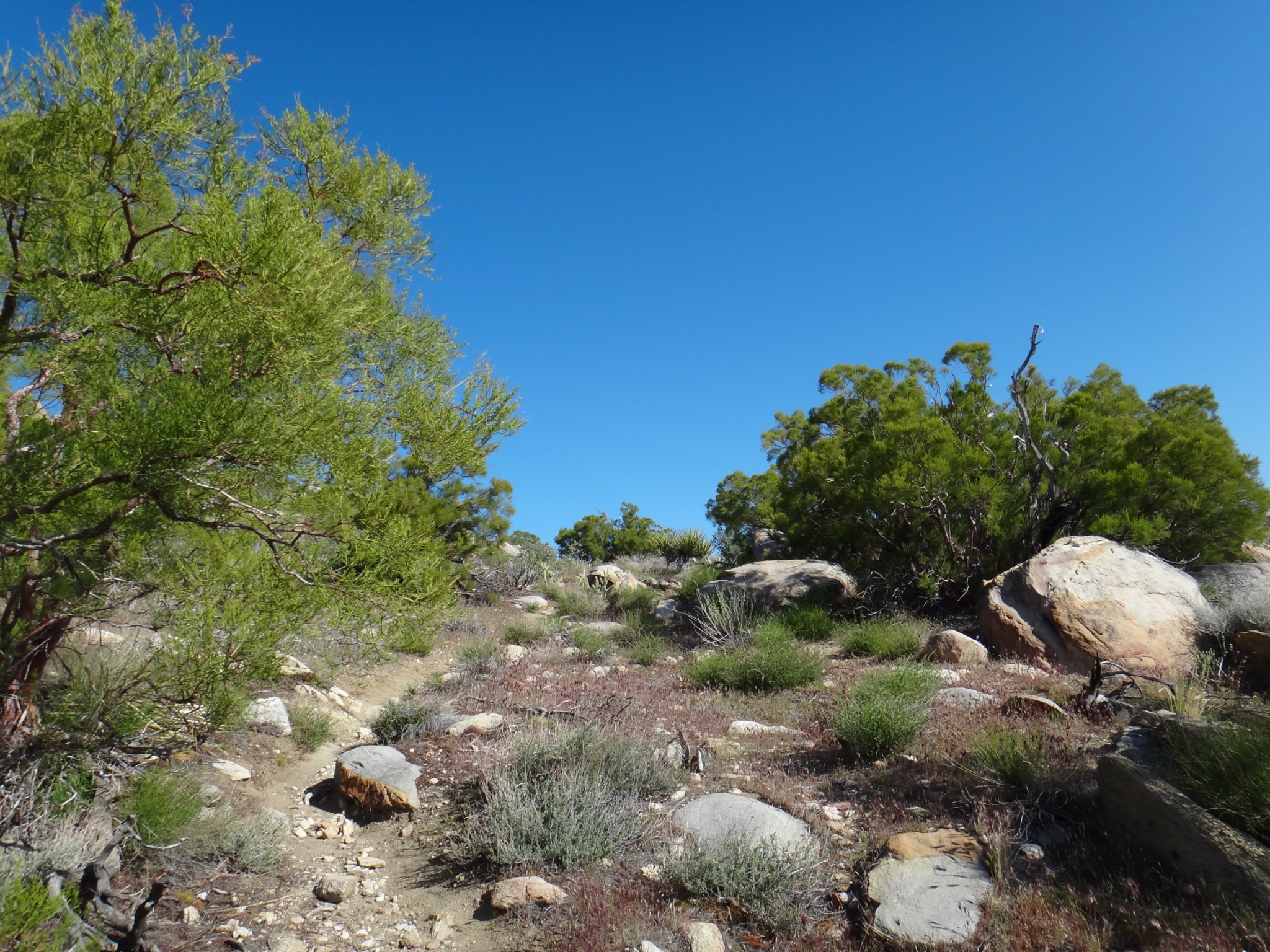
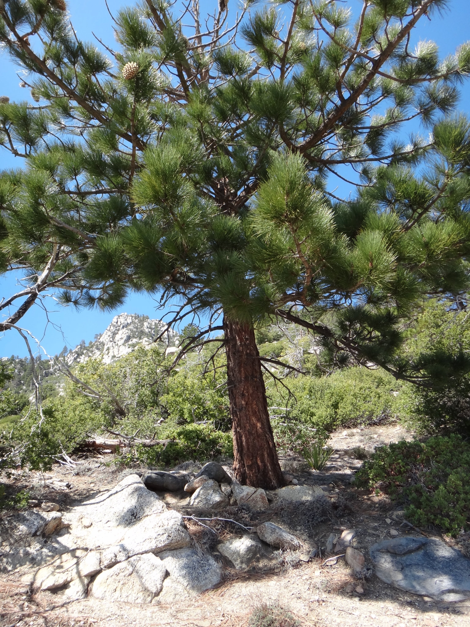
 26 Desert floor from about 5000'. |
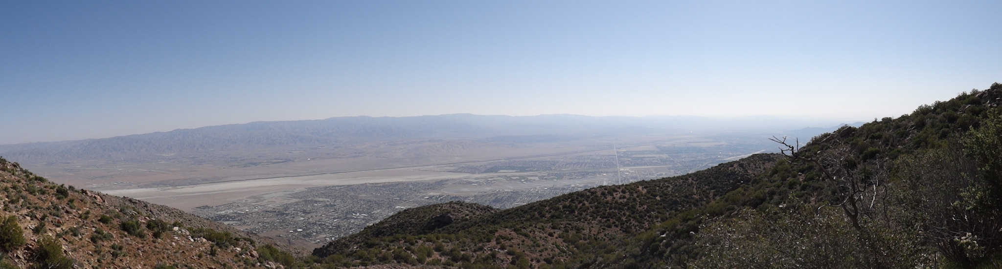
 27 The pine trees start to show up at just below 7000'. The last 1500' of trail to Long Valley is a b*tch. |
28 The desert floor from just above 7000'. View Full Size |
 29 If you look closely, you can see the tram, and the edge of the lodge on the ridge. |
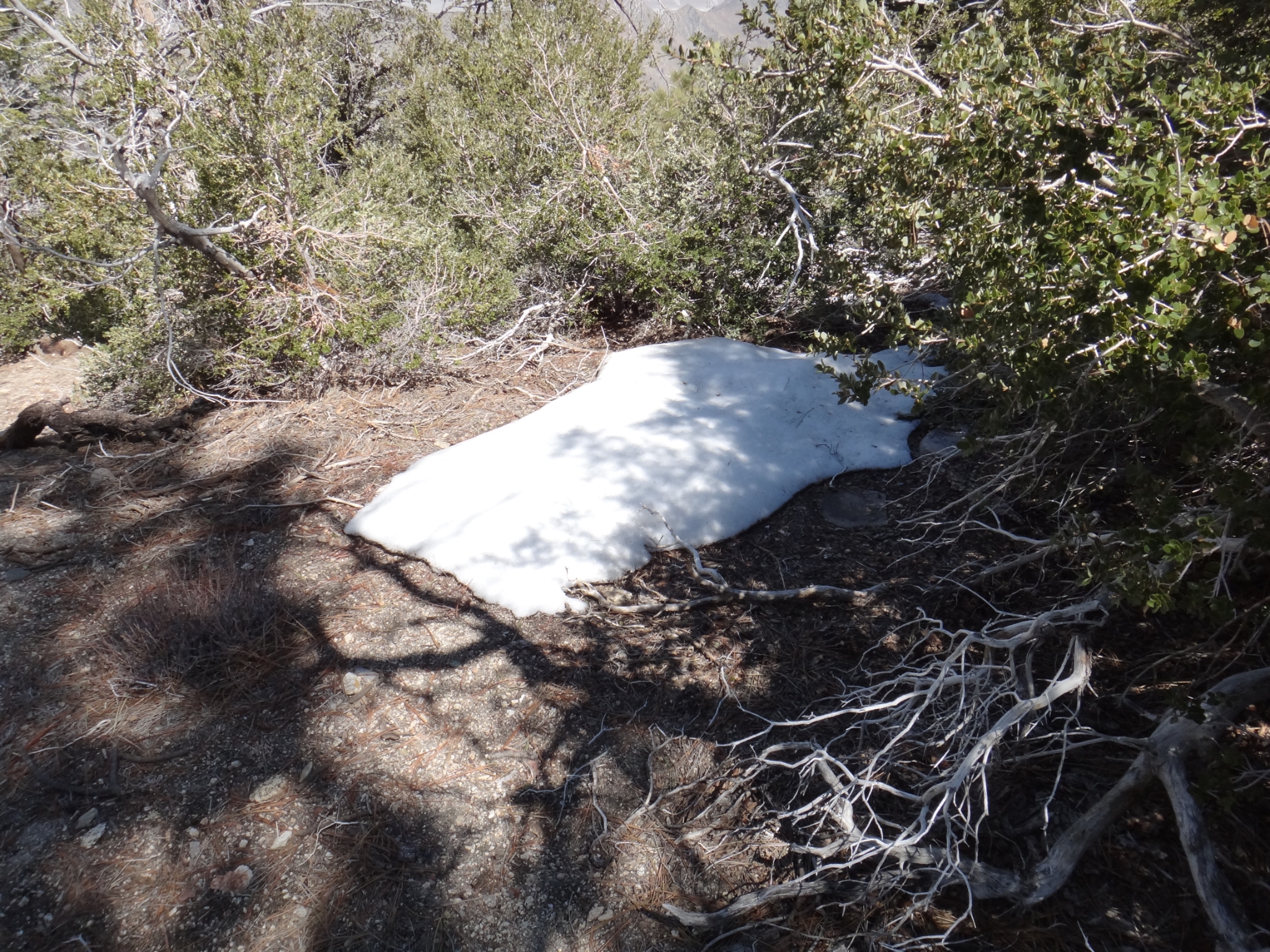 30 The first snow patch at around 7500'. |
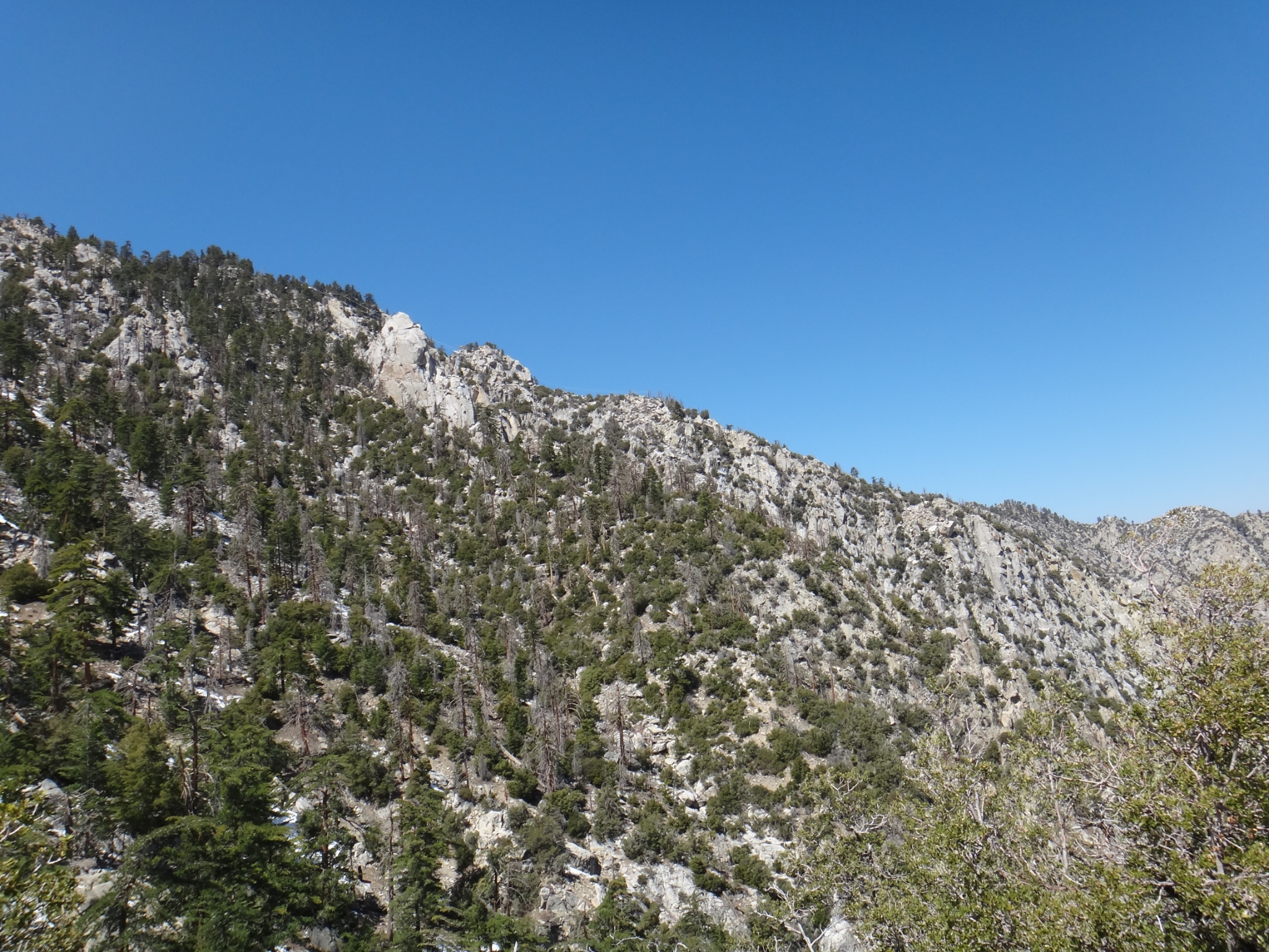
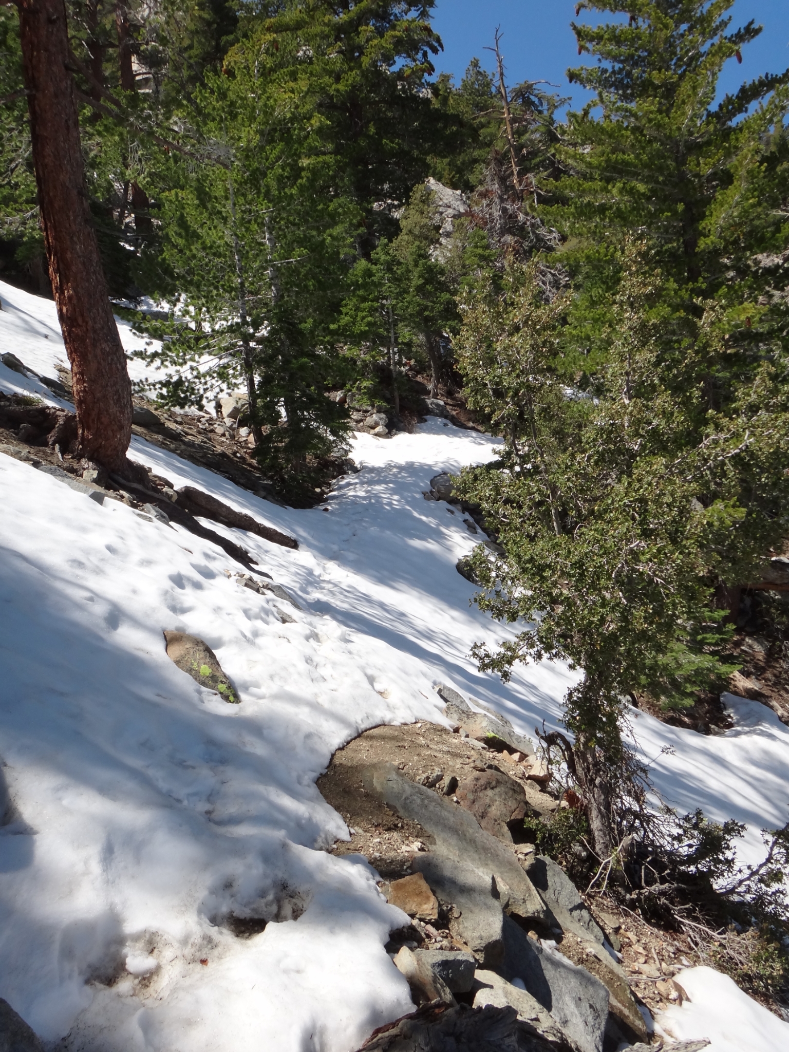 31 This was solid snow (and icy) the last couple times. Though there's much less snow this time, it's still a bit slippery with just trail running shoes. |
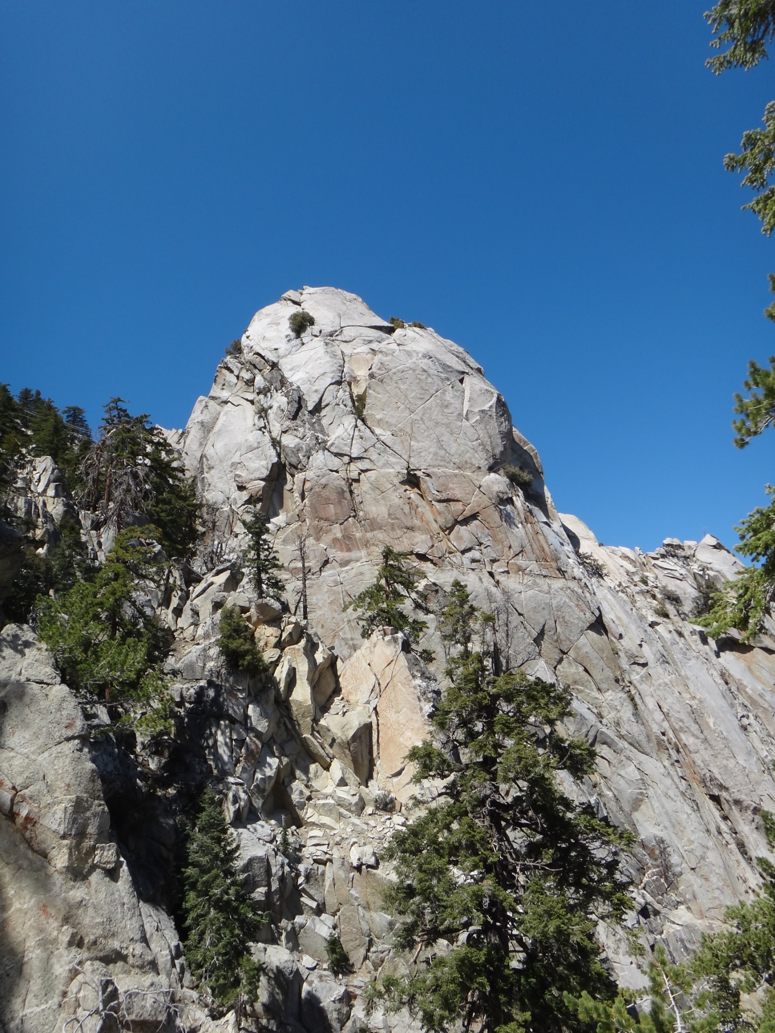 32 Coffman's Crag. |
 33 Made it to Long Valley at 8400'. 8000' gain in under 10 miles! I had been a bit sick for a week prior to this trek and my energy systems were definitely drained. It took me about 30-40 minutes longer to get here than last time (partially because I was taking more pictures). It's now about 12:40pm. This could easily make a nice stopping point for a tough day hike. But I still have 12 more miles round trip to go. In the snow! |