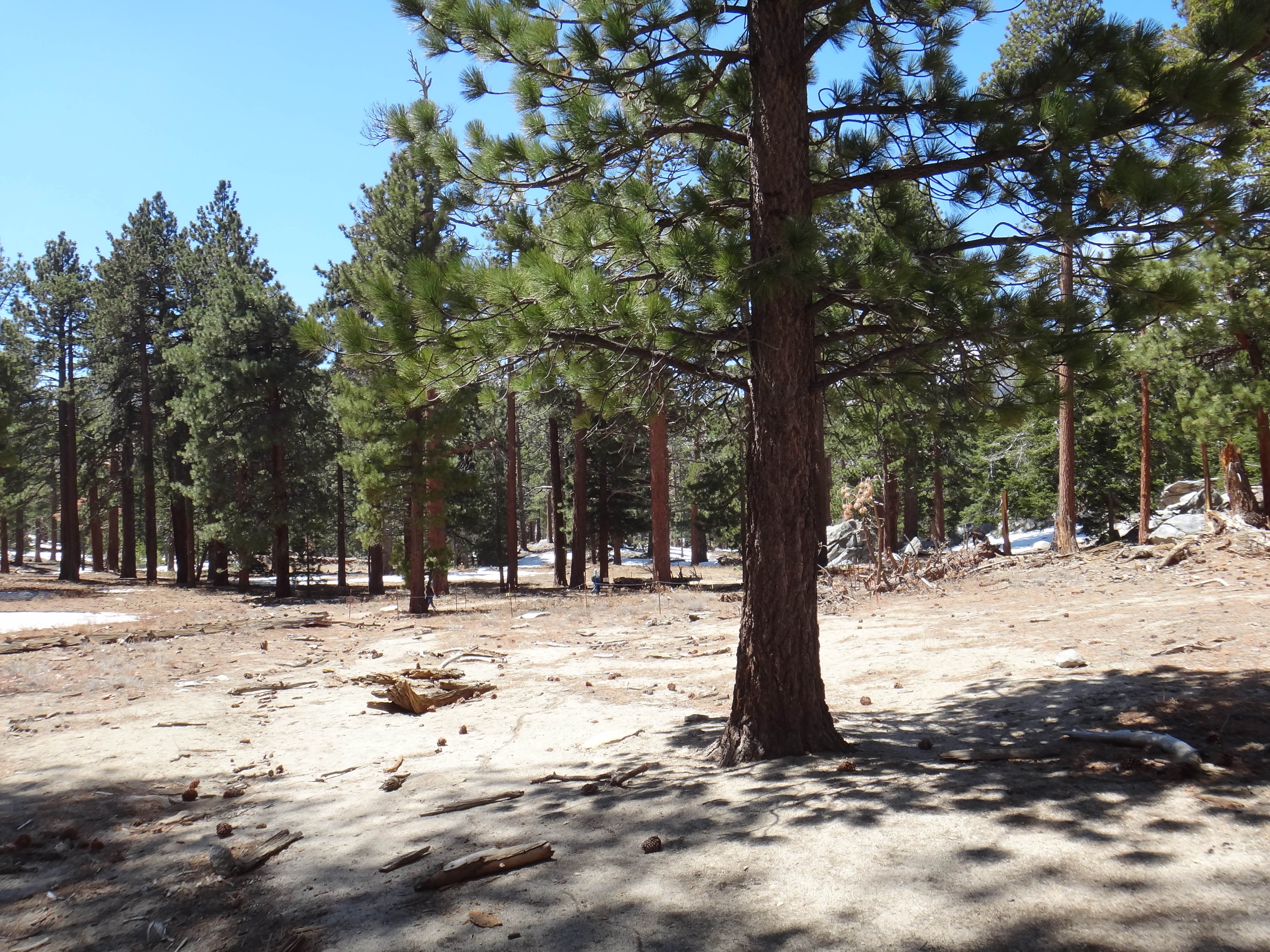
Long Valley at the top of Skyline. This was solid snow the last two times I was here.
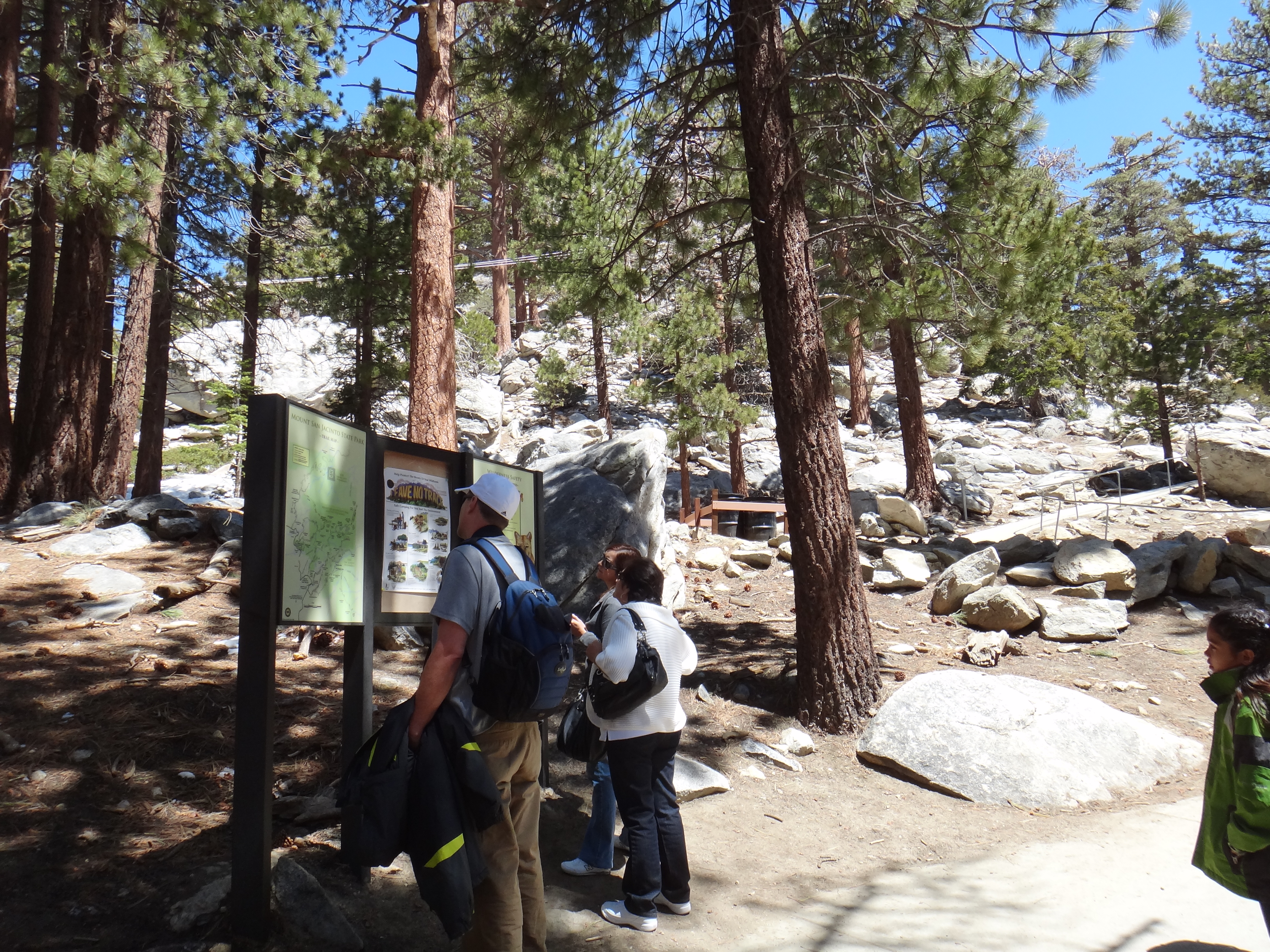
"Gee hunny look there's actually trails here that people hike on! I wonder how you get here without the tram?"
The trail leading out of Long Valley. It's just after 1:00pm. I resist the temptation to hang out in the lodge for a while, and I press on. 5.8 miles and 2400'…
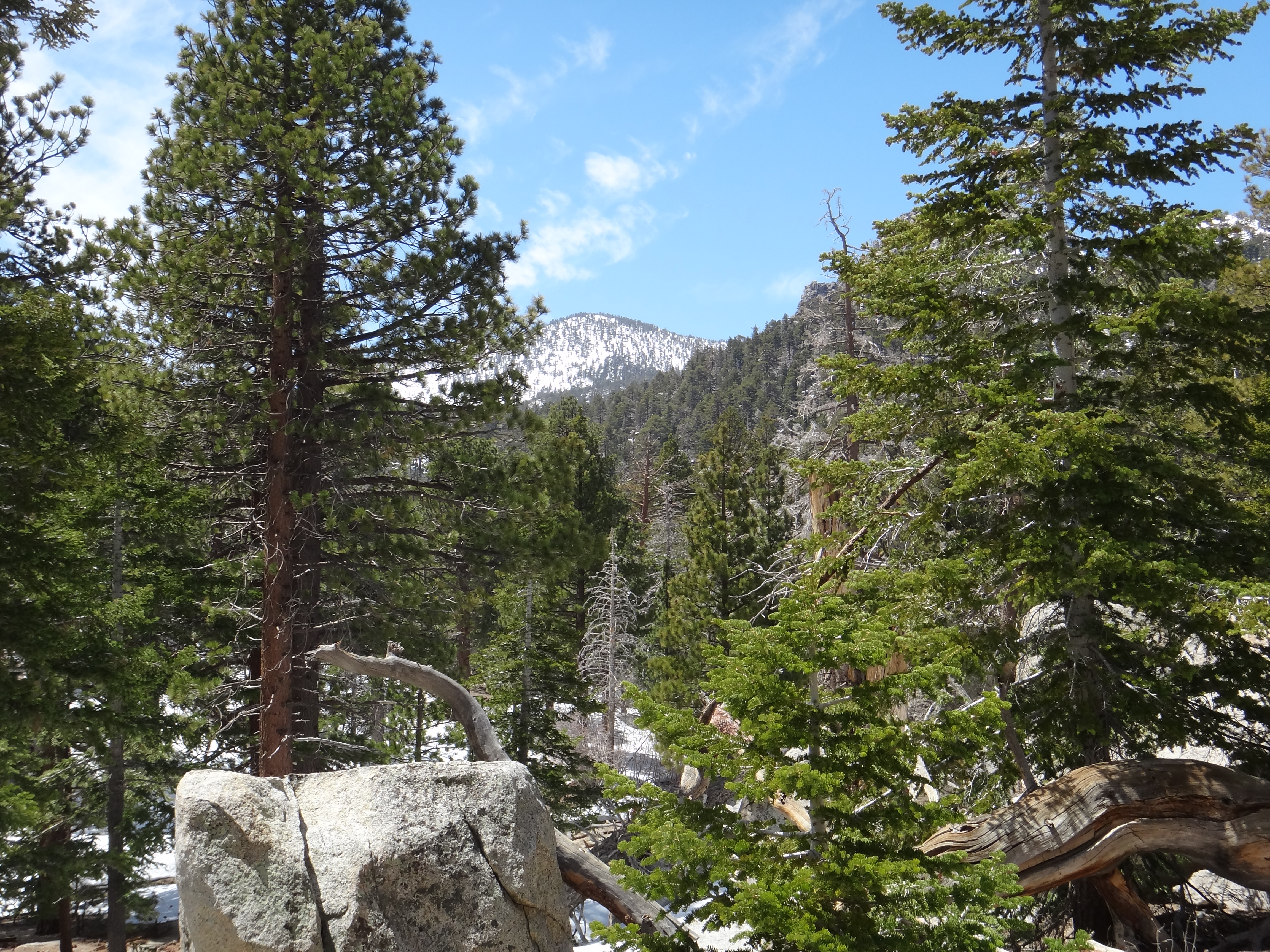
A look at the summit from just outside Long Valley.
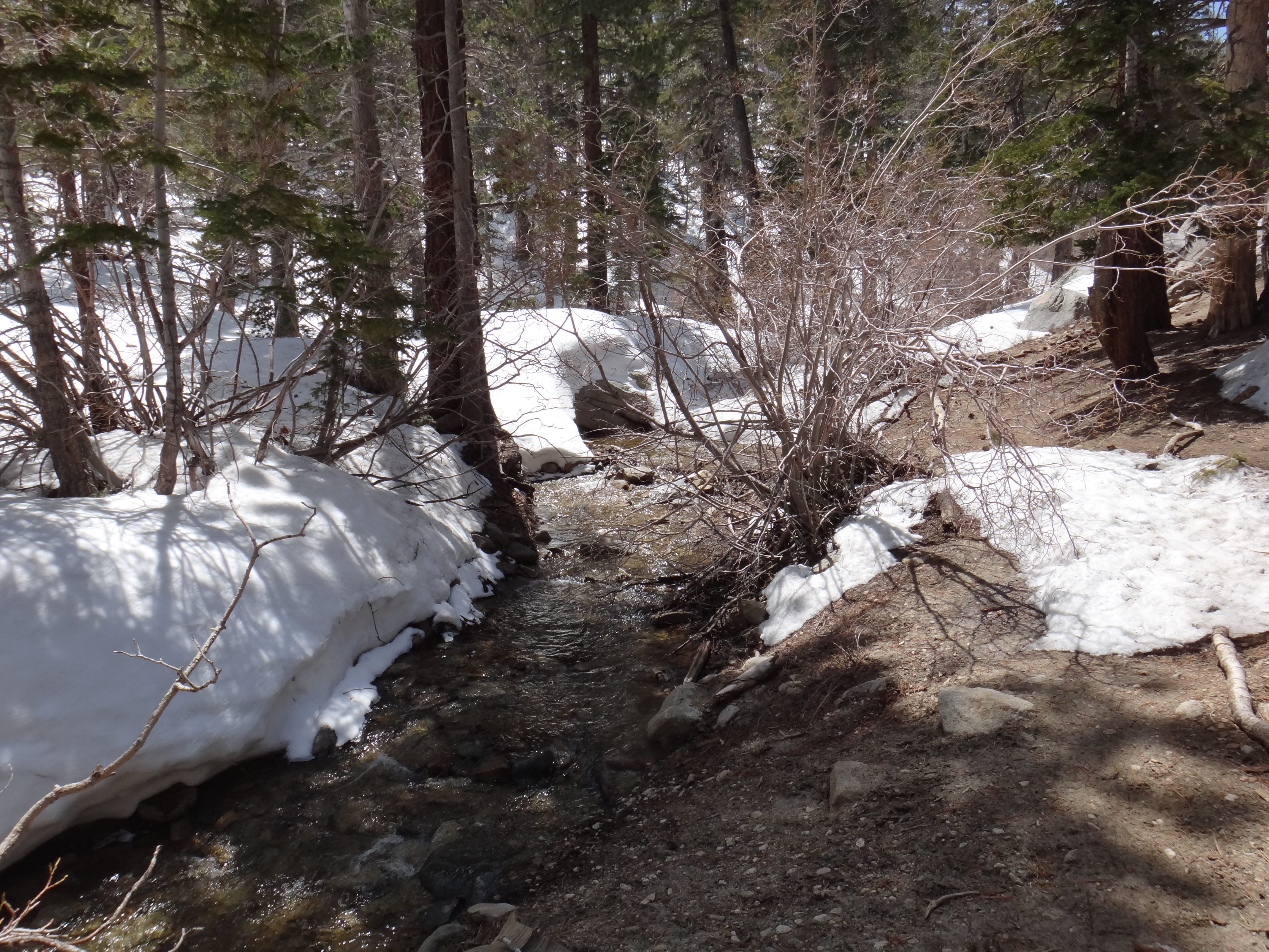
Starting to get into patches of snow. It was deep here last time.
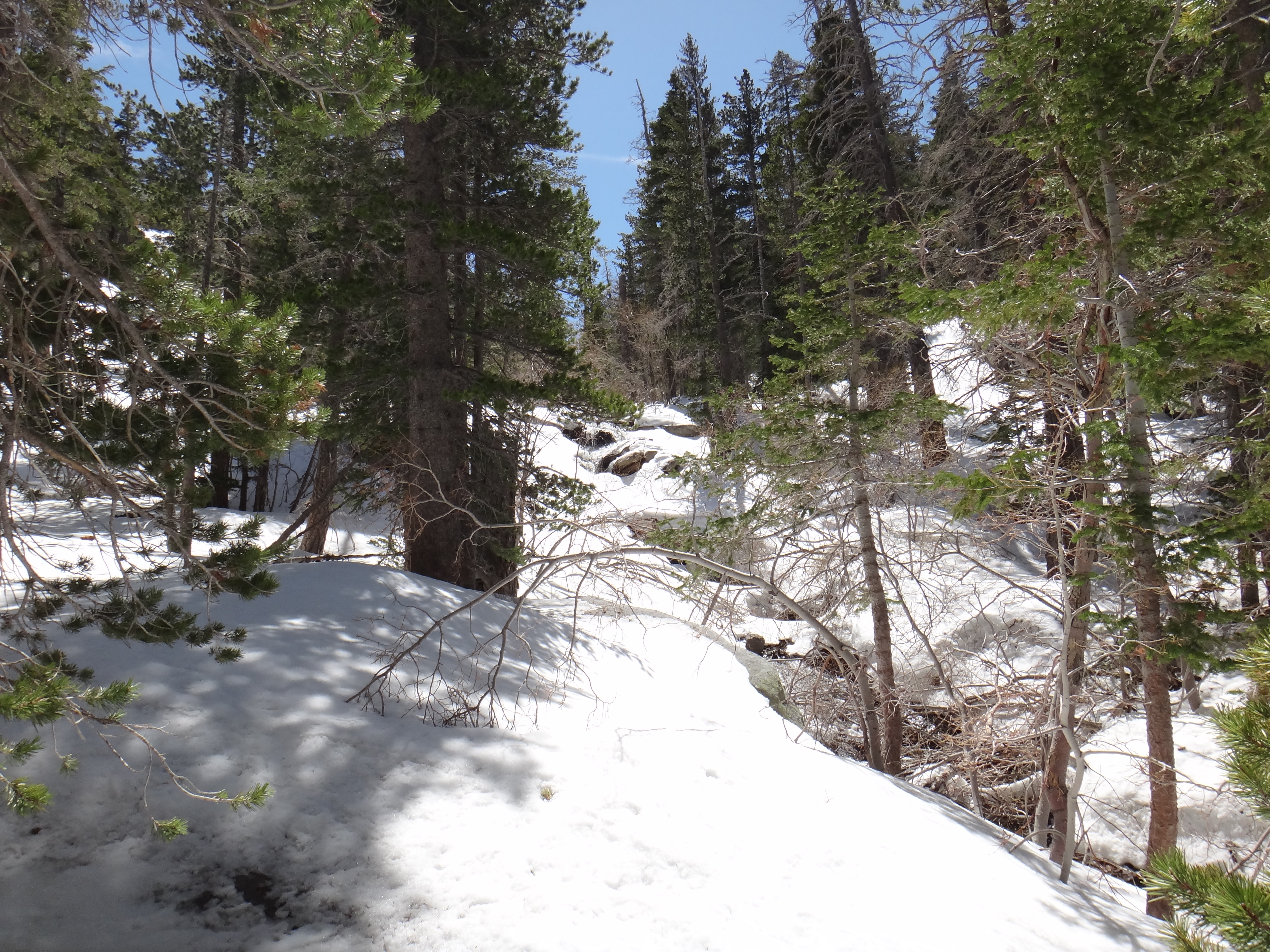
100% snow coverage the whole rest of the way after crossing the creek.
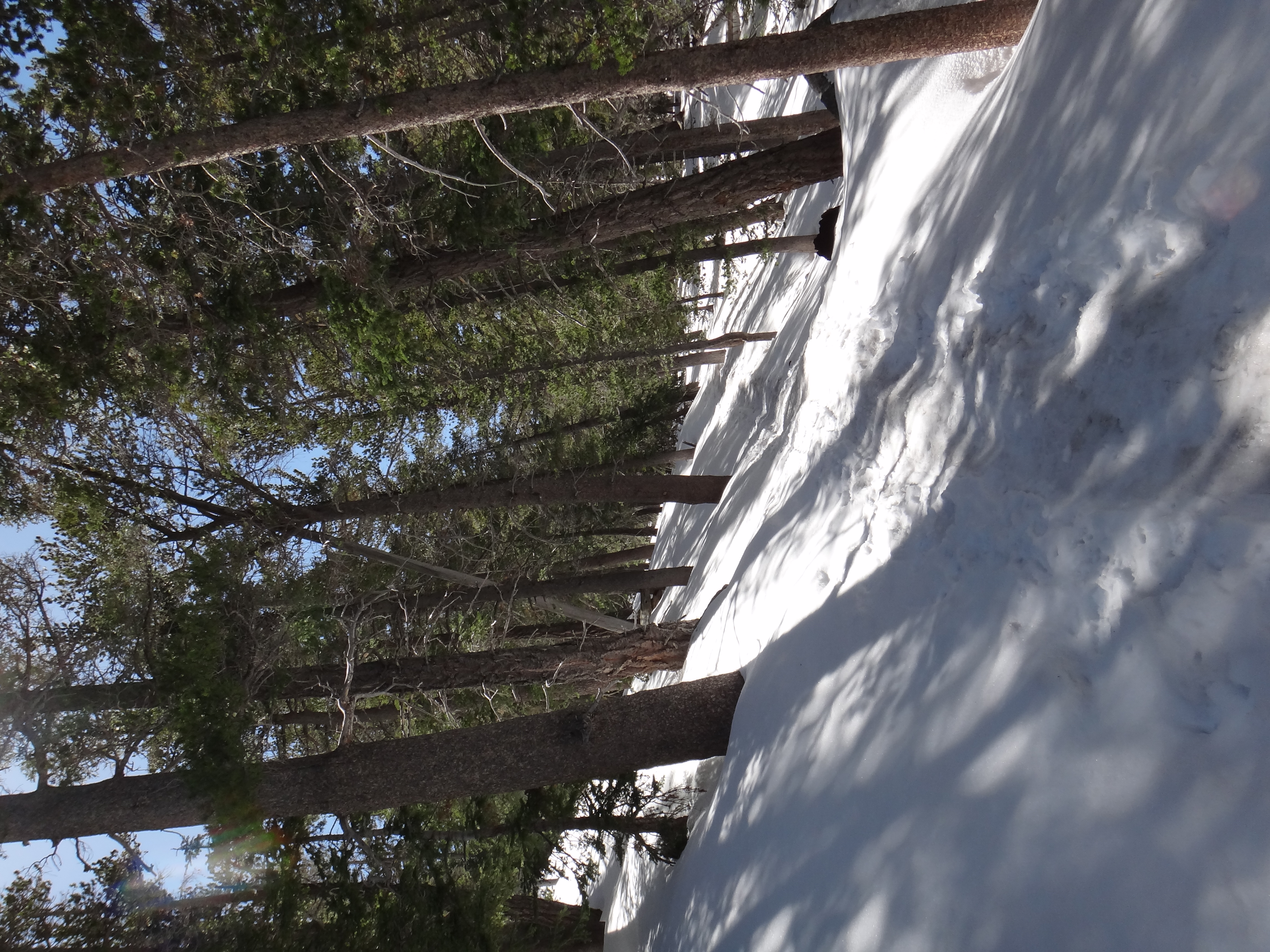
Easy snow hiking at this point. There's been enough foot and snowshoe traffic that there's pratcially a sidewalk in the snow here. Since time is tight today, I…

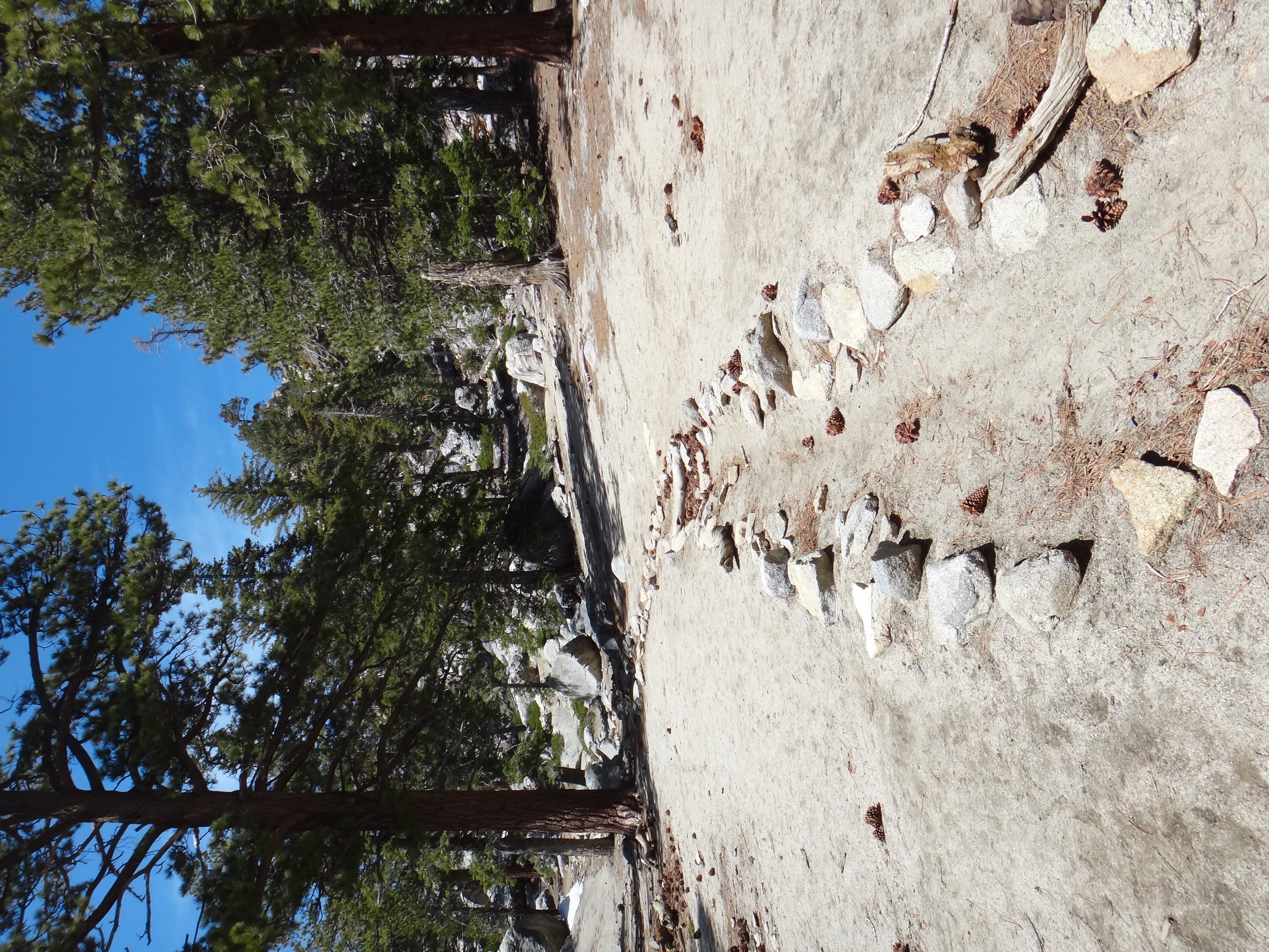
1.7 miles from Long Valley. This sign was completely covered last time.
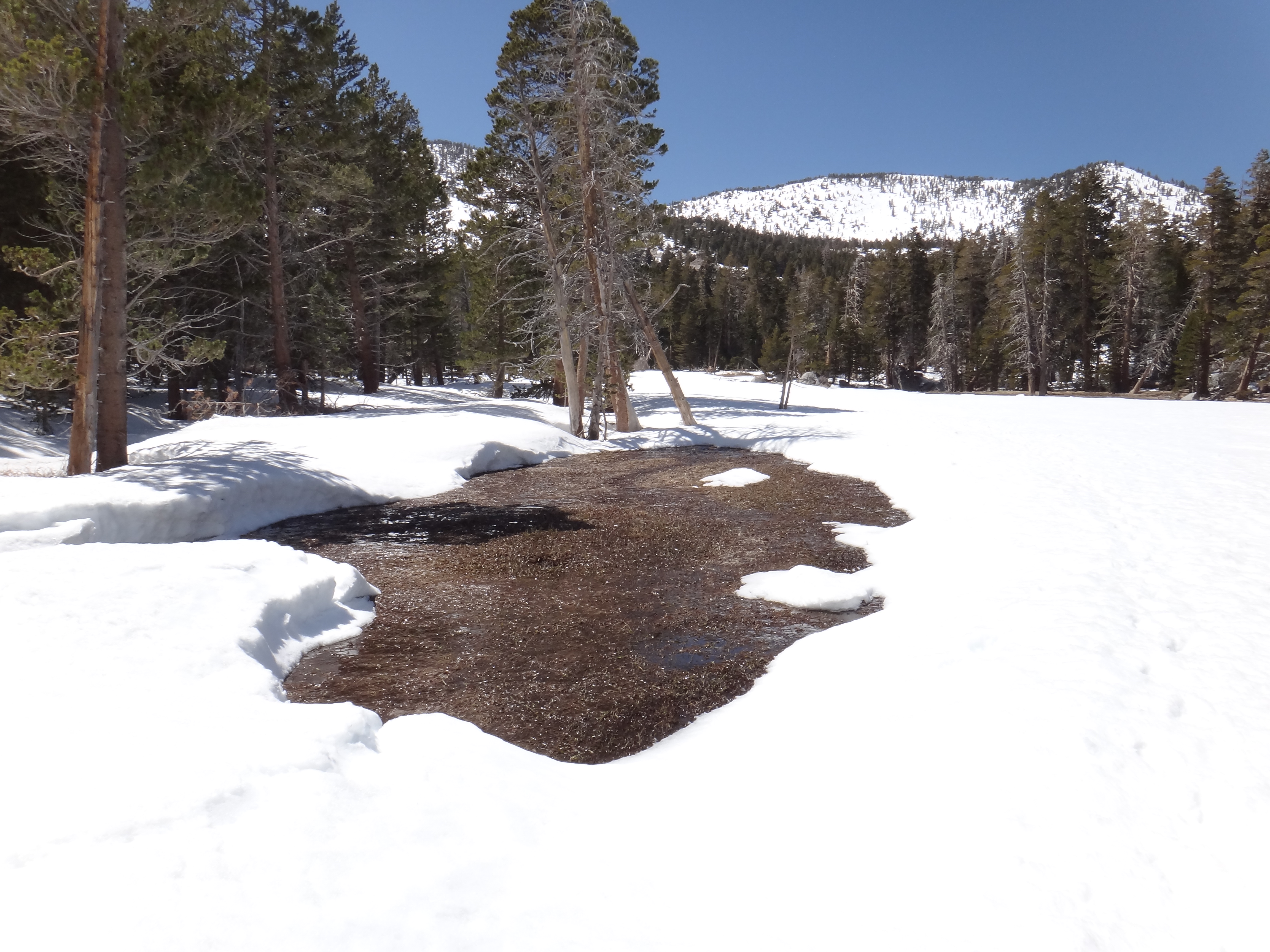
Round Valley. The meadows are just starting to show through the snow.
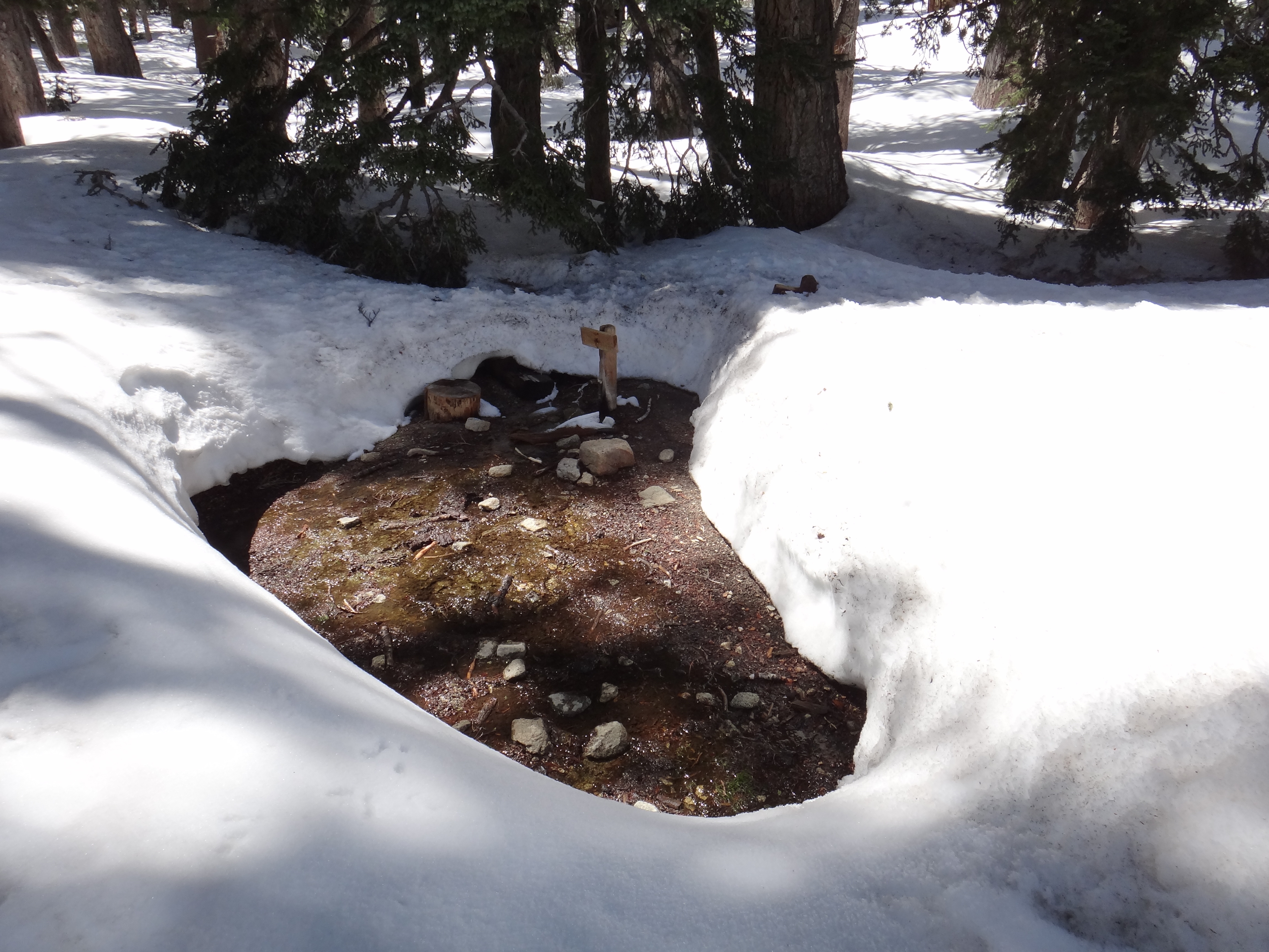
The backpacker's water stop at the edge of Round Valley.
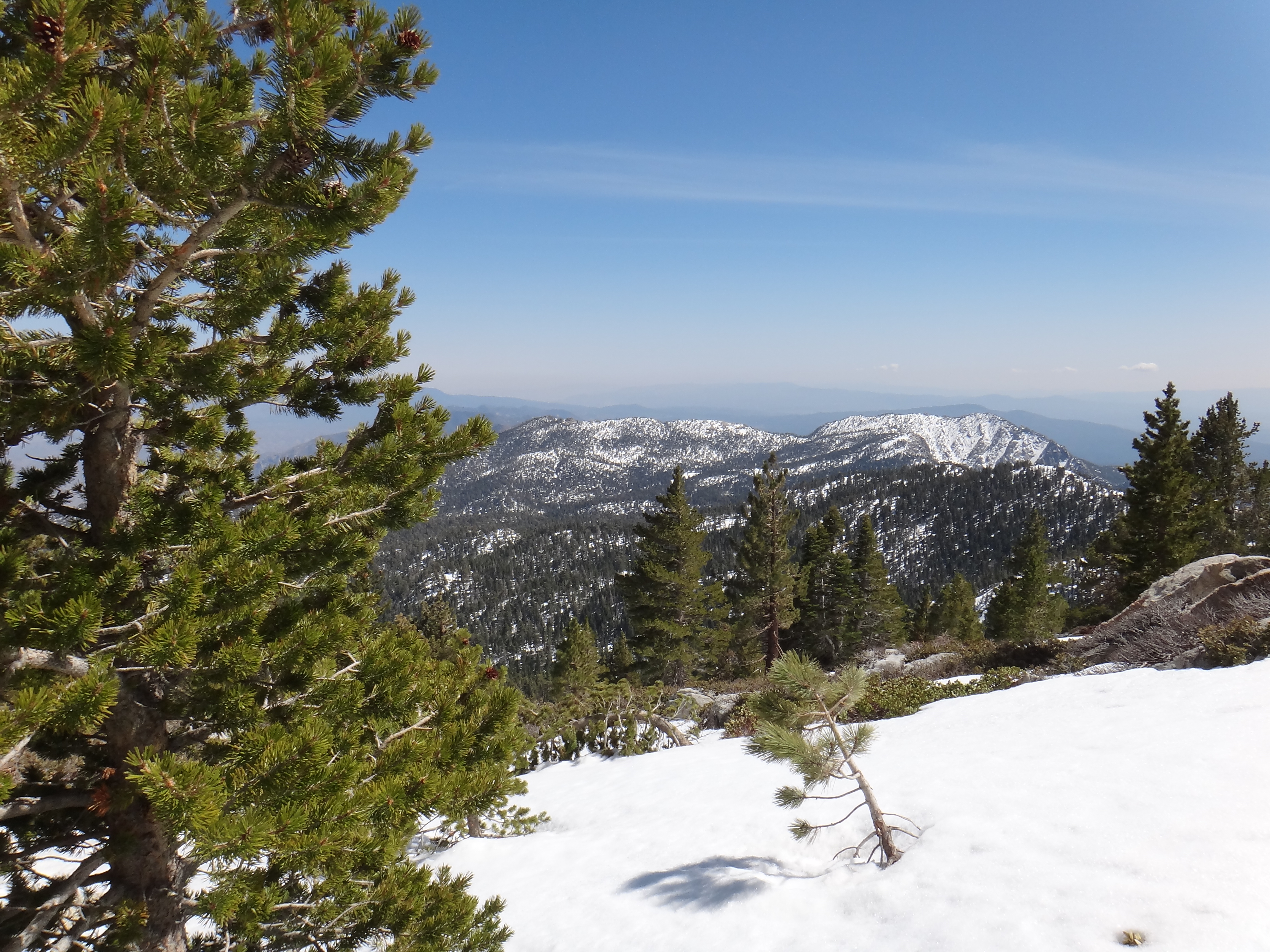
View from the trail junction at Wellman's Divide. This is actually not far above Wellman's Cienaga, one of my favorite spots in Southern CA.

About 2.3 more (steep) miles to the top.
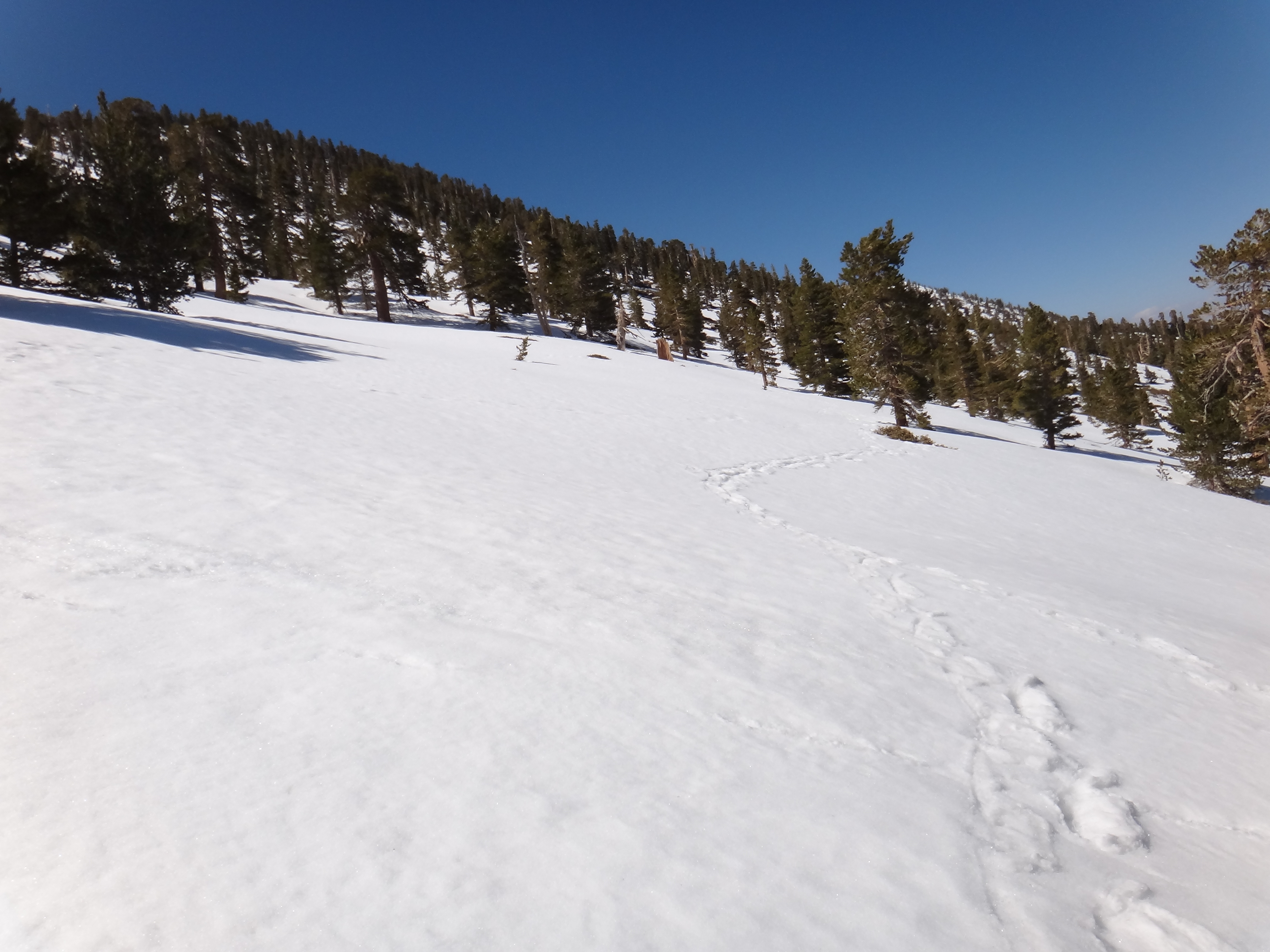
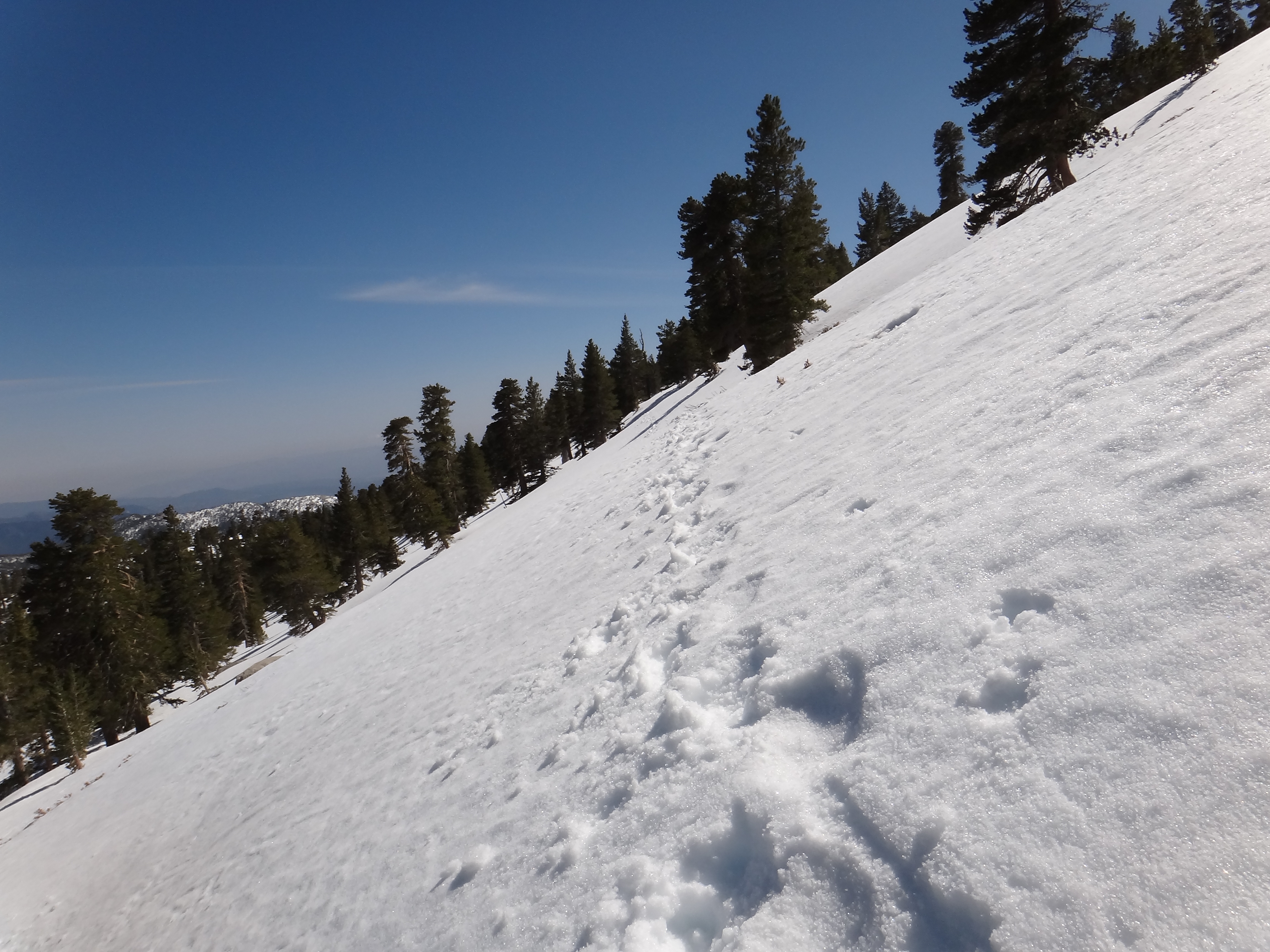
The tracks are sparse from here on up. I'm breaking trail in places and following a set of snowshoe prints in other spots. Most people that snowshoe or hike…
Another fun traverse. This would be pretty easy in crampons, but I have nothing but my YakTrax Pros because I have to travel light and it would be a pain to…
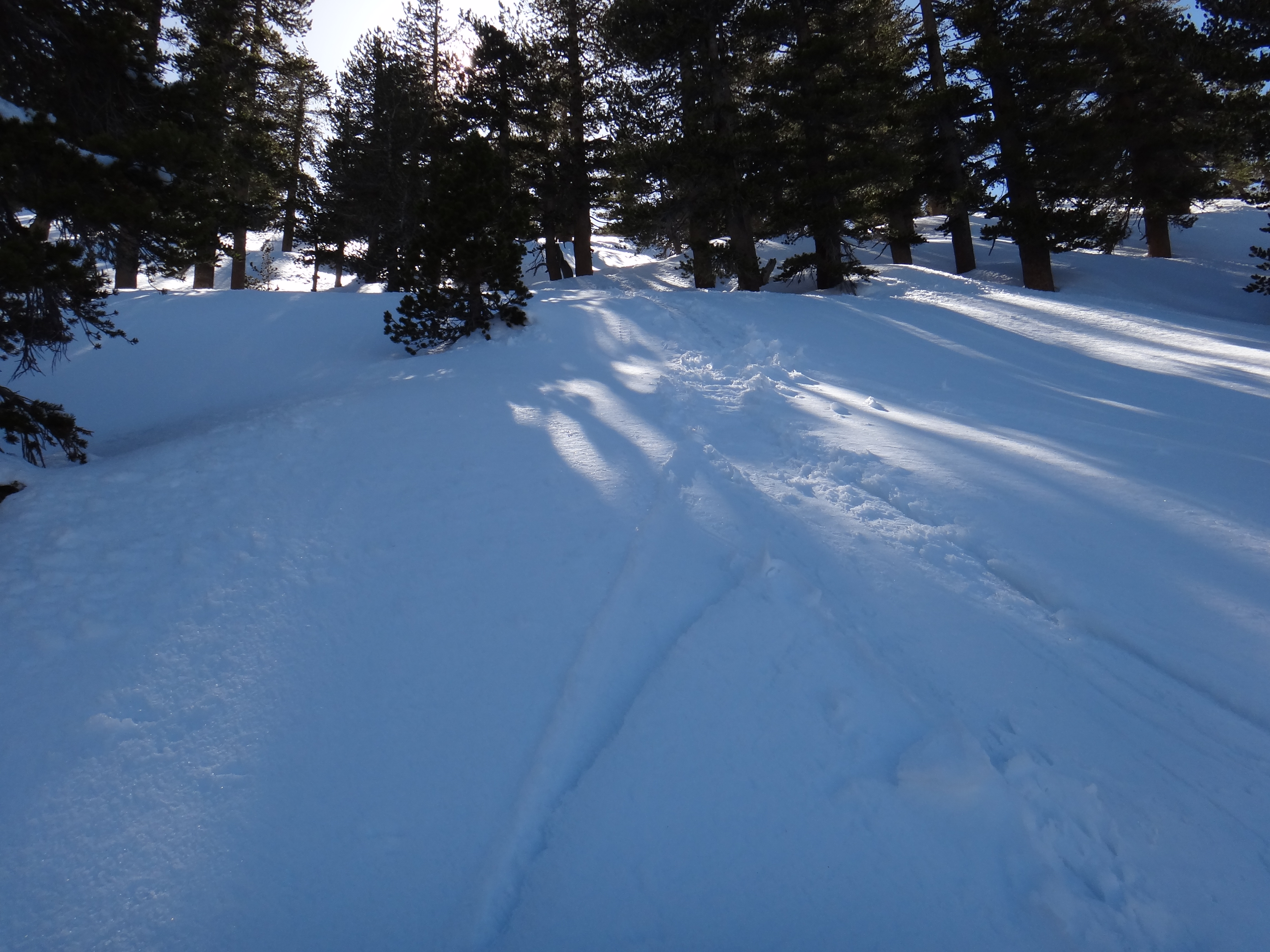
A classicly deceptive picture. This is extremely steep. The snowshoers had evidentally decided to head straight up the hill and cut some distance off the trail…

A panorama view from the ridge just below the summit. I'm close enough now that I'm starting to think I may actually pull this off today. I wasn't sure all the…
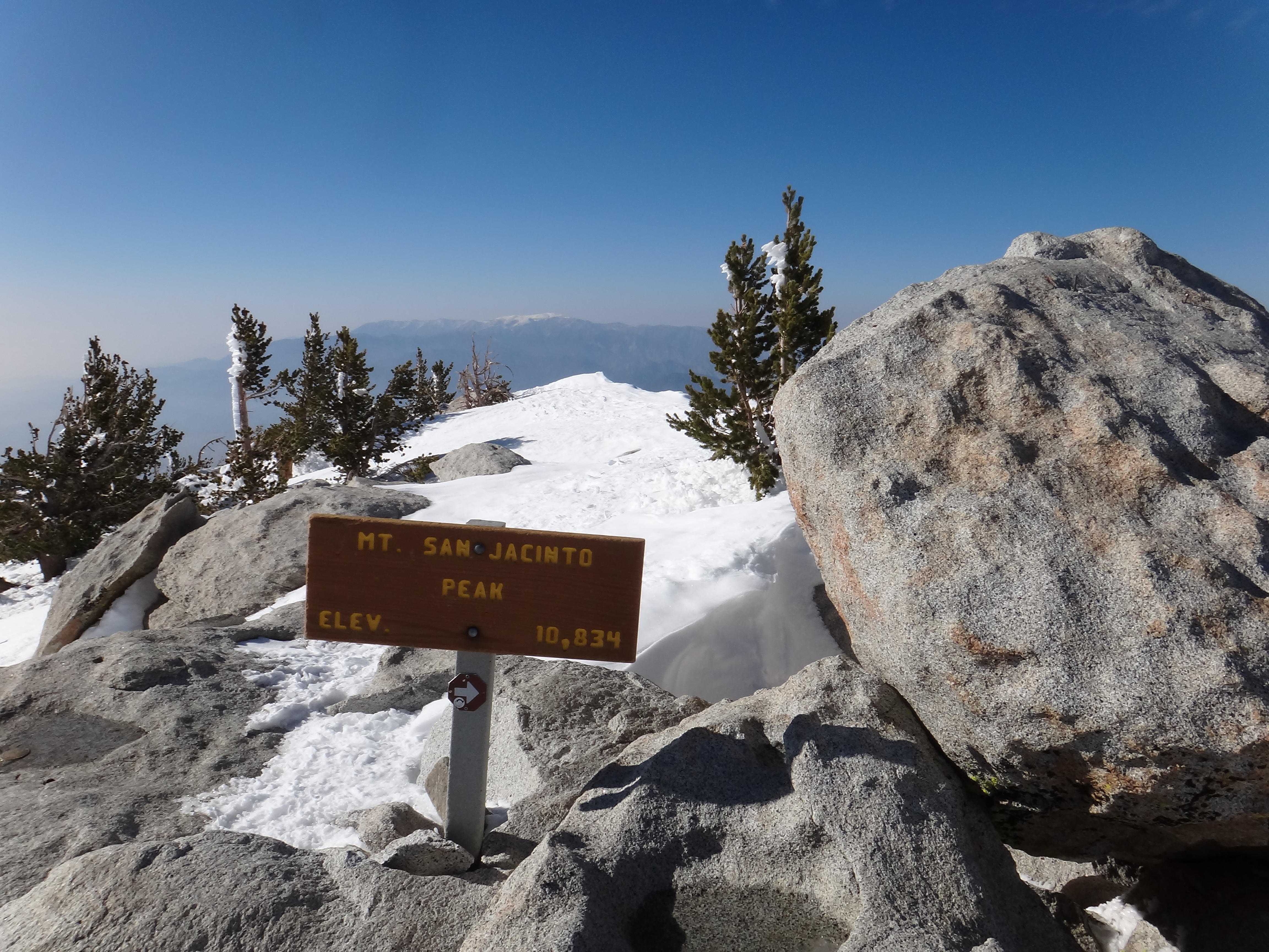
Made it! Only person on top. I love the little arrow in case you didn't realize that rock to the right was the highest point. It's just before 5:00pm when I…

The official summit marker.
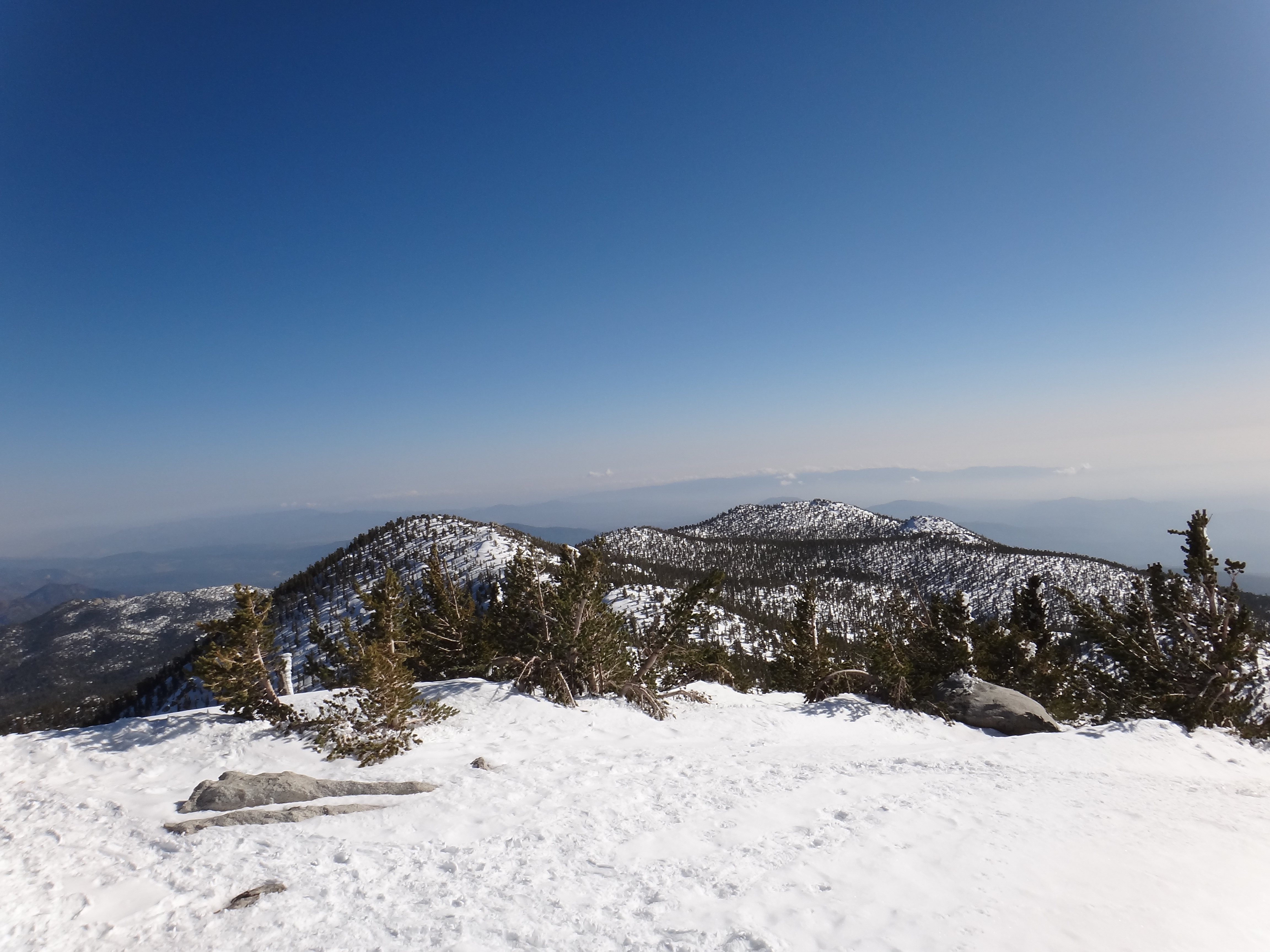
View from the top.

Another summit view.