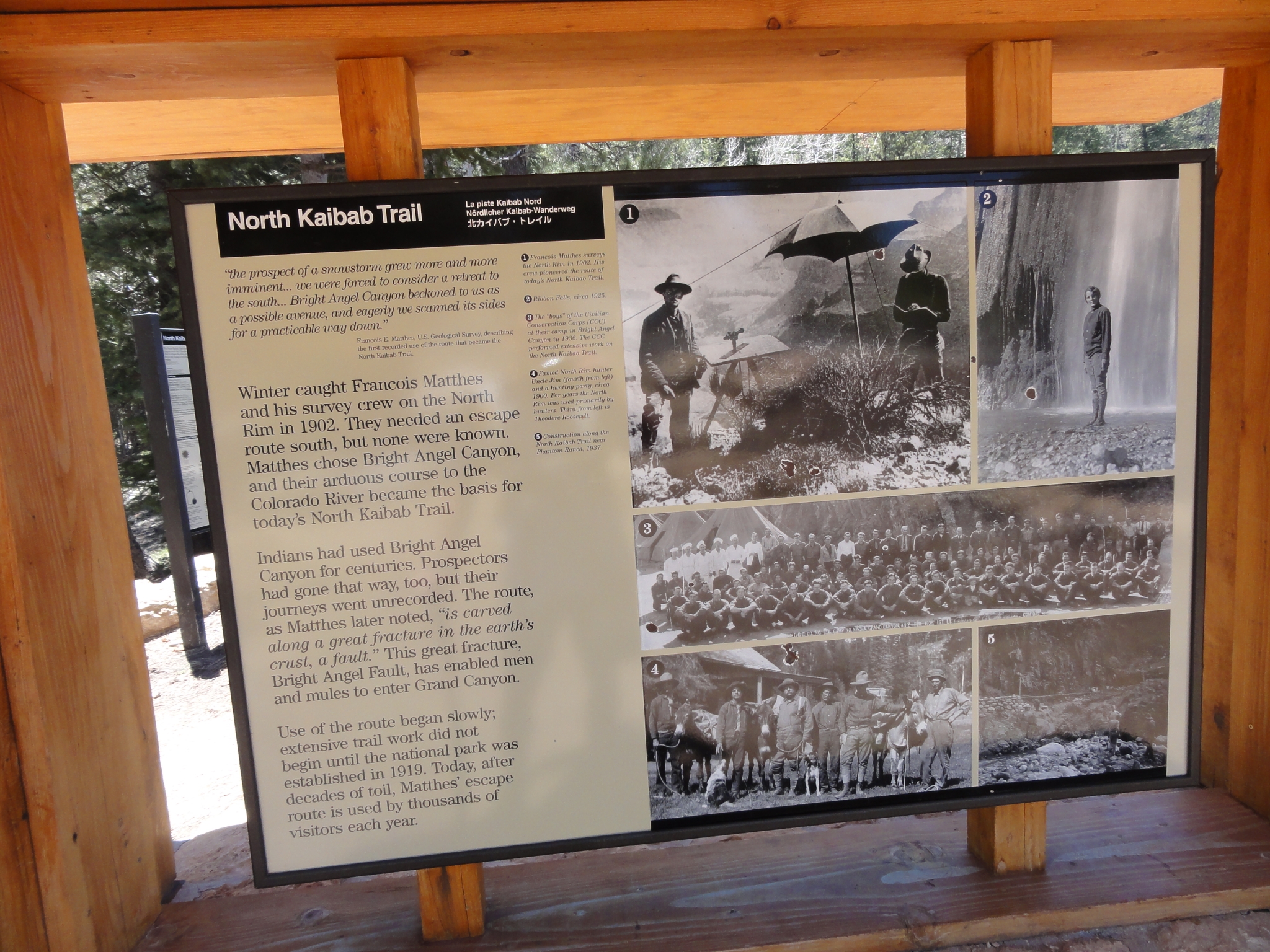
North Kaibab
Continuing on from Phantom Ranch and The Box, the North Kaibab trail covers roughly 14 miles and over 6000' of elevation gain up Bright Angel and Roaring Springs canyons from the Colorado river to the North Rim.
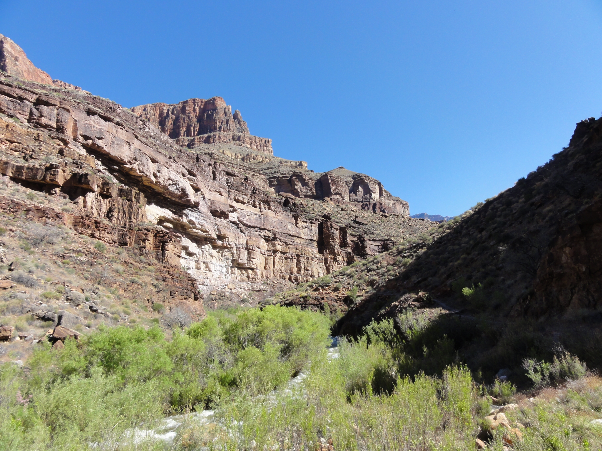 1 Out of The Box and into the wider portion of Bright Angel Canyon. I'm about 12 miles into the run and still feeling great. I'm trying hard not to worry about time, but I feel like I'm pretty close to being on-schedule. |
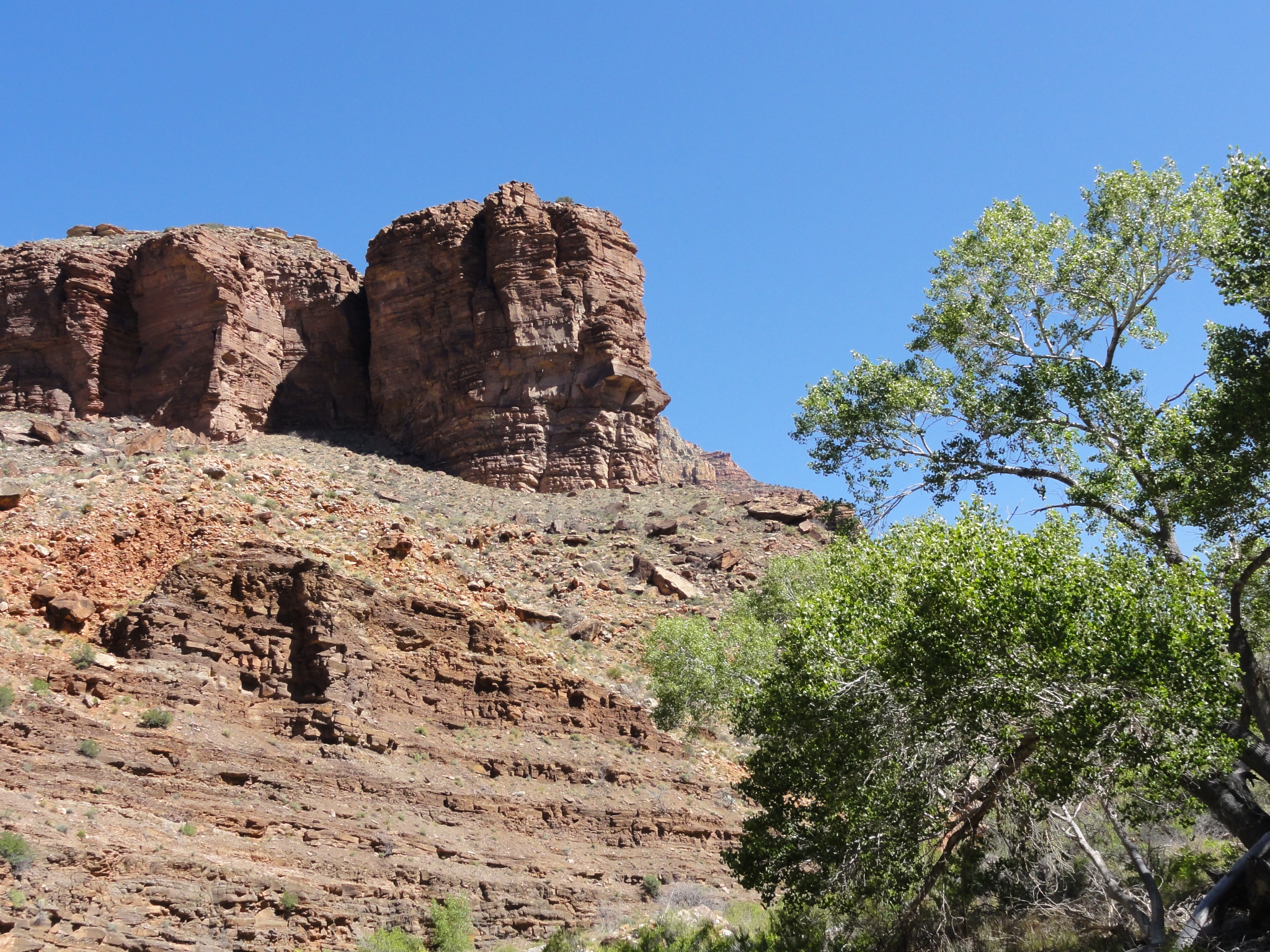
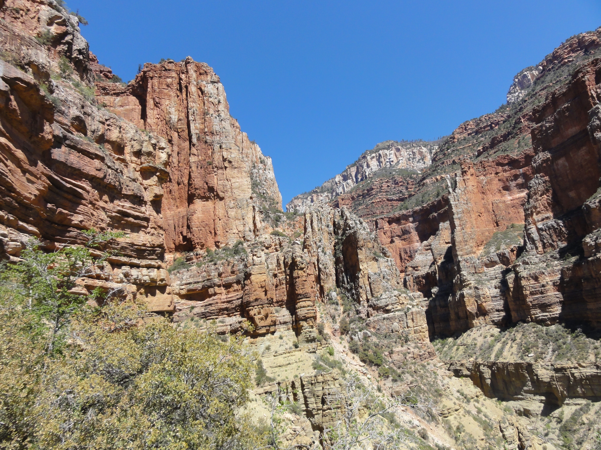
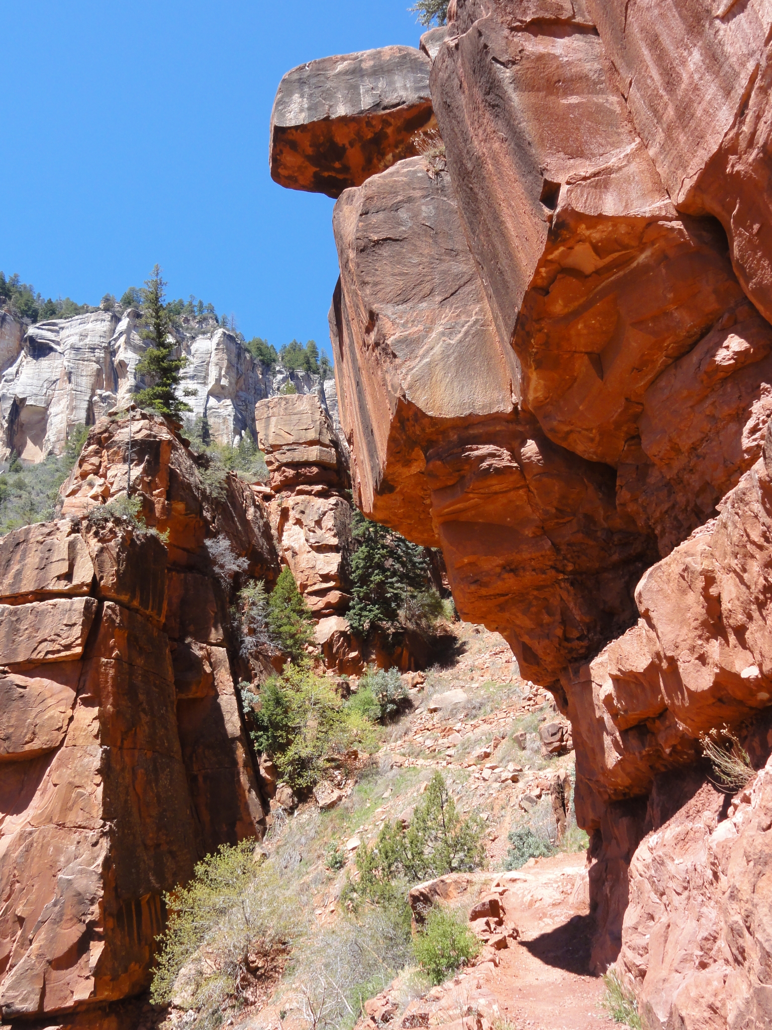
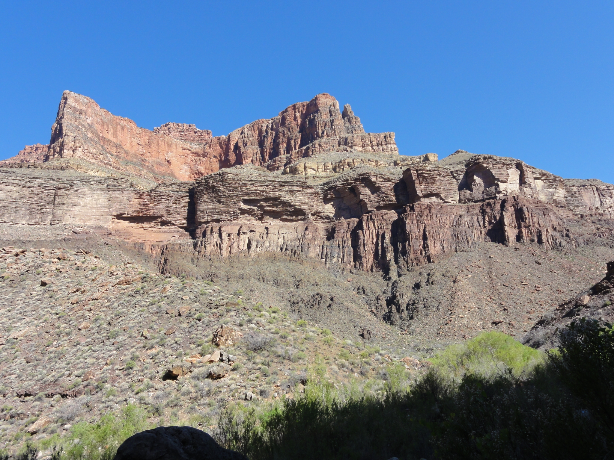 2 The cliff walls and rock formations on either side of the valley are amazing. |
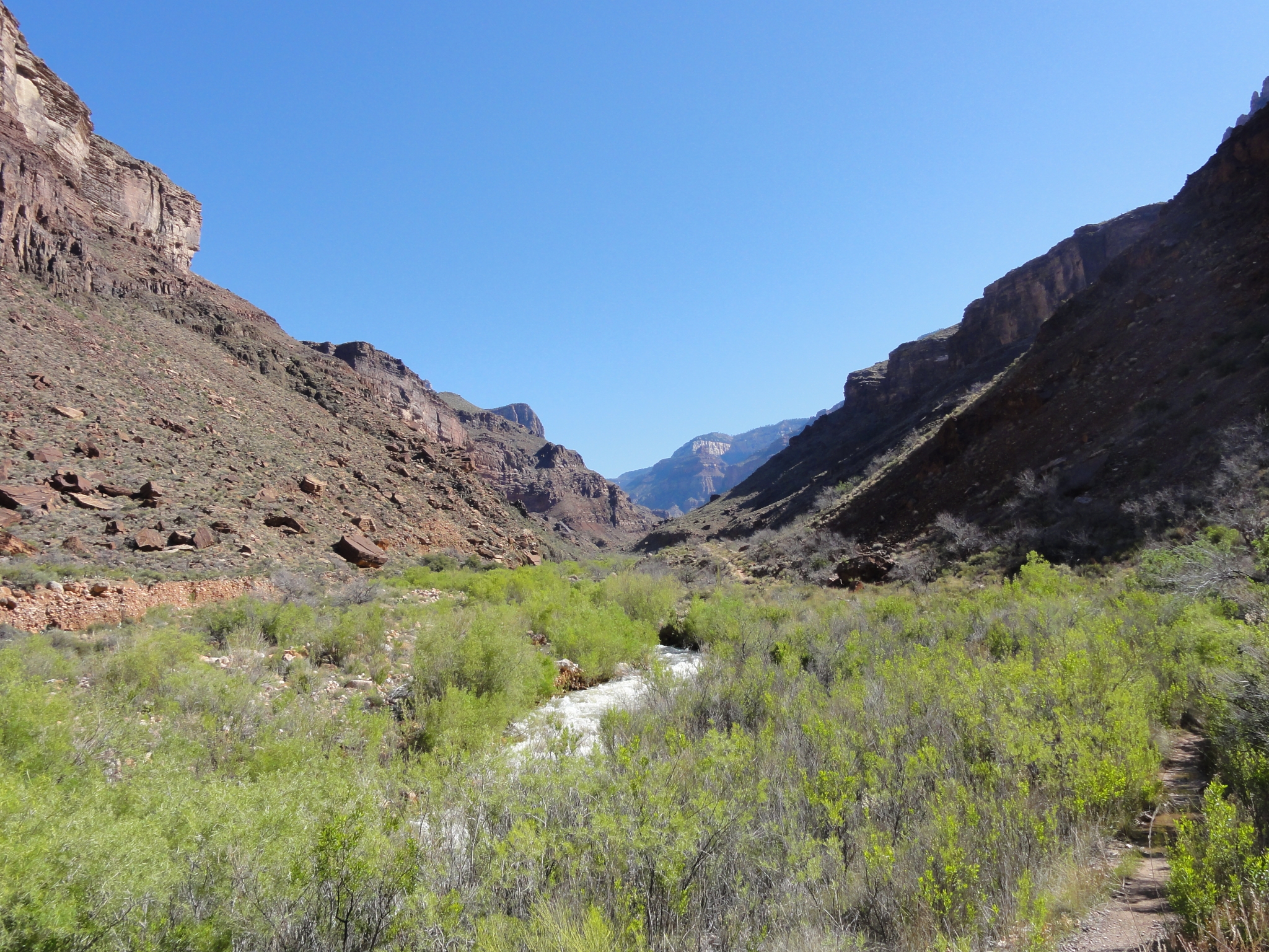 3 A look down the long valley towards Cottonwood Camp. This was one of the mentally toughest sections of the trip for me, particularly on the way back. You're staring at the same destination at the end of the valley for miles and it's just rolling terrain. Really the only relatively boring section of trail in the entire 46 miles. And it's also the hottest, probably into the low 80s, which is actually mild for the Grand Canyon in May. |
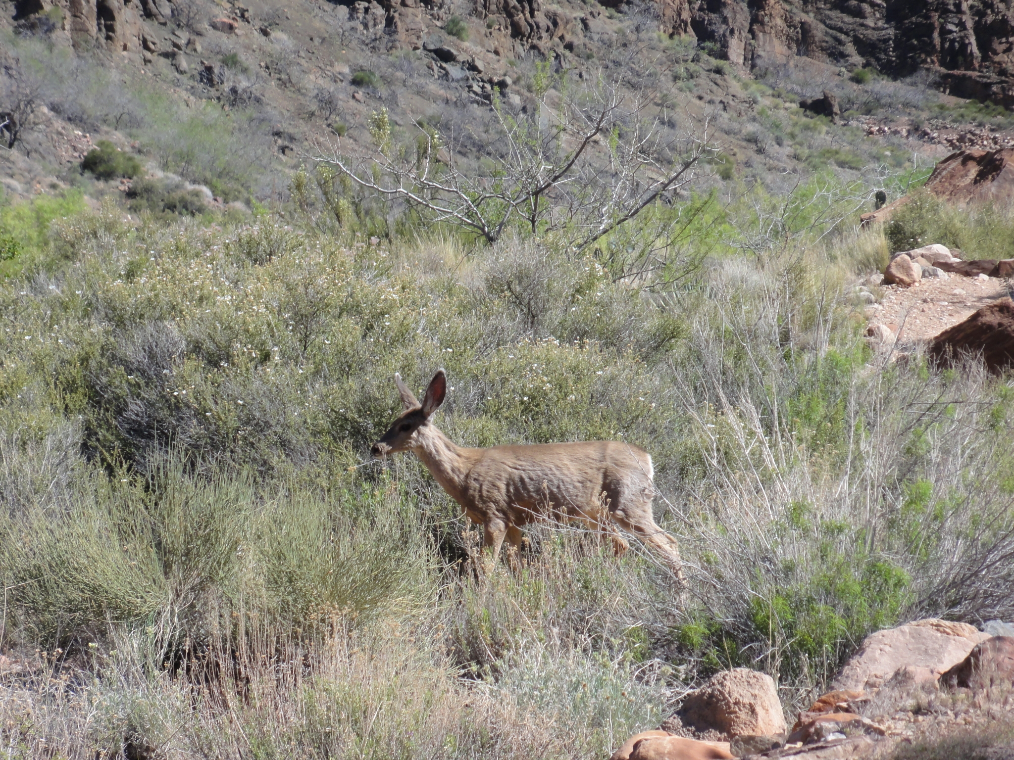 4 The deer here seem pretty people friendly. This one had no problem posing as I stopped to take pictures. |
5 A panoramic look across the valley. View Full Size |
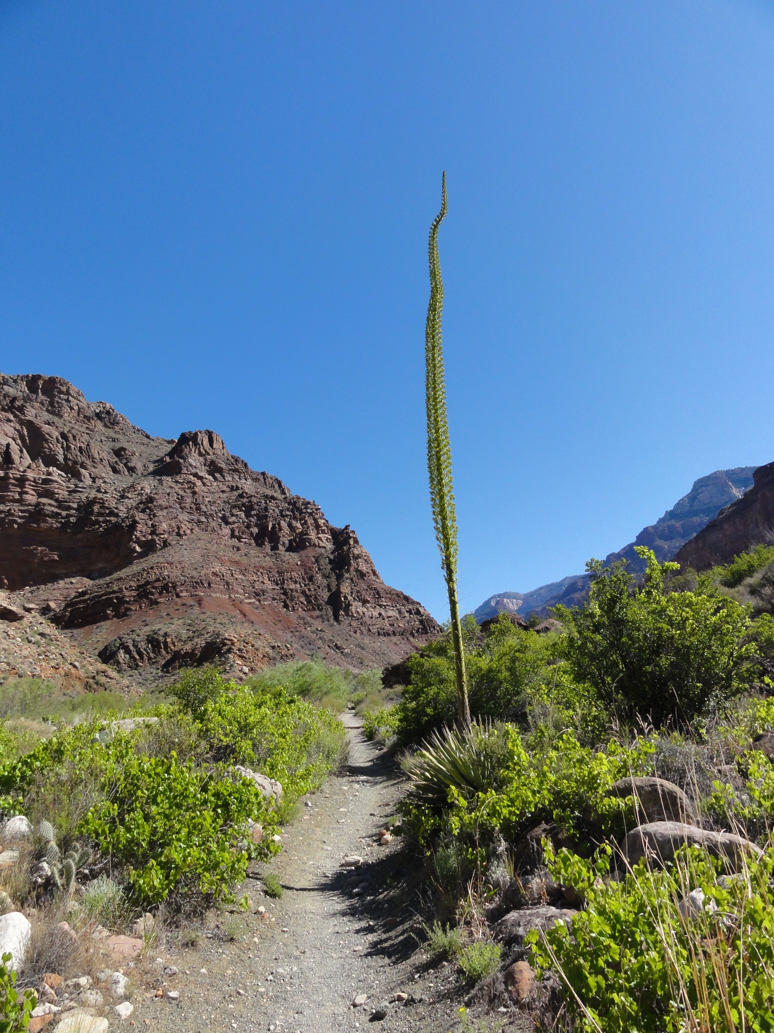 6 A particularly tall Agave plant, probably 20-30' tall. |
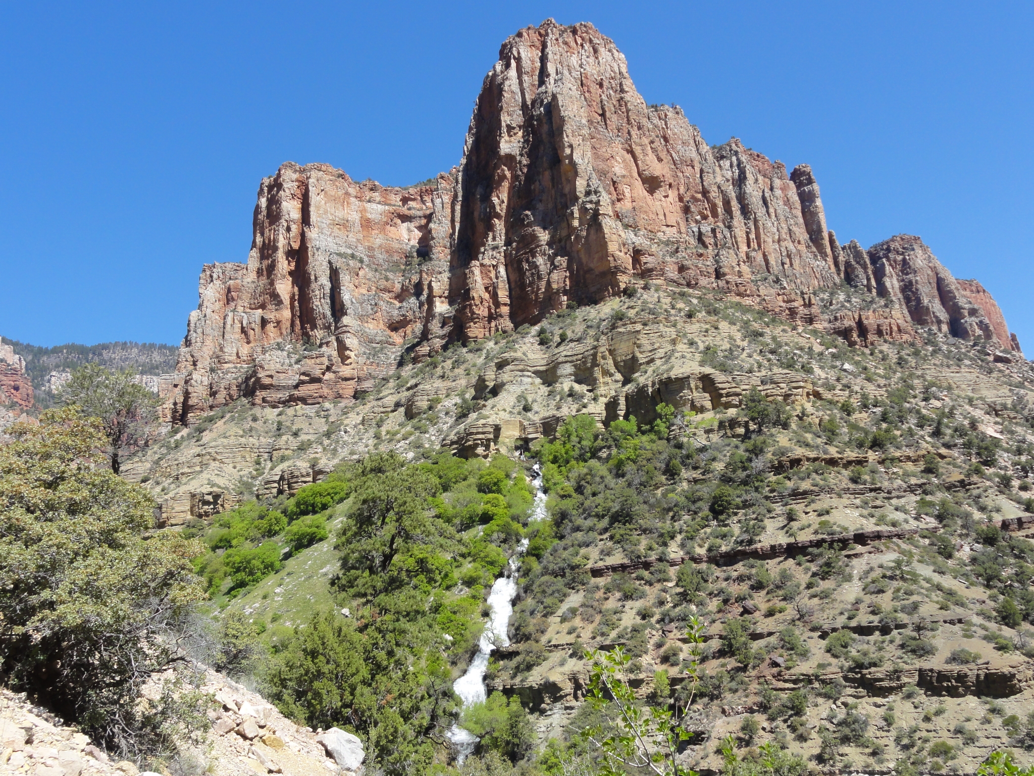
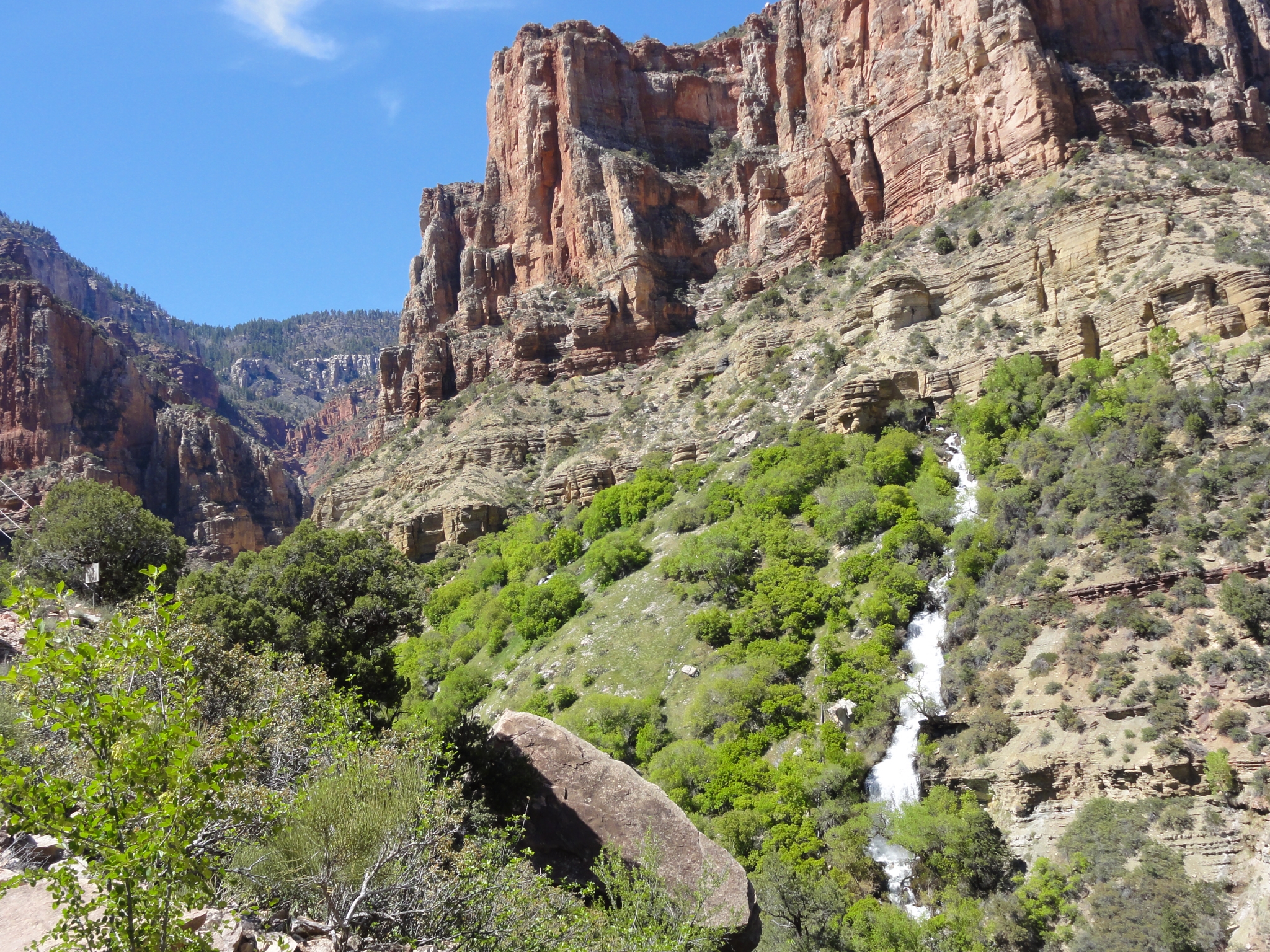
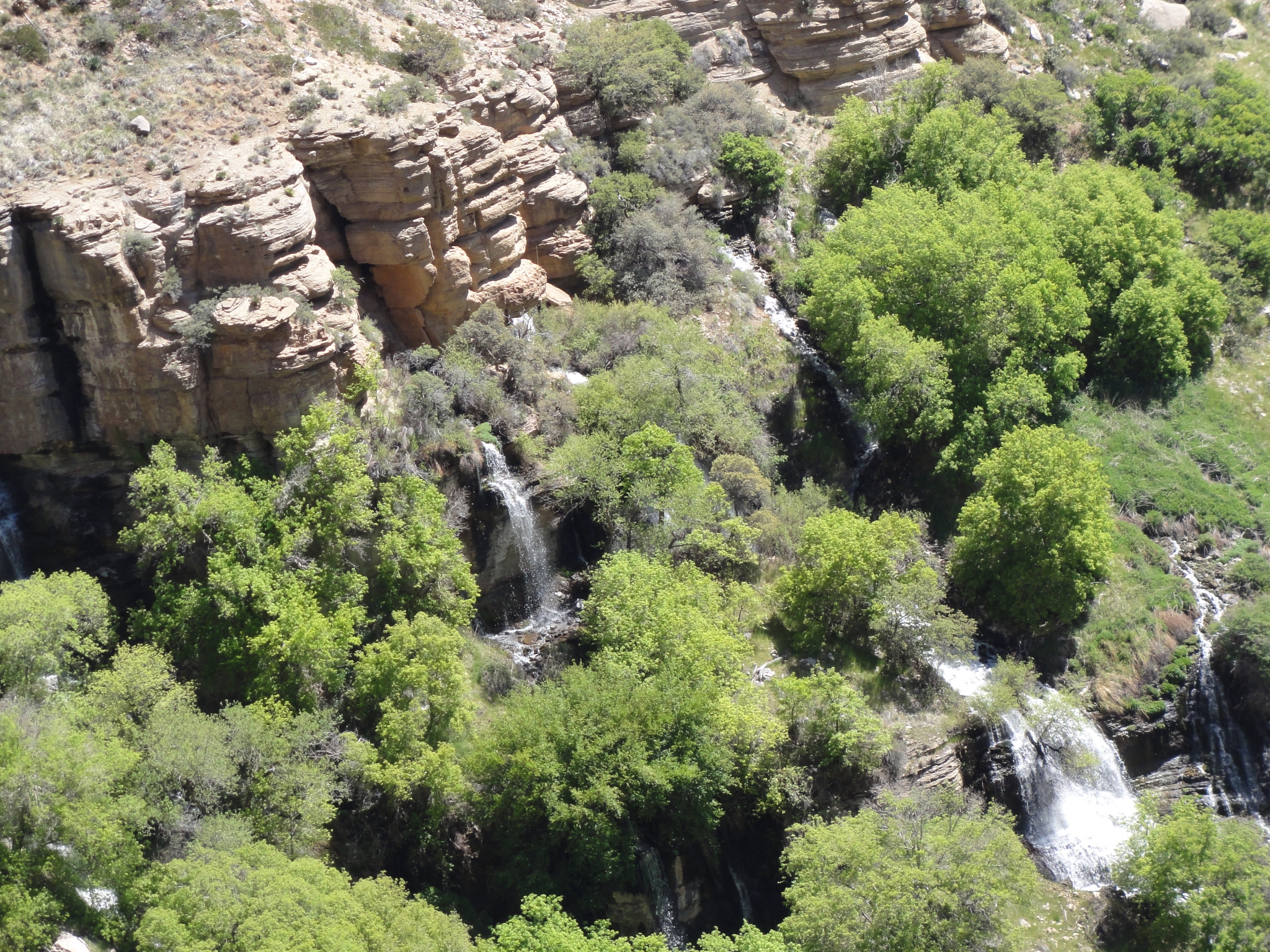
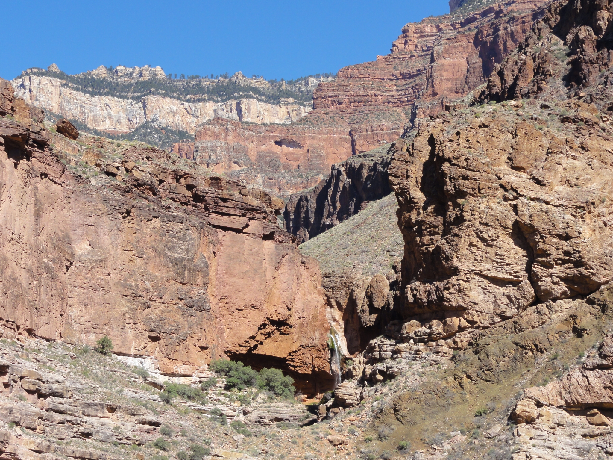 7 The first view of Ribbon Falls. It's a short (0.3 mile) detour to the bottom of the falls, but I decide to play it safe and save it for another time. I'm less worried about the 0.6 miles round-trip than I am in spending time at the falls and falling way behind schedule. |
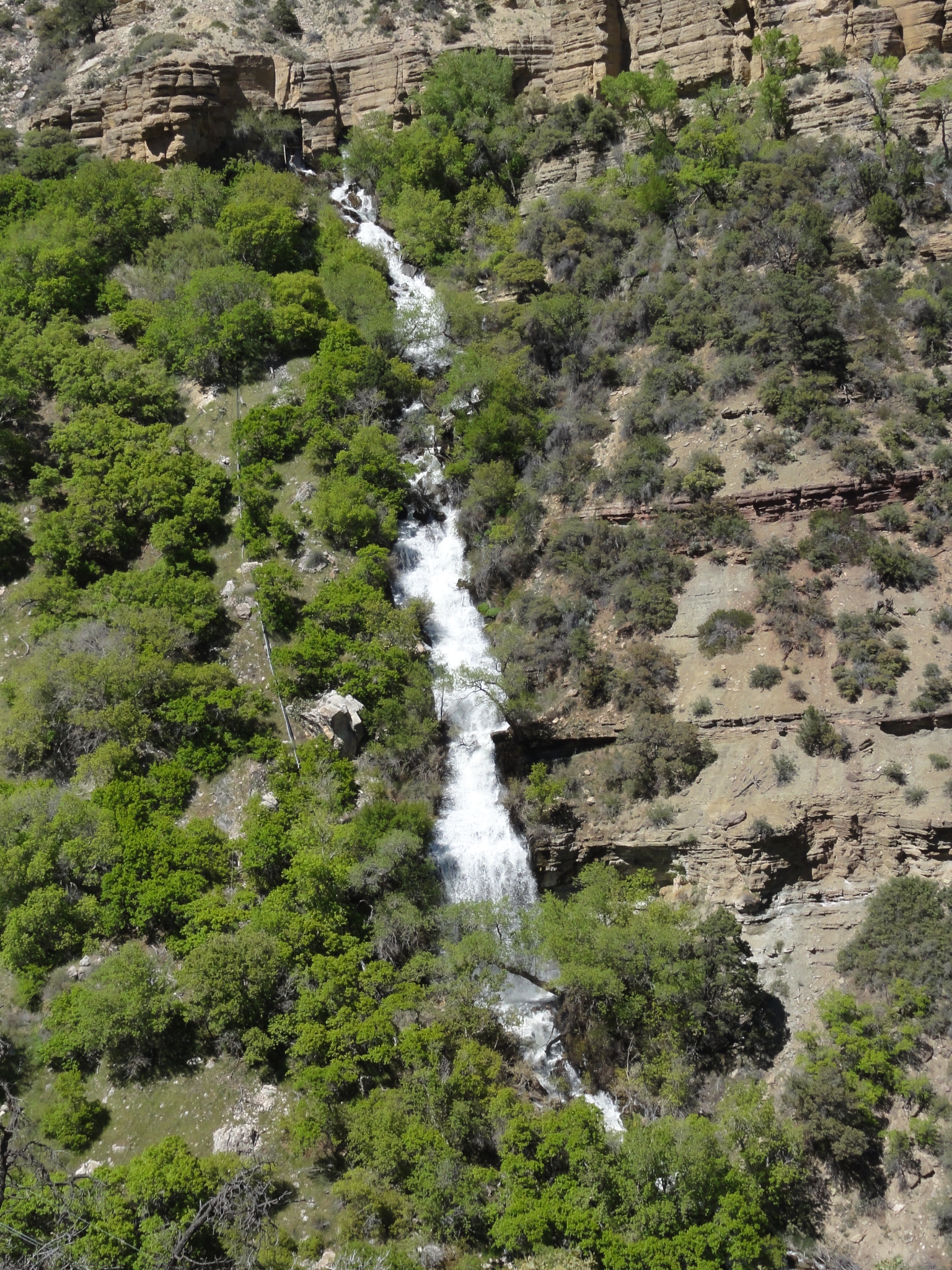
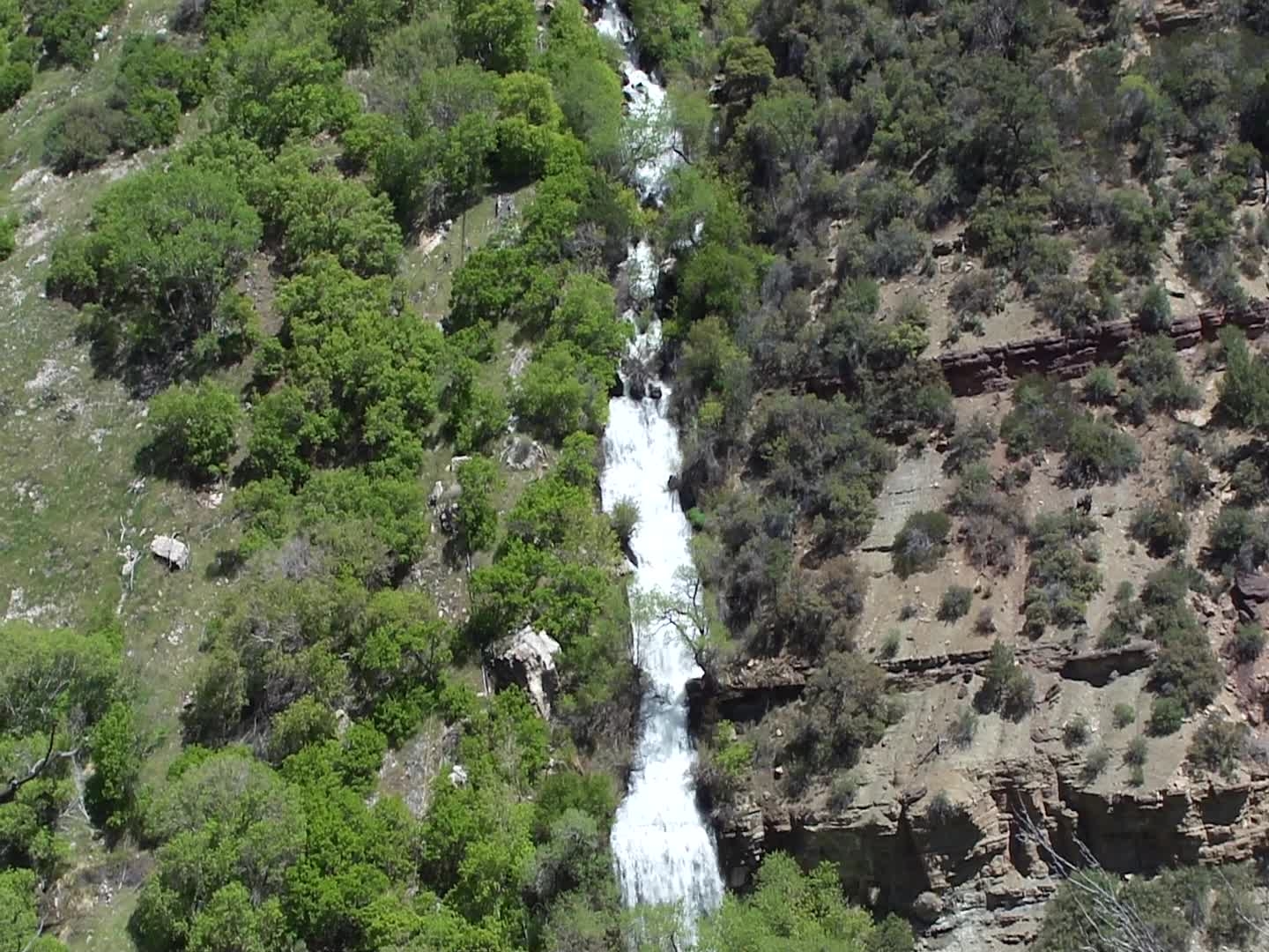
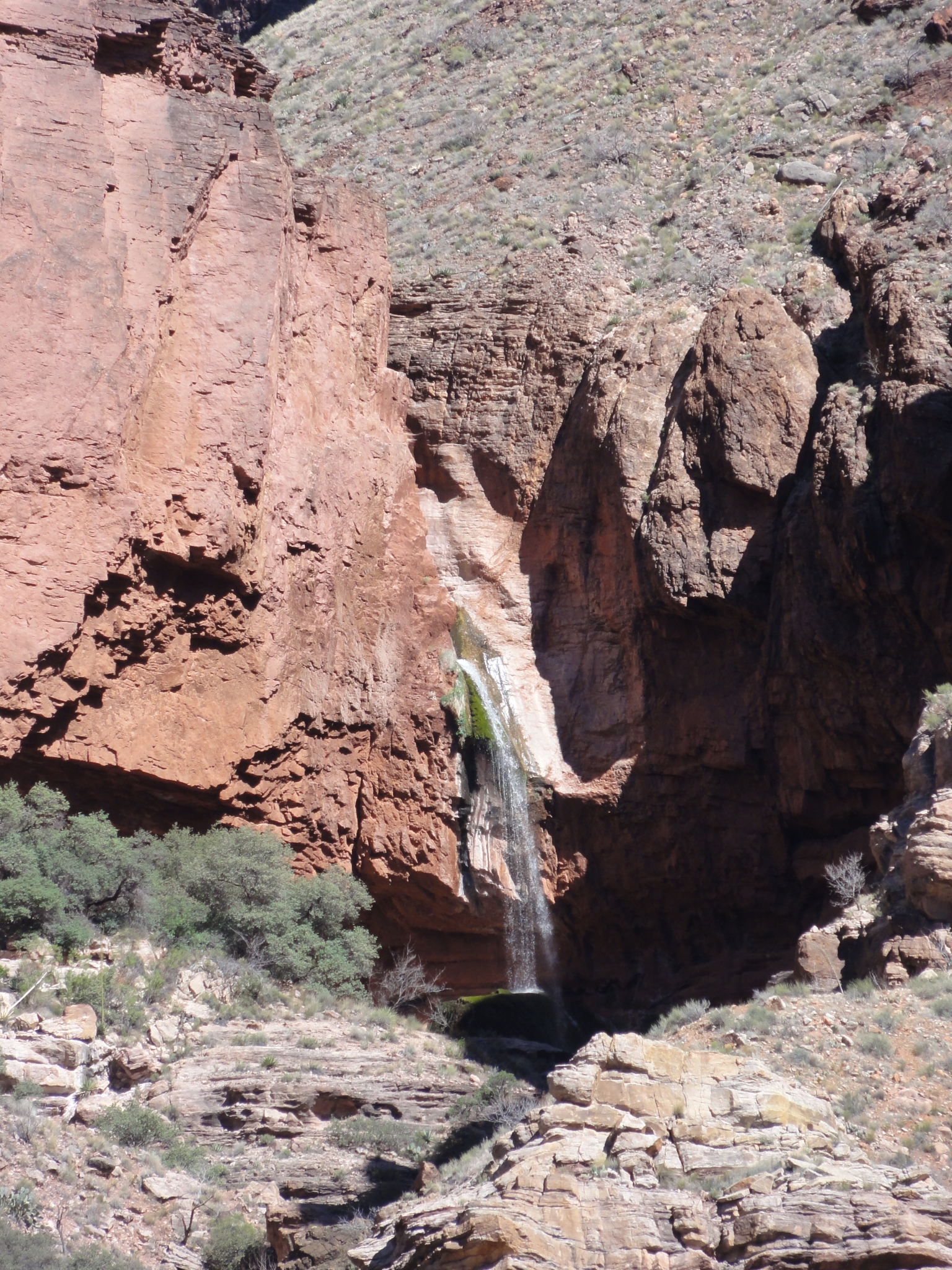 8 A zoomed-in look at Ribbon Falls. I've been told it's an awesome detour to take. You can actually walk behind the waterfall. Maybe next time. |
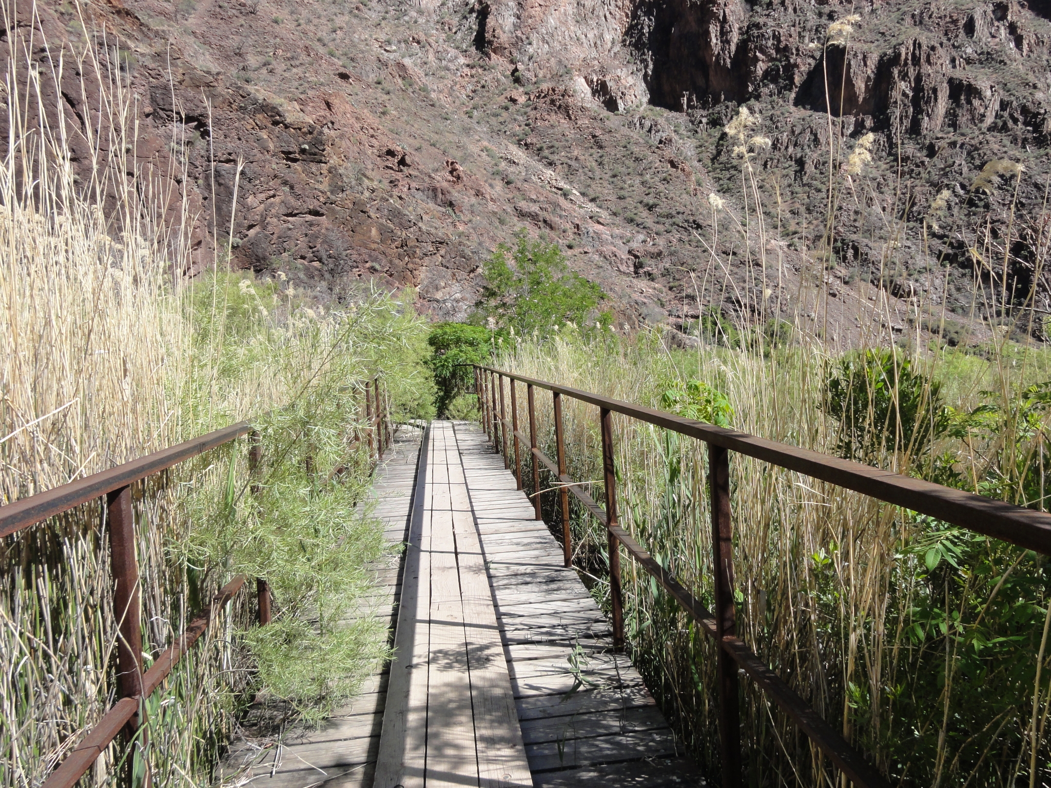 9 A bridge through the meadows, presumably to keep them from getting trampled. |
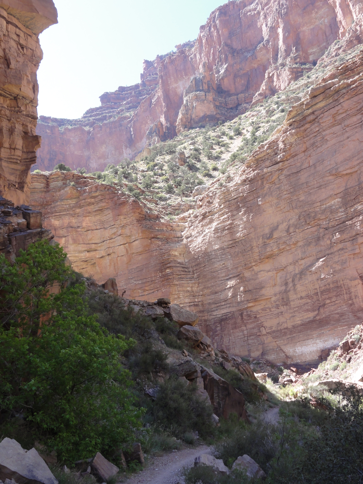
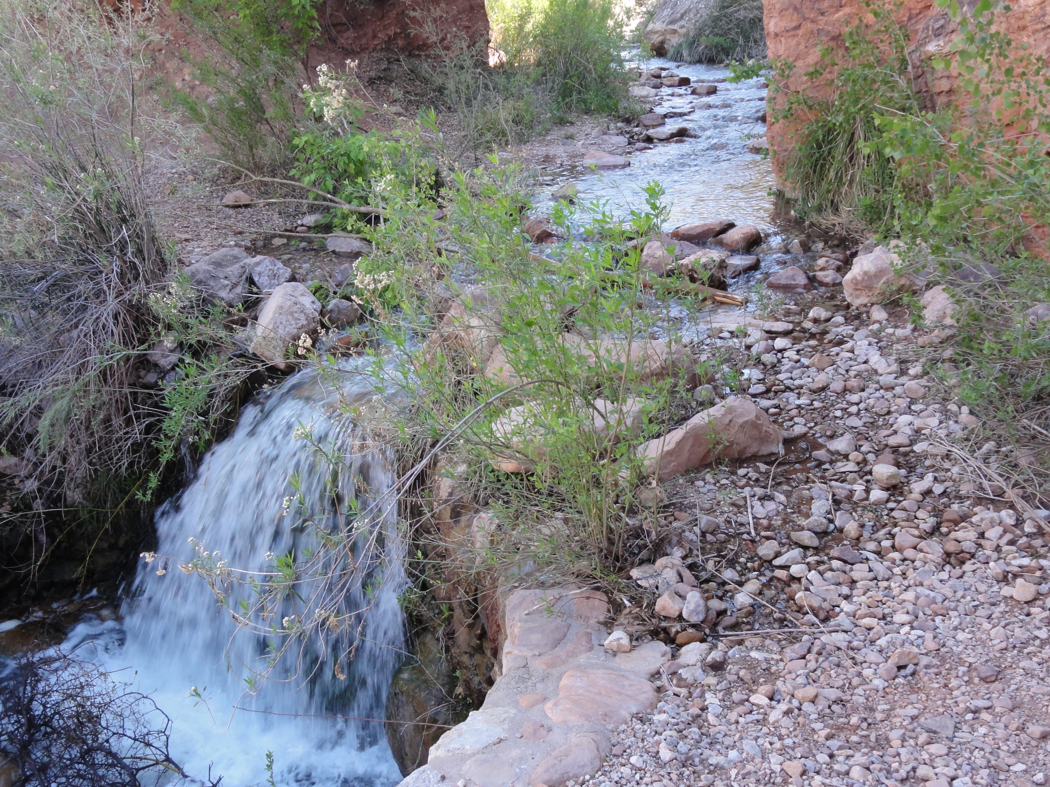 10 The water crossing before Cottonwood Camp. Evidently this can get pretty deep eariler in the year, but it's just a couple hops across the rocks right now. |
 11 Another interesting rock formation. |
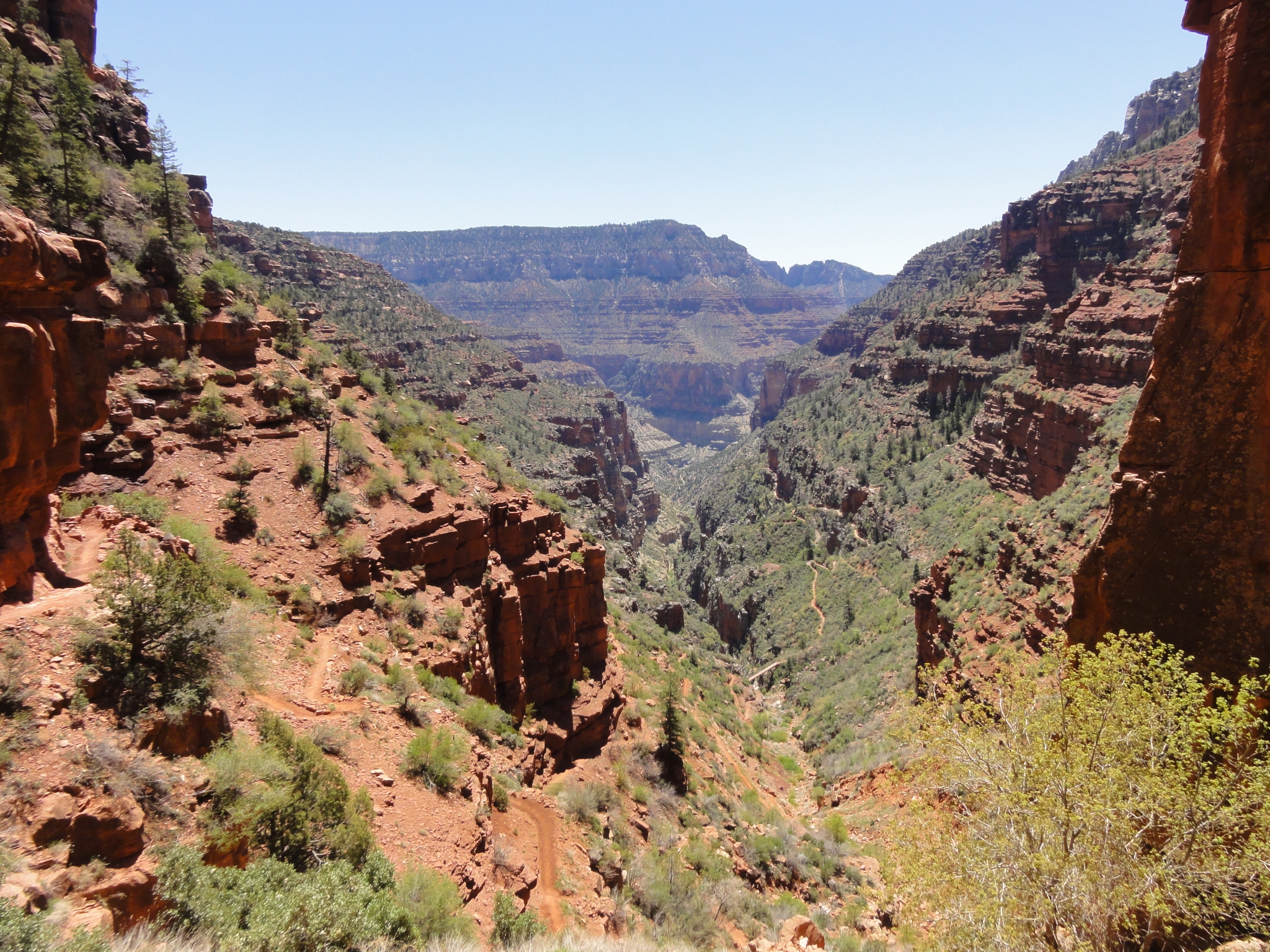
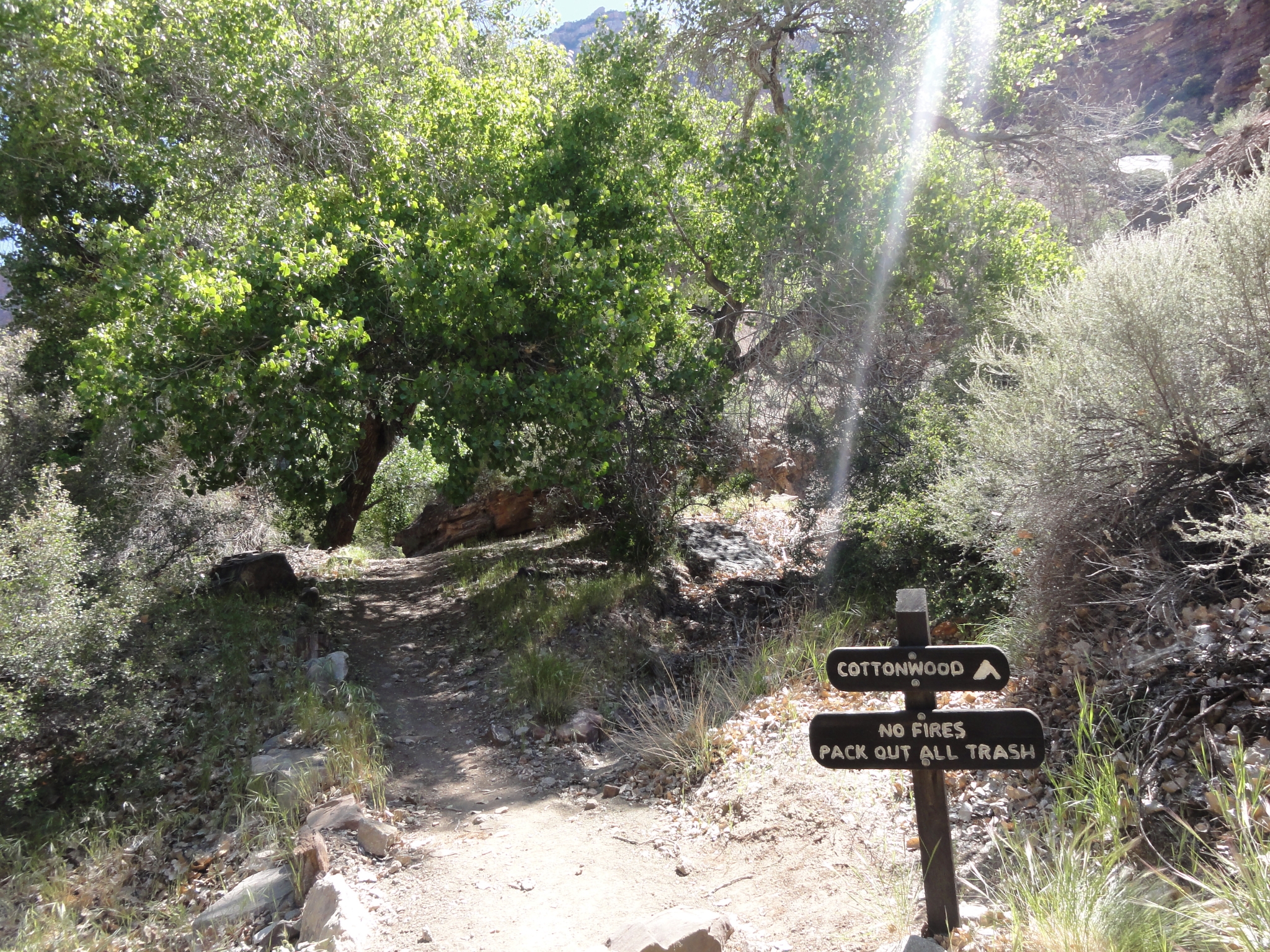 12 Made it to Cottonwood Camp, roughly halfway between the River and the North Rim. It's a 14 mile round-trip from here to the rim and back, and this is the last water stop, so I fill-up. I actually ran dry before making it back here later in the day, which was the only time I had water problems on the whole trip. |
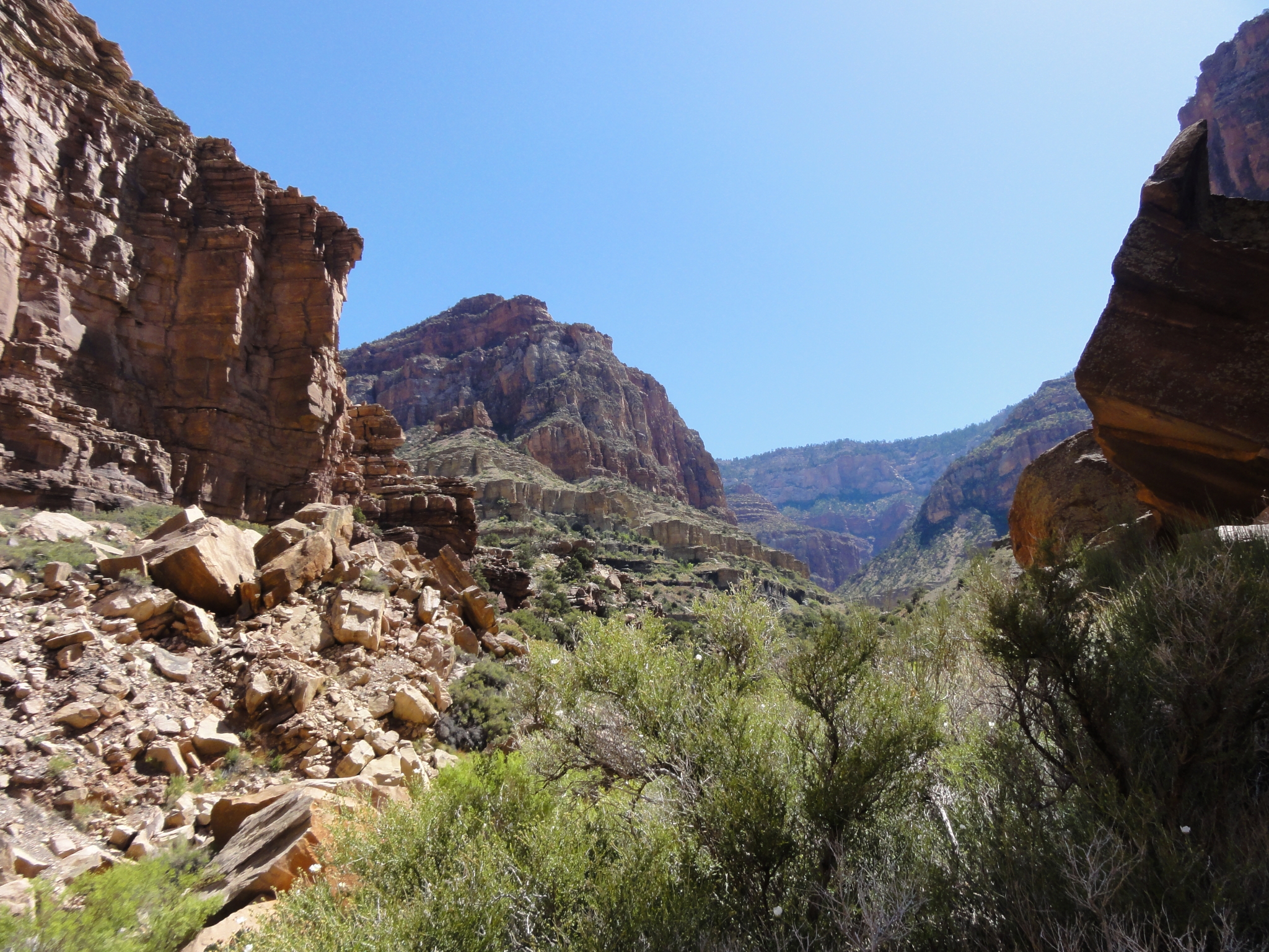 13 Finally reaching the end of the valley and getting ready to turn Northwest to follow Roaring Springs Canyon up to the North Rim. |
 14 The first full view of Roaring Springs. Definitely on my short list of most amazing natural wonders that I've witnessed. These roaring cascades, steep enough to almost be a full waterfall, come directly out of the cliff wall. Evidentally water seeps into the ground from the Kaibab plateau high above and then forms a water table when it hits an impervious rock layer. Then water escapes wherever it can. |
 15 A closer look at Roaring Springs. All of the water for both the North and South rim tourist areas comes from these springs. There's a pump station at the bottom of the springs that pumps water all the way to Indian Gardens where there's another station that pumps it the rest of the way to the South Rim. The pump house here is operated by a family that lives at the Roaring Springs Residence year round. That must be an amazing lifestyle. |
 16 A zoomed-in look at Roaring Springs. |
 17 A short video of Roaring Springs. They really are roaring. |
 18 A zoomed-in look at the springs from higher up the trail. There are actually dozens of springs flowing from the cliff wall wherever the water can escape. |
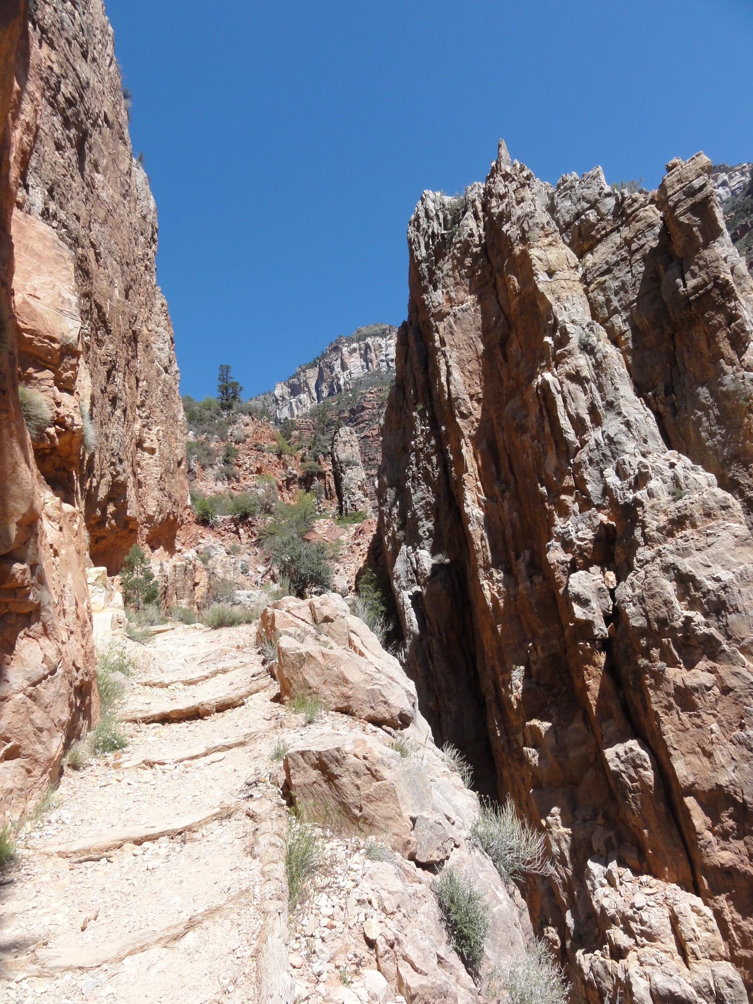
 19 The first glimpse of the North Rim still over 3000' above. |
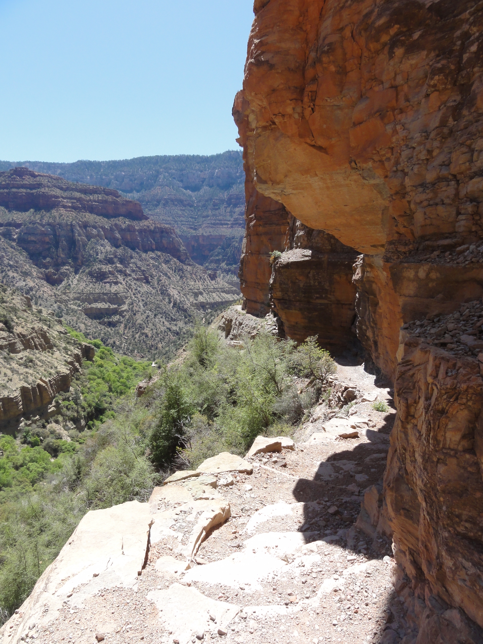
 20 The terrain here is awesome. |
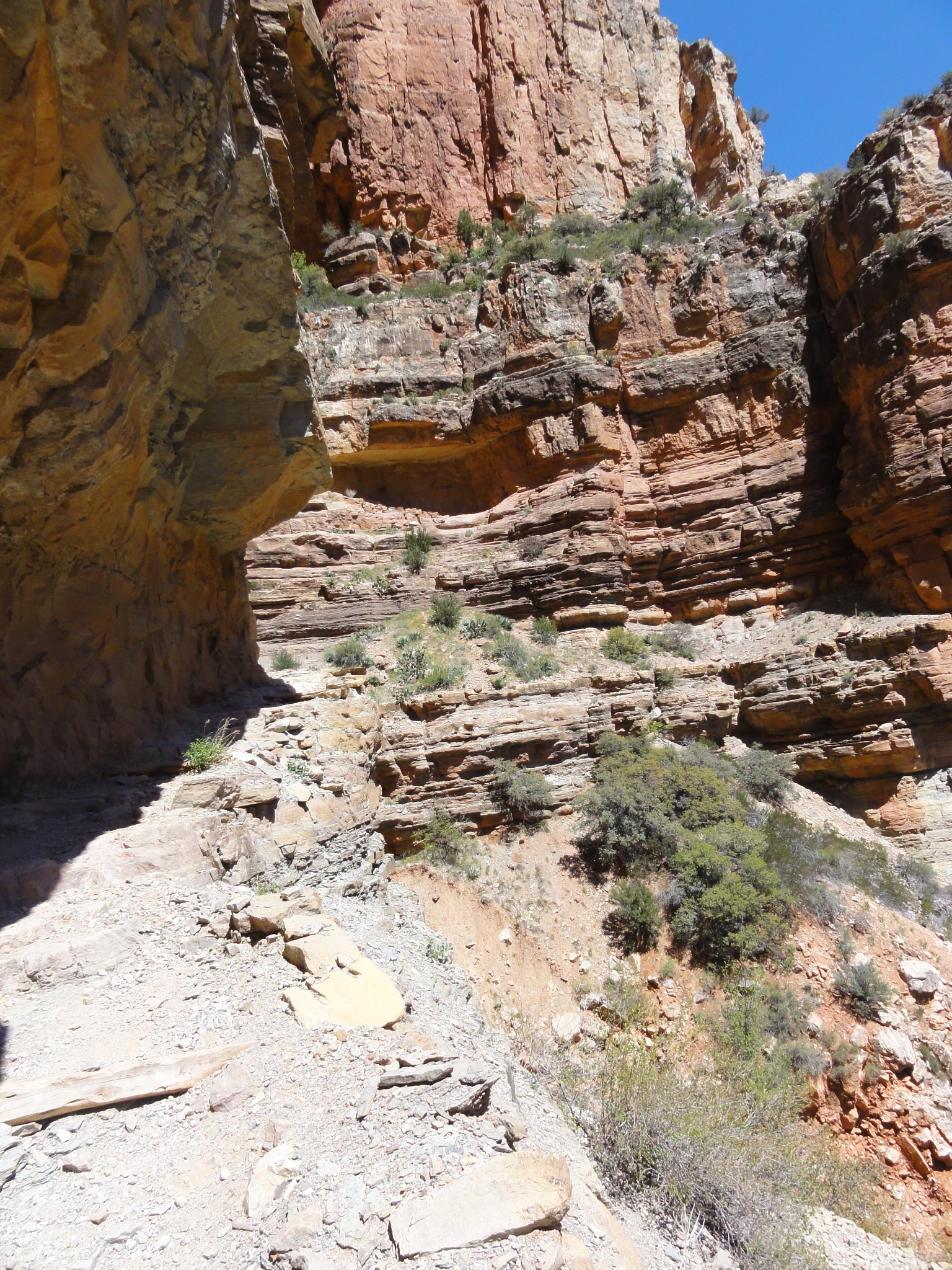 21 Even more dramatic than in The Box, the trail here is blasted straight out of the side of the cliff. |
 22 A look back at the trail carved out of the cliff. |
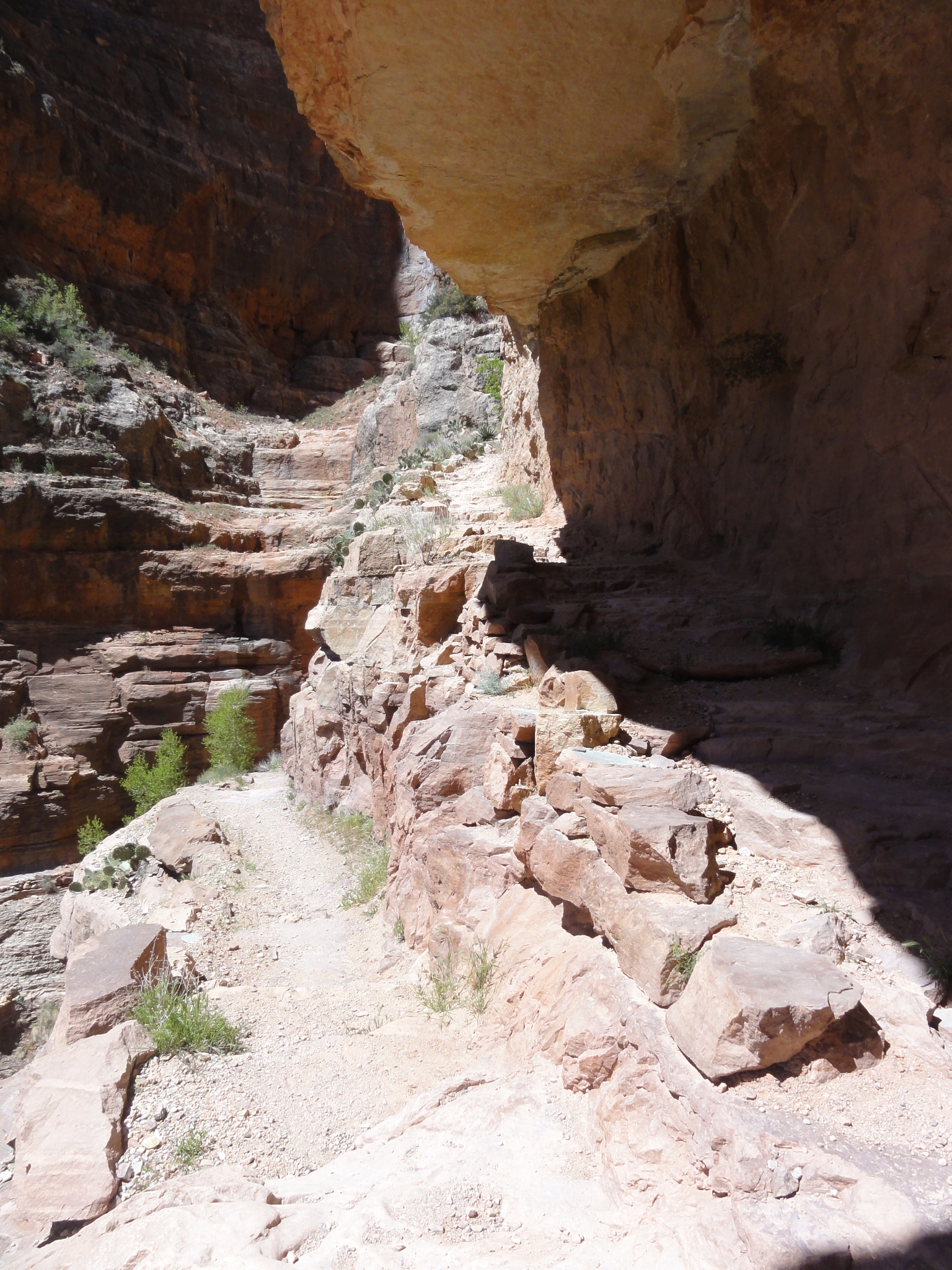 23 Entire sections of switchbacks have been blasted out of the cliffs. Amazing. |
 24 Talk about a trail through rugged terrain. This area is only passable because the Roaring Springs Fault has created a gap in the cliff walls. Otherwise there would be no animal passage, human or otherwise, at this point. |
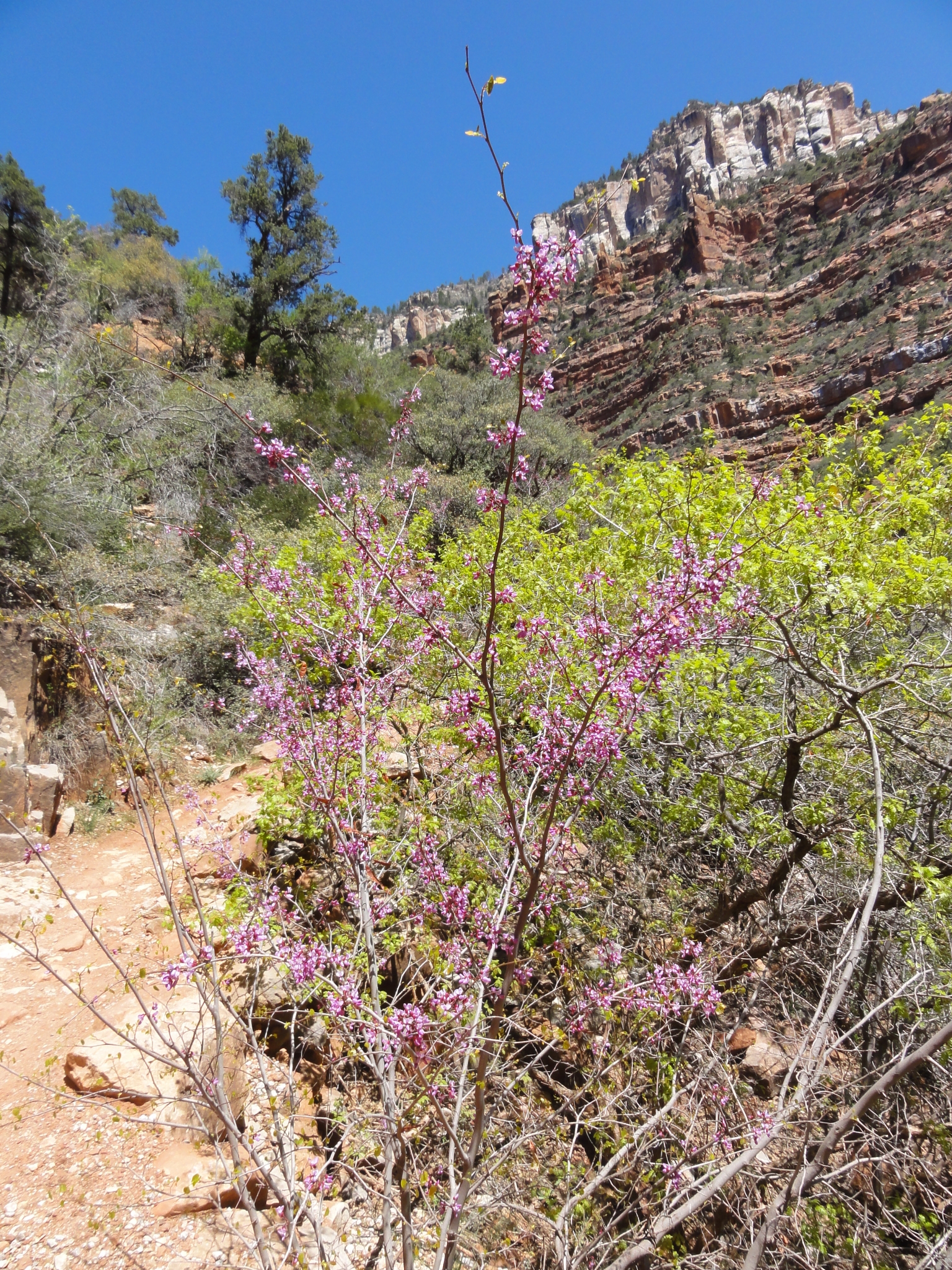
 25 If you look closely, you can see the trail hugging the cliff wall on the left side of the canyon. Not the place to be if you're afraid of heights. |
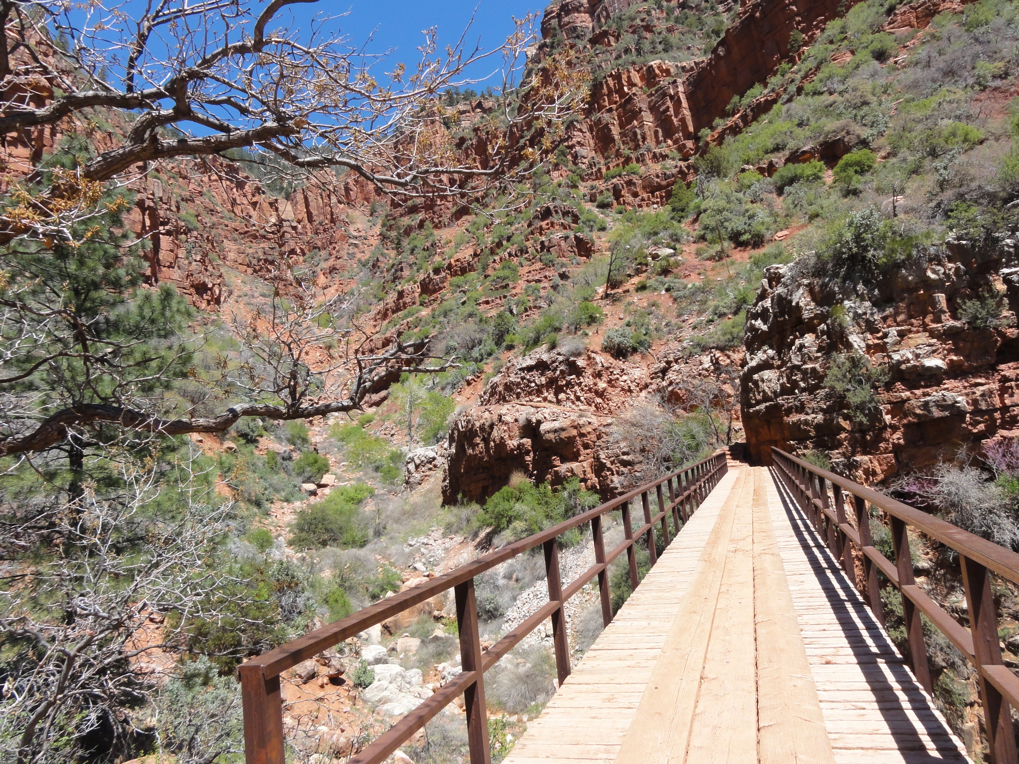
 26 There wasn't a whole lot of color at the lower elevations, but the wildflowers are starting to appear now. |
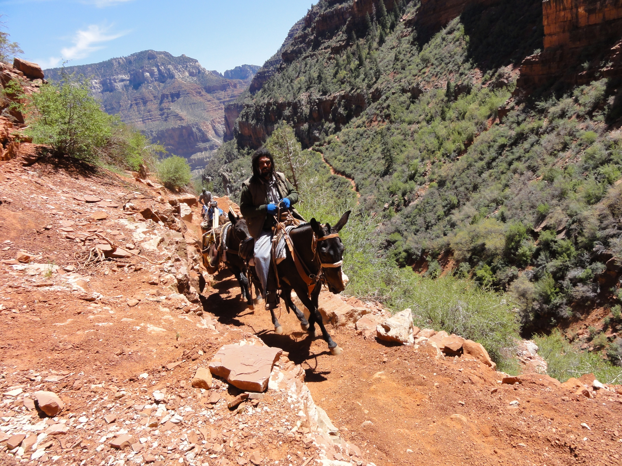
 27 The Bridge in the Redwall. This bridge spans high across the canyon. It was built in 1966 when the North Kaibab trail was re-routed after a flood destroyed most of the previous trail. |
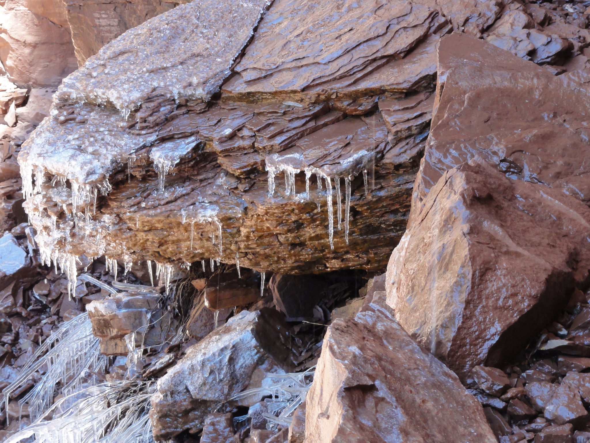
 28 Another mule train, but this time a trail maintenance crew. The mules were carrying shovels and a wheel barrow, and the handler was rather onery. |
 29 A small flow of water across the trail freezes into iceicles as soon as it hits the shade. The temperature is probably in the low 40s now, but I'm generating so much heat I don't feel a thing. |
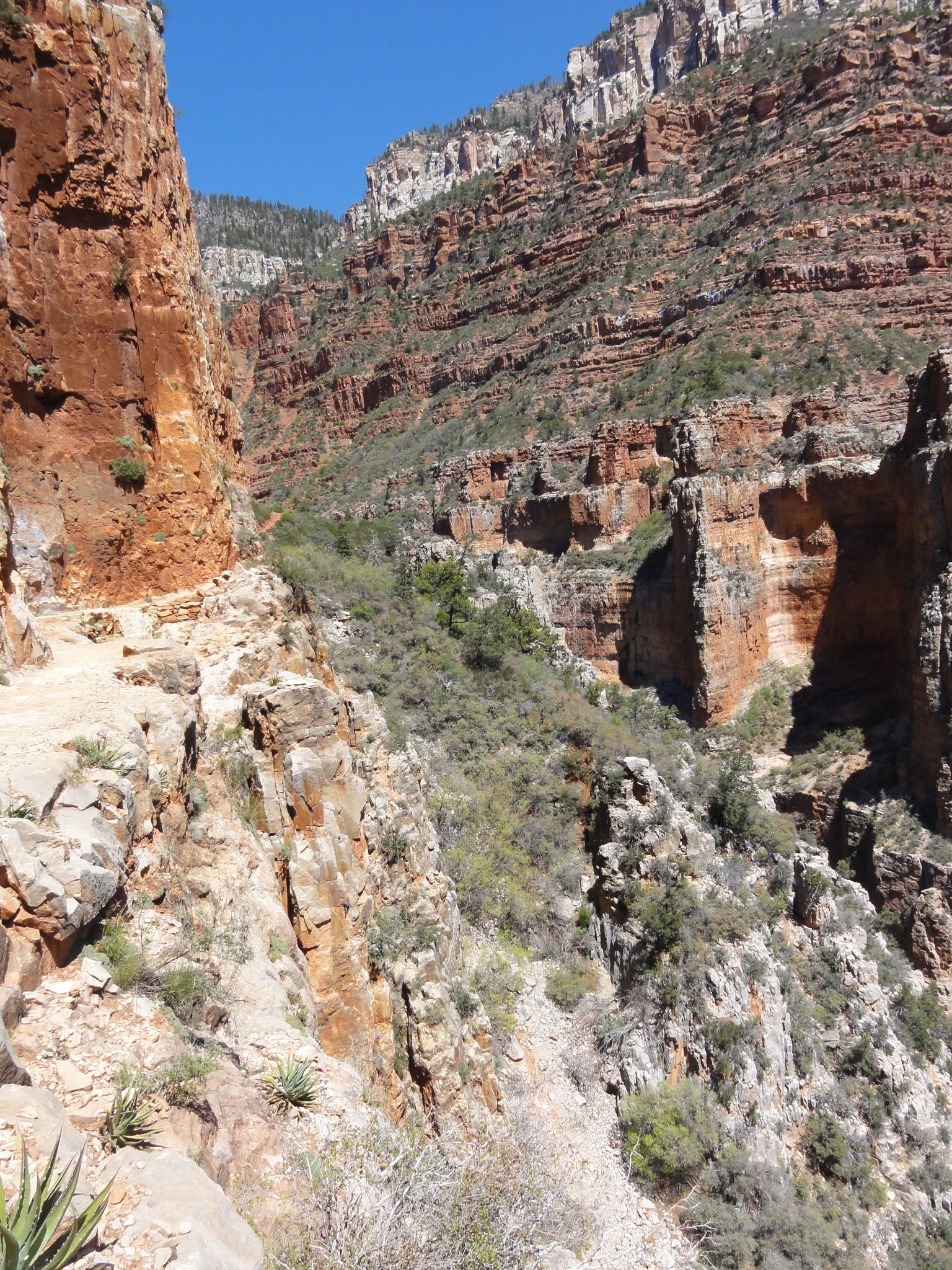
 30 Now fully into the Redwall layer of rocks. Very rugged and very red. Here again the trail is blasted straight out of the cliff wall. |
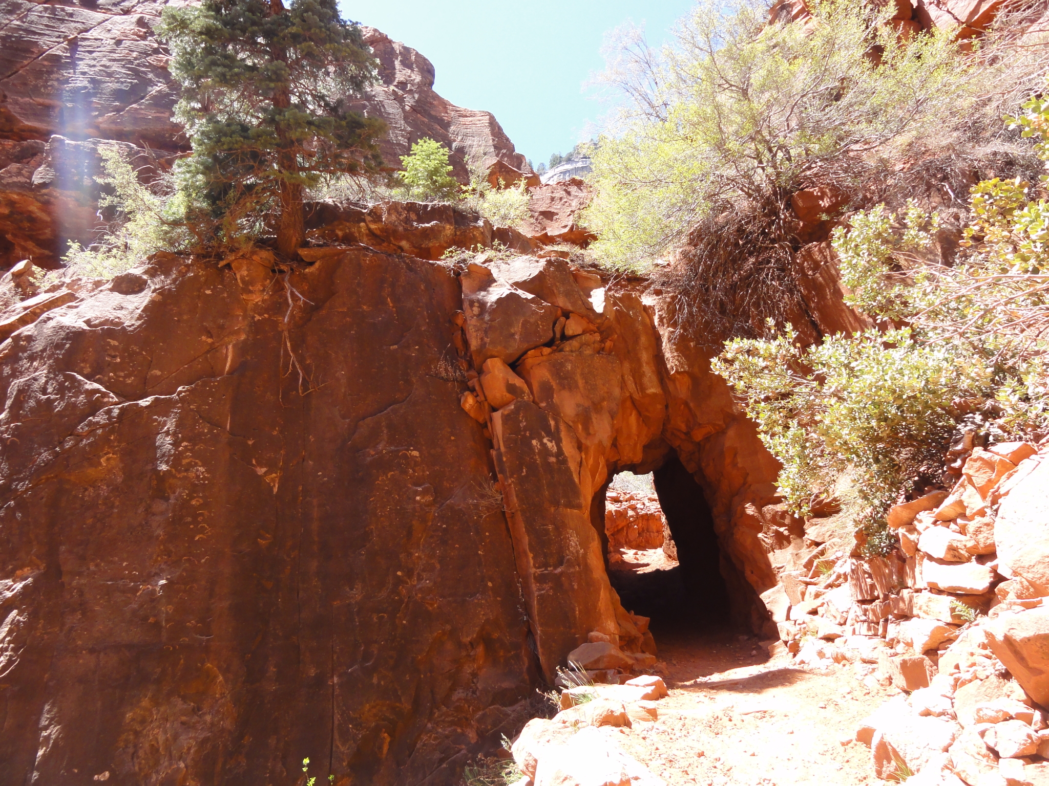
 31 Looking down Roaring Springs Canyon at an elevation just above 6000'. You can see the trail winding up the canyon and crossing the Bridge in the Redwall far below. |
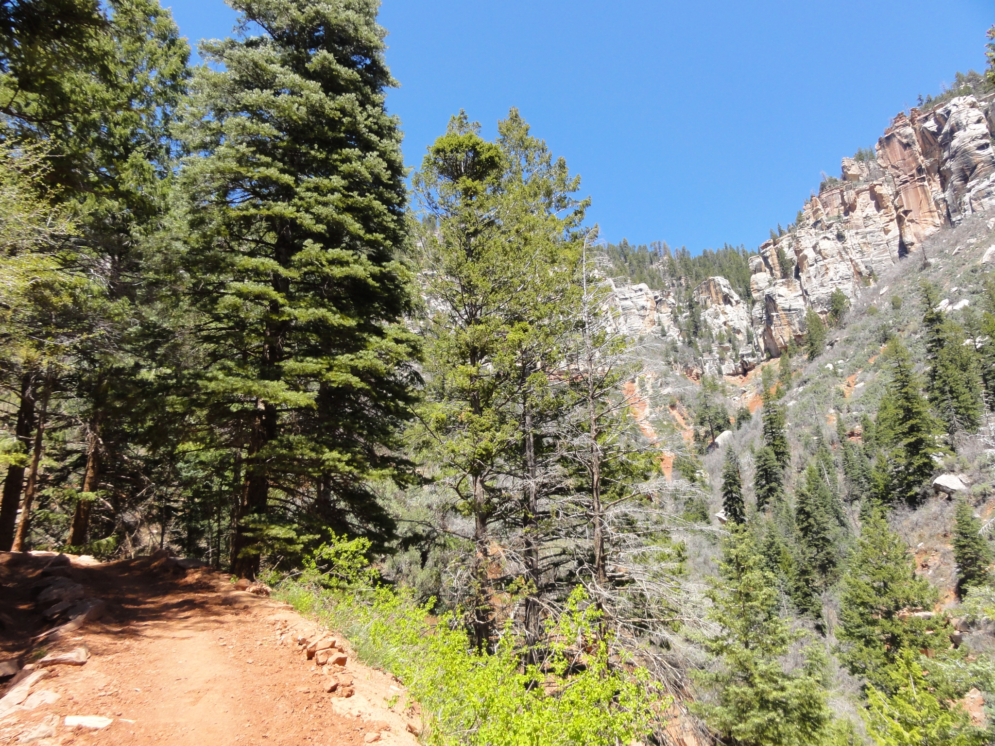
 32 The Supai Tunnel created by the Civilian Conservation Corps (CCC) in the 1930s. About two miles left to go to the North Rim. |
 33 The trail starts to transition between climate zones just below 7000', much like the Cactus to Clouds trail. There is now less and less desert and chapparal and more pine and aspen. It's a good thing the surroundings are beautiful, because I'm starting to fade fast. This section of trail is steep, the oxygen is starting to get a bit thinner, and I've been moving non-stop since Cottonwood Camp. My uphill jog slowly turned into a power hike, which has since lost its power. I'm getting a cramp in my left quad, and I'm staring at the altimeter counting down the elevation until I hit the rim. It looks so close, but it's still 1200' above me! |
 34 The first official snow sighting at around 7000'. Actually it was also pretty much the only snow along the trail below the North Rim. |
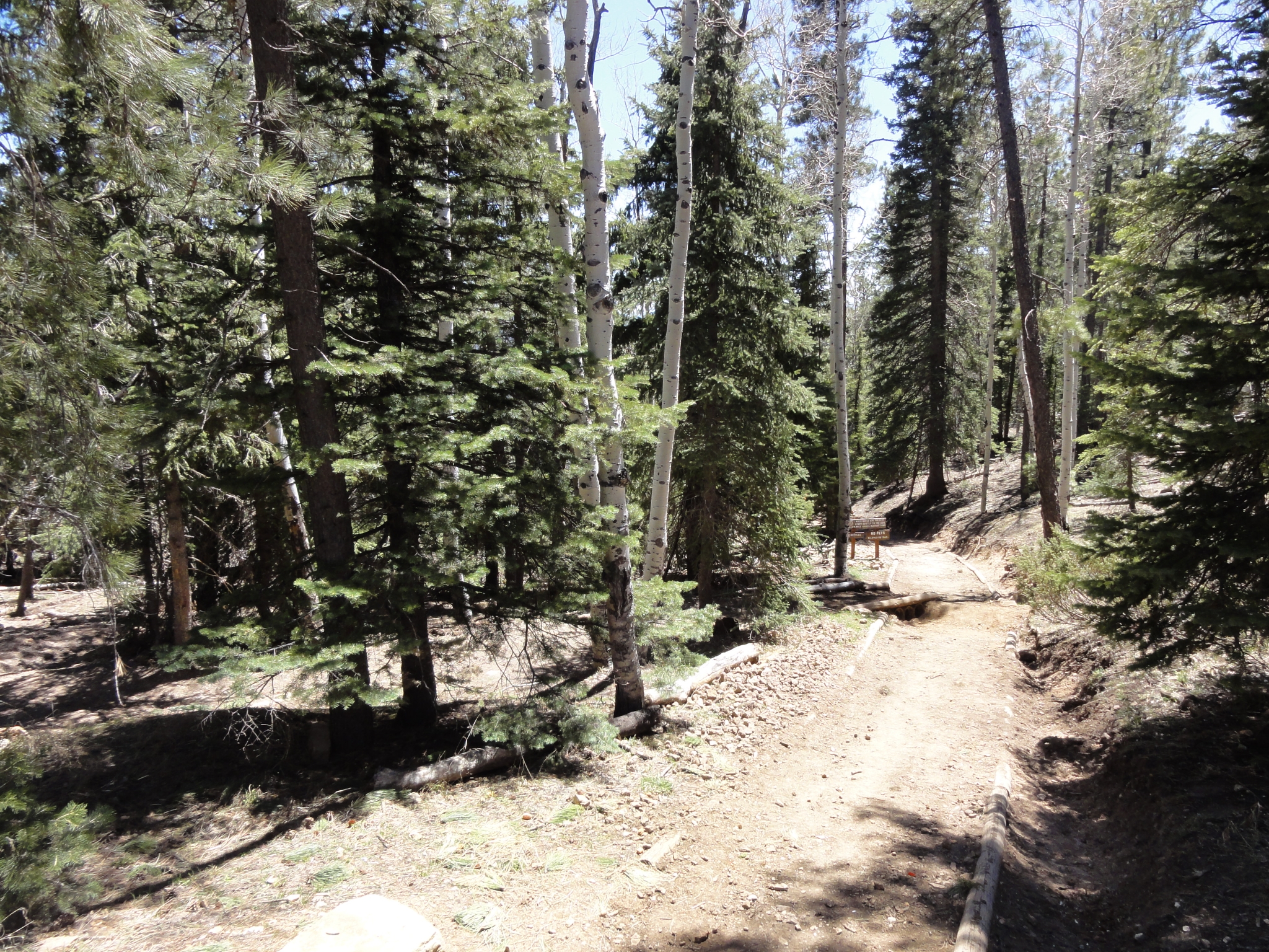
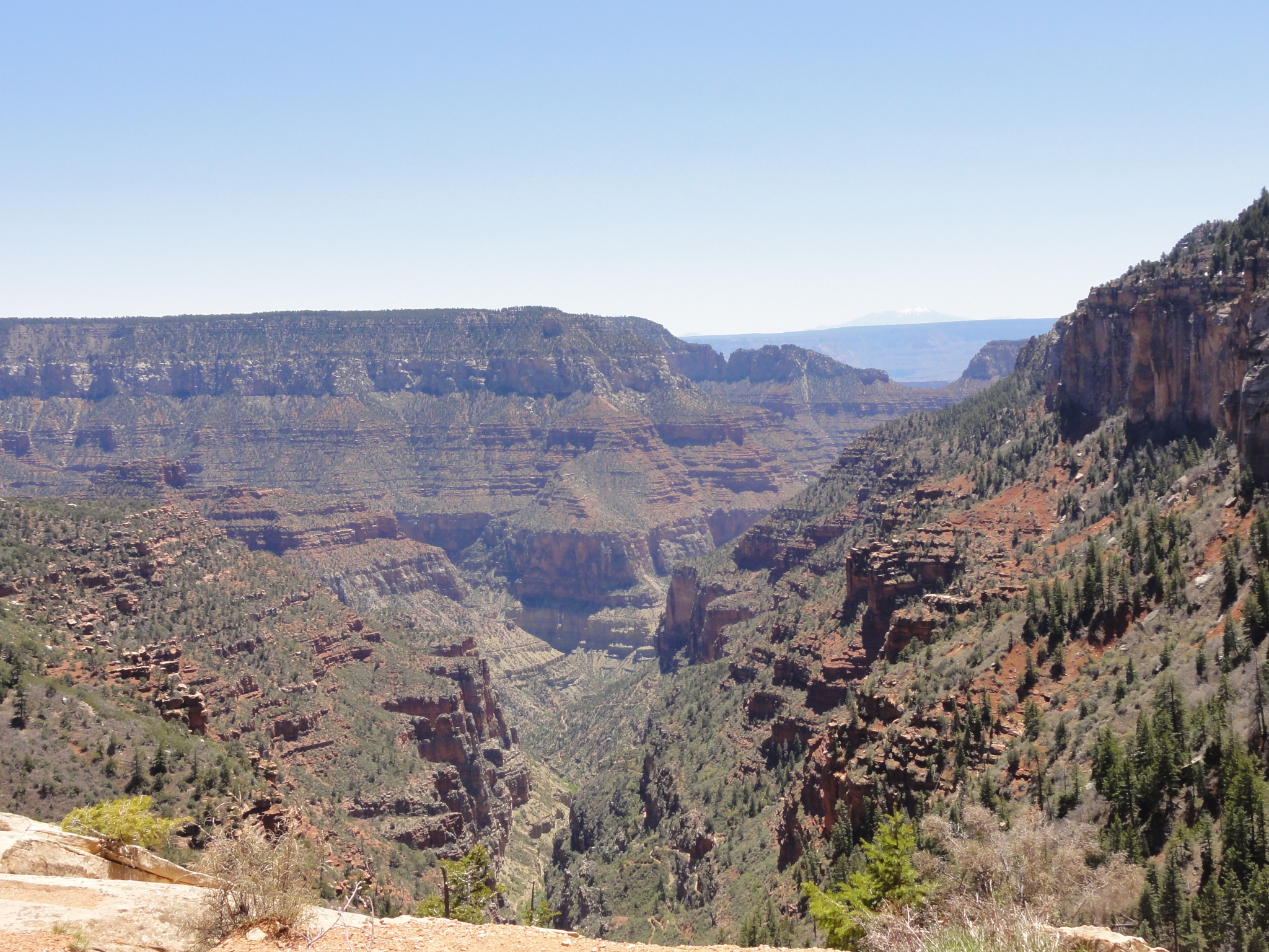 35 Now back up in the Coconino Sandstone layer less than 1000' below the North Rim. From here you can see where Roaring Springs Canyon joins with Bright Angel Canyon. You can also see the South Rim in the distance. And you can just barely see a snow-capped peak in the far distance, which is one of the San Francisco peaks near Flagstaff over 70 miles away. I'm really starting to crash, but the rim is getting close... |
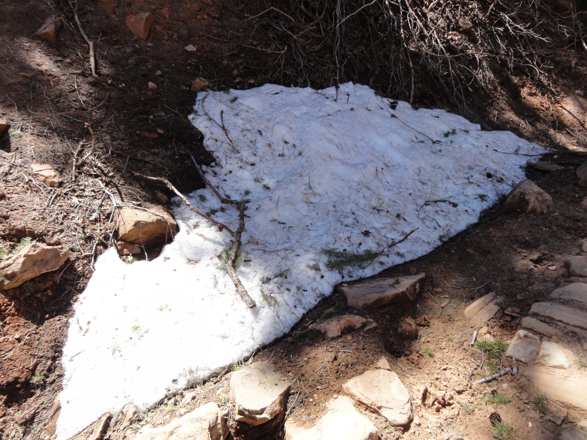
 36 The North Kaibab trailhead at 8250' above sea level. I made it! 22 miles and over 6000' of elevation gain. Another tough but successful trail running day complete!! Oh wait, I'm only halfway done, I still have to go back :( It's 12:41pm. I've been trying hard not to obsess about running time and pace, but I still had a goal in mind of 14 hours for the full R2R2R round-trip. I made it to this point in 6:48. This half of the journey was a little shorter distance but with more elevation gain, so I feel like I'm still right on schedule. |
 37 There's still a fair amount of snow on the North Rim in the shady areas. A few weeks ago it was probably pretty deep up here. Tourist services don't reopen for two more weeks (May 15th). The temperature is cool but comfortable, and I hang out for about 20 minutes eating, trying to strectch out the kinks, and preparing for the return trip. |
 38 Heading back down the North Kaibab trail. I'll be retracing my steps all the way back down to the Colorado River. Even though the downhill is steep, rocky, and fast, I'm feeling much better than I was on the uphill, and I'm still confident at this point that I'll hit my 14 hour goal. |