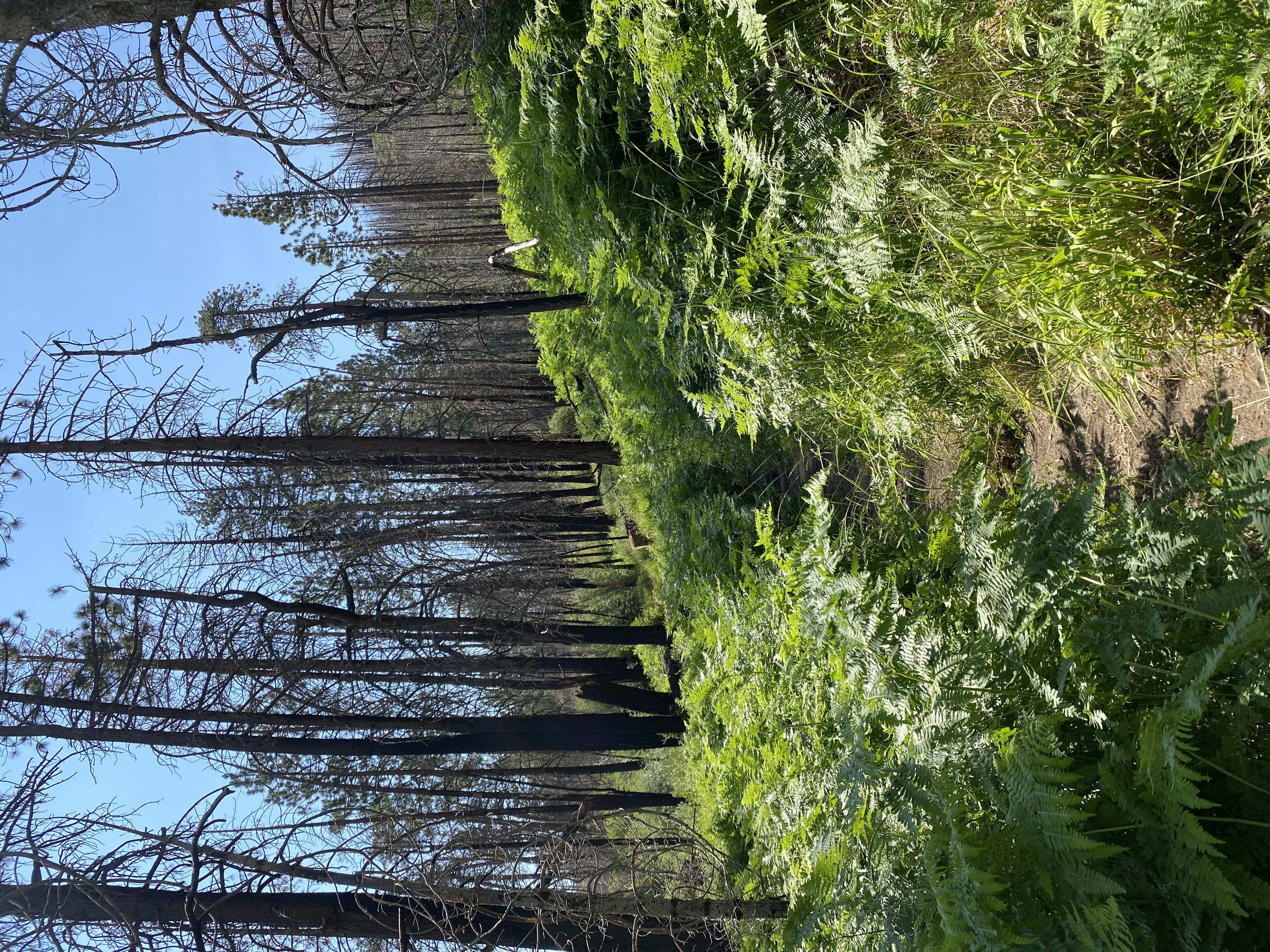
Coming-up the South Fork trail. It's heartbreaking to see the remains of the burnt out forest. But the dense ferns are a welcome sight.
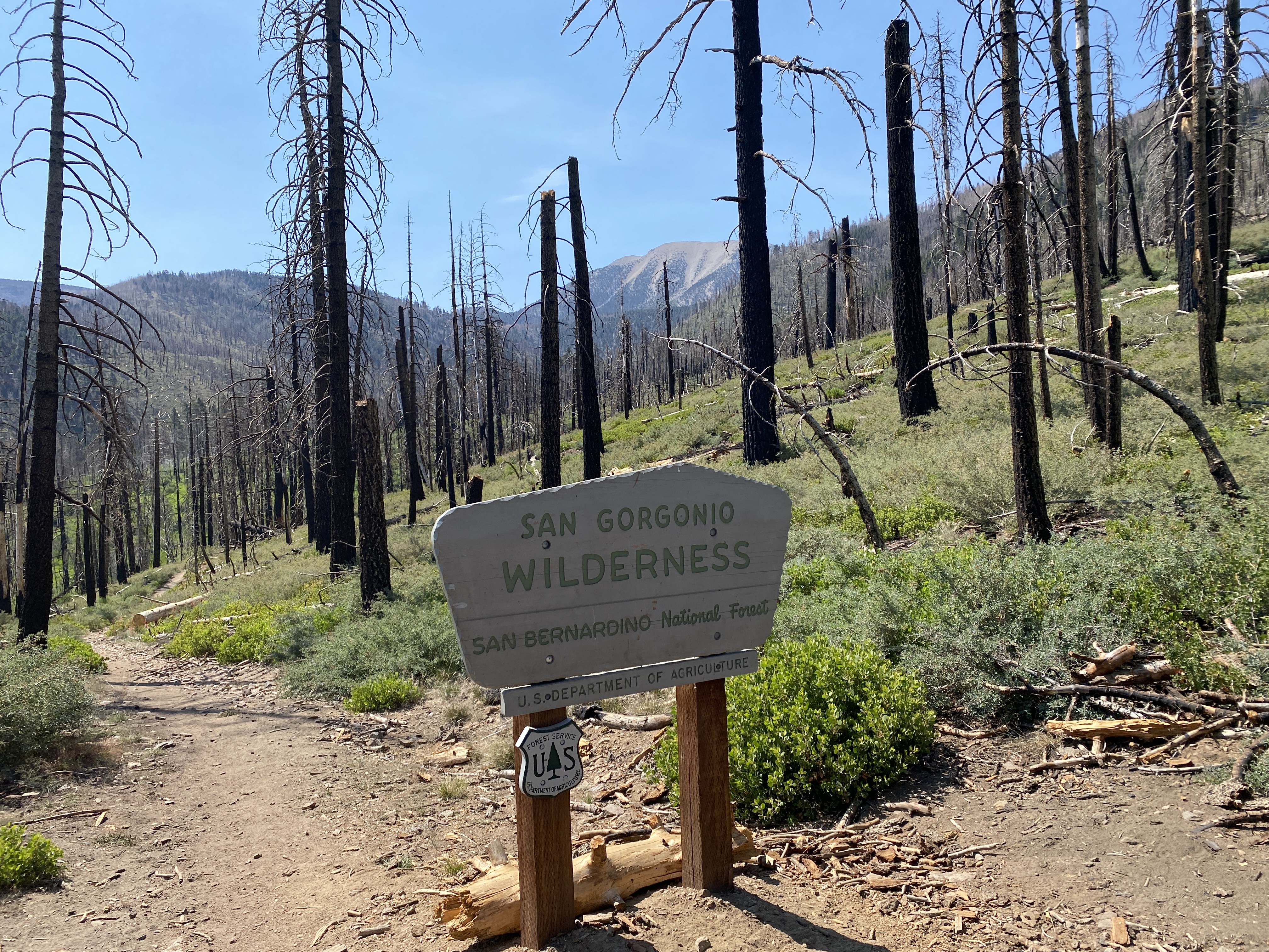
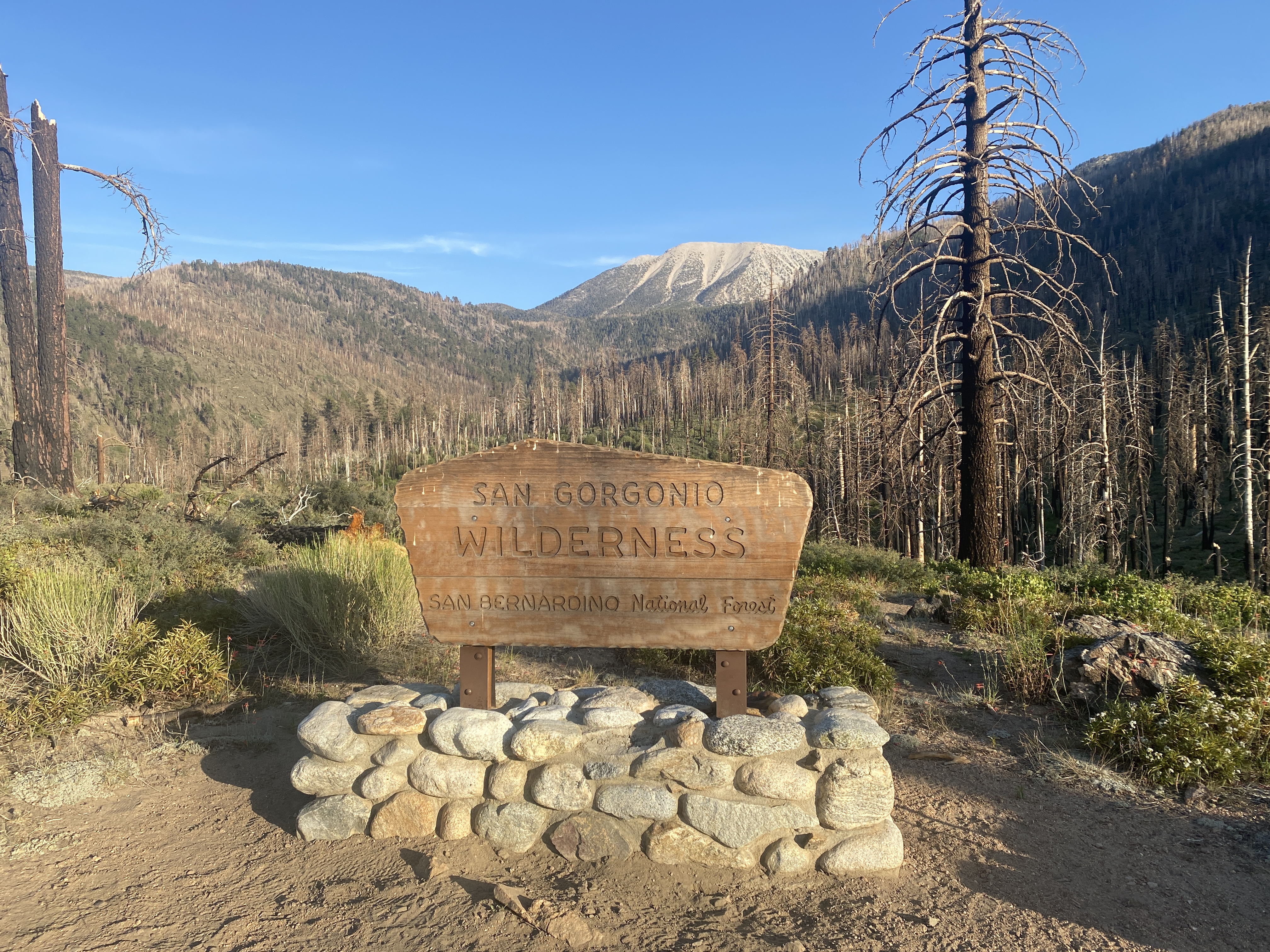
Entering the San Gorgonio Wilderness with the peak in the background.
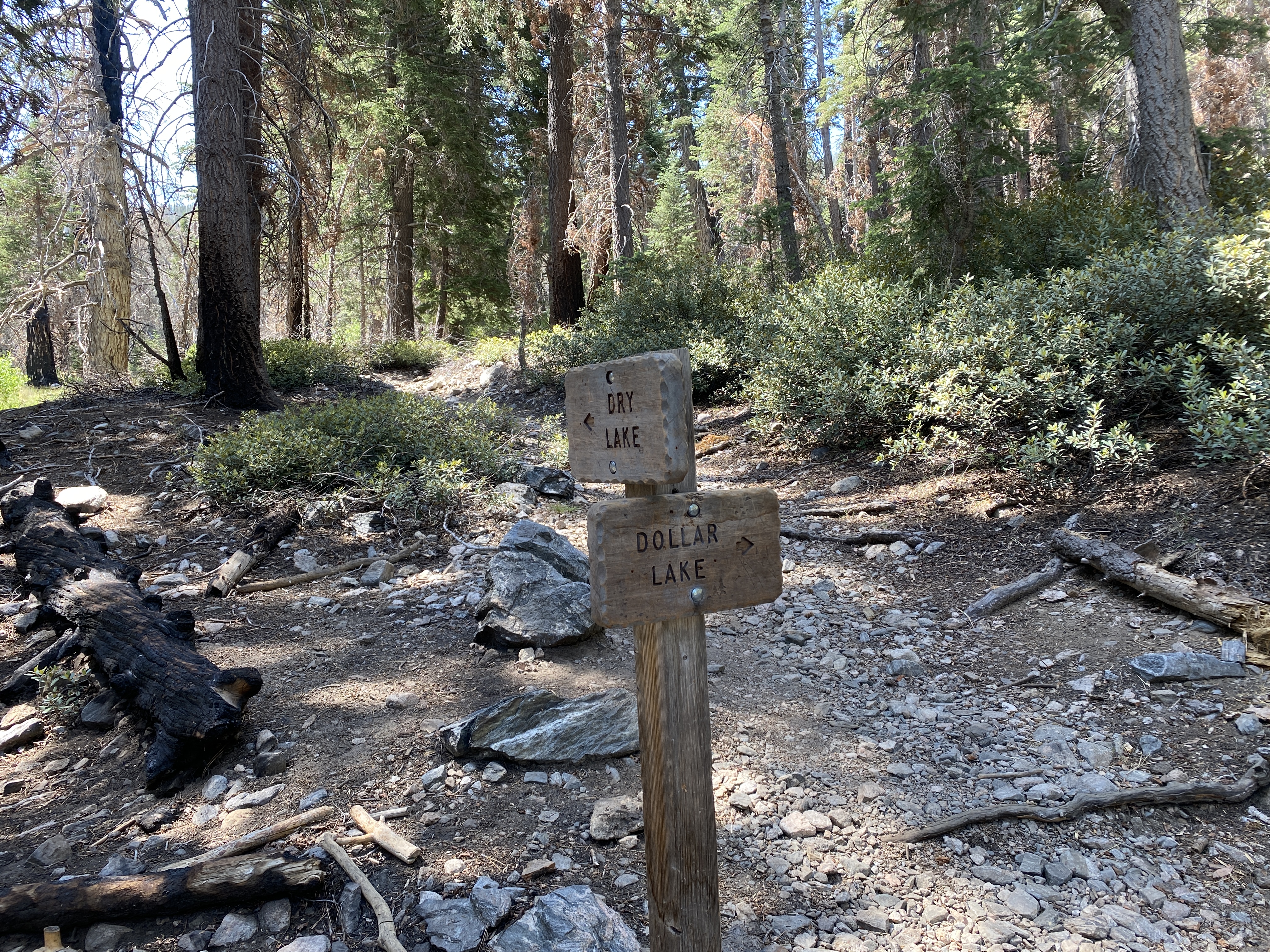
At the base of the lollipop loop. Last time I went clockwise, so this time I went the opposite direction.
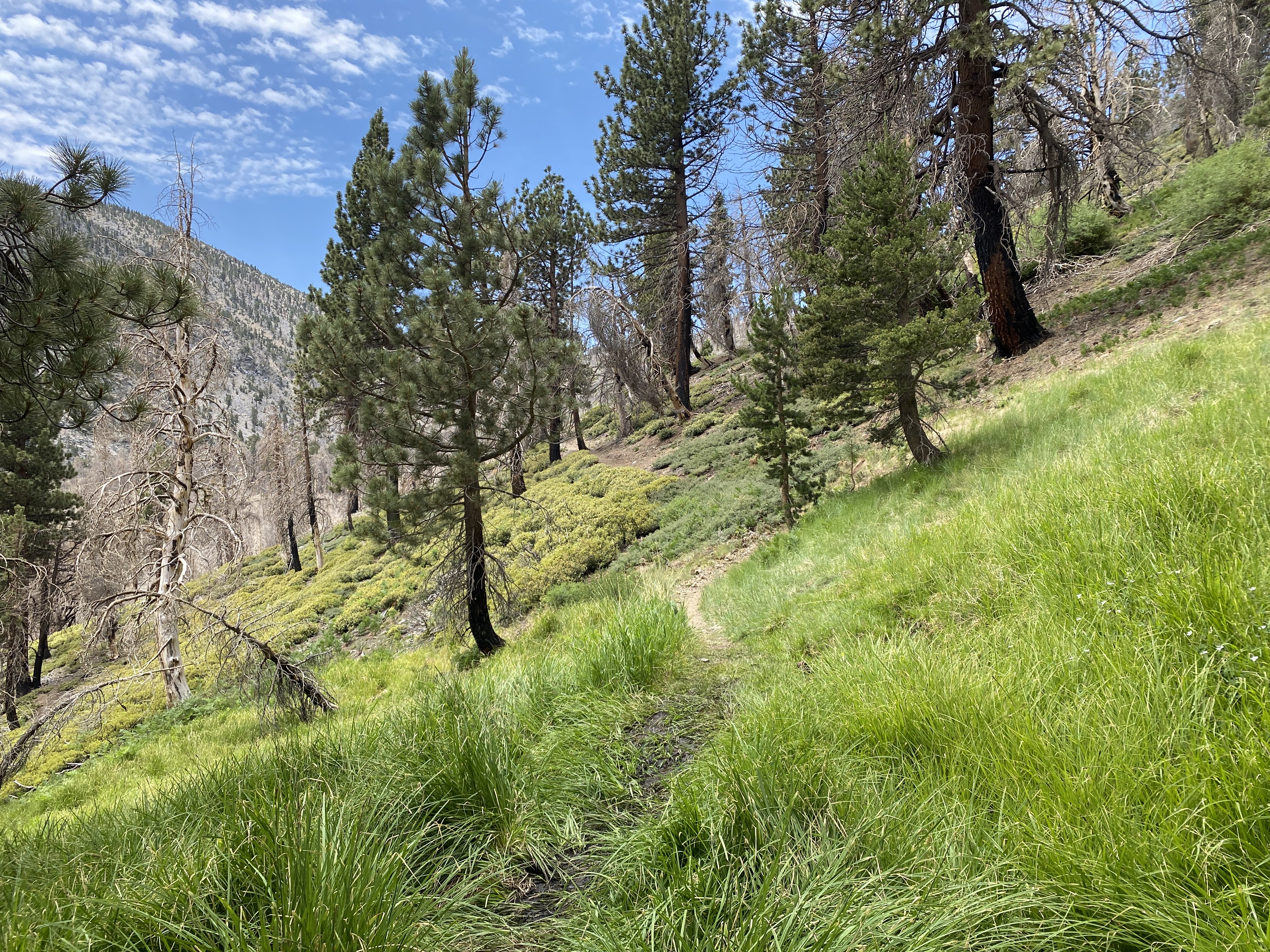
A nice area of green below the saddle.
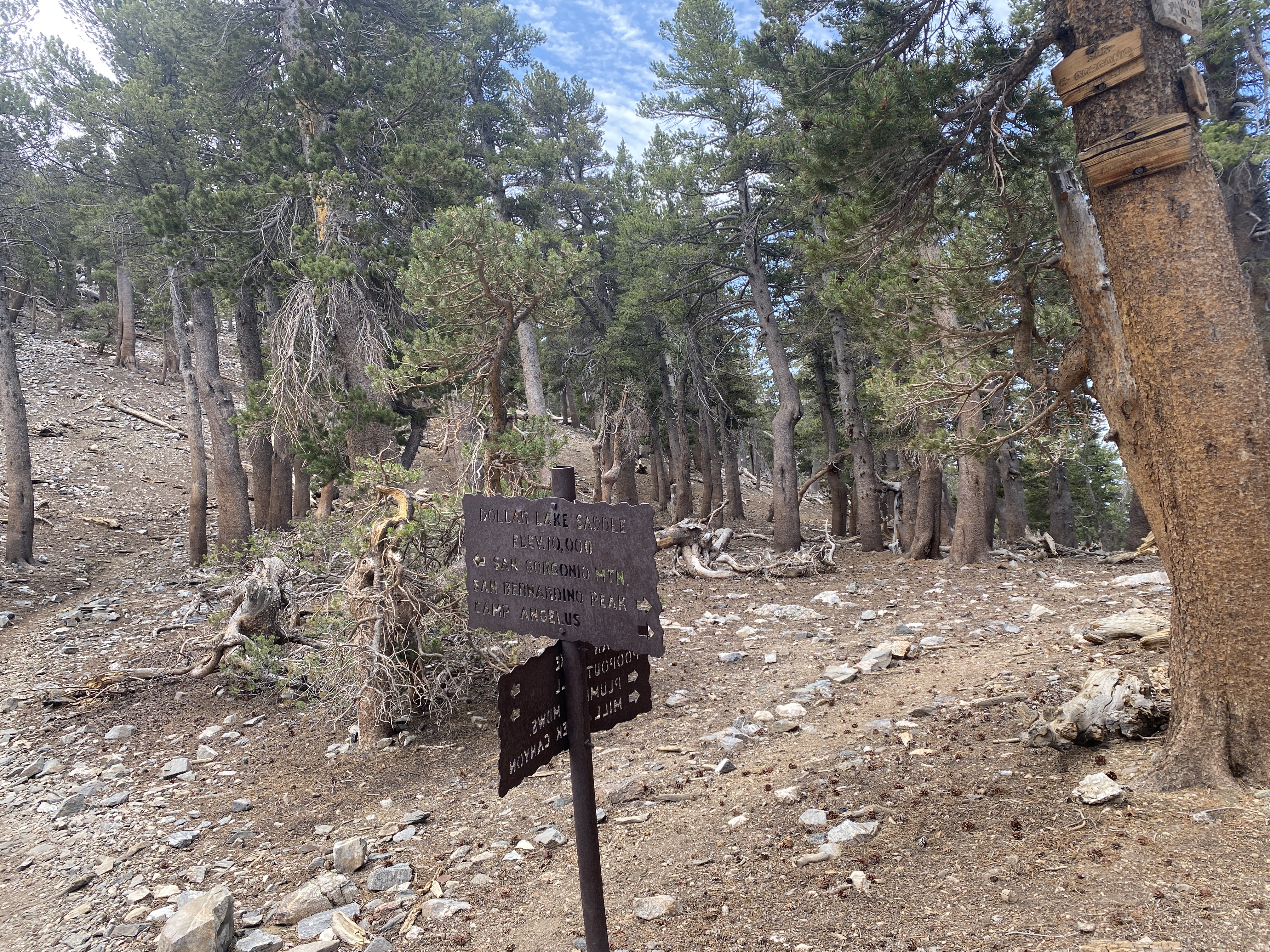
Dollar Lake Saddle at 10,000'.
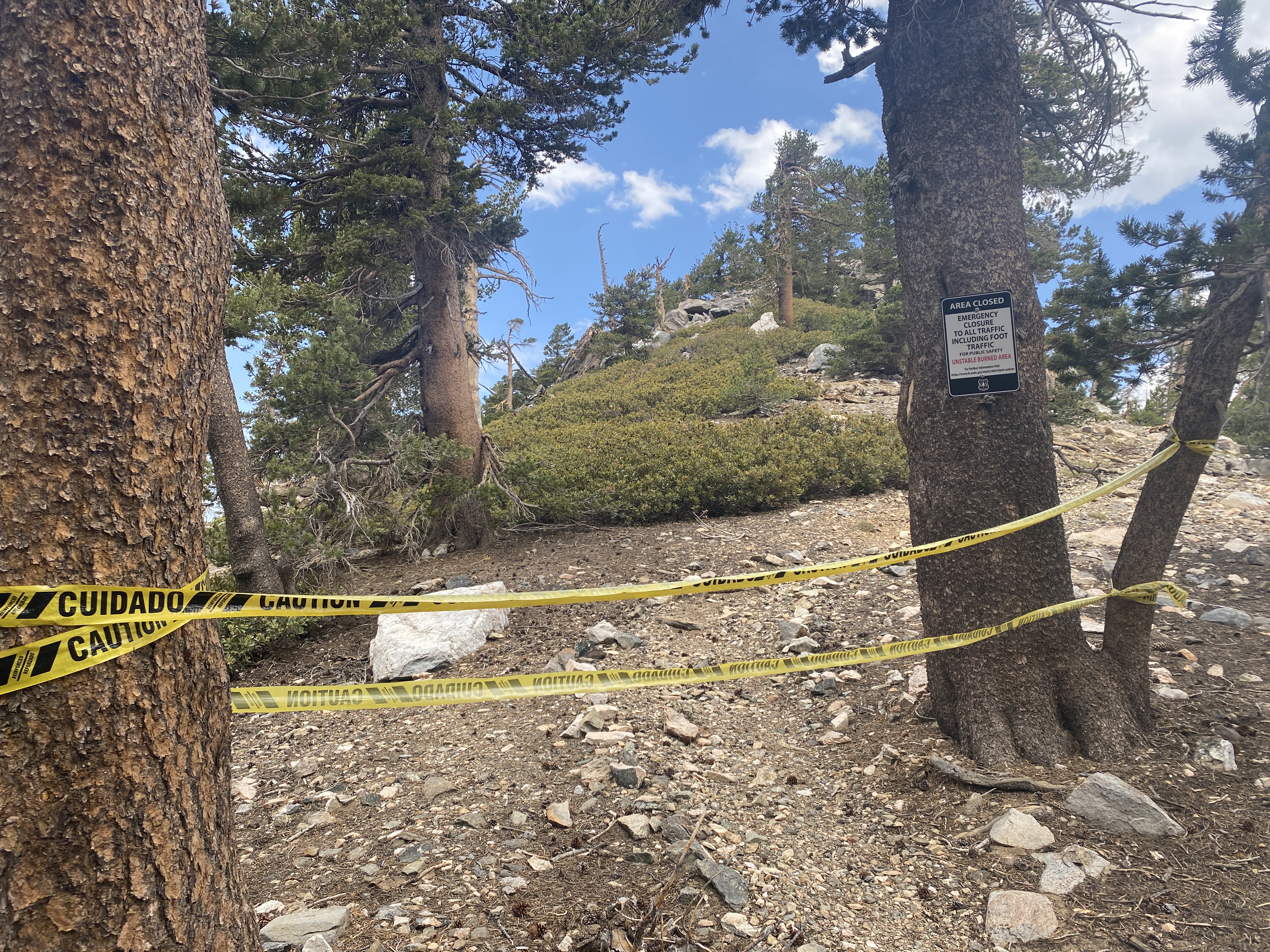
The San Bernadino Peak trail is still closed from the El Dorado fire. Fortunately it doesn't look like the ridgeline was too badly hit.
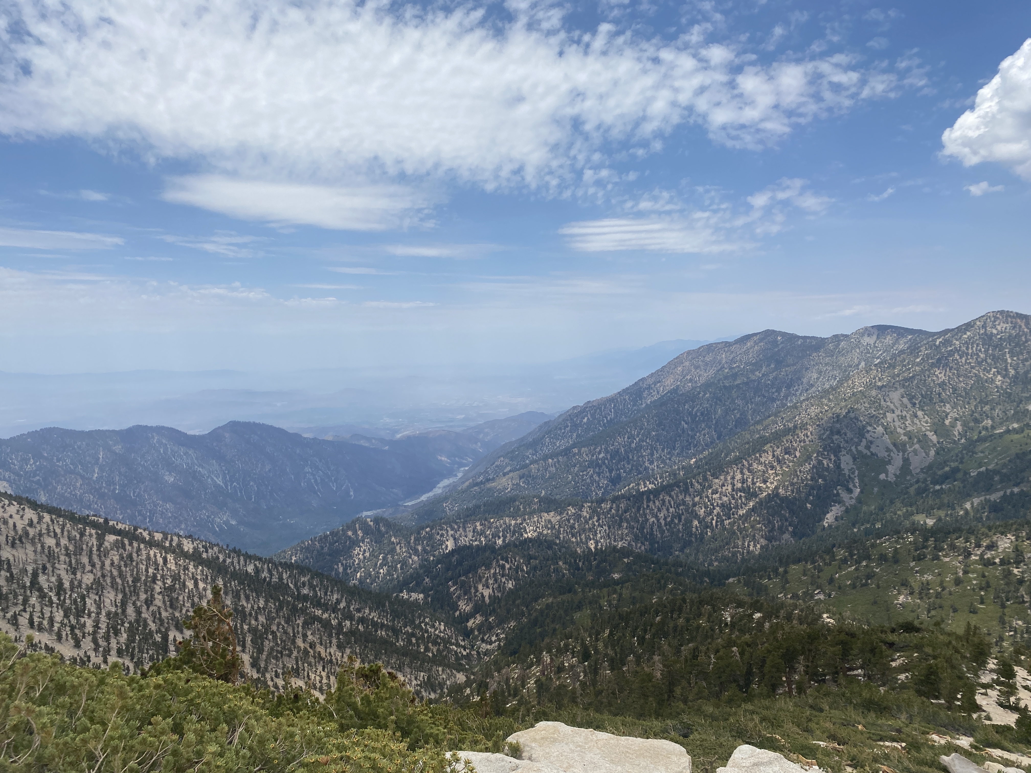
Plummer Meadows and the Momyer trail below look like they were spared.
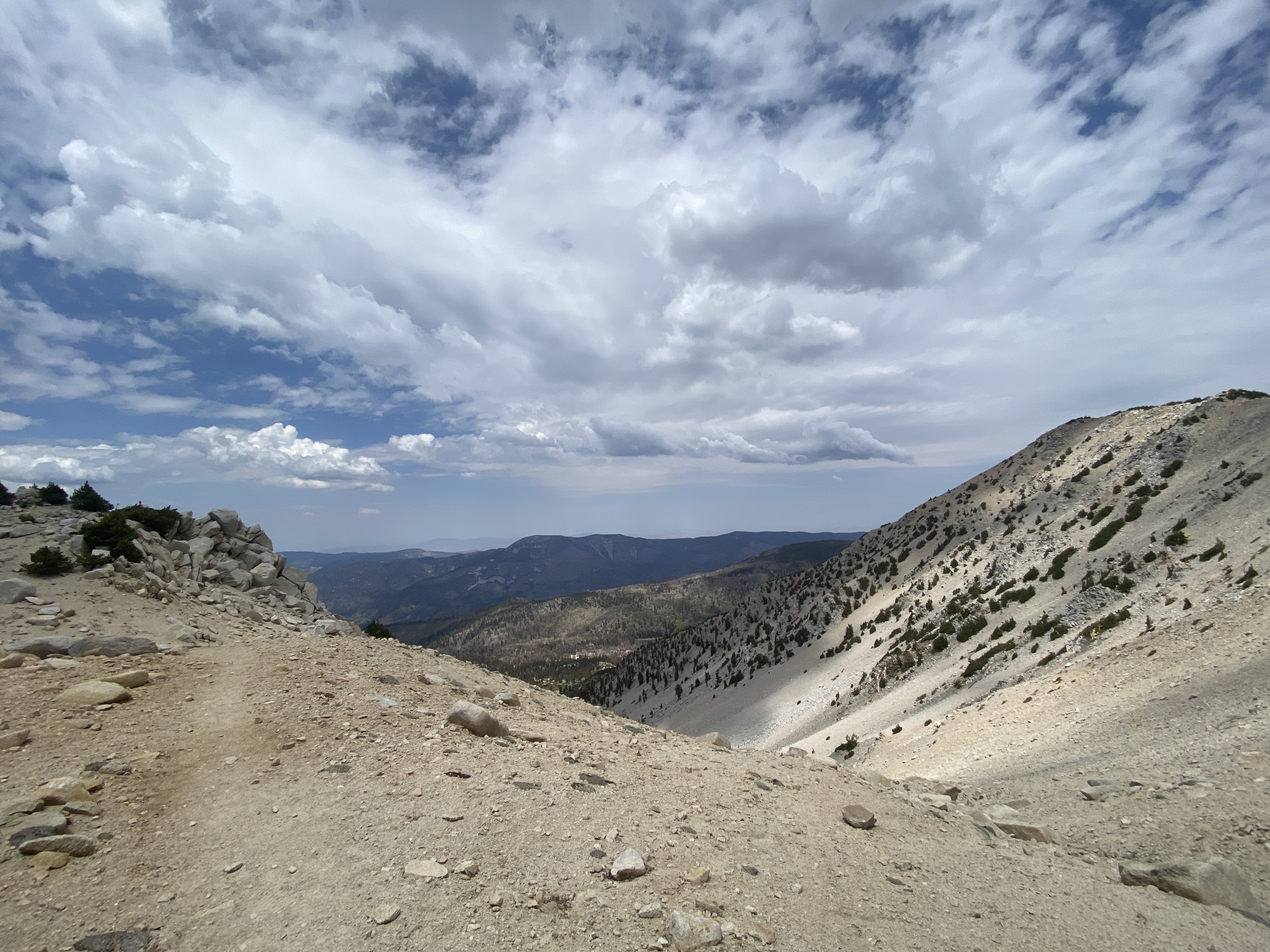
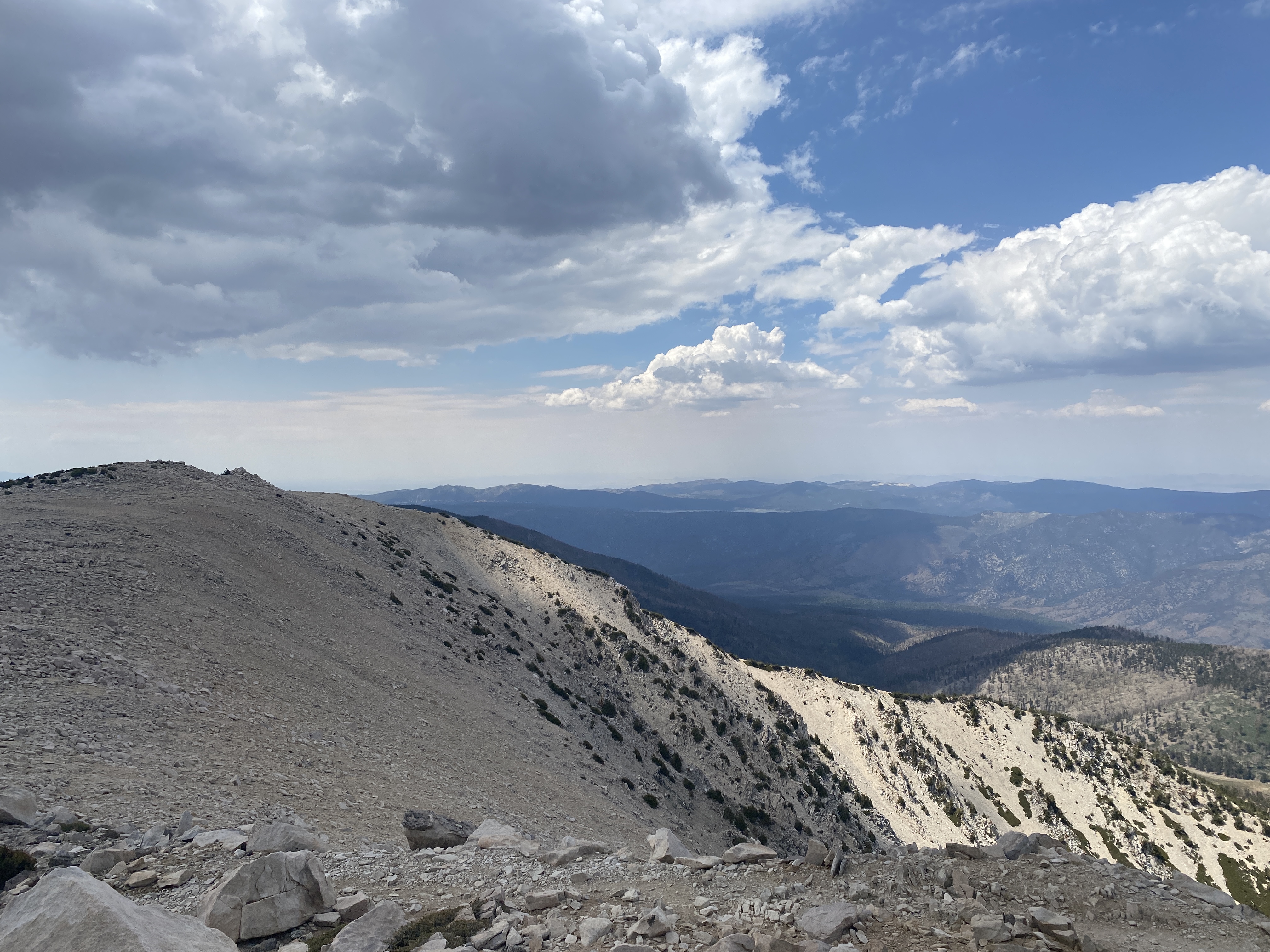
Nice lighting on the bowls around Jepson Peak.
Made it to the top. Big Bear lake is just visible in the distance. Not a drop of snow on top this year. In a decently wet year, there would still be large…
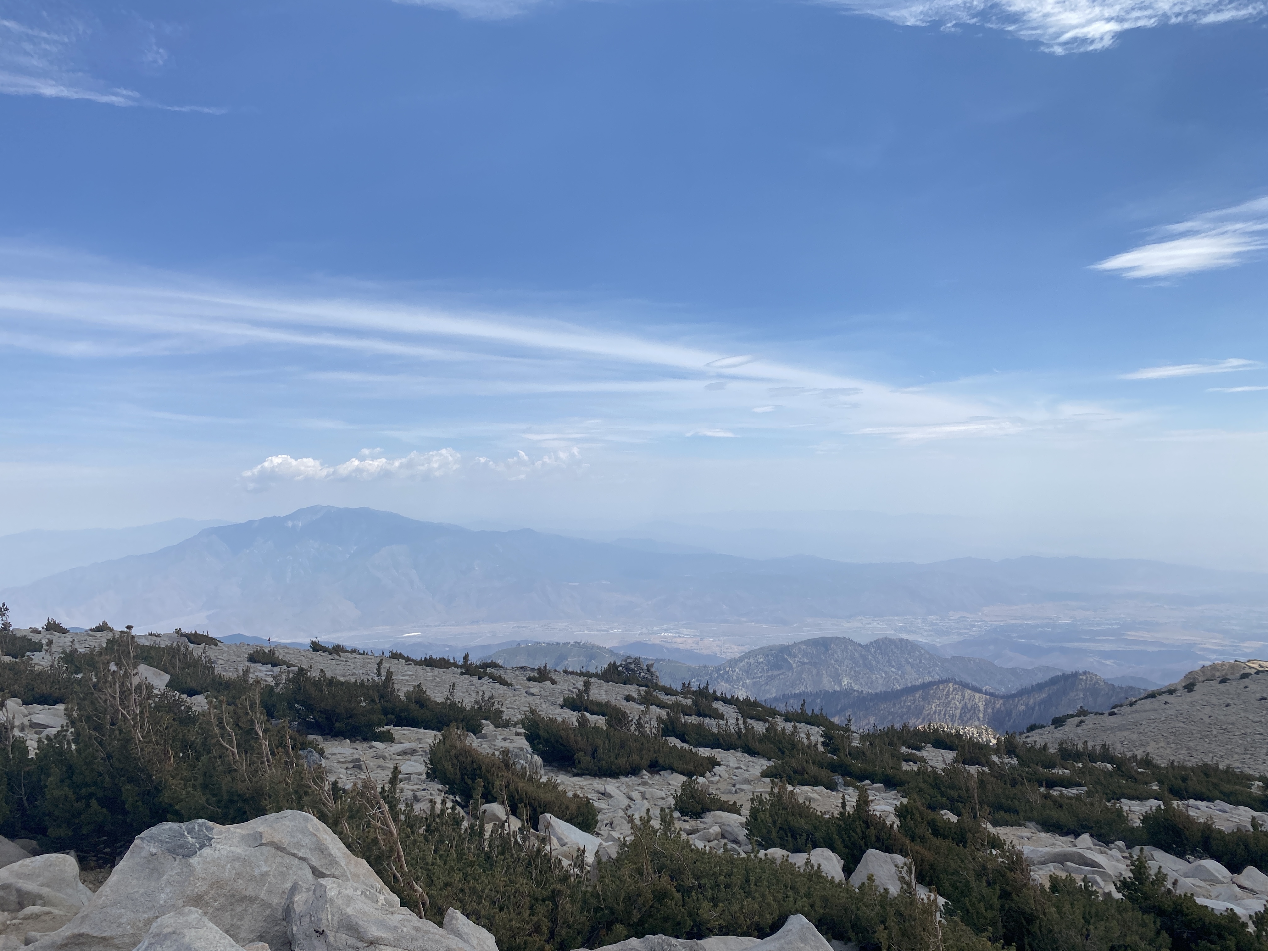
San Jacinto across the Coachella Valley.
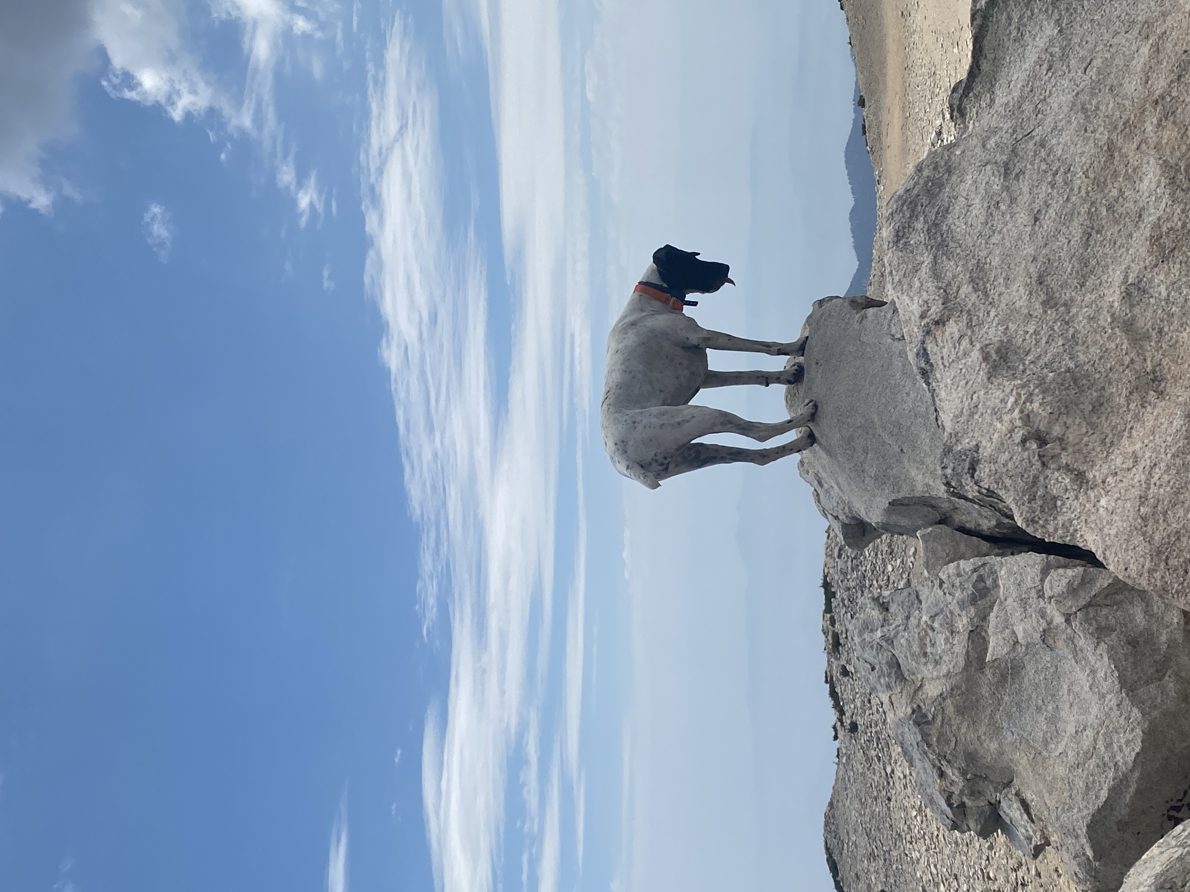
A billy goat dog on the summit!
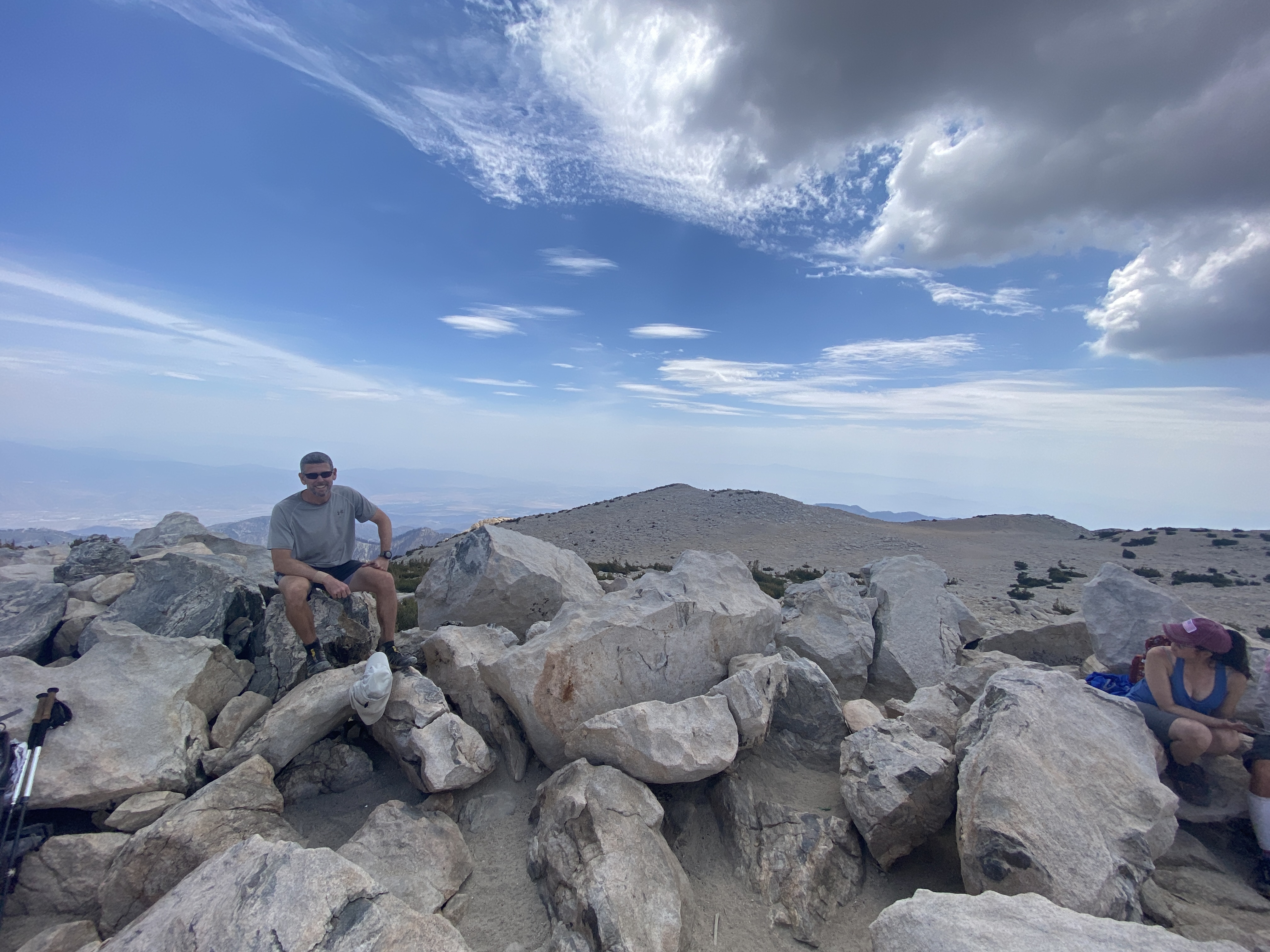
I rare photo of me on the summit. I spent over an hour on top chatting with a really cool couple. I normally don't socialize much on summits, but these folks…
Heading back down the other side of the loop, here passing by the crash site.
Approaching Dry Lake and things are starting to get green again.
Dry Lake. Completely dry this year, but it made for a gorgeous meadow view.
Leaving Dry Lake. That's the rock Dad and I ate lunch on a couple years ago. That year, the water was right up to the rock even later in the summer!
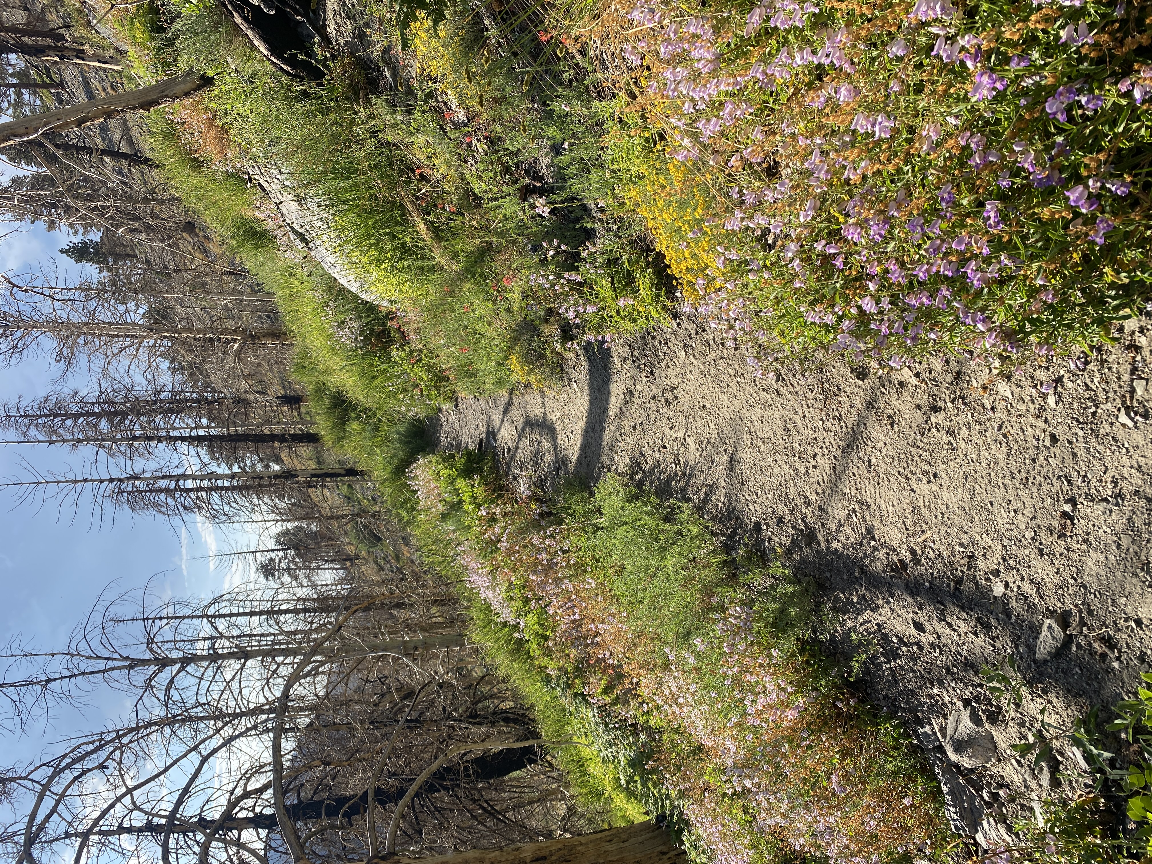
There's still quite a few wildflowers out.
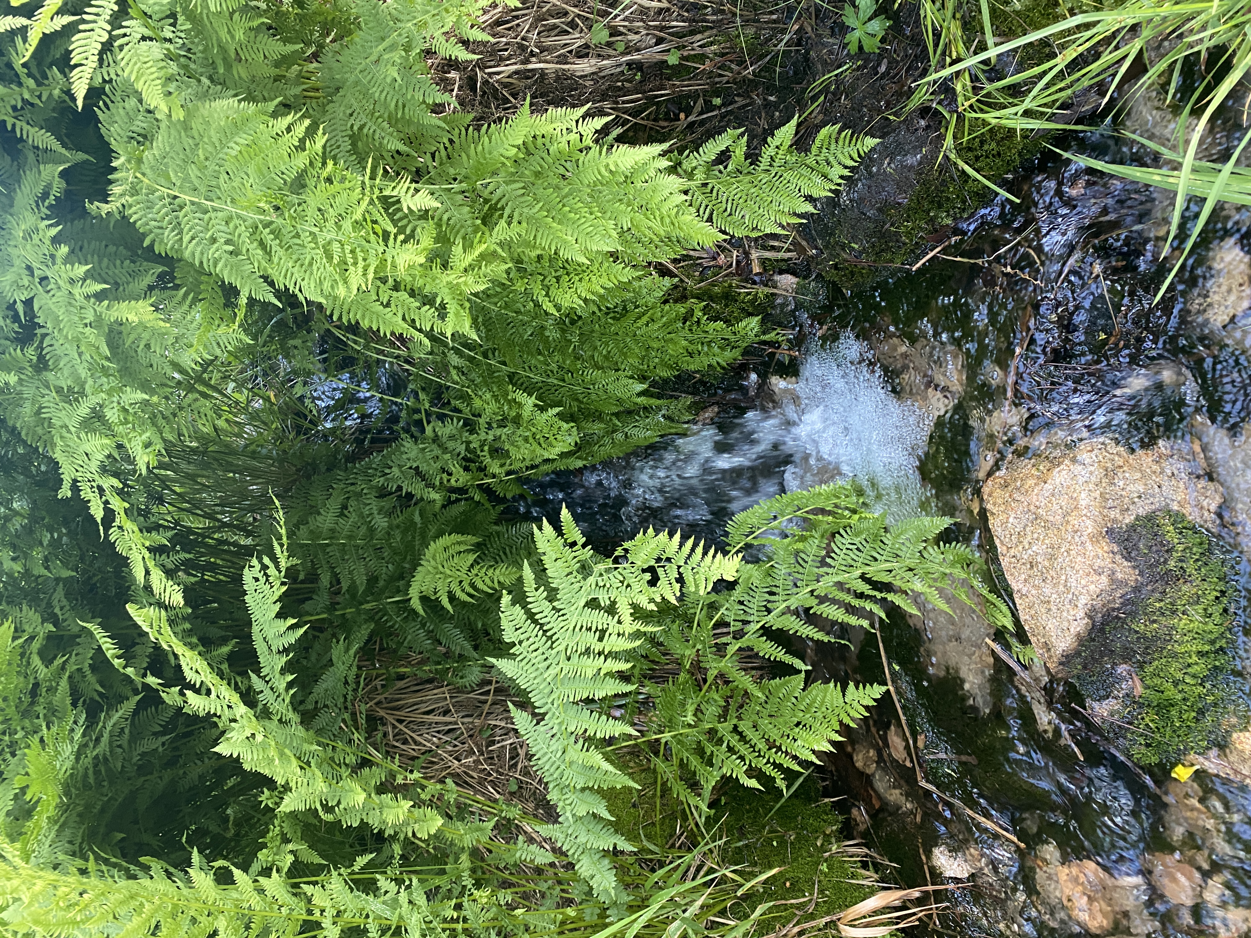
There's still a little bit of water flow in the South Fork of the Santa Ana river.
Almost back down. I had never taken the little detour out to Poopout Hill before, so today I did. Here's the view from the top of the hill. Must have been even…
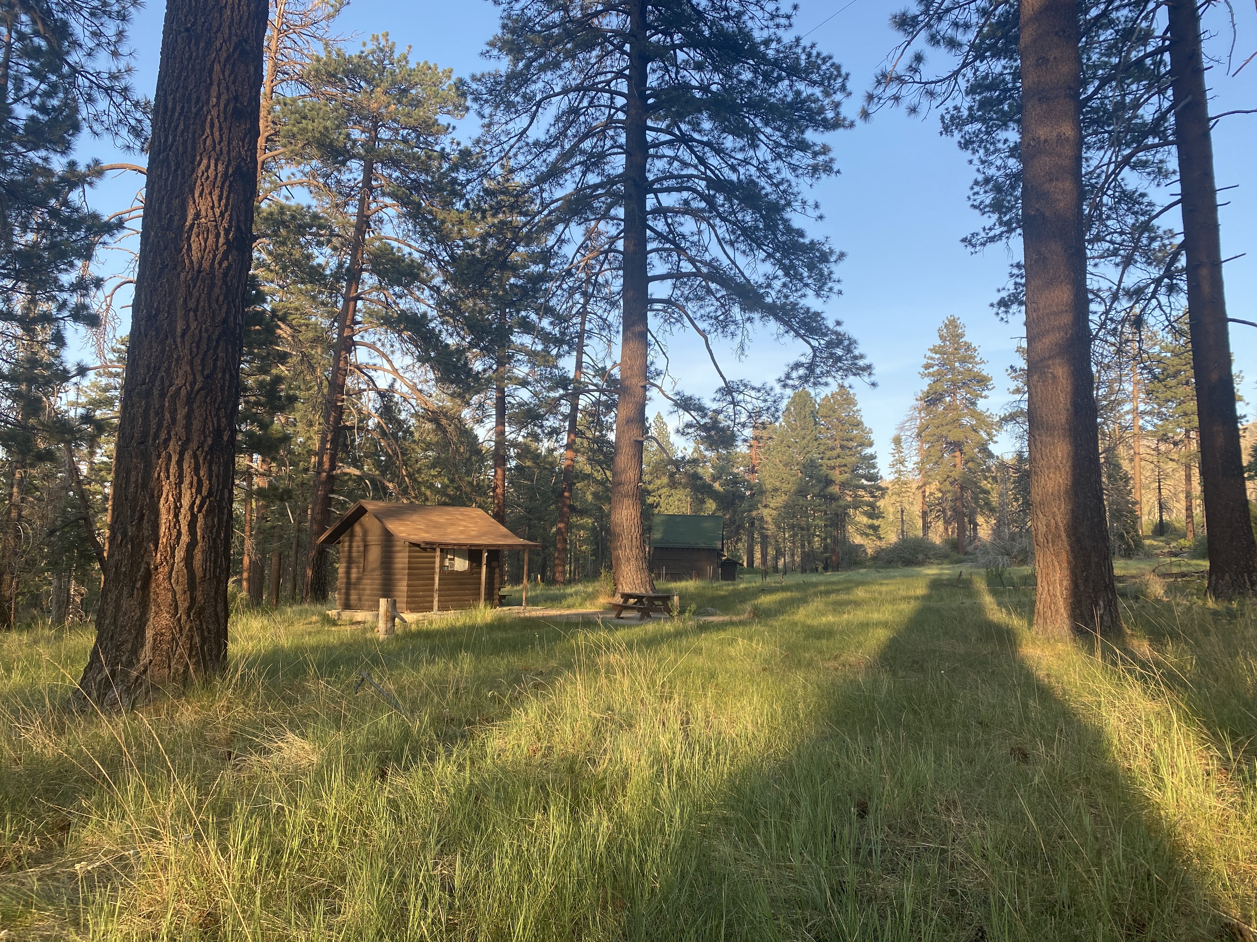
Passing through Horse Meadows as the sun is getting low. End to the third leg and the successful (inadvertent) completion of the 3 Week challenge.