Mt. Disappointment, San Gabriel, Lowe via Echo Mtn
4/27/13 Three peaks in one day... Mt. Disappointment, San Gabriel Peak, and Mt. Lowe. San Gabriel is the highest peak in the Angeles front country at 6,161'. Total run for the day ended-up being almost 18 miles and over 5,500' of gain.
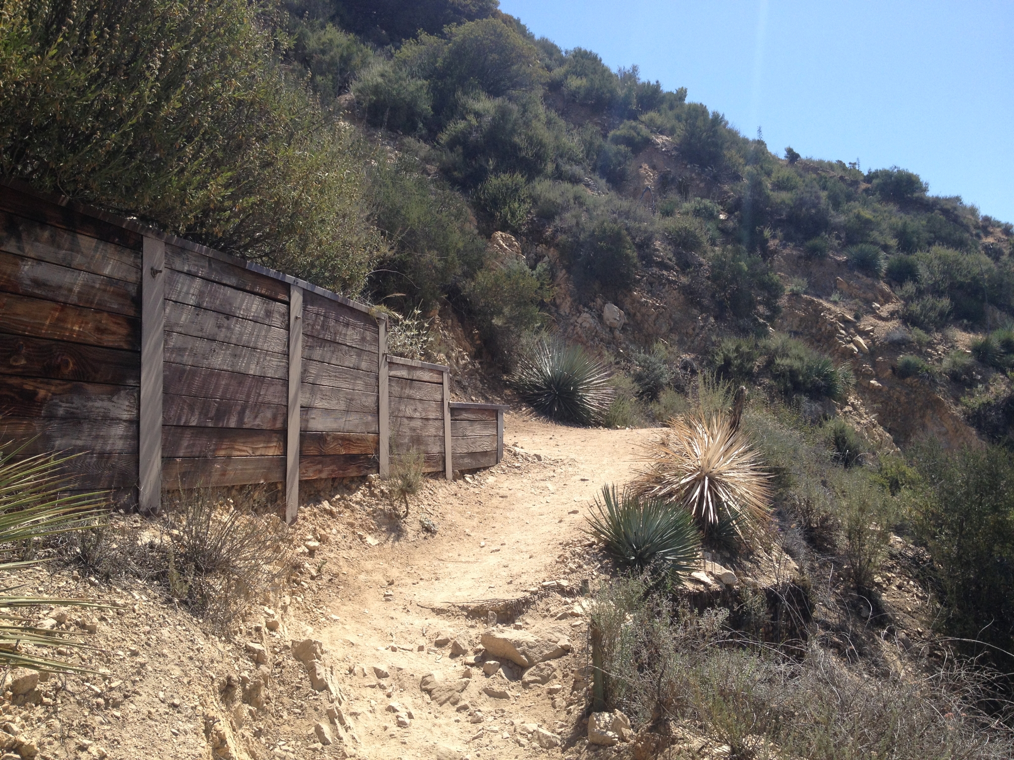 1 Heading-up the trail to Echo Mtn from Altadena. The trail is almost entirely exposed single/double track. It gets hot here, and it's in the 80s today. It also gets extremely crowded on this section of trail. |
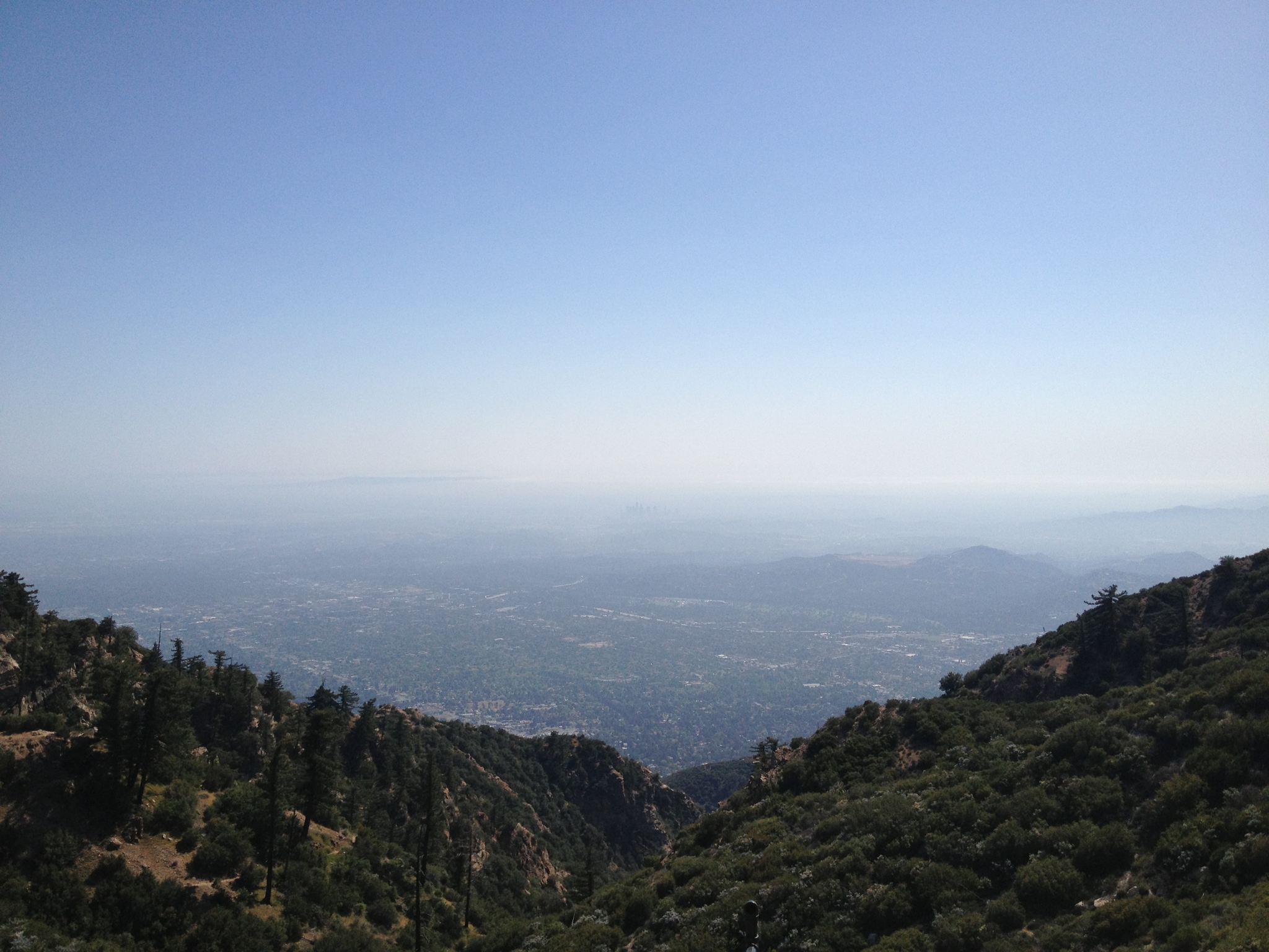
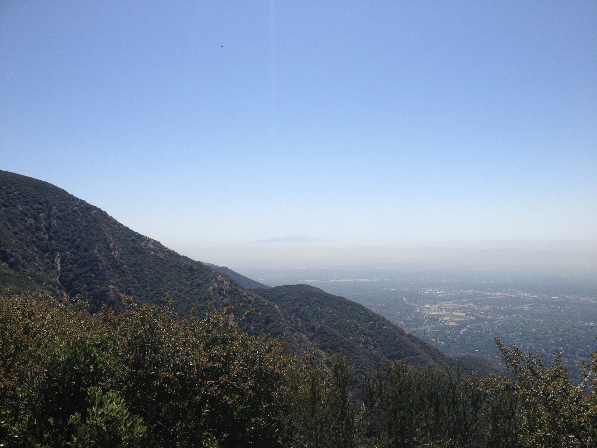 2 The view from Echo Mtn on a hazy (smoggy?) day. |
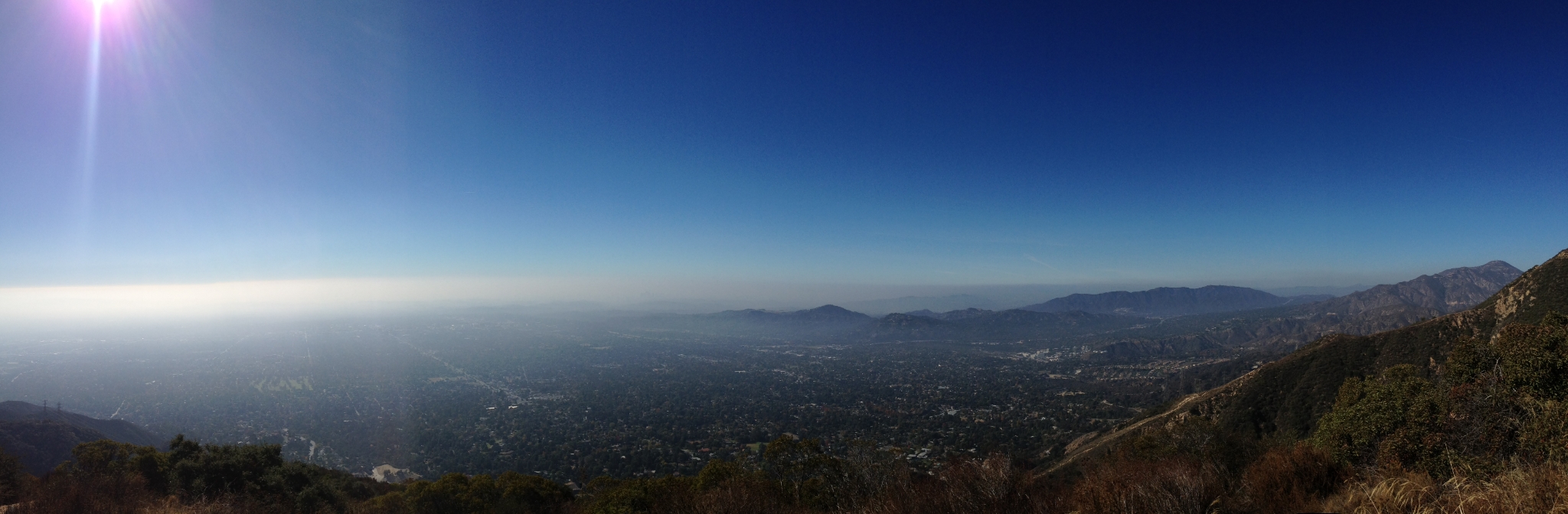 3 A panoramic view of the valley below from the Echo Mtn peak after a 2.7 steady climb up from the Altadena trailhead. |
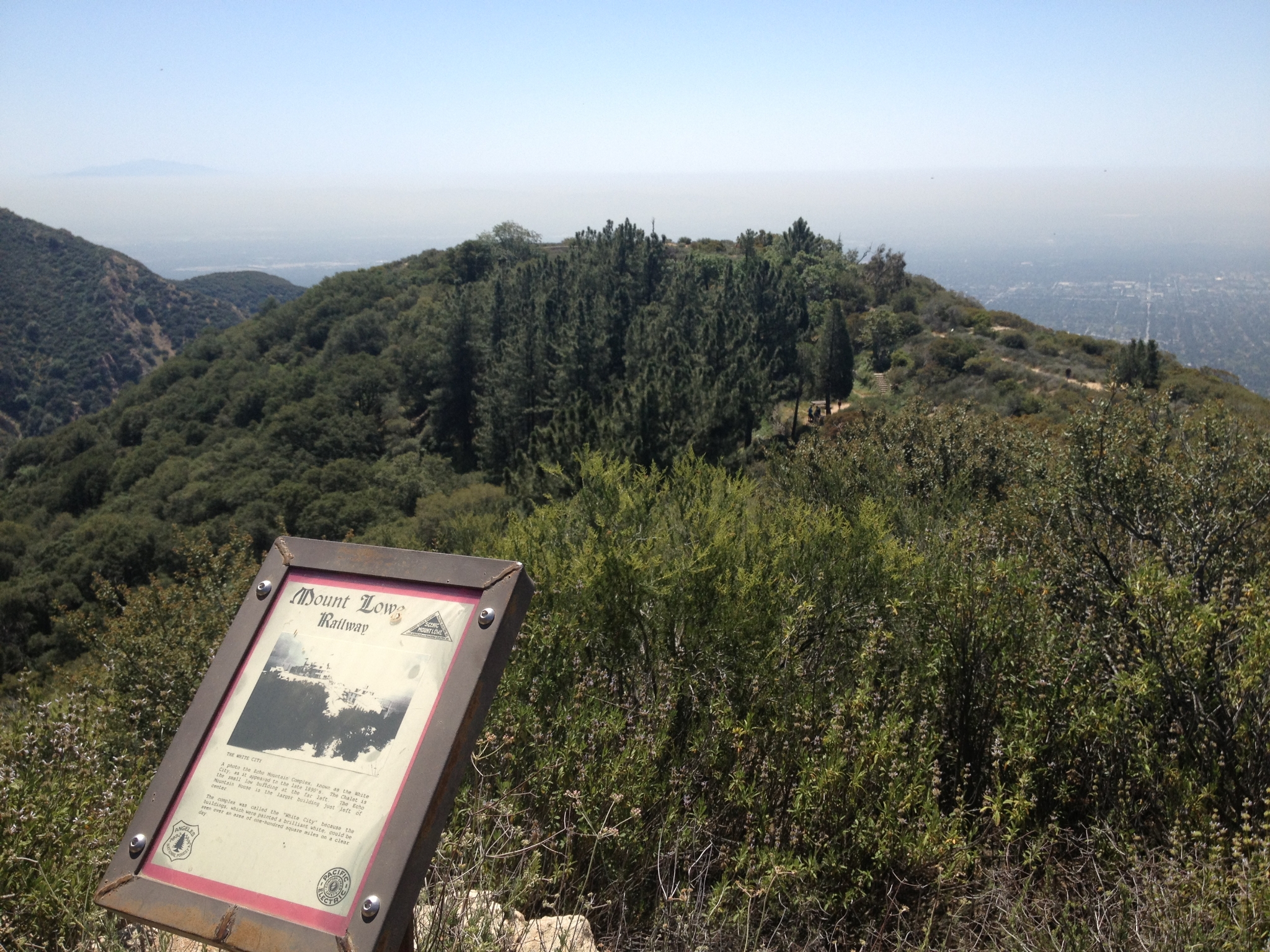
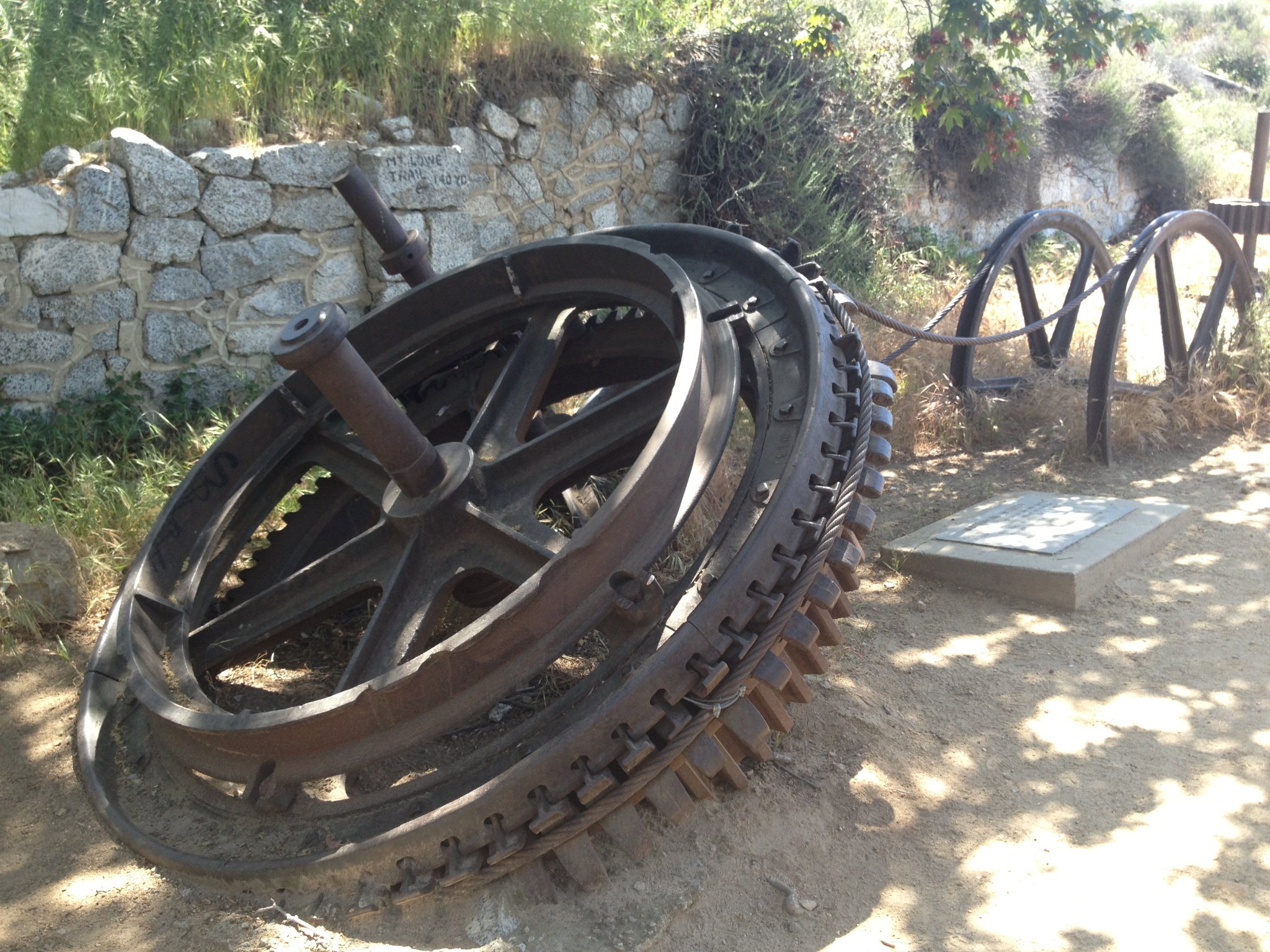 4 Remnants of the Mr. Lowe Railway that ran all the way up to Echo Mtn and was supposed to eventually run up to Mt. Lowe. |
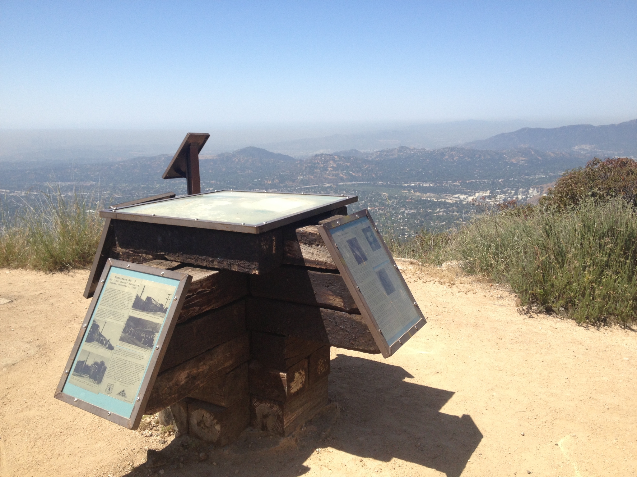 5 Historic info signs overlooking views of the Pasadena area. |
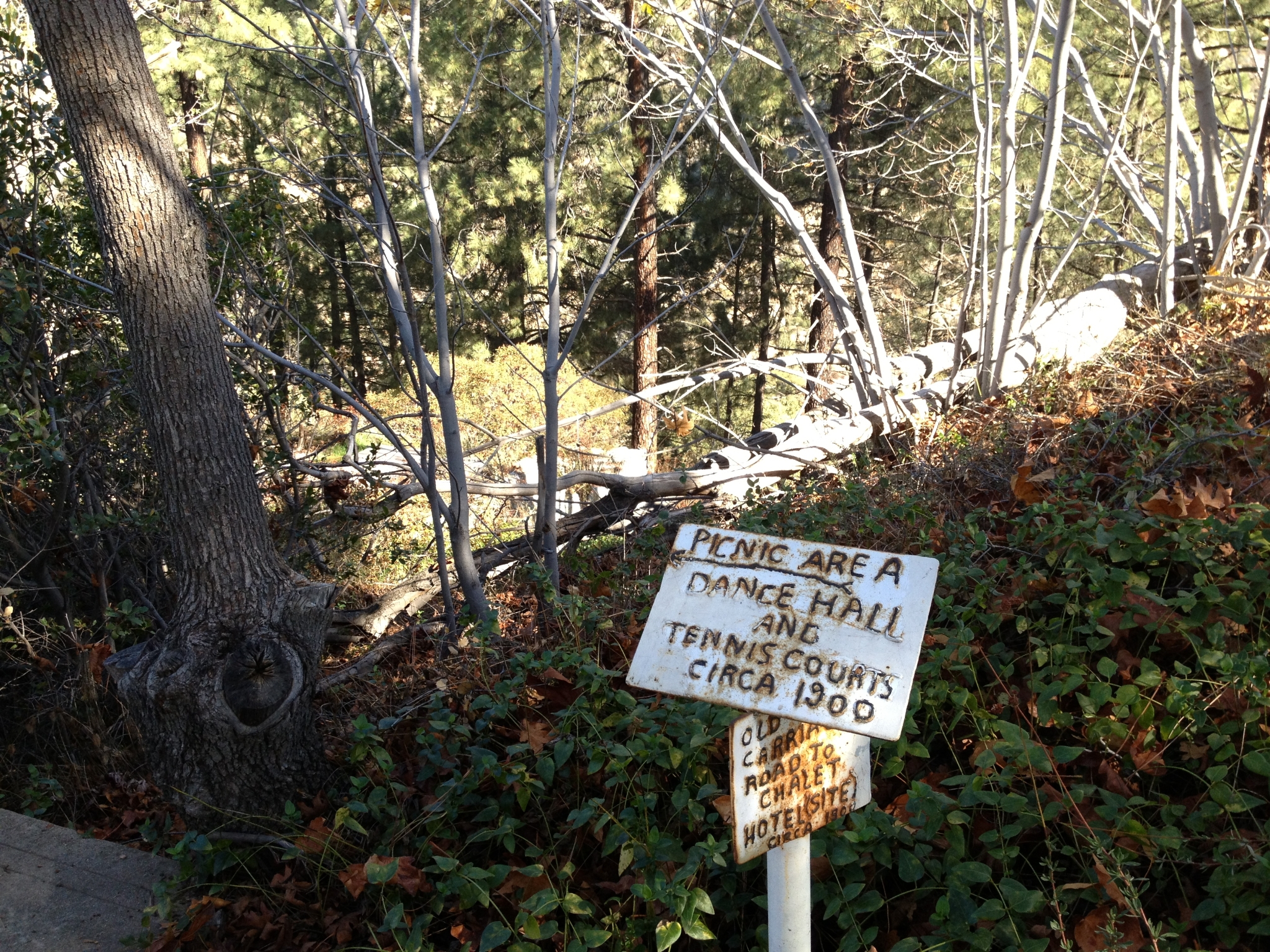 6 The location of the hotel, dance hall, and tennis courts over a century ago. |
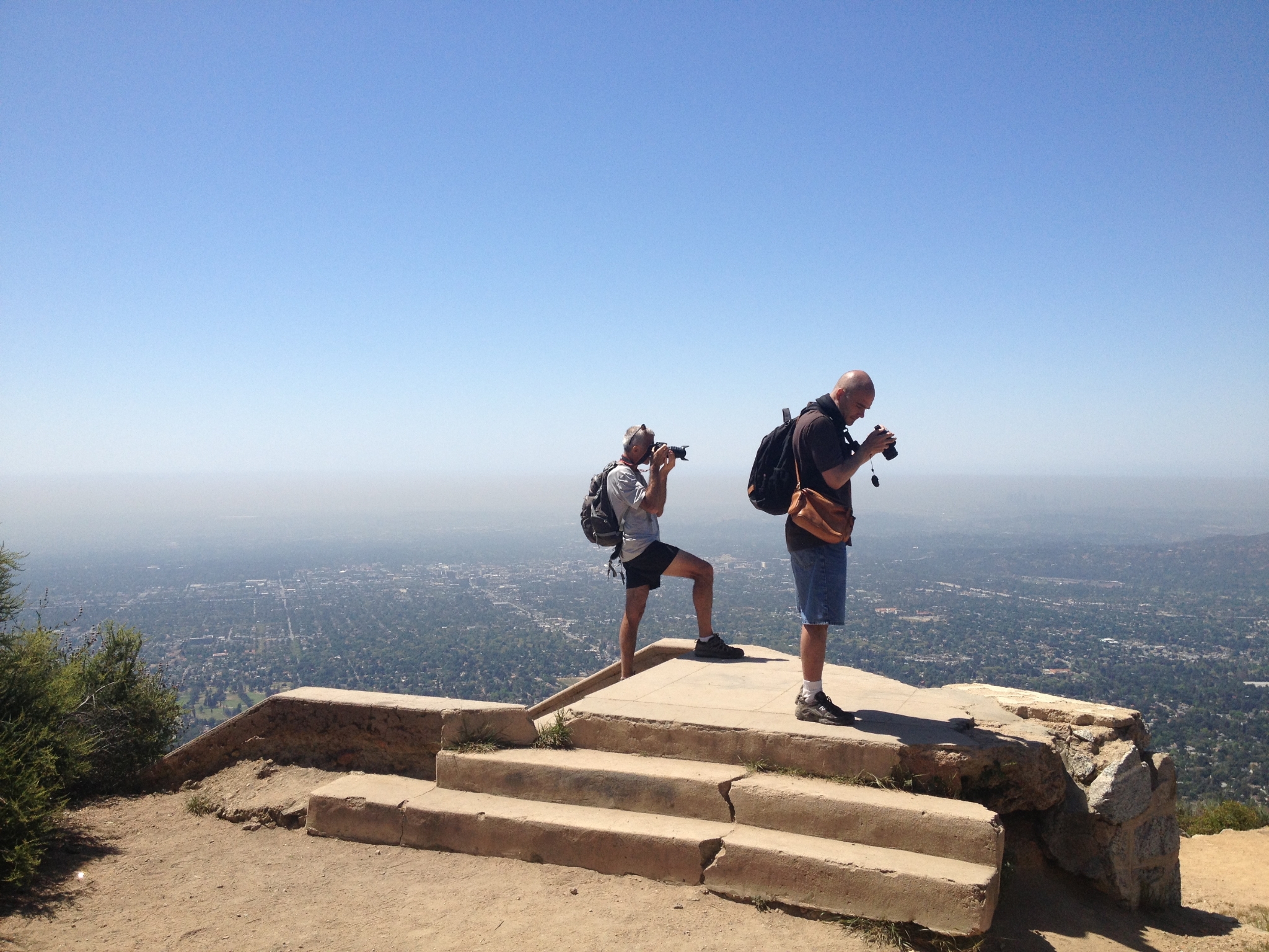 7 The guy on the left was evidently a former ultra-runner. He definitely had the look and personality. I talked to him for a while and couldn't tell if we was really smart or really crazy. Eventually, I had to remind him that I had a long ways to go still, and then I headed off. |
 8 Climbing-up the San Merrill trail looking down at Echo Mountain. |
 9 The trail starts to get more technical and more interesting above Echo Mtn. It is also a whole lot less crowded. I saw more people in a hundred yards below Echo Mtn than I did the whole rest of the way above it. |
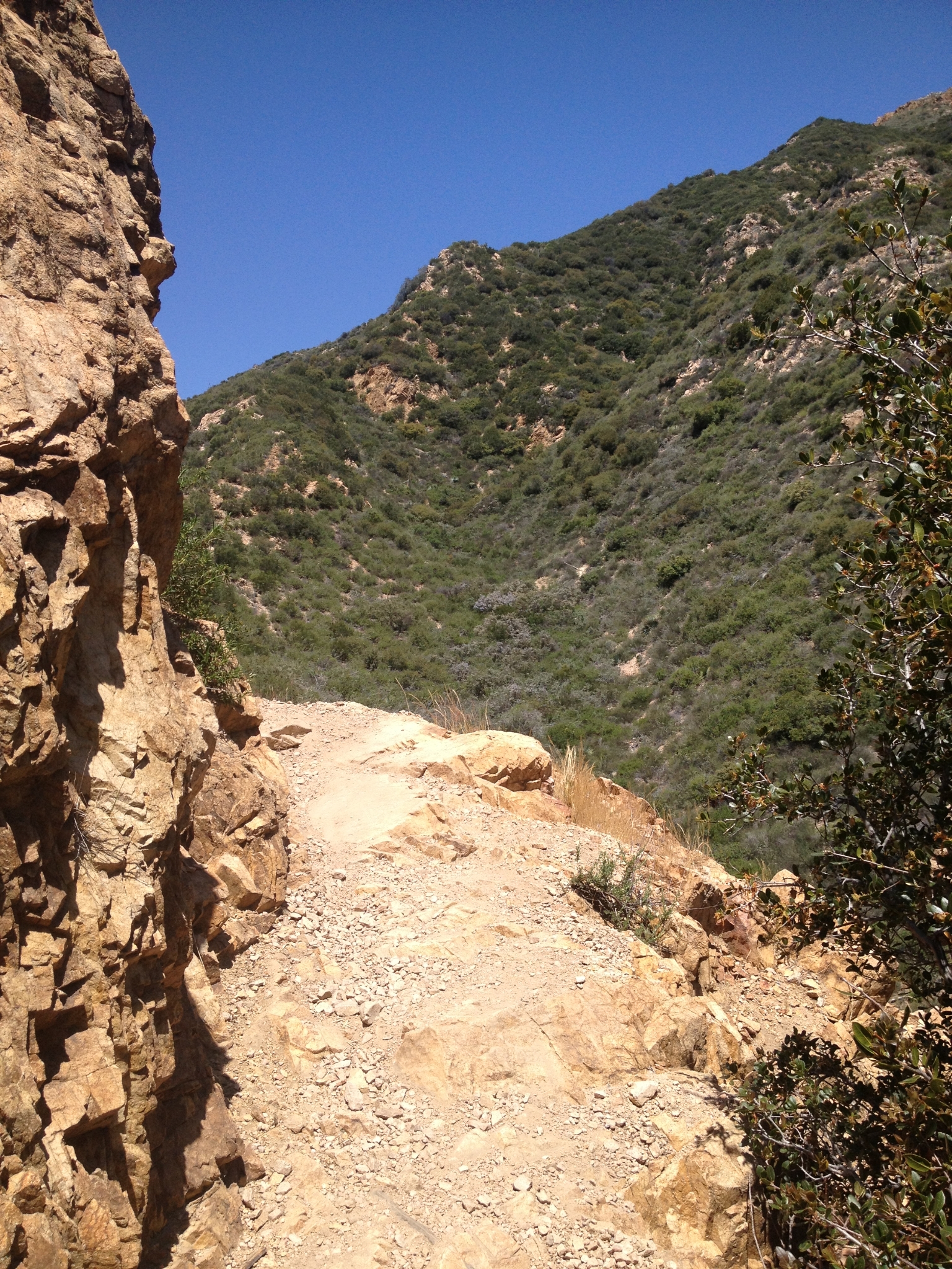
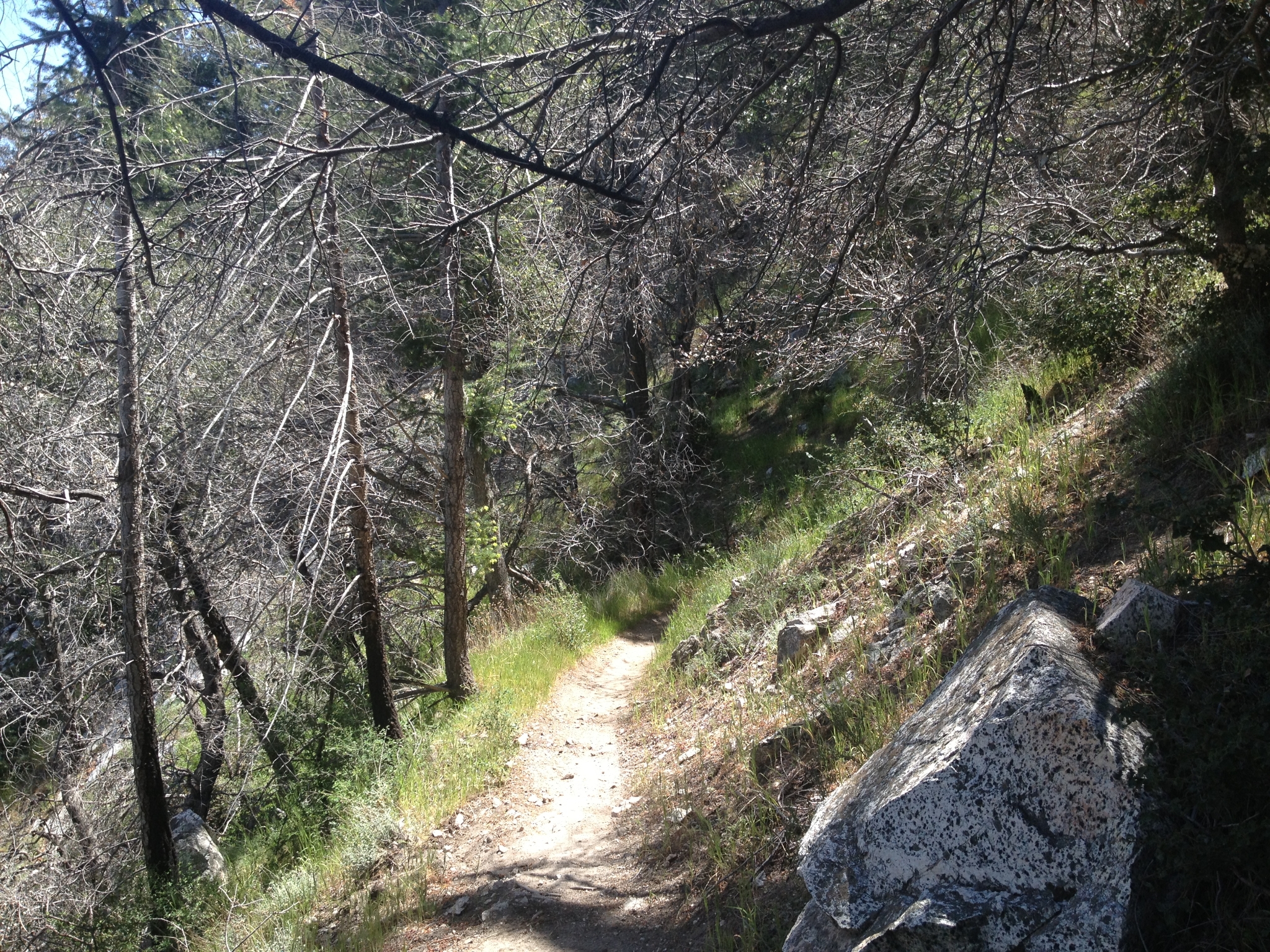
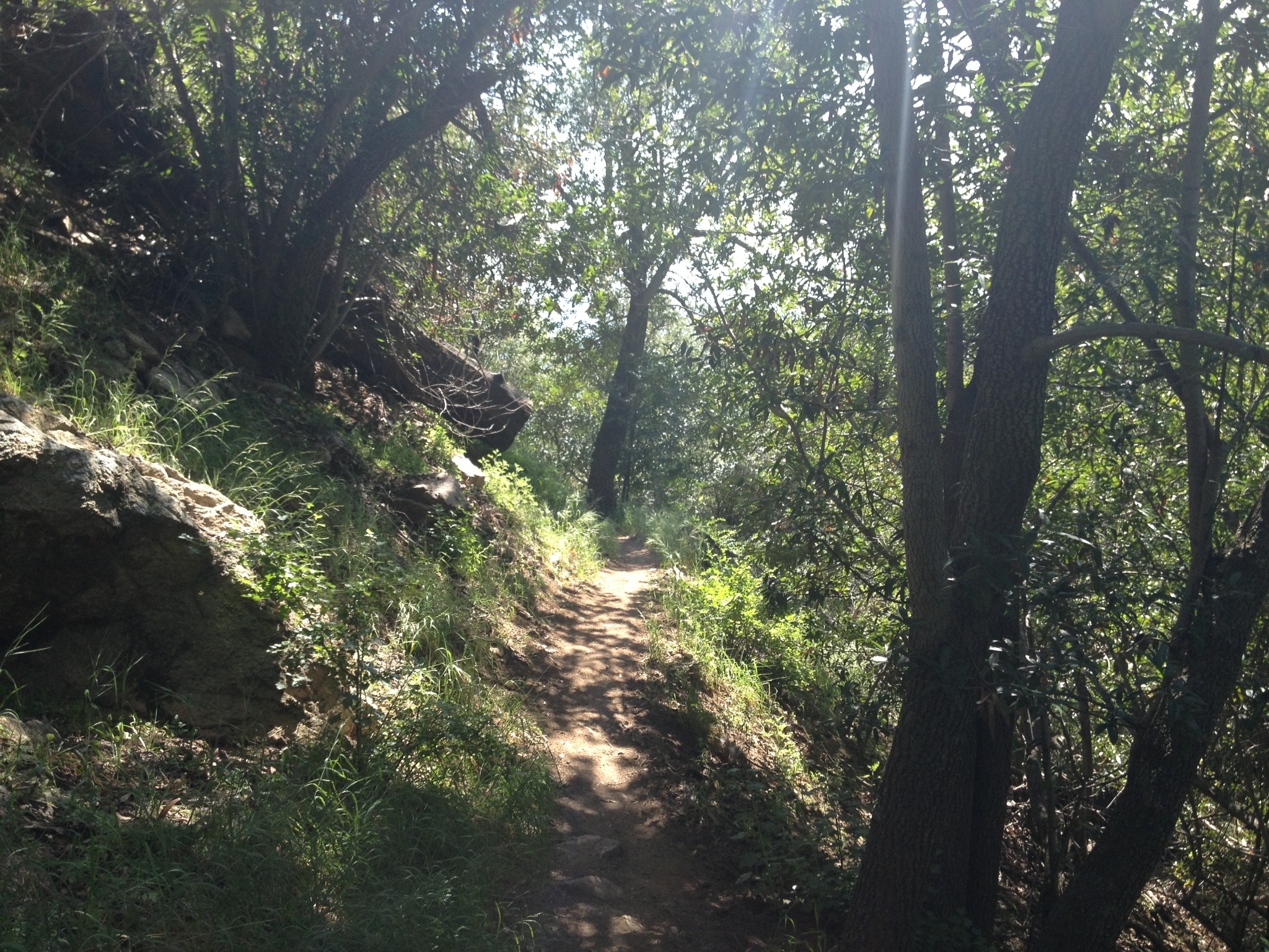
 10 Climbing-up Las Flores Canyon almost up to the ridge. |
 11 A typical section of trail above Echo Mtn below the ridge. |
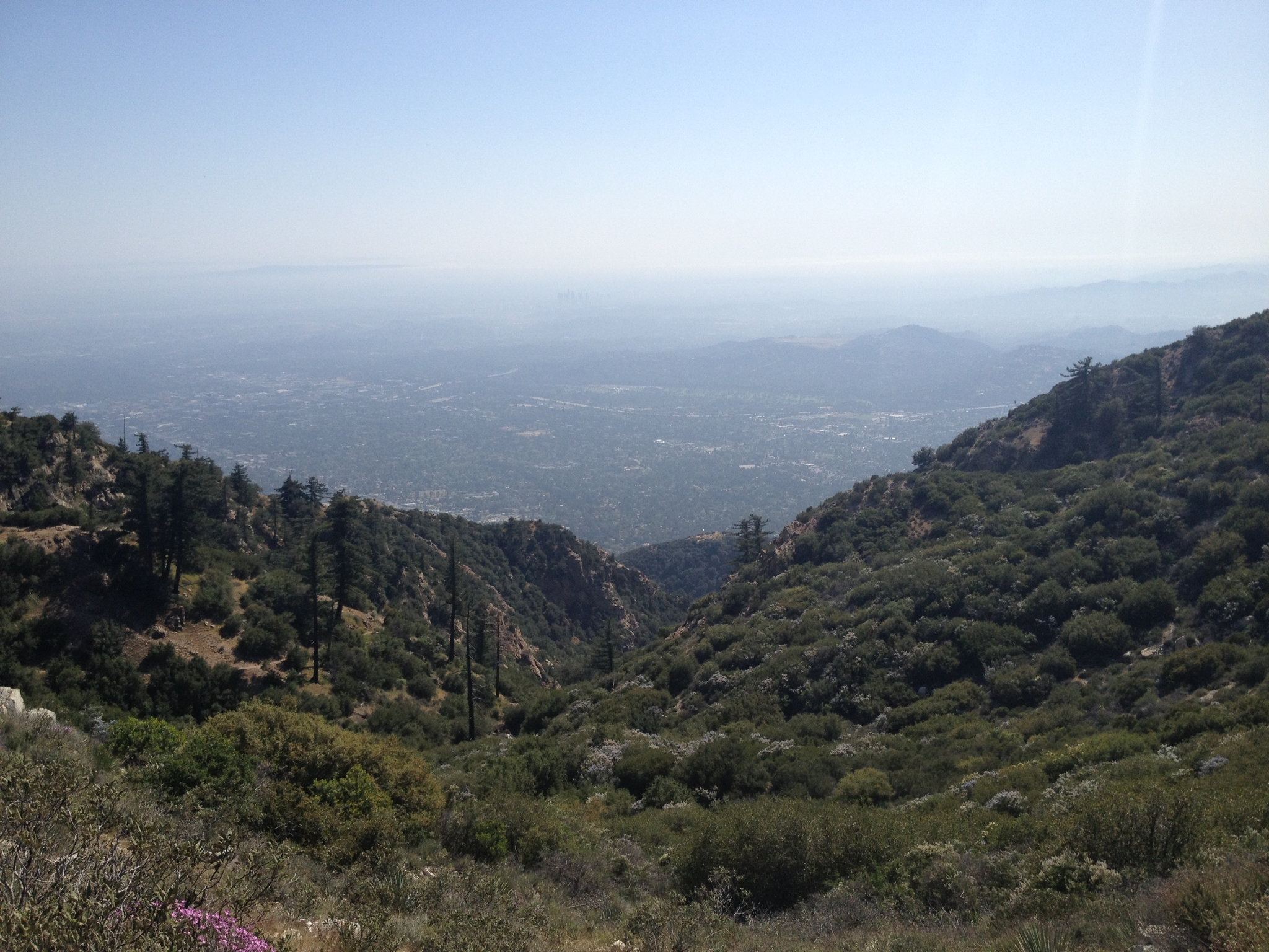
 12 Looking down on Pasadena and Echo Mtn from just below the ridge. |
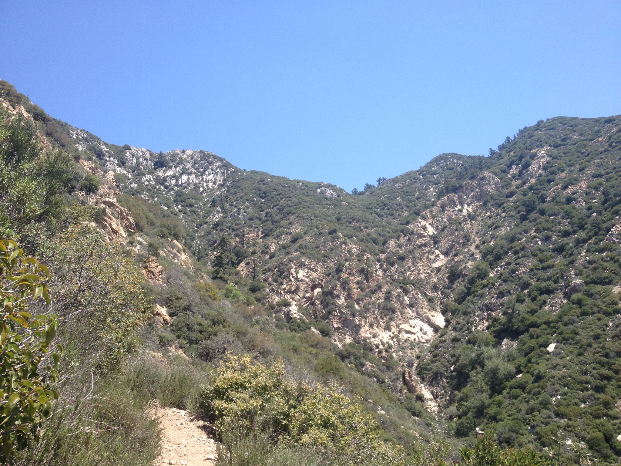
 13 Made the ridge at about 4000'. |
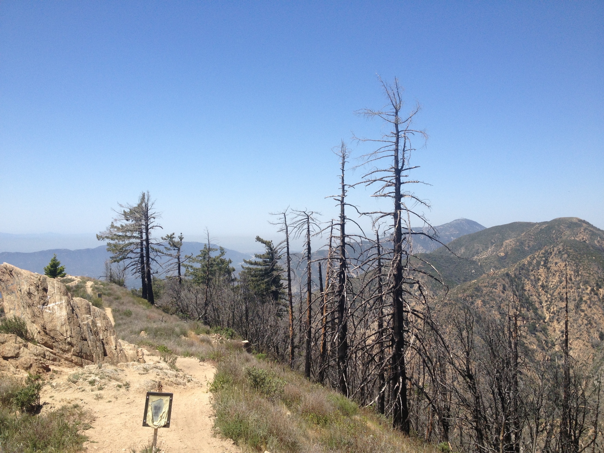
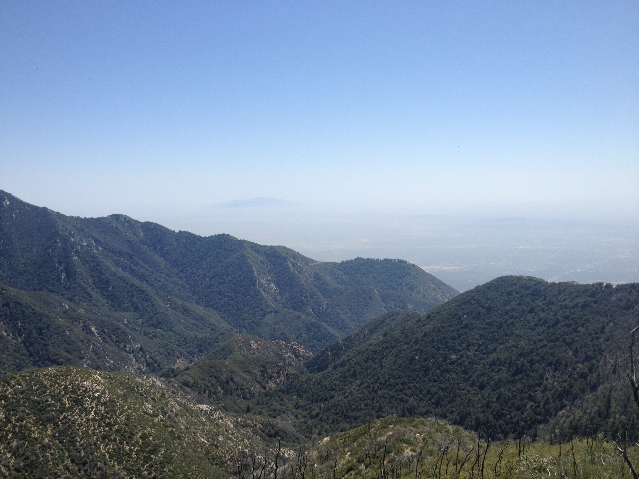
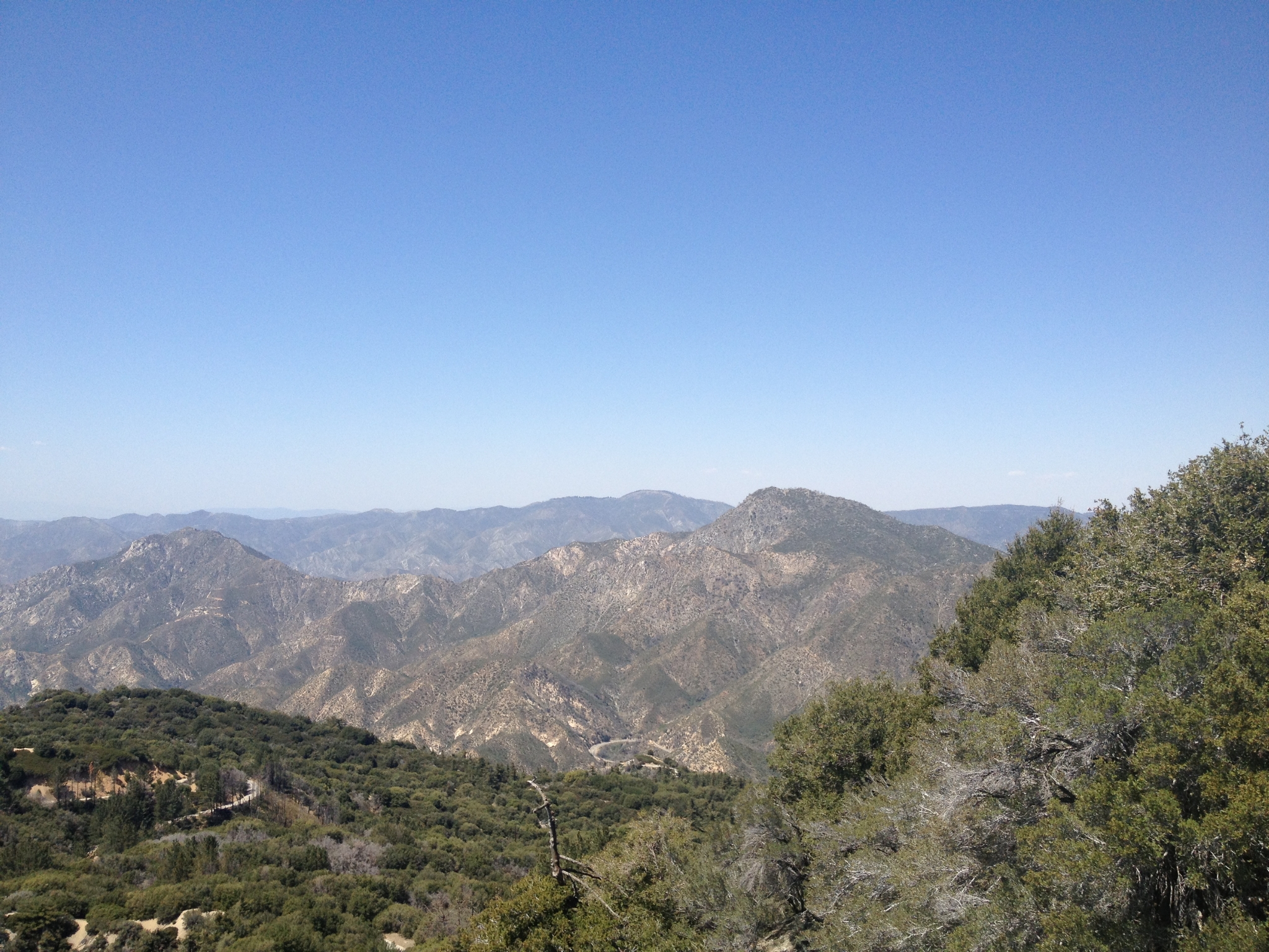
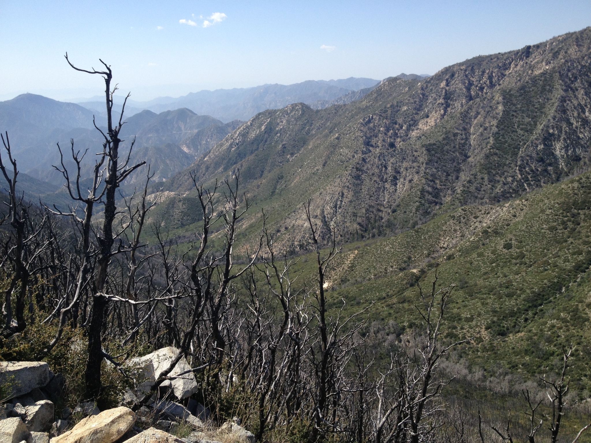
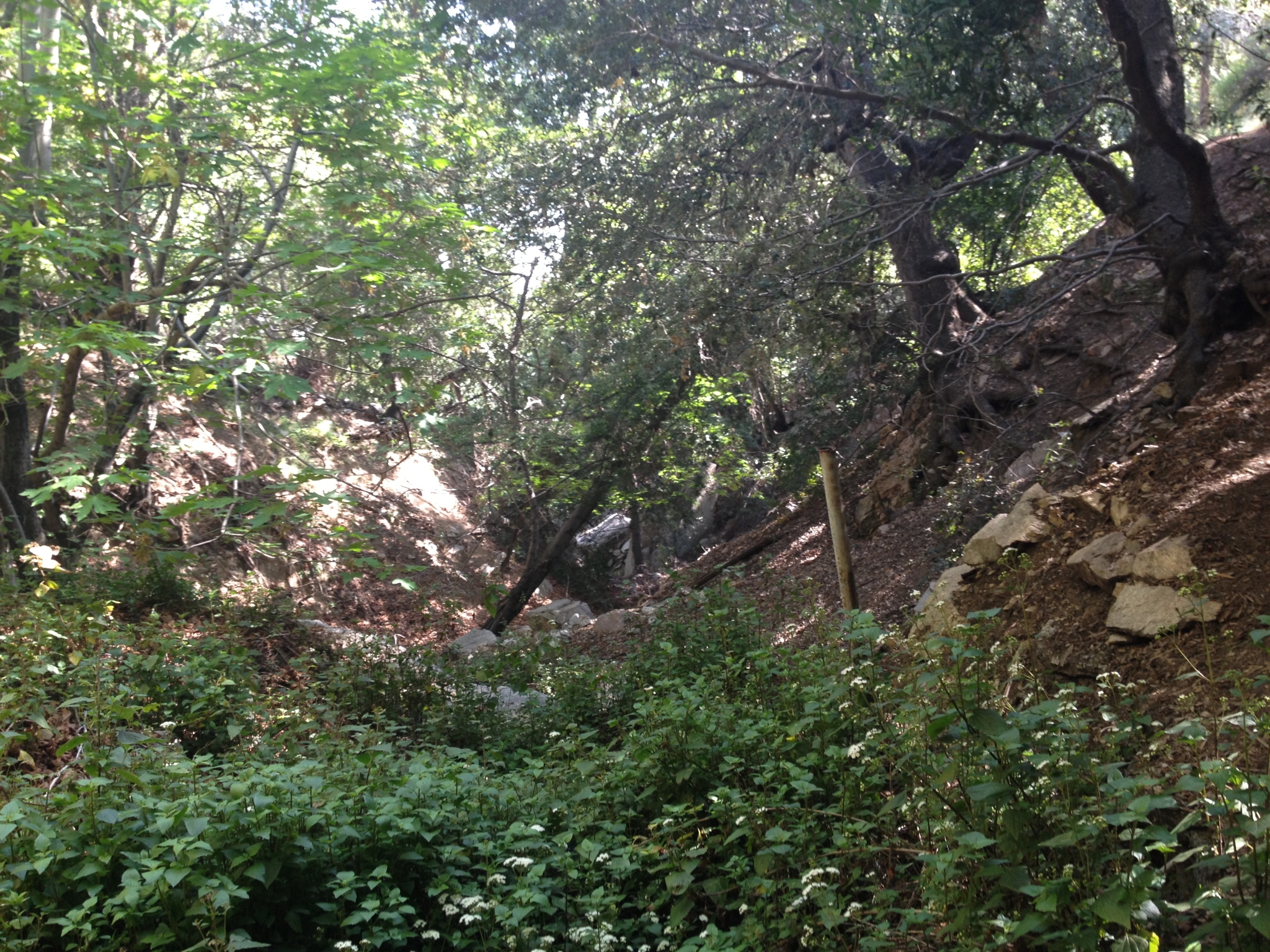
 14 It's a whole different world on the other side of the ridge in the Angeles Backcountry. Just mountains, no city, as far as the eye can see. |
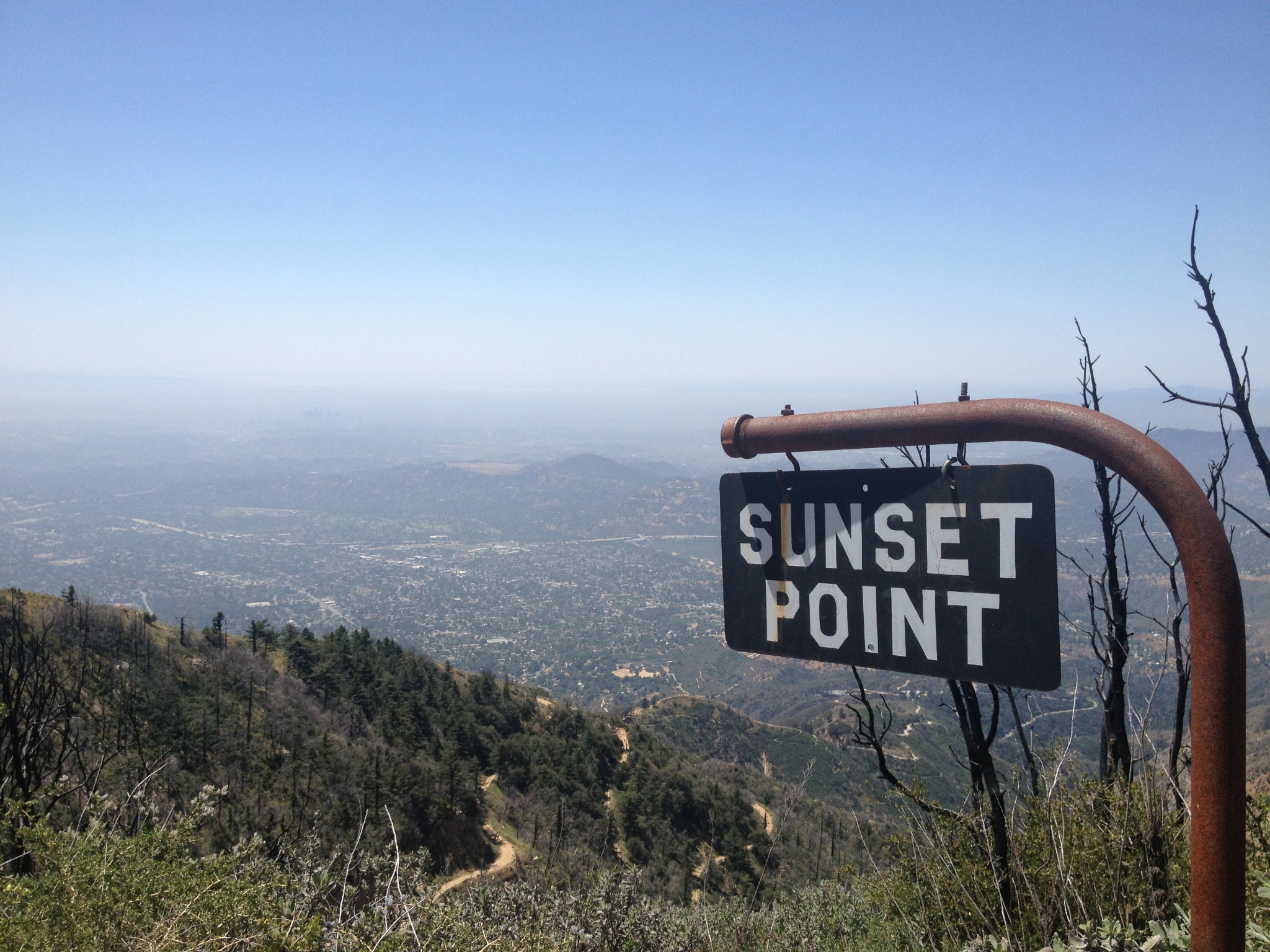
 15 Finally some bigger vegatation. Unfortunately this area was ravaged by the Station Fire a few years ago. |
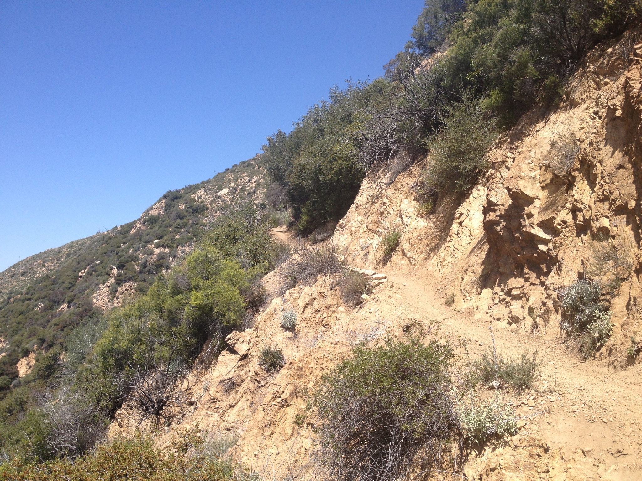
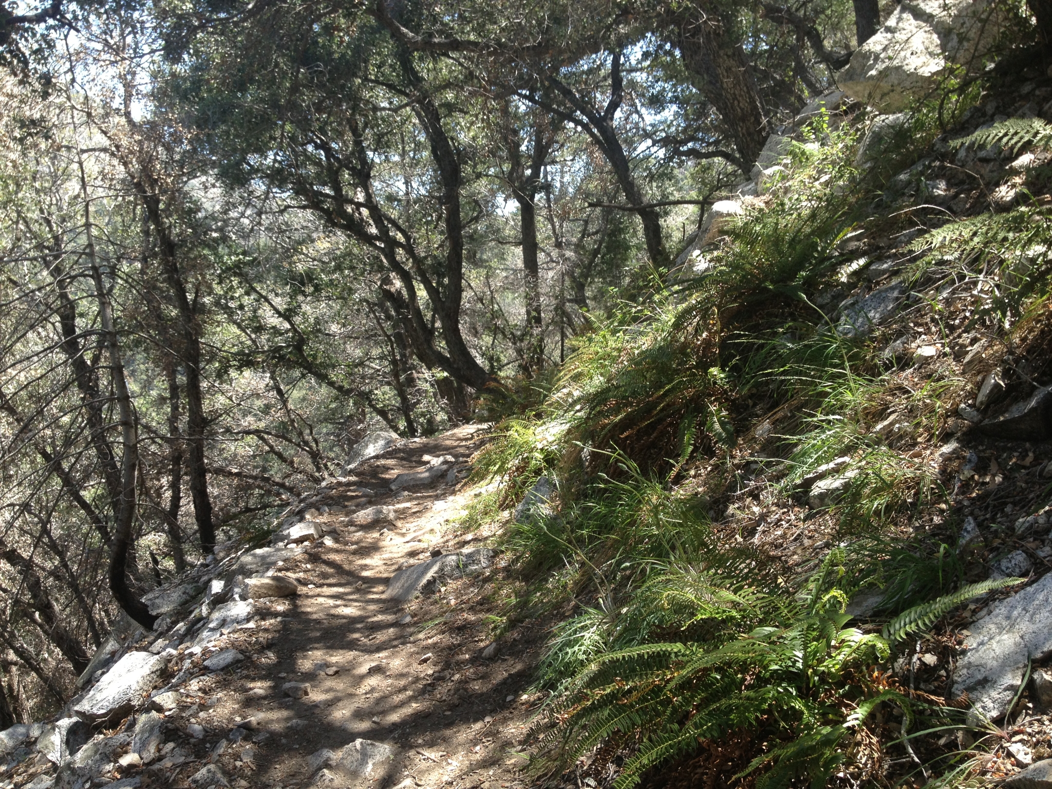
 16 Looking West from Sunset Point. |
 17 The top of the San Merrill trail has a section of awesome single track. |
 18 Finally some shade and some green! |
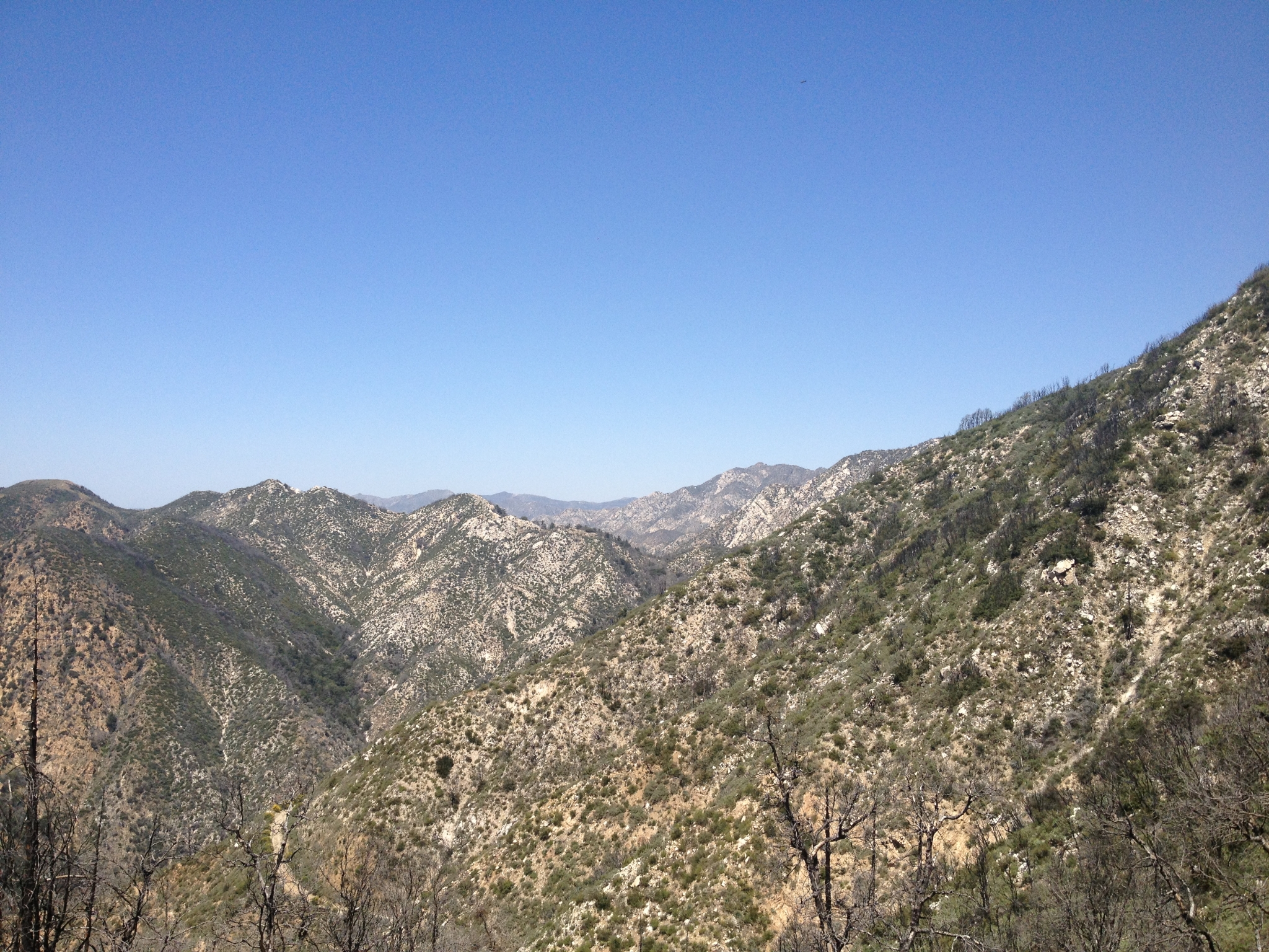
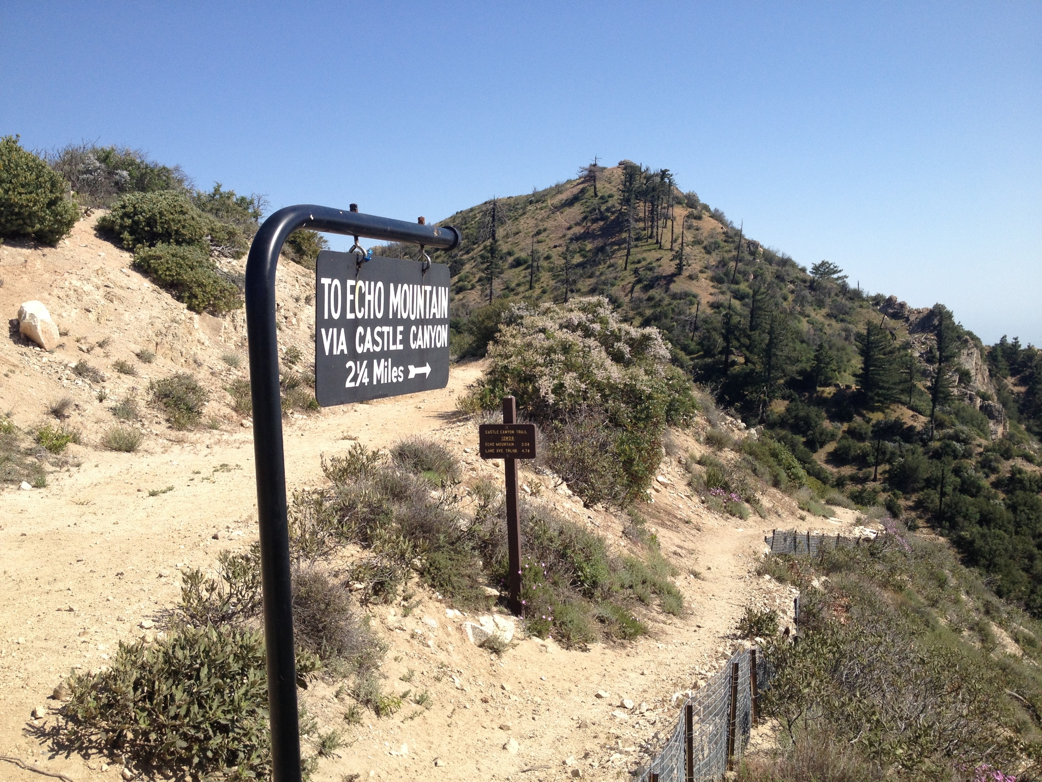
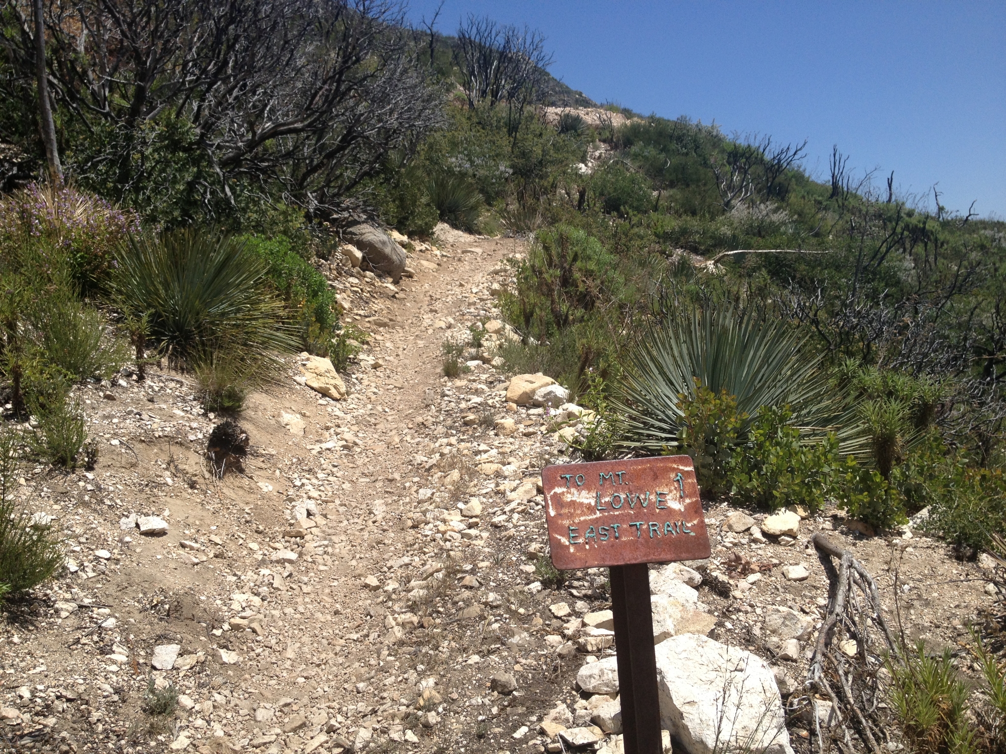 19 The junction to Mt. Lowe. I decide to hit Mt. Disappoint and San Gabriel Peak first, and then summit Lowe on the way back. |
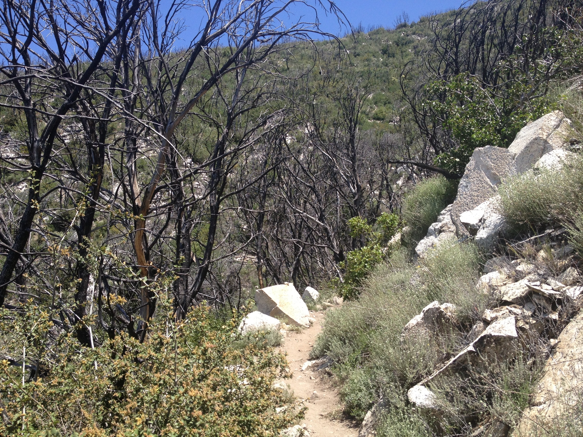
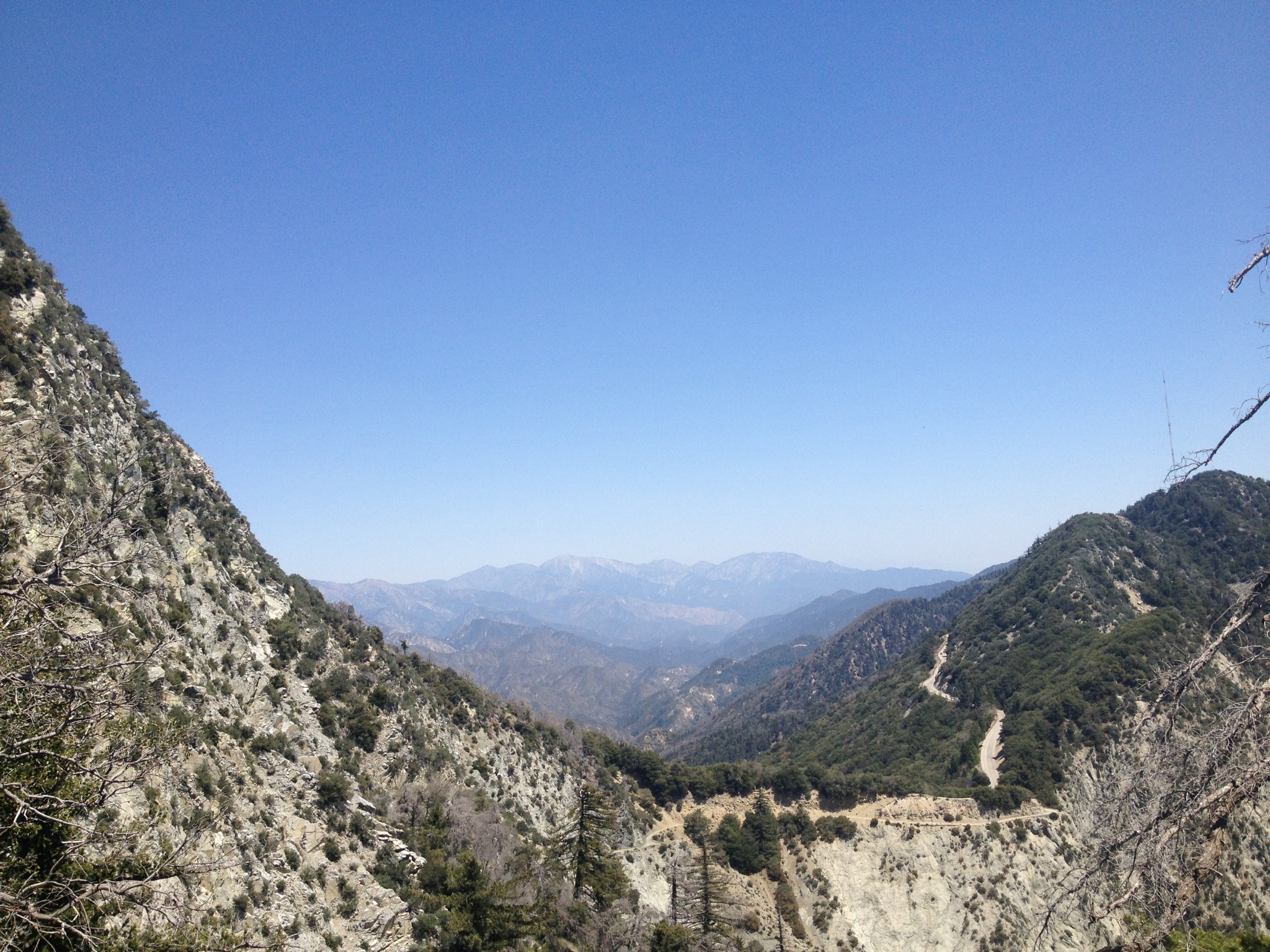
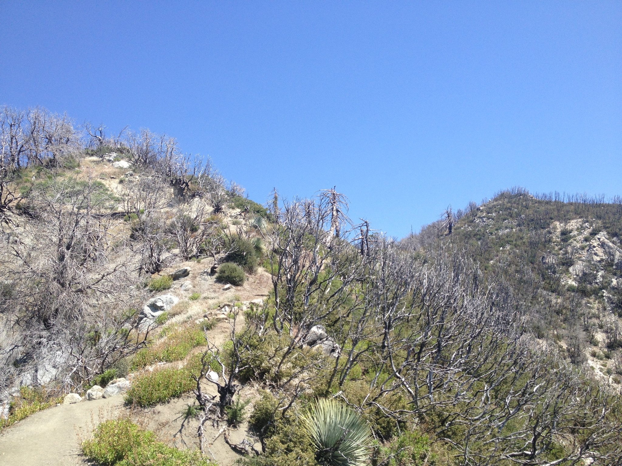
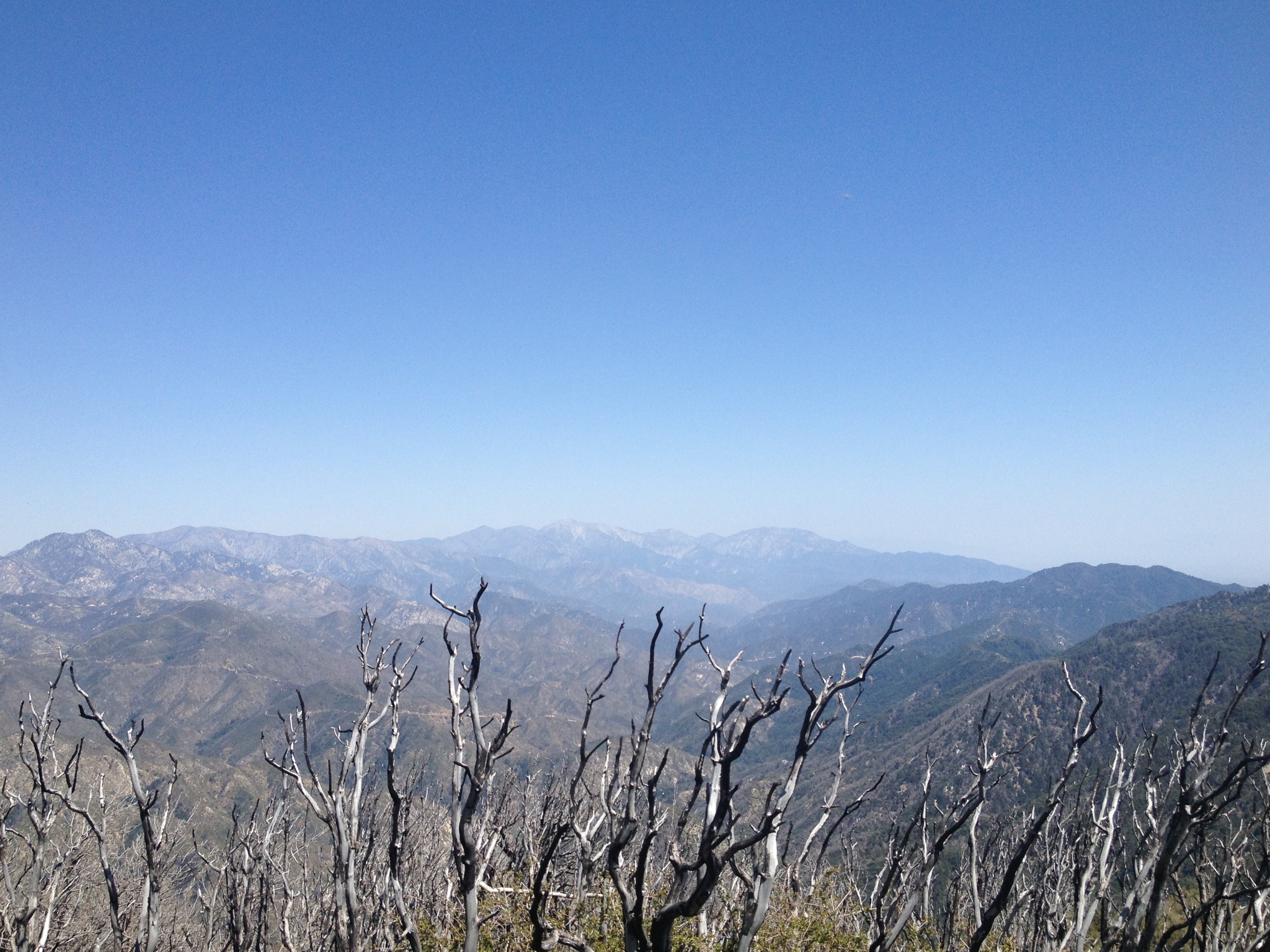
 20 Looking down the canyon with Mt. San Jacinto in the distance. |
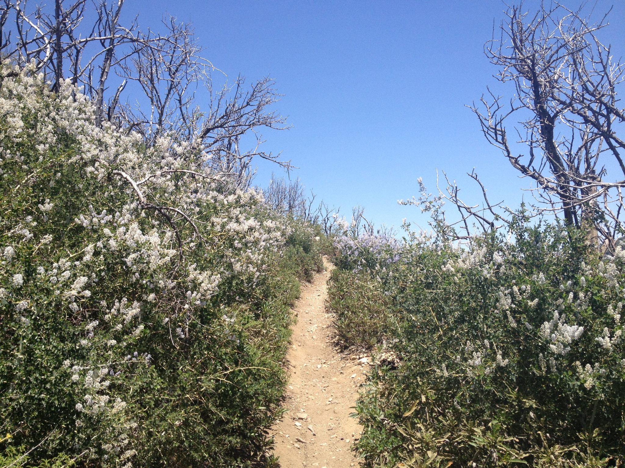 21 Occasional sections of wildflowers starting to grow back amongst the burnt chaparrel. |
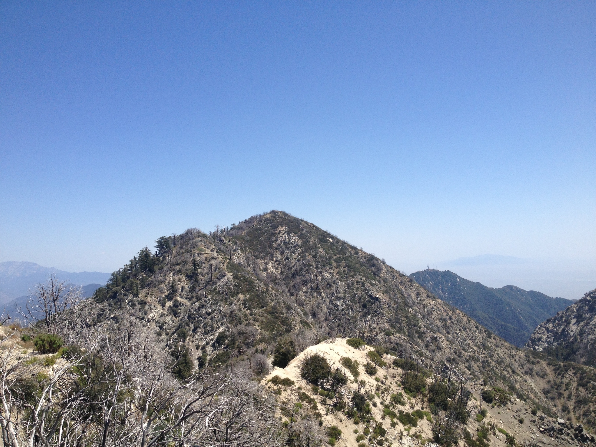
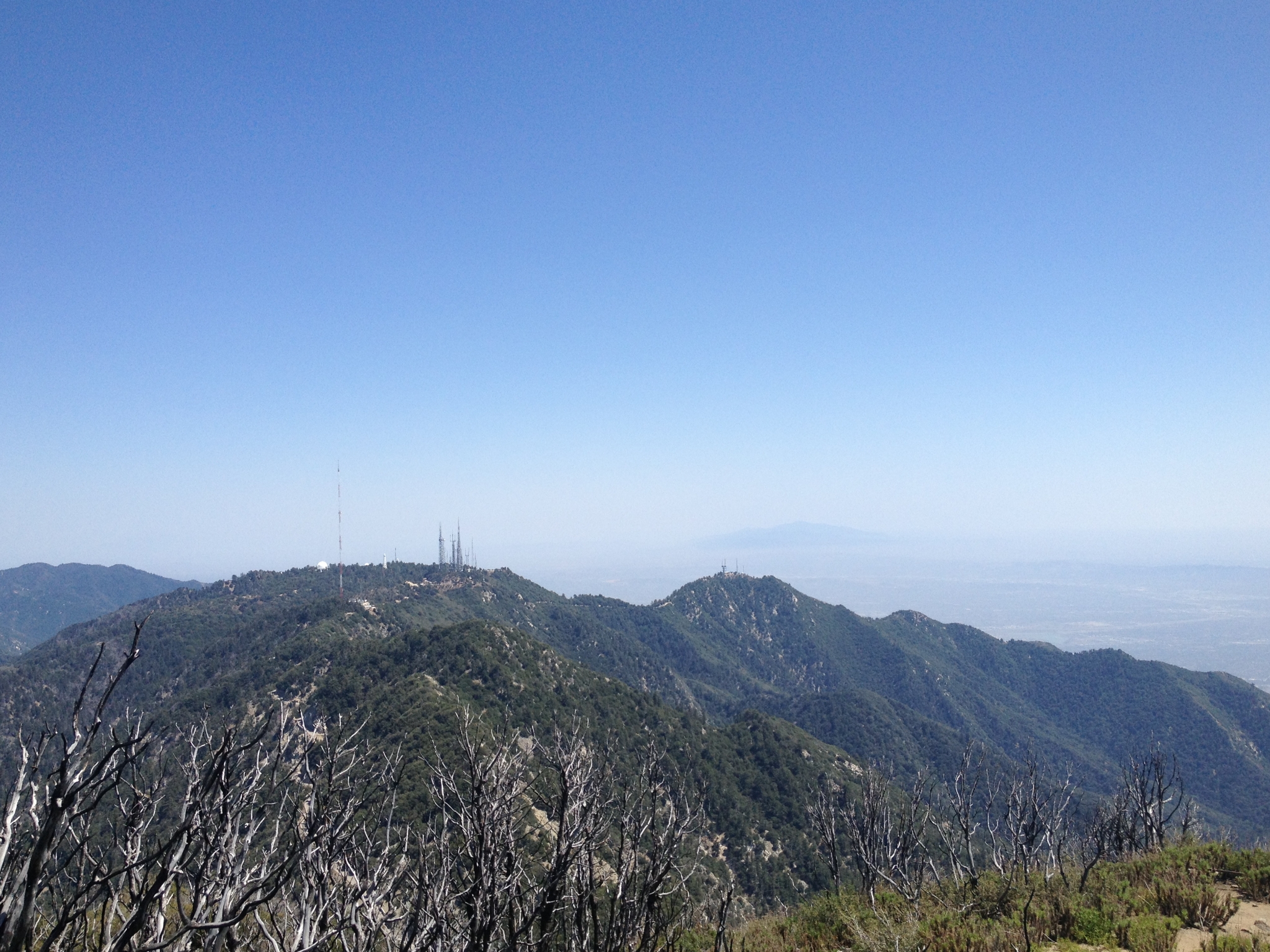
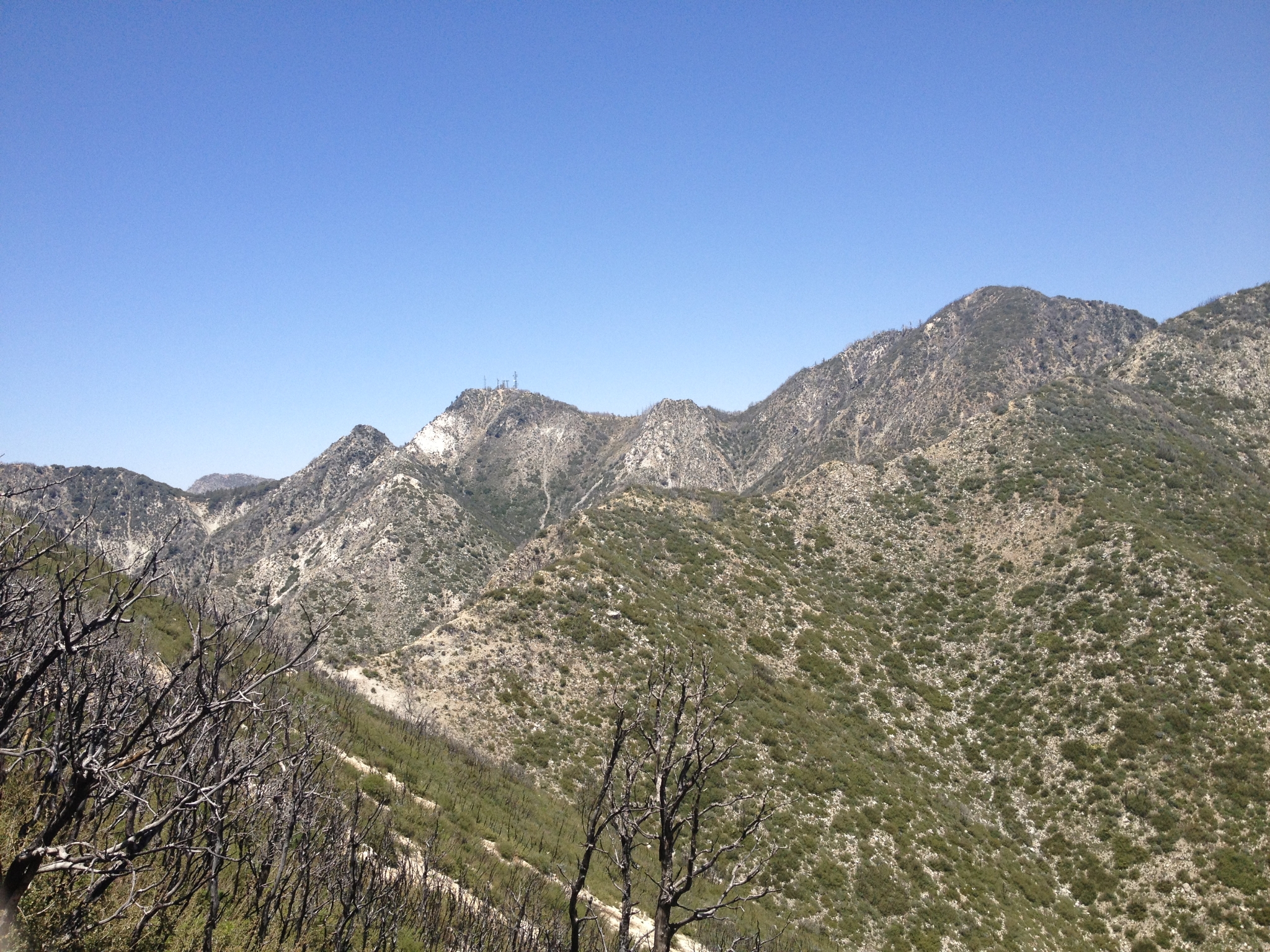 22 The first good view of Mt. Disapointment on the left and San Gabriel Peak on the right. You can see the trail heading-up Markham Saddle. |
 23 On the final climb to the top of Mt. Disappointment looking back at Markham Saddle. |
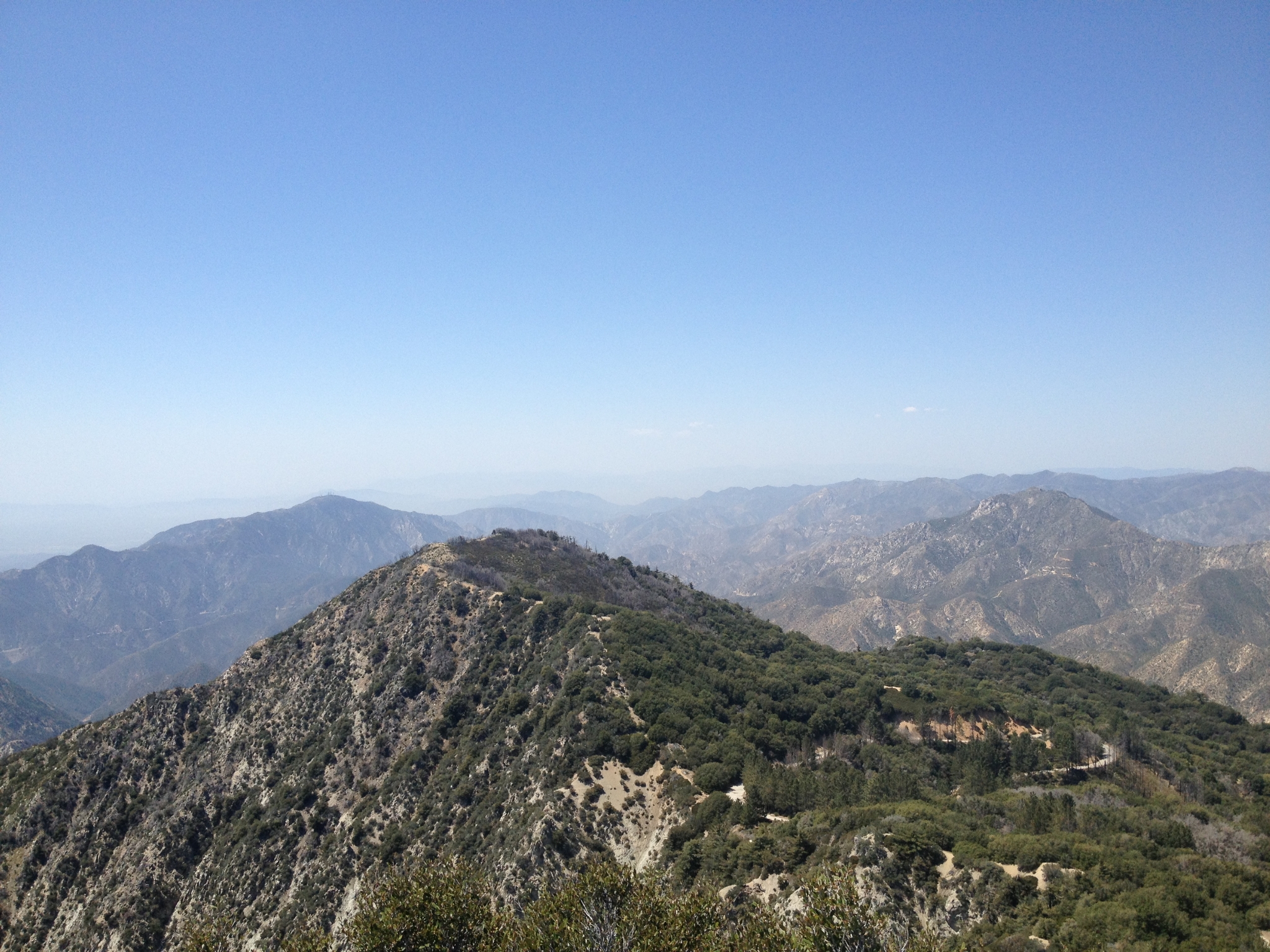
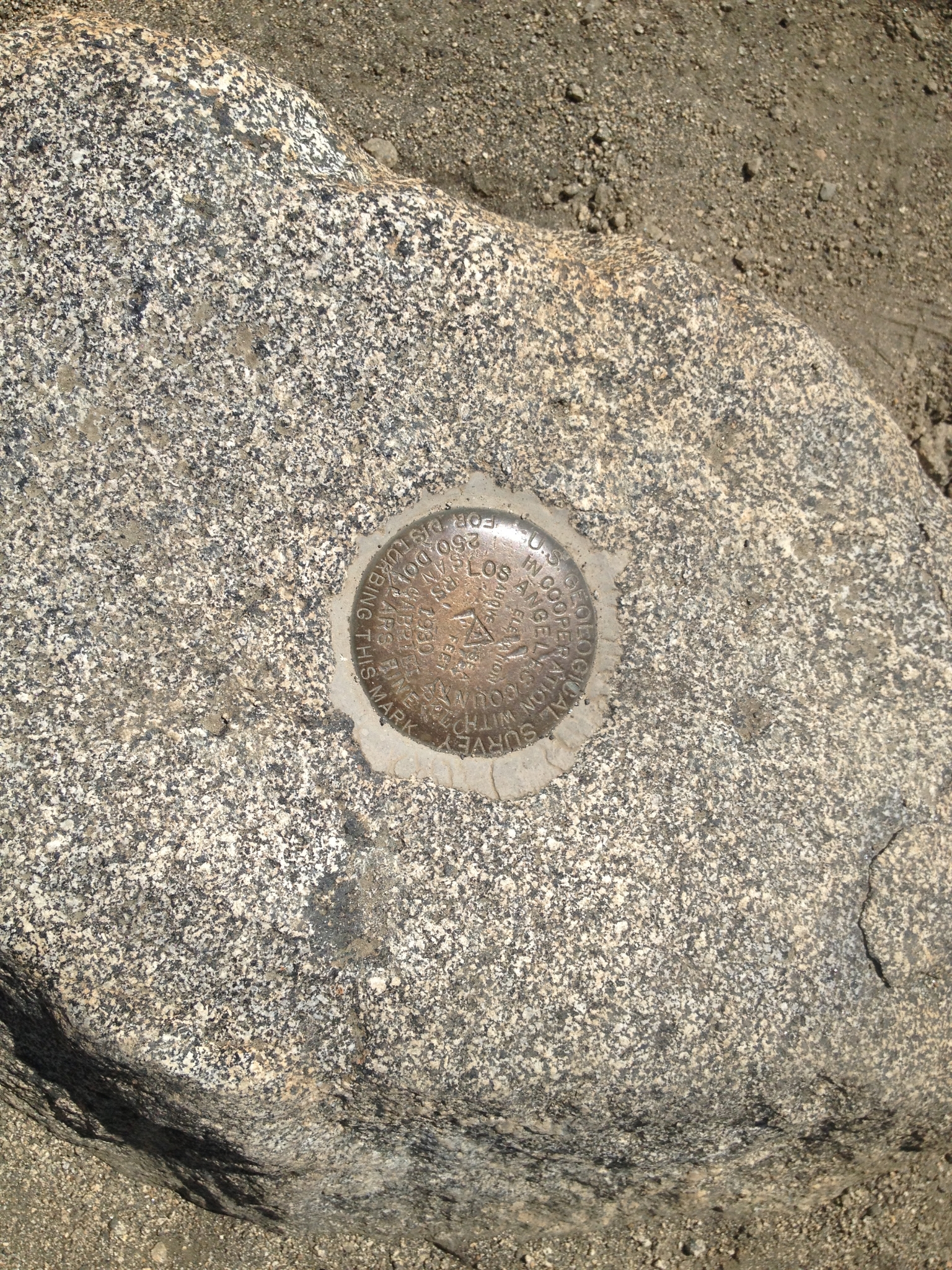 24 Made it to the top at 5,994'. |
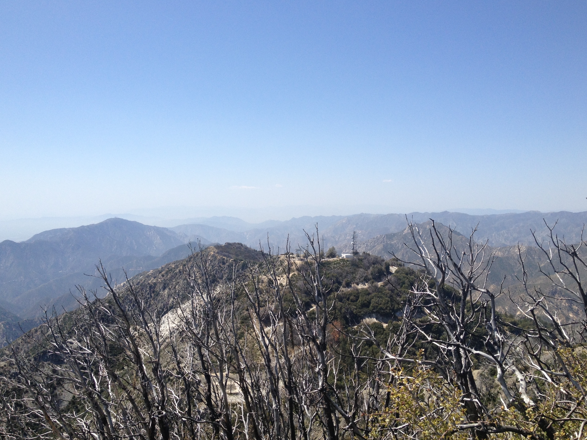
 25 Looking across at San Gabriel peak. Mt. Disappointment was named by the surveyors that got here thinking it was the highest peak in the area only to realize that San Gabriel peak is actually 167 feet higher. |
 26 Another view from the summit. |
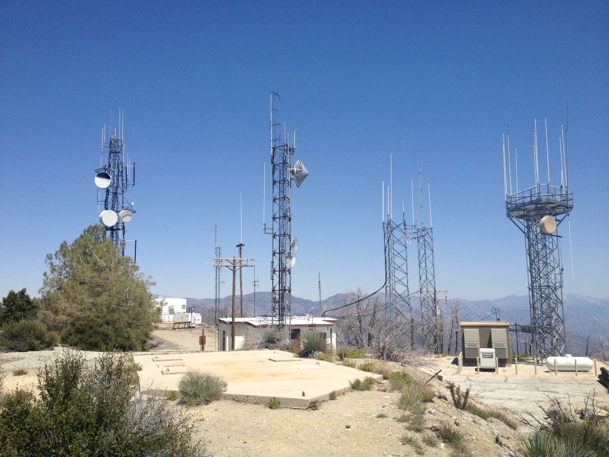
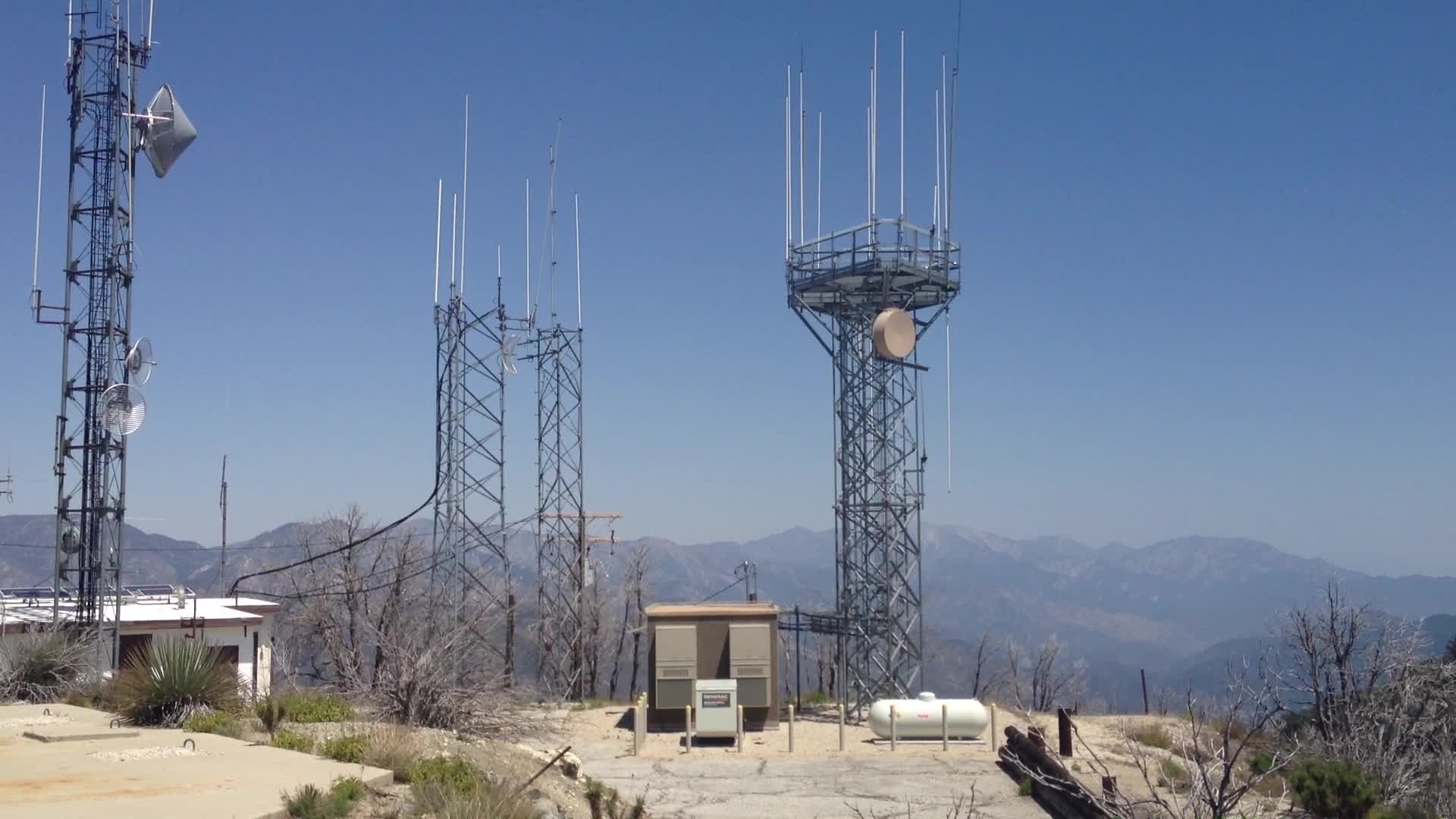
 27 Looking inland from the summit. |
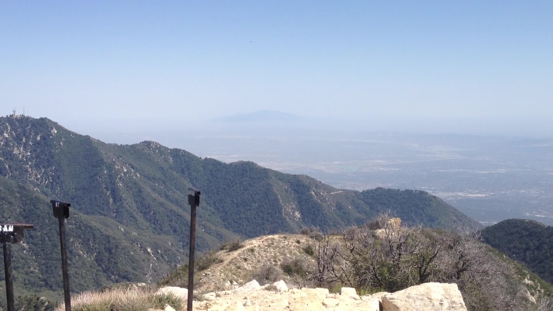
 28 Unfortunately, the summit is a radio/cell installation similar to Santiago Peak. They actually flattened the top of the peak to install this site. |
 29 360 view from the summit. |
 30 Looking out towards the Angeles backcountry. |
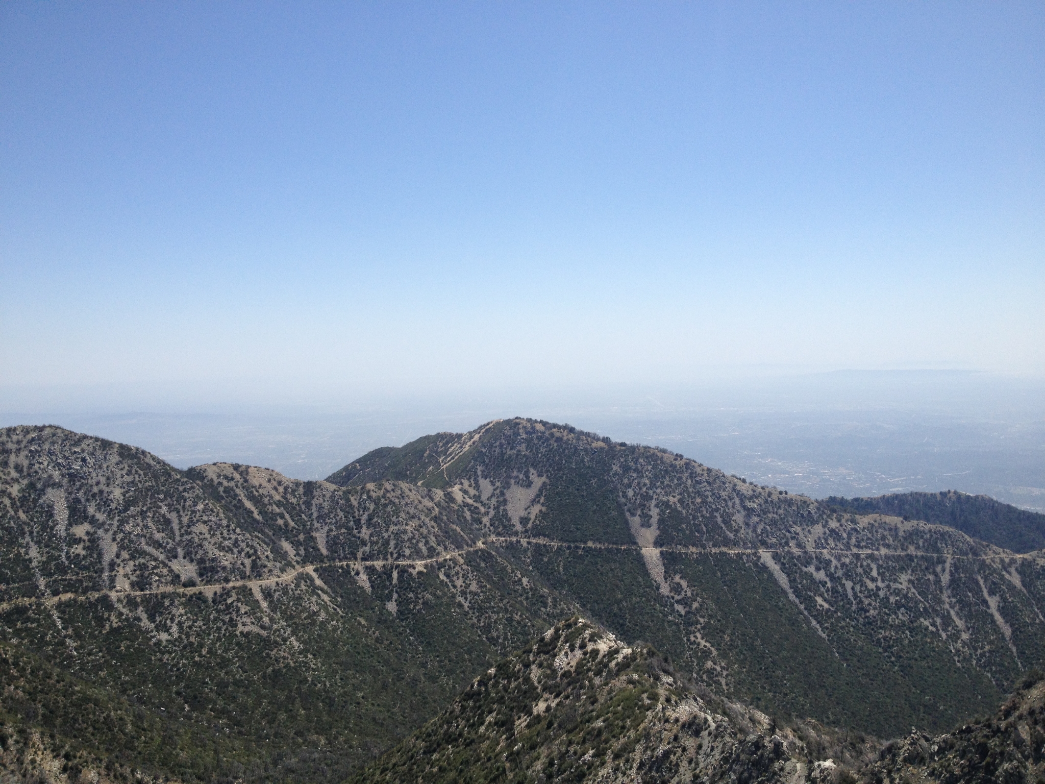
 31 Down from Mt. Disappointment, now heading up to San Gabriel peak. |
 32 Made it to the top of San Gabriel peak, the highest peak in the area at 6,161'. Here looking down at Mt. Disappointment. |
 33 Looking out at Mt. Wilson with San Jancinto in the distance. |
 34 Looking at Mt. Baldy to the East. |
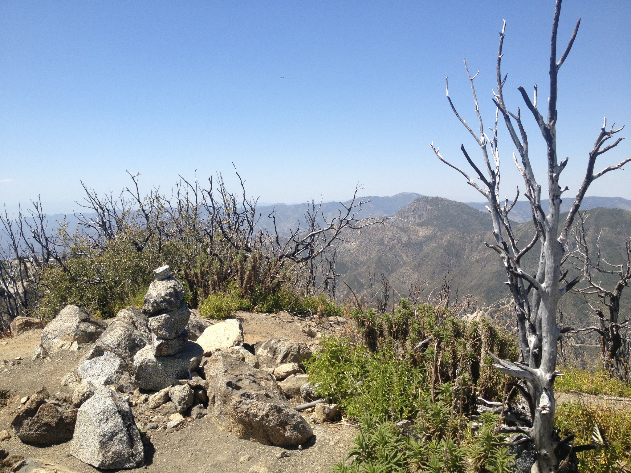
 35 360 view from the San Gabriel summit. |
 36 The summit cairn. |
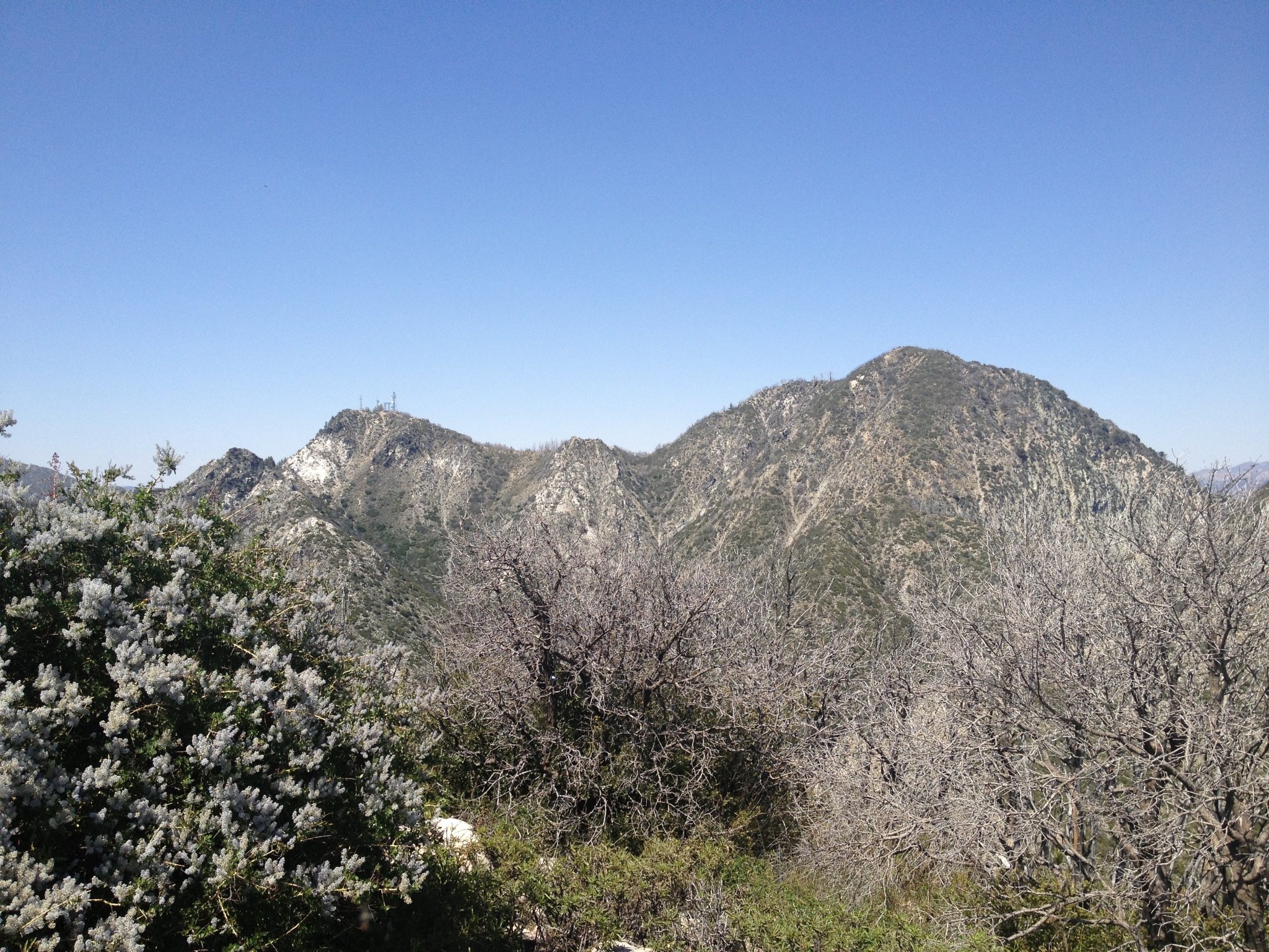 37 I steep, fast downhill from San Gabriel Peak to the saddle and then up to the last of the three summits for the day, Mt. Lowe. Here looking up at Mt. Disappointment and San Gabriel Peak from the Mt. Lowe summit. Hard to believe I was up there less than 20 minutes ago! |
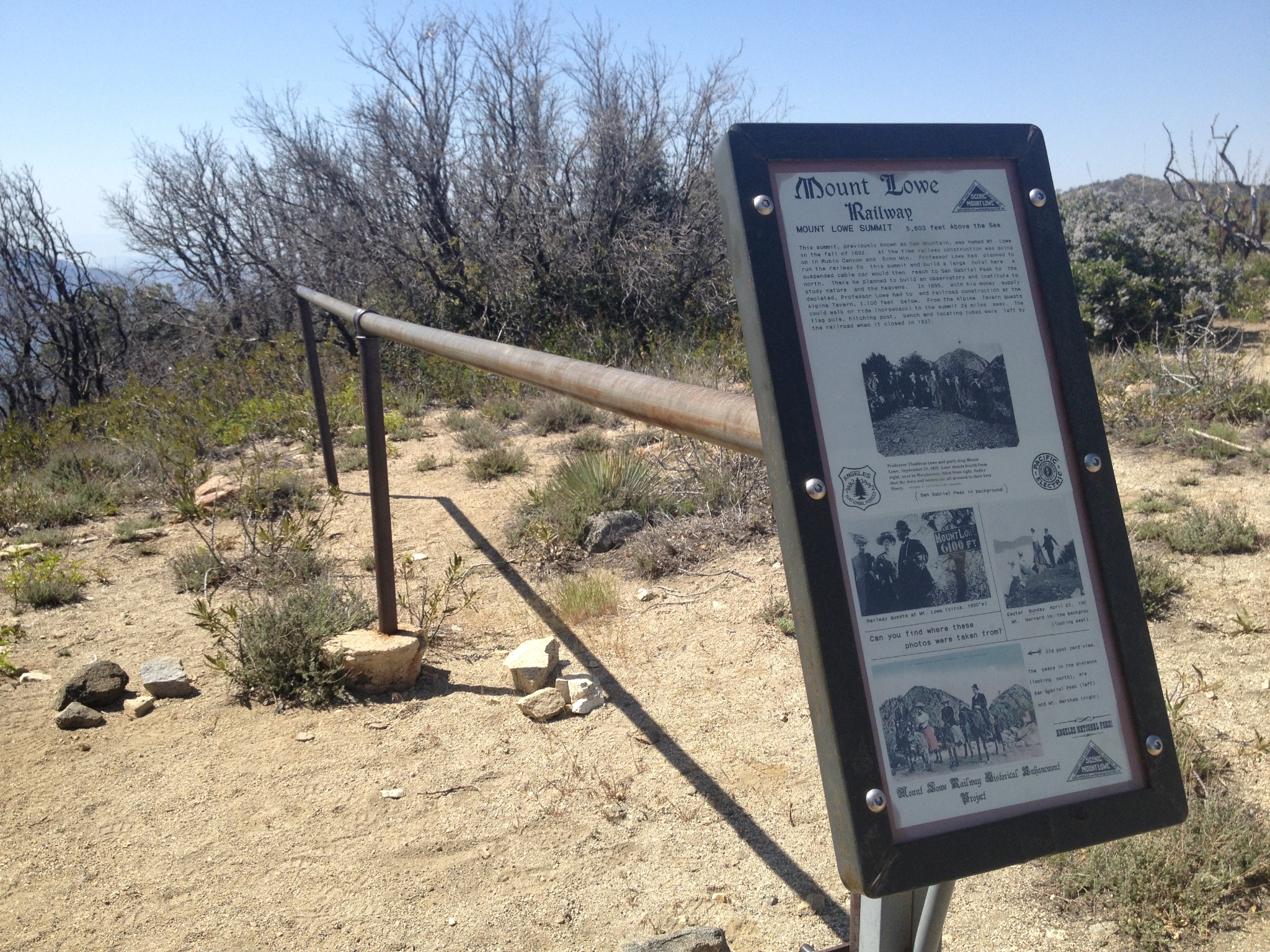 38 Evidently the original plan was to extend the train all the way from Echo Mtn to here. Glad they didn't. This is a horse hitching post dating back over a century. |
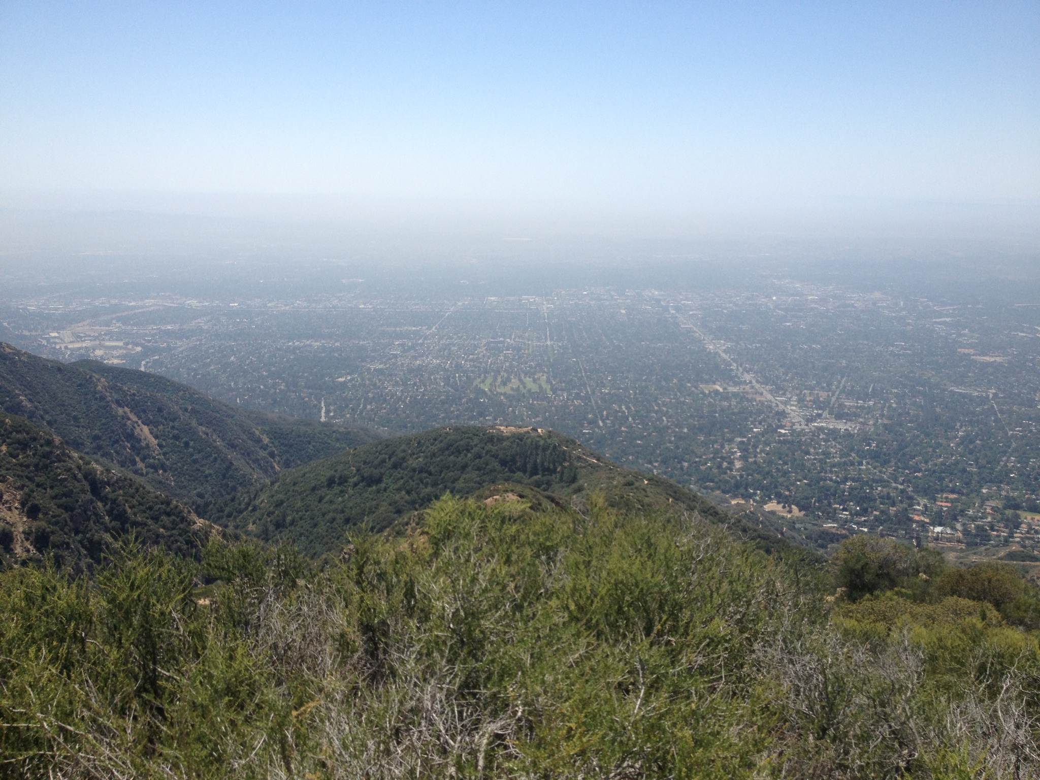
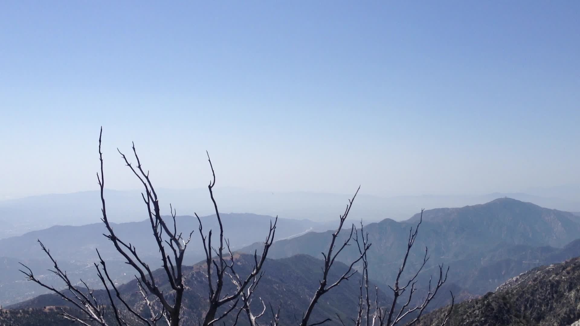
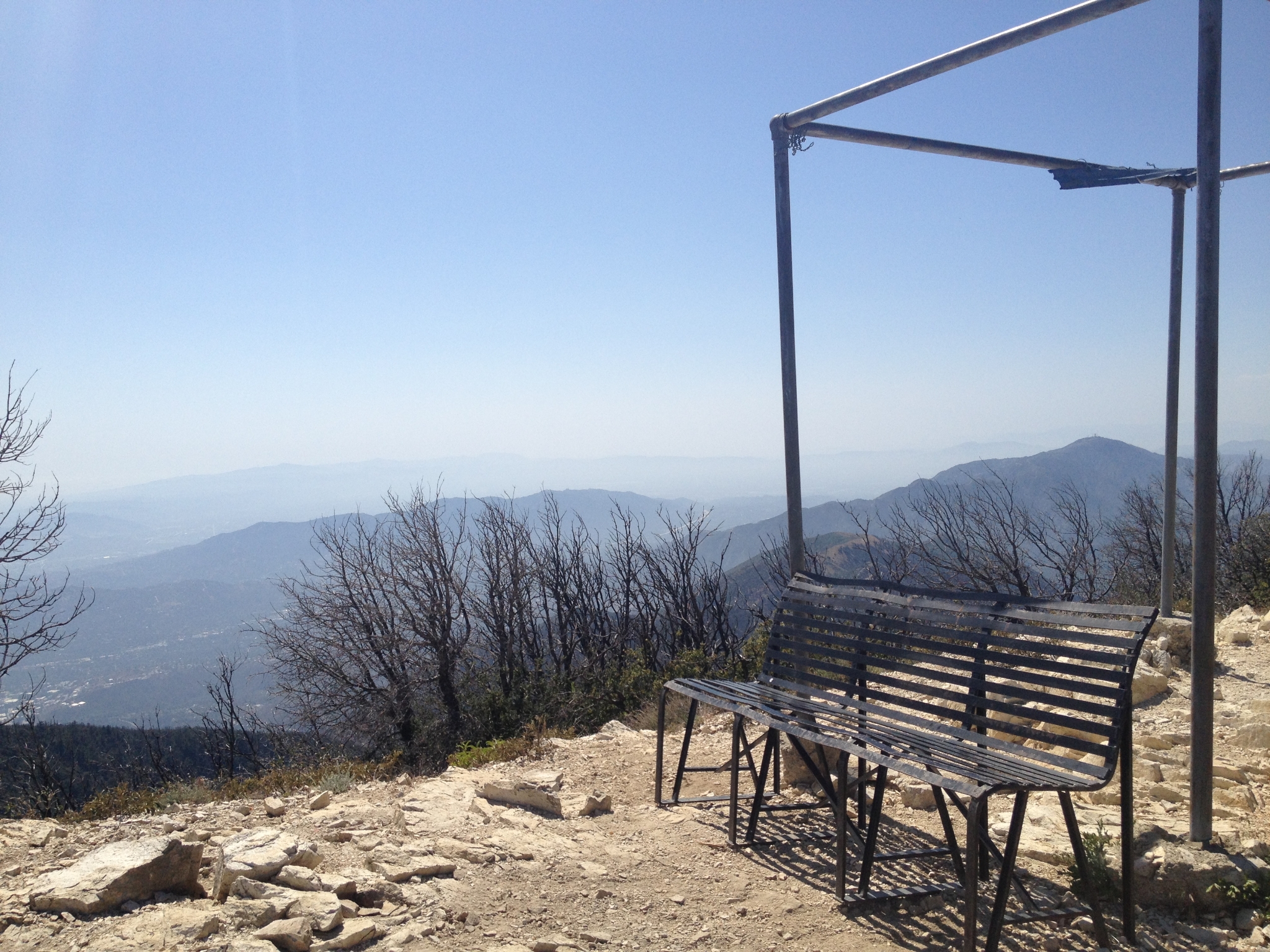 39 Hangout spot on the summit. |
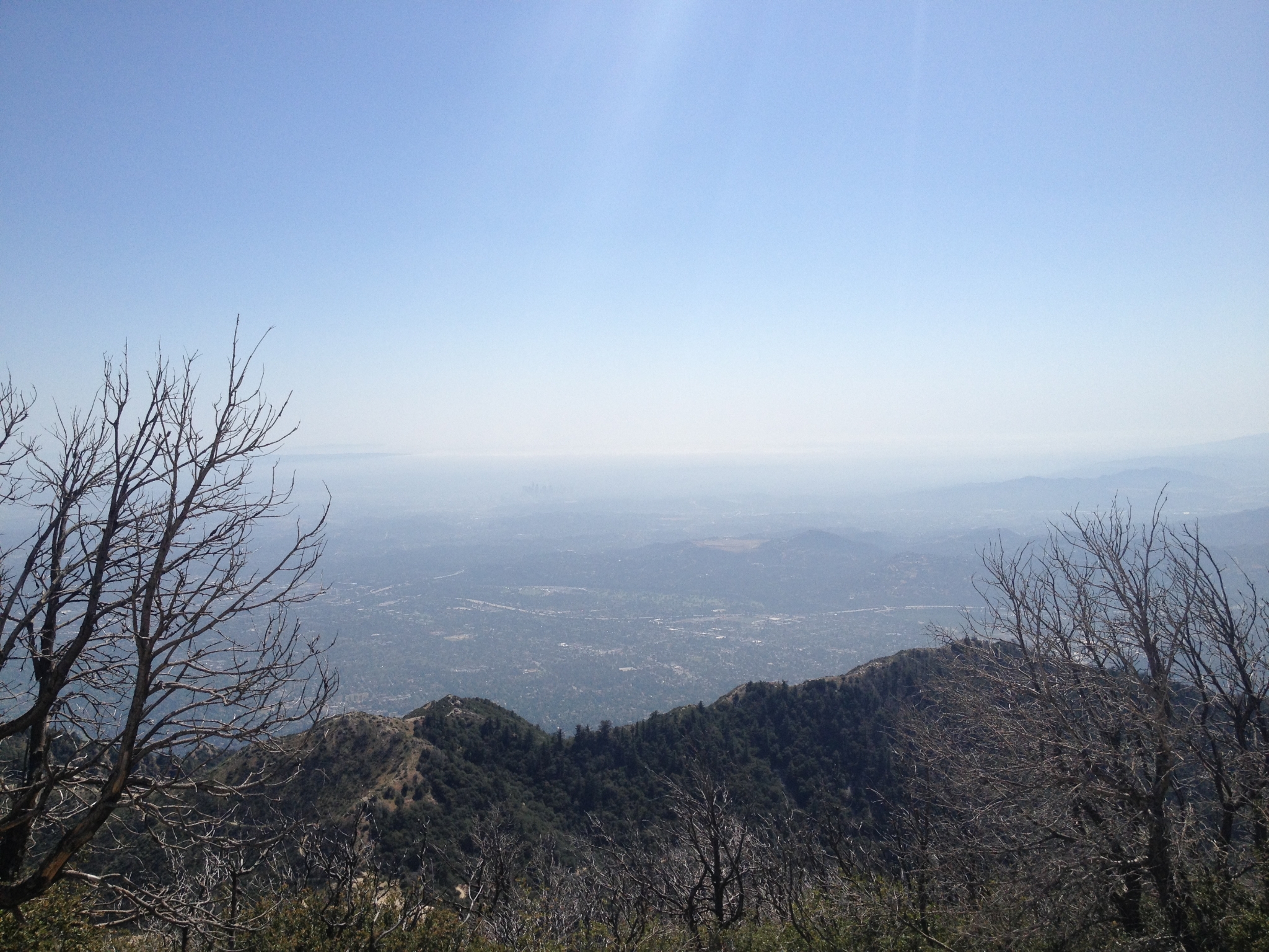 40 The view of Pasadena all the way to the ocean. It's a little too hazy for a really clear view. |
 41 360 view from the Mt. Lowe summit. |
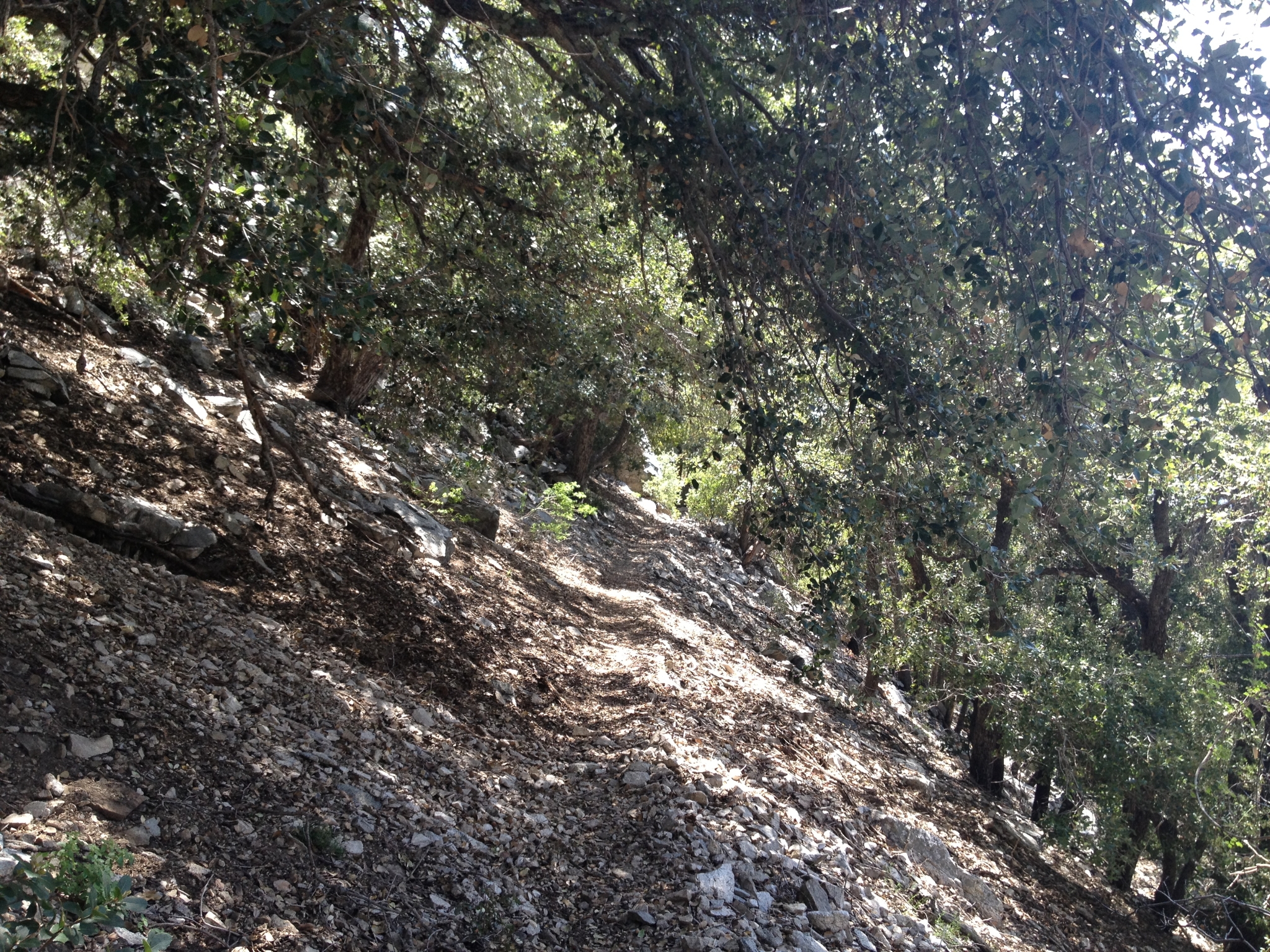
 42 Coming down the West side of the Mt. Lowe loop (I came up the East side) looking down Grand Canyon (yes that is the real name). |
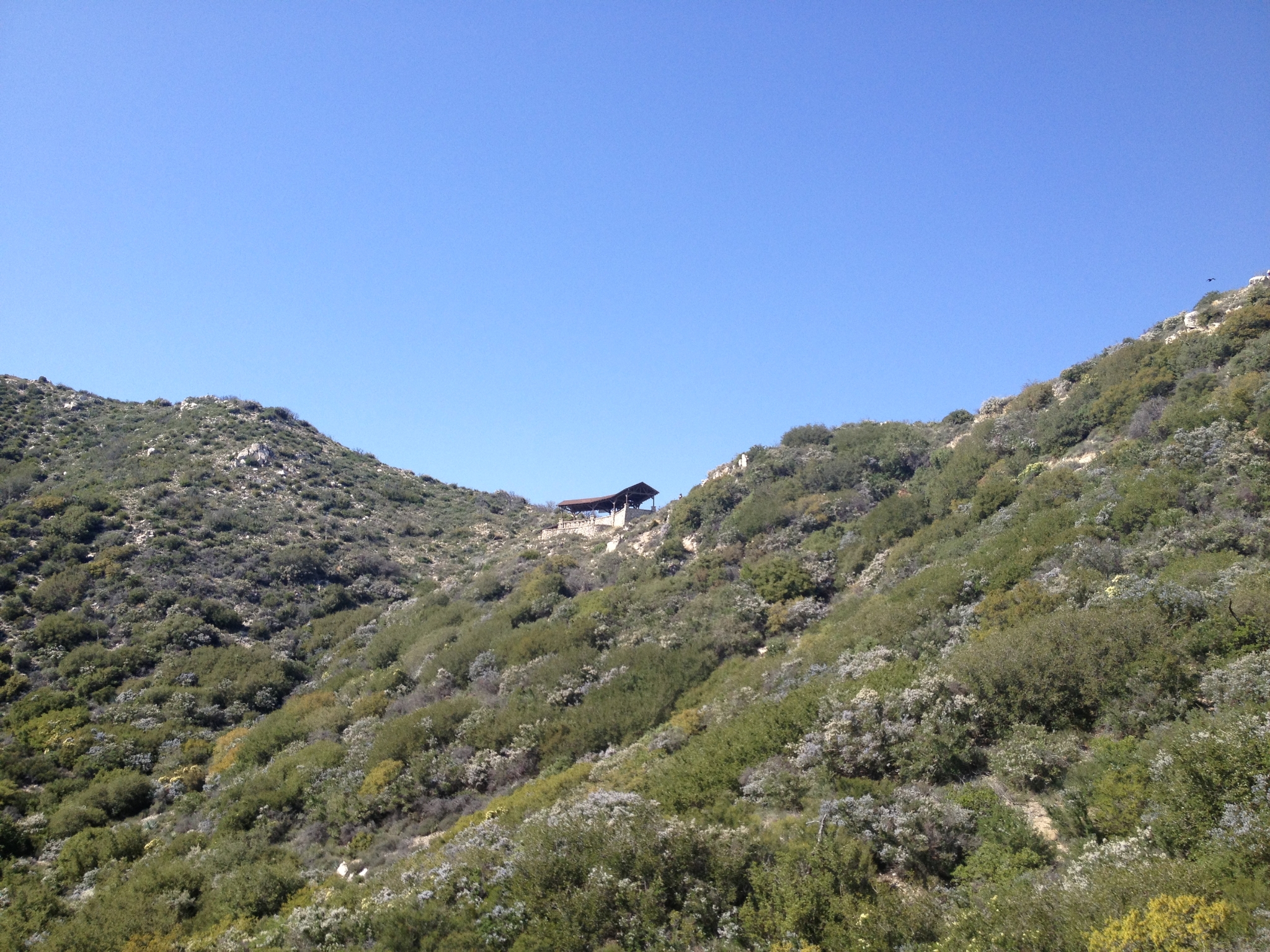
 43 Some great single track in this area. |
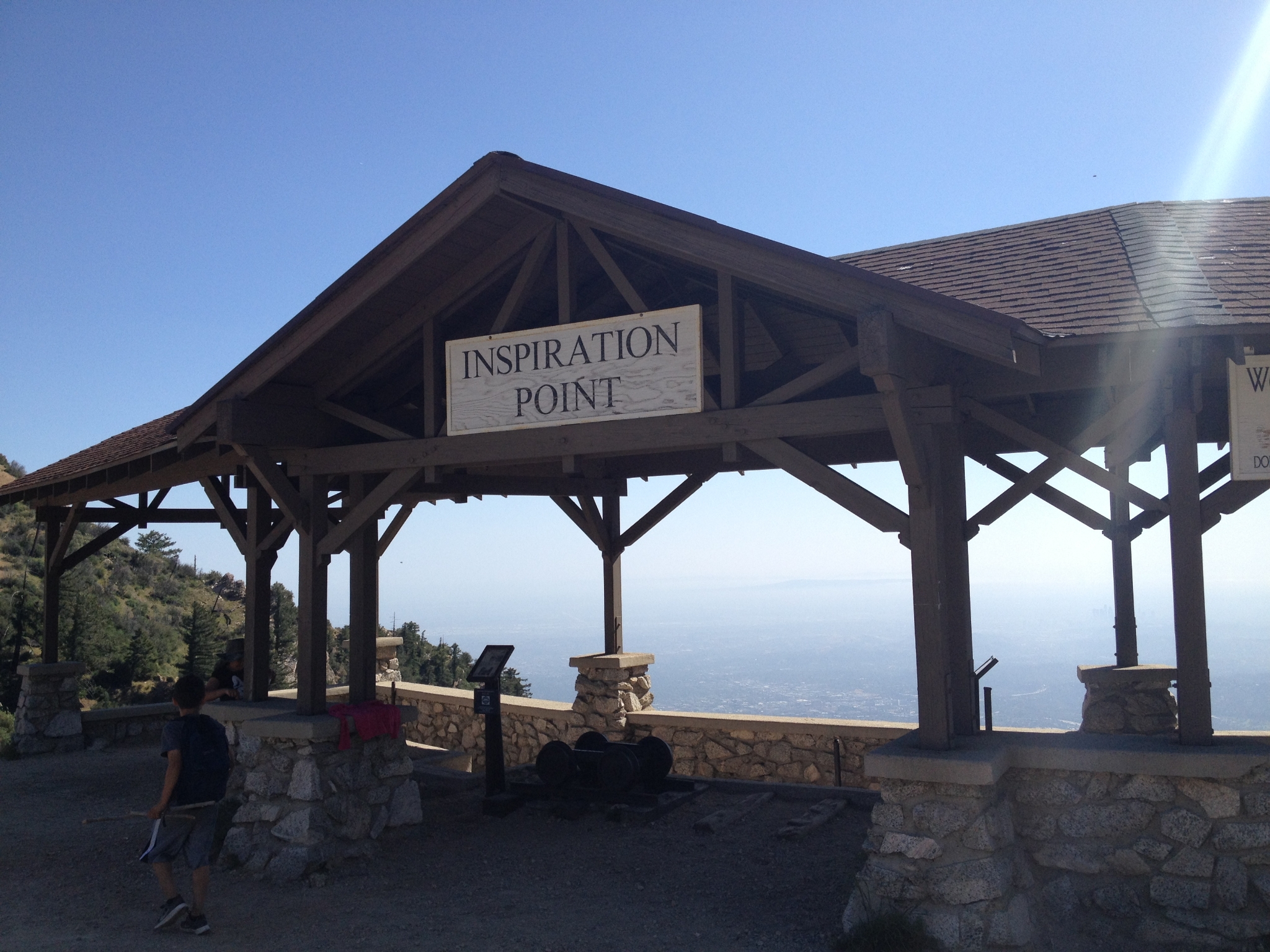 44 Inspiration Point along the ridge at the top of the Castle Canyon trail. |
 45 The view from Inspiration Point. |
 46 Heading down Castle Canyon instead of the San Merril trail to add a little variety. |
 47 Coming down Castle Canyon. |
 48 Looking back up at Inspiration Point. |
 49 It's a beautiful, green canyon with some steep single track. |
 50 Almost back down to Echo Mtn. I had ran out of water with almost 5 miels to go, so the shade here is welcome. Below Echo Mtn, I came across a couple with a large dog, looked like a pit bull mix of some sort. It was suffering from heat stroke and was near death. The owners were looking for help carrying it down. So I helped carry the 90lb dog the last mile or so down the steep trail. I was sad for the dog and mad at the owners. A crazy way to end a tough run. |