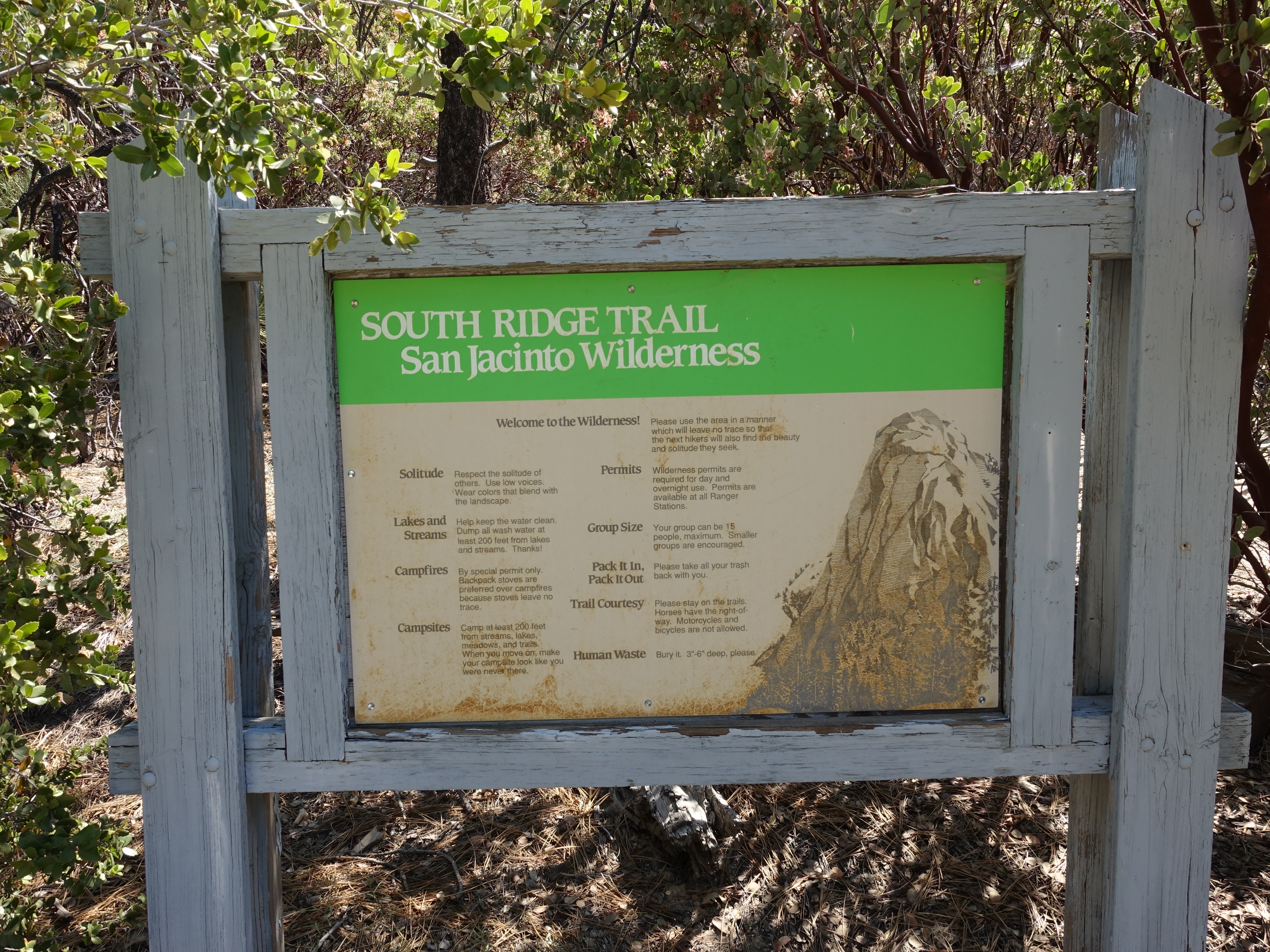
I decided to take the South Ridge Trail for the San Jacinto portion of the 3-day Challenge. It was the only route up San Jacinto that I hadn't tried yet. My…
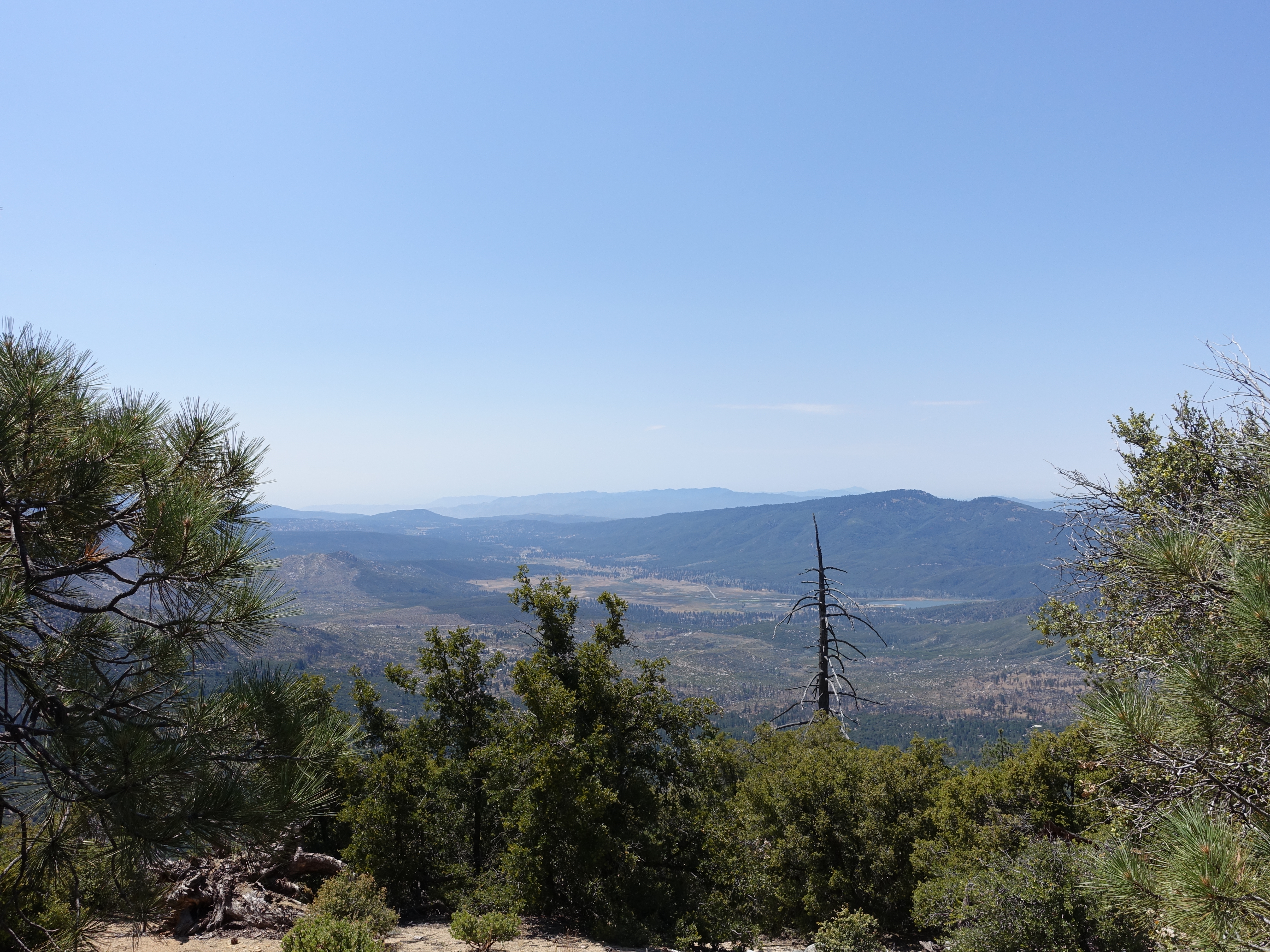
A quick climb with great views of the valley and Lake Hemet below.
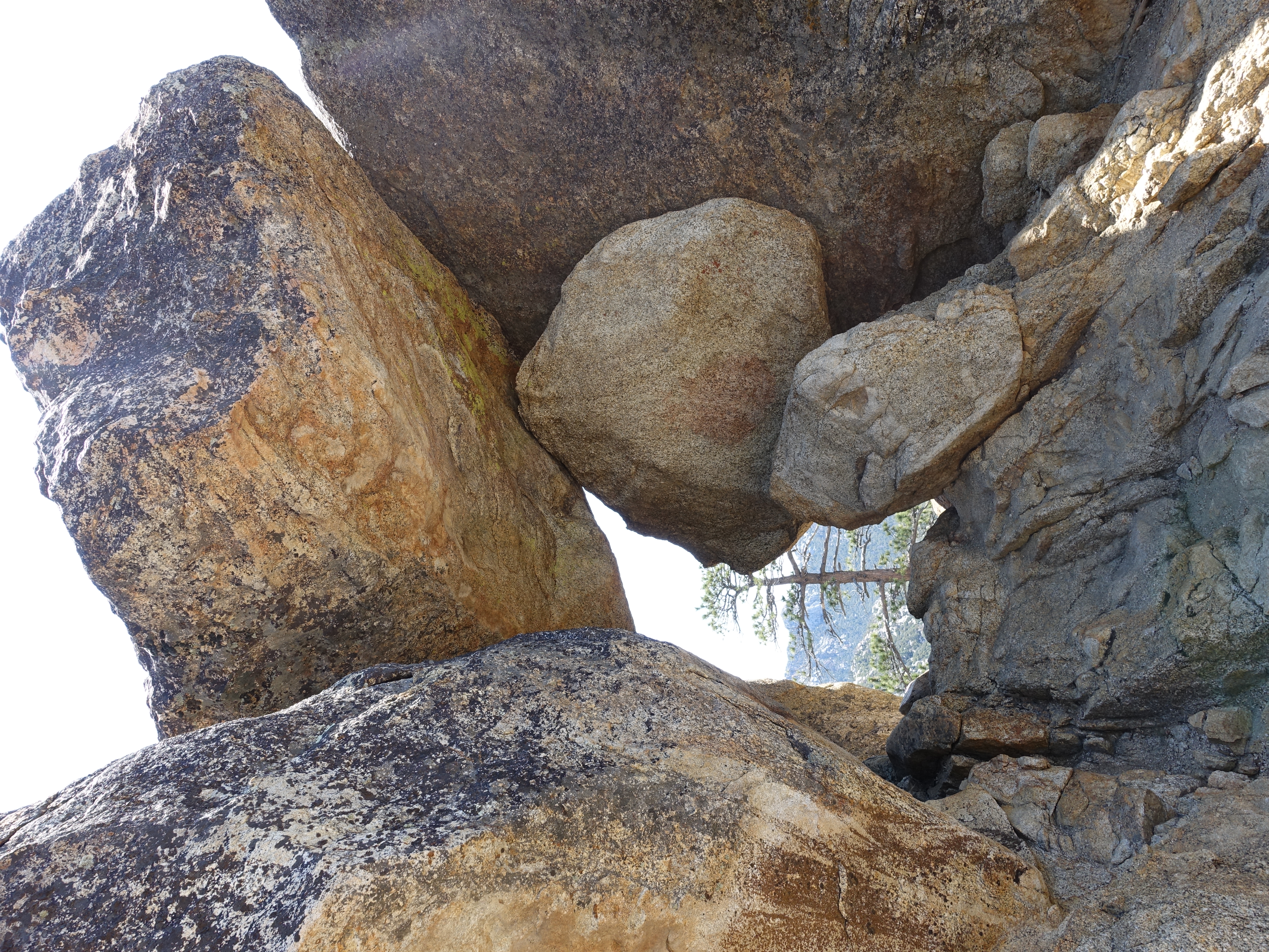
An interesting rock frame.
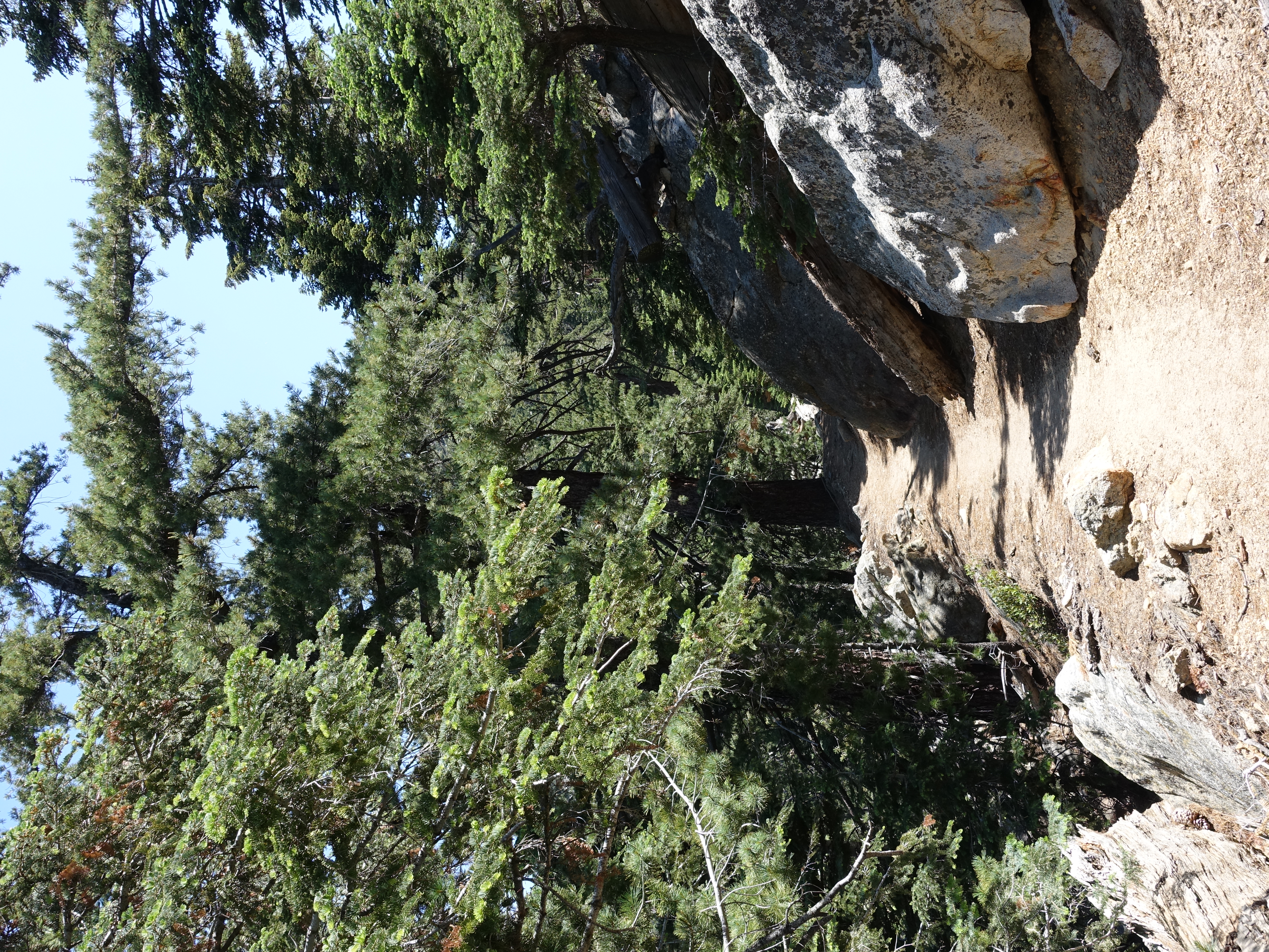
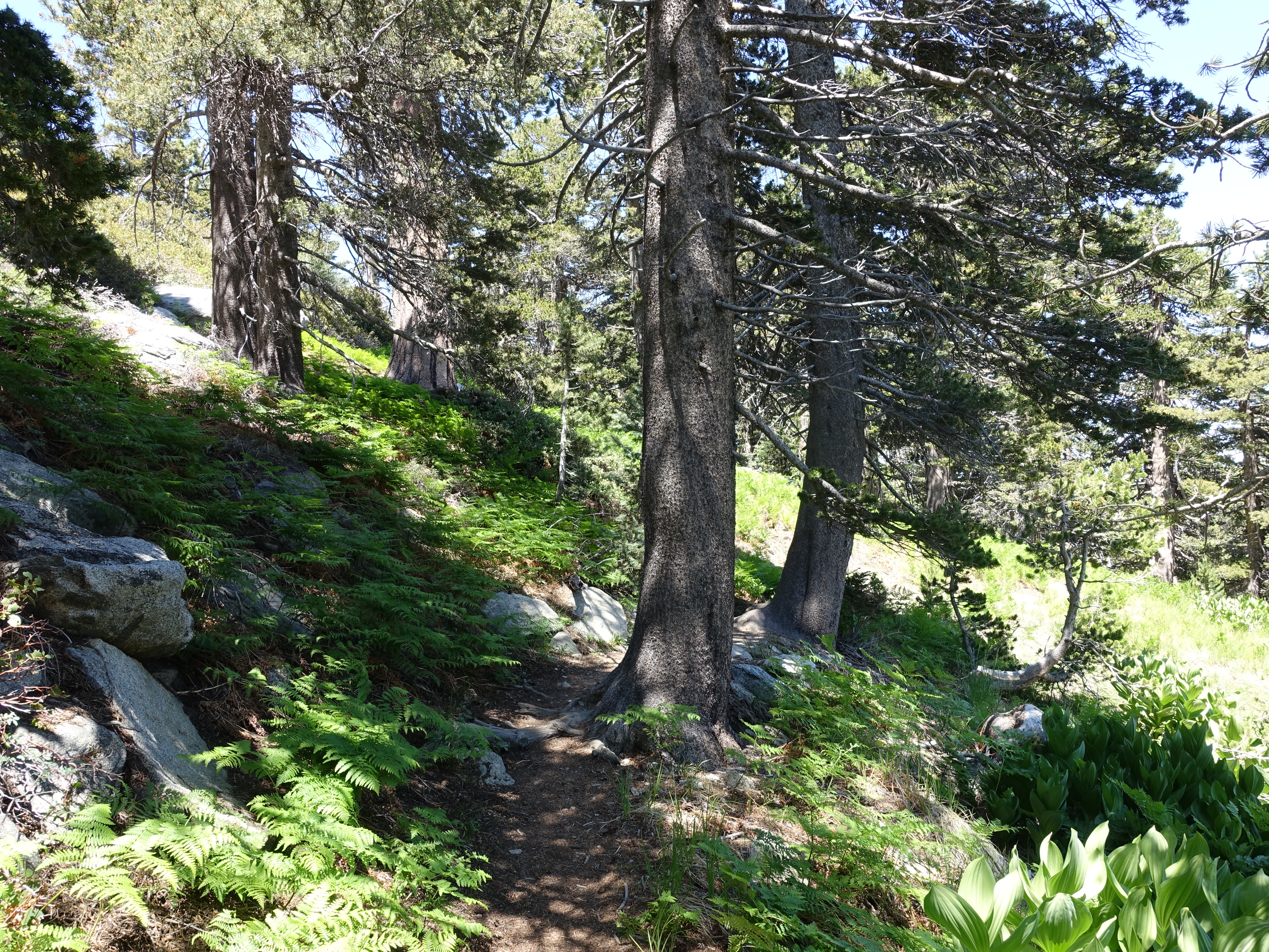
Fantastic singletrack.

Made it to the top of Tahquitz Peak at 8,846', one of the more interesting little summits I've been on recently. There are great views and an old fire…
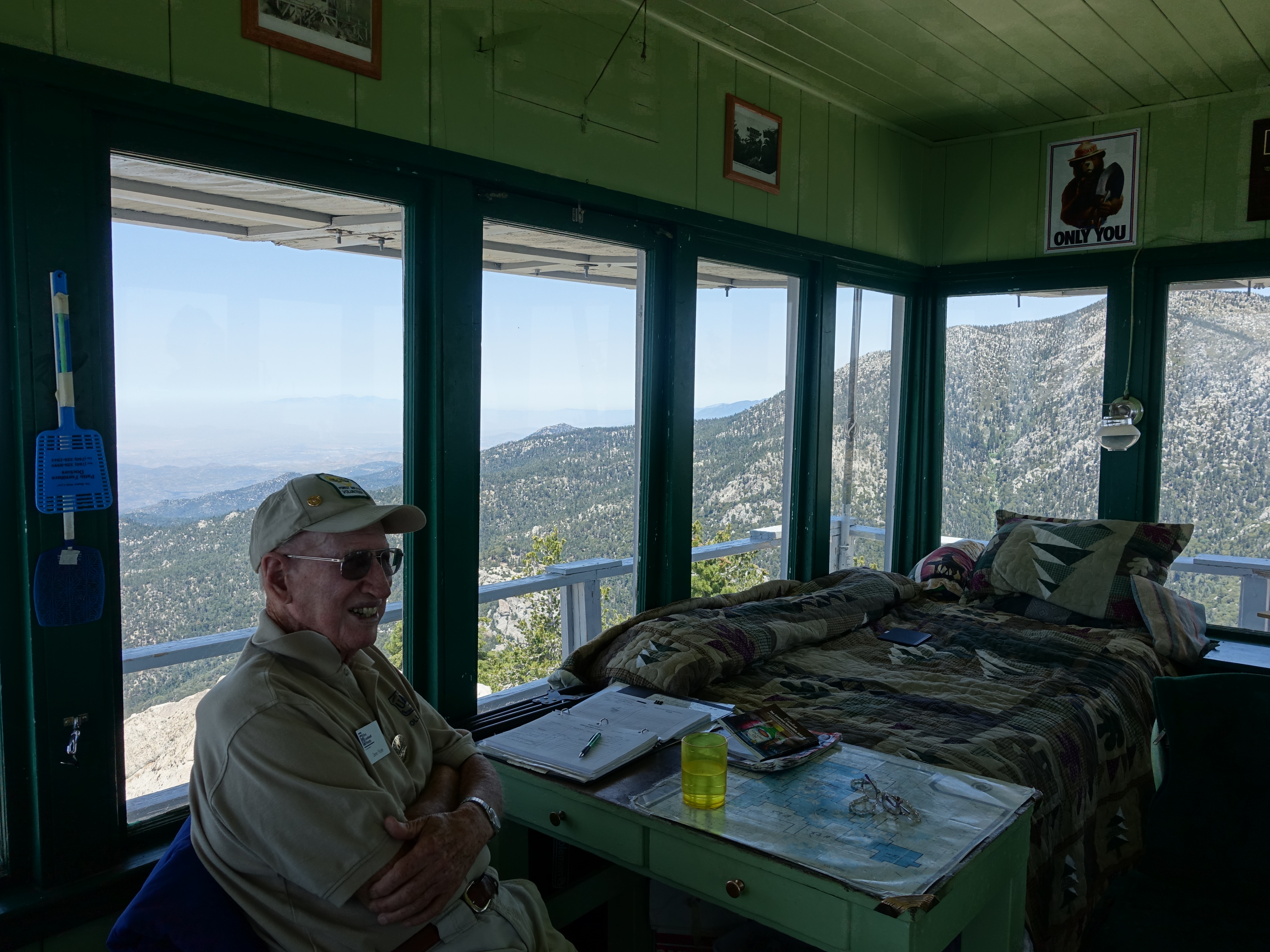
Here is the 89 year old watchman that hikes up to the tower with his wife every Monday, stays all week, and then hikes down on Friday. Aside from actually…

The map and sighting tool used to triangulate the exact position of any fire that's spotted. Note their cooking stove in the background.

Tahquitz Peak summit marker.
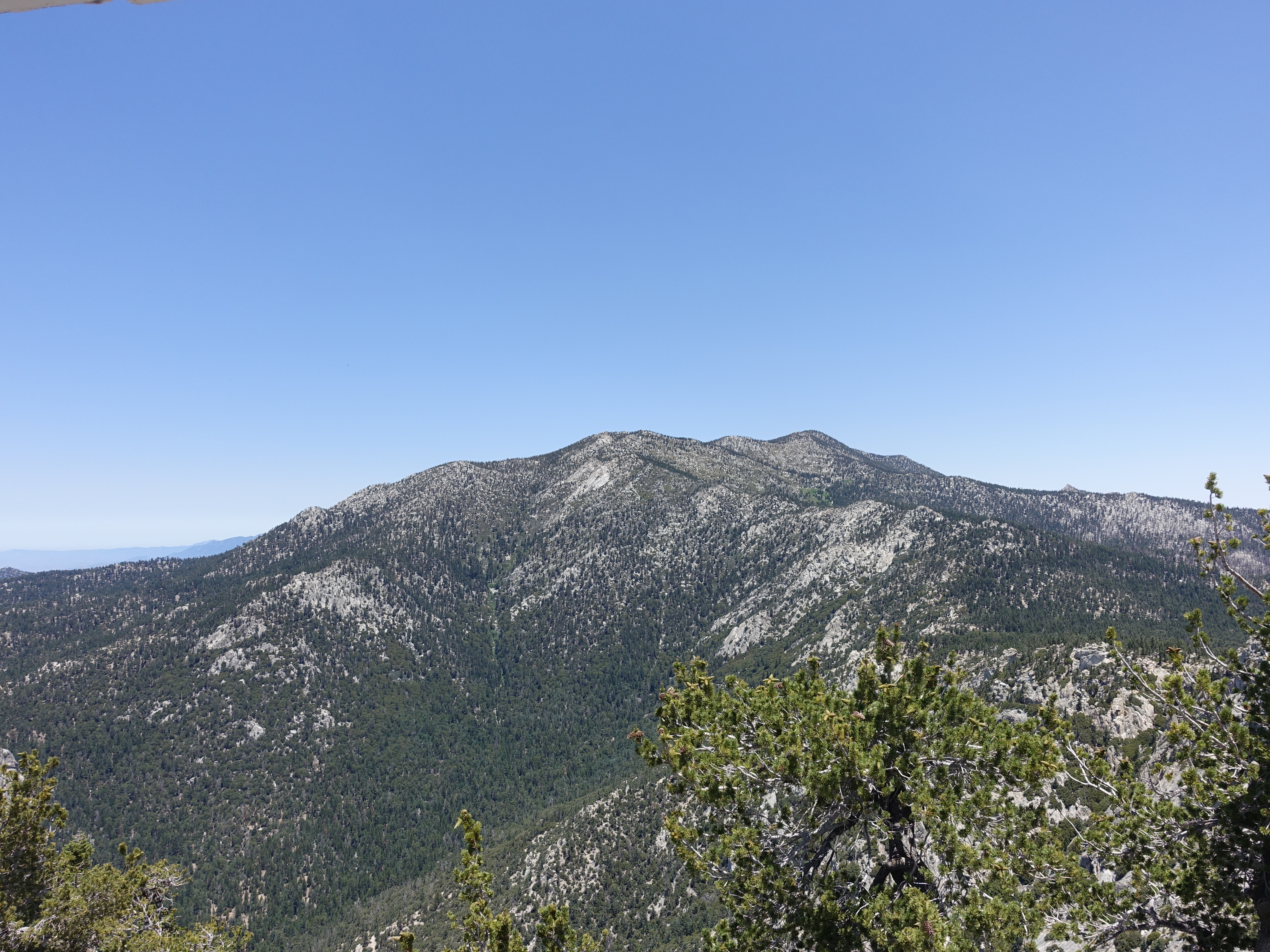
View of San Jacinto from the watchtower.
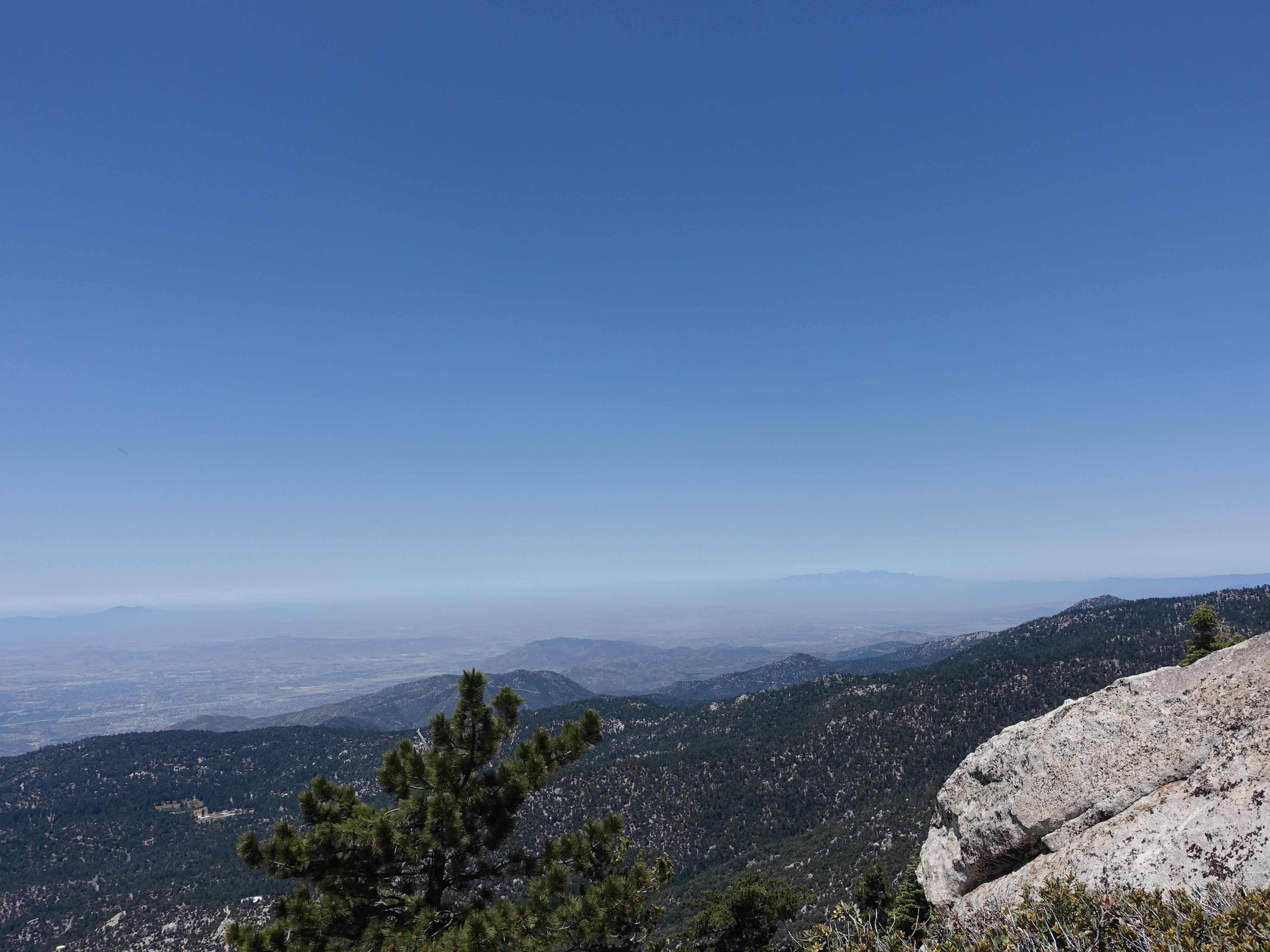
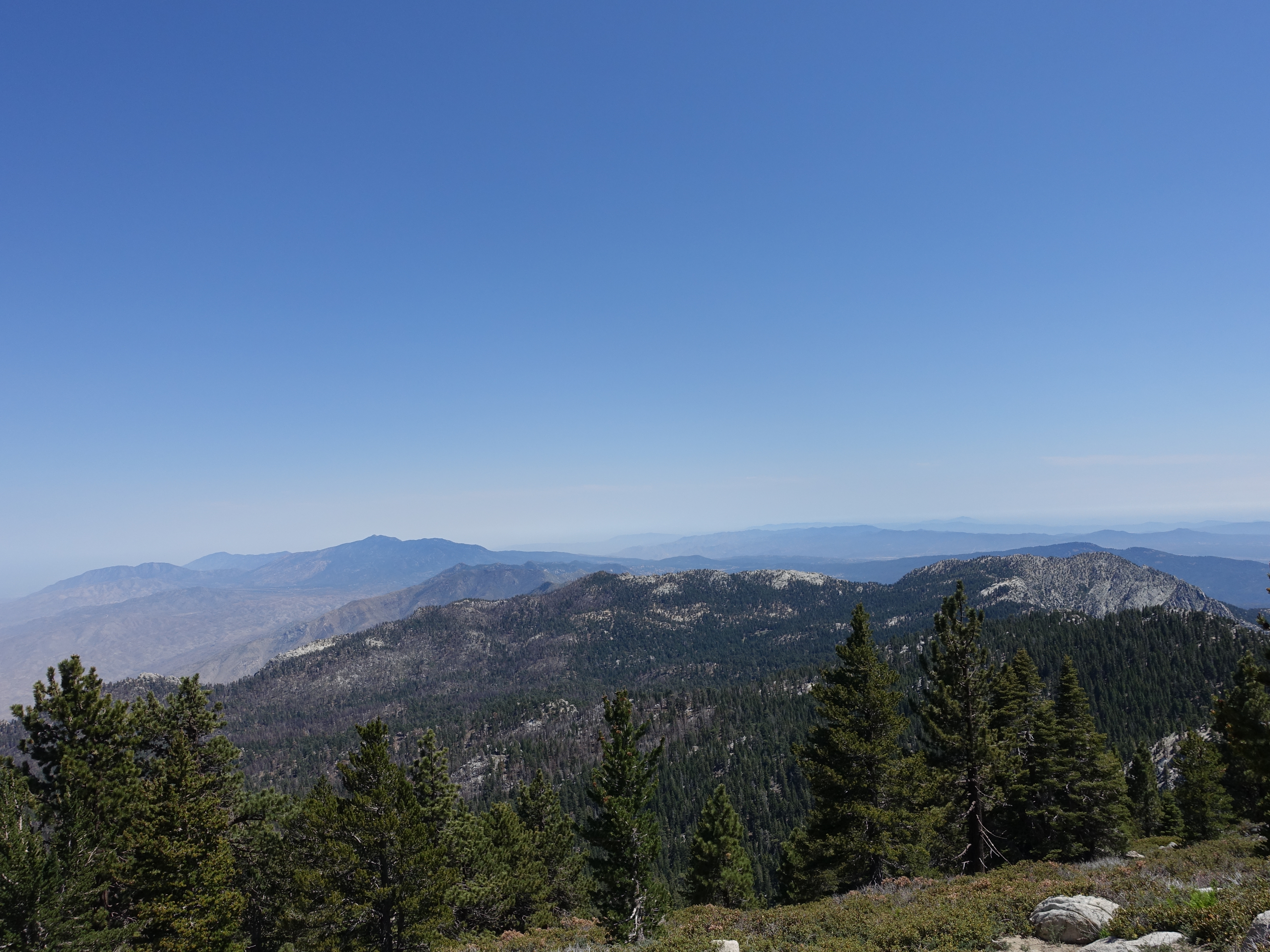
View of Mt. Baldy and Santiago in the distance.

360 video taken while walking around the watchtower catwalk.

Heading on now, here's a view of the ridgeline leading to the San Jacinto summit.

Hiking up the ridge looking back at a great view of Tahquitz Peak.

On to the PCT now and some of the best singletrack in SoCal.

Lots of trails merging in this area. The South Ridge trail is now merged with the Devil's Slide trail from Humber Park.
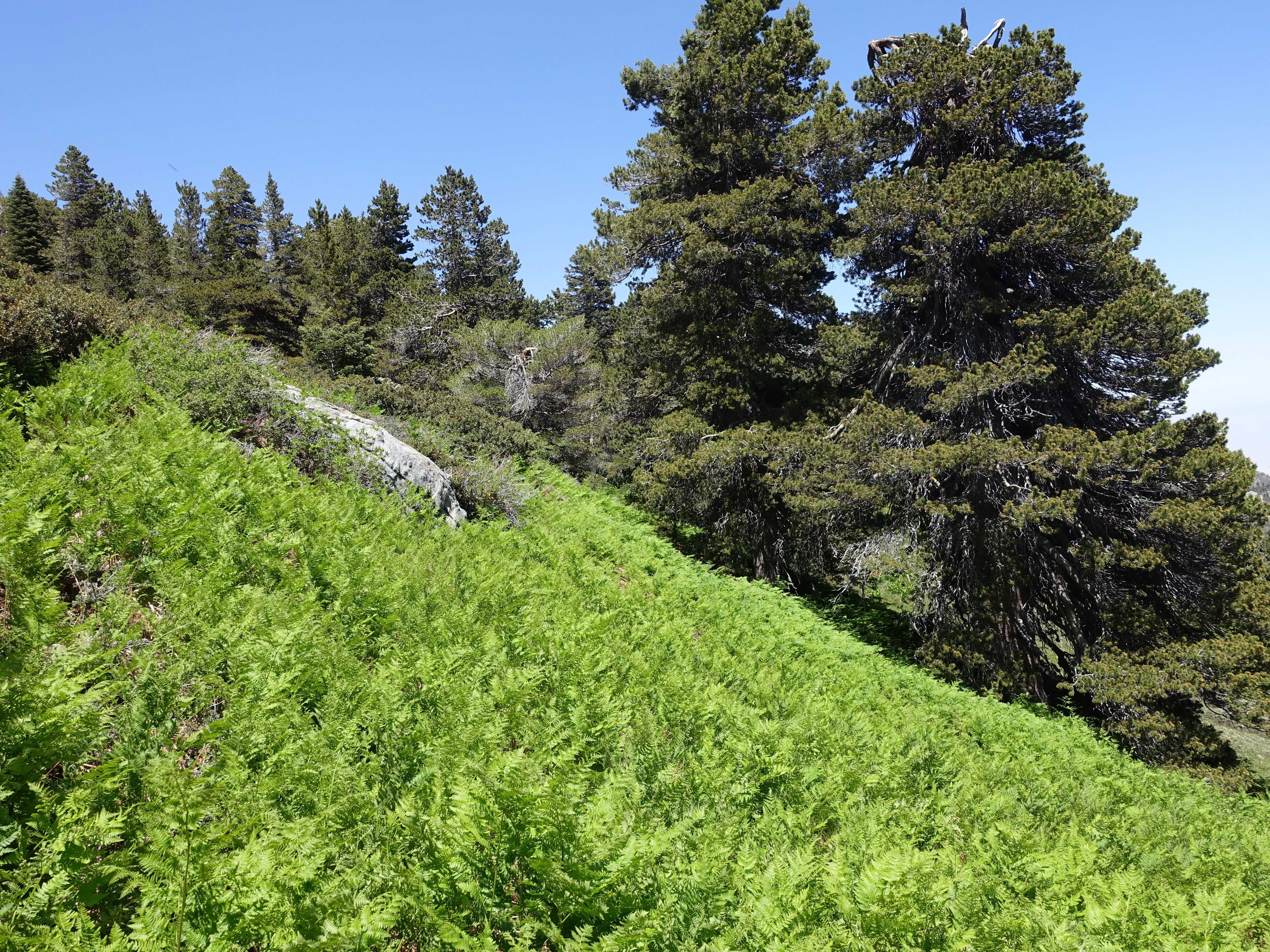
Wellman's Cienga. Still one of my favorite spots in all of SoCal. The ferns aren't nearly as big as when I was here in a wet year, but at least they're still…
Tough to beat the singletrack here, even in a dry year.
Wellman's Divide. I never knew previously that was Tahquitz Peak on the right. I've also wondered what that black peak is in the distance. I definitely want to…
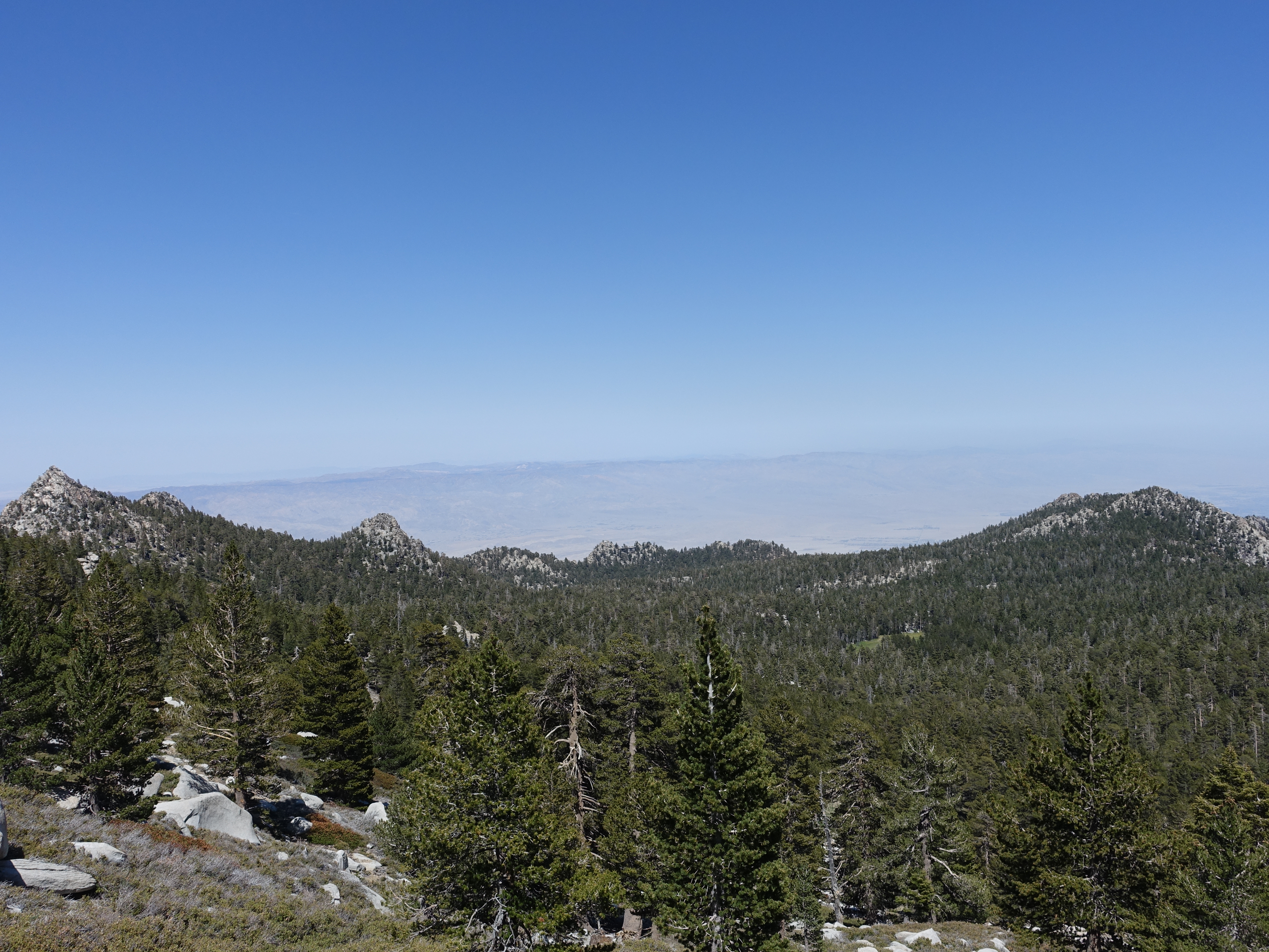
Looking down at Round Valley with Cornell Peak on the left and the Long Valley tram station in the middle along the ridge. The traffic on the trail is starting…

Another view of the mysterious black mountain in the distance.