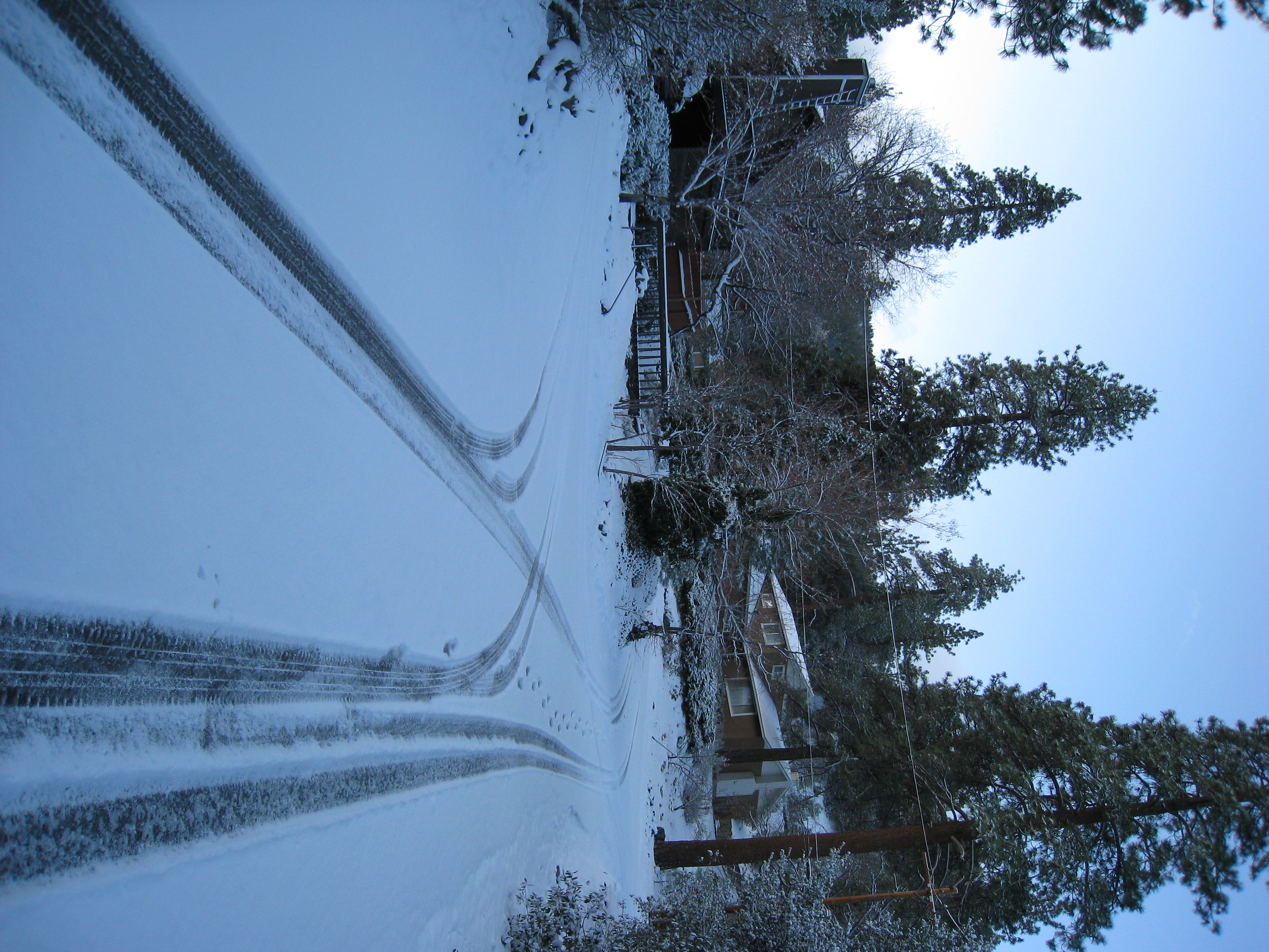
So, I'm, out eating dinner at 7:00pm the night before the hike thinking it was going to be a warm weekend (it had been unseasonably warm all week). Curious to…
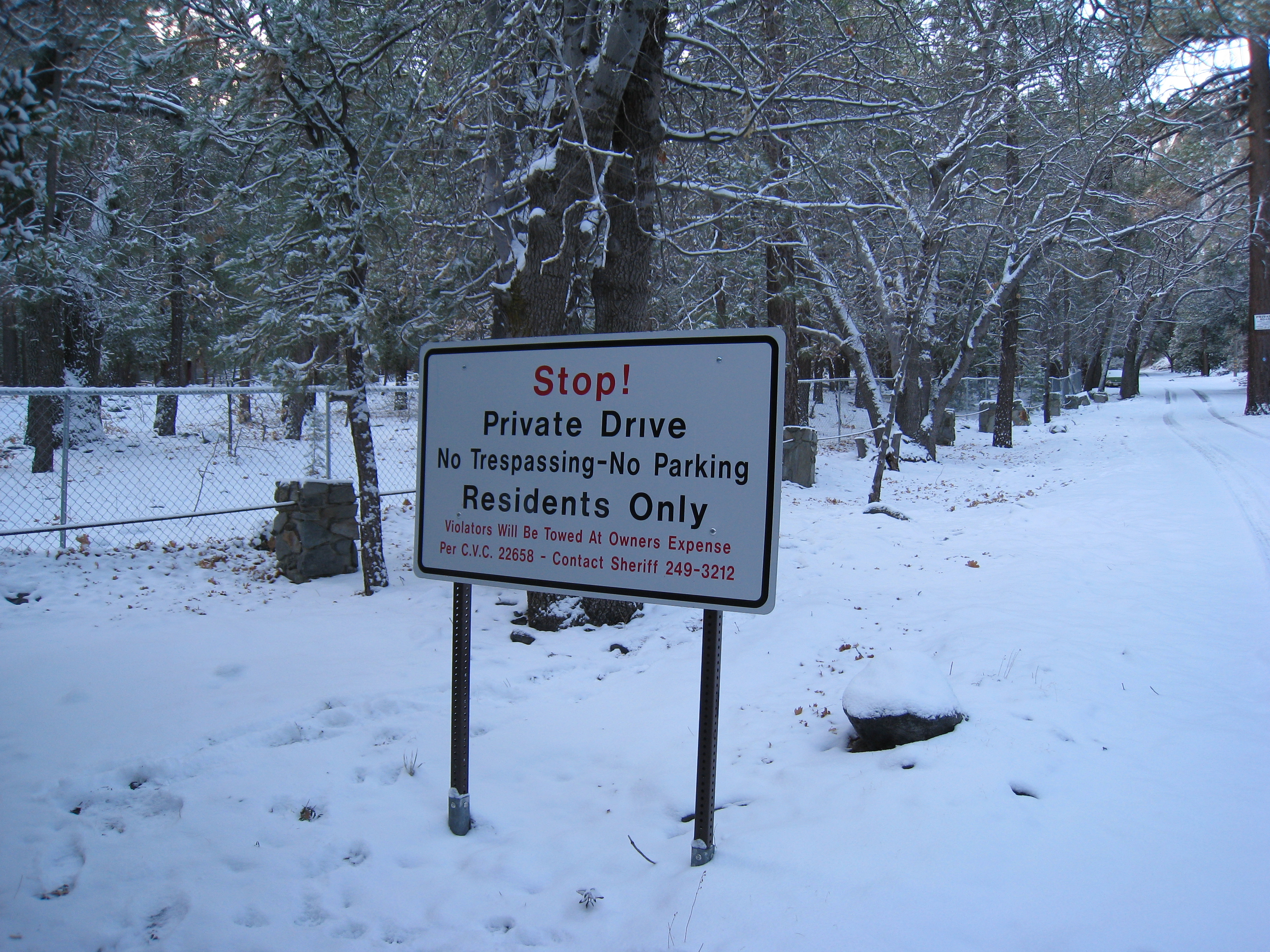
One of several "No Tresspassing" signs you have to pass to make it to the trailhead. I wonder if they really mean it?
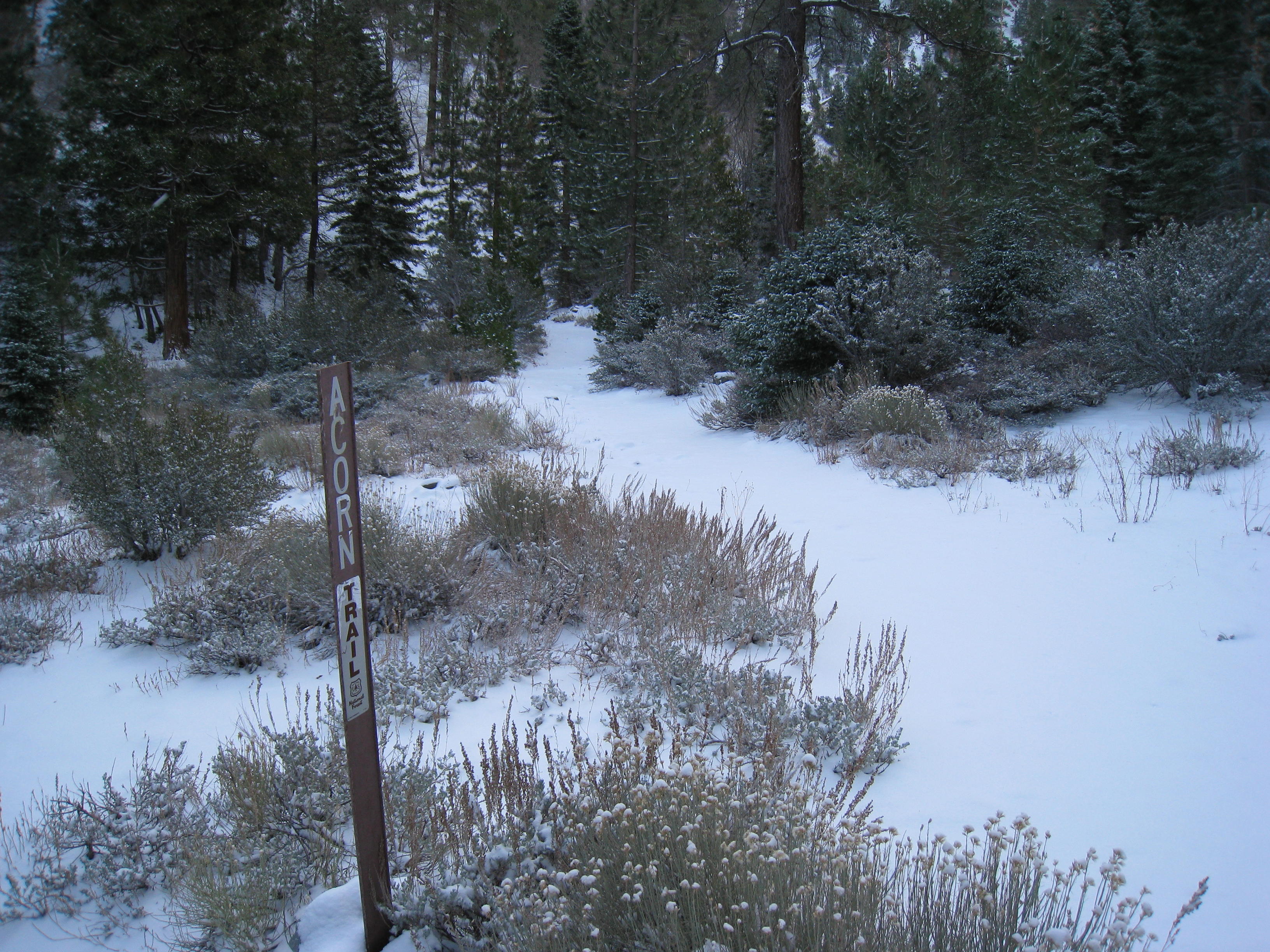
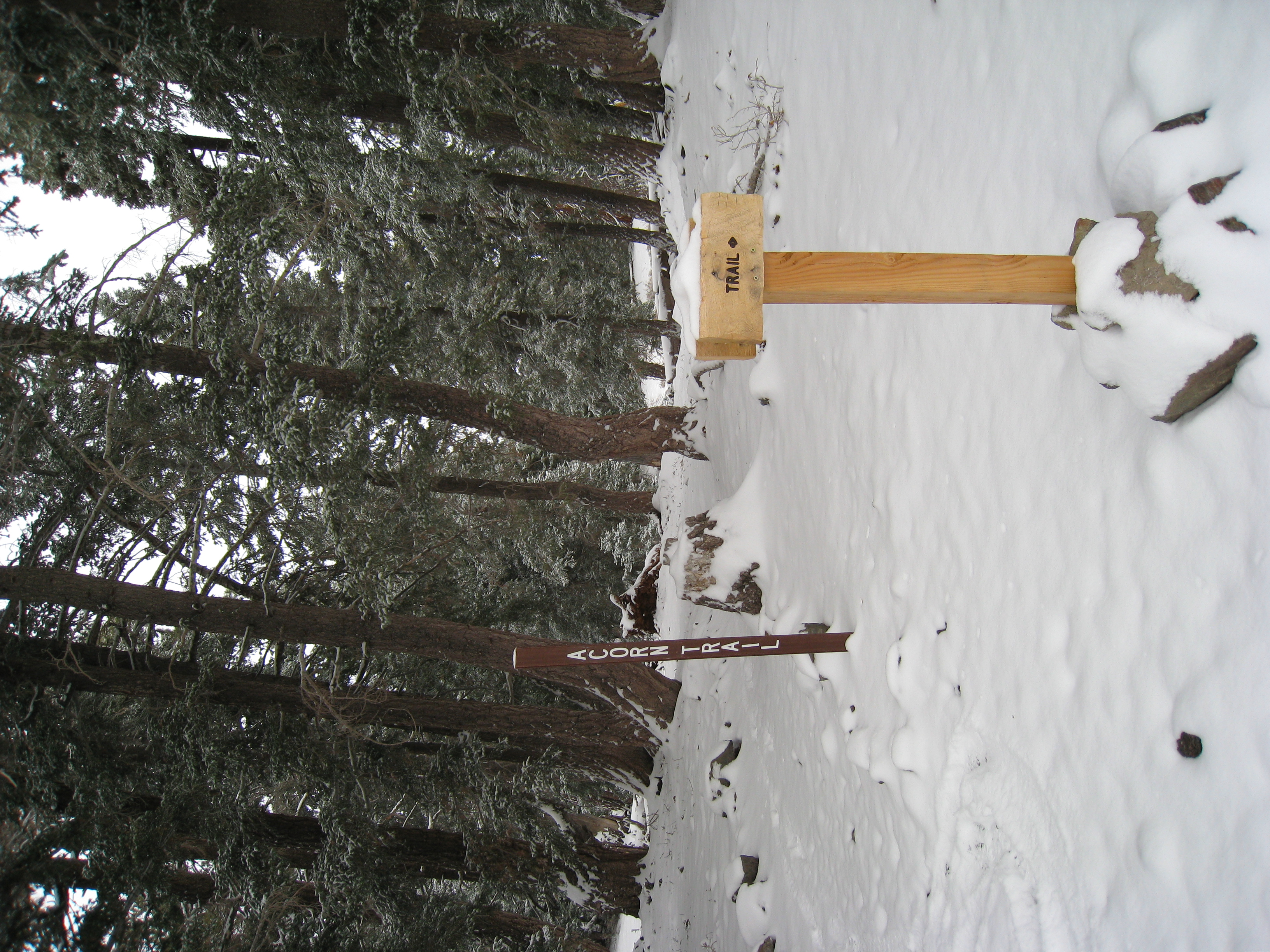
Start of the Acorn trail. Now that I know exactly where it is, it didn't take me 45 minutes to find like last time.

This trail is wide and easy to see, should be no problem finding the trail here. BUT, the bite valve for my hydration bladder is completely frozen. I have to…
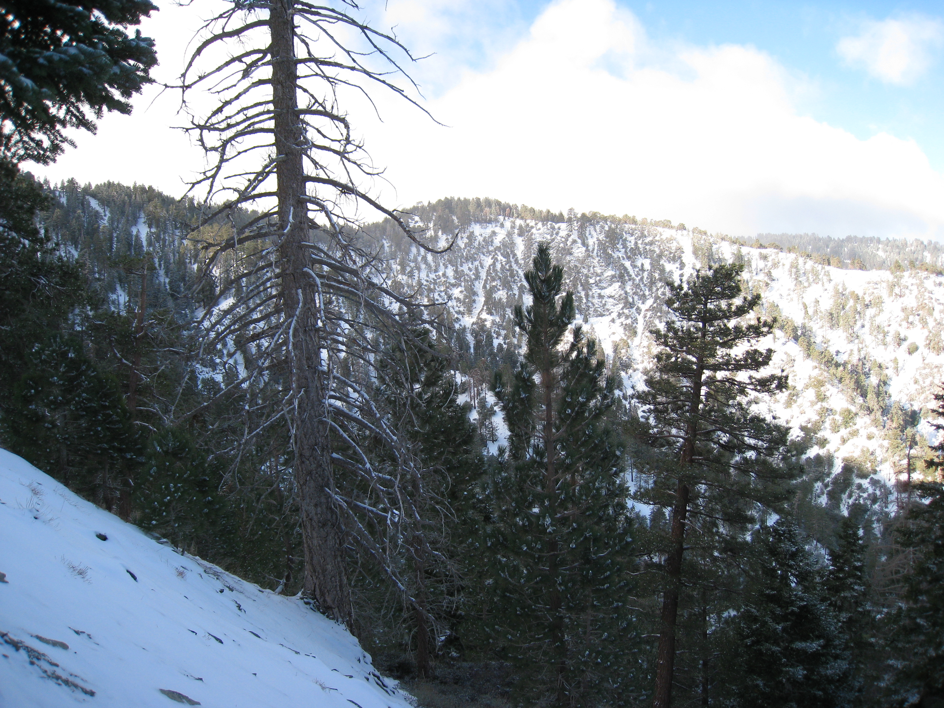
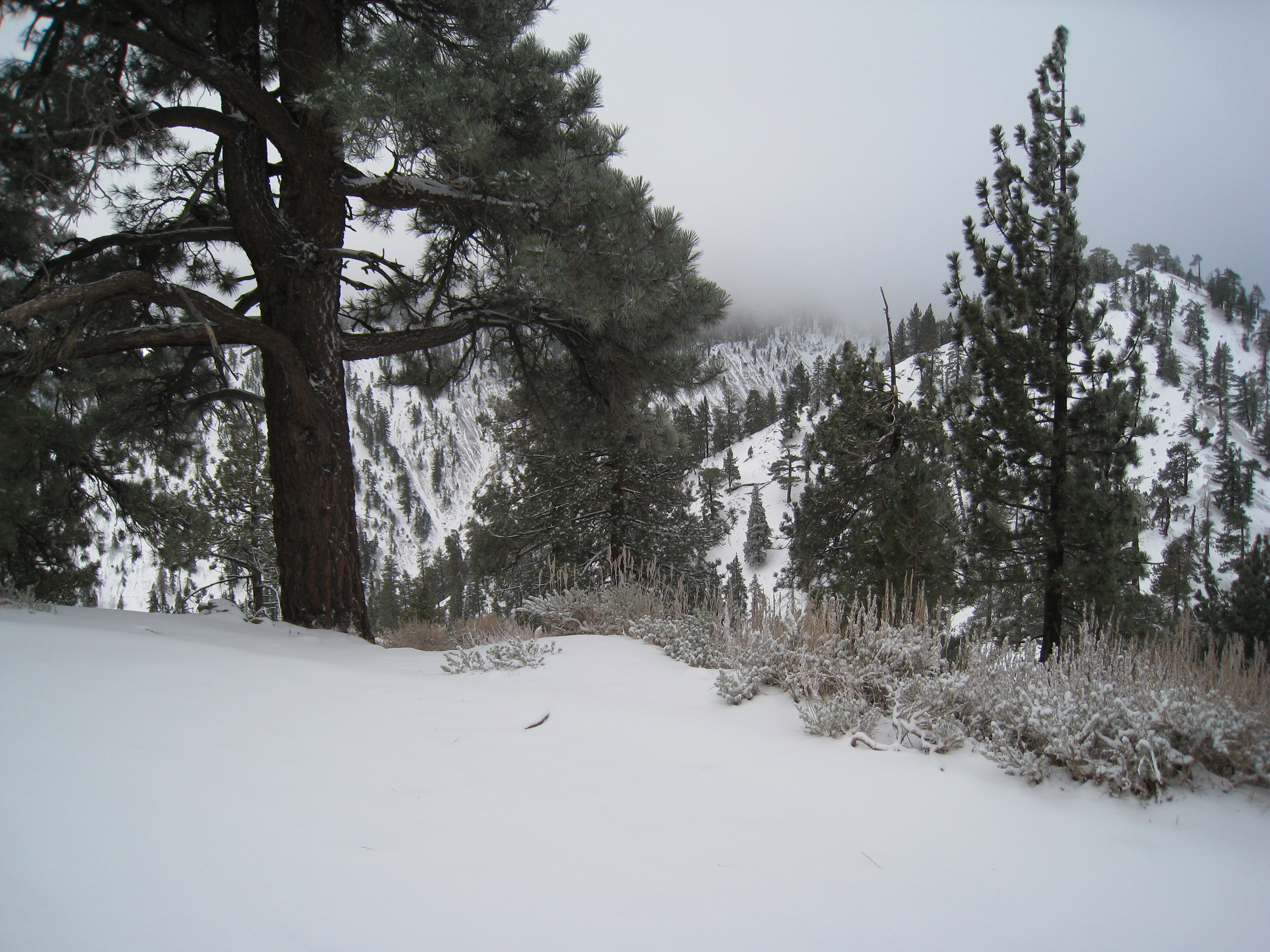
A nice morning view. I might luck out and have clear skies for the day. Or not...
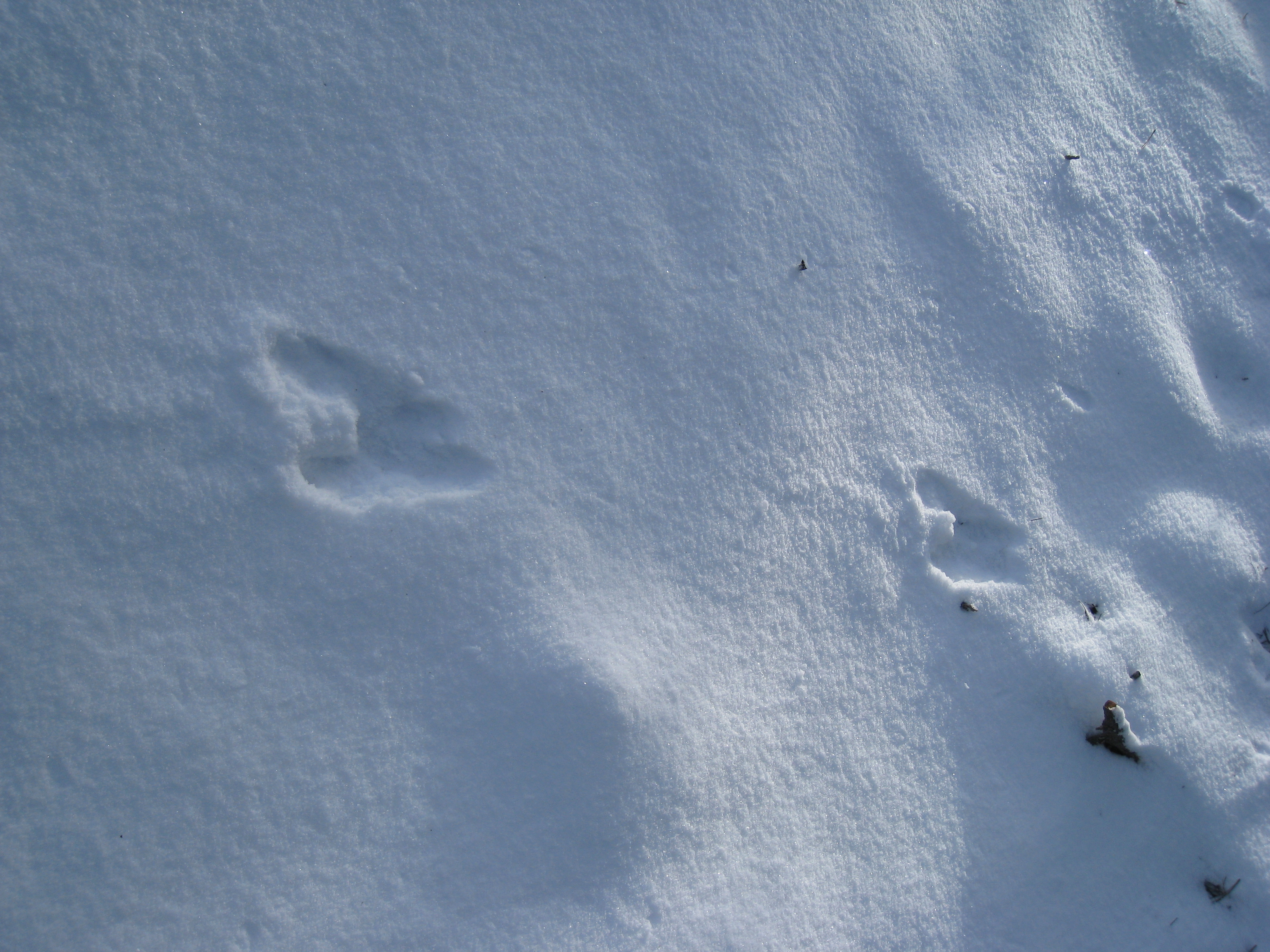
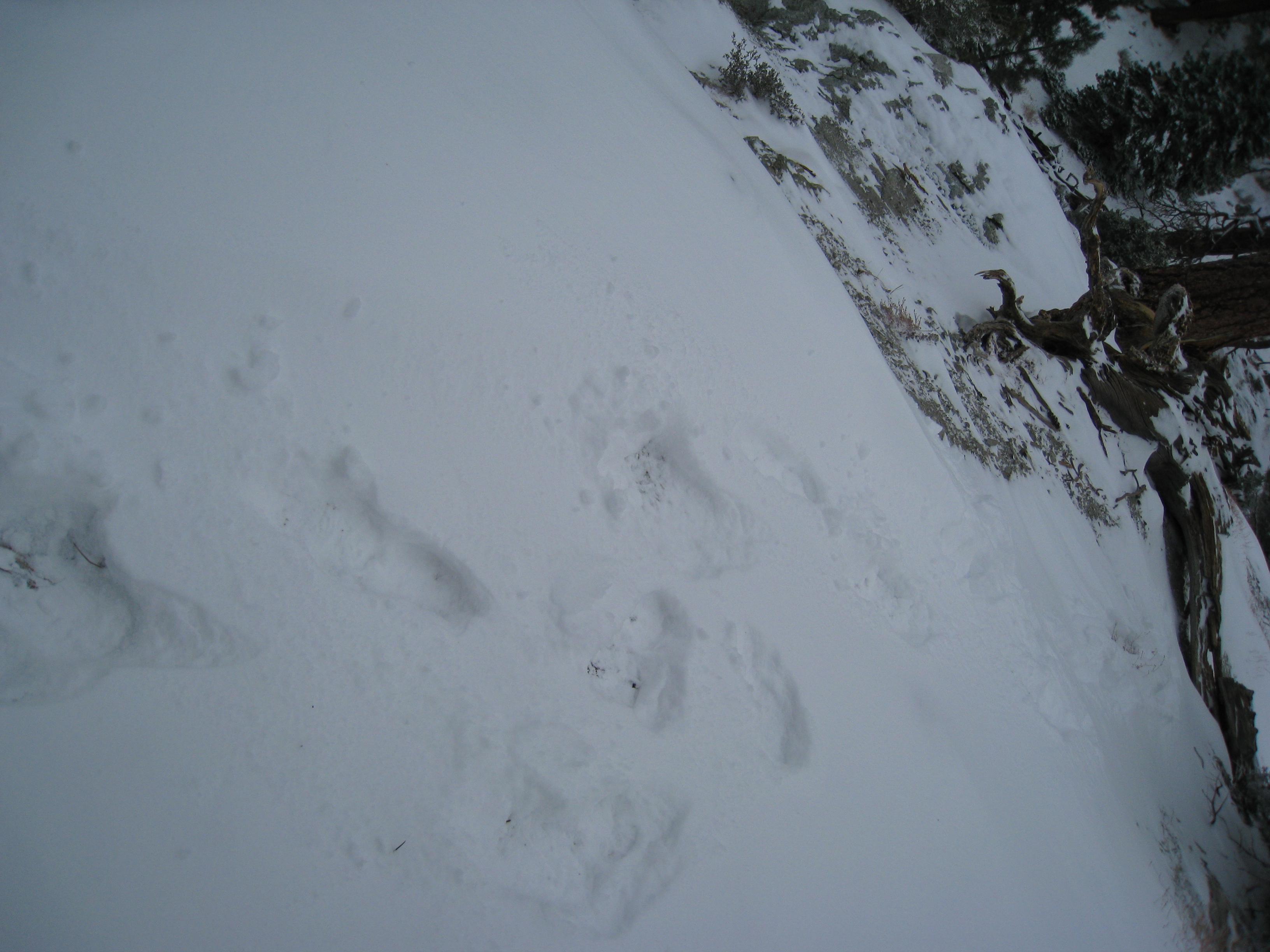
Not a single human, nor a single human footprint the entire day. But LOTS of deer prints (never did see an actual deer though).
After briefly losing the trail and having to backtrack, I made it the top of the Acorn trail. 8240'. Temperature is now 26 degrees.

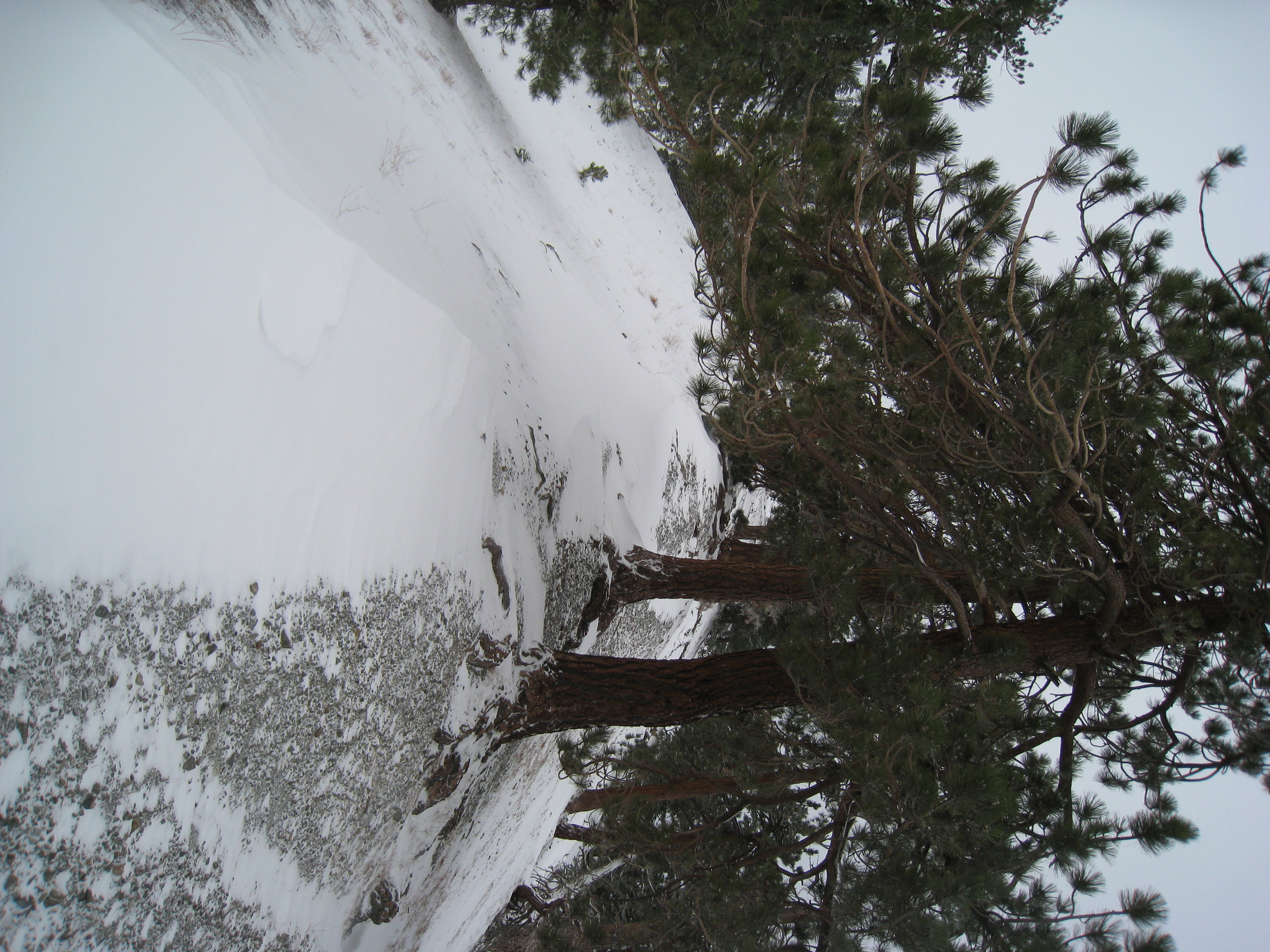
You have to follow a fireroad along the ridge for about a mile to get to the next section of single track. This road is part of the famous Pacific Crest Trail…
Here is where the Backbone Trail starts. Obvious isn't it? I'm not sure how you would ever now without having done it before.

If you look over the side of the fireroad at just the right spot, you can see the sign that marks the start of the Backbone trail. One of my favorite trails.

It's hard to tell from the picture, but this is a STEEP descent. It was slippery and hard to find the trail in completely dry conditions. Now that it's covered…
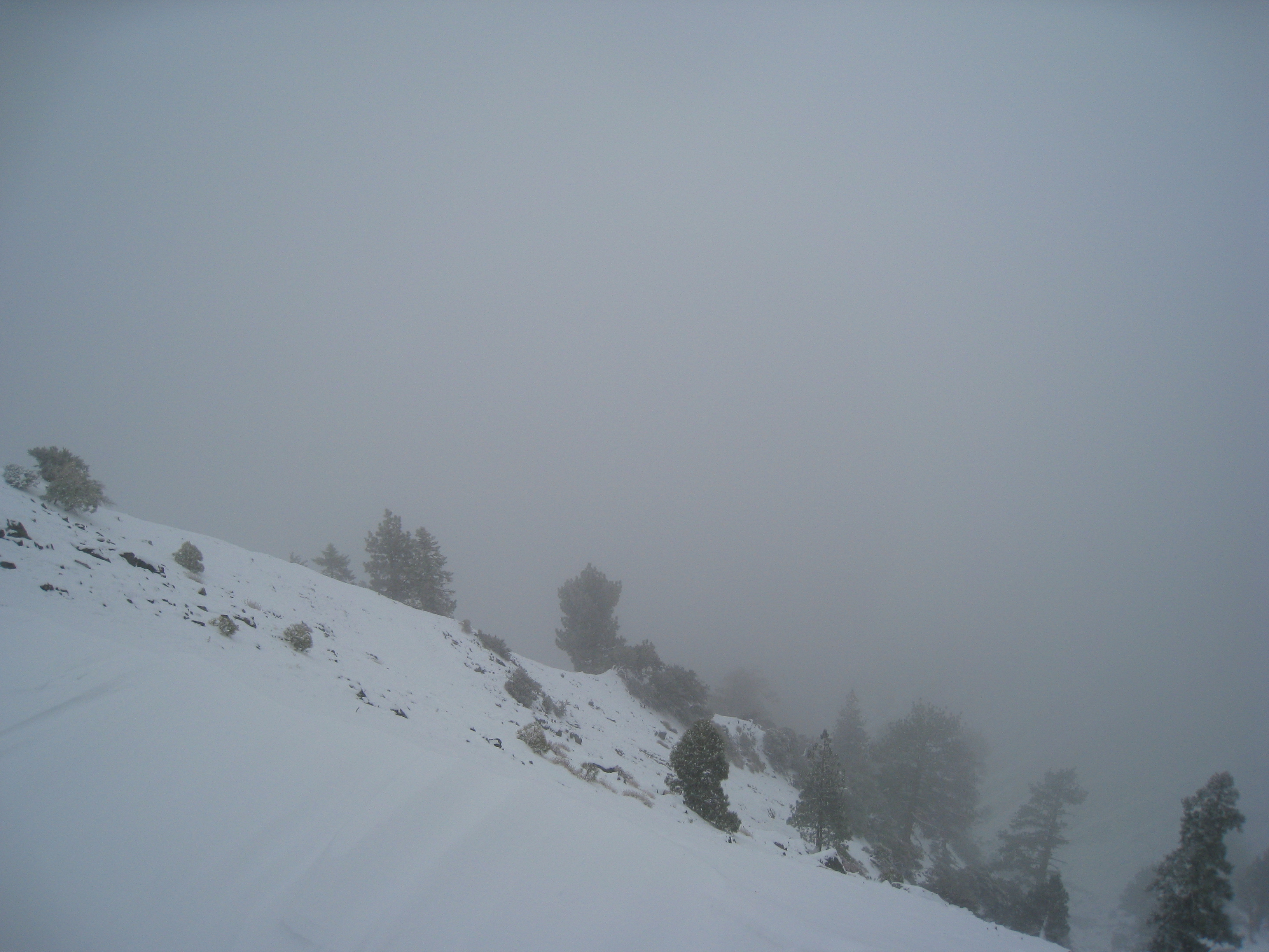
I'm beginning to have second thoughts now. The snow is getting deeper. It's now 18 degrees (and that's without the wind chill). No more sun out, it's starting…
It's called the Backbone trail for good reason. You follow this narrow ridge between two peaks with steep drop offs on either side. It is WINDY here. You can…
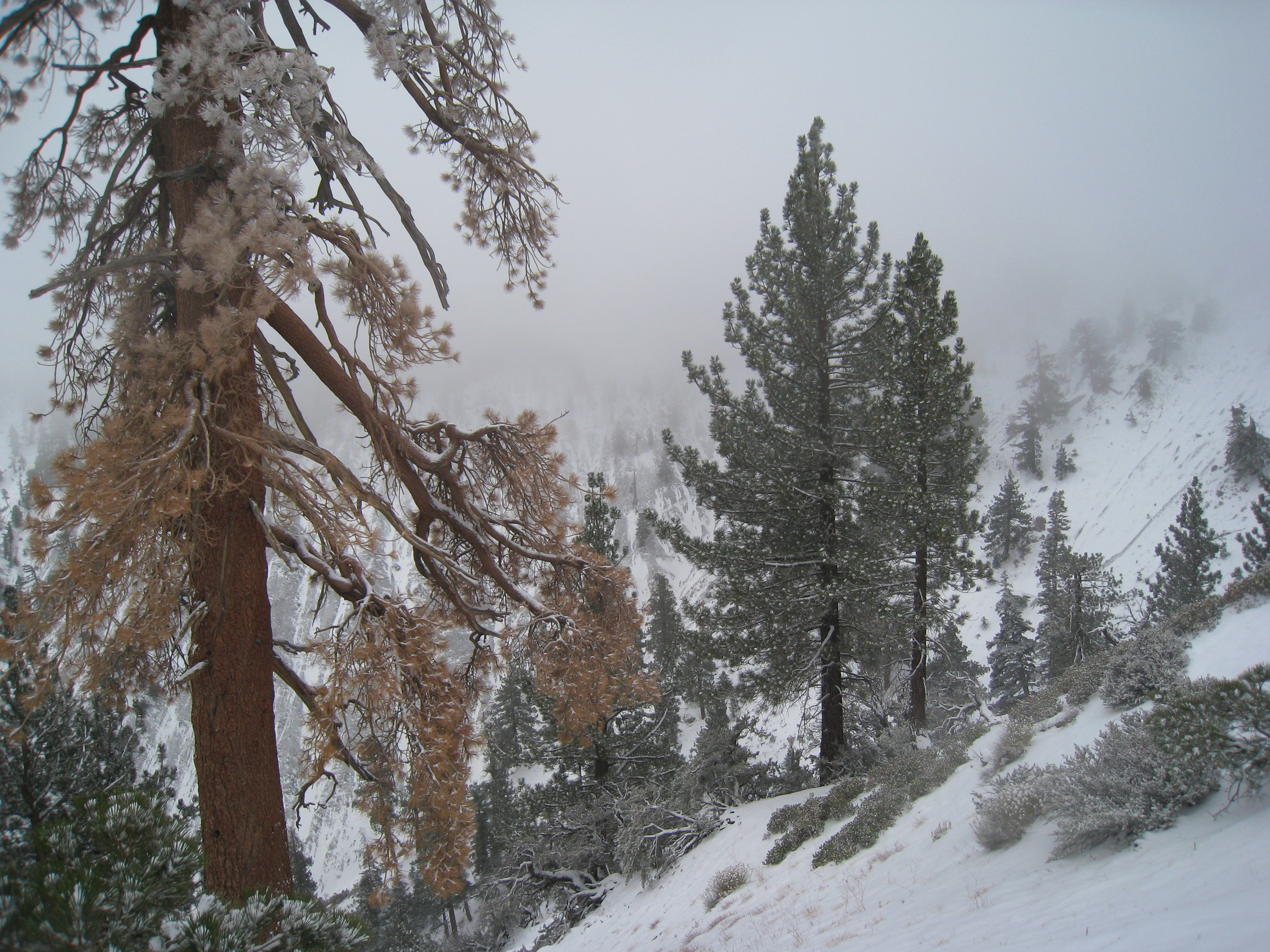
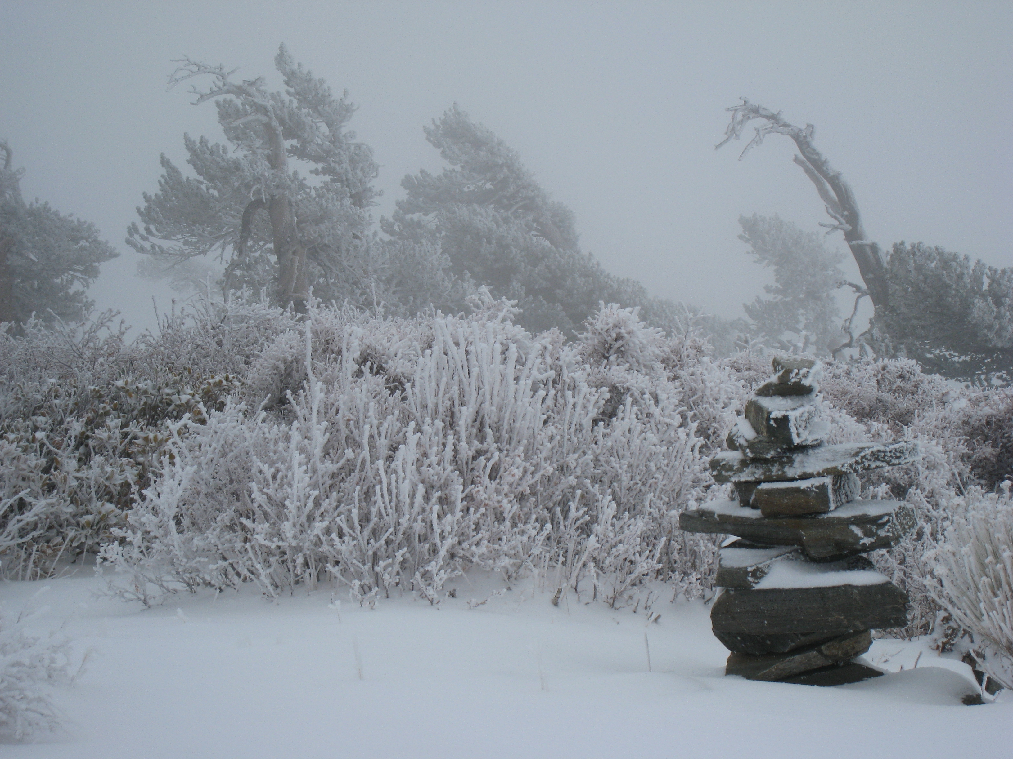
Despite the cold, I still have a chance to enjoy the amazing scenery.
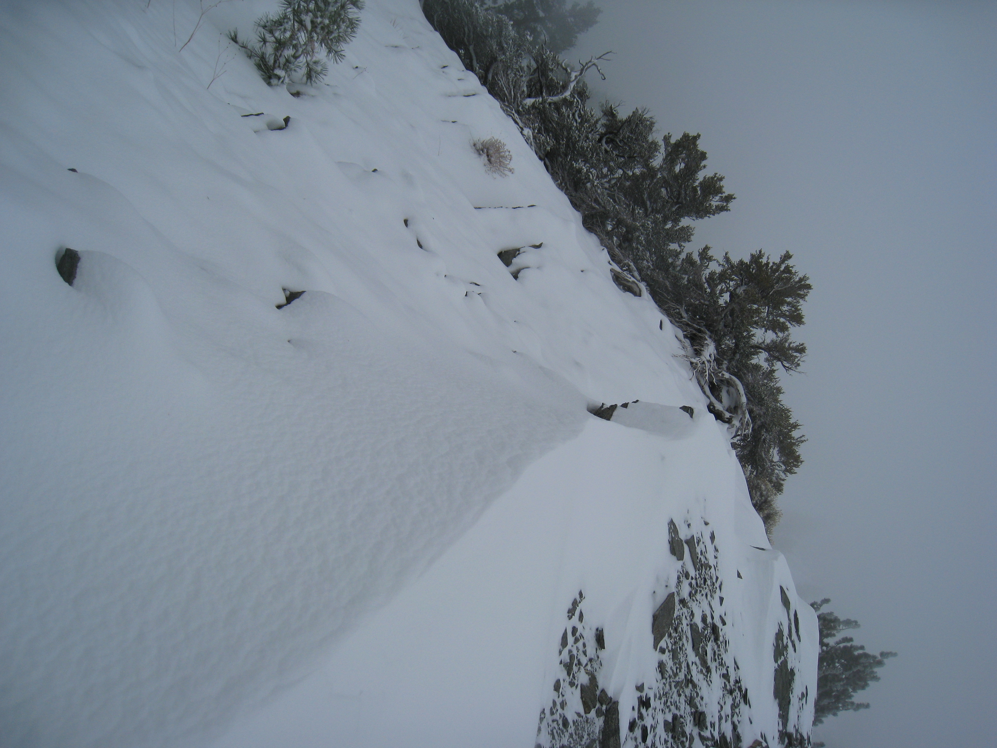
Depending on the wind, there are areas of knee deep snow. You have to be really careful where you step.
Even though the trail is invisible, it's tough to get lost here. Just follow the ridge. But it is getting really cold. The thermometer is hovering between 15…
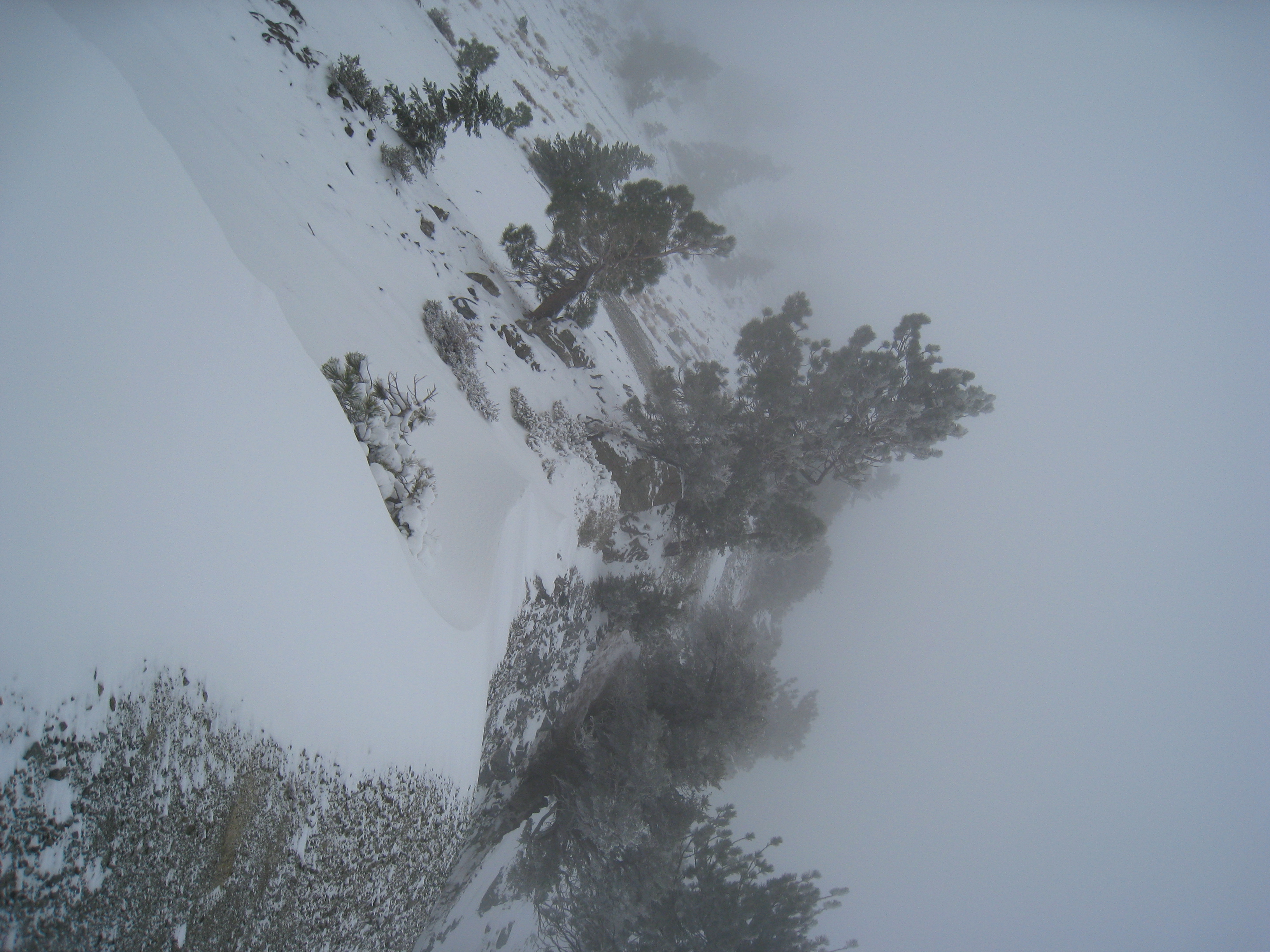
Once the trail leaves the obvious ridgeline, things start getting a lot tougher. This area of the trail was VERY hard to follow even with zero snow. Now it's…
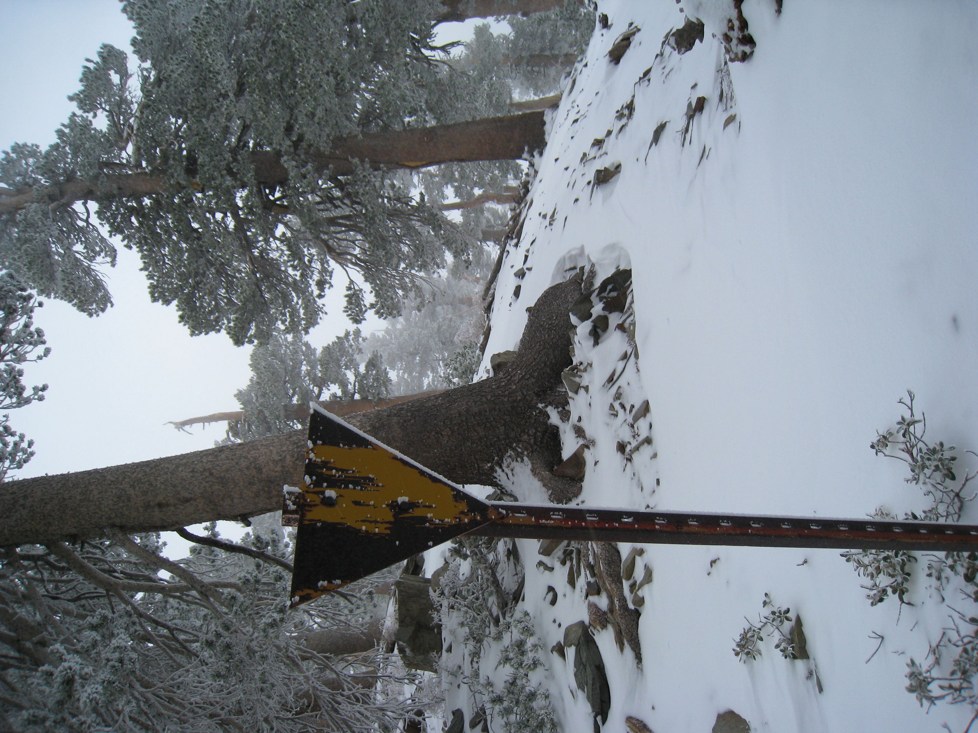
A sign! I must be headed in the right direction. My mountaineering skills are improving :) However, now that I feel less lost, I start to become aware of my…
I made it to Pine Mtn. Elevation 9648'. I was beginning to seriously wonder if I would make it this far. It's a bit warmer here away from the ridgeline (upper…

A 360 video from the top of Pine Mtn. You can hear the wind and the snow falling.